Elevation of Pocahontas County, IA, USA
Location: United States > Iowa >
Longitude: -94.645035
Latitude: 42.6918039
Elevation: 376m / 1234feet
Barometric Pressure: 97KPa
Elevation Map:
Satellite Map:
Related Photos:
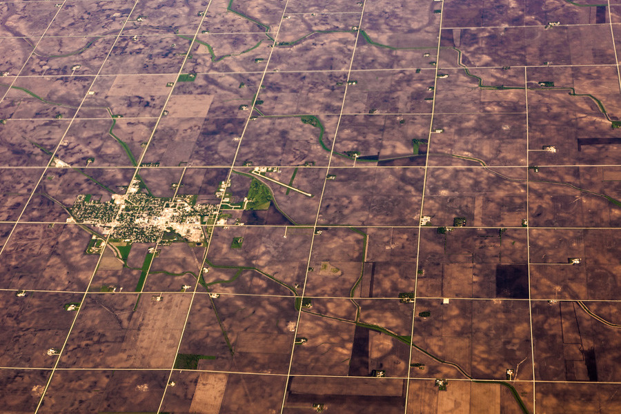
Aerial View of Pocahontas, Iowa

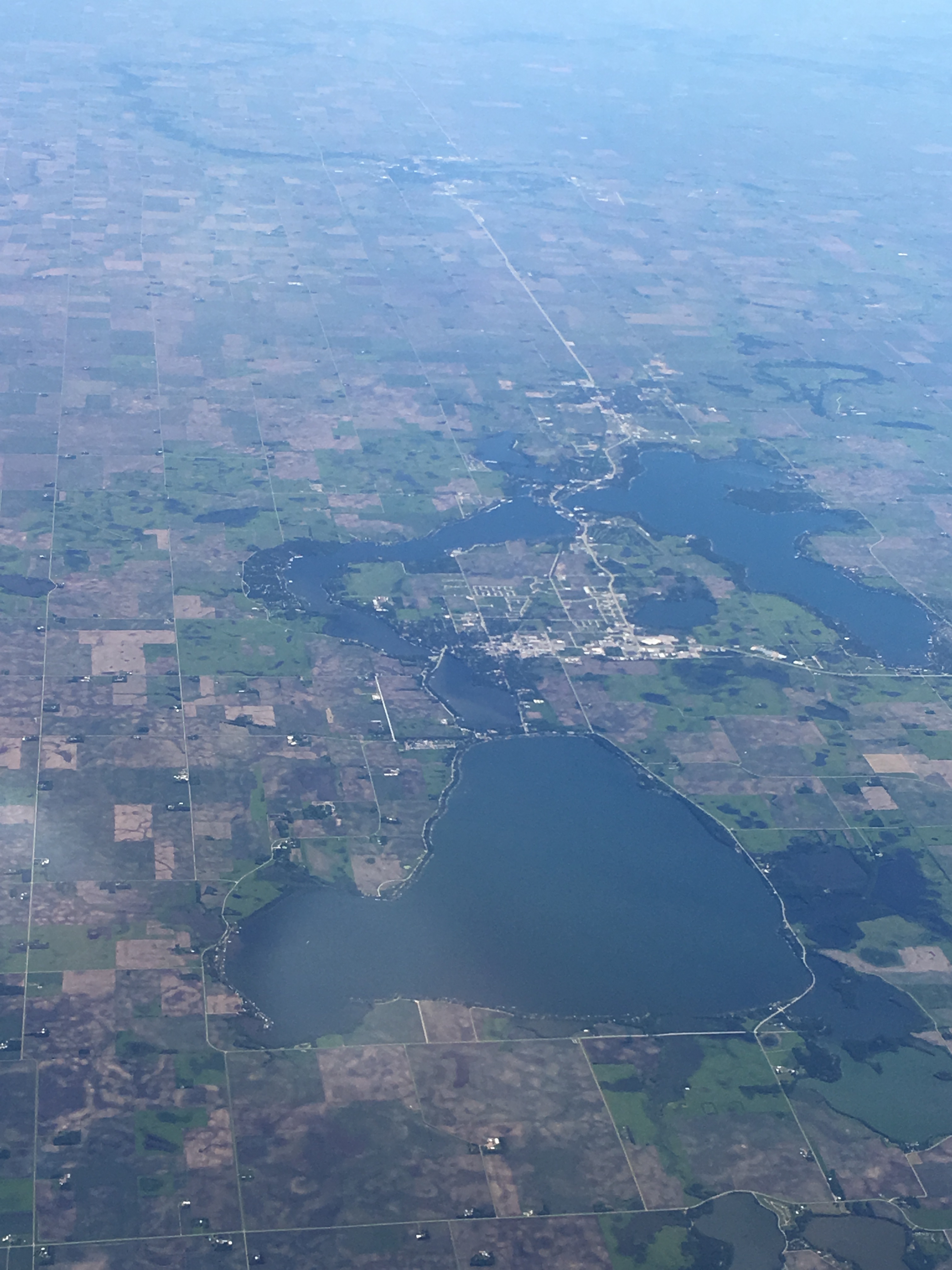
Day 640: Da Bus!
06152016-07

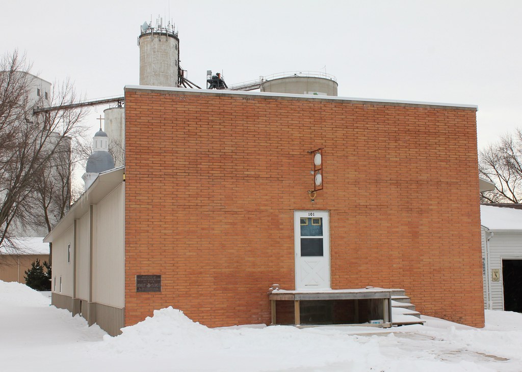
Sts. Peter & Paul Catholic Church - Pocahontas, IA

Resurrection of Our Lord Catholic Church - Pocahontas, IA

Meeting of the Service Club

Helping deliver some packages

Time to eat!

Ready for lunch at Pizza Ranch

Hanging out with the Greene County teacher leader group

Always wear your seatbelt

Checking out the Christmas treats

Wreck and Ruin release PARTY at Byron's!

RAGBRAI 2015

RAGBRAI 2015
RAGBRAI 2015 snapshots

RI 1269 Pocahontas, IA July 1972

Pocahontas County Courthouse- Pocahontas IA (1)

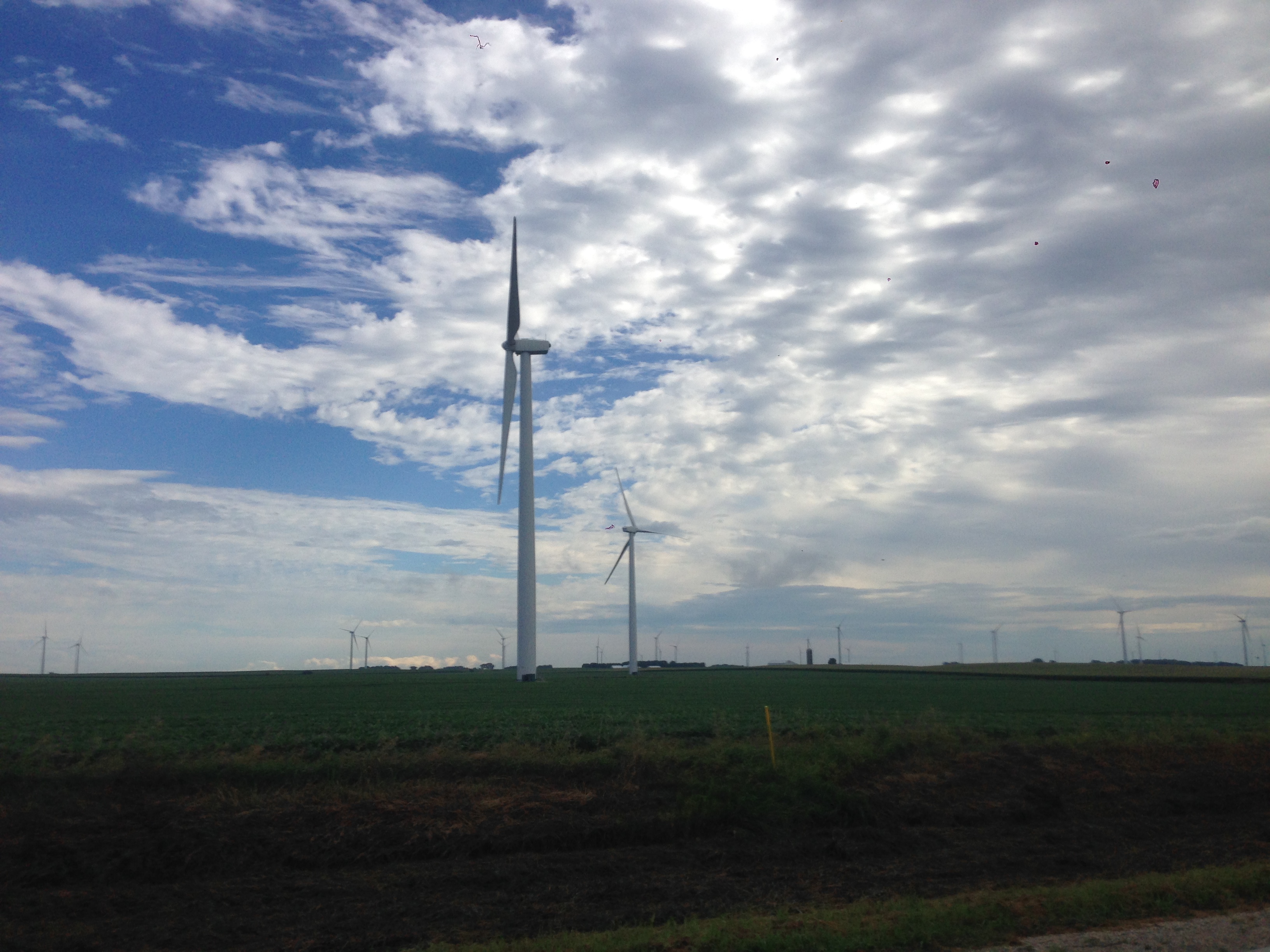
Windmills, Pocahontas, Iowa 116/365 #project365 #365 #windmill #pocahontas #iowa
Masonic Lodge - Pocahontas, IA
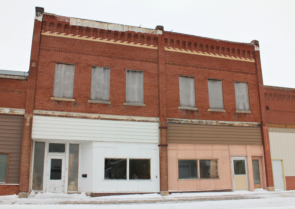
Downtown Building - Pocahontas, IA

Rialto Theater - Pocahontas, IA
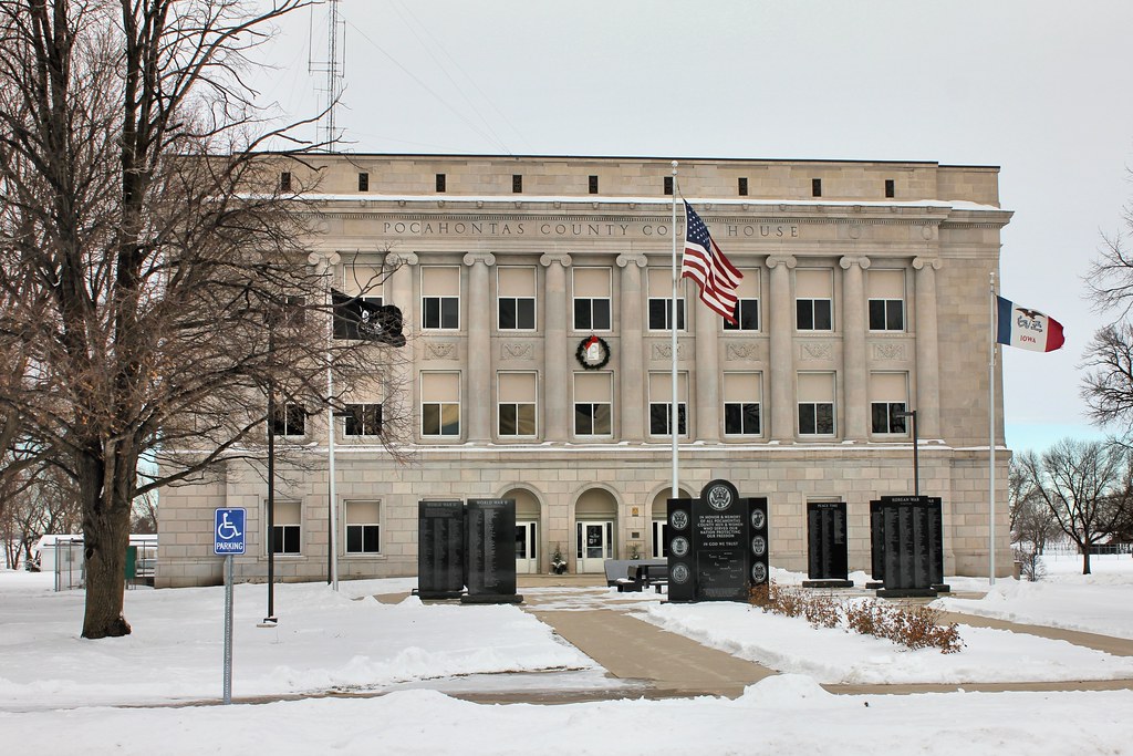
Pocahontas County Courthouse - Pocahontas, IA
Topographic Map of Pocahontas County, IA, USA
Find elevation by address:

Places in Pocahontas County, IA, USA:
Places near Pocahontas County, IA, USA:
Palmer
Main St, Palmer, IA, USA
51253 270th Ave
Roosevelt
Pomeroy
S Cayuga St, Pomeroy, IA, USA
Powhatan
Plover
th St, Rolfe, IA, USA
1509 Main St
Manson
10th Ave, Manson, IA, USA
917 8th Ave
Country Store
Butler
Lincoln
Main St, Pomeroy, IA, USA
N Main St, Fonda, IA, USA
Fonda
S East St, Mallard, IA, USA
Recent Searches:
- Elevation of W Granada St, Tampa, FL, USA
- Elevation of Pykes Down, Ivybridge PL21 0BY, UK
- Elevation of Jalan Senandin, Lutong, Miri, Sarawak, Malaysia
- Elevation of Bilohirs'k
- Elevation of 30 Oak Lawn Dr, Barkhamsted, CT, USA
- Elevation of Luther Road, Luther Rd, Auburn, CA, USA
- Elevation of Unnamed Road, Respublika Severnaya Osetiya — Alaniya, Russia
- Elevation of Verkhny Fiagdon, North Ossetia–Alania Republic, Russia
- Elevation of F. Viola Hiway, San Rafael, Bulacan, Philippines
- Elevation of Herbage Dr, Gulfport, MS, USA