Elevation of Butler, IA, USA
Location: United States > Iowa > Calhoun County >
Longitude: -94.748451
Latitude: 42.5116203
Elevation: 372m / 1220feet
Barometric Pressure: 97KPa
Elevation Map:
Satellite Map:
Related Photos:
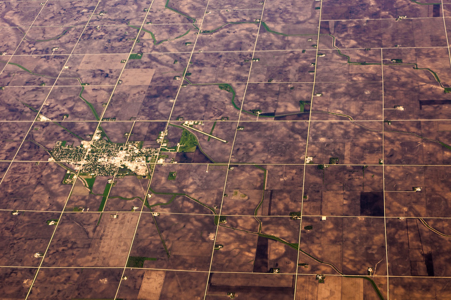
Aerial View of Pocahontas, Iowa

The Old Workshop

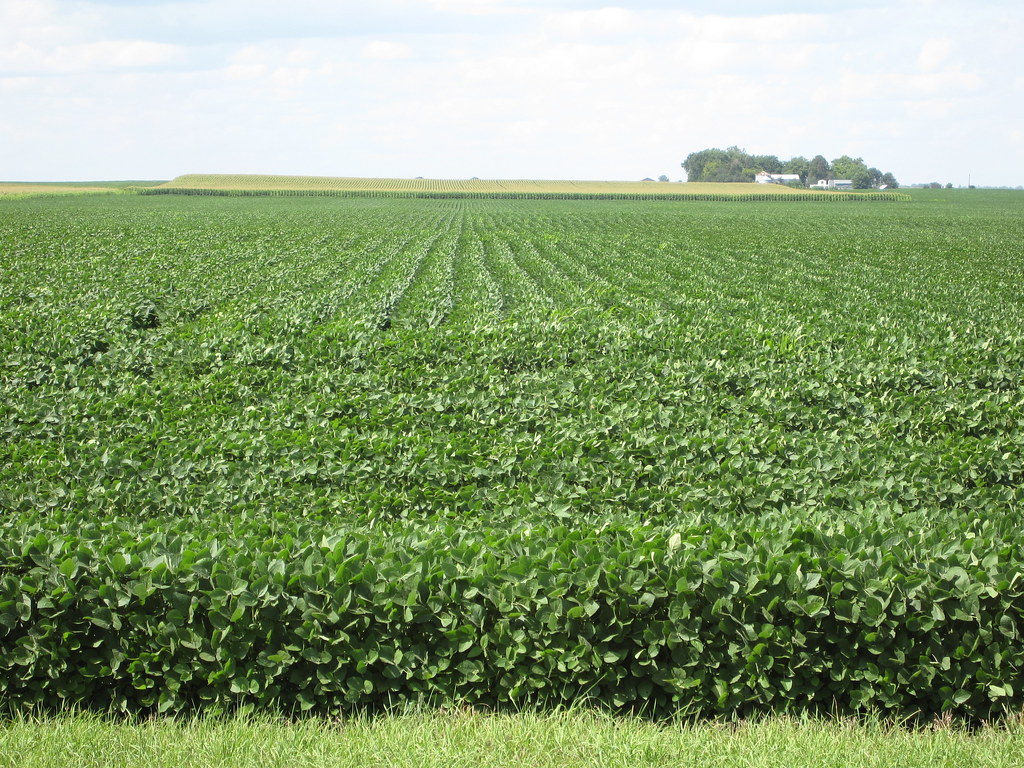
Harvest Time in Iowa
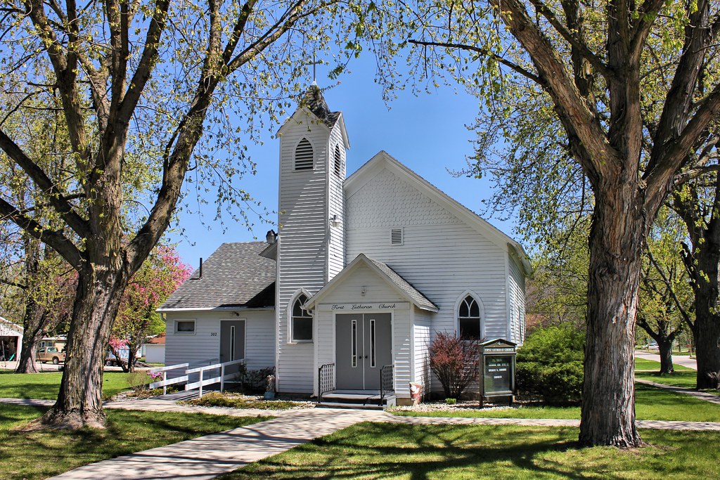
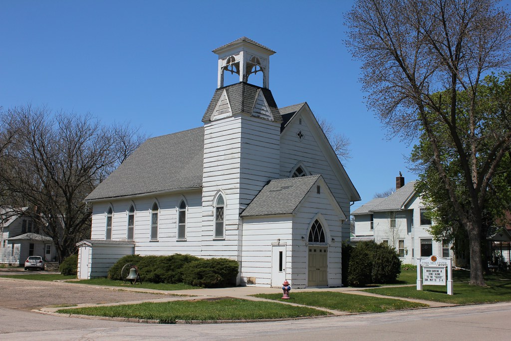
First Lutheran Church - Fonda, IA

Camping at Twin Lakes
Partly cloudy lol
img_2166.jpg
img_2167.jpg

Pomeroy, Iowa. For a lifetime. 132/365 #project365 #365 #pomeroy #iowa

Wreck and Ruin release PARTY at Byron's!
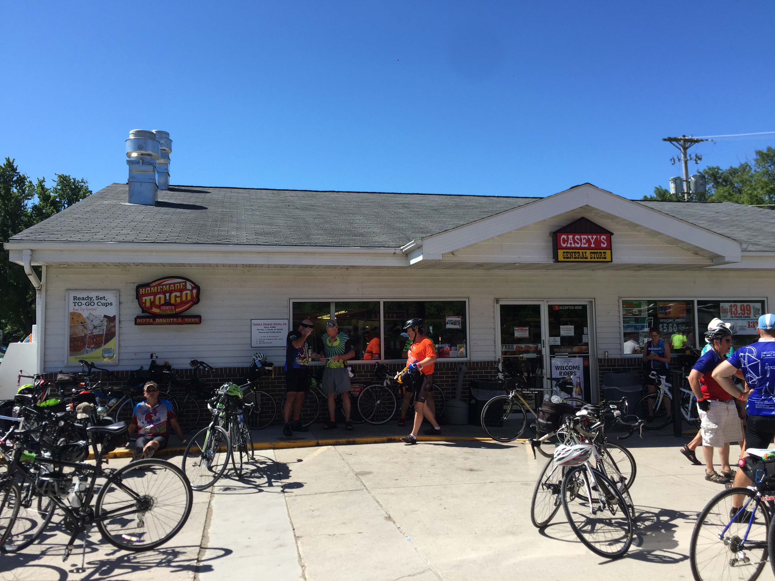
RAGBRAI 2015

RAGBRAI 2015
RAGBRAI 2015 snapshots
Presbyterian Church (Former) - Fonda, IA
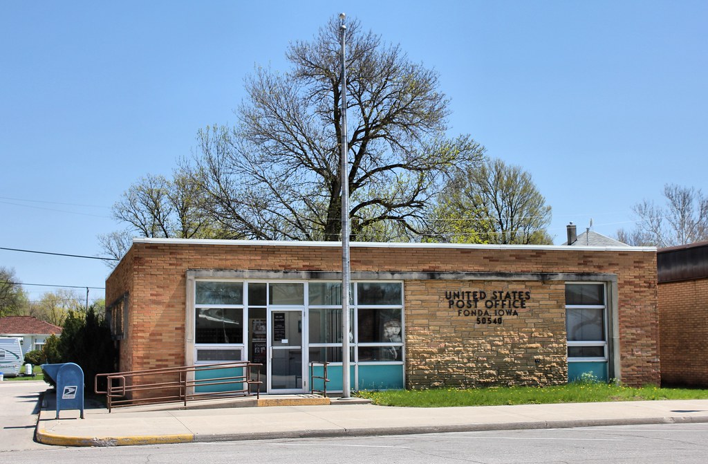
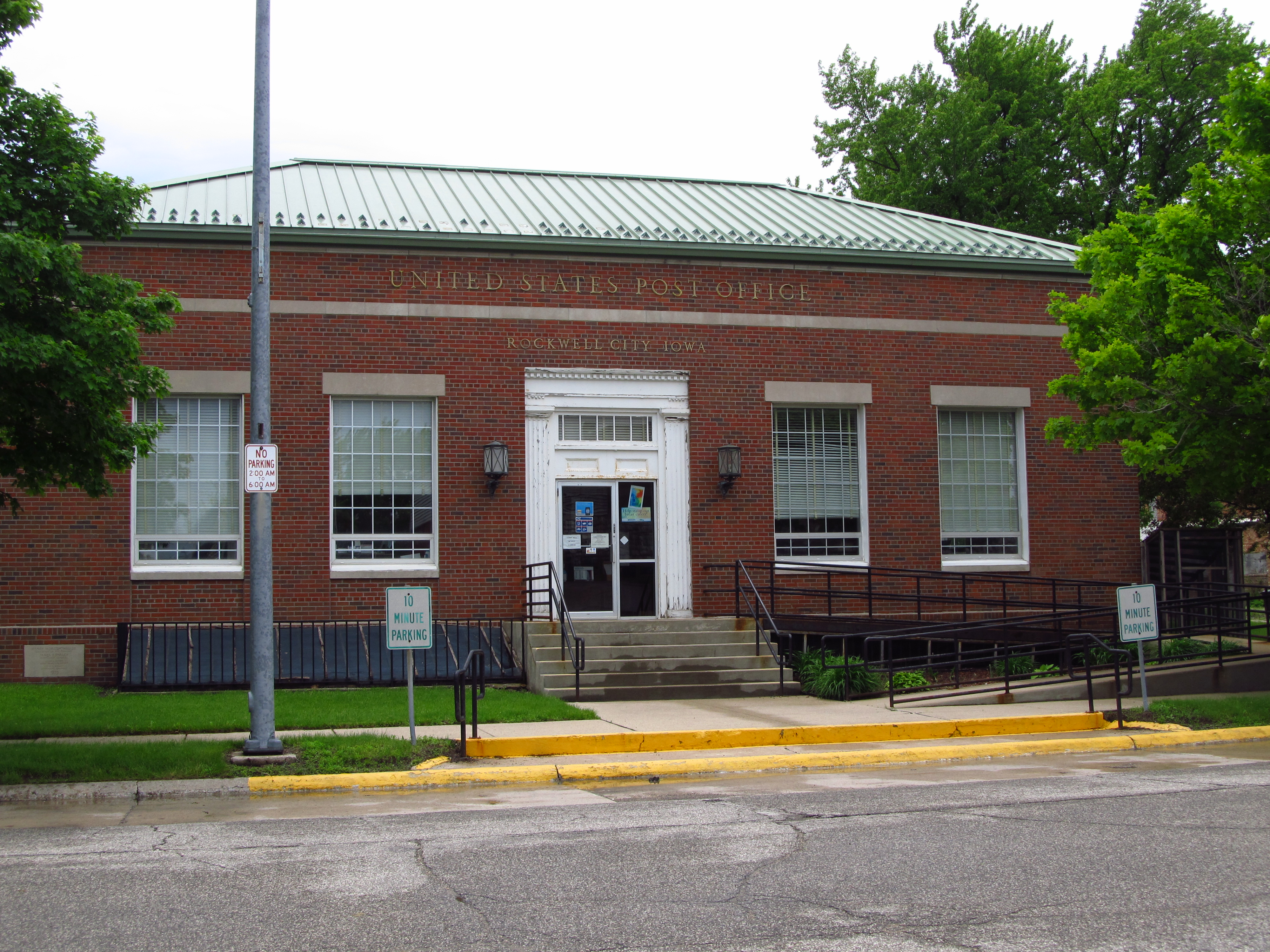
Post Office - Fonda, IA

Our Lady of Good Counsel Catholic Church - Fonda, IA
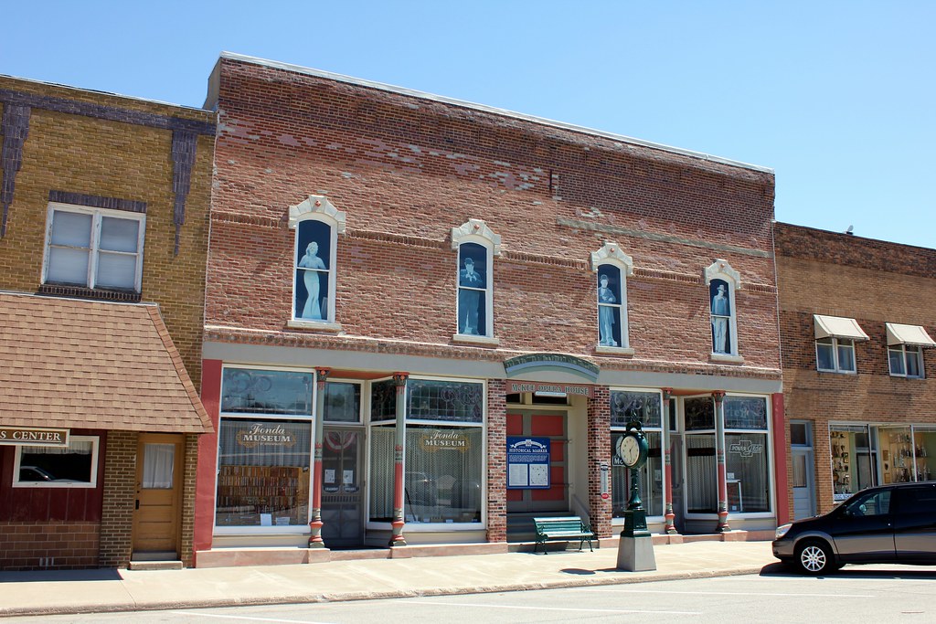
McKee Opera House - Fonda, IA
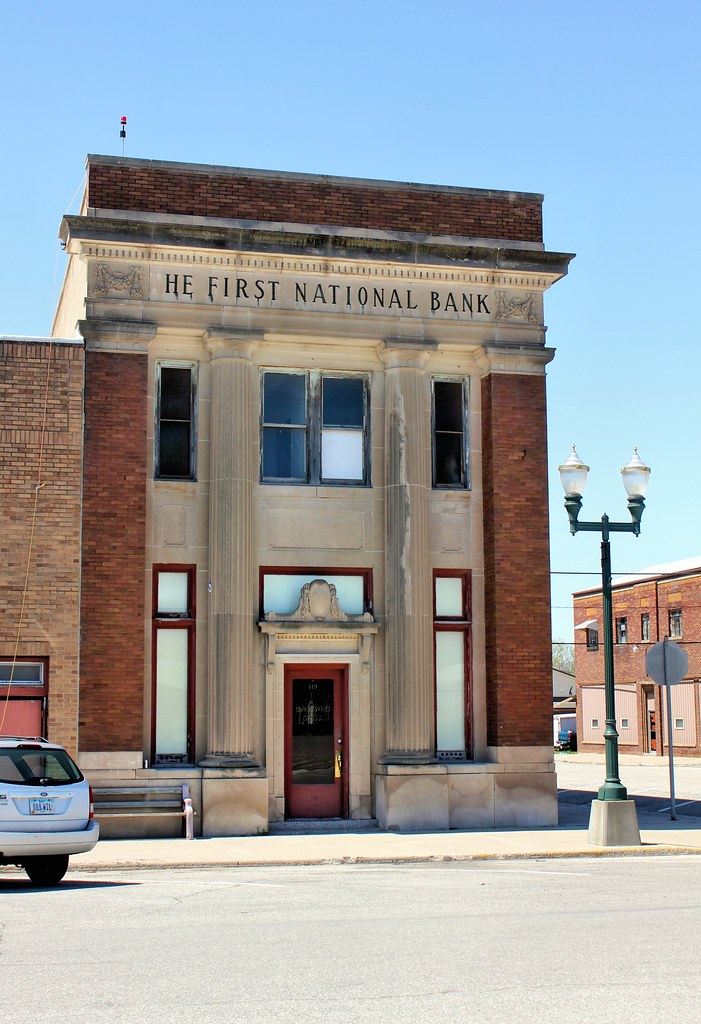
First National Bank Building - Fonda, IA
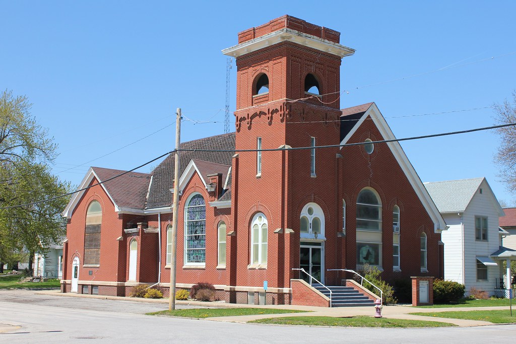
United Church of Christ - Fonda, IA
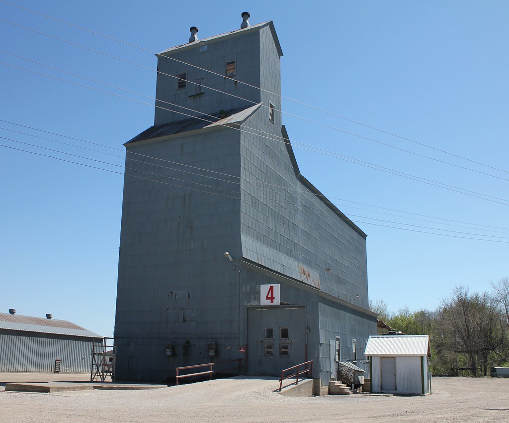
Grain Elevator - Fonda, IA
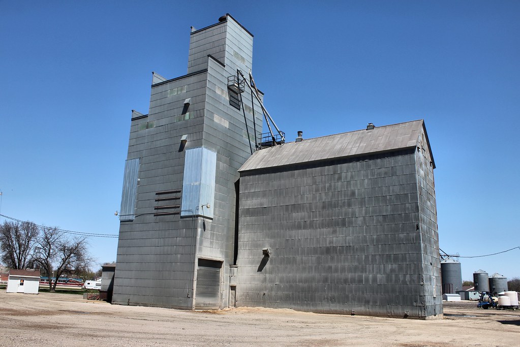
Feed Mill - Fonda, IA
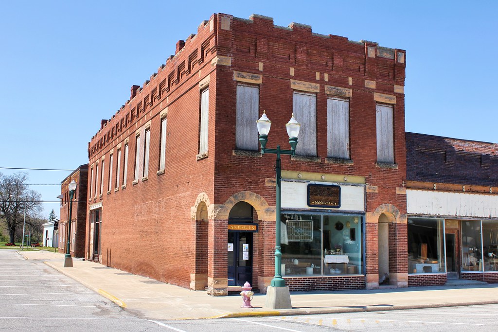
Downtown Building - Fonda, IA
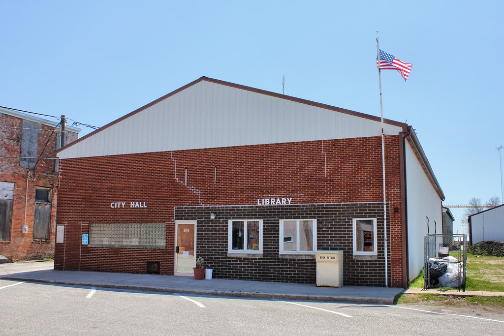
City Hall & Public Library - Fonda, IA
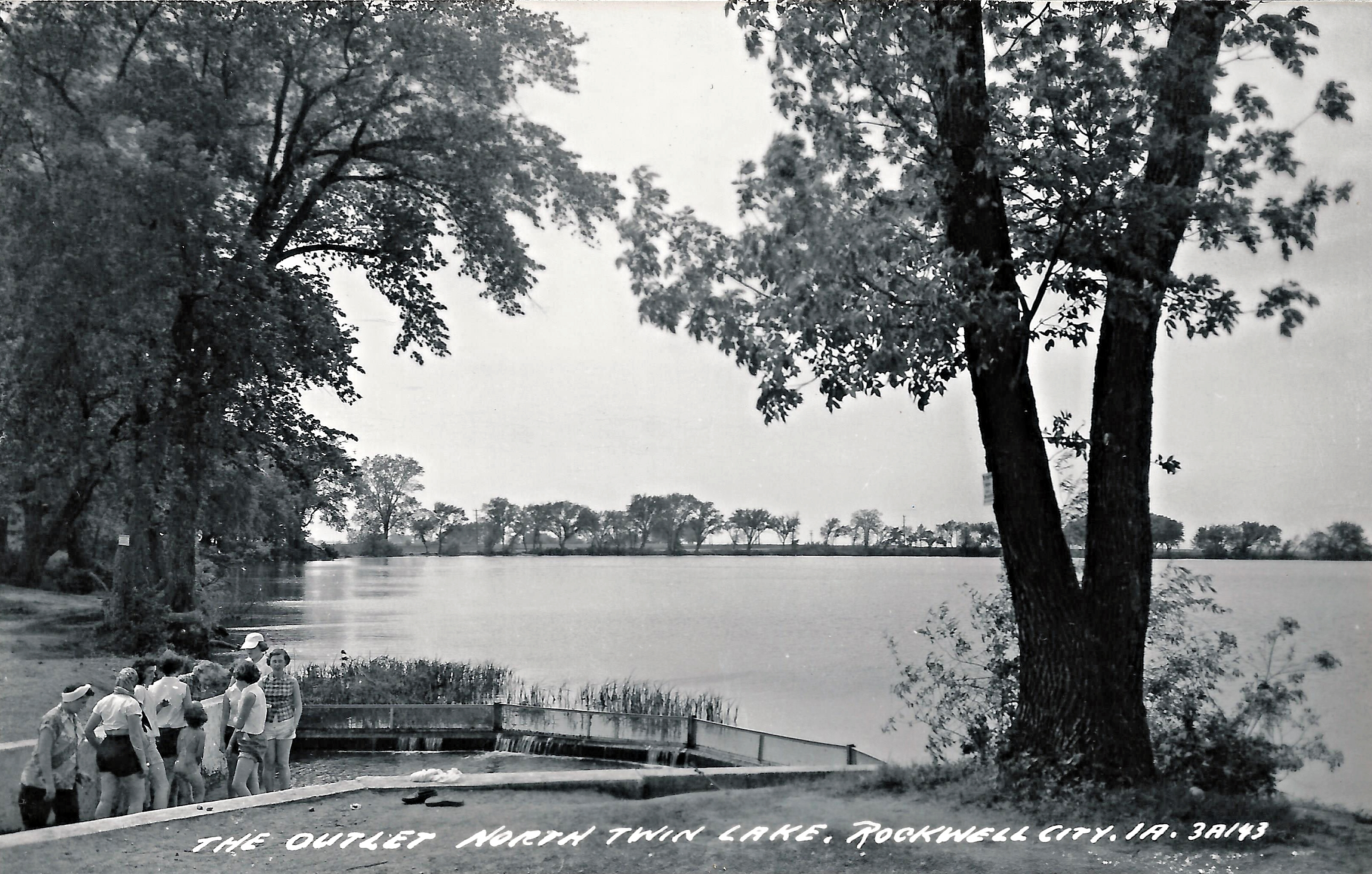
Rockwell City, Iowa, North Twin Lake, Outlet
Rockwell City, Iowa

Rockwell City, Iowa
Topographic Map of Butler, IA, USA
Find elevation by address:

Places in Butler, IA, USA:
Places near Butler, IA, USA:
Main St, Pomeroy, IA, USA
Pomeroy
S Cayuga St, Pomeroy, IA, USA
N Main St, Fonda, IA, USA
Fonda
Cedar
Jennings Ave, Rockwell City, IA, USA
Rockwell City Mobile Meals
Rockwell City
Calhoun County
Lake Creek
Cedar
Palmer
Main St, Palmer, IA, USA
Pocahontas County
917 8th Ave
Country Store
Manson
10th Ave, Manson, IA, USA
1509 Main St
Recent Searches:
- Elevation of Hercules Dr, Colorado Springs, CO, USA
- Elevation of Szlak pieszy czarny, Poland
- Elevation of Griffing Blvd, Biscayne Park, FL, USA
- Elevation of Kreuzburger Weg 13, Düsseldorf, Germany
- Elevation of Gateway Blvd SE, Canton, OH, USA
- Elevation of East W.T. Harris Boulevard, E W.T. Harris Blvd, Charlotte, NC, USA
- Elevation of West Sugar Creek, Charlotte, NC, USA
- Elevation of Wayland, NY, USA
- Elevation of Steadfast Ct, Daphne, AL, USA
- Elevation of Lagasgasan, X+CQH, Tiaong, Quezon, Philippines