Elevation of Fonda, IA, USA
Location: United States > Iowa > Pocahontas County > Cedar >
Longitude: -94.846095
Latitude: 42.5813666
Elevation: 375m / 1230feet
Barometric Pressure: 97KPa
Elevation Map:
Satellite Map:
Related Photos:

The Old Workshop
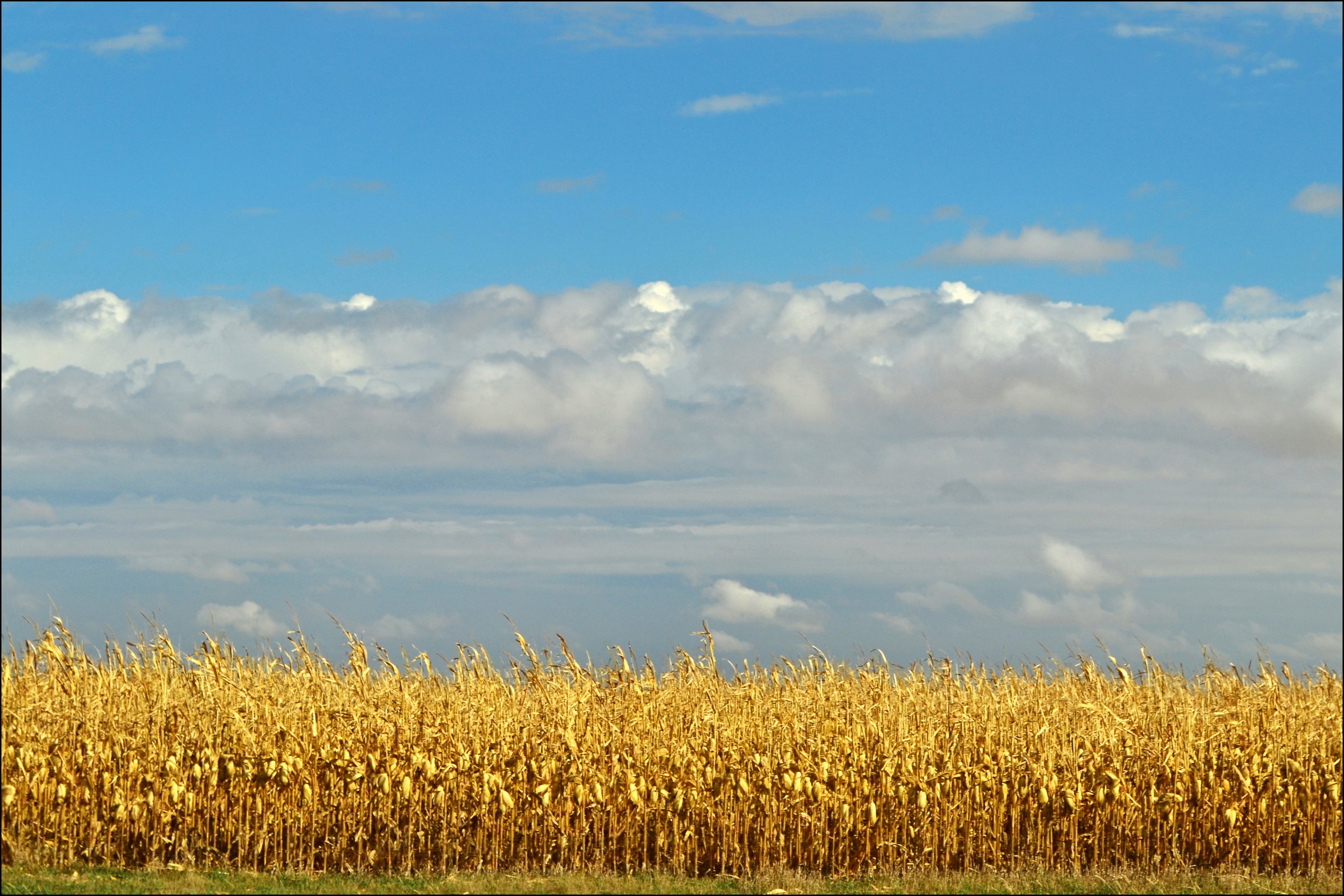
Harvest Time in Iowa
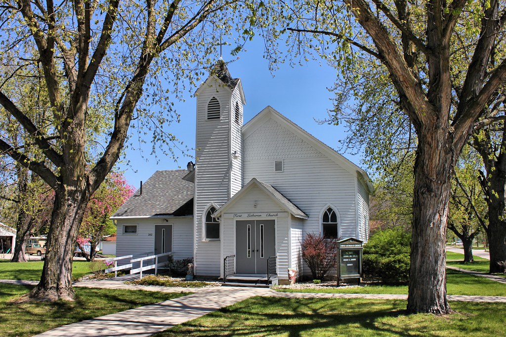
First Lutheran Church - Fonda, IA
Elephant's Eye (2)
06152016-07

Pomeroy, Iowa. For a lifetime. 132/365 #project365 #365 #pomeroy #iowa
Wreck and Ruin release PARTY at Byron's!
RAGBRAI 2015

RAGBRAI 2015

RAGBRAI 2015
RAGBRAI 2015
RAGBRAI 2015 snapshots

RAGBRAI 2015 snapshots
Ragbrai 2015
Ragbrai 2015
Ragbrai 2015

Ragbrai 2015
Presbyterian Church (Former) - Fonda, IA
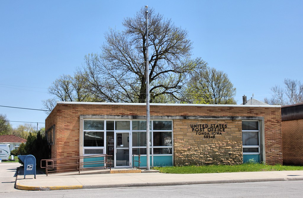
Post Office - Fonda, IA
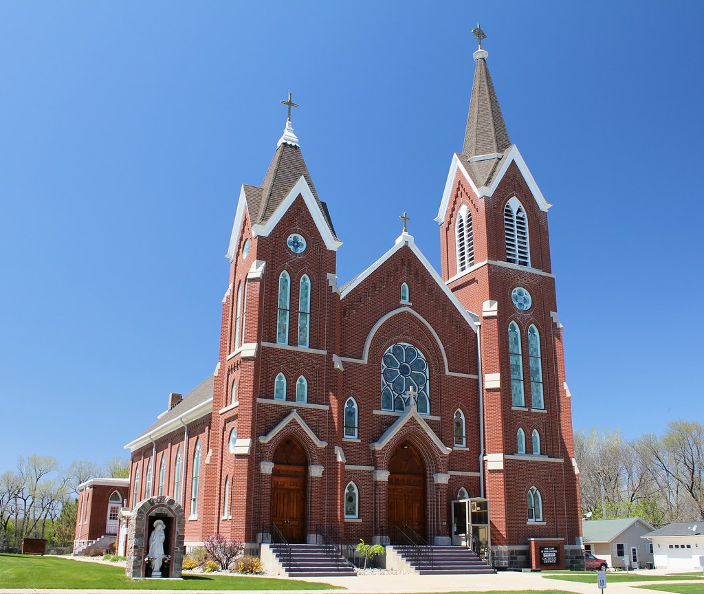
Our Lady of Good Counsel Catholic Church - Fonda, IA
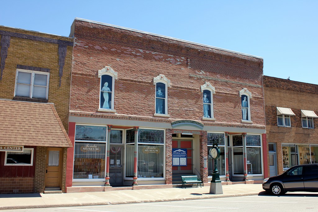
McKee Opera House - Fonda, IA
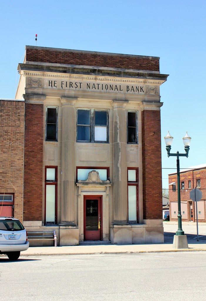
First National Bank Building - Fonda, IA
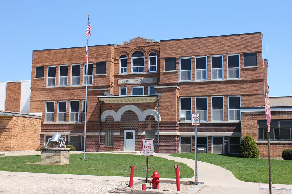
Public School - Newell, IA
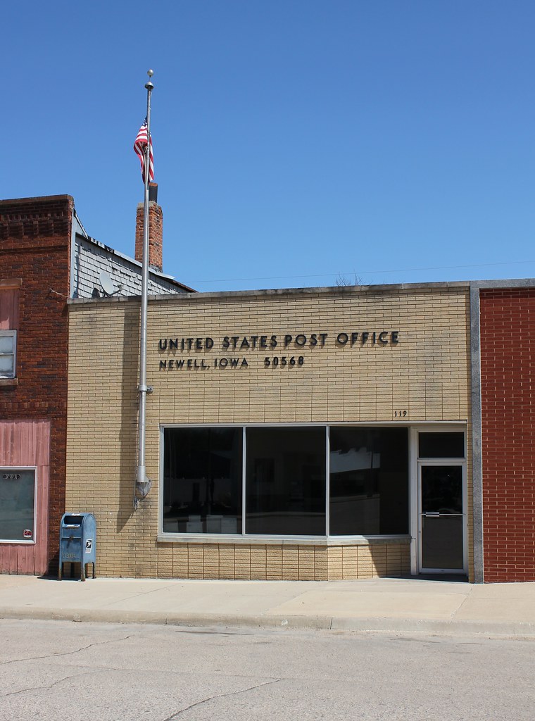
Post Office - Newell, IA
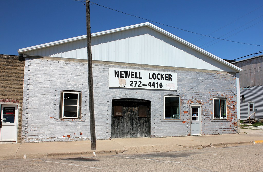
Newell Locker - Newell, IA
Topographic Map of Fonda, IA, USA
Find elevation by address:

Places in Fonda, IA, USA:
Places near Fonda, IA, USA:
N Main St, Fonda, IA, USA
Cedar
Butler
Main St, Pomeroy, IA, USA
Pomeroy
S Cayuga St, Pomeroy, IA, USA
Cedar
3141 255th St
N 5th St, Sac City, IA, USA
Sac City
521 W Main St
Albert City
119 S 16th St
Fairfield
2nd St N, Albert City, IA, USA
1916 W Main St
Pocahontas County
Palmer
Jackson
Main St, Palmer, IA, USA
Recent Searches:
- Elevation of Corcoran Ln, Suffolk, VA, USA
- Elevation of Mamala II, Sariaya, Quezon, Philippines
- Elevation of Sarangdanda, Nepal
- Elevation of 7 Waterfall Way, Tomball, TX, USA
- Elevation of SW 57th Ave, Portland, OR, USA
- Elevation of Crocker Dr, Vacaville, CA, USA
- Elevation of Pu Ngaol Community Meeting Hall, HWHM+3X7, Krong Saen Monourom, Cambodia
- Elevation of Royal Ontario Museum, Queens Park, Toronto, ON M5S 2C6, Canada
- Elevation of Groblershoop, South Africa
- Elevation of Power Generation Enterprises | Industrial Diesel Generators, Oak Ave, Canyon Country, CA, USA