Elevation of Main St, Pomeroy, IA, USA
Location: United States > Iowa > Calhoun County > Butler > Pomeroy >
Longitude: -94.718435
Latitude: 42.4789869
Elevation: 376m / 1234feet
Barometric Pressure: 97KPa
Elevation Map:
Satellite Map:
Related Photos:
Aerial View of Pocahontas, Iowa
Downtown Building - Manson, IA
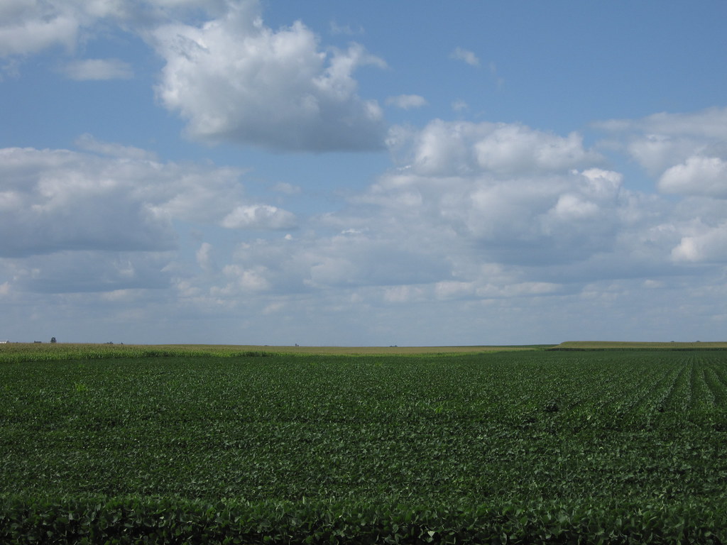
Harvest Time in Iowa

The Old Workshop
Partly cloudy lol
img_2166.jpg
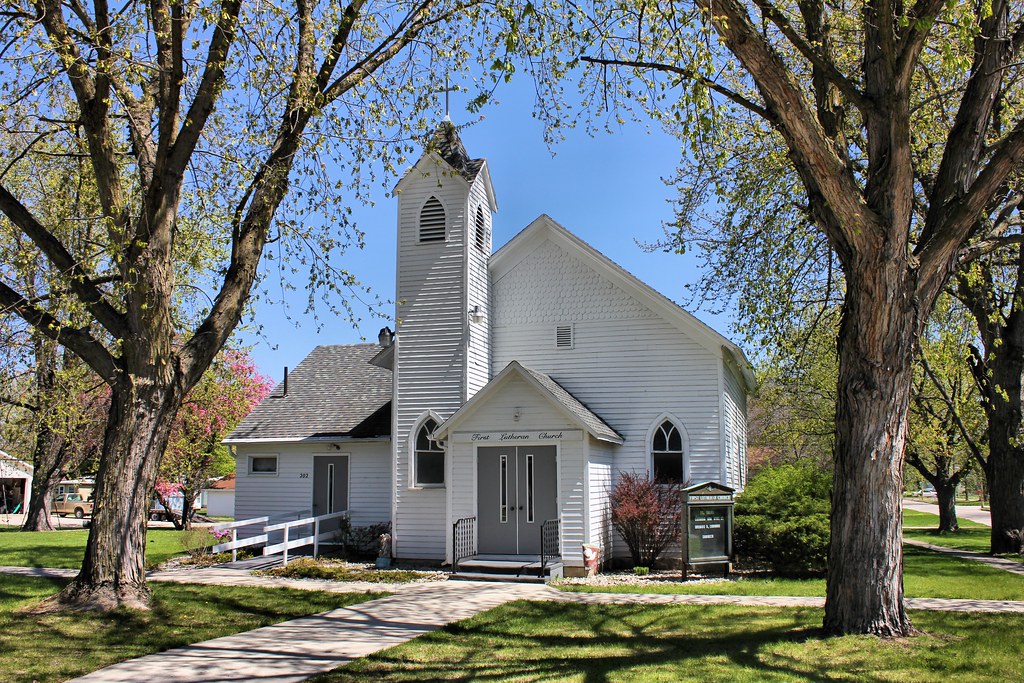
First Lutheran Church - Fonda, IA

Camping at Twin Lakes
img_2167.jpg
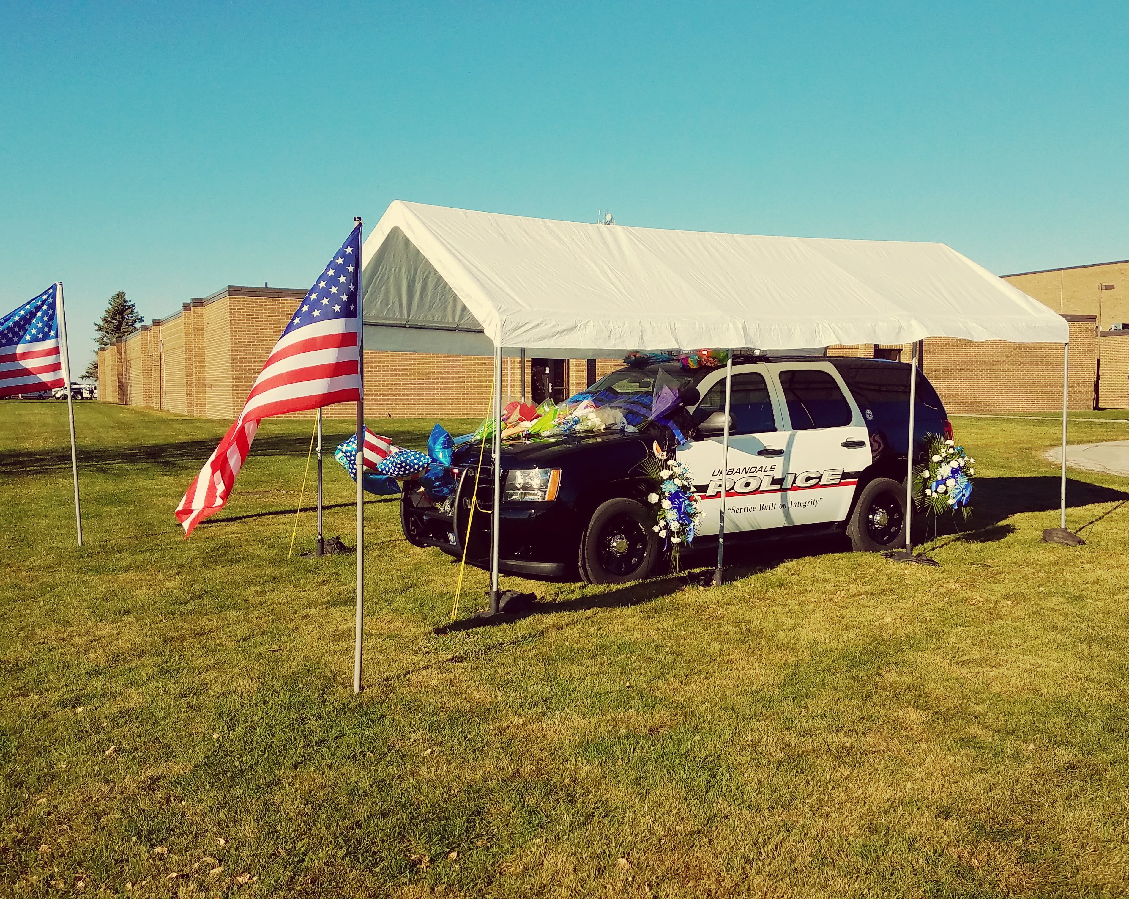
Memorial for Officer Martin

Rockwell City Police Dodge Durango
Rockwell City, Iowa
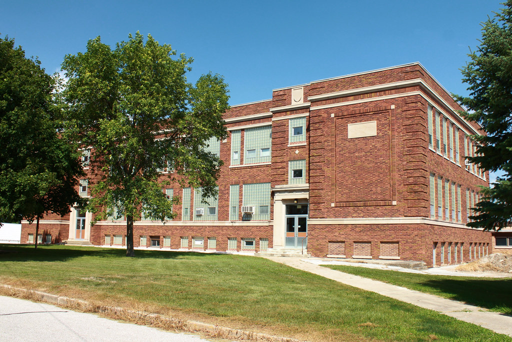
Lytton Consolidated School - Lytton, IA
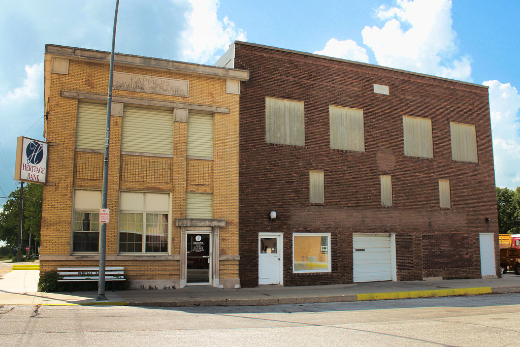
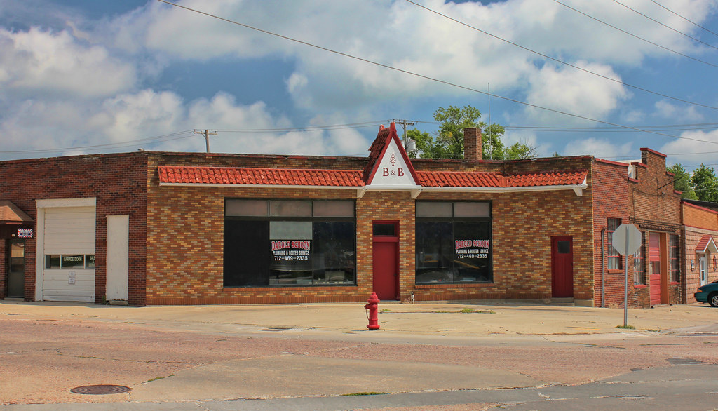
Farmers Savings Bank Building & I.O.O.F. Hall - Lytton, IA
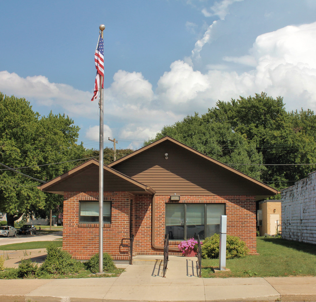
Post Office - Lytton, IA

Garage - Lytton, IA
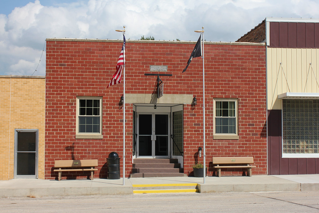
Legion Hall - Lytton, IA
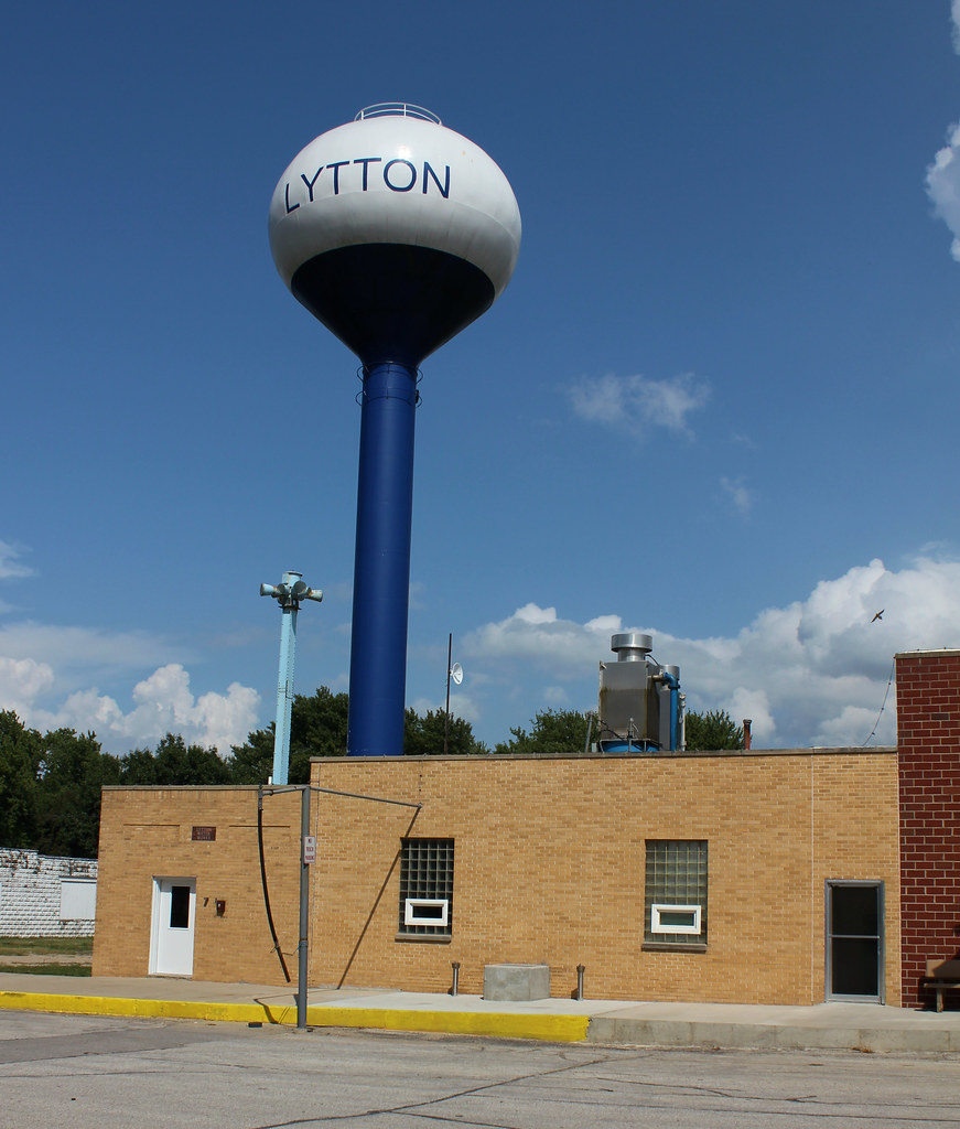
Lytton Water Works - Lytton, IA
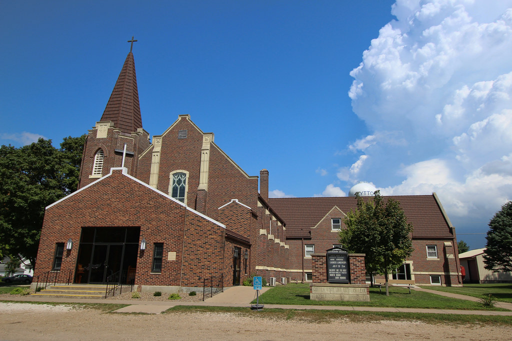
Emanuel-St. John Lutheran Church - Lytton, IA
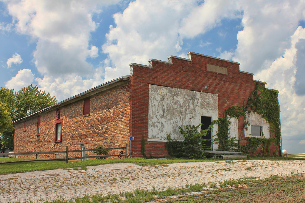
Storefront - Knoke, IA

Fire Station (Former) - Knoke, IA
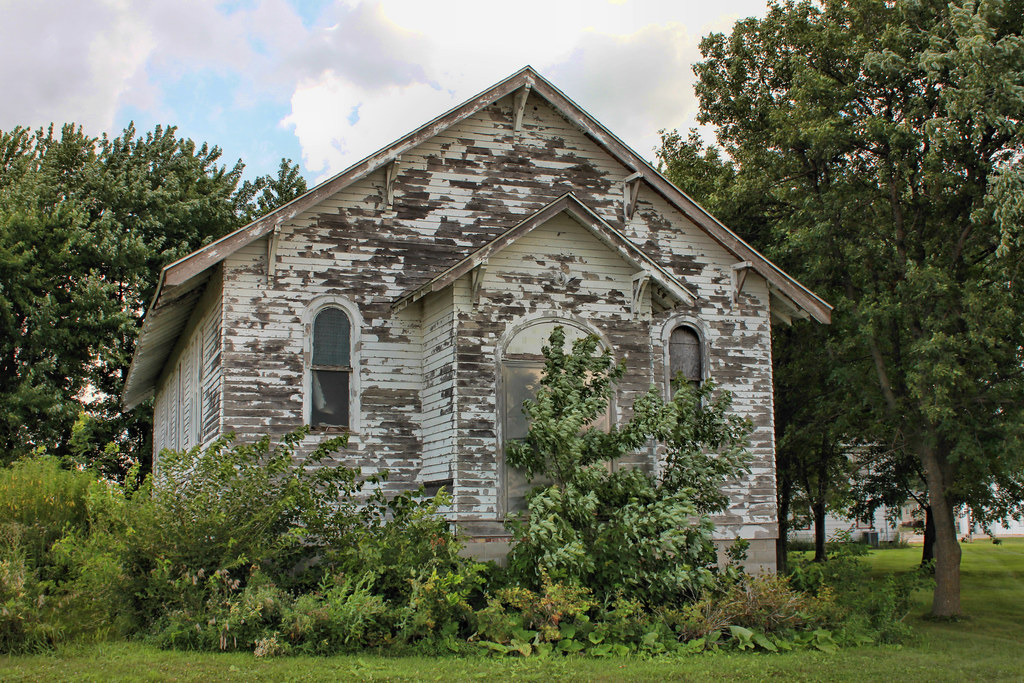
St. Paul's Lutheran Church (Former) - Knoke, IA
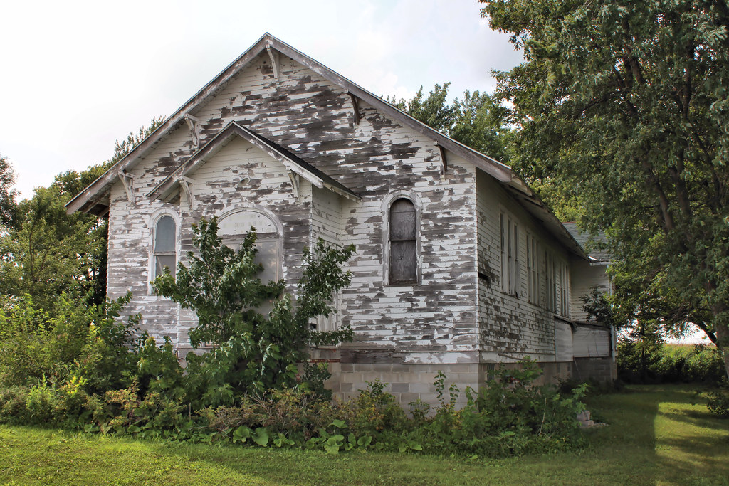
St. Paul's Lutheran Church (Former) - Knoke, IA
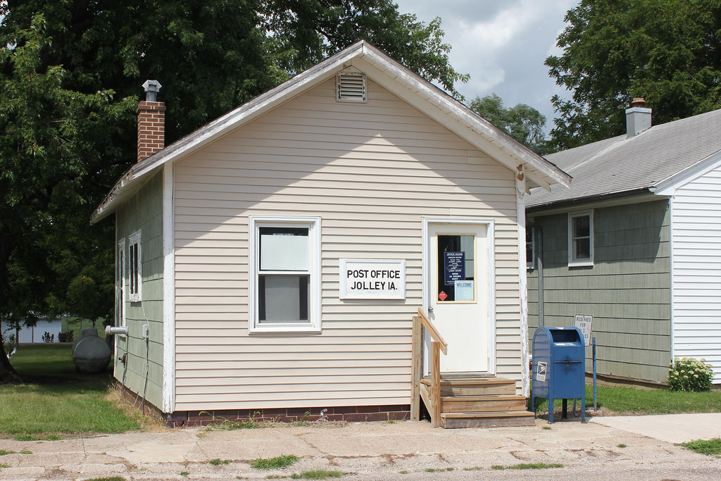
Post Office - Jolley, IA
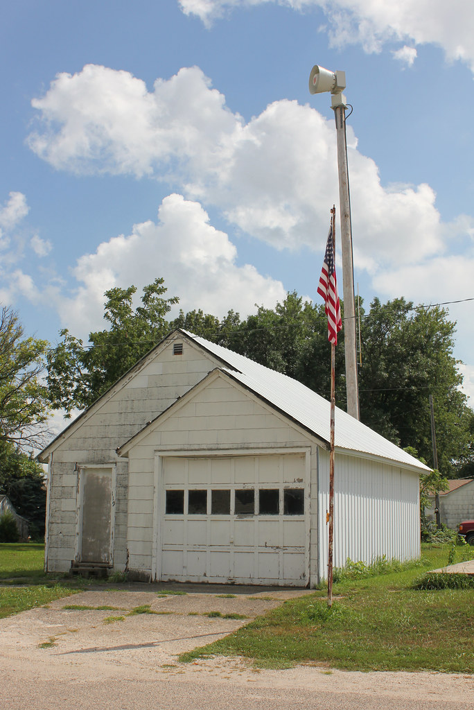
Fire Station (Former) - Jolley, IA

United Community Methodist Church - Jolley, IA
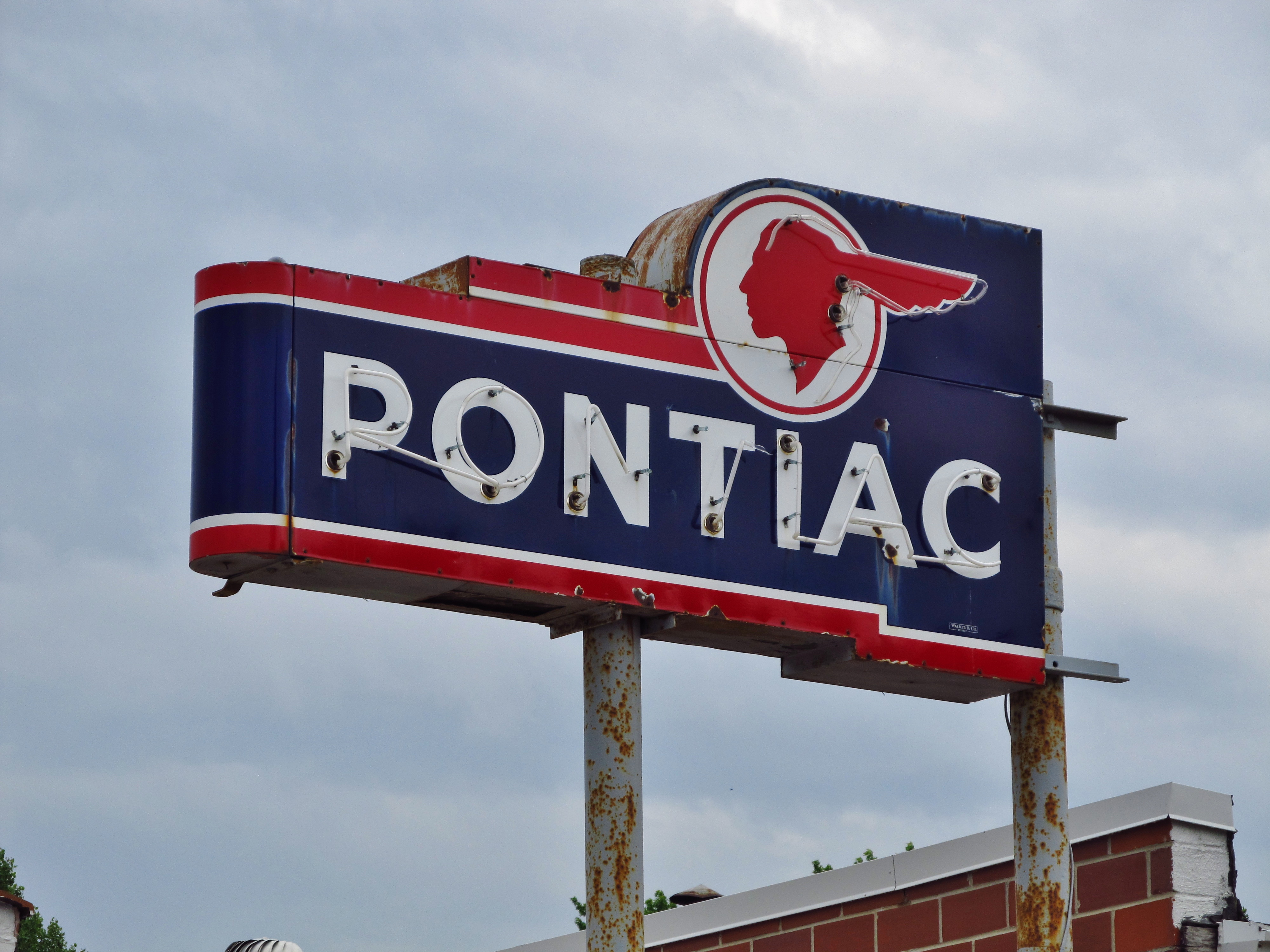
Gas Station - Manson, IA
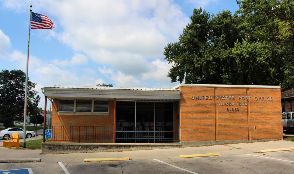
Post Office - Manson, IA
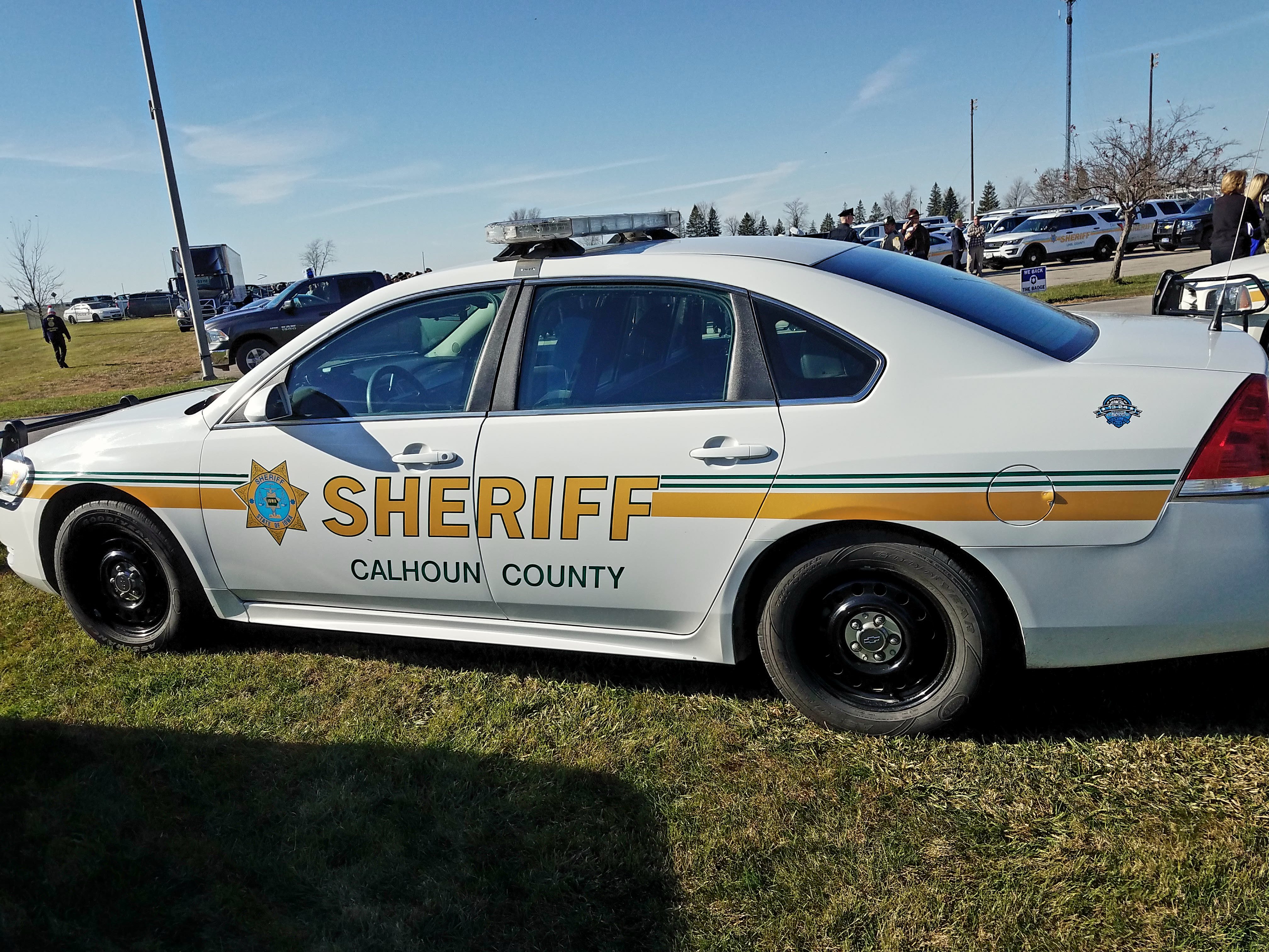
Calhoun County Sheriff Chevrolet Impala
Topographic Map of Main St, Pomeroy, IA, USA
Find elevation by address:

Places near Main St, Pomeroy, IA, USA:
Butler
S Cayuga St, Pomeroy, IA, USA
Pomeroy
Rockwell City Mobile Meals
Rockwell City
Jennings Ave, Rockwell City, IA, USA
Calhoun County
Lake Creek
N Main St, Fonda, IA, USA
Fonda
917 8th Ave
Cedar
Country Store
Manson
10th Ave, Manson, IA, USA
Palmer
Main St, Palmer, IA, USA
1509 Main St
Cedar
Logan
Recent Searches:
- Elevation of Jalan Senandin, Lutong, Miri, Sarawak, Malaysia
- Elevation of Bilohirs'k
- Elevation of 30 Oak Lawn Dr, Barkhamsted, CT, USA
- Elevation of Luther Road, Luther Rd, Auburn, CA, USA
- Elevation of Unnamed Road, Respublika Severnaya Osetiya — Alaniya, Russia
- Elevation of Verkhny Fiagdon, North Ossetia–Alania Republic, Russia
- Elevation of F. Viola Hiway, San Rafael, Bulacan, Philippines
- Elevation of Herbage Dr, Gulfport, MS, USA
- Elevation of Lilac Cir, Haldimand, ON N3W 2G9, Canada
- Elevation of Harrod Branch Road, Harrod Branch Rd, Kentucky, USA