Elevation of Mill Creek, Washington, USA
Location: Bellingham >
Longitude: -120.82989
Latitude: 48.7272089
Elevation: 848m / 2782feet
Barometric Pressure: 92KPa
Elevation Map:
Satellite Map:
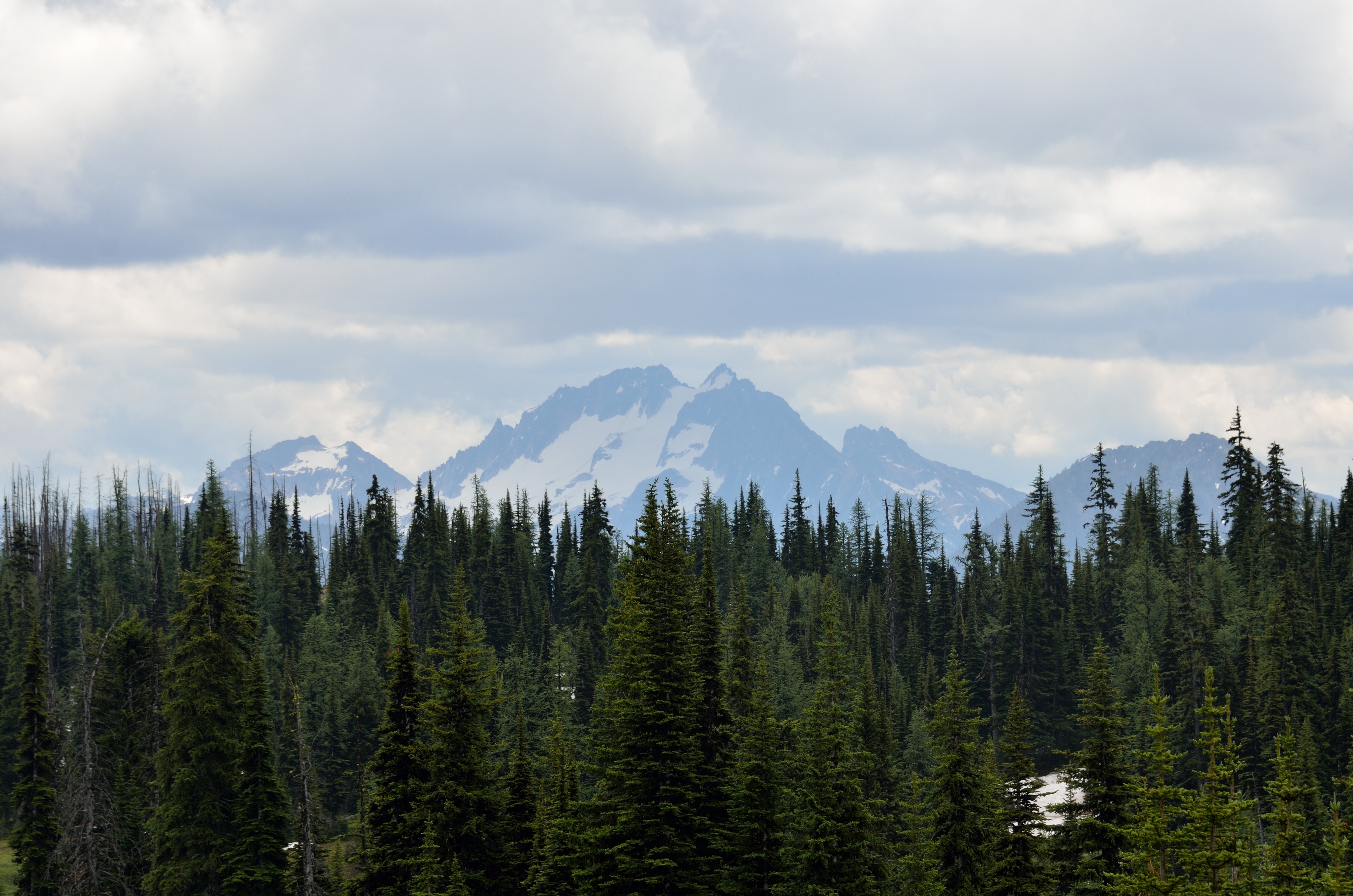
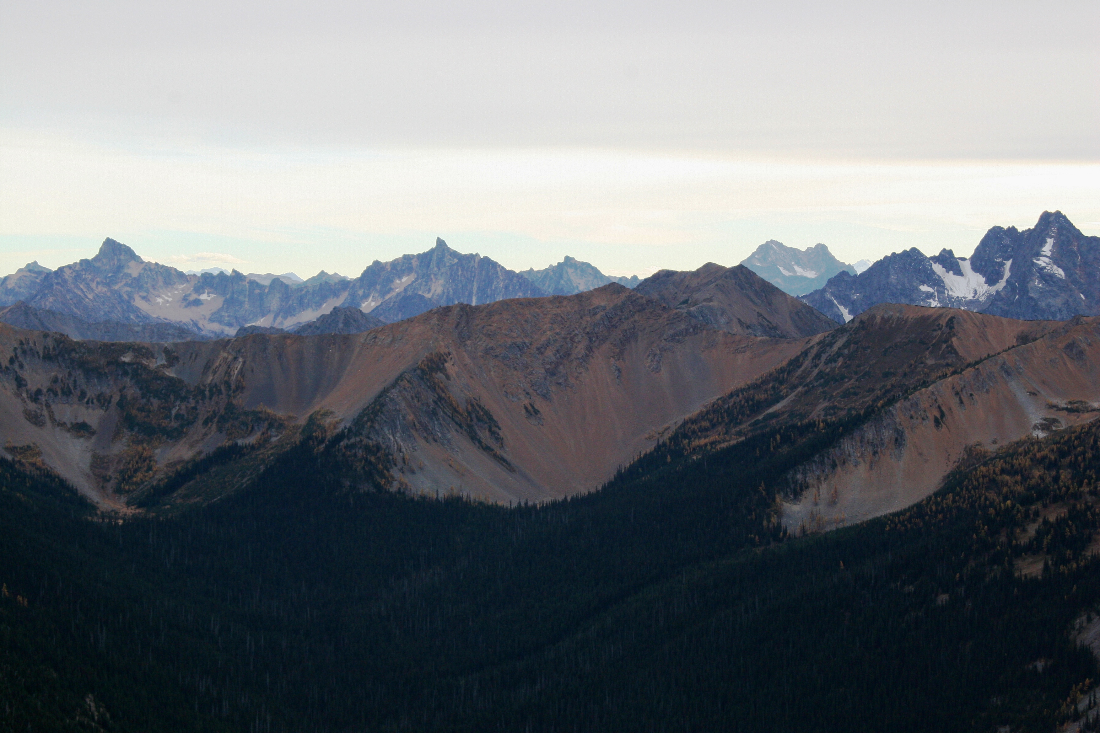
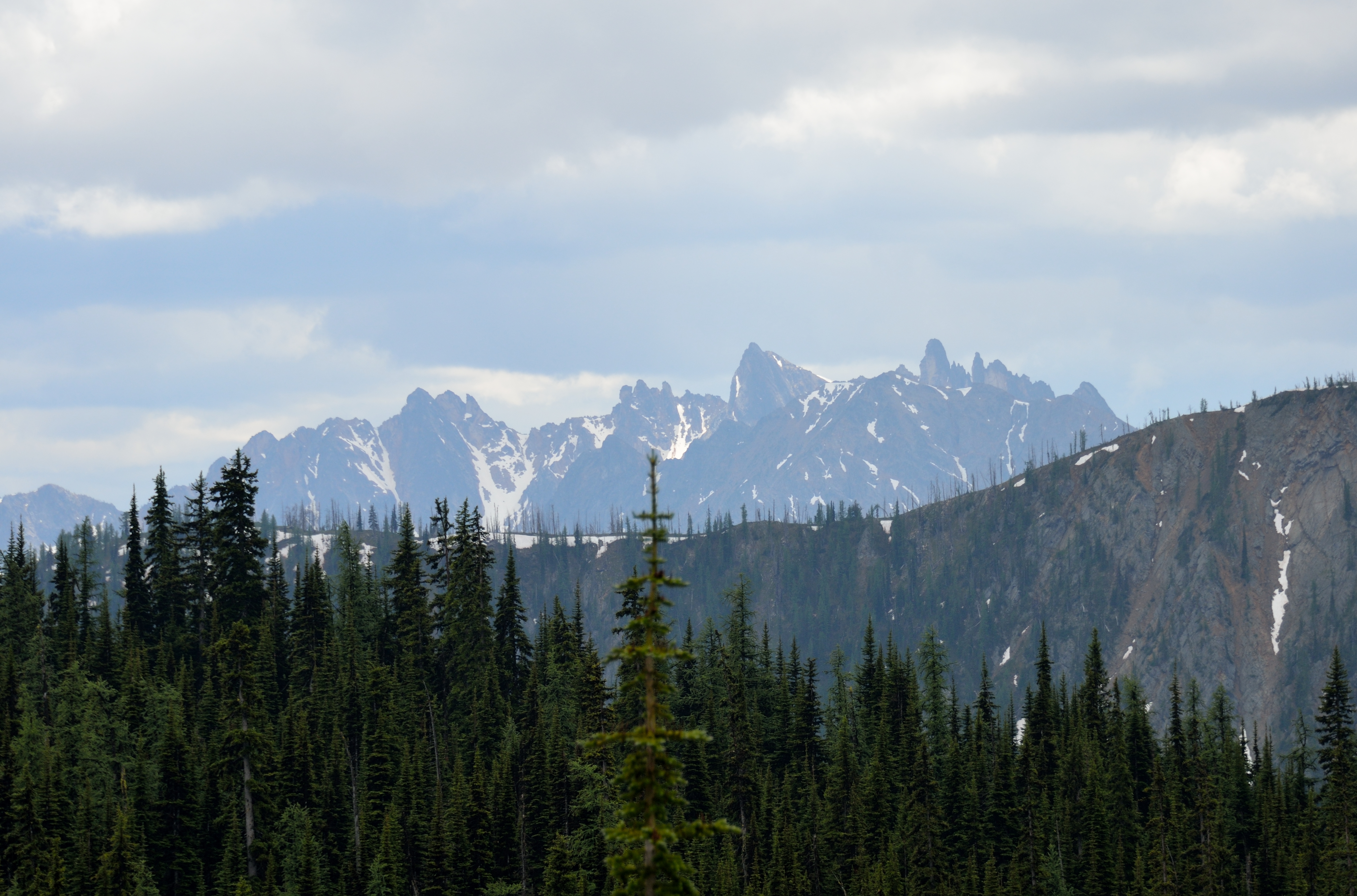
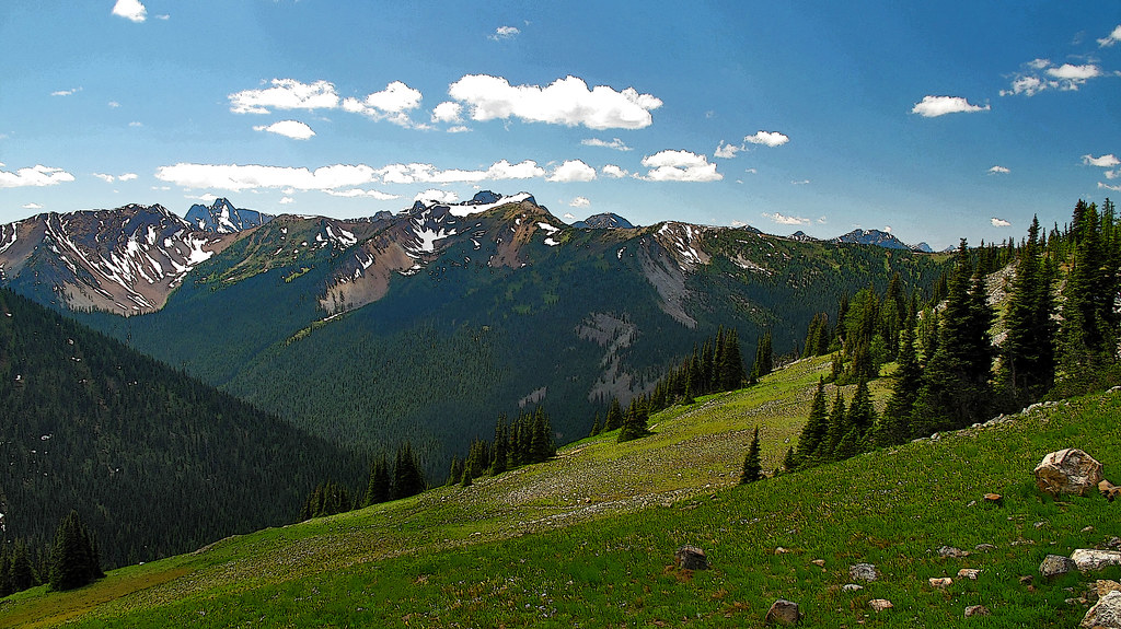
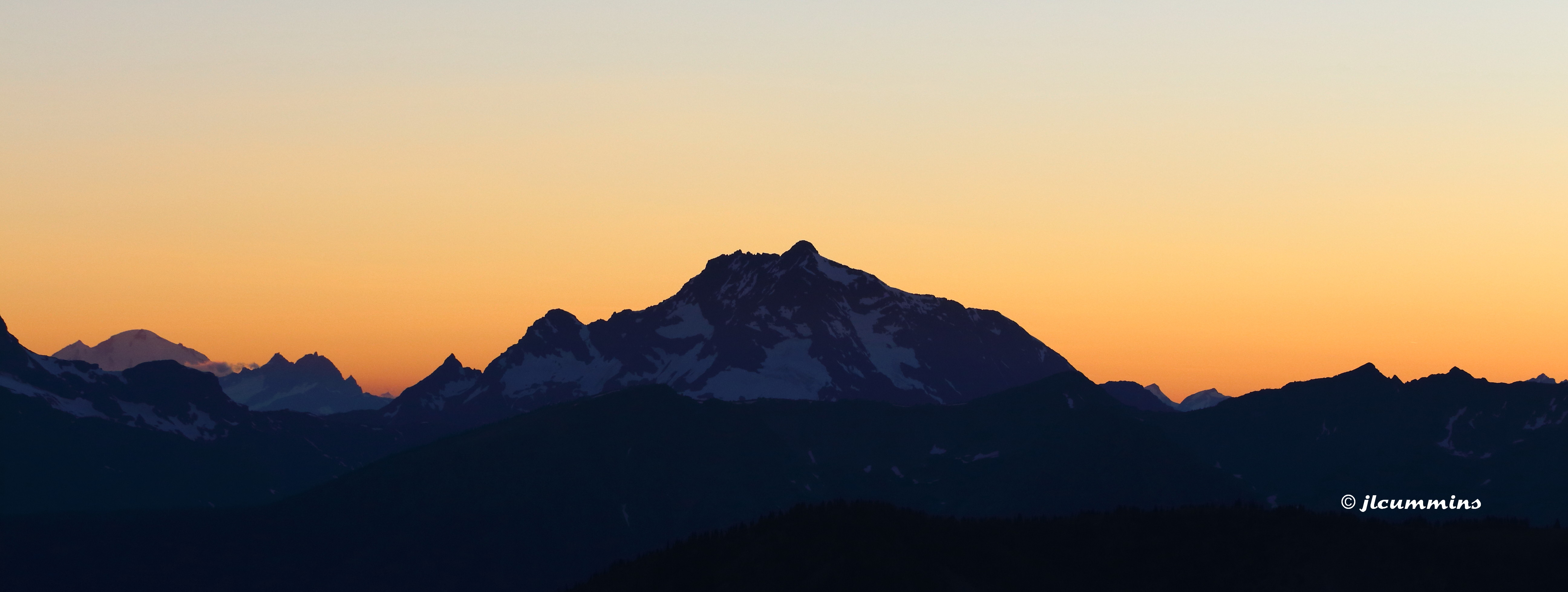
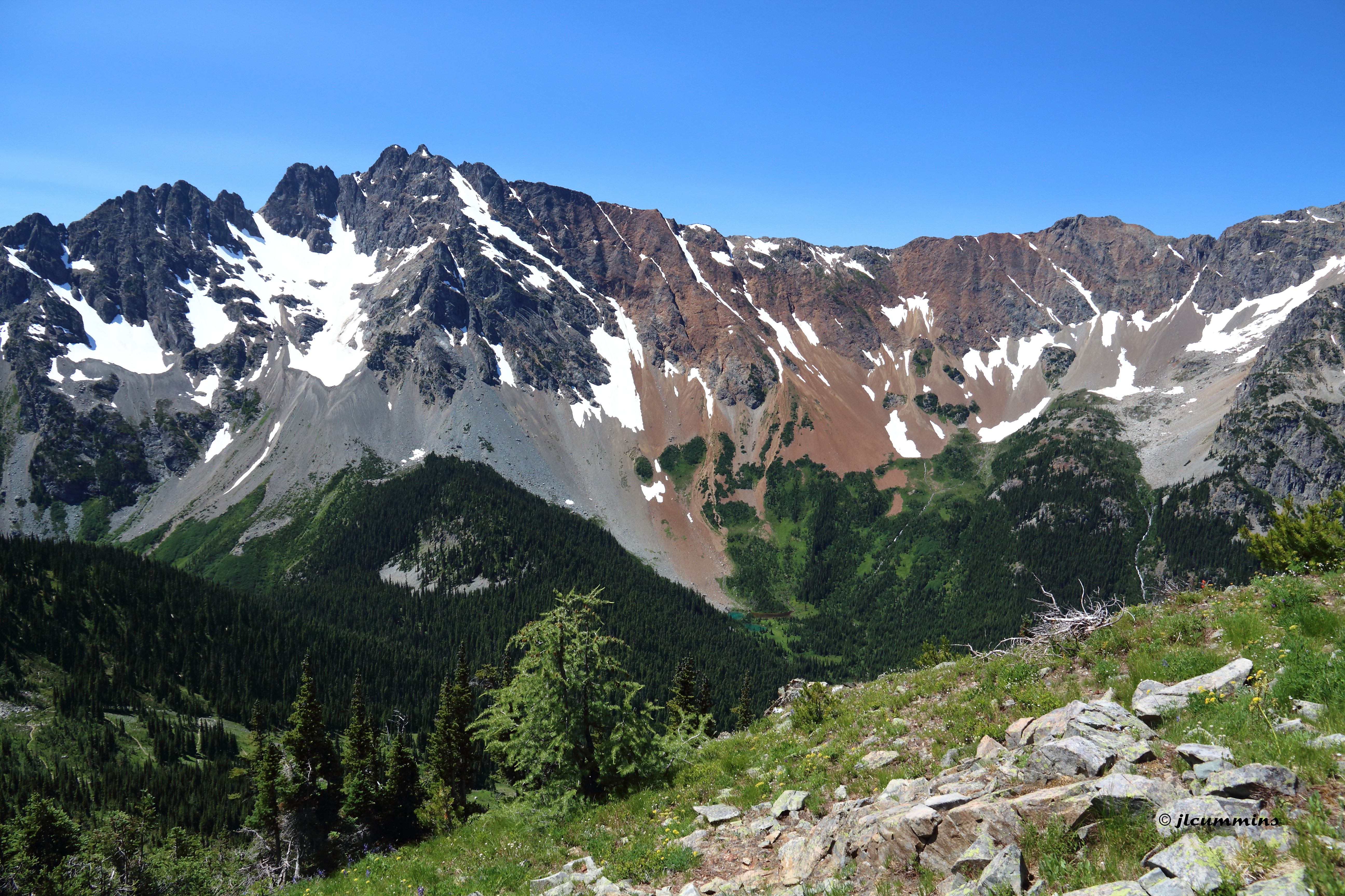
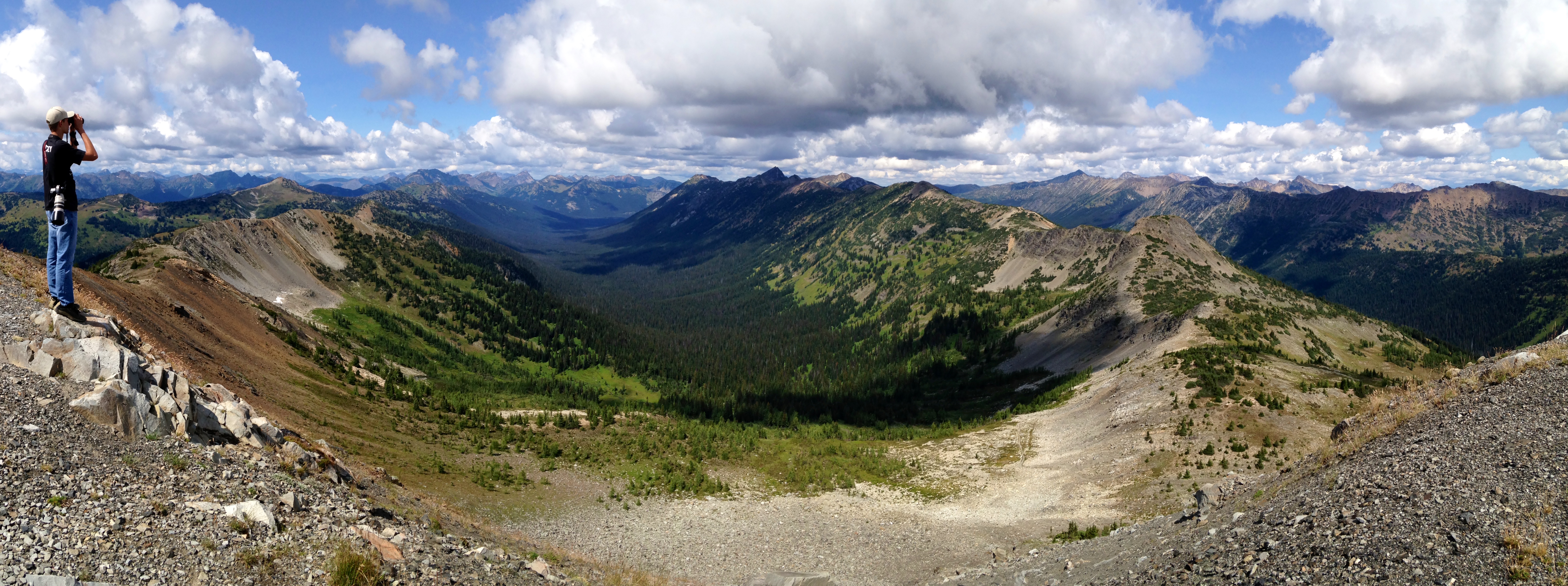
Related Photos:
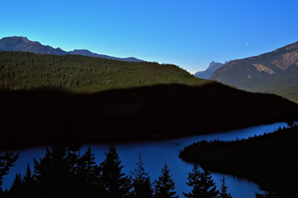
Ross Lake Lunar Twilight Blues
Cascadia Dreaming 2009
View from PCT northbound from Harts Pass

View for my tent. Full moon.
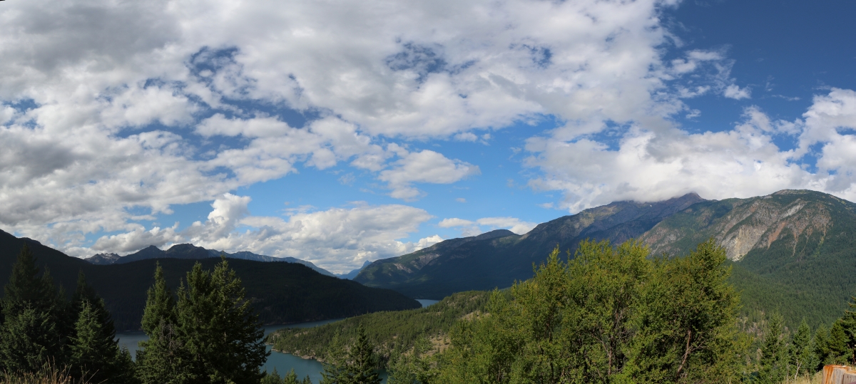
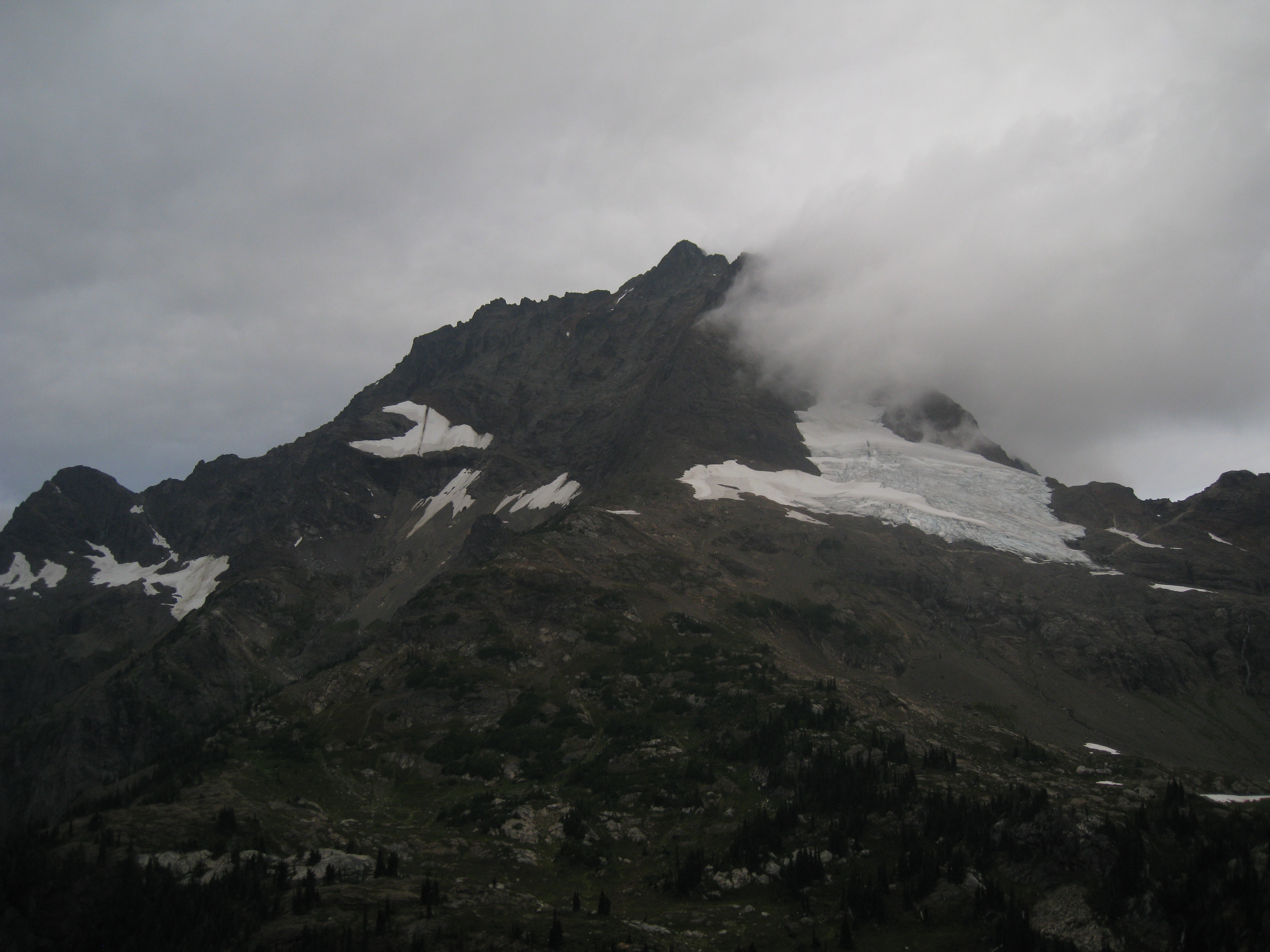
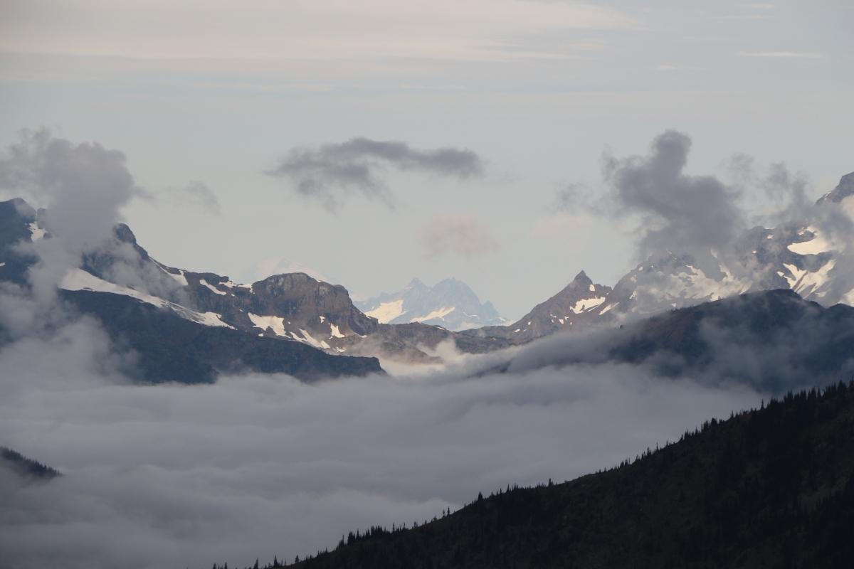
4244 Panorama view over Ross Lake from Highway 20, with Jack Mountain in the clouds, right
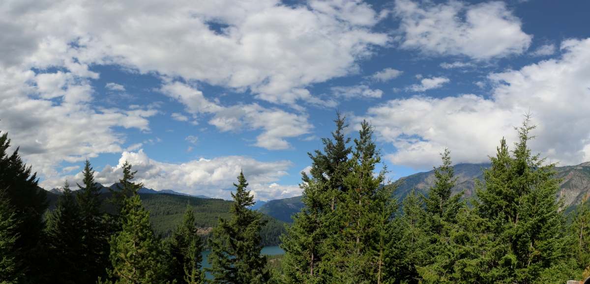
4232 Panorama view over Ross Lake from Highway 20, with Hozomeen Mountain in the far distance, center
View from the end of our route up Slate Peak
Tower, Golden Horn & Azurite Mountain

slide2-23
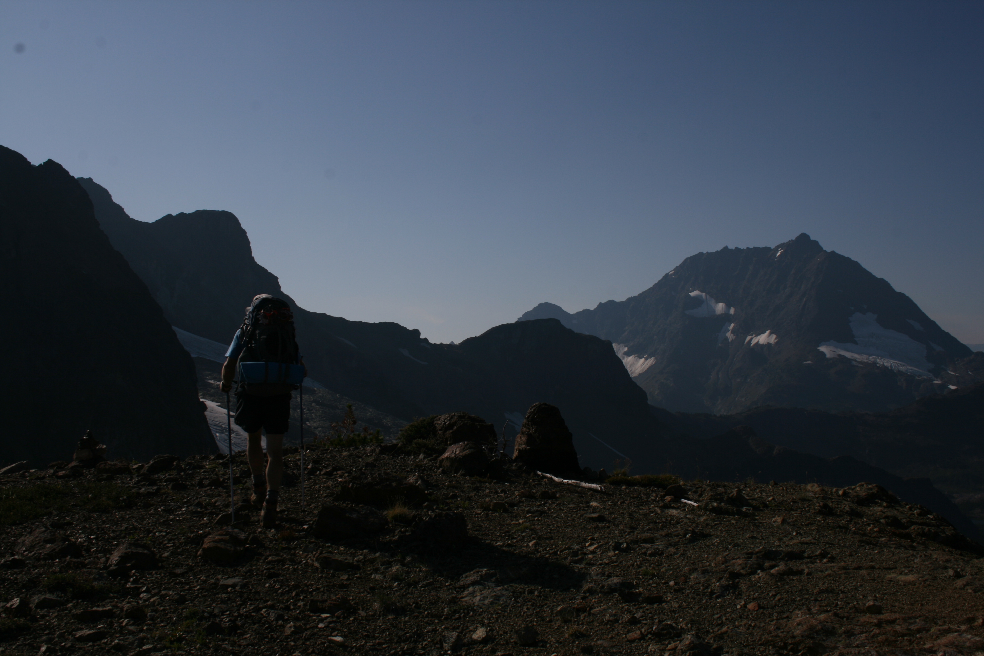
View from the end of our route up Slate Peak
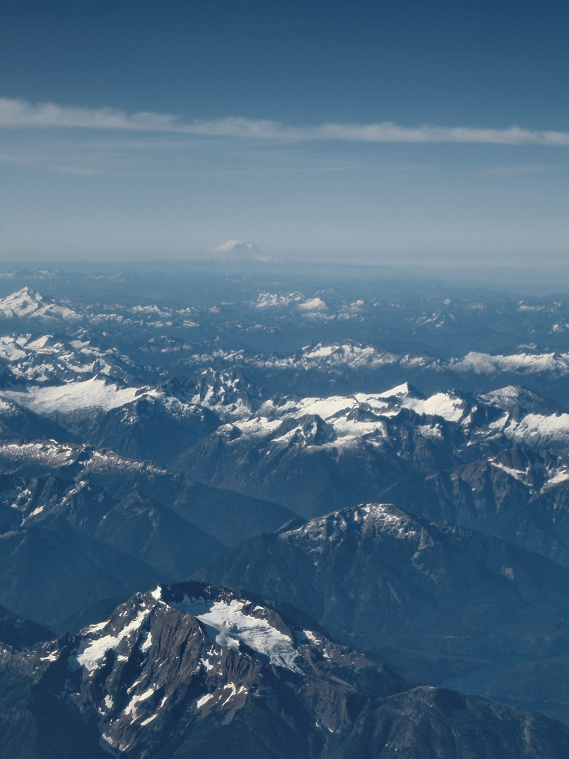
Mount Rainier, Washington State
Lee and our first views of Jack
2548 Panorama view south from the PCT north of Slate Peak toward Harts Pass, Azurite Peak, and Ballard Mtn
View from the end of our route up Slate Peak
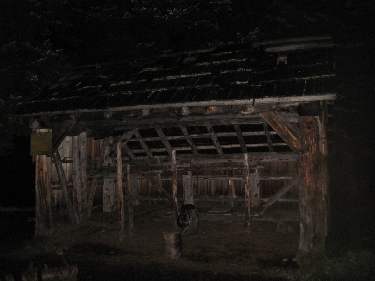
3968 Night view of Devils Park Shelter on the Jakita Ridge Trail
Our first views of Jack on day 2
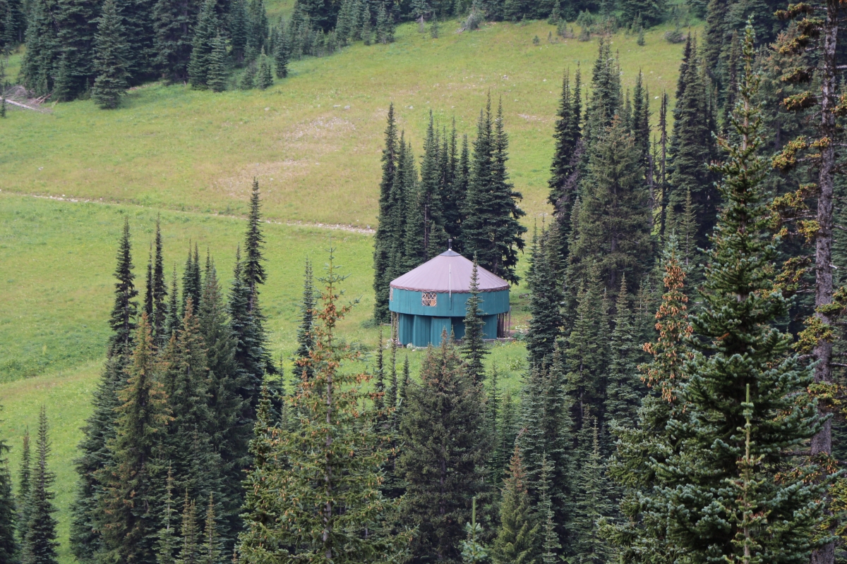
2657 Zoomed-in view of the yurt below Tamarack Peak from the PCT south of Windy Pass
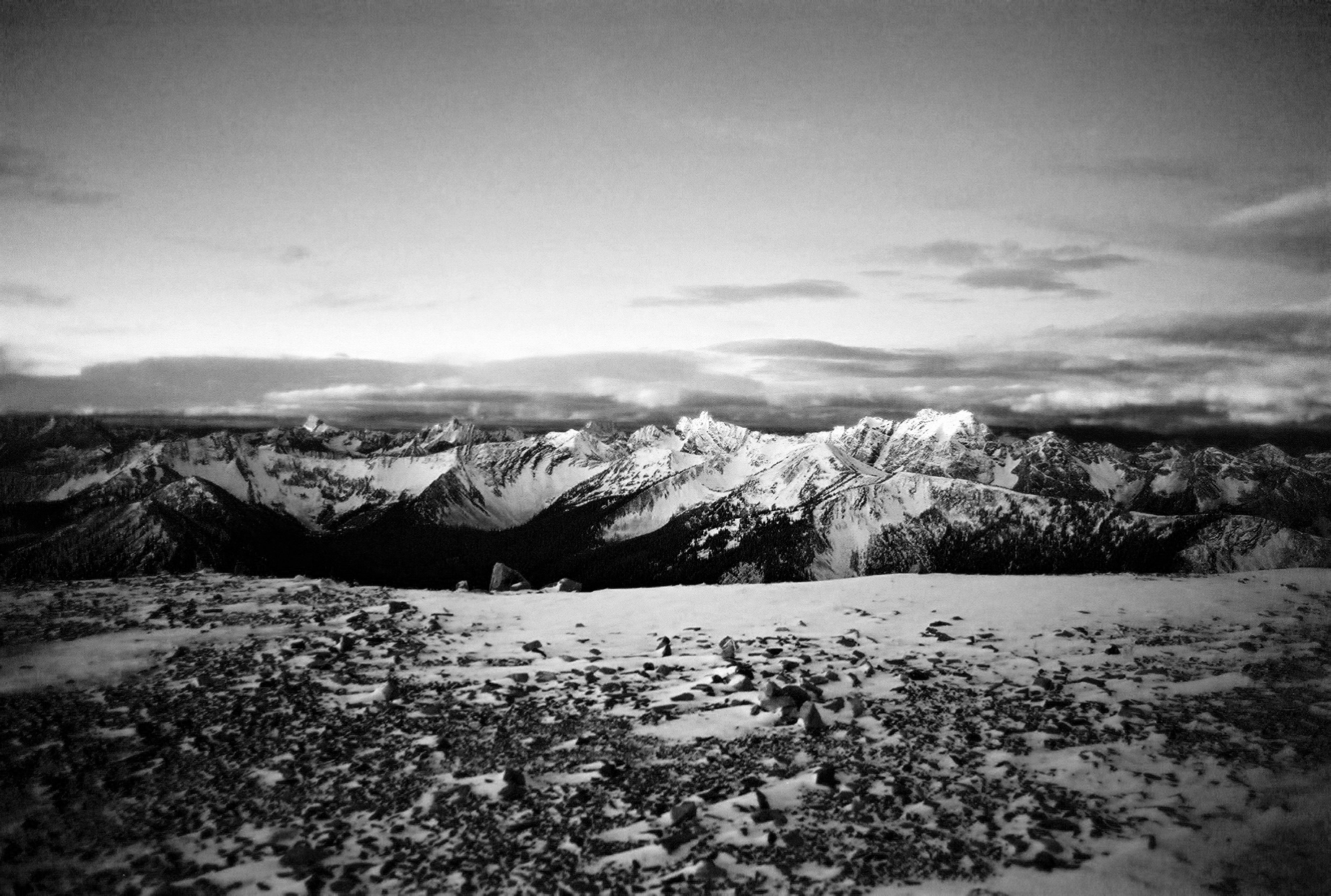
Black,White and Cold.
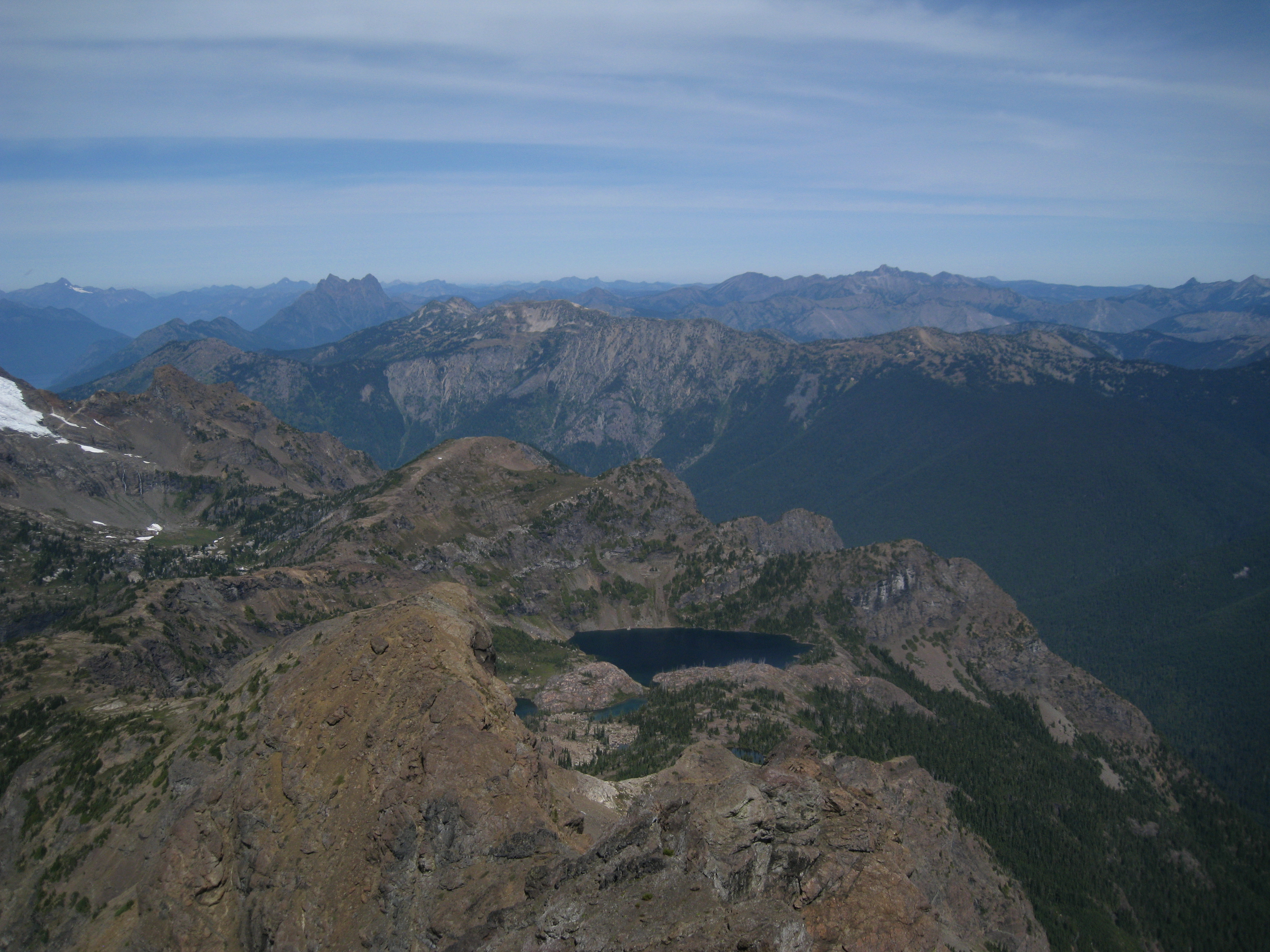
3848 Zoomed-in view of Lake 5644 far below from the Jackita Ridge Trail near Devils Pass
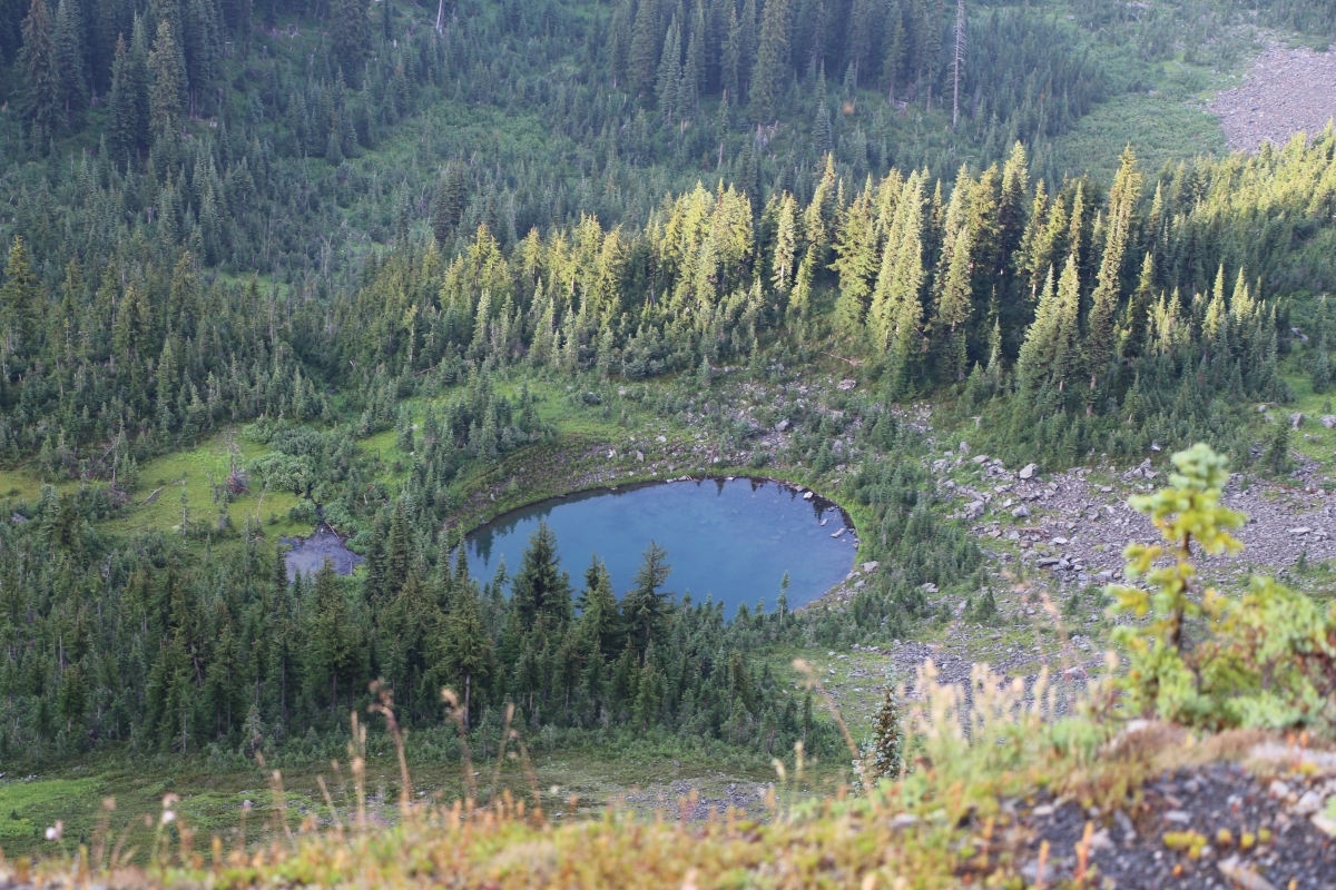
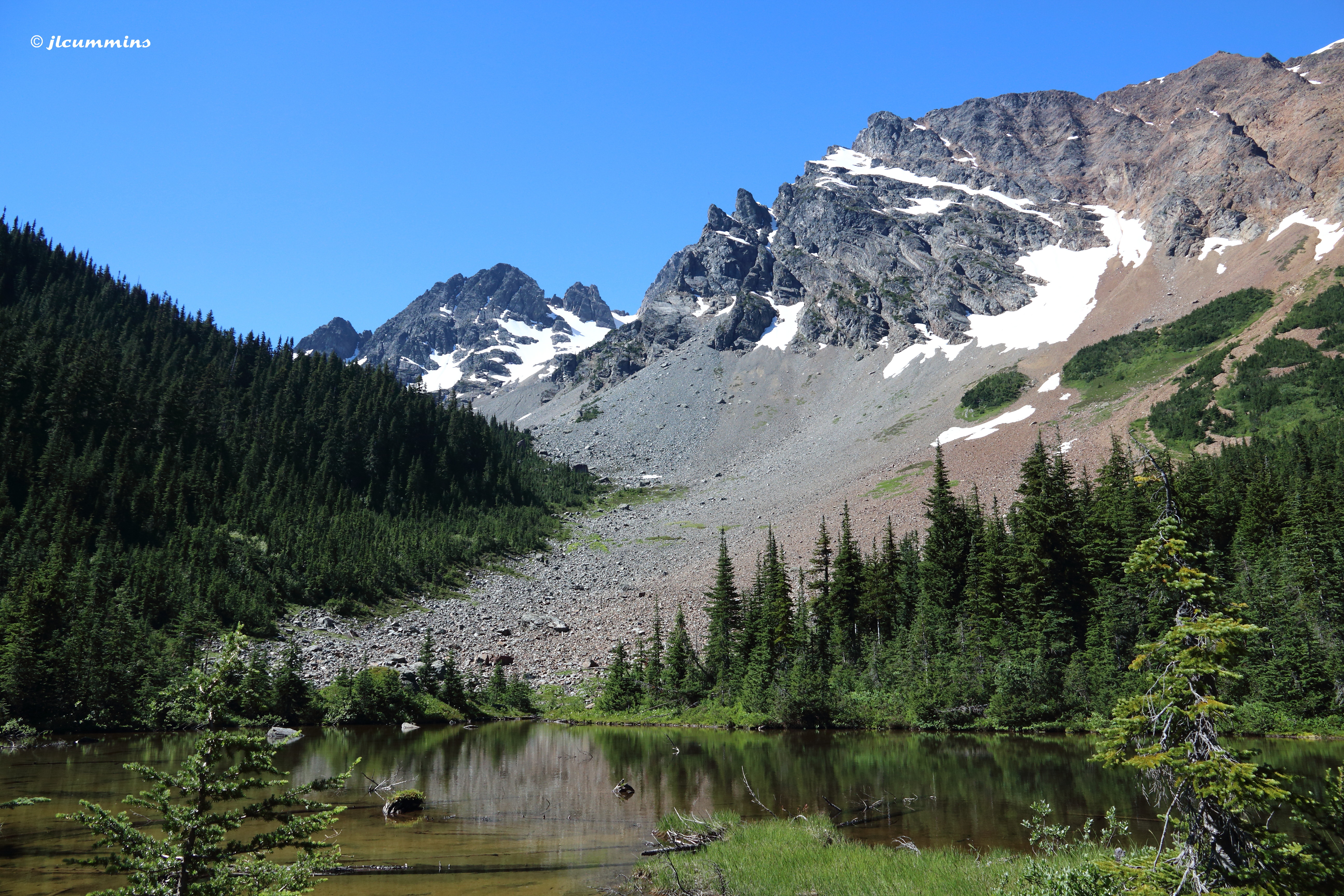
View of Jerry Lakes

2207 We caught up with Steve and Kelly who were resting and enjoying the view from the PCT south of Harts Pass

Boulder Creek Crossing

Tower Mountain
Ross Dam Overlook, Hwy 20 East to North Cascades National Park, WA

Canyon Creek
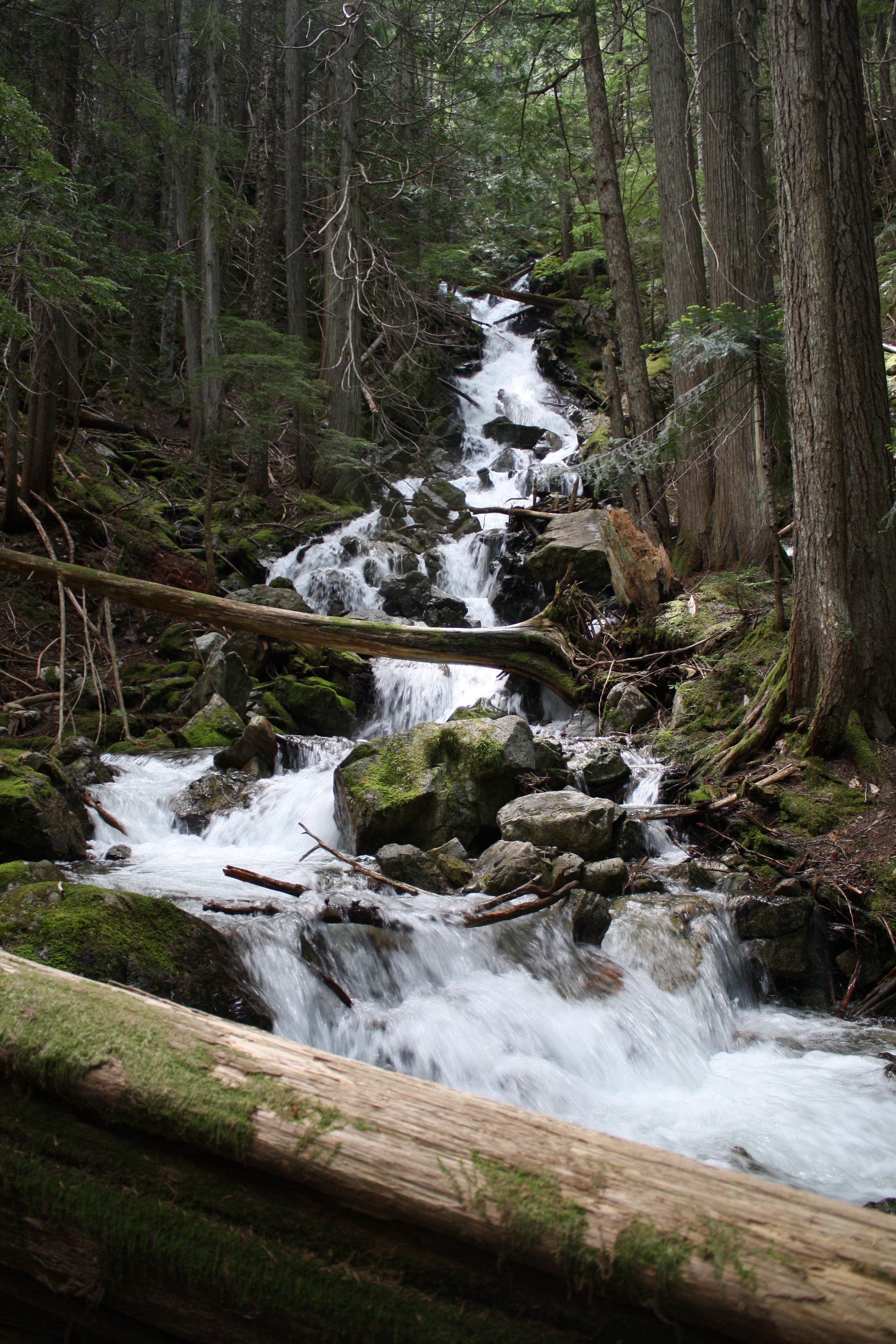
Day 3: Happy Creek Falls
Looking NW from Harts Pass
Looking west at sunset from Slate Peak Road end
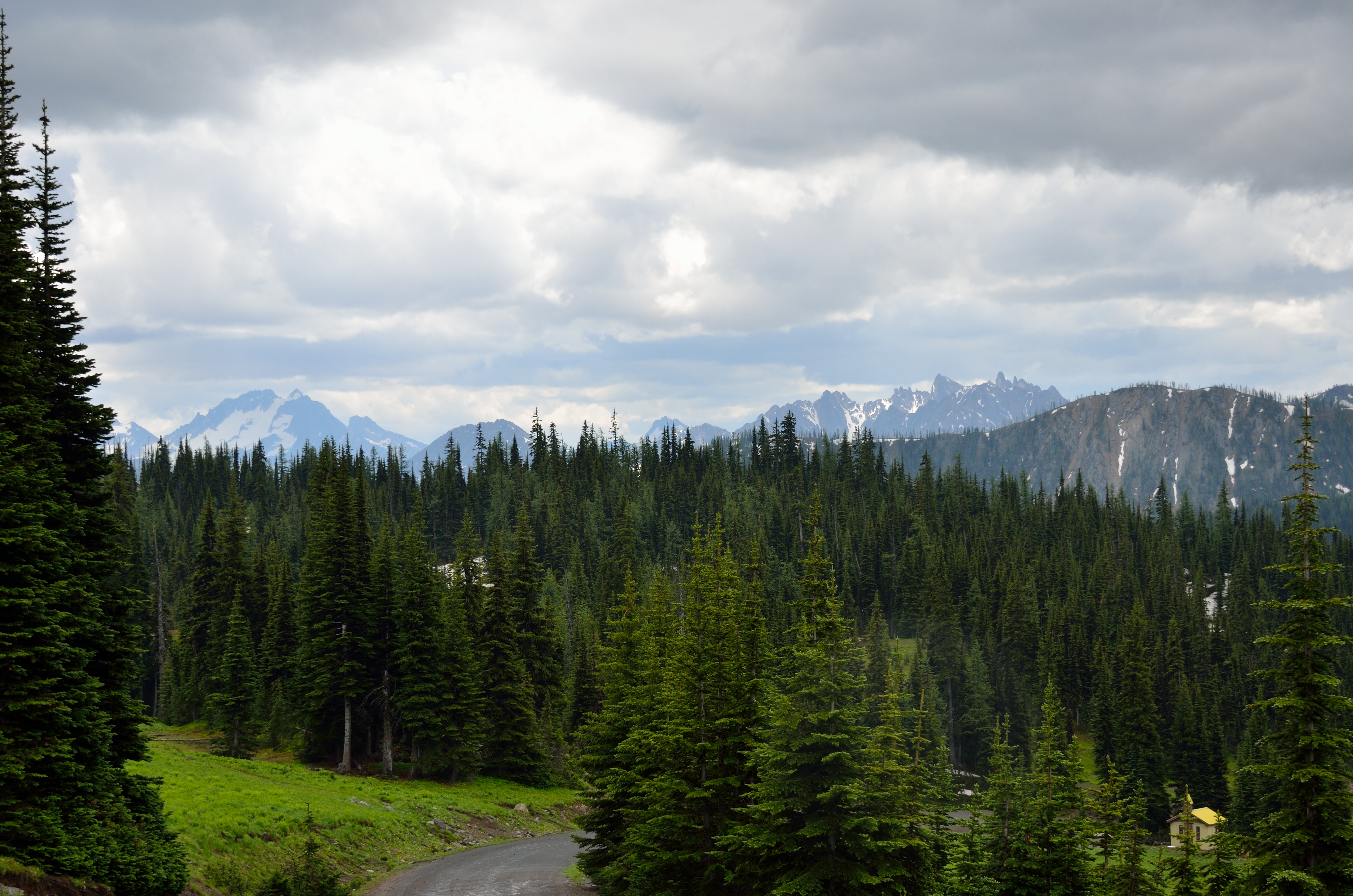
Azurite Peak from PCT near Grasshopper Pass
Birding on the edge
Alpine Lake, Glacier Pass area, PCT
2470 Mount Baker (10781 ft and 52 miles away) just visible left of center, Mount Terror center, from the PCT
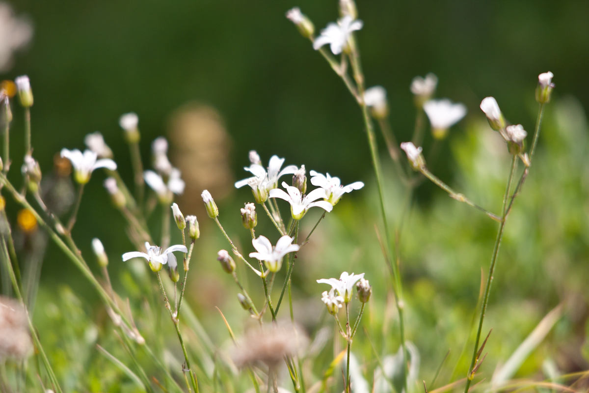
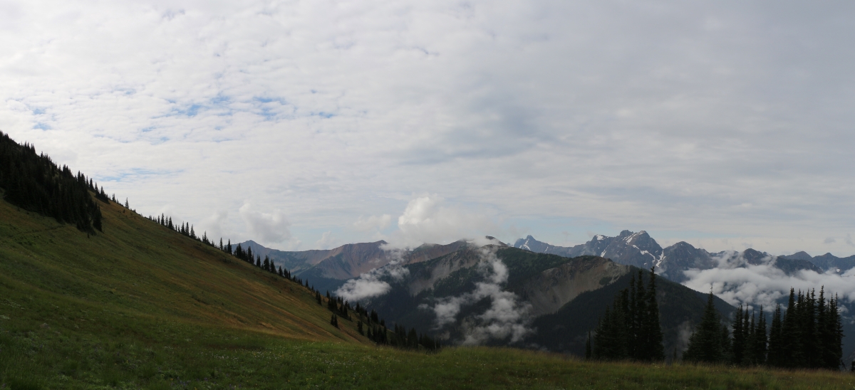
Harts Pass wildflowers

slide2-18
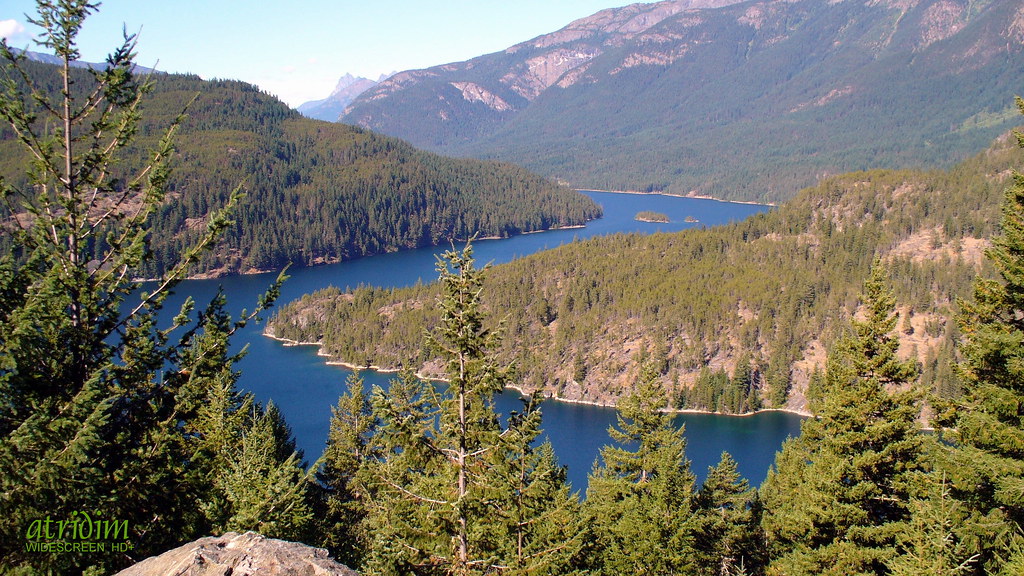
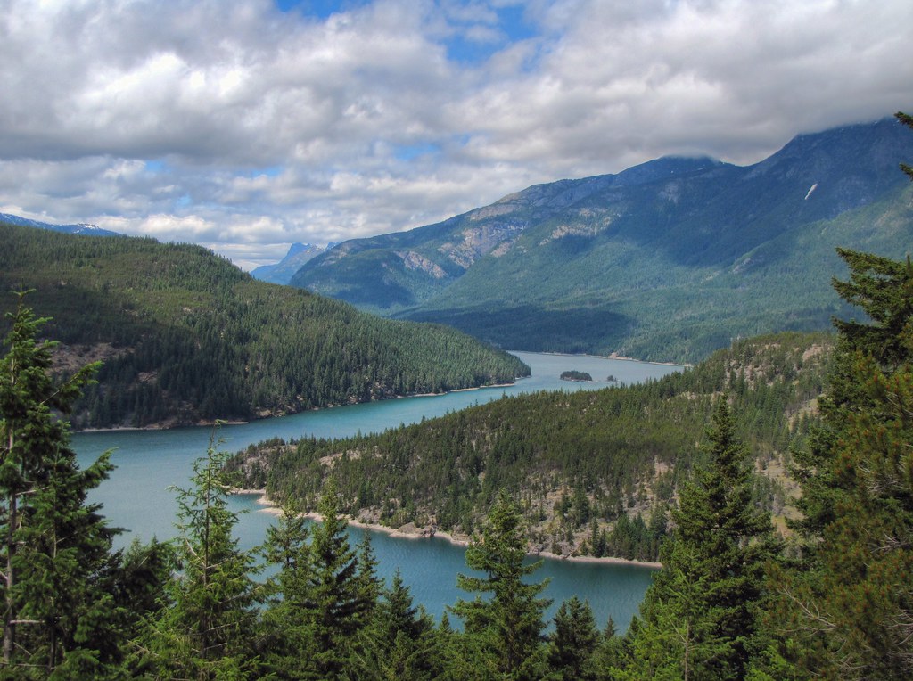
Ross Lake, North Cascades National Park, Washington

Cascade Crest Falls
That 'S' Curve thing
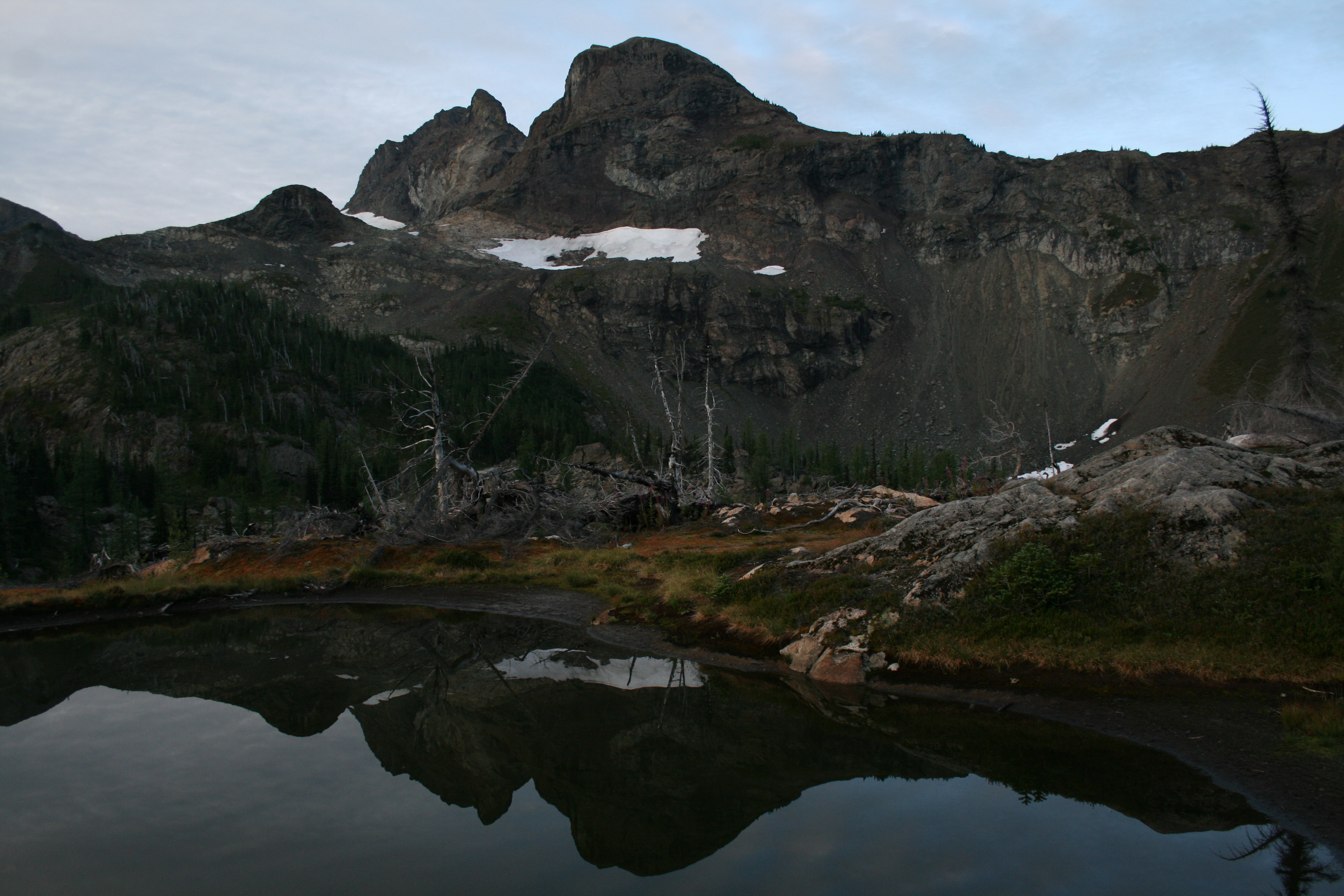
Crater Mtn morning reflection
Topographic Map of Mill Creek, Washington, USA
Find elevation by address:

Places near Mill Creek, Washington, USA:
Jackita Ridge South
Jackita Ridge
Crater Mountain East
Crater Mountain
Beebe Mountain
Gabriel Peak
Shull Mountain
Kitling Peak
Holliway Mountain
Easy Pass
Mesahchie Peak
Fisher Camp
Powder Mountain
Kimtah Peak
Mount Hardy
Cosho Peak
Holman Peak
Mount Arriva
Fisher Peak
Cosho Camp
Recent Searches:
- Elevation of Congressional Dr, Stevensville, MD, USA
- Elevation of Bellview Rd, McLean, VA, USA
- Elevation of Stage Island Rd, Chatham, MA, USA
- Elevation of Shibuya Scramble Crossing, 21 Udagawacho, Shibuya City, Tokyo -, Japan
- Elevation of Jadagoniai, Kaunas District Municipality, Lithuania
- Elevation of Pagonija rock, Kranto 7-oji g. 8"N, Kaunas, Lithuania
- Elevation of Co Rd 87, Jamestown, CO, USA
- Elevation of Tenjo, Cundinamarca, Colombia
- Elevation of Côte-des-Neiges, Montreal, QC H4A 3J6, Canada
- Elevation of Bobcat Dr, Helena, MT, USA