Elevation of Jackita Ridge, Washington, USA
Location: Bellingham >
Longitude: -120.8519444
Latitude: 48.7733333
Elevation: 2184m / 7165feet
Barometric Pressure: 0KPa
Related Photos:
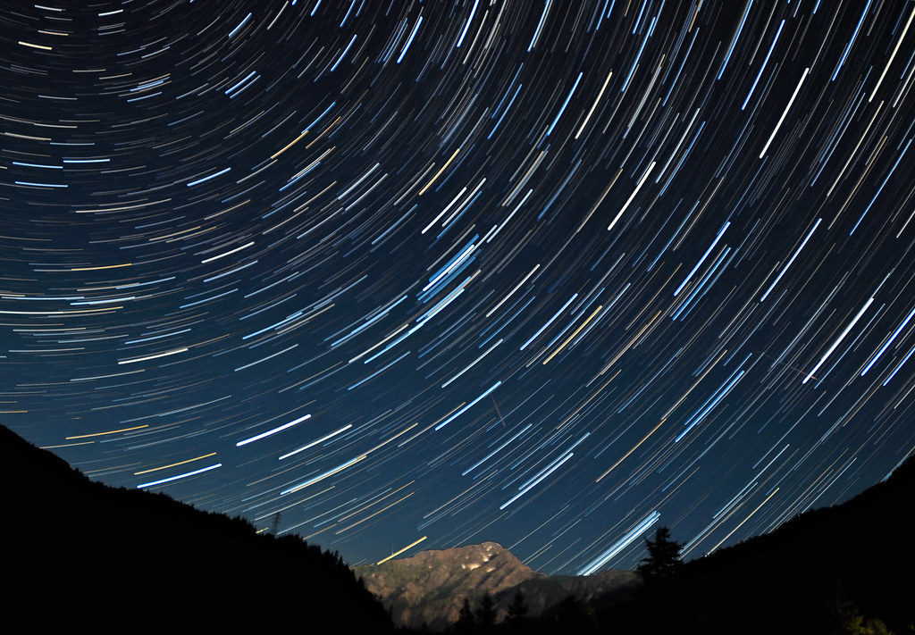
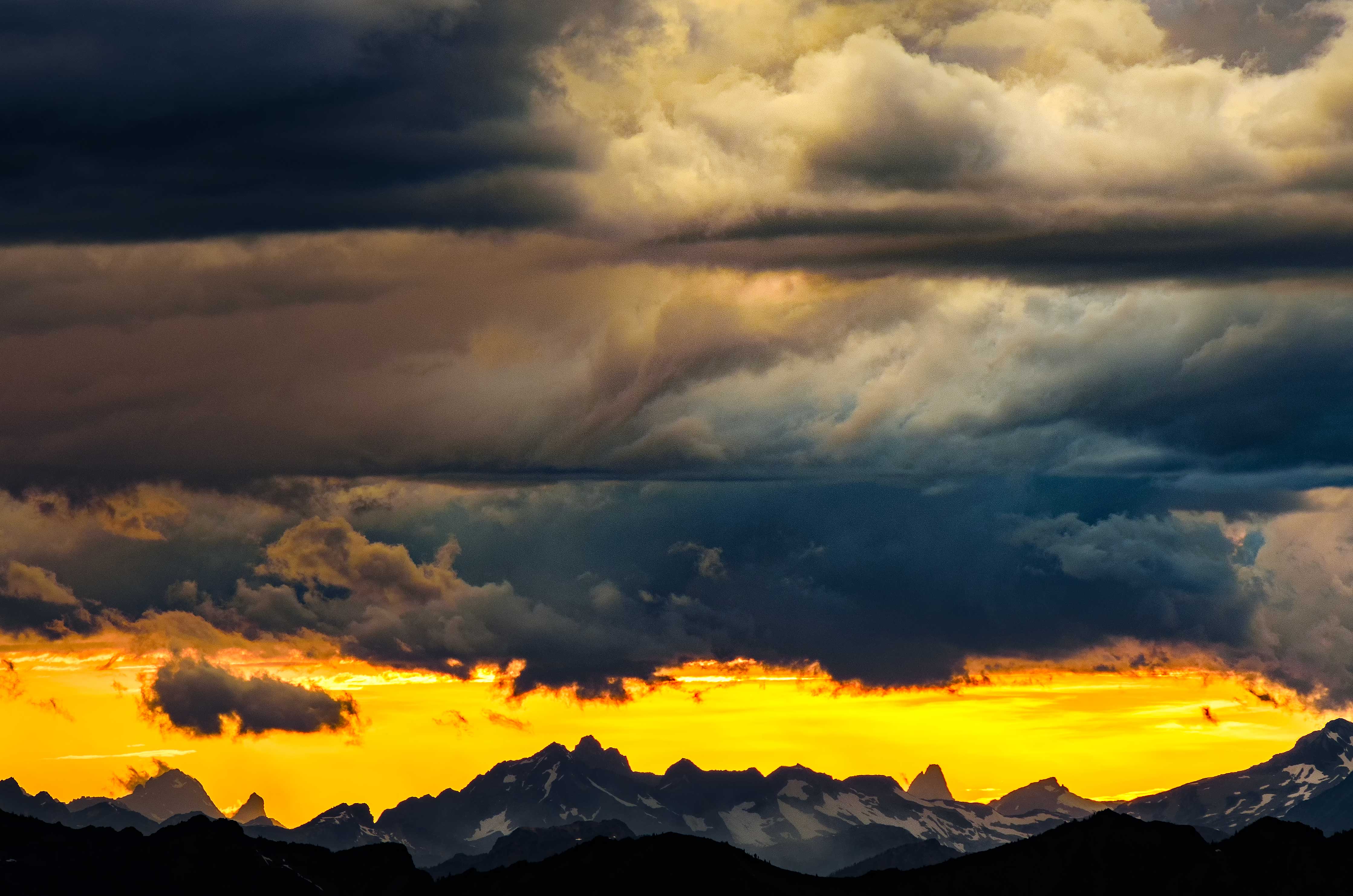
Trailing Above North Cascades National Park in a Meteor Shower

The Descent of Jupiter

Cascadia Dreaming 2009
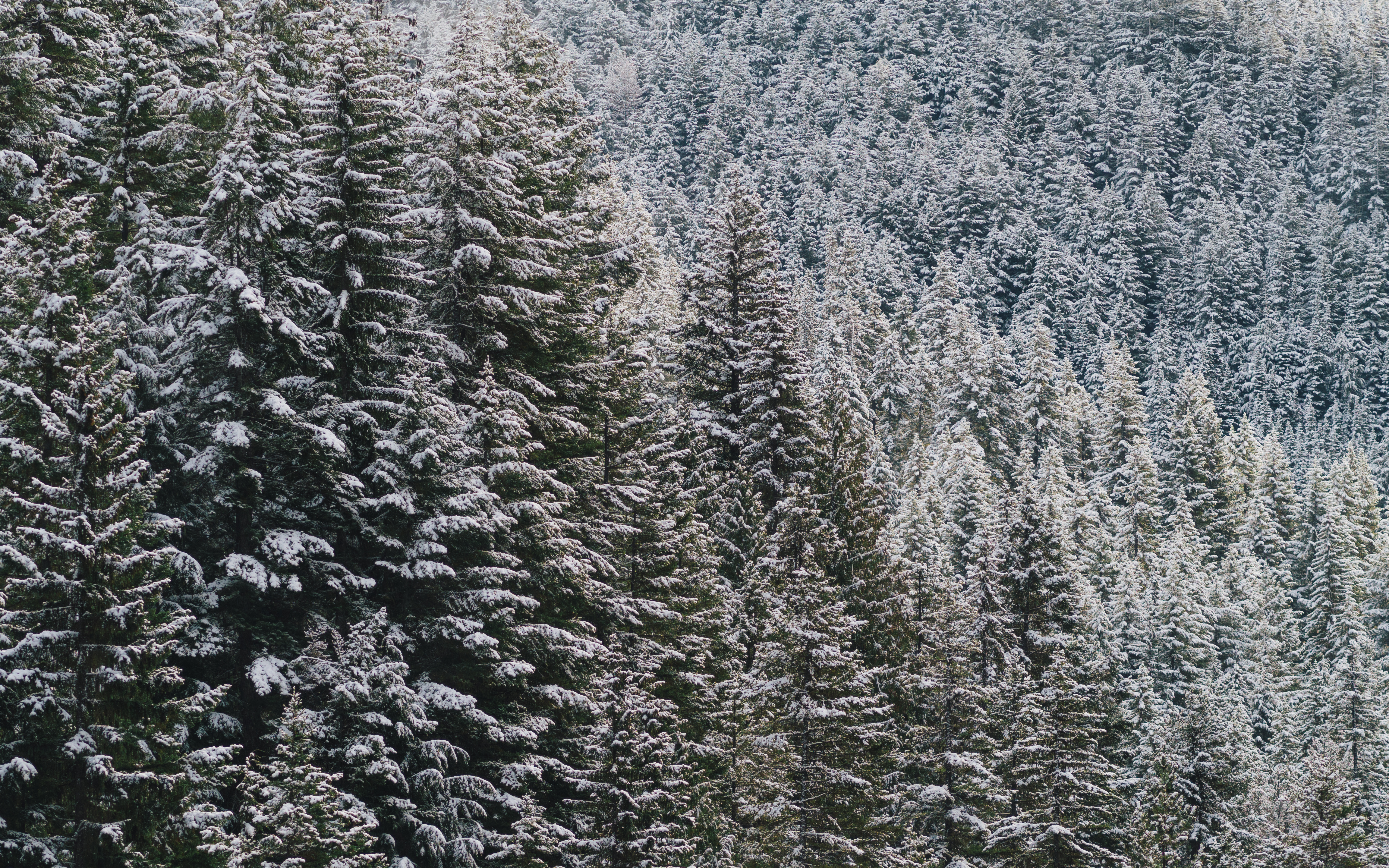
Where The Trees Have No Names (Part 2/2)
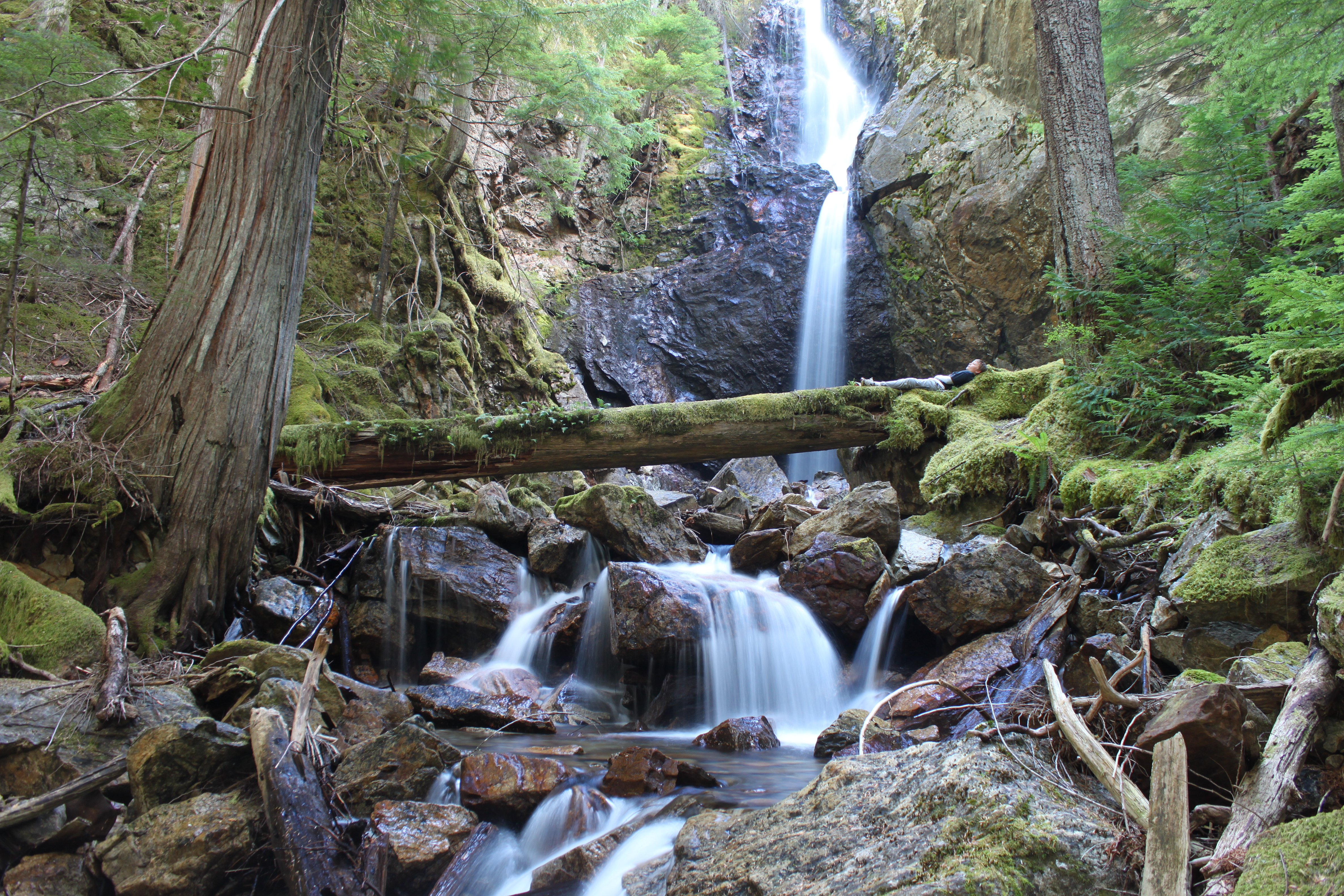
Nice Place For A Nap

1787 Panorama view from just north of Grasshopper Pass on the PCT toward Handcock Ridge in the mist
1803 Interesting color on this zoomed-in view of Peak 7023 on the Handcock Ridge from the PCT
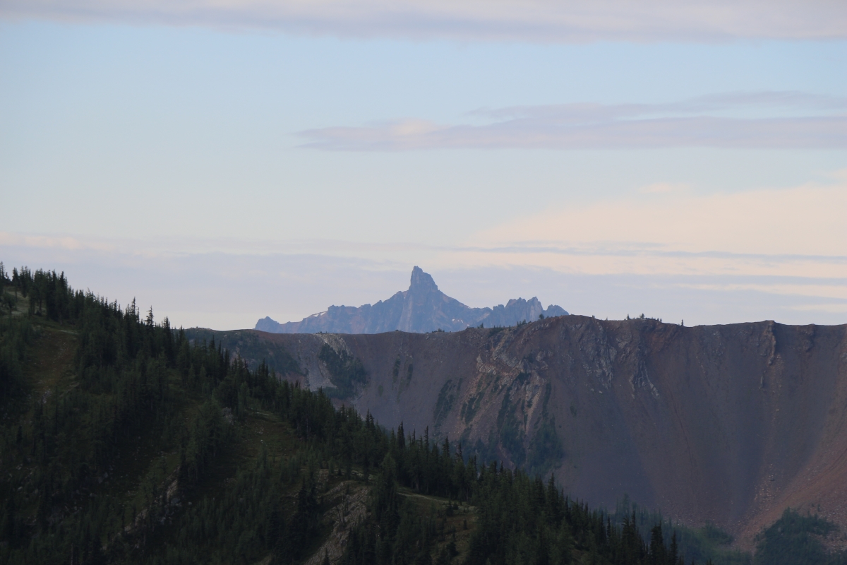
Tower, Golden Horn & Azurite Mountain
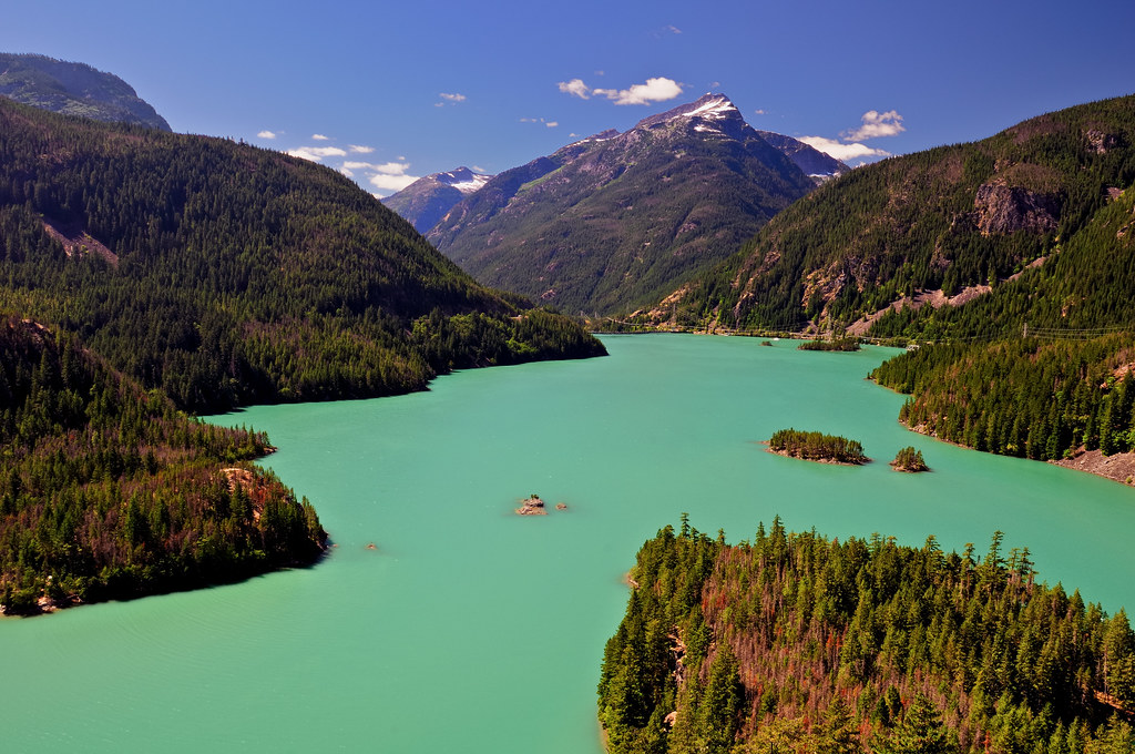
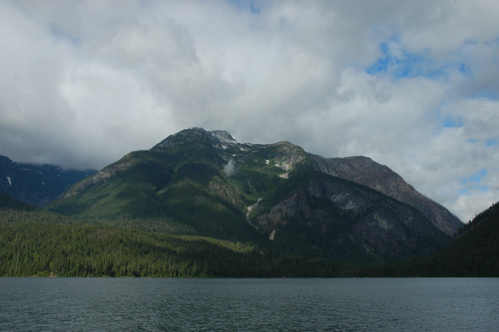
Glacial Runoff Waters of Diablo Lake
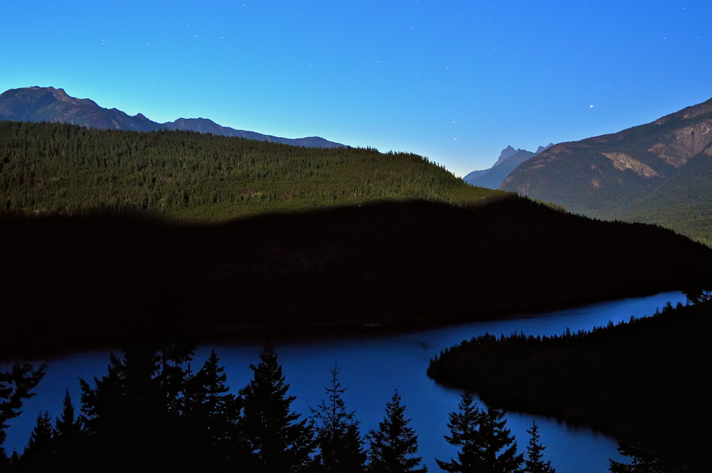
Ross Lake Lunar Twilight Blues
Svo Hljótt
View of the Gods

View for my tent. Full moon.
View from PCT northbound from Harts Pass
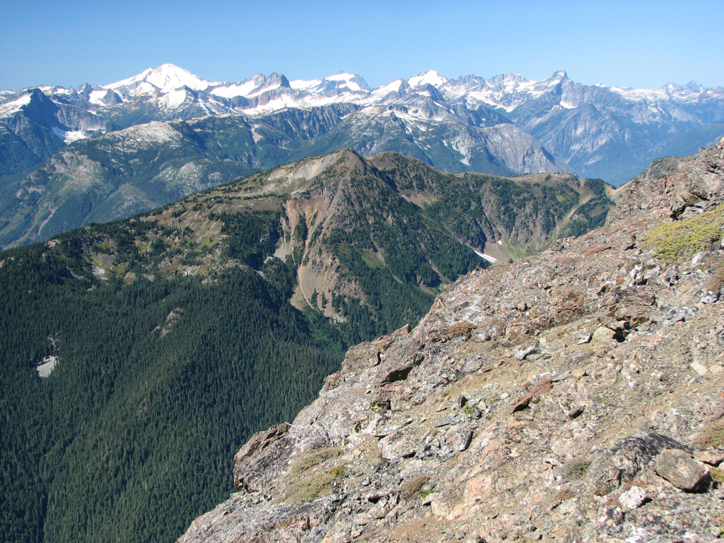
View to North Cascades National Park and Mount Baker from Crater Mountain
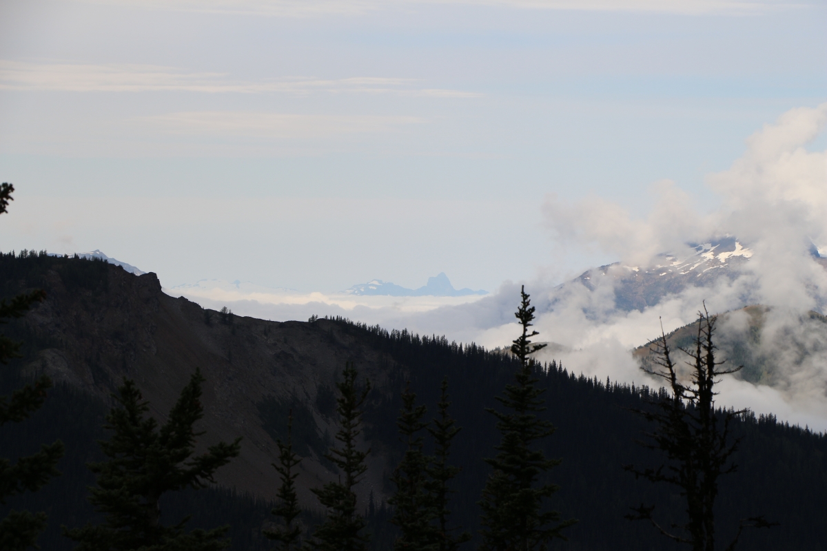
Partly Cloudy

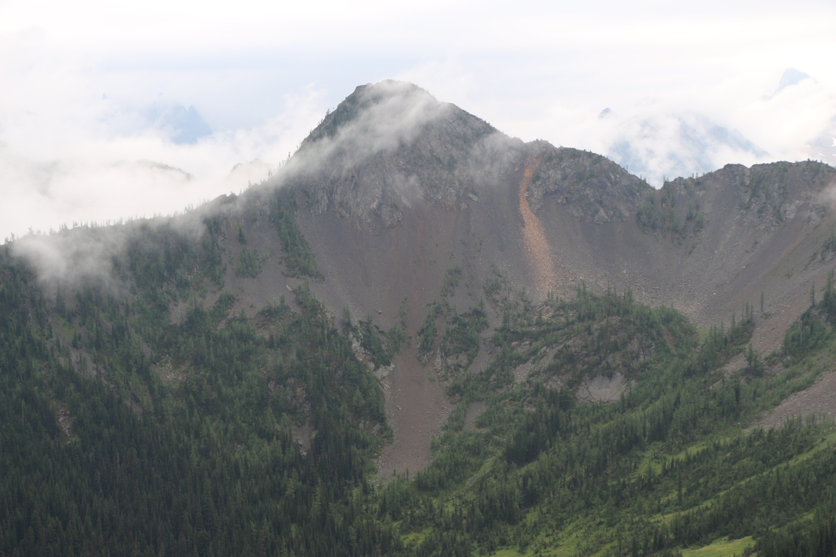
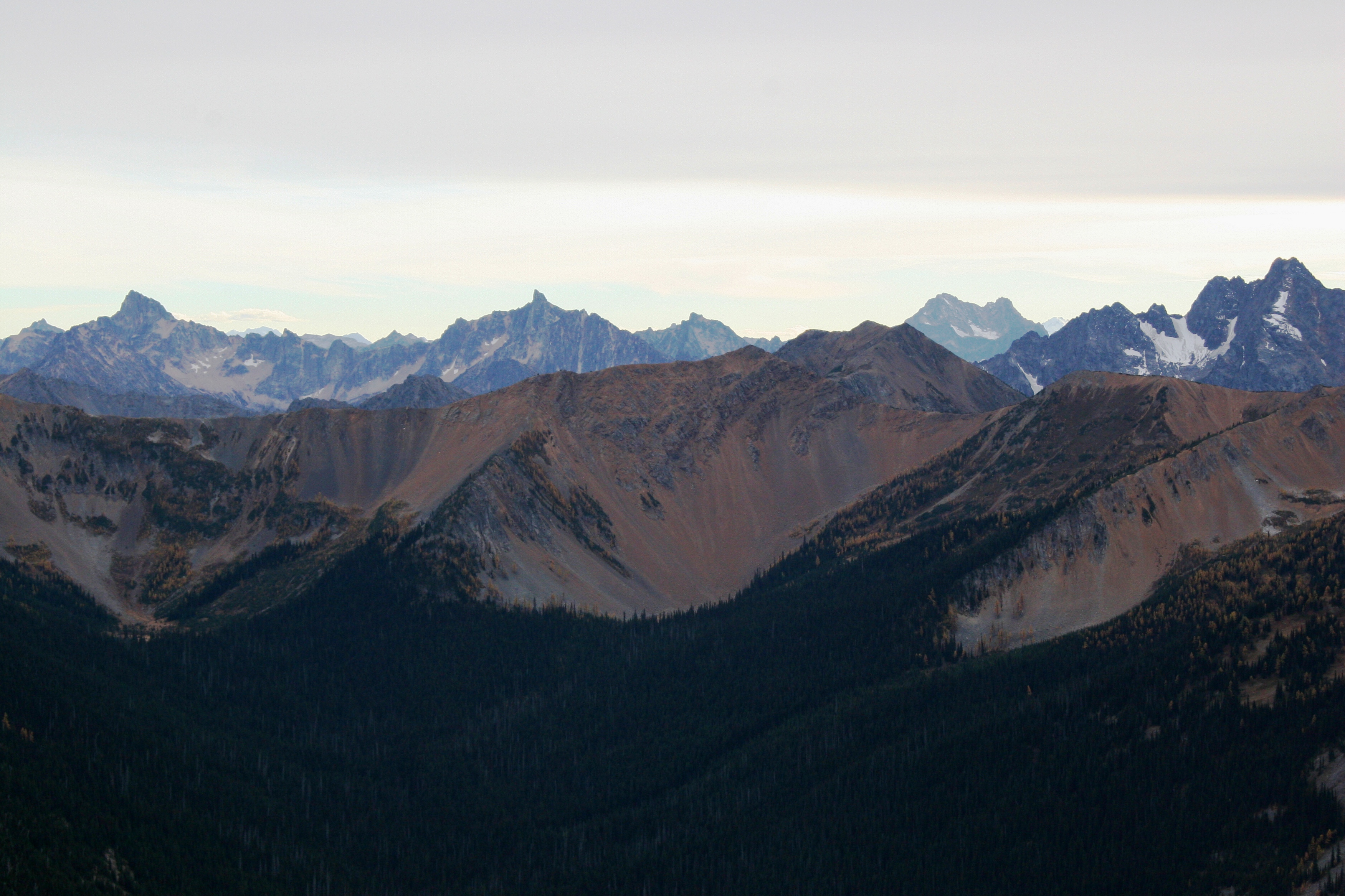
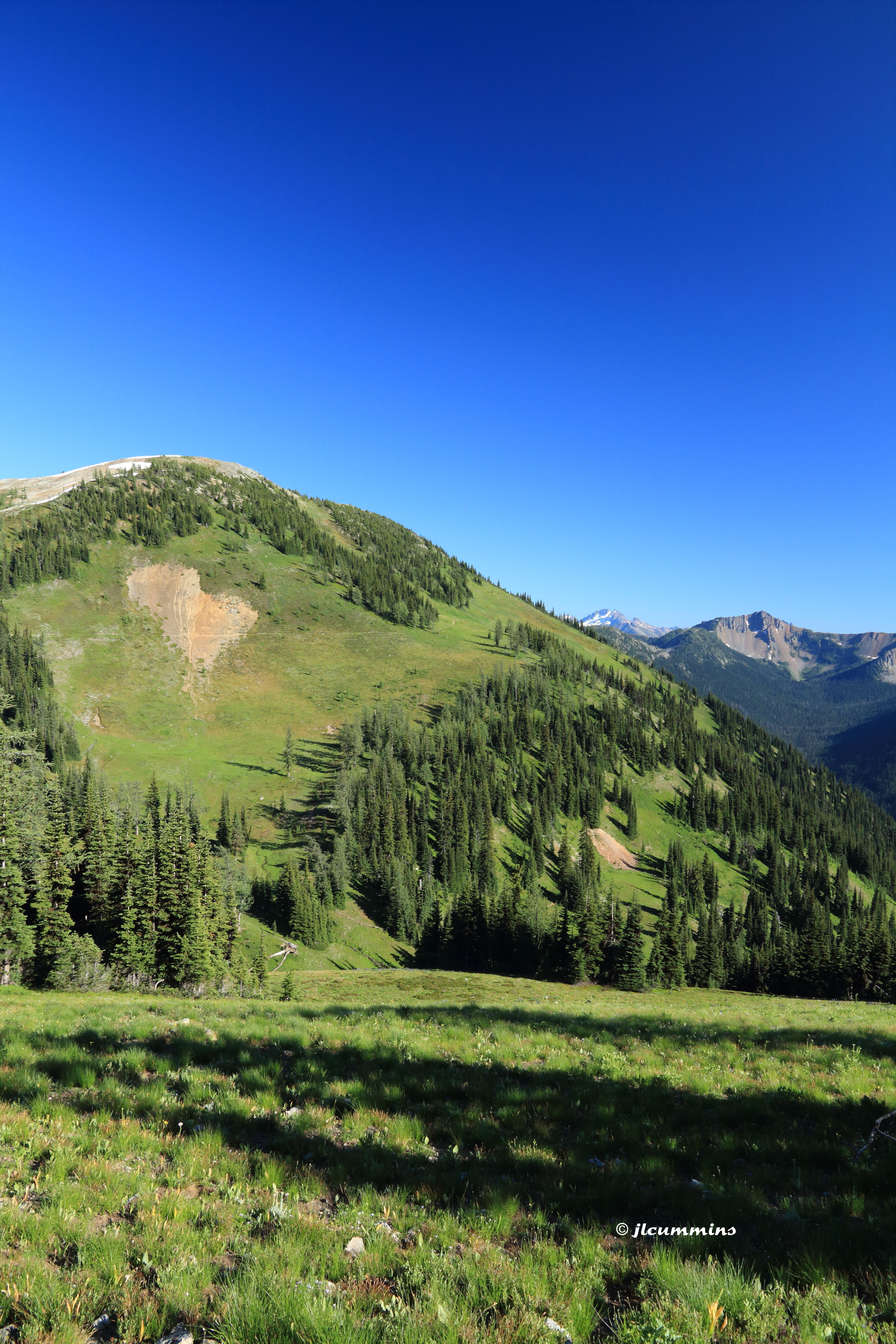
View into North Cascades National Park from Jakita Ridge
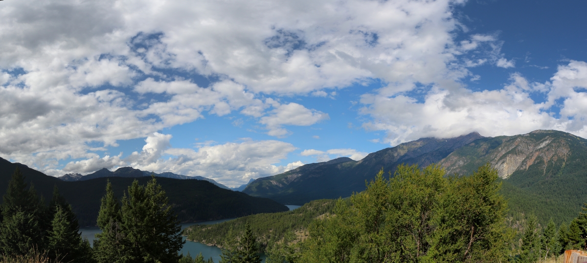
4244 Panorama view over Ross Lake from Highway 20, with Jack Mountain in the clouds, right
2391 Zoomed-in view of the Golden Horn (elev 8366 ft) from the PCT a mile north of Harts Pass
2416 Zoomed -in view of Mount Triumph (6969 ft, 31 miles away) from the PCT a mile north of Harts Pass
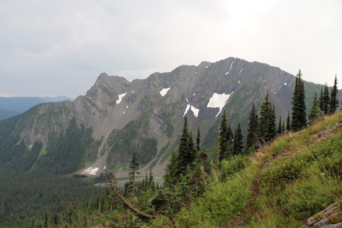
3773 View of the north face of Peak 7270 from the Devils Dome Trail northeast of Devils Pass
Topographic Map of Jackita Ridge, Washington, USA
Find elevation by address:

Places near Jackita Ridge, Washington, USA:
Jackita Ridge South
Mill Creek
Crater Mountain East
Crater Mountain
Shull Mountain
Beebe Mountain
Powder Mountain
Holman Peak
Three Fools Peak
Gabriel Peak
Joker Mountain
Kitling Peak
Soda Peak
Blizzard Peak
Mesahchie Peak
Kimtah Peak
Freezeout Mountain
Holliway Mountain
Cosho Peak
Easy Pass
Recent Searches:
- Elevation map of Greenland, Greenland
- Elevation of Sullivan Hill, New York, New York, 10002, USA
- Elevation of Morehead Road, Withrow Downs, Charlotte, Mecklenburg County, North Carolina, 28262, USA
- Elevation of 2800, Morehead Road, Withrow Downs, Charlotte, Mecklenburg County, North Carolina, 28262, USA
- Elevation of Yangbi Yi Autonomous County, Yunnan, China
- Elevation of Pingpo, Yangbi Yi Autonomous County, Yunnan, China
- Elevation of Mount Malong, Pingpo, Yangbi Yi Autonomous County, Yunnan, China
- Elevation map of Yongping County, Yunnan, China
- Elevation of North 8th Street, Palatka, Putnam County, Florida, 32177, USA
- Elevation of 107, Big Apple Road, East Palatka, Putnam County, Florida, 32131, USA
- Elevation of Jiezi, Chongzhou City, Sichuan, China
- Elevation of Chongzhou City, Sichuan, China
- Elevation of Huaiyuan, Chongzhou City, Sichuan, China
- Elevation of Qingxia, Chengdu, Sichuan, China
- Elevation of Corso Fratelli Cairoli, 35, Macerata MC, Italy
- Elevation of Tallevast Rd, Sarasota, FL, USA
- Elevation of 4th St E, Sonoma, CA, USA
- Elevation of Black Hollow Rd, Pennsdale, PA, USA
- Elevation of Oakland Ave, Williamsport, PA, USA
- Elevation of Pedrógão Grande, Portugal