Elevation of Kimtah Peak, Washington, USA
Location: United States > Washington > Skagit County >
Longitude: -120.91011
Latitude: 48.5851312
Elevation: 2503m / 8212feet
Barometric Pressure: 75KPa
Elevation Map:
Satellite Map:
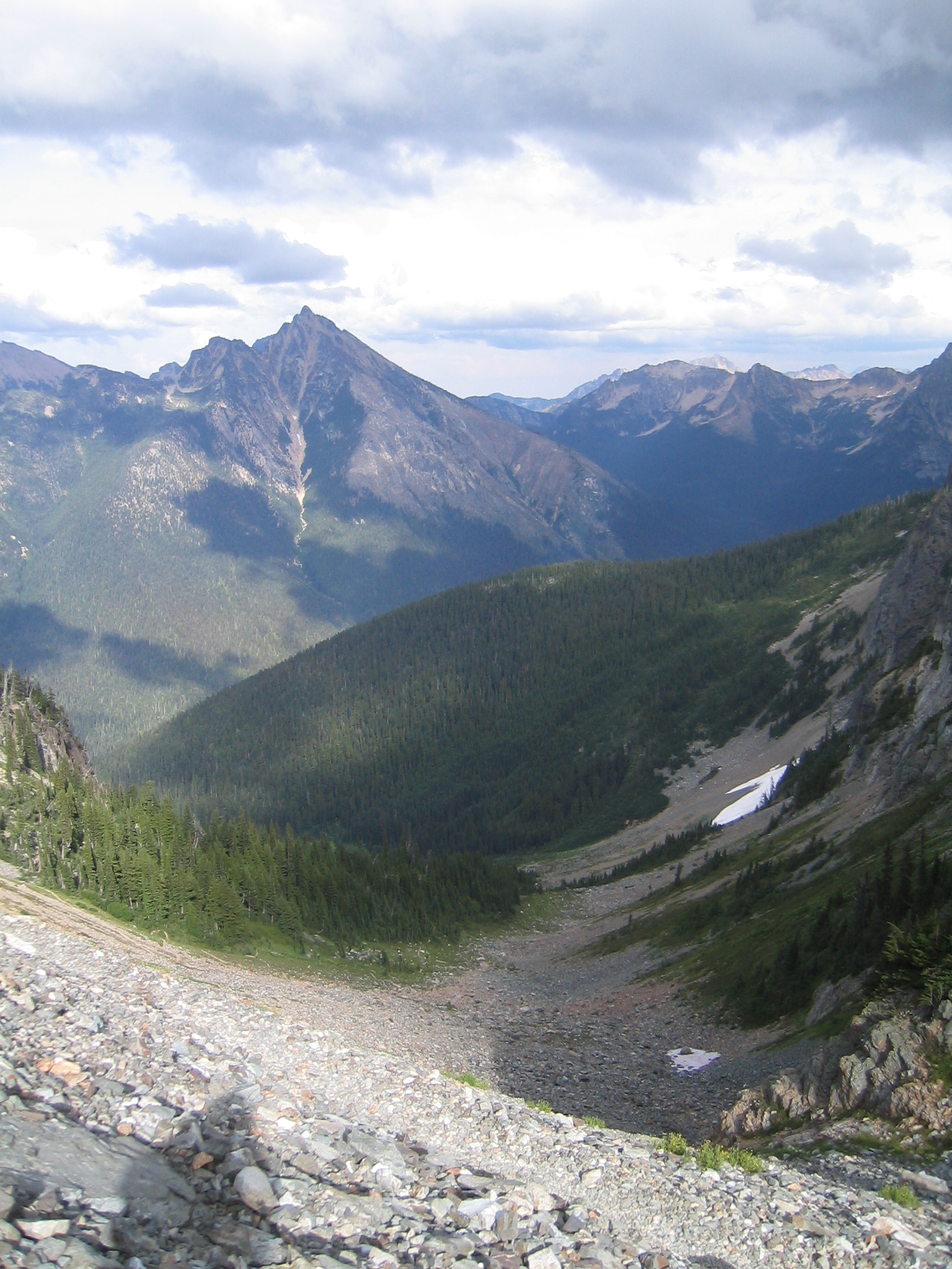
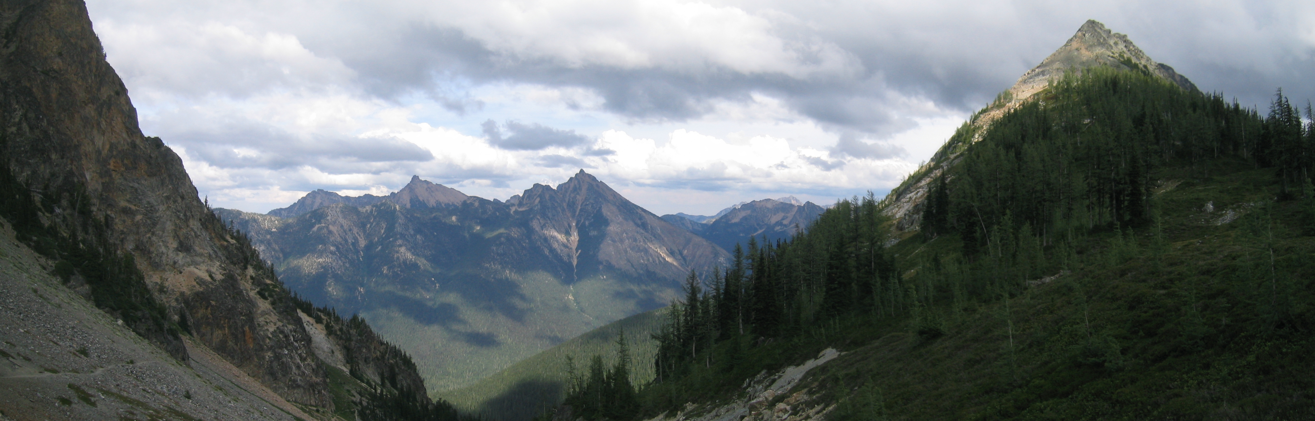
Related Photos:

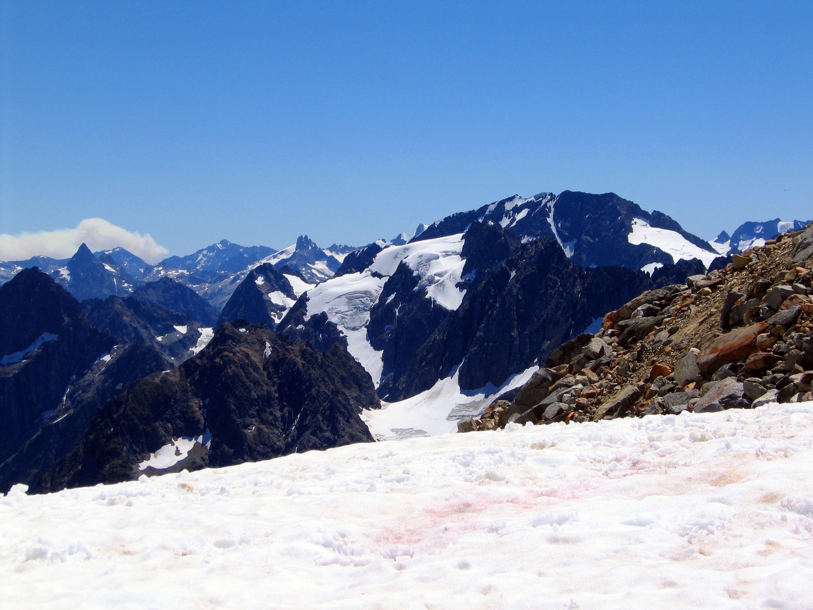
IMG_8156-69
Cascadia Dreaming 2009
Looking Towards Logan
The view from here is quite nice

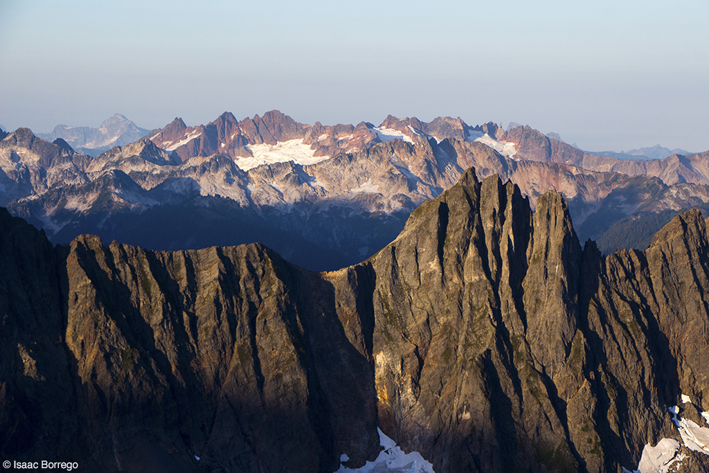
Sahale Mountain Rocks
Endless Mountains
Shale Glacier view

The Marvelous Maple Pass Loop

Sweeping views
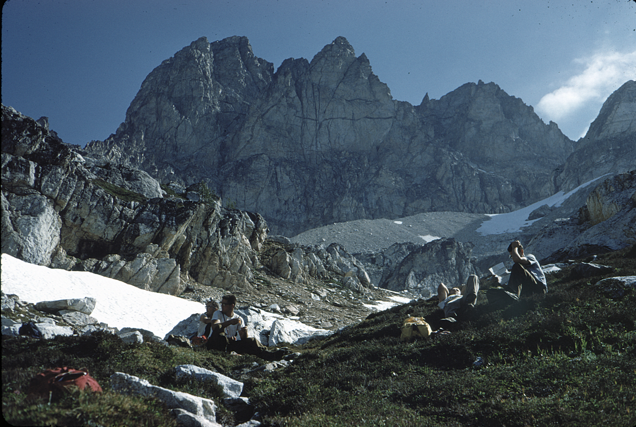
Image-60-202
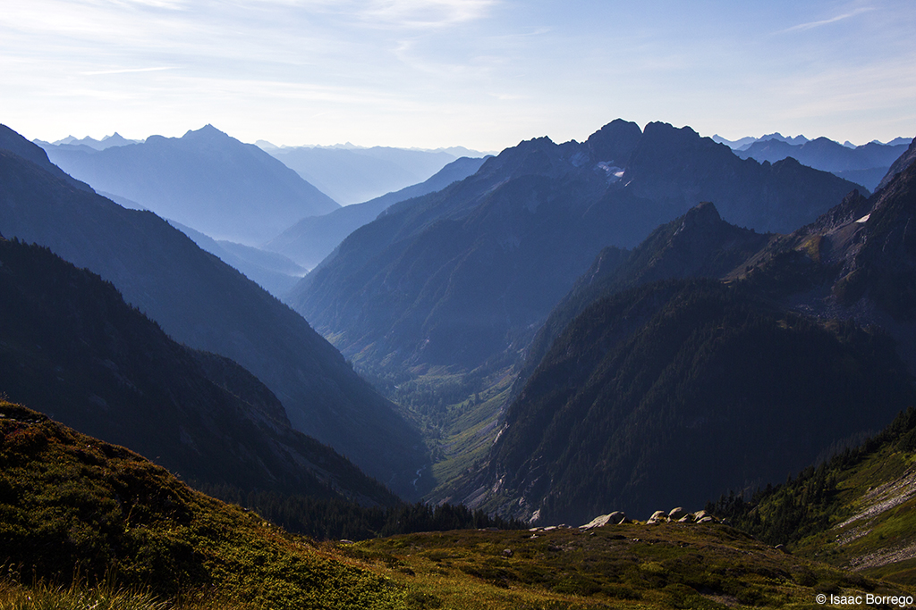
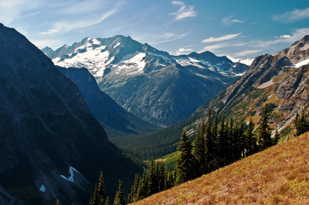
Glacial Valley
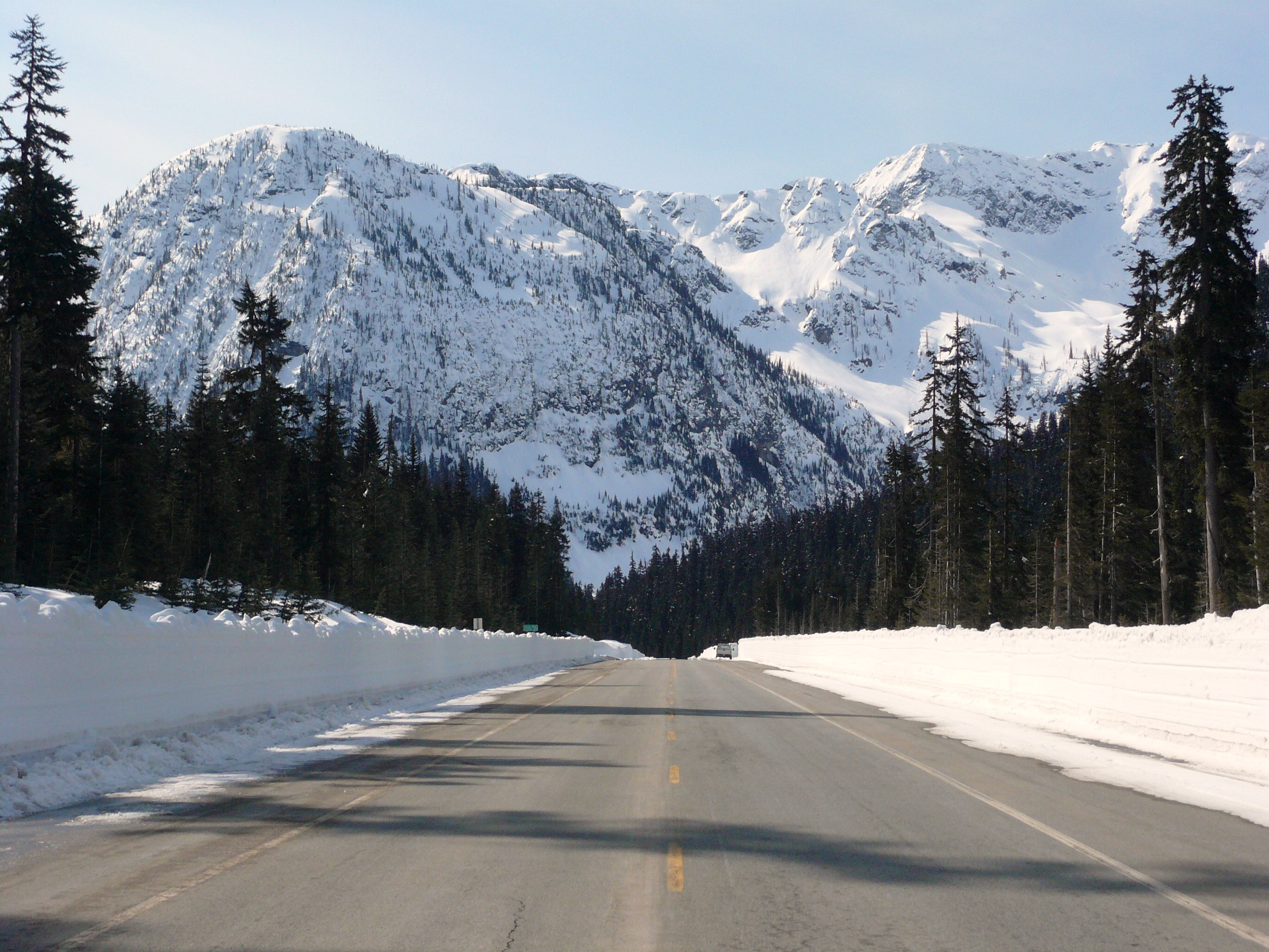
View from atop Rainy Pass - SR 20, North Cascades Highway

View from Maple Pass
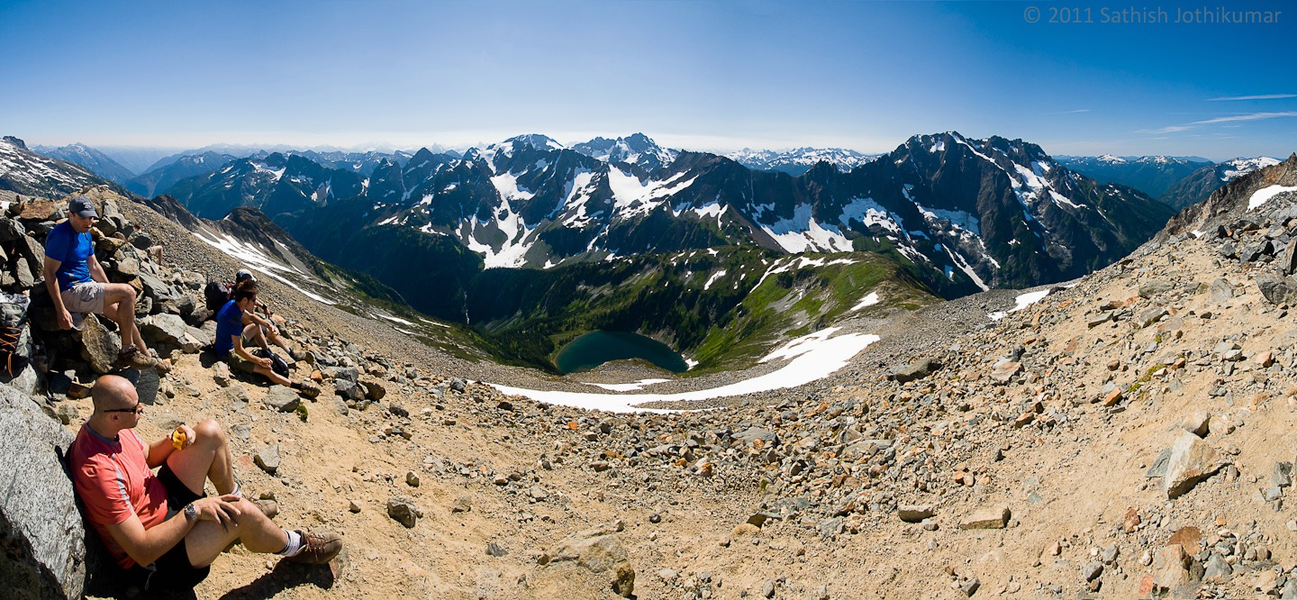
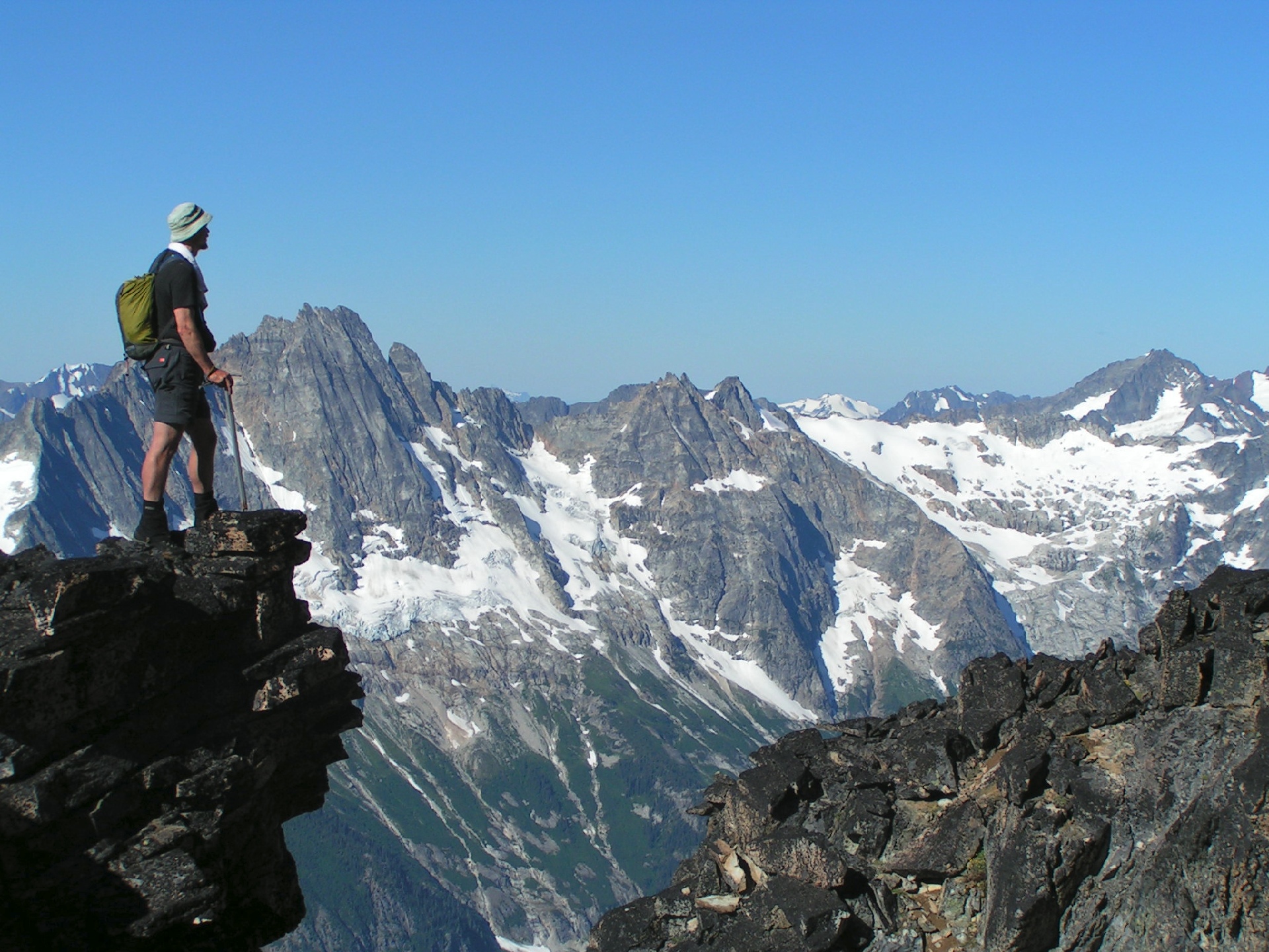
View from Sahale Arm
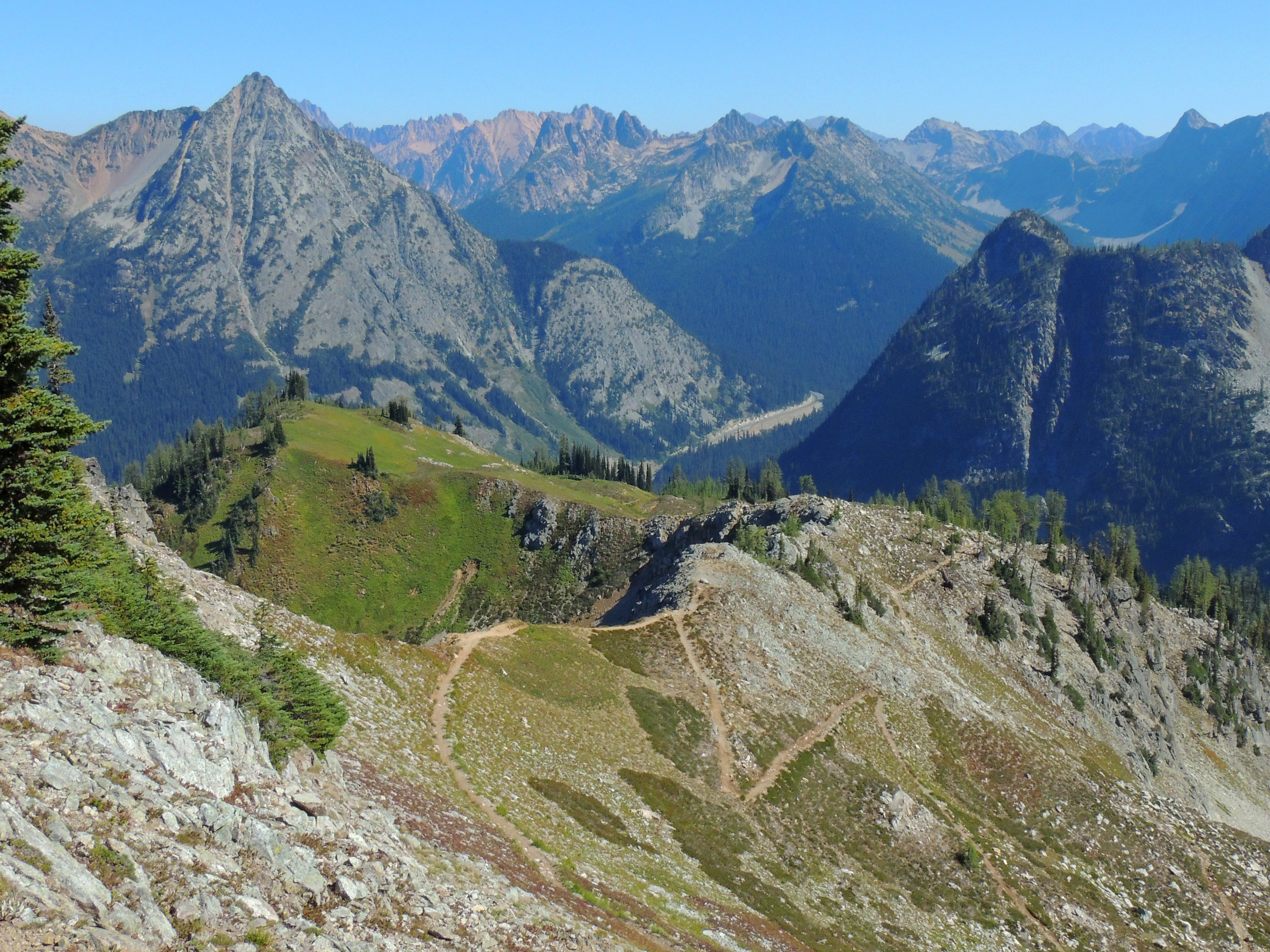
The Marvelous Maple Pass Loop
Black Peak
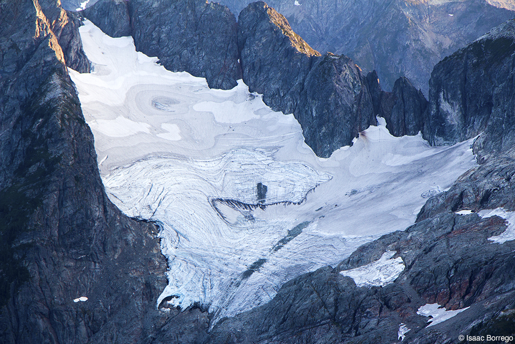
Glacier Detail
Mount Hardy
Graybeard Peak, Mount Hardy, Golden Horn Panoramic

North Cascades National Park. Mount Buckner on the left

View from Heather Pass
Topographic Map of Kimtah Peak, Washington, USA
Find elevation by address:

Places near Kimtah Peak, Washington, USA:
Cosho Peak
Cosho Camp
Mesahchie Peak
Gabriel Peak
Kitling Peak
Fisher Camp
Mount Arriva
Easy Pass
Beebe Mountain
Fisher Peak
Black Peak
Mount Hardy
Holliway Mountain
Rainy Pass Trailhead
Tower Mountain
The Needles
Hinkhouse Peak
Washington Pass
Lone Fir Campground (recgovnpsdata)
Kangaroo Ridge
Recent Searches:
- Elevation of Corso Fratelli Cairoli, 35, Macerata MC, Italy
- Elevation of Tallevast Rd, Sarasota, FL, USA
- Elevation of 4th St E, Sonoma, CA, USA
- Elevation of Black Hollow Rd, Pennsdale, PA, USA
- Elevation of Oakland Ave, Williamsport, PA, USA
- Elevation of Pedrógão Grande, Portugal
- Elevation of Klee Dr, Martinsburg, WV, USA
- Elevation of Via Roma, Pieranica CR, Italy
- Elevation of Tavkvetili Mountain, Georgia
- Elevation of Hartfords Bluff Cir, Mt Pleasant, SC, USA