Elevation of Fisher Camp, Washington, United States
Location: United States > Washington > Skagit County >
Longitude: -120.85455
Latitude: 48.5672784
Elevation: 1586m / 5203feet
Barometric Pressure: 84KPa
Elevation Map:
Satellite Map:
Related Photos:

IMG_8156-69

Tamarack reflected Blue Lake
Washington Pass, North Cascades National Park

Blue Lake, tamarack, Cutthroat Pk
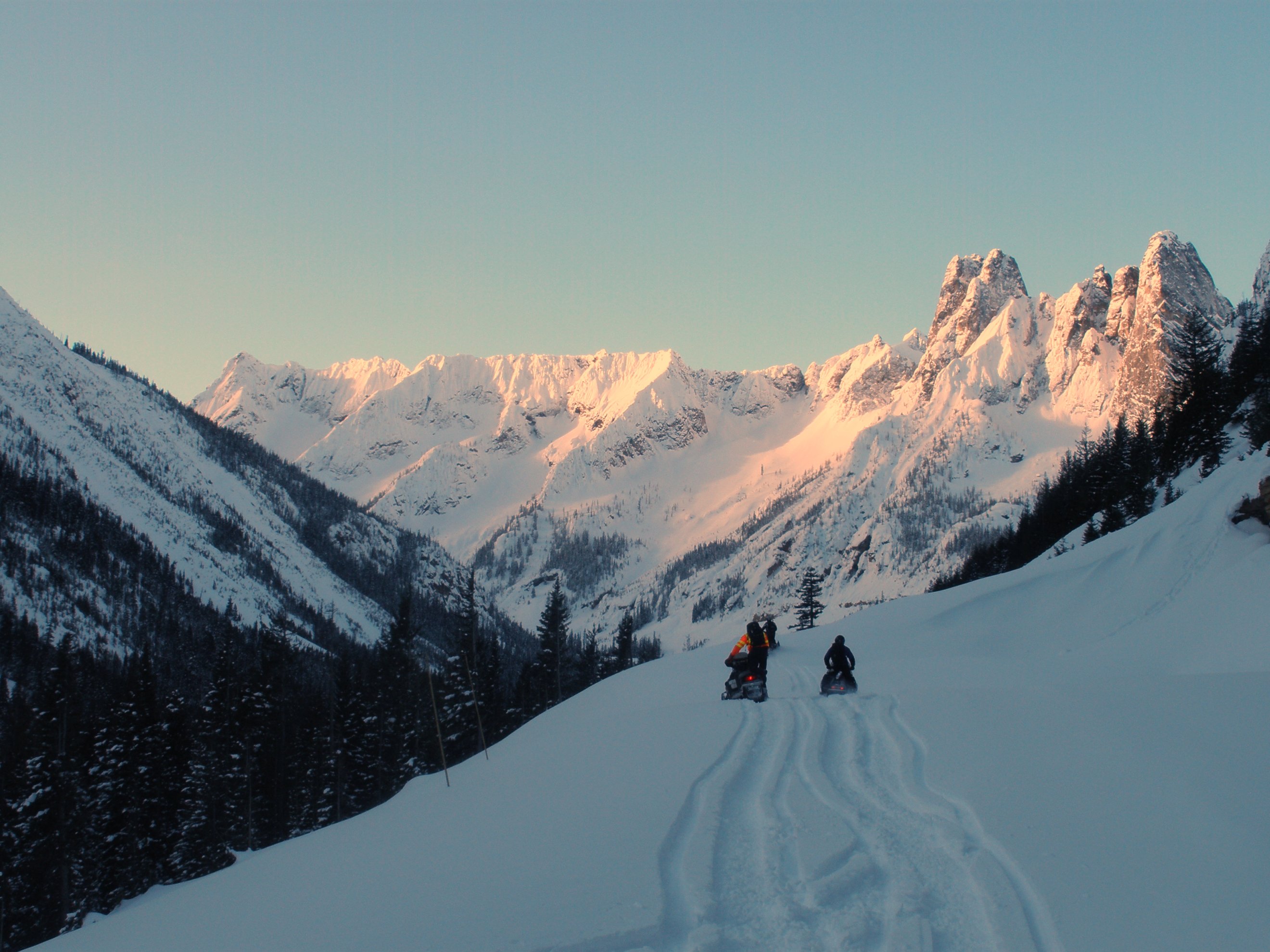
North Cascades Highway - Snow 20 feet deep at Cutthroat Ridge avalanche chutes 6, 7, 8

Sahale Mountain Rocks

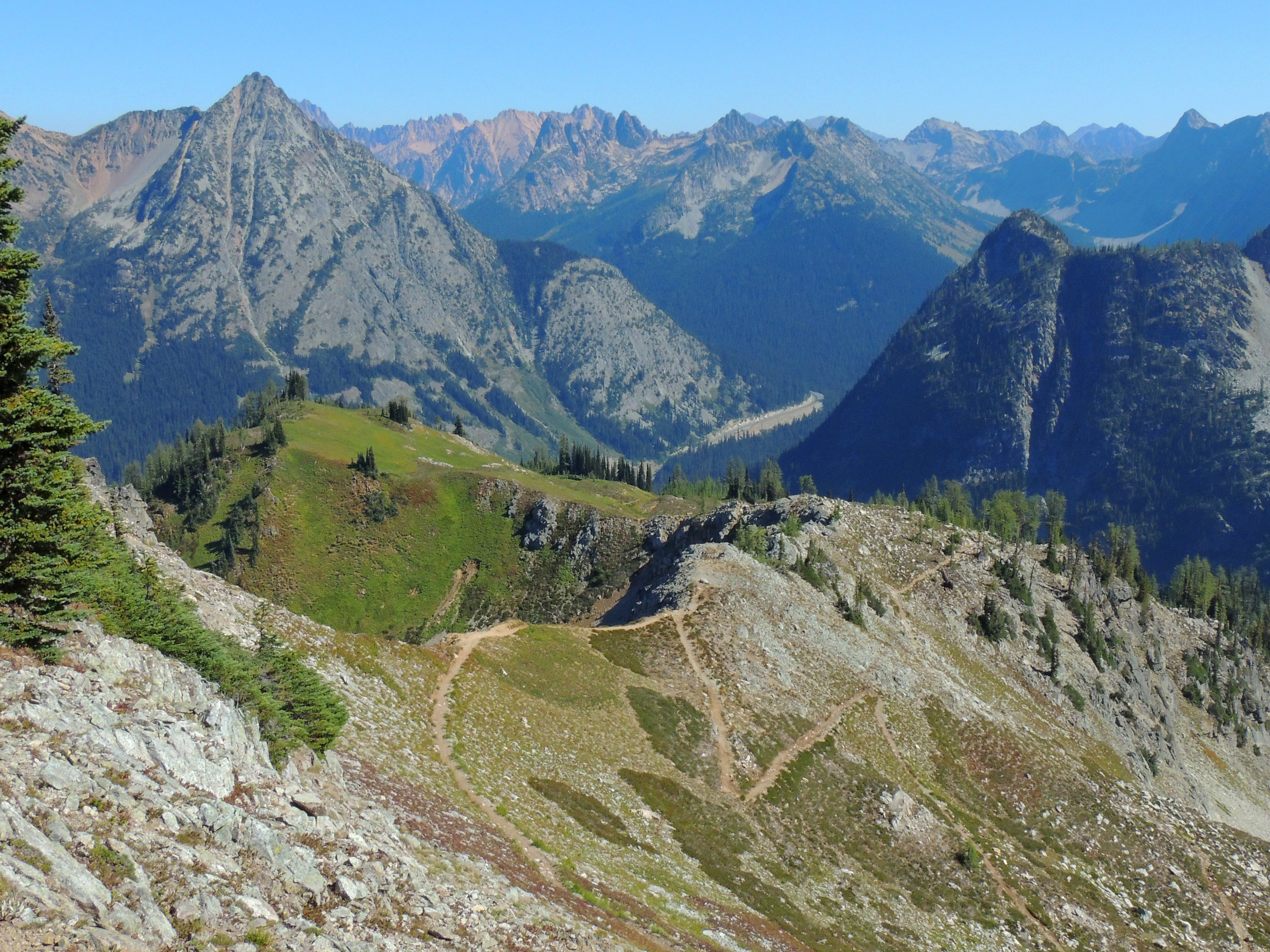
View from Pacific Crest Trail Cutthroat Pass
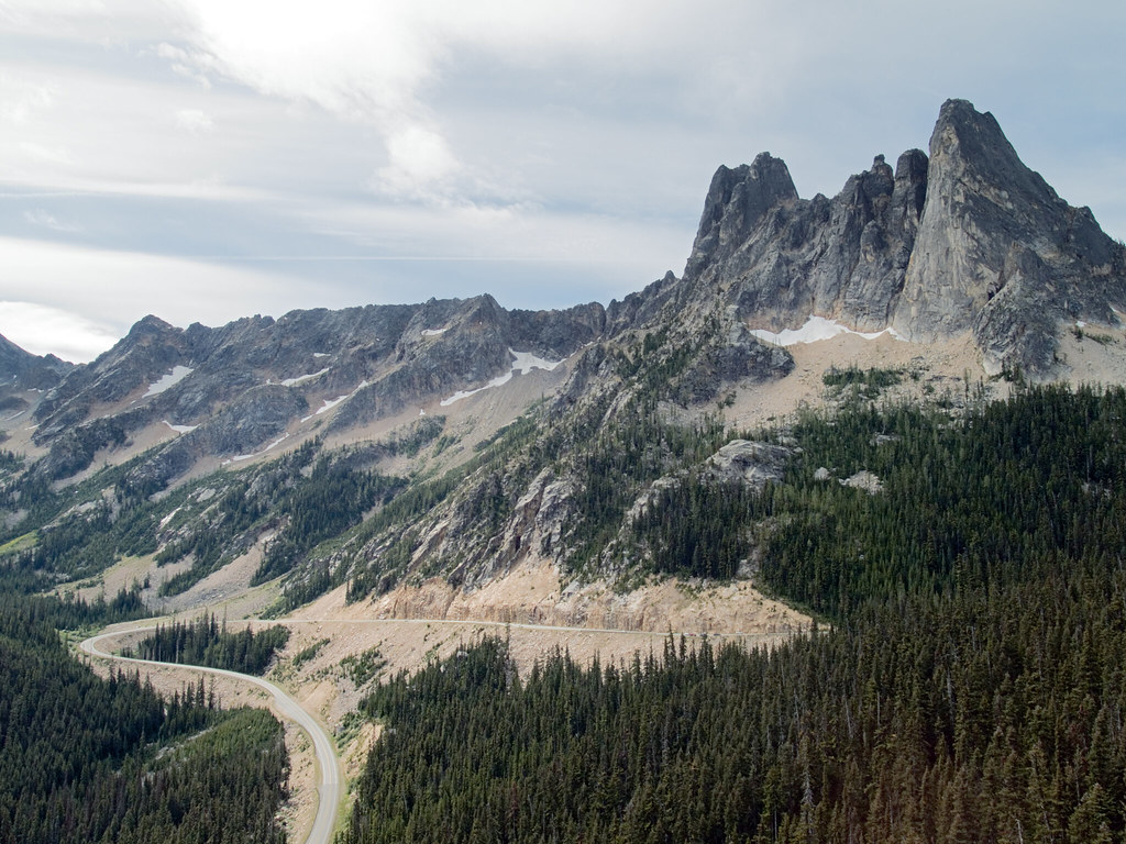
Washington Pass Overlook

The Marvelous Maple Pass Loop
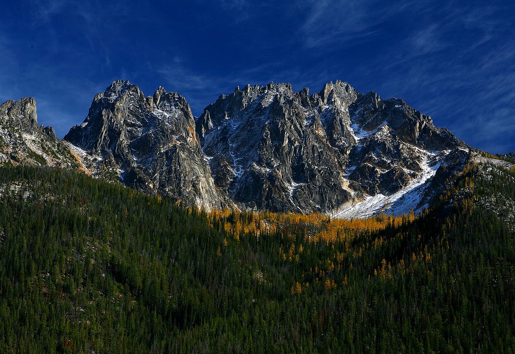
Liberty Bell Mountain

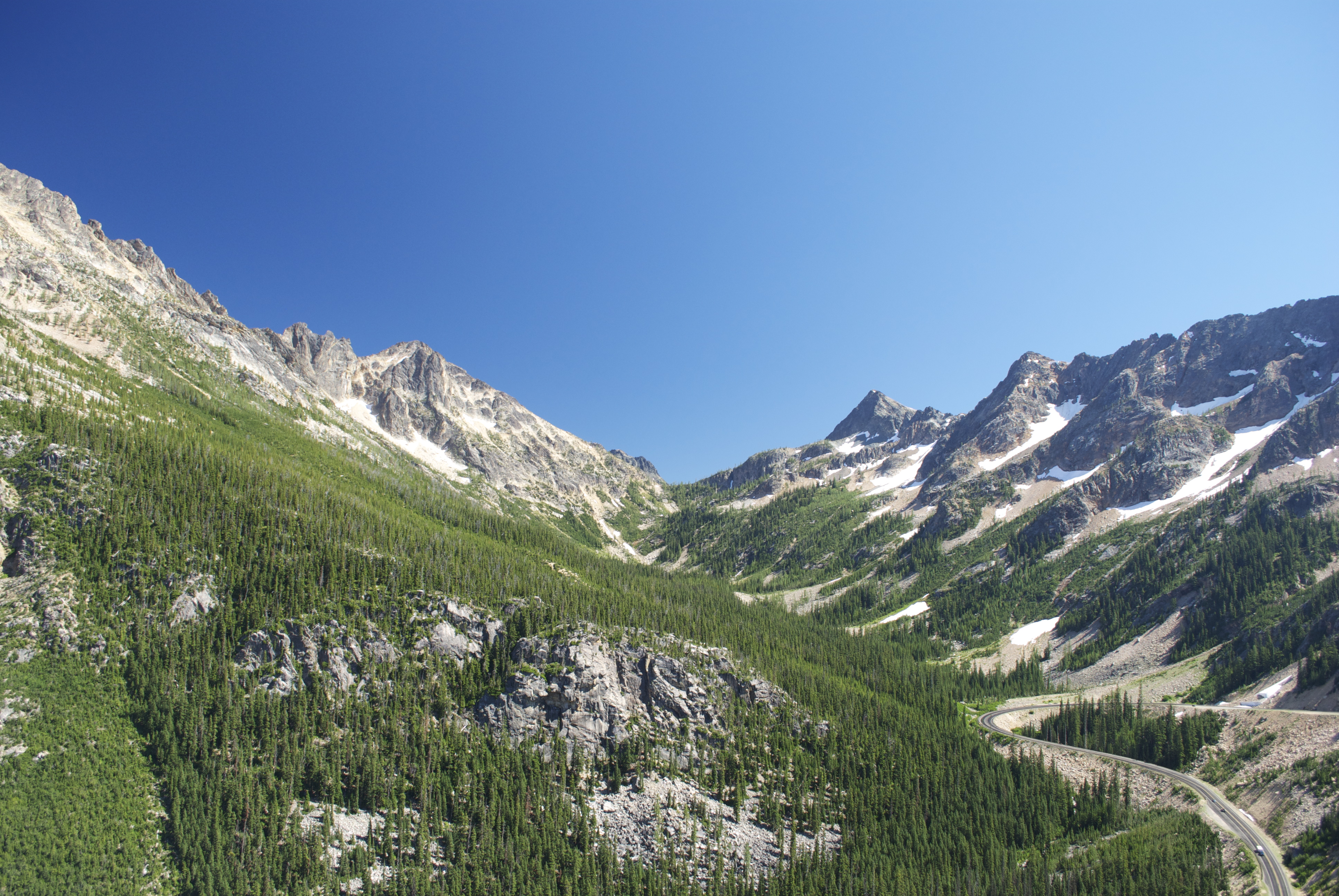
Sweeping views

View from Pacific Crest Trail Cutthroat Pass
Image-60-202
Washington Pass Overlook
View from atop Rainy Pass - SR 20, North Cascades Highway

View from Maple Pass
Washington Pass 02 - Painting
The Marvelous Maple Pass Loop
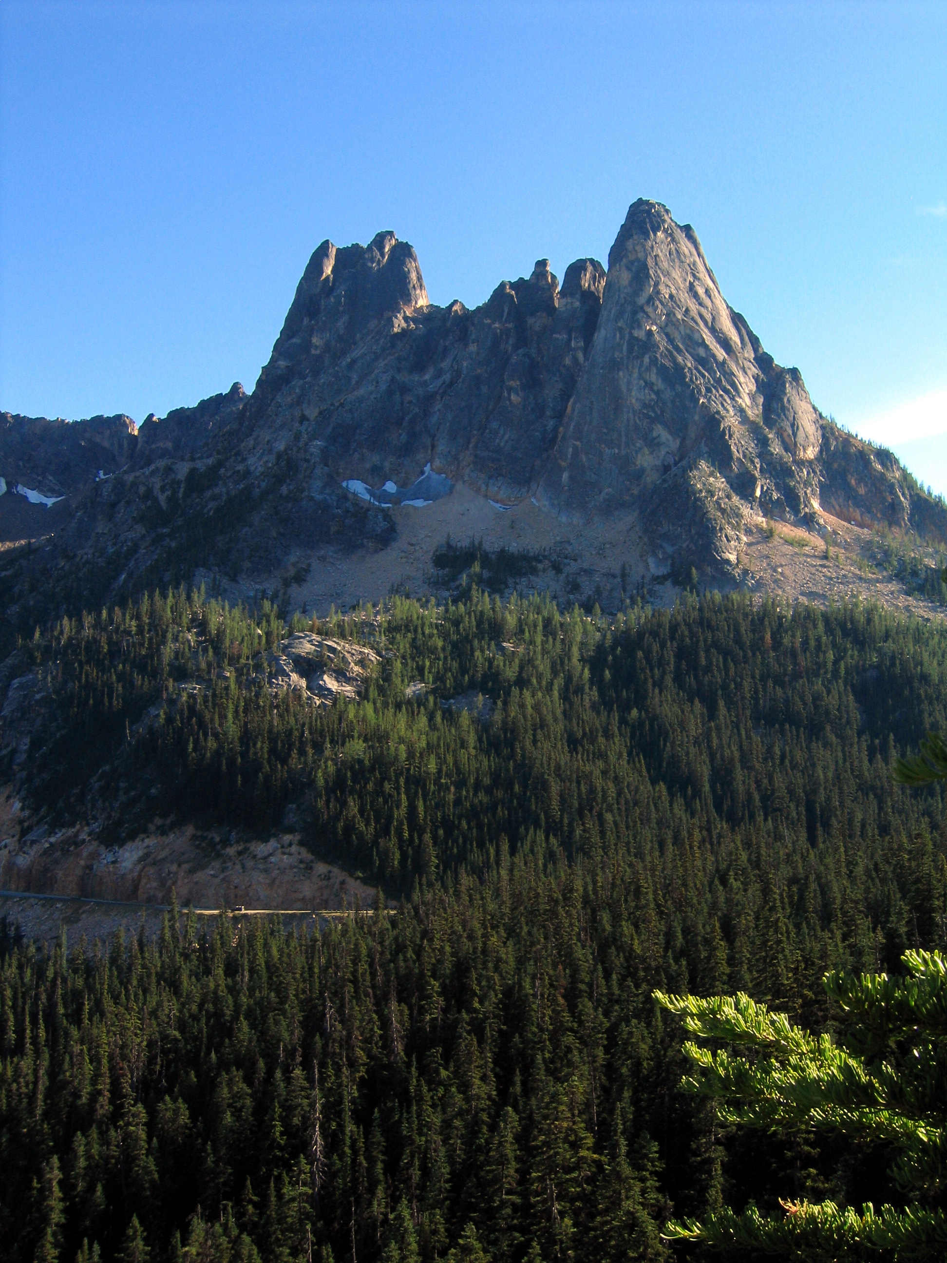
Liberty Bell Peak and Early Winter Spires
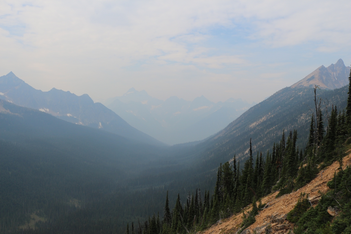
1119 Hazy view down Swamp Creek from the PCT - Mount Hardy and Methow Pass on the right
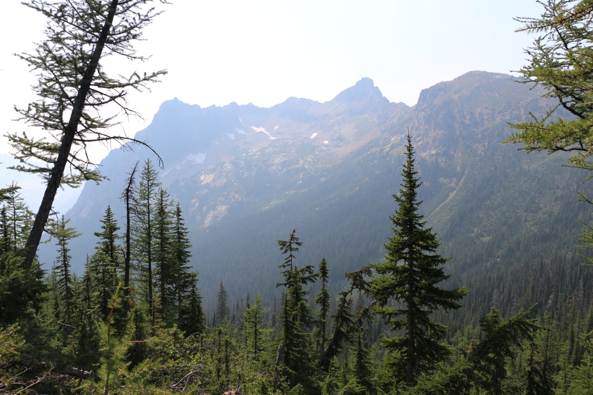
0775 PCT - hazy smoky view of Peak 7762 from just above the CS2603 campsite
Topographic Map of Fisher Camp, Washington, United States
Find elevation by address:

Places near Fisher Camp, Washington, United States:
Easy Pass
Kitling Peak
Mount Arriva
Mesahchie Peak
Fisher Peak
Cosho Camp
Kimtah Peak
Black Peak
Cosho Peak
Gabriel Peak
Mount Hardy
Beebe Mountain
Rainy Pass Trailhead
Holliway Mountain
Tower Mountain
Hinkhouse Peak
The Needles
Washington Pass
Lone Fir Campground (recgovnpsdata)
Kangaroo Ridge
Recent Searches:
- Elevation of Corso Fratelli Cairoli, 35, Macerata MC, Italy
- Elevation of Tallevast Rd, Sarasota, FL, USA
- Elevation of 4th St E, Sonoma, CA, USA
- Elevation of Black Hollow Rd, Pennsdale, PA, USA
- Elevation of Oakland Ave, Williamsport, PA, USA
- Elevation of Pedrógão Grande, Portugal
- Elevation of Klee Dr, Martinsburg, WV, USA
- Elevation of Via Roma, Pieranica CR, Italy
- Elevation of Tavkvetili Mountain, Georgia
- Elevation of Hartfords Bluff Cir, Mt Pleasant, SC, USA