Elevation of Holliway Mountain, Washington, USA
Location: United States > Washington > Winthrop >
Longitude: -120.73010
Latitude: 48.6170797
Elevation: 2371m / 7779feet
Barometric Pressure: 76KPa
Elevation Map:
Satellite Map:
Related Photos:
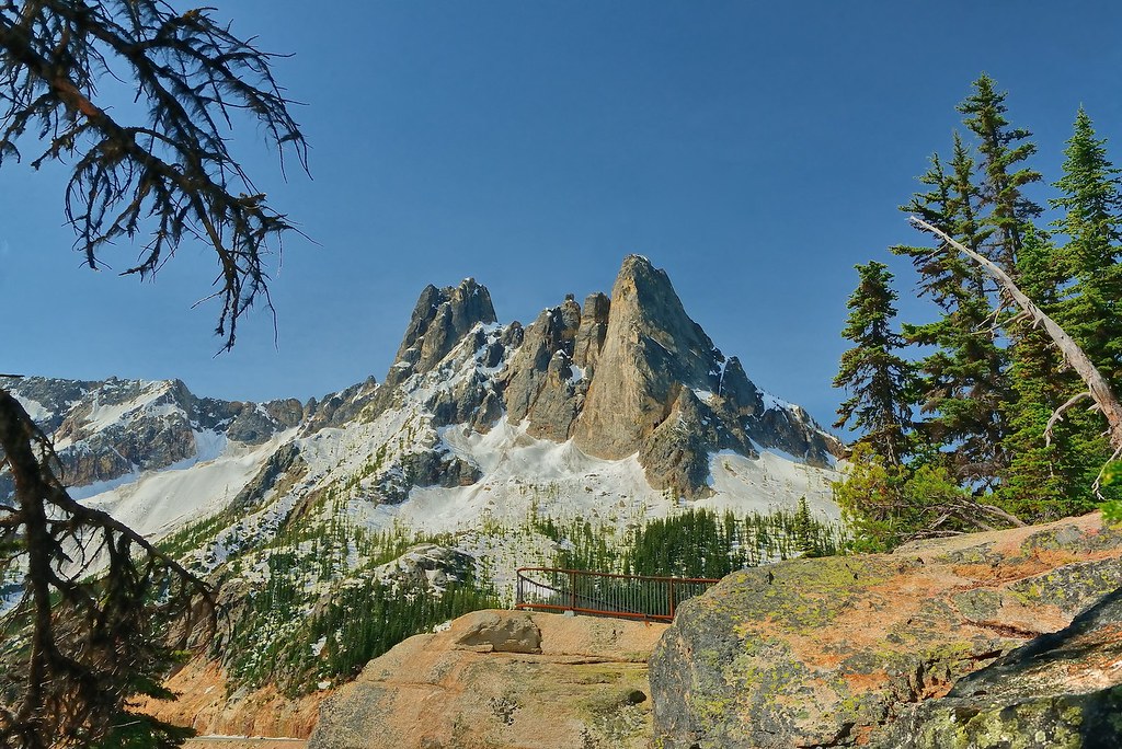
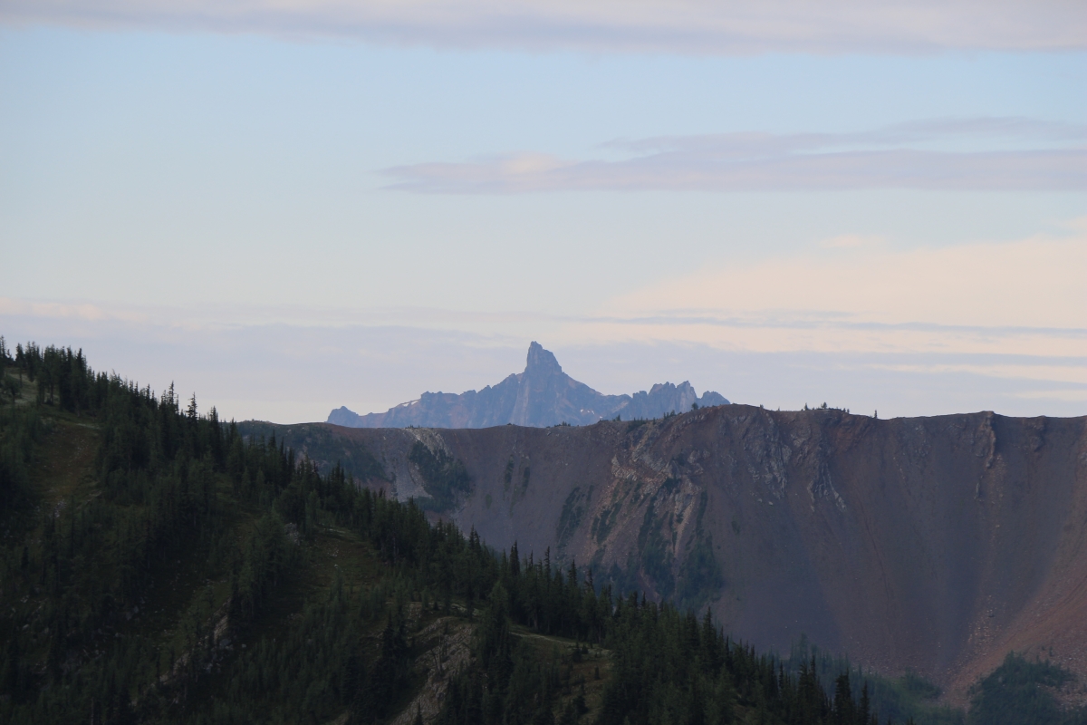
Liberty Bell Peaks
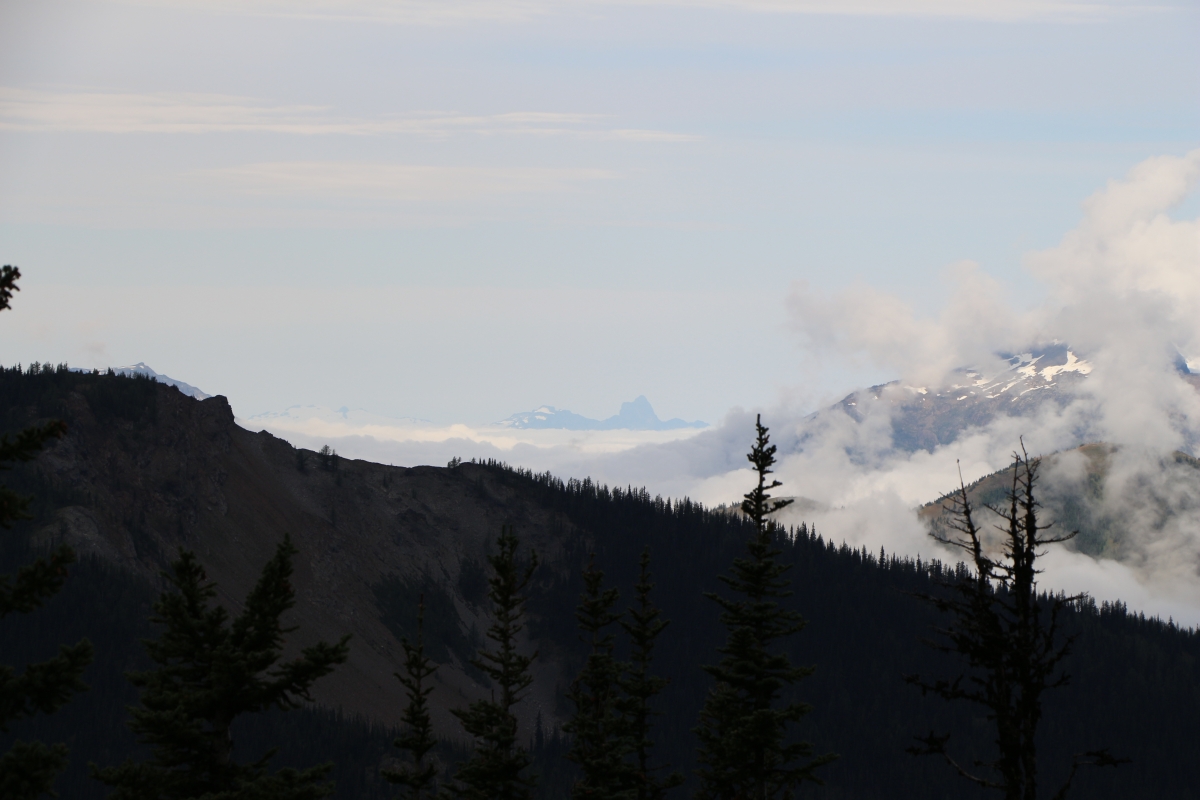
View of the Gods
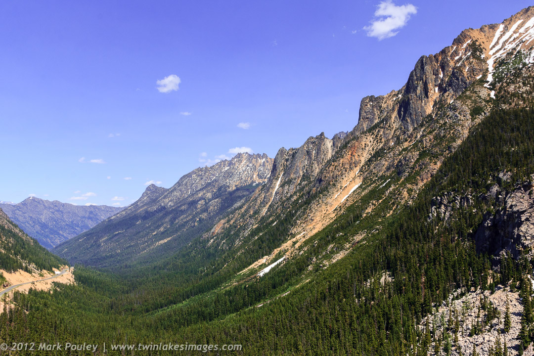
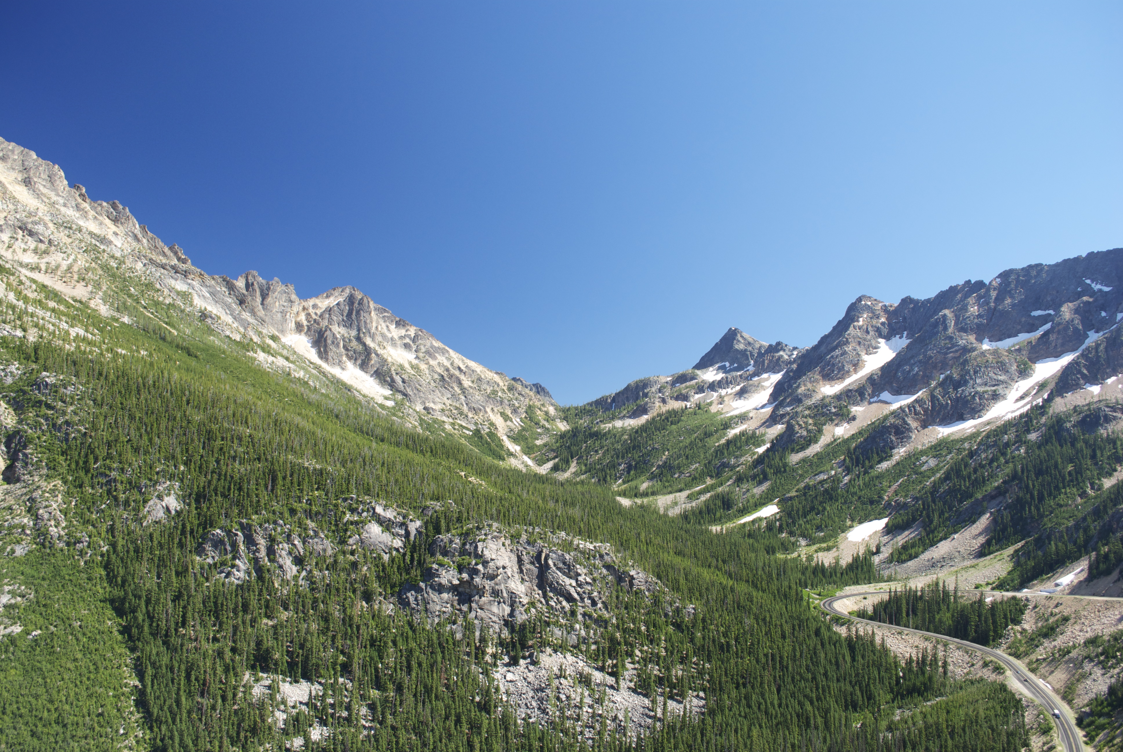
North Cascade Highway

Tamarack reflected Blue Lake
Washington Pass, North Cascades National Park

Avalanches on SR 20 below Liberty Bell

Blue Lake, tamarack, Cutthroat Pk
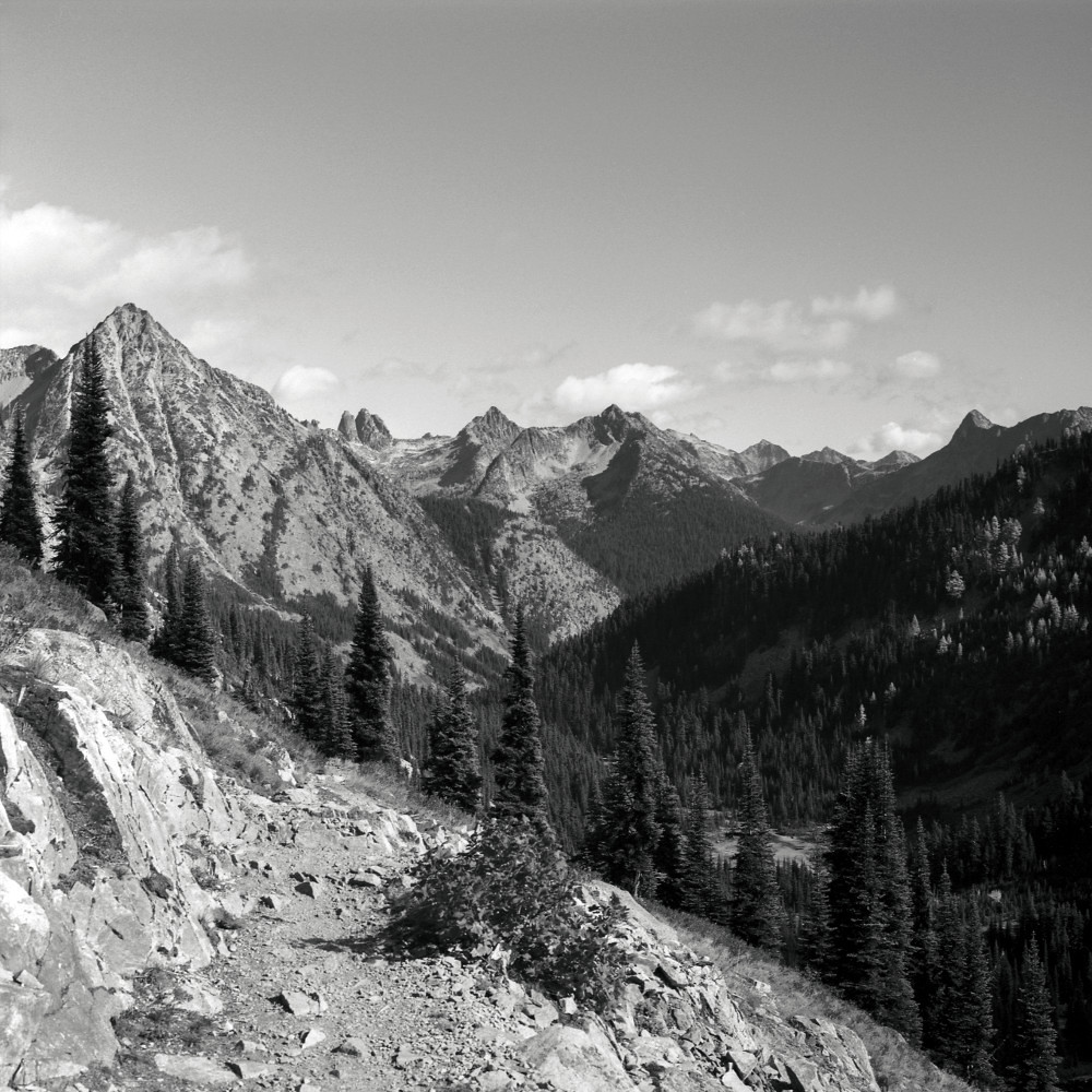
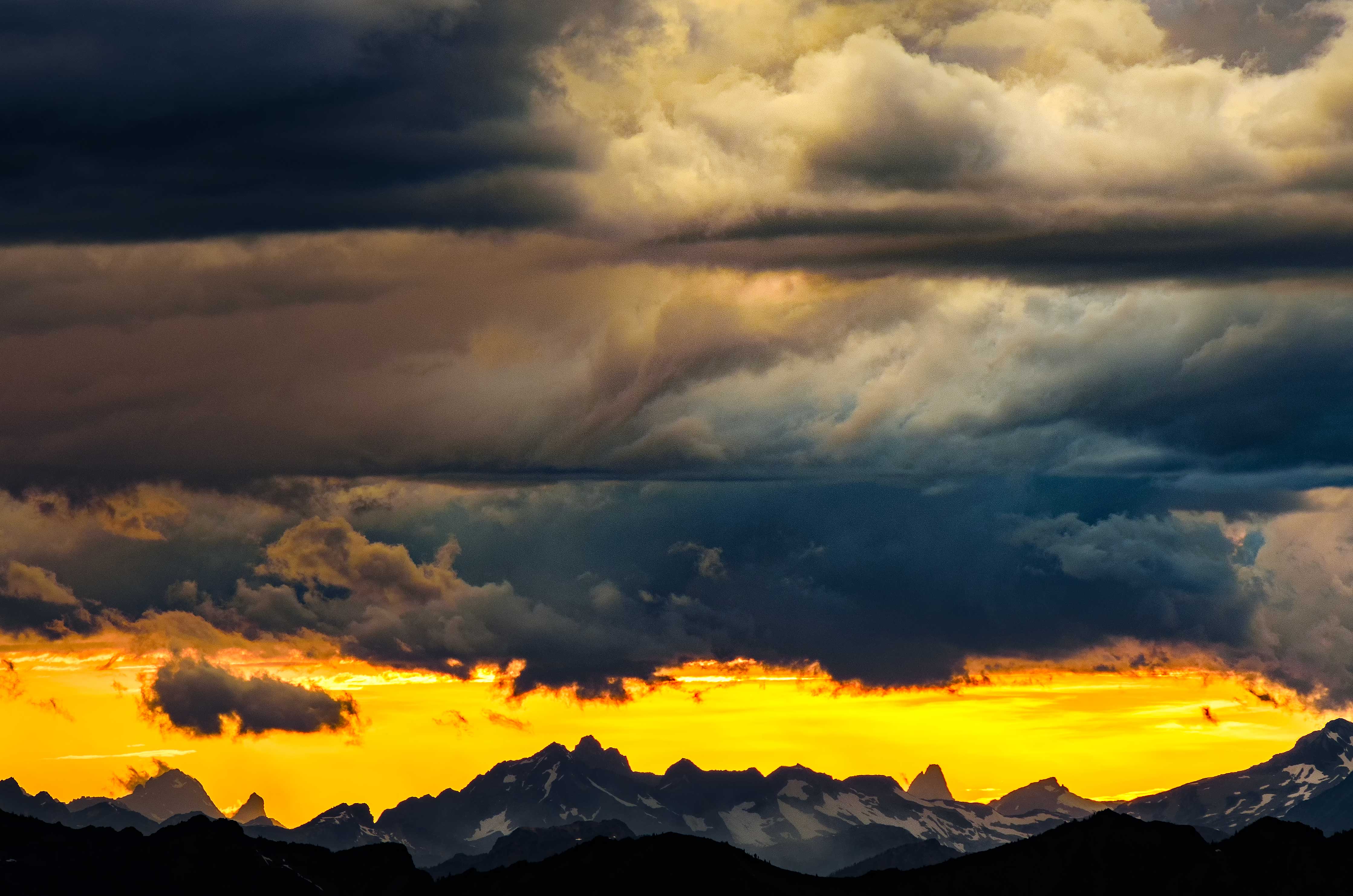
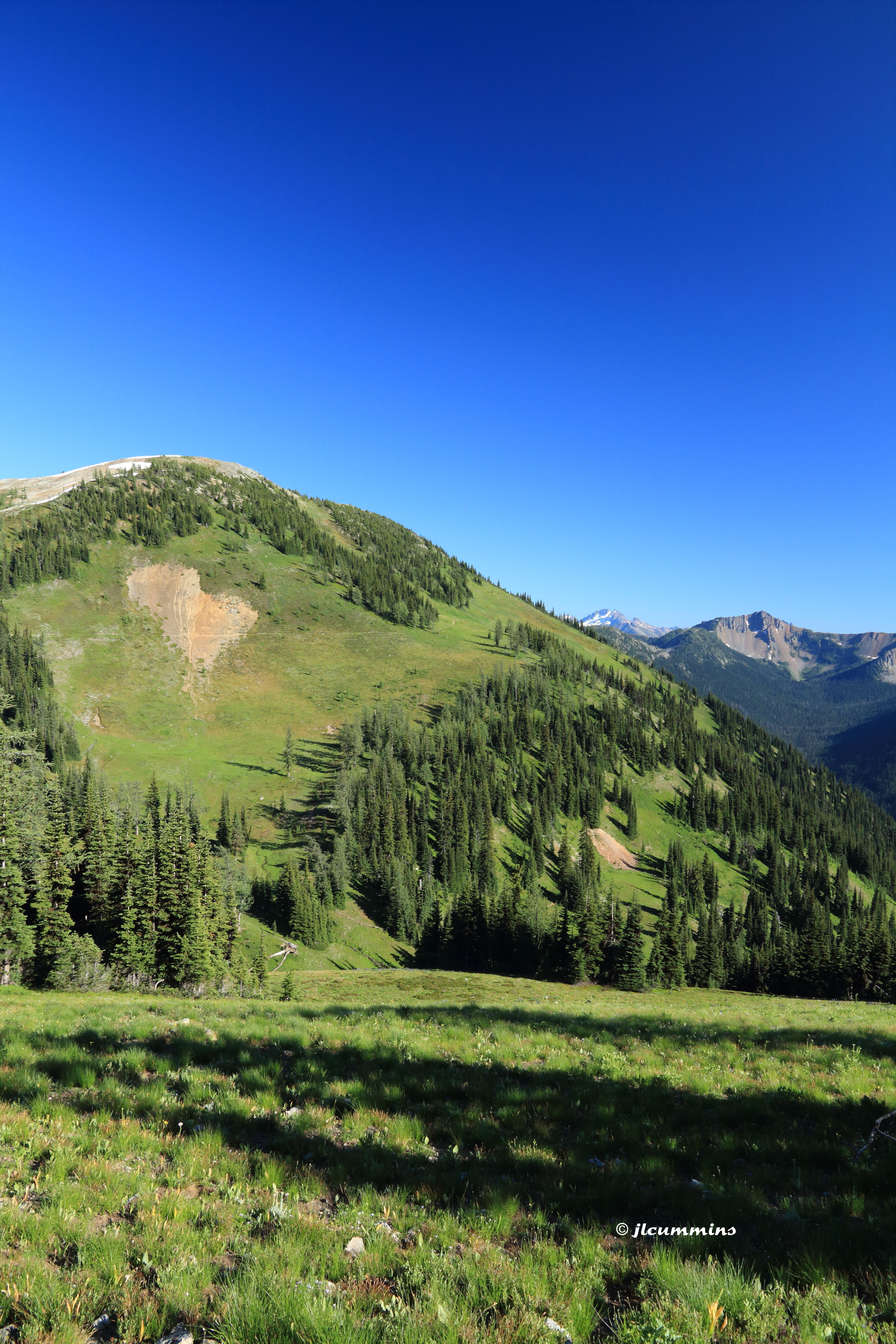
The view from here is quite nice

Avalanches on SR 20 below Liberty Bell
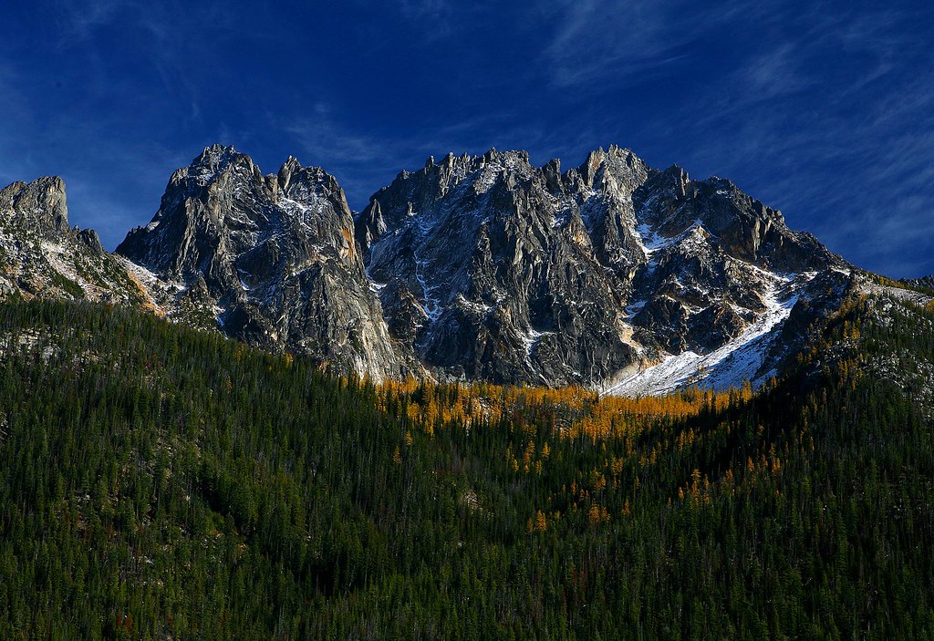
The view from Liberty Bell 3 towards Liberty Bell 1 and 2

A nice view of the hairpin curve from the Liberty Bell avalanche zone
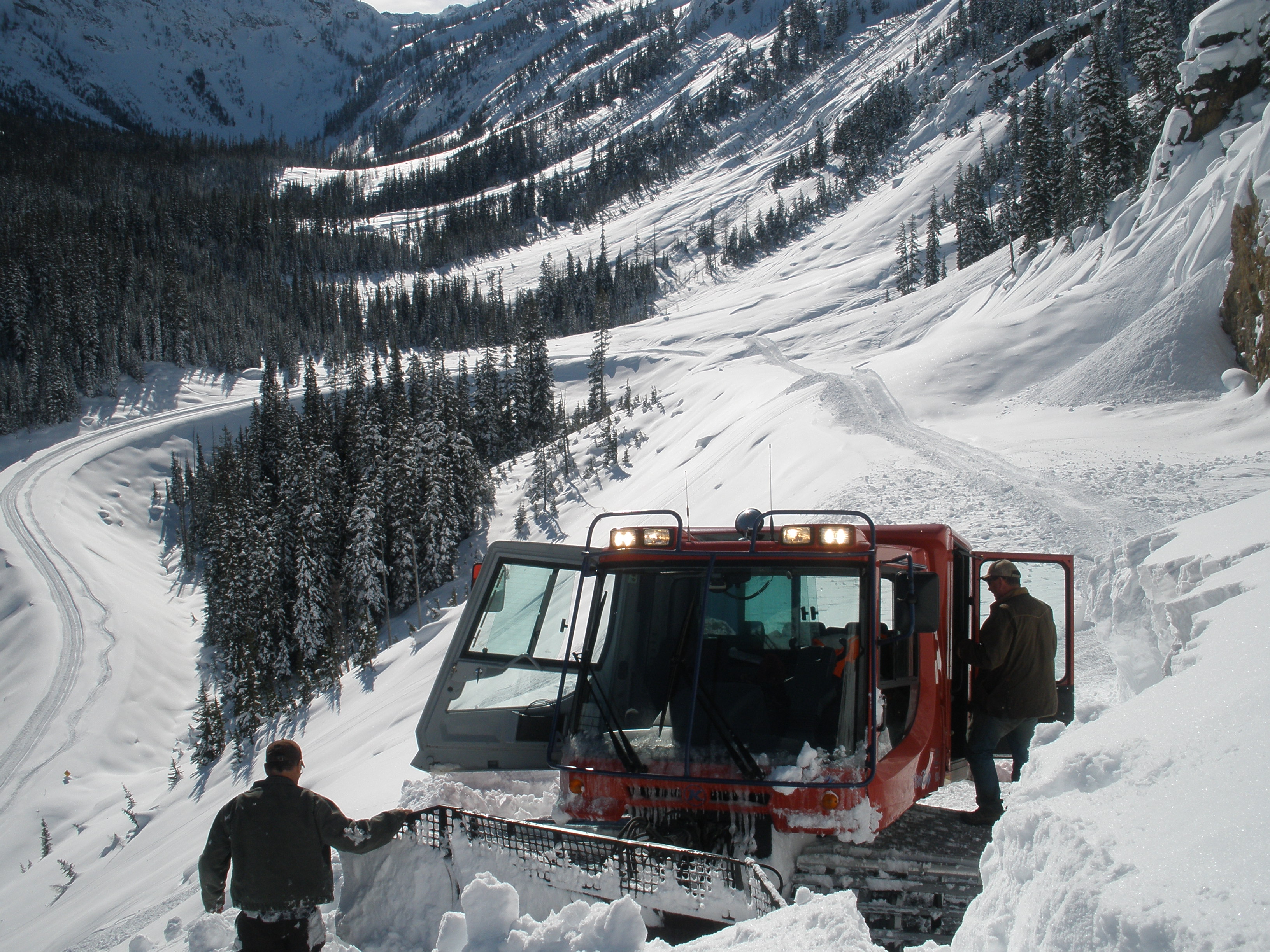
North Cascades Highway - Snow 20 feet deep at Cutthroat Ridge avalanche chutes 6, 7, 8

View for my tent. Full moon.

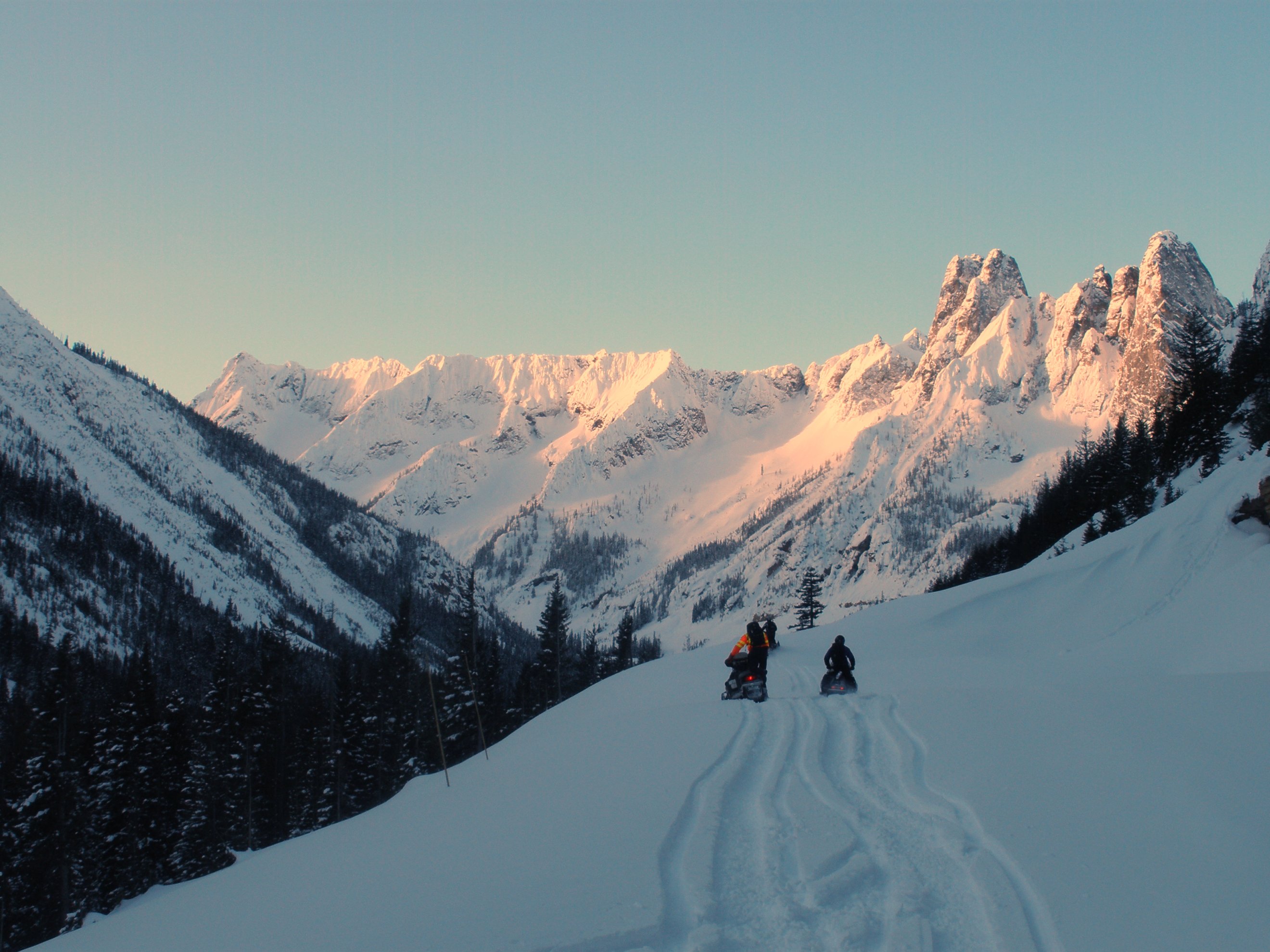
Snow and avalanches bury the highway in the Liberty Bell avalanche zone

View from Pacific Crest Trail Cutthroat Pass
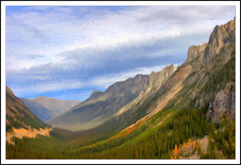
Washington Pass 01 - Painting
Washington Pass Overlook
View from PCT northbound from Harts Pass

View from Maple Pass
2391 Zoomed-in view of the Golden Horn (elev 8366 ft) from the PCT a mile north of Harts Pass
2416 Zoomed -in view of Mount Triumph (6969 ft, 31 miles away) from the PCT a mile north of Harts Pass
Topographic Map of Holliway Mountain, Washington, USA
Find elevation by address:

Places near Holliway Mountain, Washington, USA:
Tower Mountain
Mount Hardy
The Needles
Rainy Pass Trailhead
Hinkhouse Peak
Lone Fir Campground (recgovnpsdata)
Fisher Peak
Washington Pass
Easy Pass
Black Peak
Kitling Peak
Fisher Camp
Mount Arriva
Vasiliki Ridge
Kangaroo Ridge
Mesahchie Peak
Silver Star Mountain
Snagtooth Ridge
Kimtah Peak
Cosho Camp
Recent Searches:
- Elevation of Corso Fratelli Cairoli, 35, Macerata MC, Italy
- Elevation of Tallevast Rd, Sarasota, FL, USA
- Elevation of 4th St E, Sonoma, CA, USA
- Elevation of Black Hollow Rd, Pennsdale, PA, USA
- Elevation of Oakland Ave, Williamsport, PA, USA
- Elevation of Pedrógão Grande, Portugal
- Elevation of Klee Dr, Martinsburg, WV, USA
- Elevation of Via Roma, Pieranica CR, Italy
- Elevation of Tavkvetili Mountain, Georgia
- Elevation of Hartfords Bluff Cir, Mt Pleasant, SC, USA