Elevation of Military Rd, Covington, LA, USA
Location: United States > Louisiana > St. Tammany Parish > > Covington >
Longitude: -90.055875
Latitude: 30.512239
Elevation: 11m / 36feet
Barometric Pressure: 101KPa
Elevation Map:
Satellite Map:
Related Photos:

The Road Home
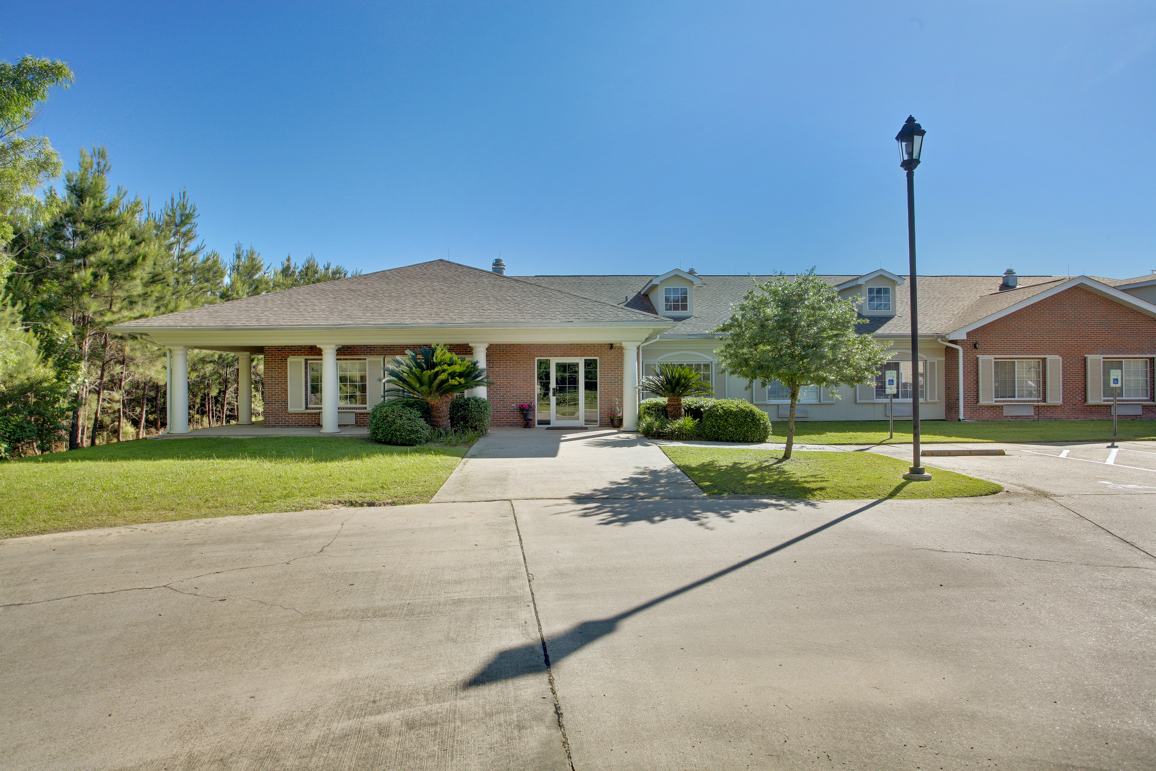
Emeritus at Mandeville

Light in the Woods 3

Foggy Morning With Birds
Covington, Louisiana

Flooded Creek

Foggy Autumn Boardwalk

Foggy Pine Savanna

Foggy Morning

Morning Savanna

Foggy Pine Savanna

Light at the Flatwoods

Misty Morning Forest

Foggy Pine Savanna 2

Foggy Autumn Boardwalk 2

Foggy Autumn Woods

Summer Morning Forest

Morning Forest

Golden Hour at the Flatwoods

Fairy Light 5

Flooded Road

Fog at the Flatwoods

bogue falaya

Fairy Light
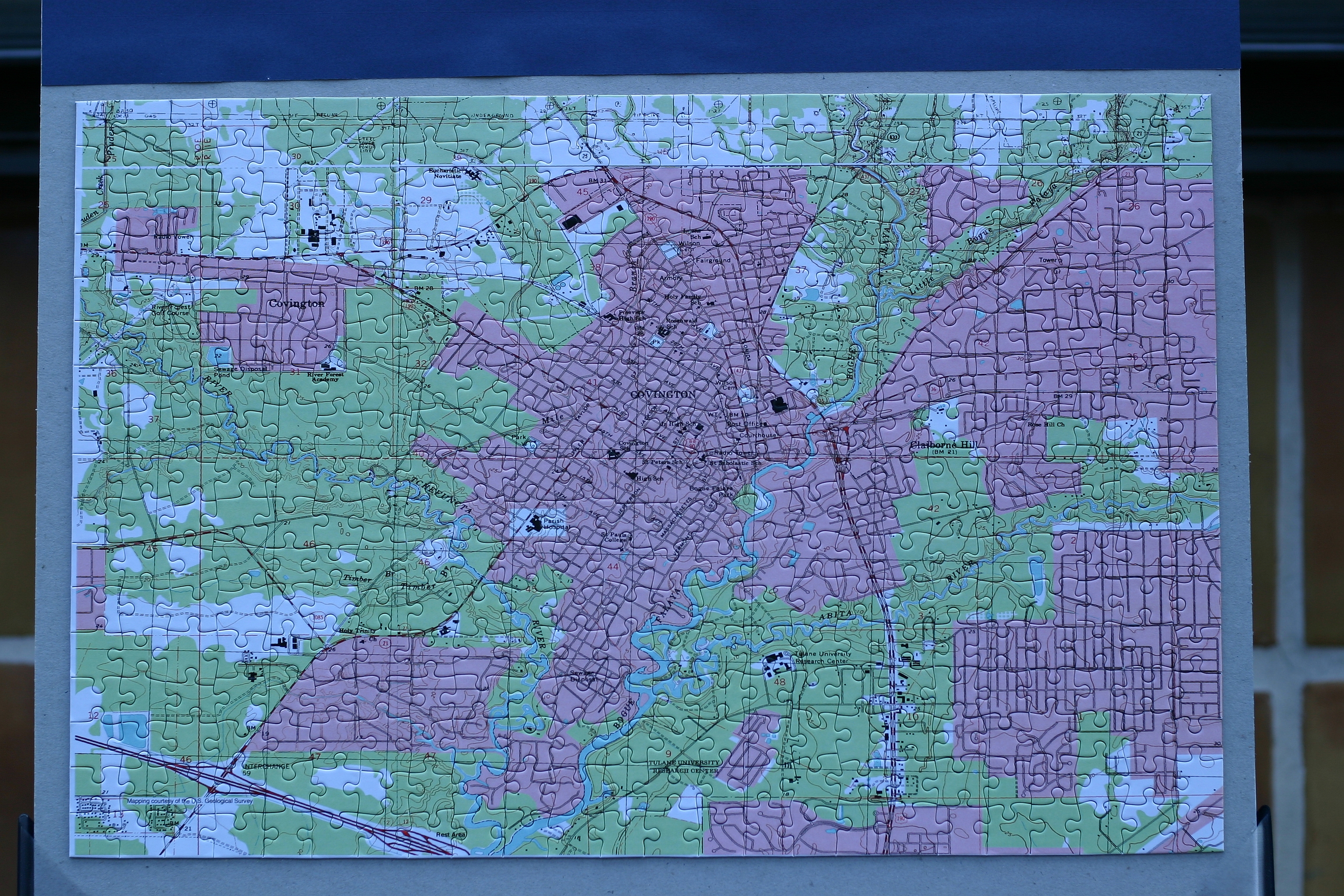
Topographic Map of Military Rd, Covington, LA, USA
Find elevation by address:

Places near Military Rd, Covington, LA, USA:
73640 Military Rd
73640 Military Rd
73640 Military Rd
73640 Military Rd
Rue De Bac
73207 Military Rd
55 Dogwood Ln
113 Grand Lake Dr
72604 Military Rd
19170 Wymer Rd
72407 Kustenmacher Rd
Kustenmacher Road
413 Long Lake Dr
384 Long Lake Dr
384 Long Lake Dr
23522 Long Branch Dr
Abita Springs
Level St, Abita Springs, LA, USA
Hickory Street
72000 Hickory St
Recent Searches:
- Elevation of Erika Dr, Windsor, CA, USA
- Elevation of Village Ln, Finleyville, PA, USA
- Elevation of 24 Oakland Rd #, Scotland, ON N0E 1R0, Canada
- Elevation of Deep Gap Farm Rd E, Mill Spring, NC, USA
- Elevation of Dog Leg Dr, Minden, NV, USA
- Elevation of Dog Leg Dr, Minden, NV, USA
- Elevation of Kambingan Sa Pansol Atbp., Purok 7 Pansol, Candaba, Pampanga, Philippines
- Elevation of Pinewood Dr, New Bern, NC, USA
- Elevation of Mountain View, CA, USA
- Elevation of Foligno, Province of Perugia, Italy