Elevation of Long Lake Dr, Covington, LA, USA
Location: United States > Louisiana > St. Tammany Parish > > Covington >
Longitude: -90.021318
Latitude: 30.504104
Elevation: 13m / 43feet
Barometric Pressure: 101KPa
Elevation Map:
Satellite Map:
Related Photos:

Light in the Woods 3

Adolescent Manky Mallard Clutch

Foggy Morning With Birds

My first and Very Late To The Party Viewing of THE AVENGERS!!!
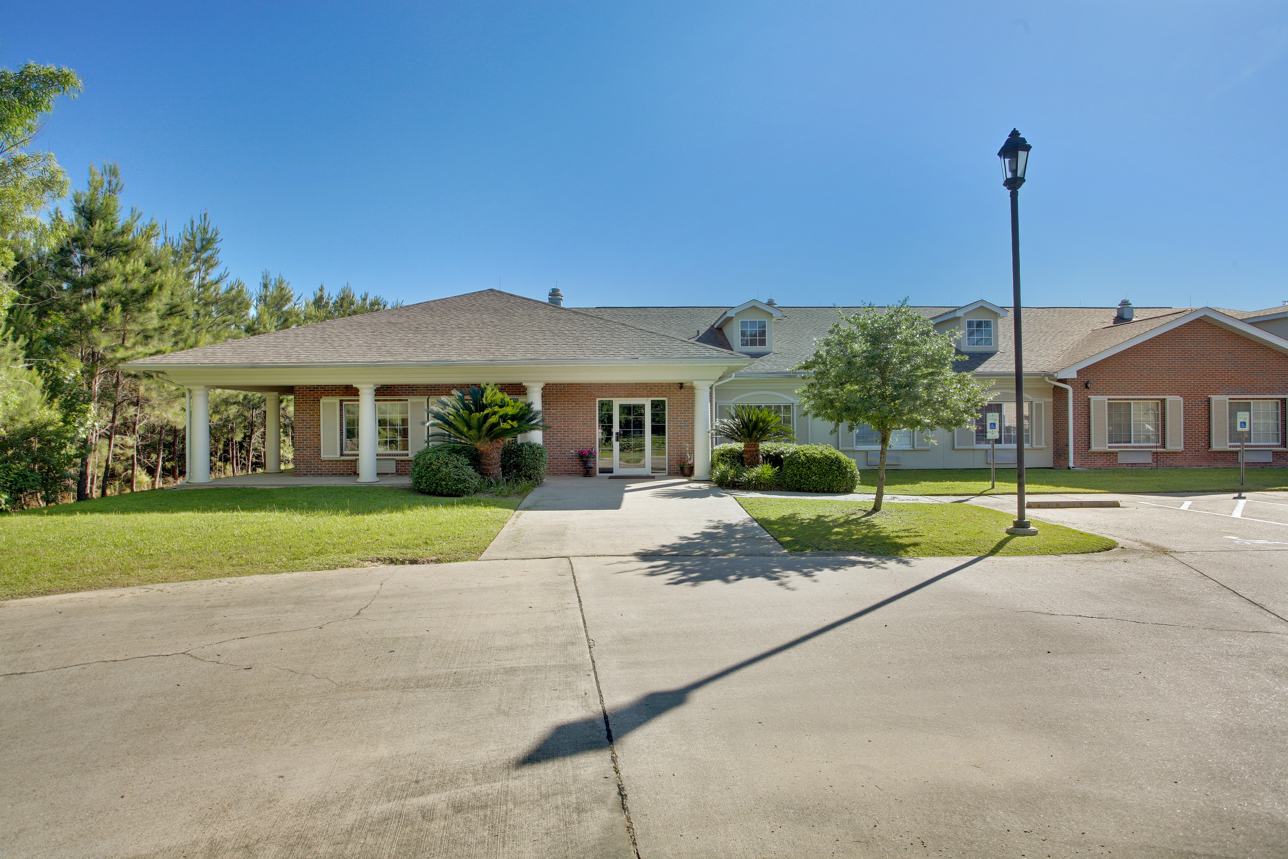
Emeritus at Mandeville
Covington, Louisiana

First Light

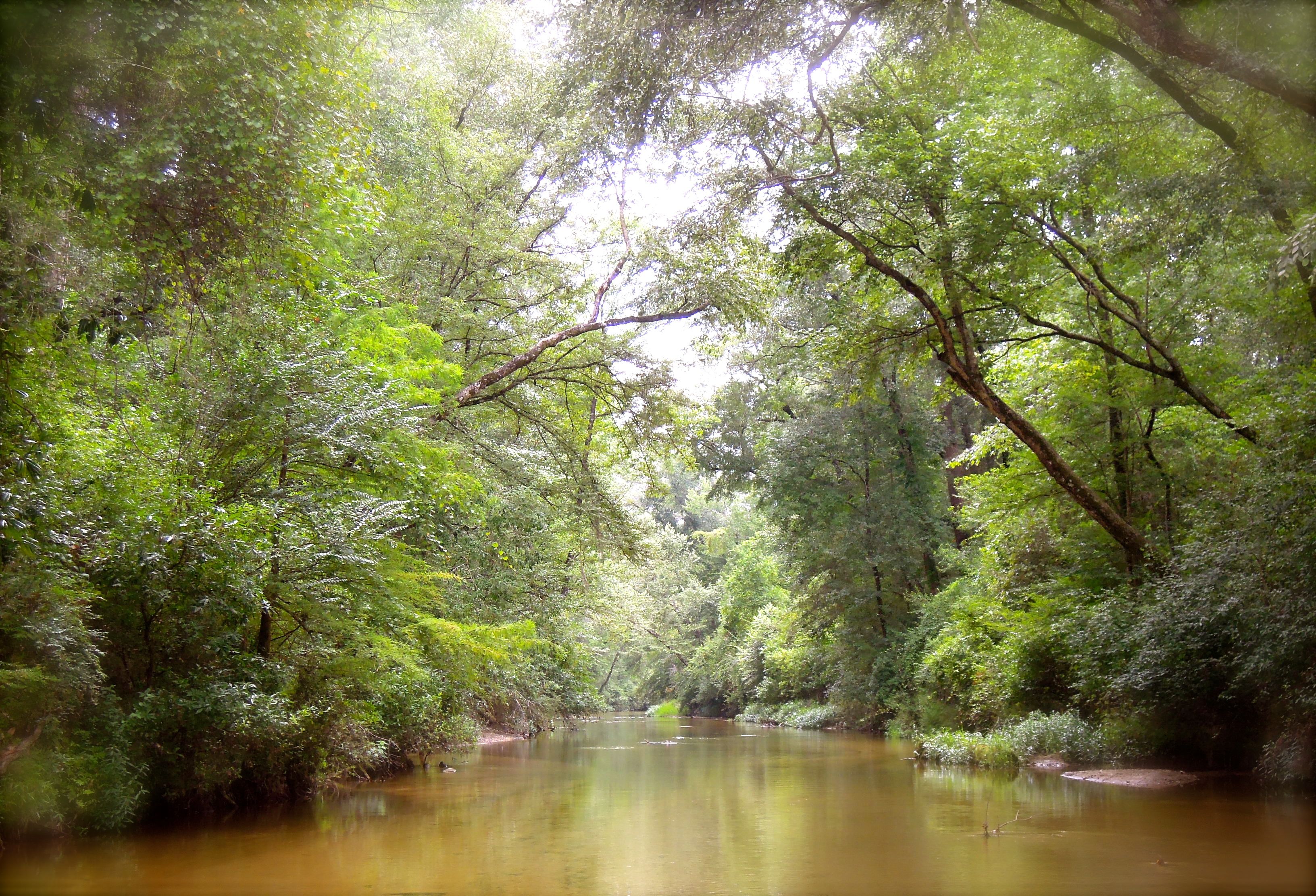
Flooded Creek

Misty Morning Forest

Foggy Pine Savanna

Morning Forest

Fairy Light 5

Flooded Forest

Hazy Morning Forest

Foggy Pine Savanna

Flooded Flatwoods

Misty Pine Savanna

Abita River Rainbows

Tree's

Sunbeams and Turkey Oak

Foggy Autumn Woods

Foggy Autumn Boardwalk

Foggy Autumn Boardwalk 2

Fog at the Flatwoods

Fairy Light 10
bogue falaya
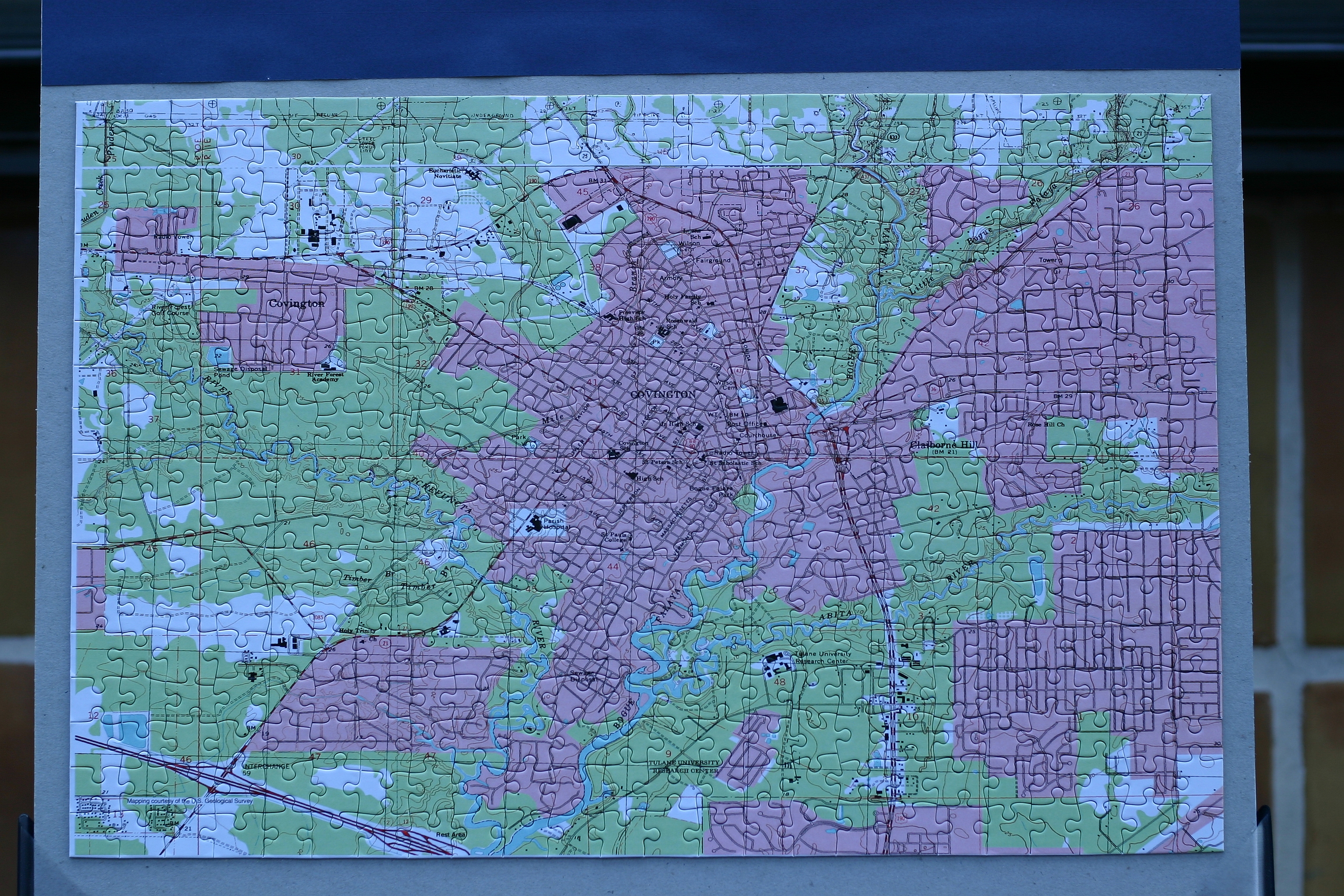
Topographic Map of Long Lake Dr, Covington, LA, USA
Find elevation by address:

Places near Long Lake Dr, Covington, LA, USA:
384 Long Lake Dr
413 Long Lake Dr
113 Grand Lake Dr
23522 Long Branch Dr
Hickory Street
Level St, Abita Springs, LA, USA
Abita Springs
72000 Hickory St
74327 Military Rd
72407 Kustenmacher Rd
73640 Military Rd
73640 Military Rd
73640 Military Rd
73640 Military Rd
Kustenmacher Road
Hebert Road
Hebert Road
Hebert Road
73207 Military Rd
Rue De Bac
Recent Searches:
- Elevation of 7 Waterfall Way, Tomball, TX, USA
- Elevation of SW 57th Ave, Portland, OR, USA
- Elevation of Crocker Dr, Vacaville, CA, USA
- Elevation of Pu Ngaol Community Meeting Hall, HWHM+3X7, Krong Saen Monourom, Cambodia
- Elevation of Royal Ontario Museum, Queens Park, Toronto, ON M5S 2C6, Canada
- Elevation of Groblershoop, South Africa
- Elevation of Power Generation Enterprises | Industrial Diesel Generators, Oak Ave, Canyon Country, CA, USA
- Elevation of Chesaw Rd, Oroville, WA, USA
- Elevation of N, Mt Pleasant, UT, USA
- Elevation of 6 Rue Jules Ferry, Beausoleil, France