Elevation of Military Rd, Covington, LA, USA
Location: United States > Louisiana > St. Tammany Parish > >
Longitude: -90.059804
Latitude: 30.5018249
Elevation: 10m / 33feet
Barometric Pressure: 101KPa
Elevation Map:
Satellite Map:
Related Photos:

Light in the Woods 3

The Road Home

Drifting Into Nightfall

Foggy Morning With Birds
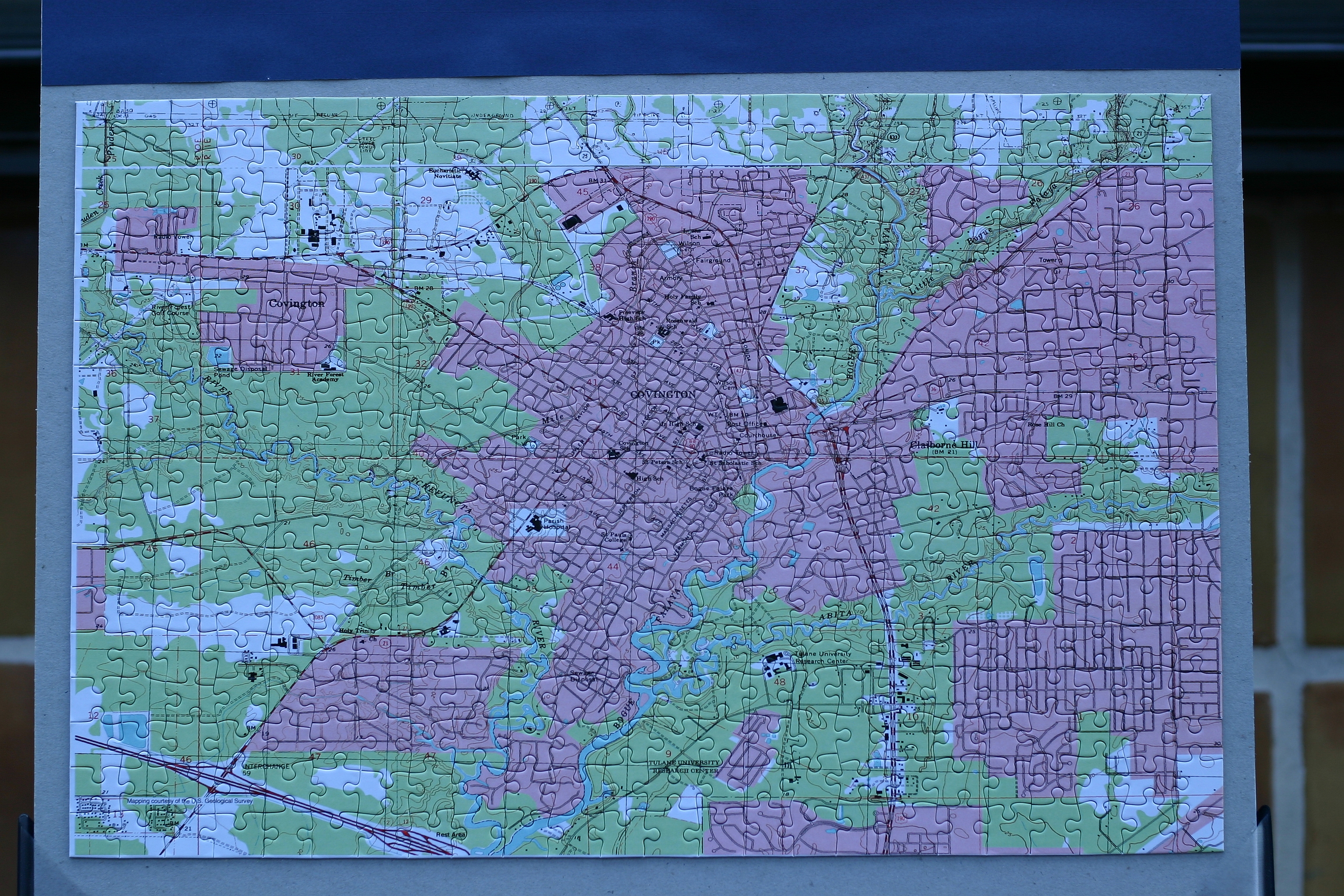
Covington, Louisiana
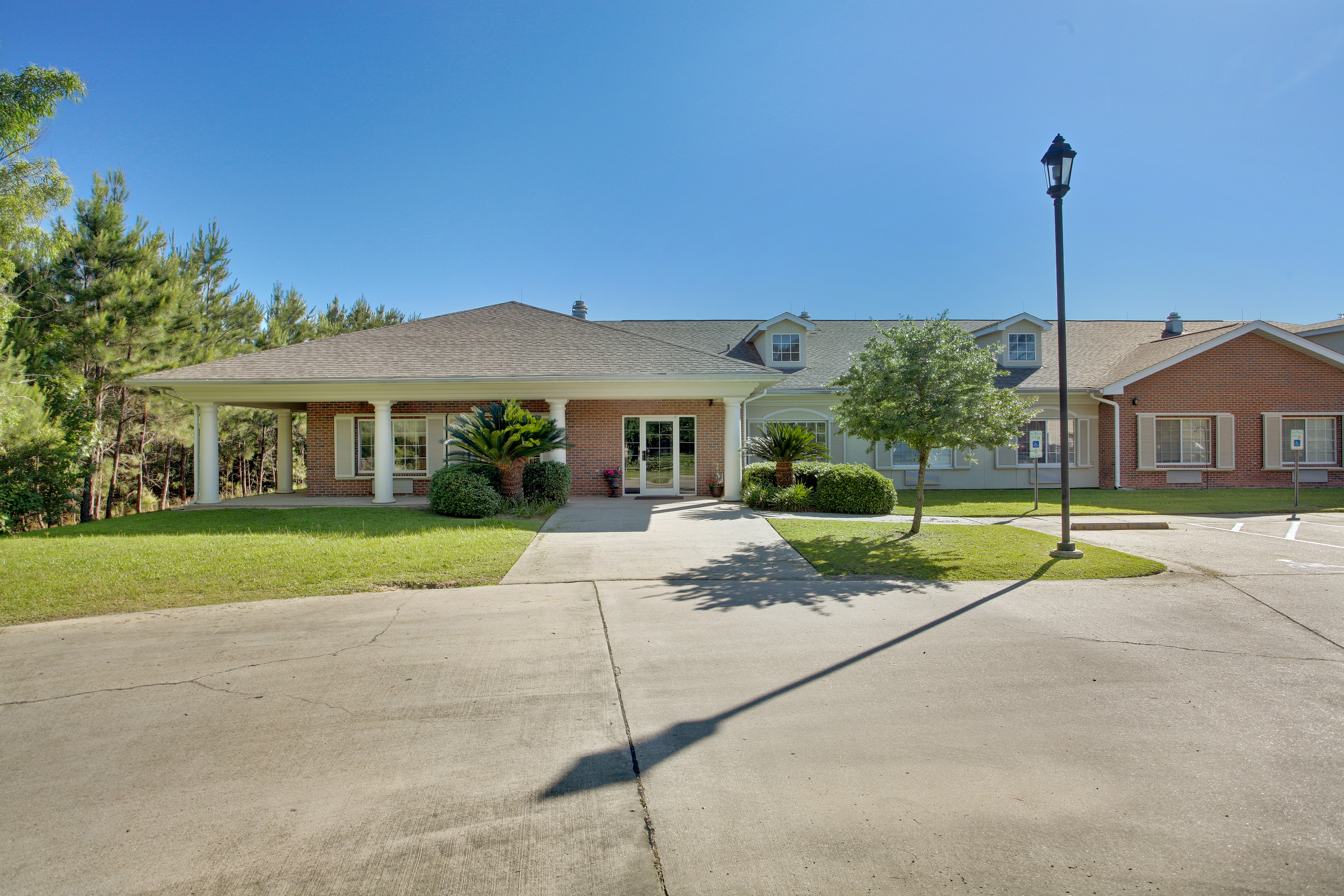
Emeritus at Mandeville

Forest at Dawn

Summer Morning Forest

Morning Forest

Forest Sunrise

Flooded Forest

Fairy Light 8

Misty Morning Forest 3

Light at the Flatwoods

First Light

Flooded Creek

Misty Morning Forest

Foggy Pine Savanna 2

Foggy Pine Savanna

Sunrise in the Neighborhood

Misty Morning Forest 2 (Explored)

Foggy Autumn Woods

Fairy Light

Light in the Woods 2

Foggy Autumn Boardwalk

Fairy Light 5
Topographic Map of Military Rd, Covington, LA, USA
Find elevation by address:

Places near Military Rd, Covington, LA, USA:
73640 Military Rd
73640 Military Rd
73640 Military Rd
74327 Military Rd
73207 Military Rd
55 Dogwood Ln
72604 Military Rd
Kustenmacher Road
Rue De Bac
72407 Kustenmacher Rd
1 Sulphur Springs St
Abita Springs
Level St, Abita Springs, LA, USA
19170 Wymer Rd
Hickory Street
72000 Hickory St
125 Honeysuckle Dr
124 Primrose Dr
113 Grand Lake Dr
122 Primrose Dr
Recent Searches:
- Elevation of Vista Blvd, Sparks, NV, USA
- Elevation of 15th Ave SE, St. Petersburg, FL, USA
- Elevation of Beall Road, Beall Rd, Florida, USA
- Elevation of Leguwa, Nepal
- Elevation of County Rd, Enterprise, AL, USA
- Elevation of Kolchuginsky District, Vladimir Oblast, Russia
- Elevation of Shustino, Vladimir Oblast, Russia
- Elevation of Lampiasi St, Sarasota, FL, USA
- Elevation of Elwyn Dr, Roanoke Rapids, NC, USA
- Elevation of Congressional Dr, Stevensville, MD, USA