Elevation of 55 Dogwood Ln, Covington, LA, USA
Location: United States > Louisiana > St. Tammany Parish > >
Longitude: -90.077113
Latitude: 30.503324
Elevation: 8m / 26feet
Barometric Pressure: 101KPa
Elevation Map:
Satellite Map:
Related Photos:

Drifting Into Nightfall

The Road Home

Foggy Morning With Birds
Covington, Louisiana
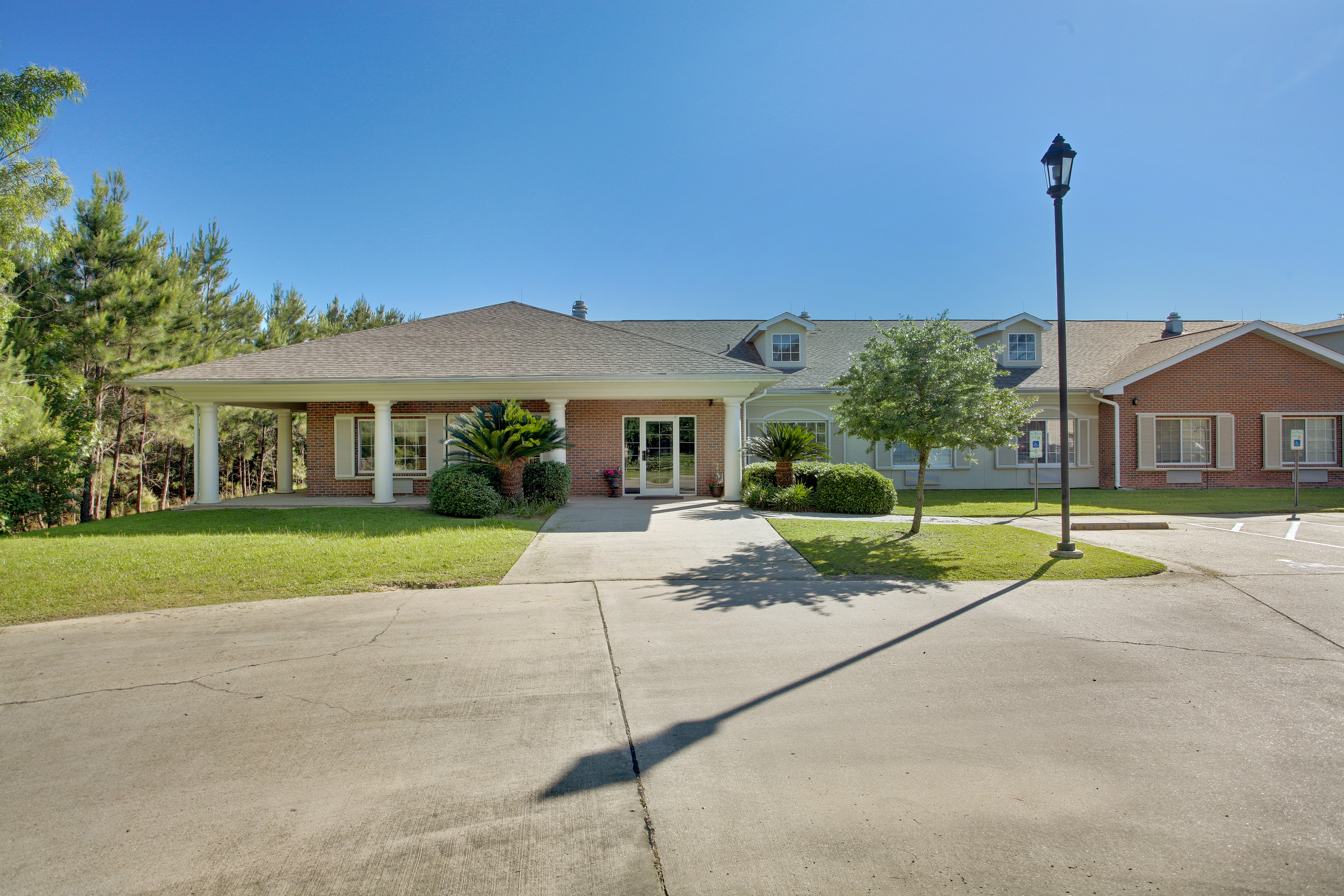
Emeritus at Mandeville

Light in the Woods 3

Misty Morning Forest 3

Light at the Flatwoods

First Light

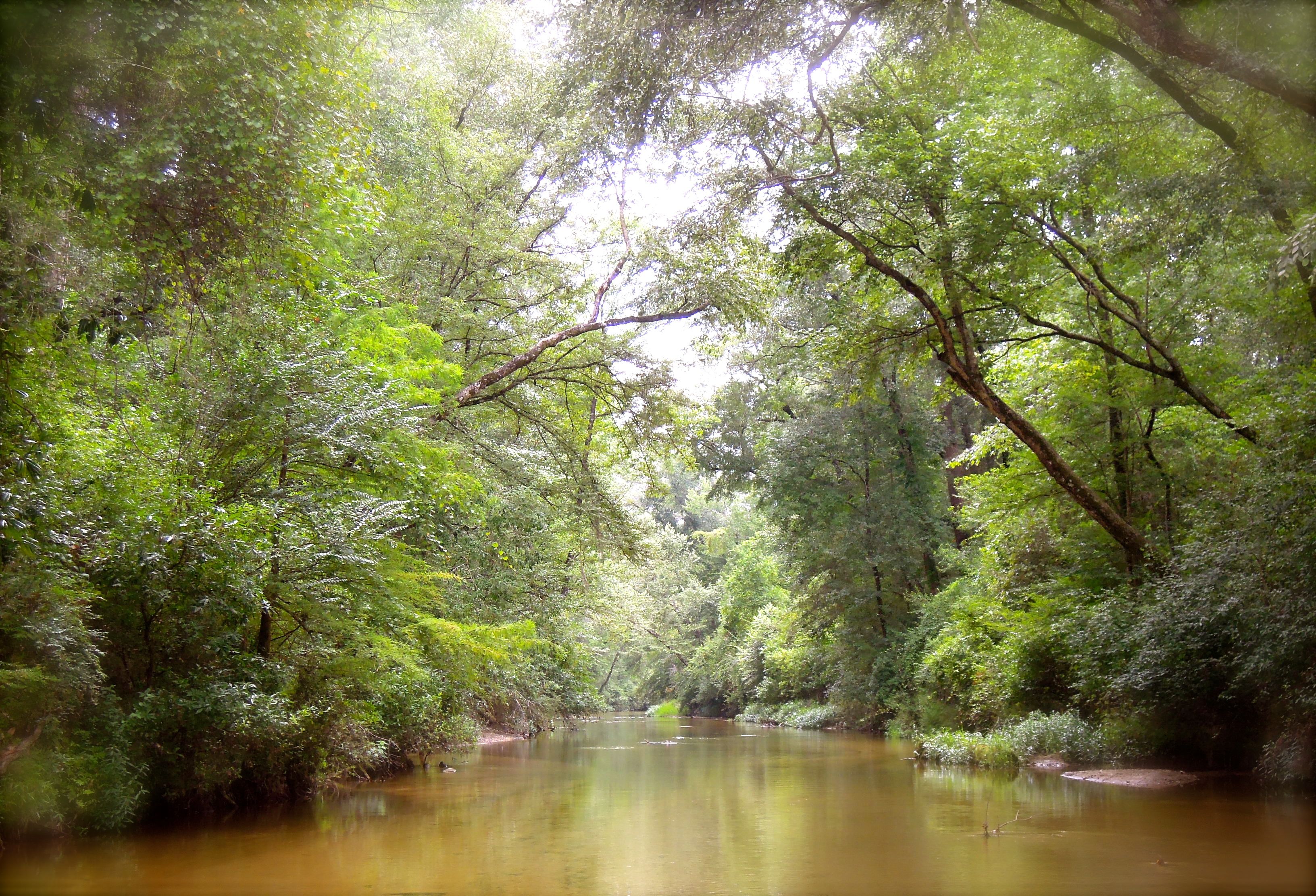
Flooded Creek

Misty Morning Forest

Foggy Pine Savanna 2

Foggy Pine Savanna

Forest at Dawn

Misty Morning Forest 2 (Explored)

Foggy Autumn Woods

Fairy Light

Summer Morning Forest

Morning Forest
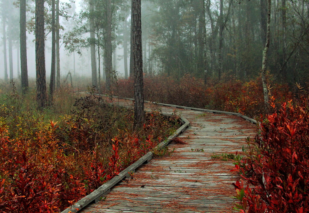
Foggy Autumn Boardwalk

Fairy Light 5

Forest Sunrise

Flooded Road
bogue falaya

Fairy Light 10

Foggy Woods at Dawn
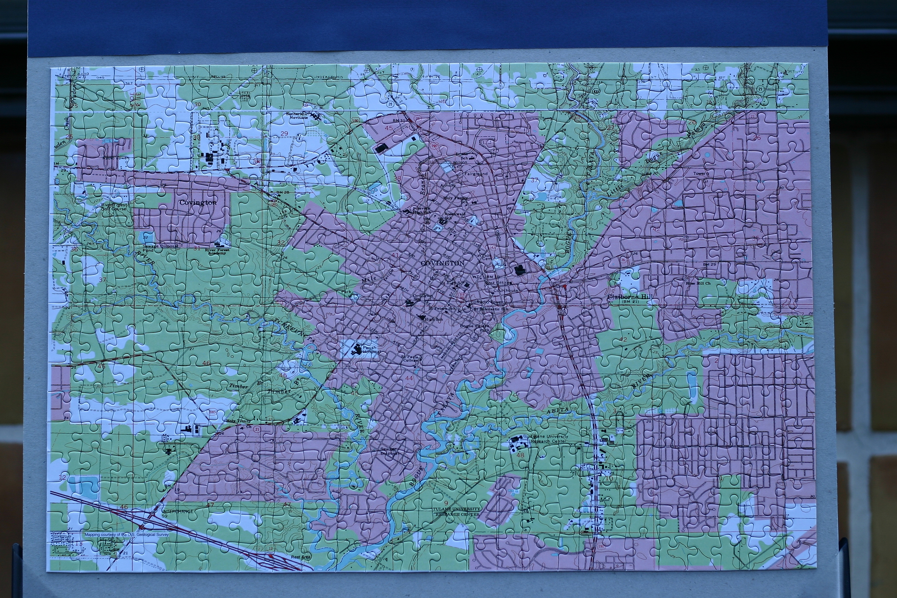
Topographic Map of 55 Dogwood Ln, Covington, LA, USA
Find elevation by address:

Places near 55 Dogwood Ln, Covington, LA, USA:
73207 Military Rd
72604 Military Rd
73640 Military Rd
73640 Military Rd
73640 Military Rd
73640 Military Rd
1 Sulphur Springs St
19170 Wymer Rd
123 Wharton St
409 Branch Crossing Dr
74327 Military Rd
1301 N Florida St
Rue De Bac
US- BUS, Covington, LA, USA
18621 Hosmer Mill Rd
Covington
Kustenmacher Road
124 Primrose Dr
125 Honeysuckle Dr
122 Primrose Dr
Recent Searches:
- Elevation of Hickory St, Greenville, NC, USA
- Elevation of Poplar Ln, Guffey, CO, USA
- Elevation of Falling Spring Rd, Clyde, NC, USA
- Elevation of Kingsfield St, Castle Rock, CO, USA
- Elevation of AMELIA CT HSE, VA, USA
- Elevation of Abbey Dr, Virginia Beach, VA, USA
- Elevation of Brooks Lp, Spearfish, SD, USA
- Elevation of Panther Dr, Maggie Valley, NC, USA
- Elevation of Jais St - Wadi Shehah - Ras al Khaimah - United Arab Emirates
- Elevation of Shawnee Avenue, Shawnee Ave, Easton, PA, USA