Elevation map of McKenzie County, ND, USA
Location: United States > North Dakota >
Longitude: -103.41224
Latitude: 47.7714179
Elevation: 694m / 2277feet
Barometric Pressure: 93KPa
Elevation Map:
Satellite Map:
Related Photos:

View with Petrified Log
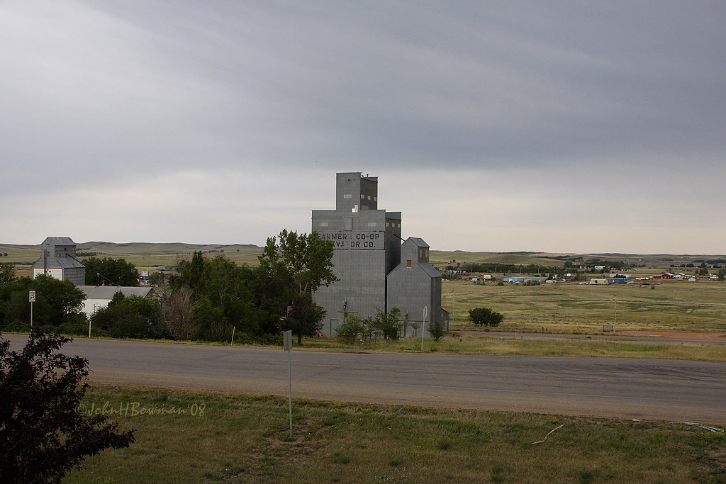
Twilight Sentinels - North Dakota Grain Elevators

Final rest or...?
091003-014G
091003-008G
091003-015G
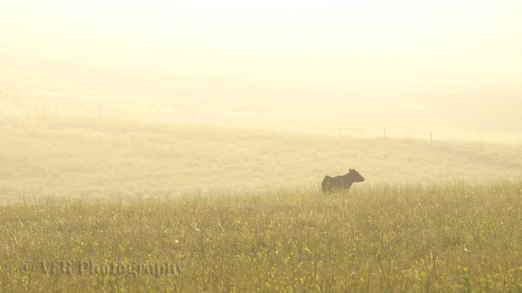
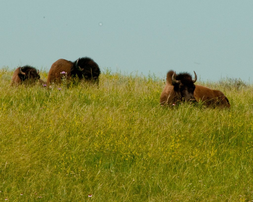
Apart from the herd...
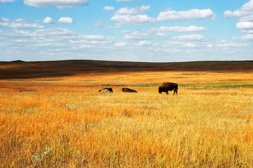
Bison on the Plains

GlacierTrip_2010 (9 of 139)
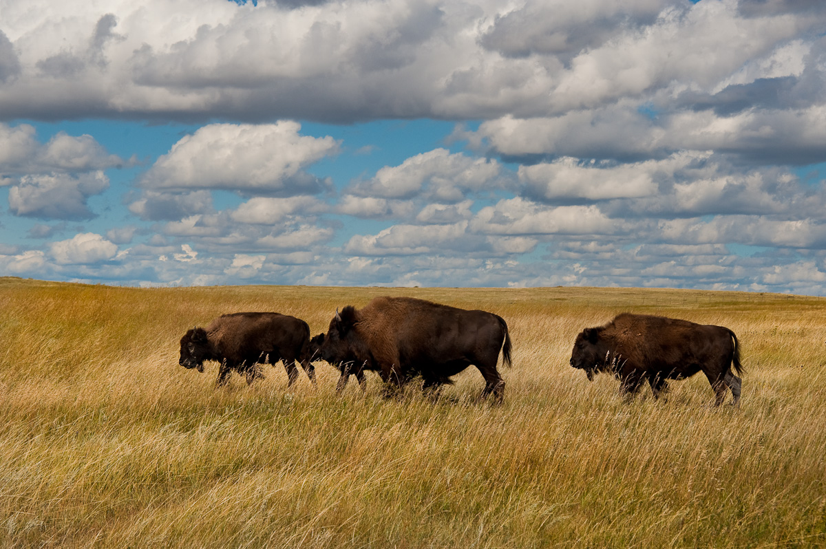
Buffalo Plains
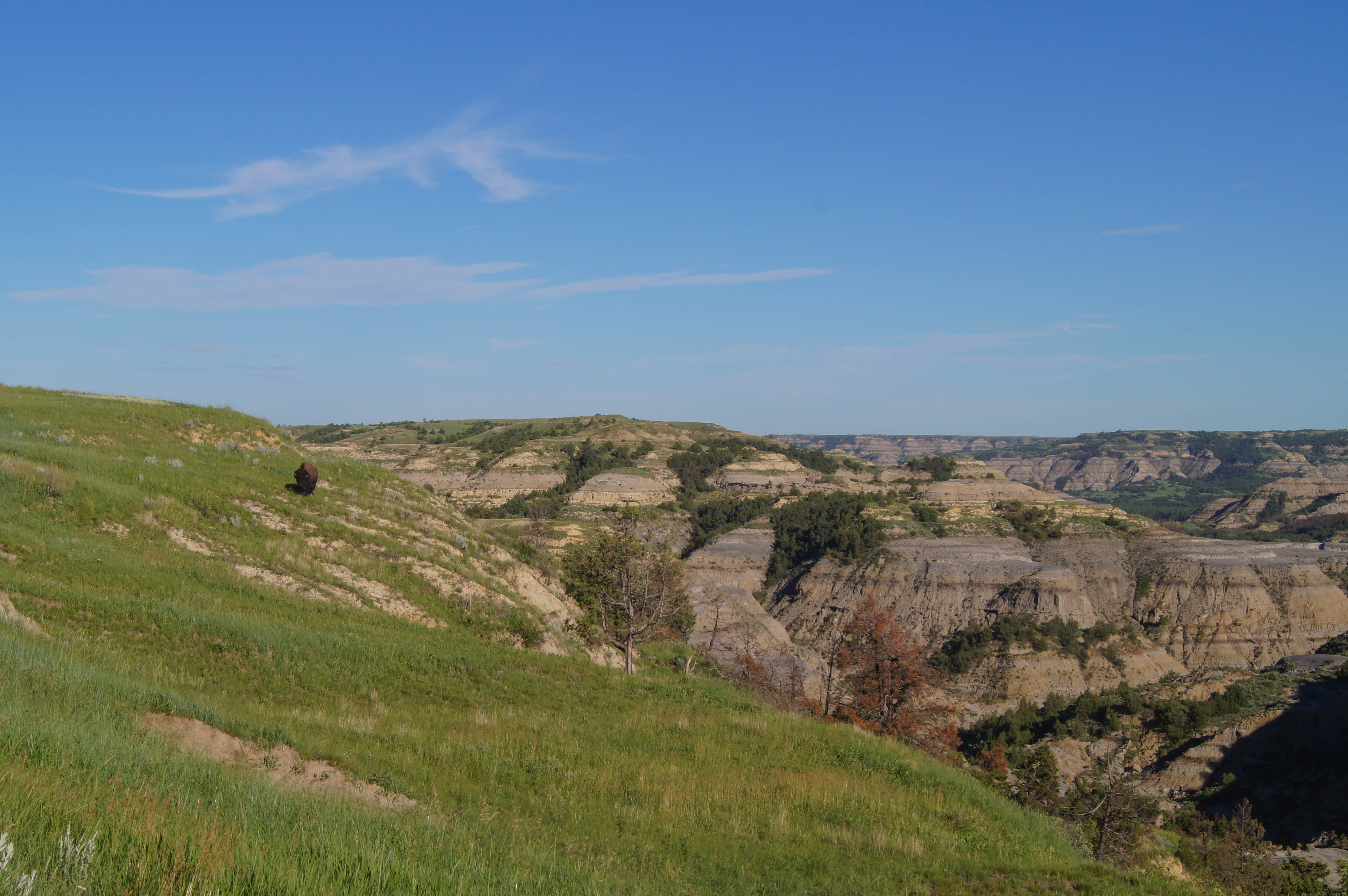
"Lone Grazing Buffalo" - Theodore Roosevelt National Park

scenic as fuq
GlacierTrip_2010 (10 of 139)
Topographic Map of McKenzie County, ND, USA
Find elevation by address:

Places in McKenzie County, ND, USA:
Places near McKenzie County, ND, USA:
Watford City
Central Mckenzie
Watford City, ND, USA
North Billings
Billings County
4851 E River Rd
Killdeer
Killdeer Mountain Manufacturing
Theodore Roosevelt National Park
Golden Valley County
Medora
Broadway, Medora, ND, USA
Dunn County
3565 130th Ave Sw
3565 130th Ave Sw
Belfield
West Stark
11126 30g St Sw
Beach
11471 Hwy 10 W
Recent Searches:
- Elevation of Tenjo, Cundinamarca, Colombia
- Elevation of Côte-des-Neiges, Montreal, QC H4A 3J6, Canada
- Elevation of Bobcat Dr, Helena, MT, USA
- Elevation of Zu den Ihlowbergen, Althüttendorf, Germany
- Elevation of Badaber, Peshawar, Khyber Pakhtunkhwa, Pakistan
- Elevation of SE Heron Loop, Lincoln City, OR, USA
- Elevation of Slanický ostrov, 01 Námestovo, Slovakia
- Elevation of Spaceport America, Co Rd A, Truth or Consequences, NM, USA
- Elevation of Warwick, RI, USA
- Elevation of Fern Rd, Whitmore, CA, USA