Elevation of Golden Valley County, ND, USA
Location: United States > North Dakota >
Longitude: -103.79141
Latitude: 47.0077031
Elevation: 828m / 2717feet
Barometric Pressure: 92KPa
Elevation Map:
Satellite Map:
Related Photos:
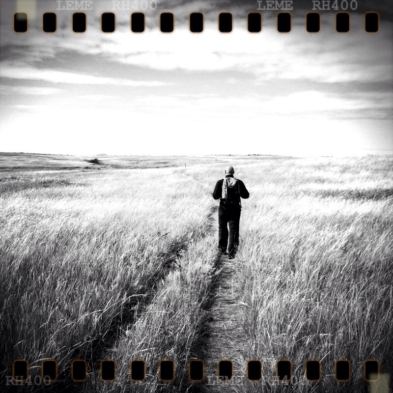
Silent watch on the verge of Spring

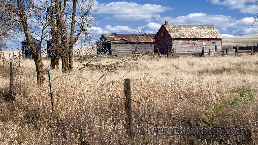
Standing the test of time
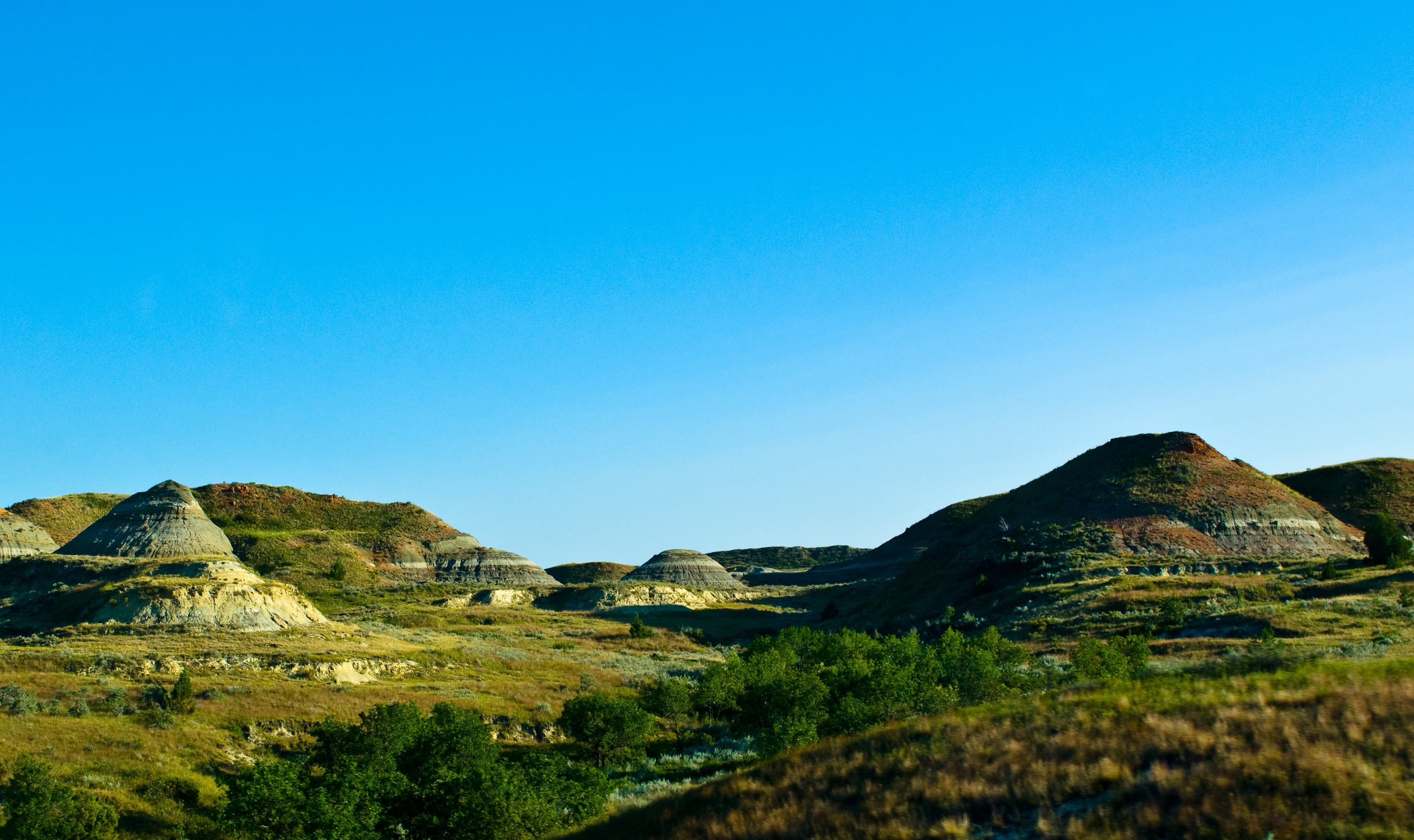
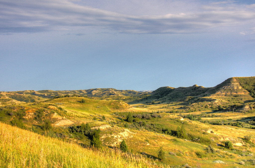
Badlands; North Dakota
<3
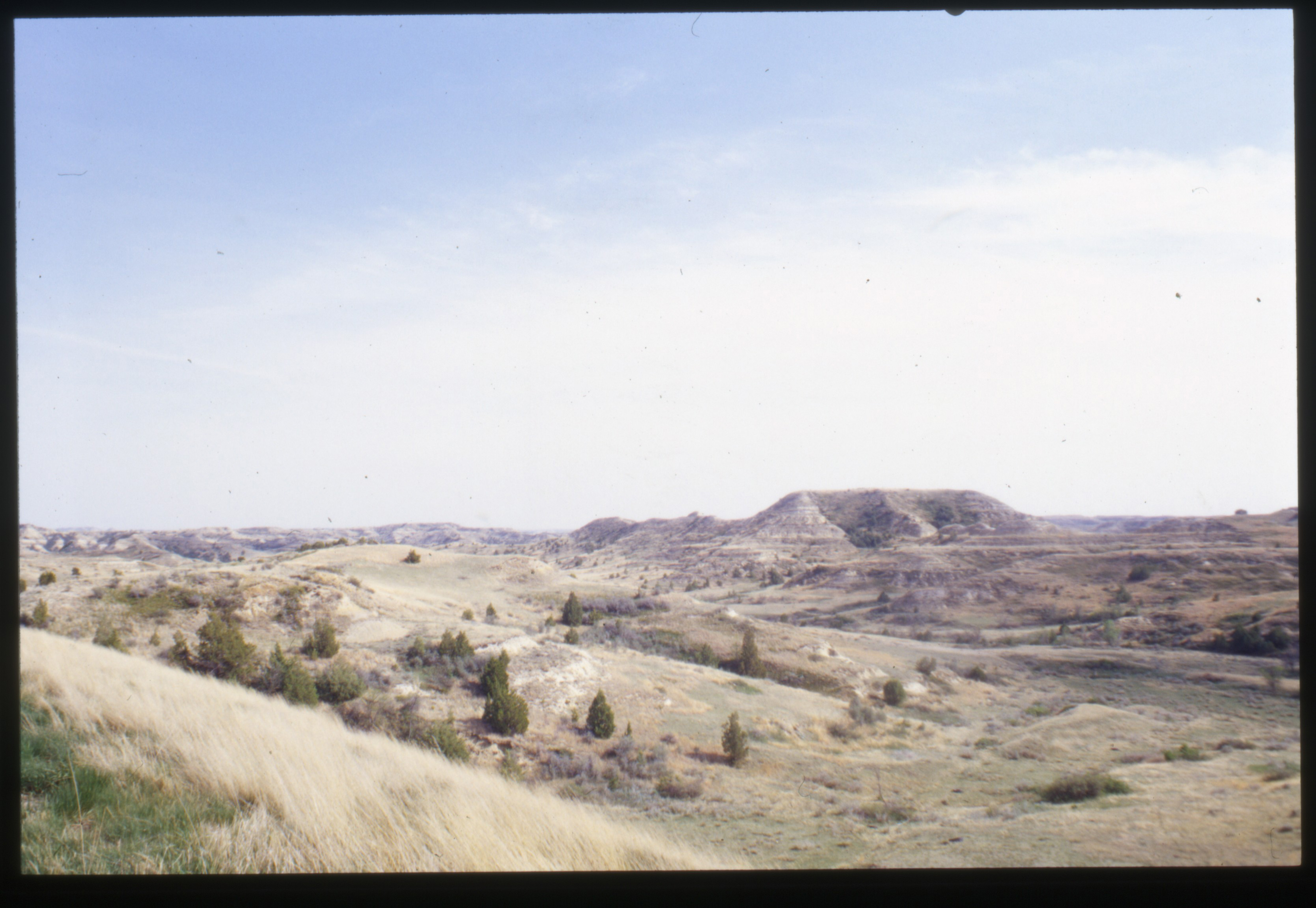
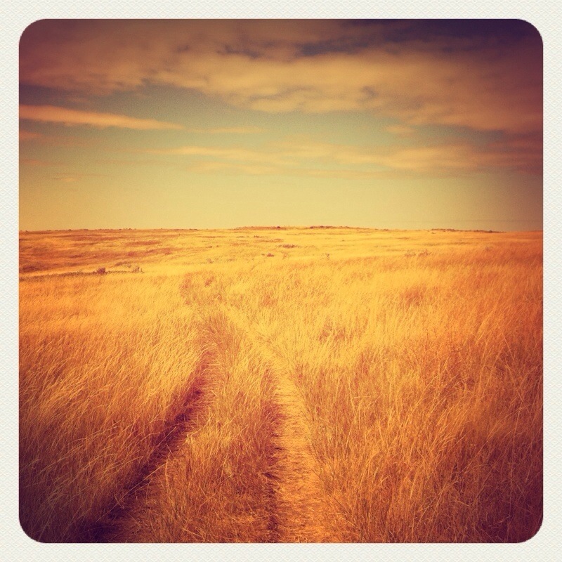
Starting to look a little badland-y
North Dakota
North Dakota
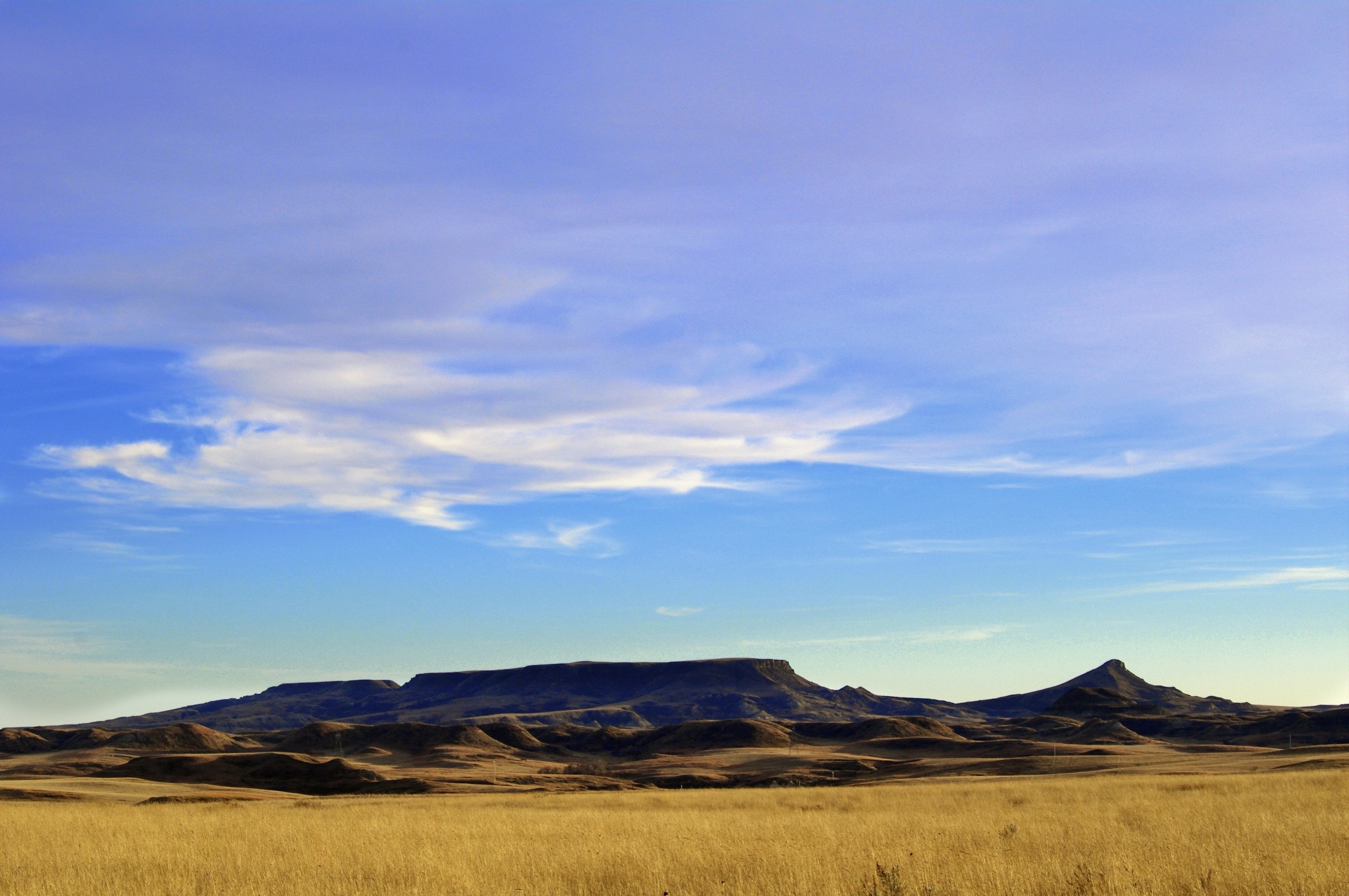
Square Butte - Version 2

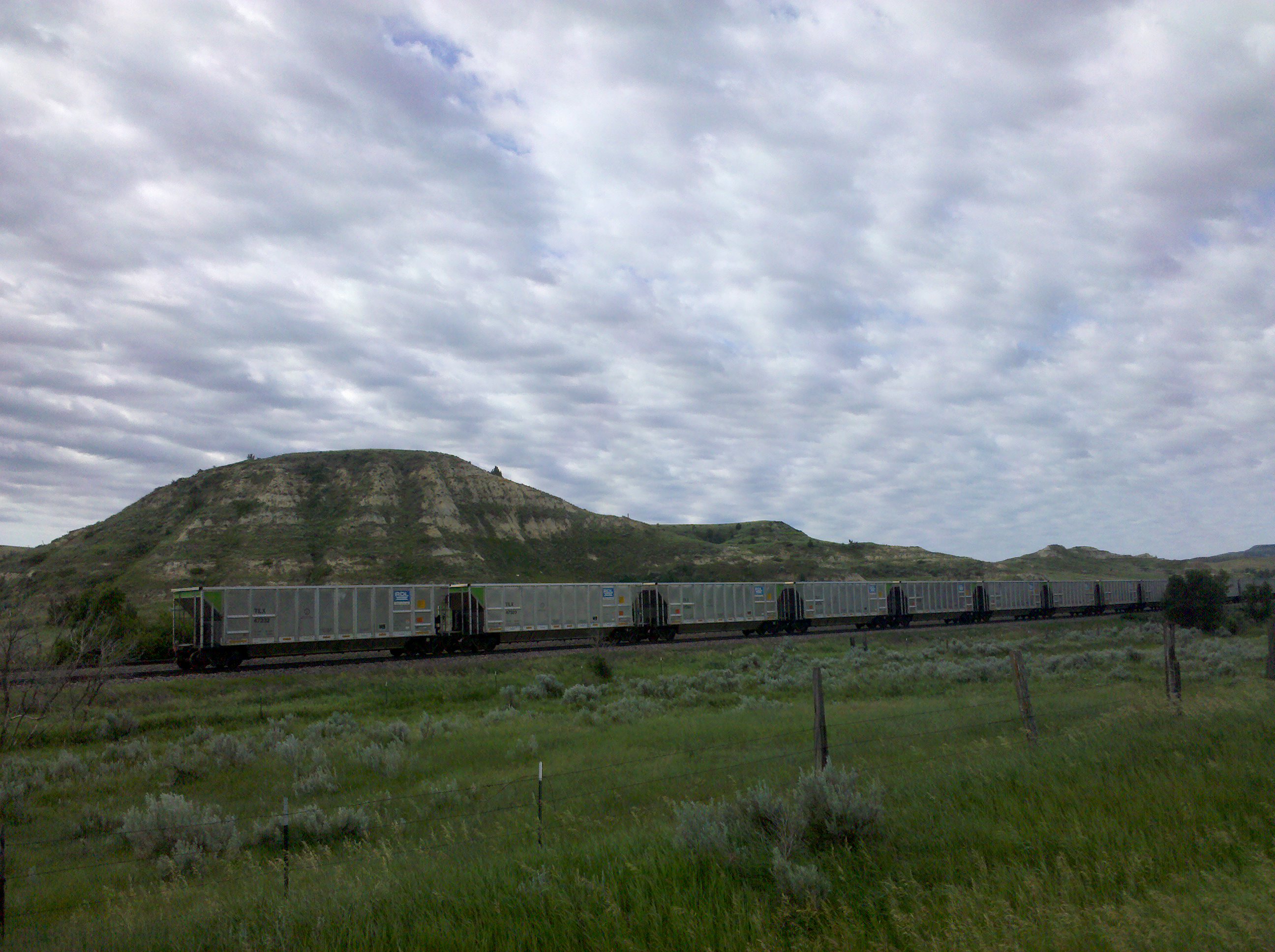
Bakken Crude Oil Train
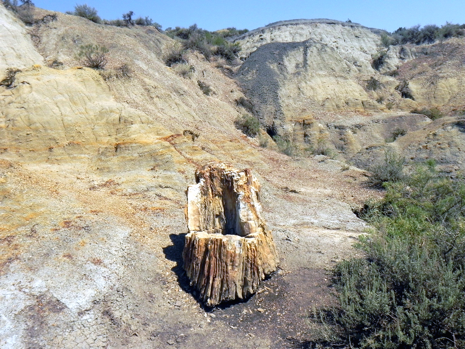
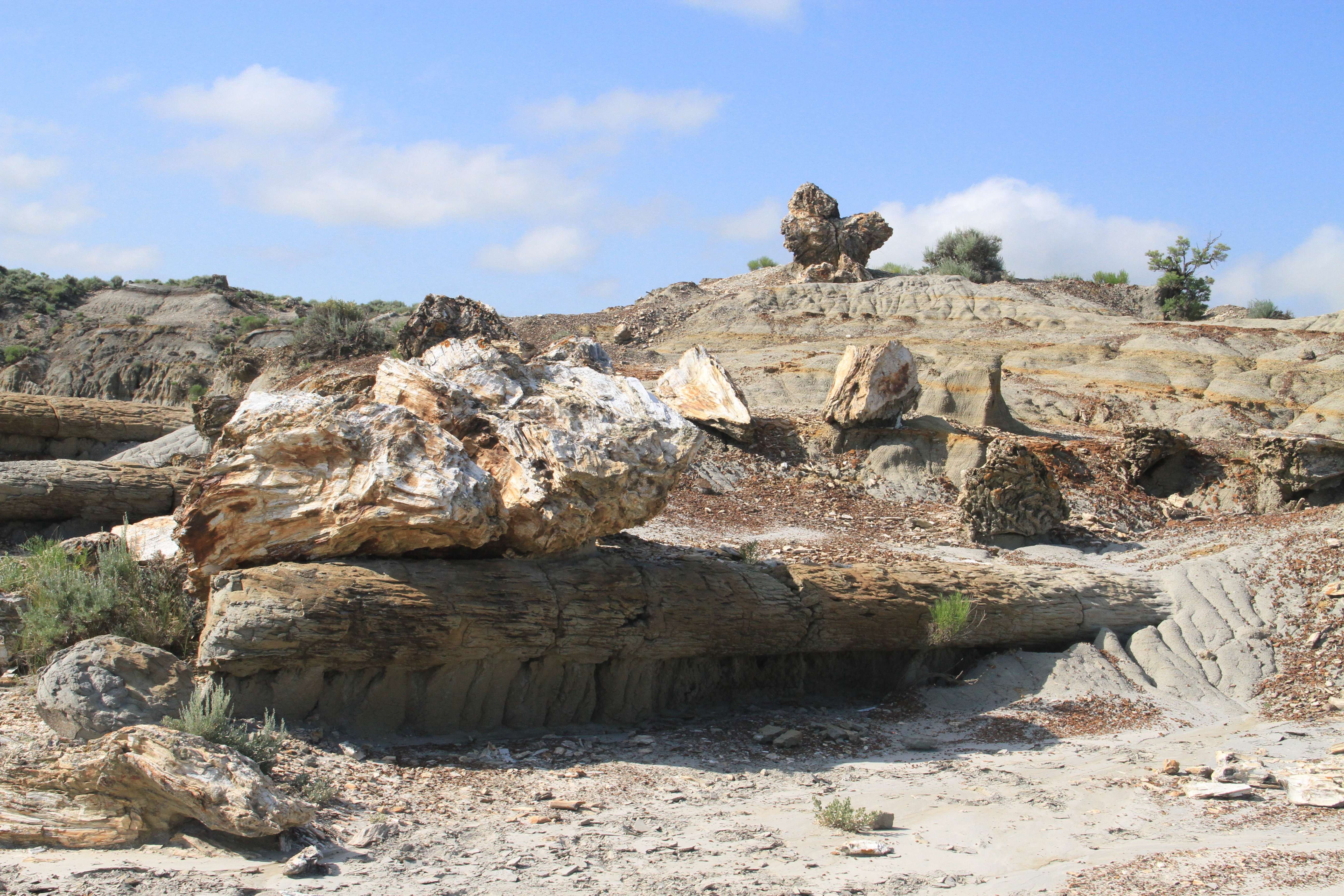
Petrified!

2009-06-12-Badlands-8972

2009-06-12-Badlands-8978

2009-06-12-Badlands-8988

2009-06-12-Badlands-8990

130704 Petrified Forest Trail
130704 Petrified Forest Trail

2009-06-12-Badlands-9022
Empty coal cars
130704 Petrified Forest Trail

2009-06-12-Badlands-8960
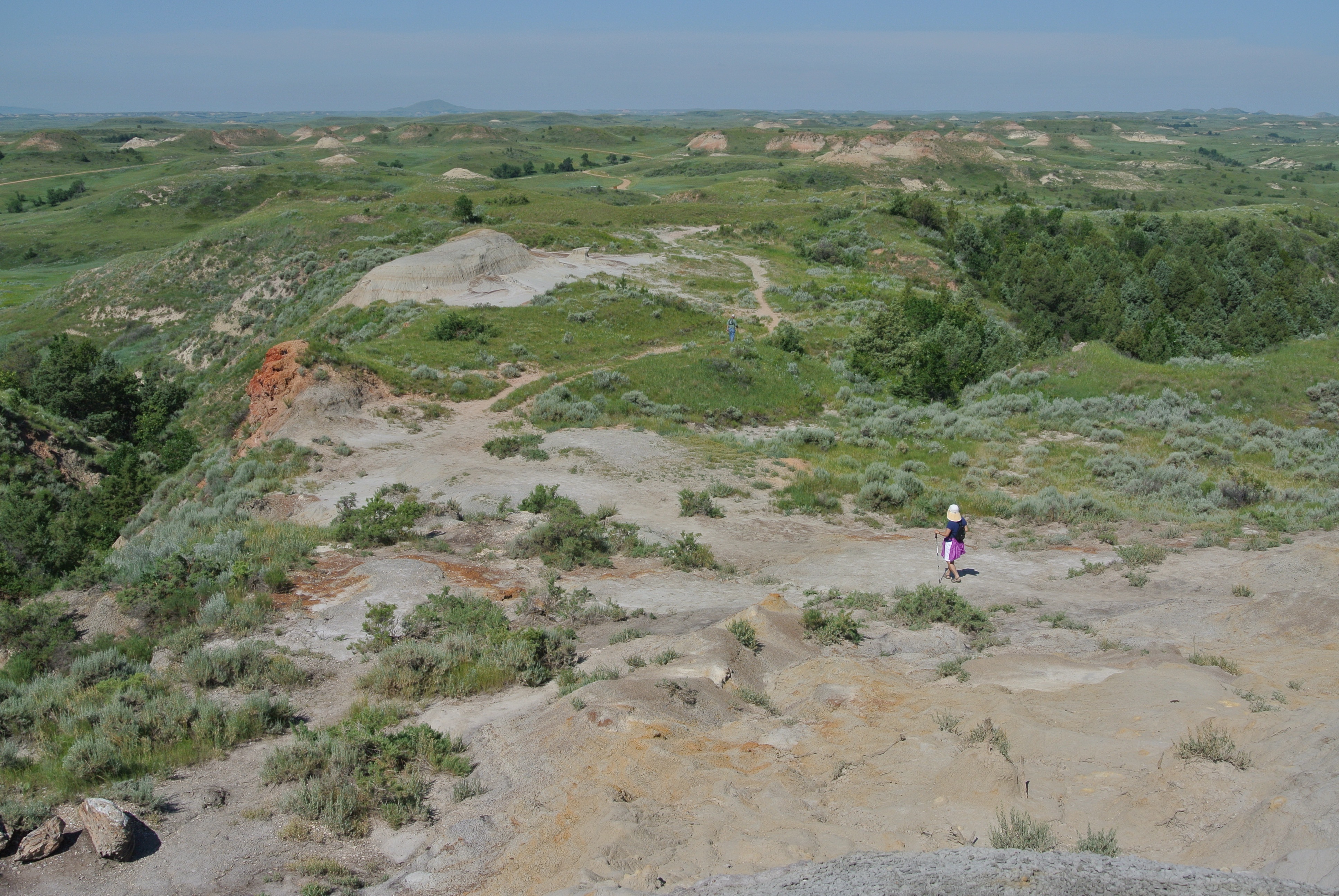
130704 Petrified Forest Trail
Topographic Map of Golden Valley County, ND, USA
Find elevation by address:

Places in Golden Valley County, ND, USA:
Places near Golden Valley County, ND, USA:
Beach
22 S Central Ave, Beach, ND, USA
Theodore Roosevelt National Park
4851 E River Rd
Medora
Broadway, Medora, ND, USA
North Billings
Billings County
Northwest Slope
Burning Coal Vein Campground
Belfield
3565 130th Ave Sw
3565 130th Ave Sw
Slope County
West Stark
Amidon
Mckenzie County
Central Mckenzie
11471 Hwy 10 W
Watford City
Recent Searches:
- Elevation of Gateway Blvd SE, Canton, OH, USA
- Elevation of East W.T. Harris Boulevard, E W.T. Harris Blvd, Charlotte, NC, USA
- Elevation of West Sugar Creek, Charlotte, NC, USA
- Elevation of Wayland, NY, USA
- Elevation of Steadfast Ct, Daphne, AL, USA
- Elevation of Lagasgasan, X+CQH, Tiaong, Quezon, Philippines
- Elevation of Rojo Ct, Atascadero, CA, USA
- Elevation of Flagstaff Drive, Flagstaff Dr, North Carolina, USA
- Elevation of Avery Ln, Lakeland, FL, USA
- Elevation of Woolwine, VA, USA