Elevation map of Dunn County, ND, USA
Location: United States > North Dakota >
Longitude: -102.72602
Latitude: 47.2121625
Elevation: 670m / 2198feet
Barometric Pressure: 94KPa
Elevation Map:
Satellite Map:
Related Photos:
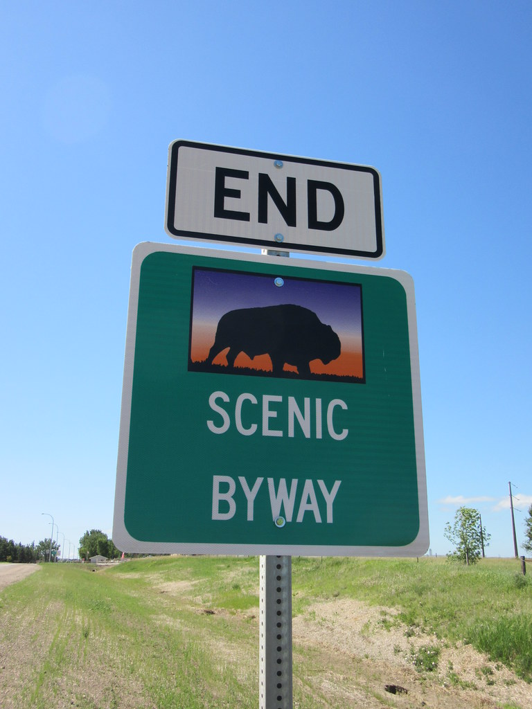
End of scenic byway North Dakota

Post Office 58642 (Manning, North Dakota)

Dunn County Courthouse (Manning, North Dakota)

Dunn County Courthouse (Manning, North Dakota)

Post Office 58642 (Manning, North Dakota)
Topographic Map of Dunn County, ND, USA
Find elevation by address:

Places in Dunn County, ND, USA:
Places near Dunn County, ND, USA:
Killdeer Mountain Manufacturing
Killdeer
11126 30g St Sw
Dickinson North
North Park Campground
4th Avenue East
4th Avenue East
4th Avenue East
1st Avenue East
1st Avenue East
1st Avenue East
13th Street East
3rd Avenue East
15th Avenue East
1334 Empire Rd
Dickinson
11471 Hwy 10 W
11209 47th St Sw
3565 130th Ave Sw
3565 130th Ave Sw
Recent Searches:
- Elevation of Warwick, RI, USA
- Elevation of Fern Rd, Whitmore, CA, USA
- Elevation of 62 Abbey St, Marshfield, MA, USA
- Elevation of Fernwood, Bradenton, FL, USA
- Elevation of Felindre, Swansea SA5 7LU, UK
- Elevation of Leyte Industrial Development Estate, Isabel, Leyte, Philippines
- Elevation of W Granada St, Tampa, FL, USA
- Elevation of Pykes Down, Ivybridge PL21 0BY, UK
- Elevation of Jalan Senandin, Lutong, Miri, Sarawak, Malaysia
- Elevation of Bilohirs'k