Elevation of Cartwright, ND, USA
Location: United States > North Dakota > Mckenzie County >
Longitude: -103.92631
Latitude: 47.8597415
Elevation: 582m / 1909feet
Barometric Pressure: 95KPa
Elevation Map:
Satellite Map:
Related Photos:
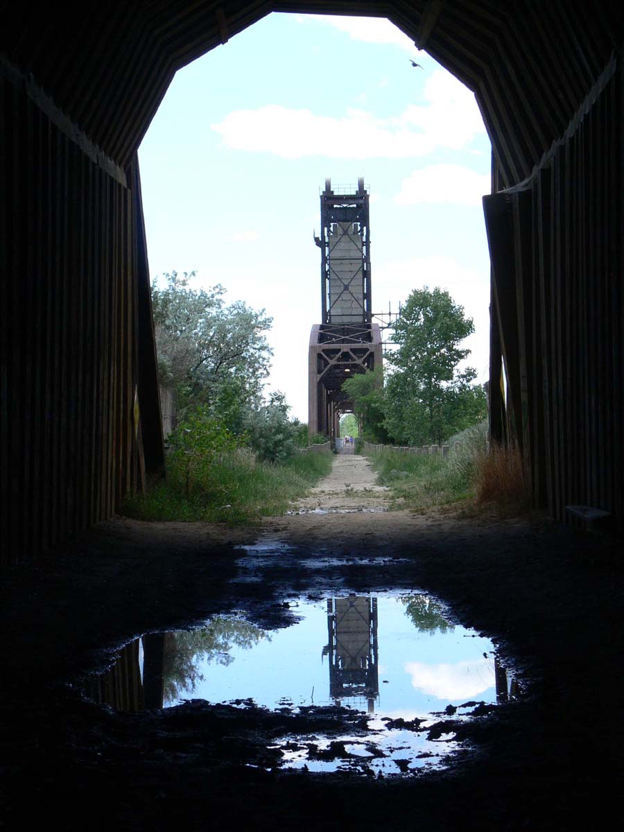
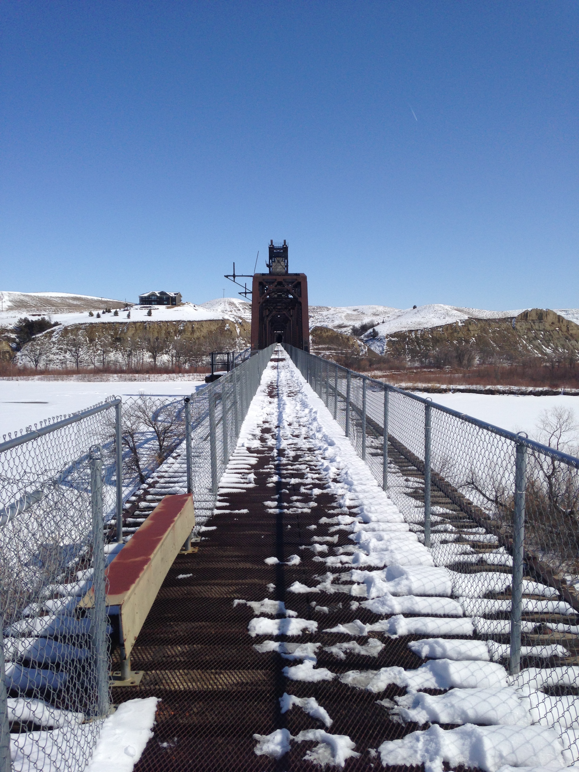
Cartwright Tunnel
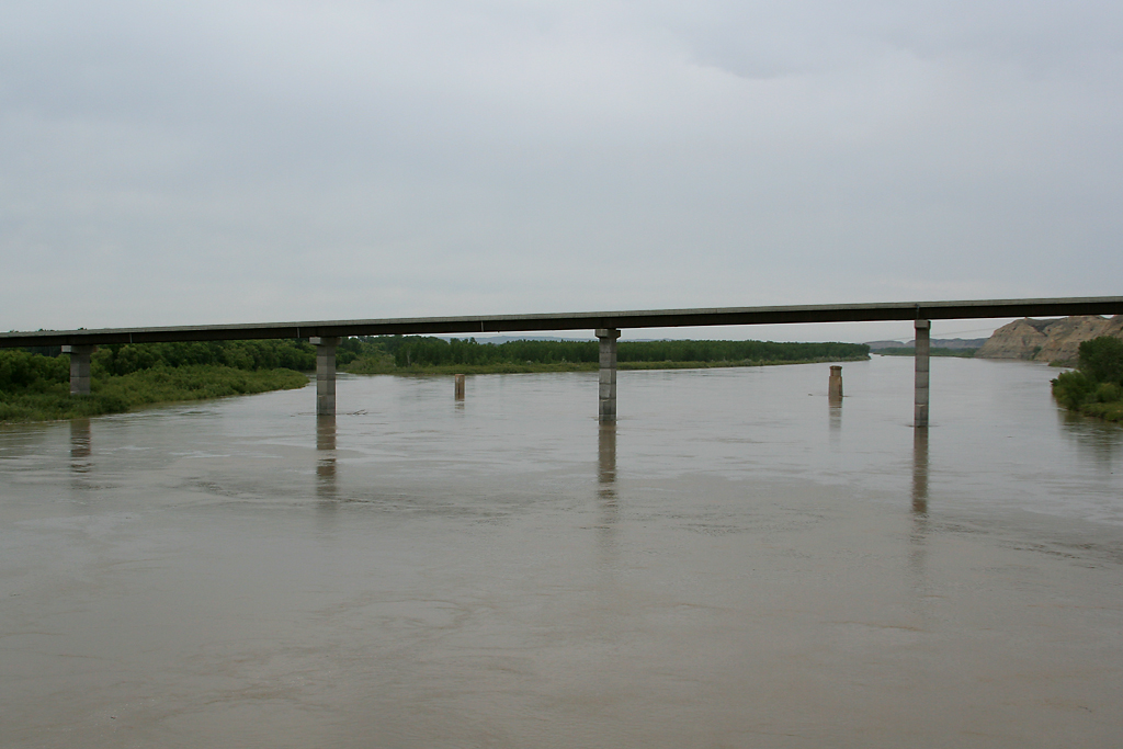
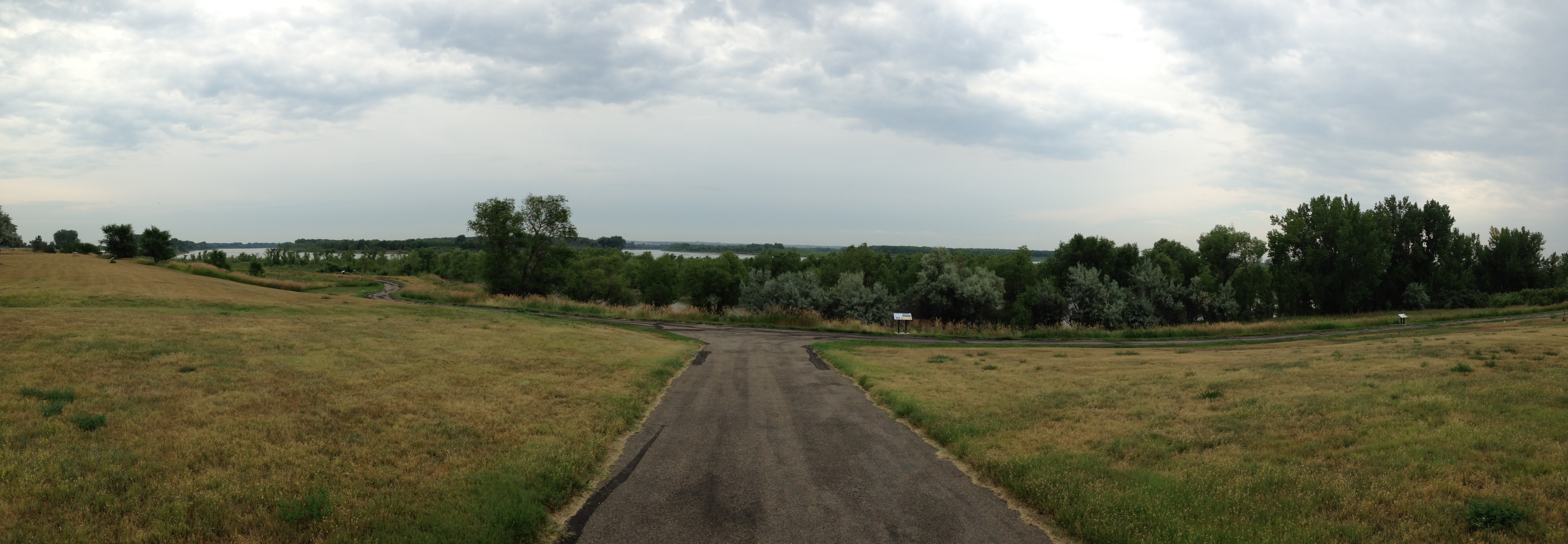
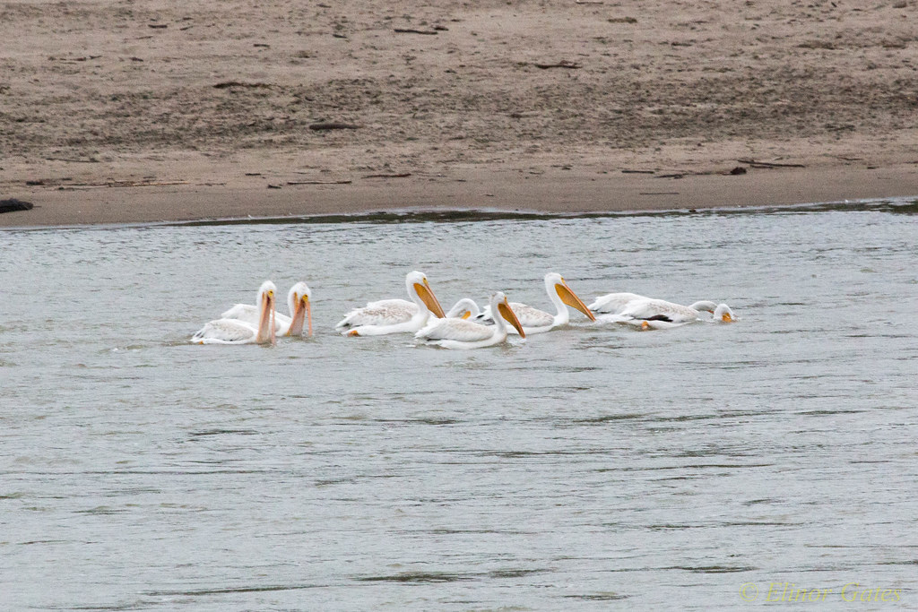
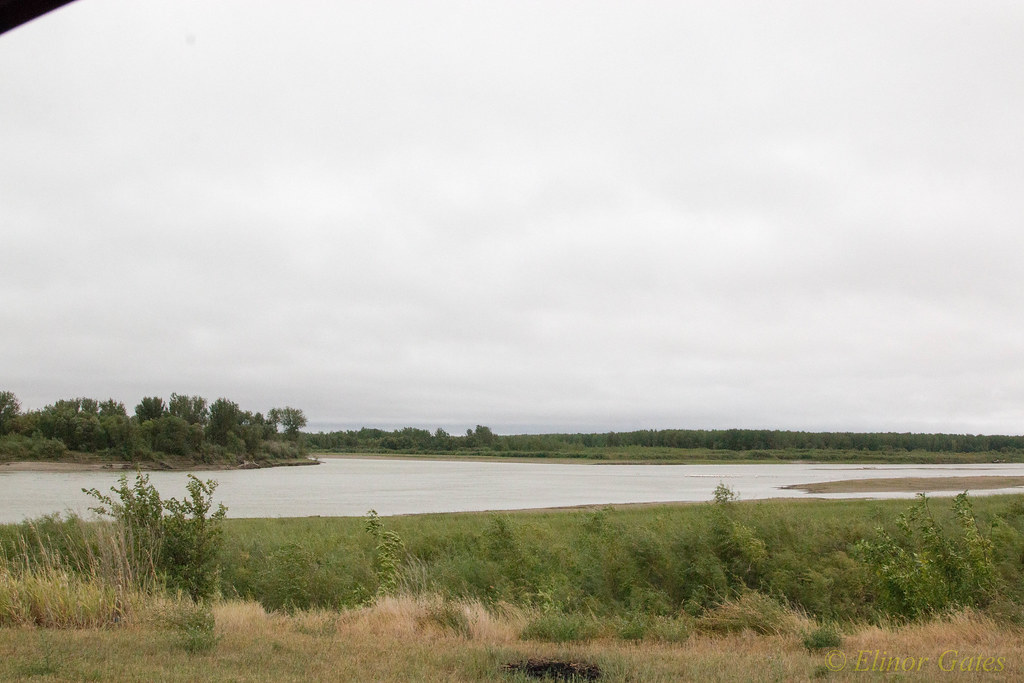
Yellowstone River - Cartwright, ND
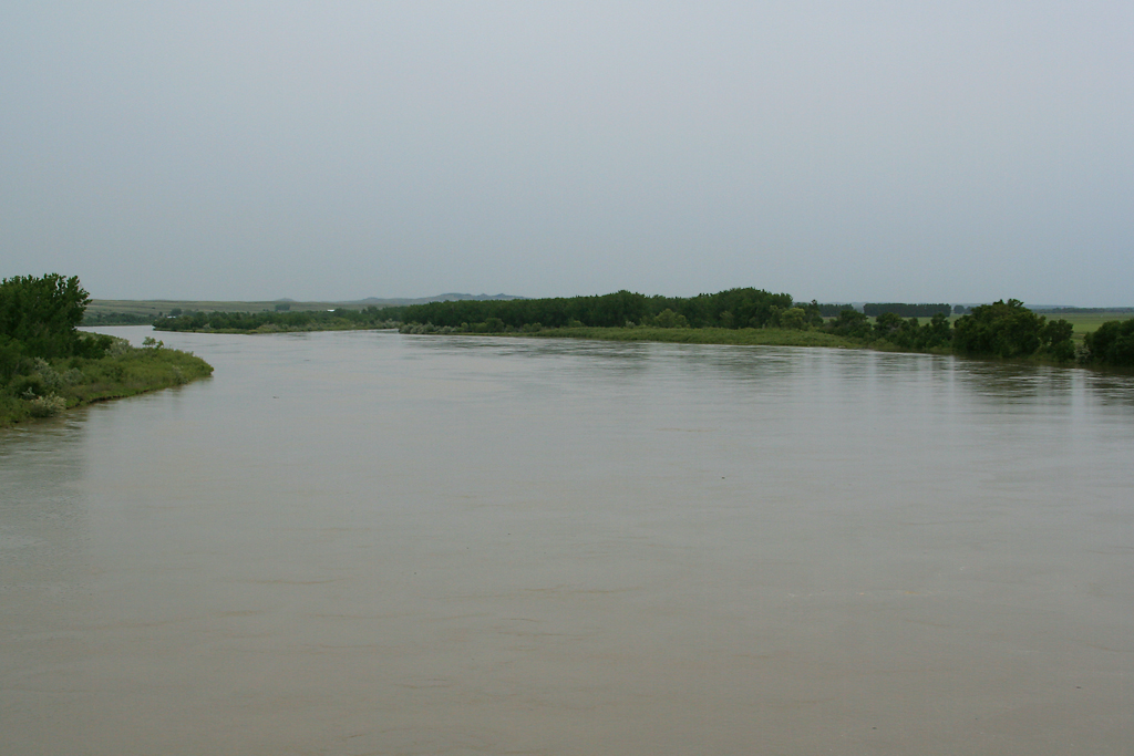
Yellowstone River - Cartwright, ND
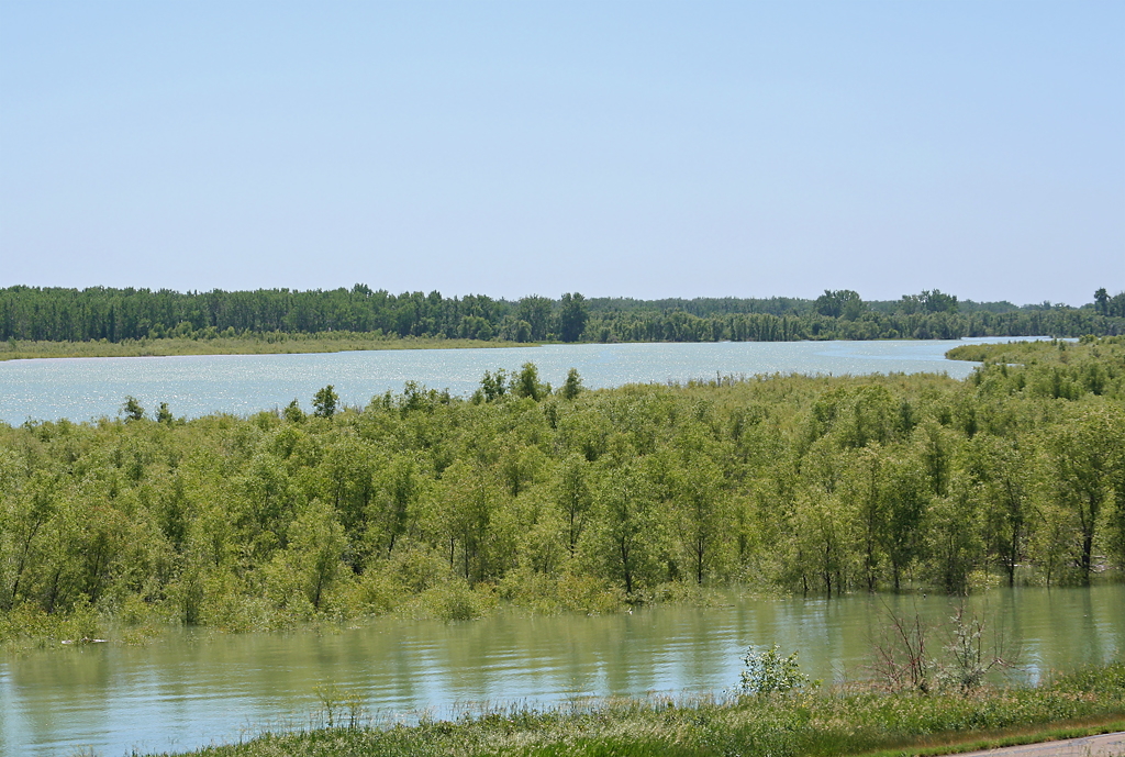
Confluence of Missouri/Yellowstone Rivers
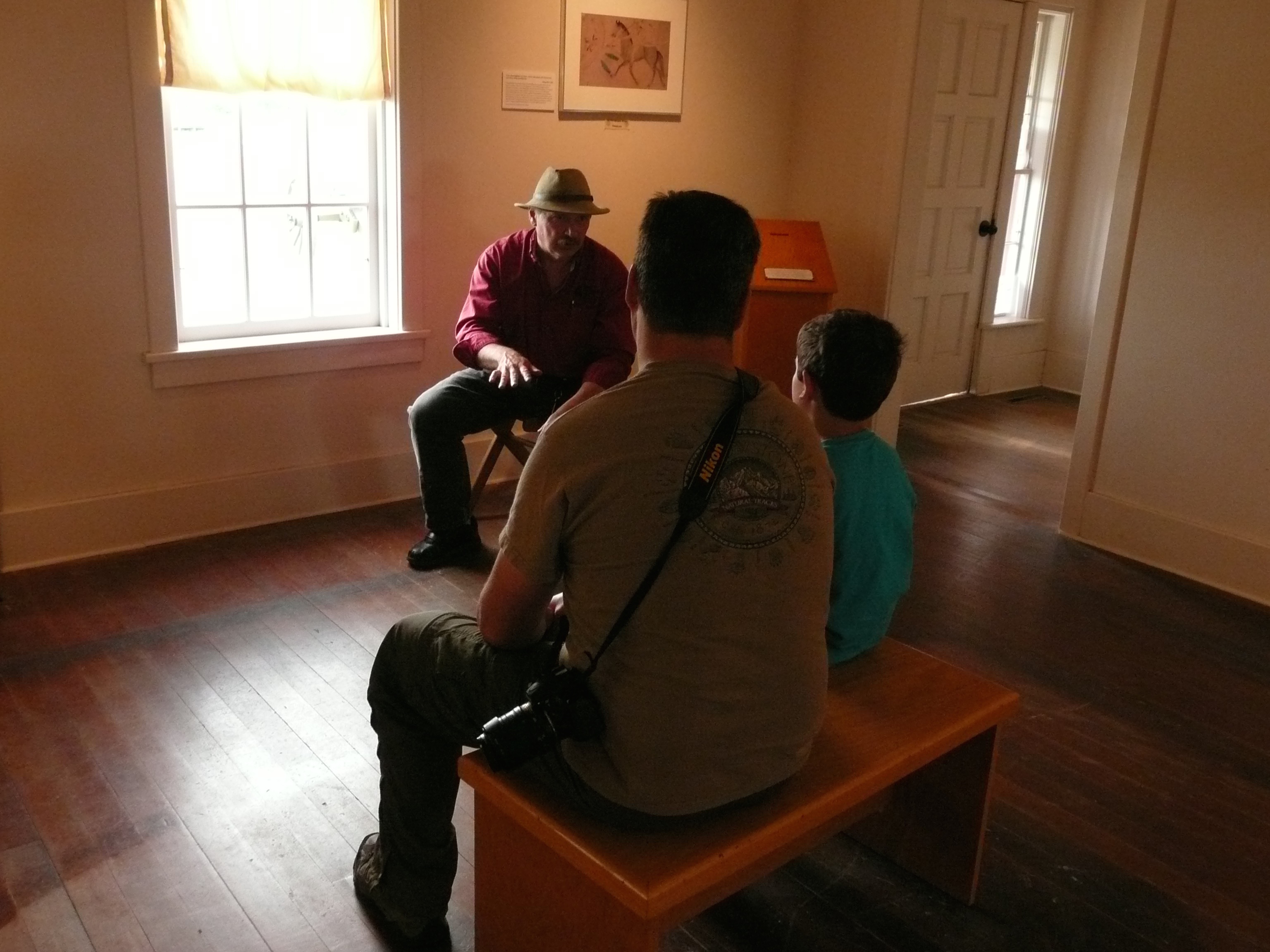
The Road Home
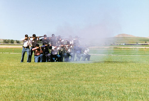
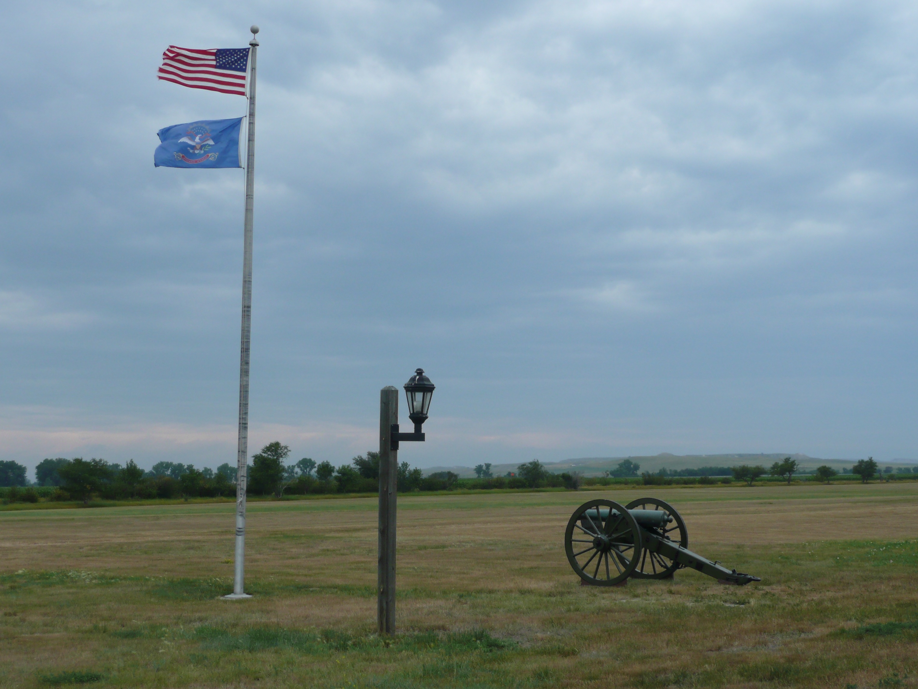
Reenactors firing rifles

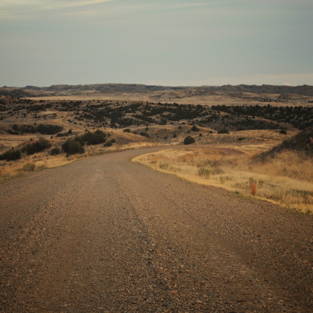
154th Avenue revisited
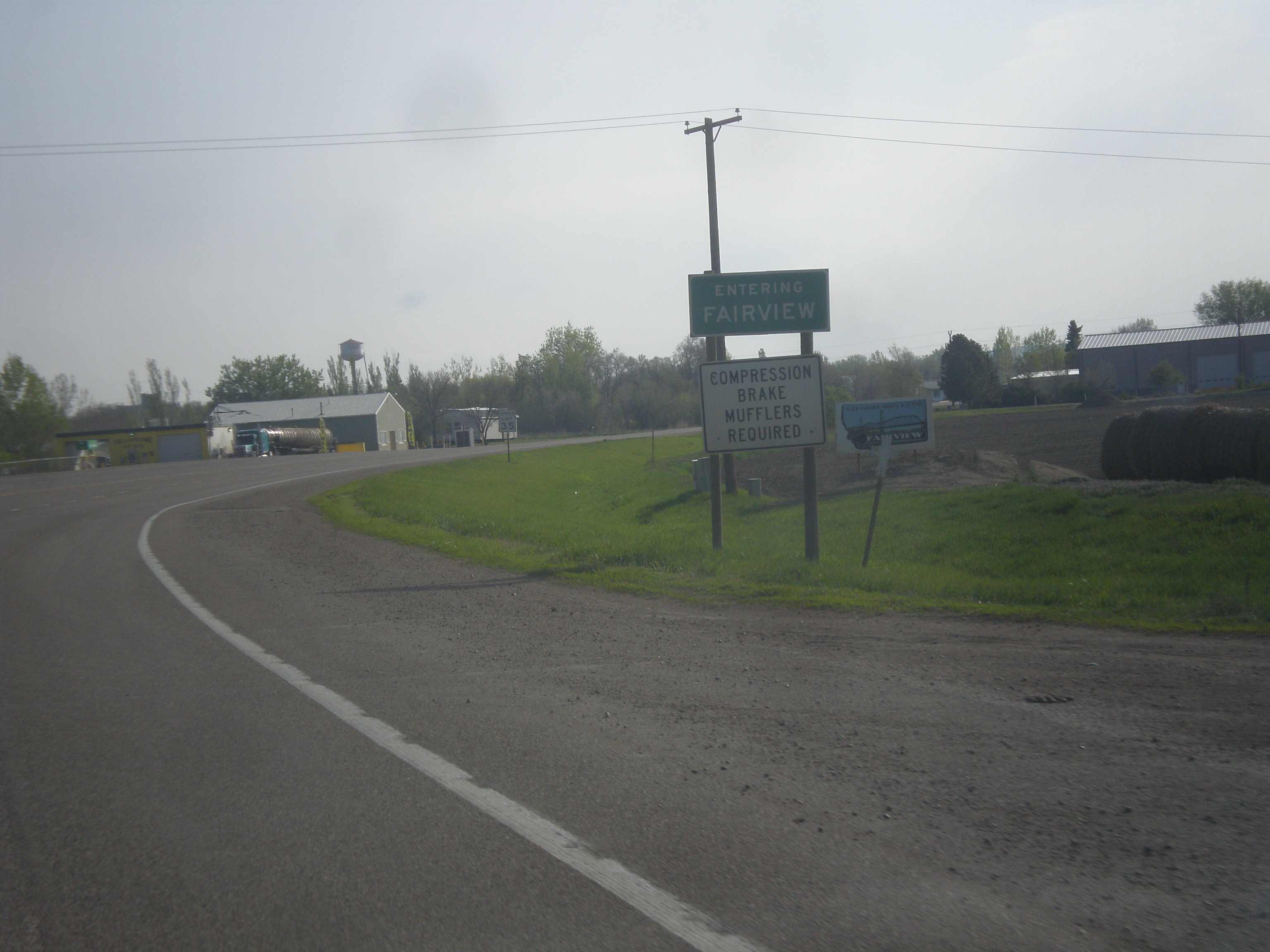
MT-200 East - Entering Fairview
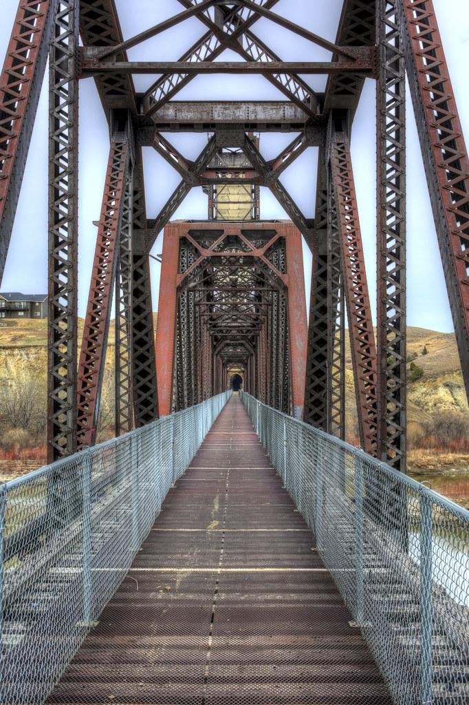
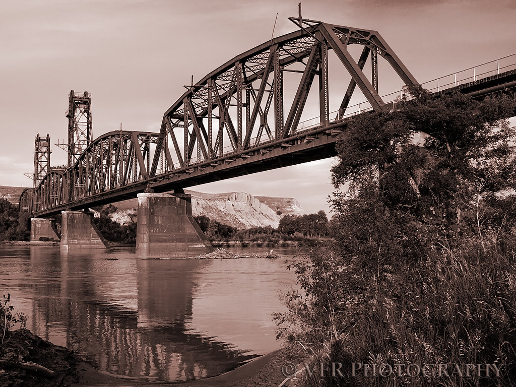
Fairview Lift Bridge

Abandoned to the seasons
Summer 1913

Last rays...
Fairview Bridge

140719-03 (2014-07-21) - 0182
140719-03 (2014-07-21) - 0183
140719-03 (2014-07-21) - 0186
140719-03 (2014-07-21) - 0192
140719-03 (2014-07-21) - 0193
140719-03 (2014-07-21) - 0198
140719-03 (2014-07-21) - 0207
140719-01 (2014-07-21) - 0195
140719-01 (2014-07-21) - 0196
140719-01 (2014-07-21) - 0198
140719-01 (2014-07-21) - 0200
IMG_6968.jpg
IMG_6963.jpg
Topographic Map of Cartwright, ND, USA
Find elevation by address:

Places near Cartwright, ND, USA:
Fairview
Buford
15349 39th Ln Nw
th Ave NW, Williston, ND, USA
14659 Nd-1804
14706 Lambert St
14719 Lambert St
Round Prairie
329 2nd Ave E
Williston
514 E Broadway
1201 E Broadway
Little Muddy River Boating Access
1315 22nd St E
North Mckenzie
5963 Us-85
th Ave NW, Williston, ND, USA
Bonetraill
Bonetraill
67th St NW, Williston, ND, USA
Recent Searches:
- Elevation of Lampiasi St, Sarasota, FL, USA
- Elevation of Elwyn Dr, Roanoke Rapids, NC, USA
- Elevation of Congressional Dr, Stevensville, MD, USA
- Elevation of Bellview Rd, McLean, VA, USA
- Elevation of Stage Island Rd, Chatham, MA, USA
- Elevation of Shibuya Scramble Crossing, 21 Udagawacho, Shibuya City, Tokyo -, Japan
- Elevation of Jadagoniai, Kaunas District Municipality, Lithuania
- Elevation of Pagonija rock, Kranto 7-oji g. 8"N, Kaunas, Lithuania
- Elevation of Co Rd 87, Jamestown, CO, USA
- Elevation of Tenjo, Cundinamarca, Colombia