Elevation of Fort Berthold, ND, USA
Location: United States > North Dakota > Mckenzie County >
Longitude: -102.71585
Latitude: 47.8317557
Elevation: 684m / 2244feet
Barometric Pressure: 93KPa
Elevation Map:
Satellite Map:
Related Photos:
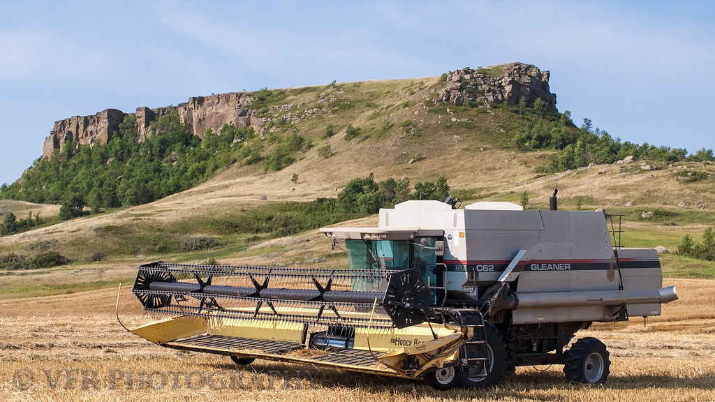
Table Butte gleanings

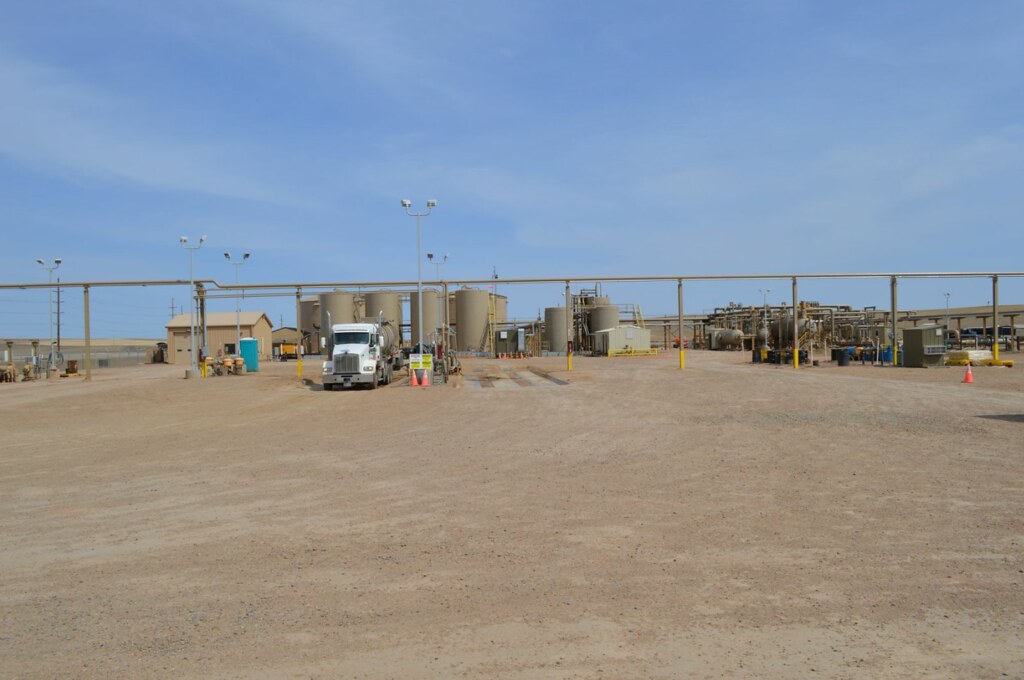
Oil Well

John iPhone May 23 2016 228

Bakken Arrow CDP
Bakken 1

New Photos 037.jpg

New Photos 035.jpg

New Photos 034.jpg
Topographic Map of Fort Berthold, ND, USA
Find elevation by address:

Places in Fort Berthold, ND, USA:
Places near Fort Berthold, ND, USA:
Unnamed Road
3925 17th Ave Ne
Tomahawk Pipeline Construction
Tioga
North Mckenzie
Epping
Main St, Epping, ND, USA
Williams County
Big Meadow
14 S 4th St, Epping, ND, USA
8 Hamlet Ave, Wildrose, ND, USA
th Ave NW, Williston, ND, USA
Little Muddy River Boating Access
1201 E Broadway
1315 22nd St E
514 E Broadway
Williston
329 2nd Ave E
Dublin
5621 131st Ave Nw
Recent Searches:
- Elevation of State St, Zanesville, OH, USA
- Elevation of Austin Stone Dr, Haslet, TX, USA
- Elevation of Bydgoszcz, Poland
- Elevation of Bydgoszcz, Poland
- Elevation of Calais Dr, Del Mar, CA, USA
- Elevation of Placer Mine Ln, West Jordan, UT, USA
- Elevation of E 63rd St, New York, NY, USA
- Elevation of Elk City, OK, USA
- Elevation of Erika Dr, Windsor, CA, USA
- Elevation of Village Ln, Finleyville, PA, USA