Elevation map of Williams County, ND, USA
Location: United States > North Dakota >
Longitude: -103.29239
Latitude: 48.432044
Elevation: 705m / 2313feet
Barometric Pressure: 93KPa
Elevation Map:
Satellite Map:
Related Photos:
___________.
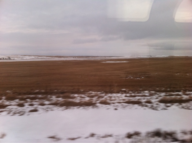
Ray ND Country Road 088

Ray09 062

Sara taking much needed nap. Not feeling the greatest. Be in Malta at 2 as of now in Wheelock, ND

photo.JPG

photo.JPG
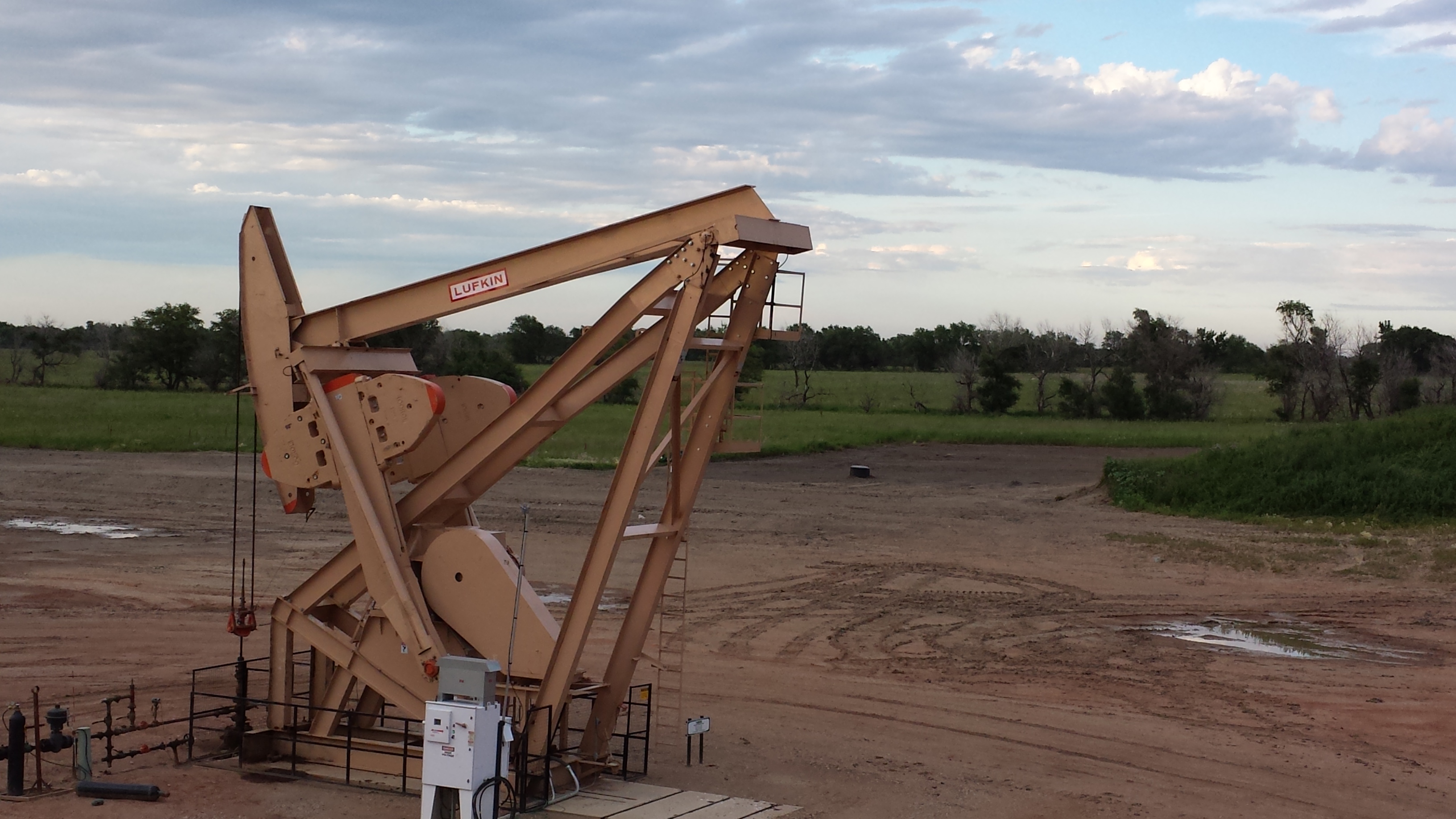
Oil Rig Stuff
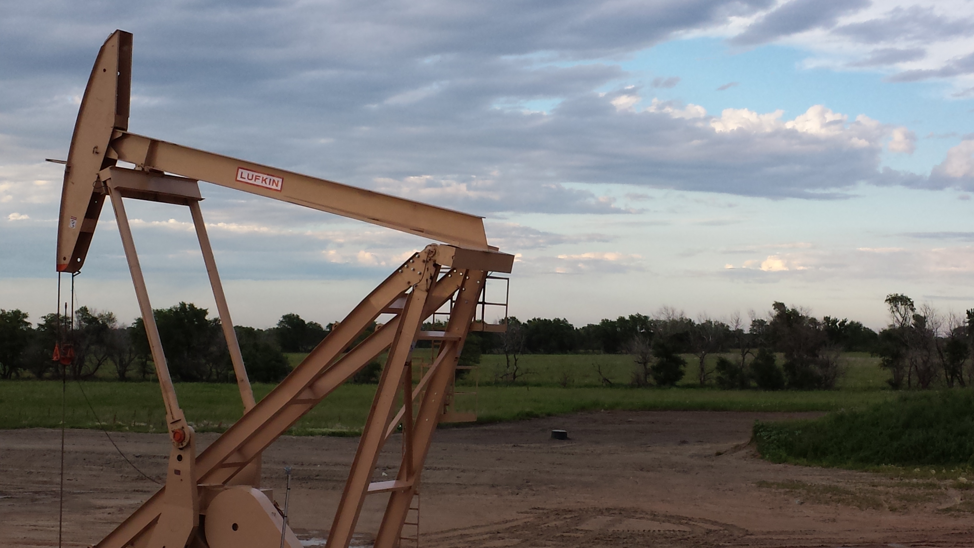
Oil Rig Stuff
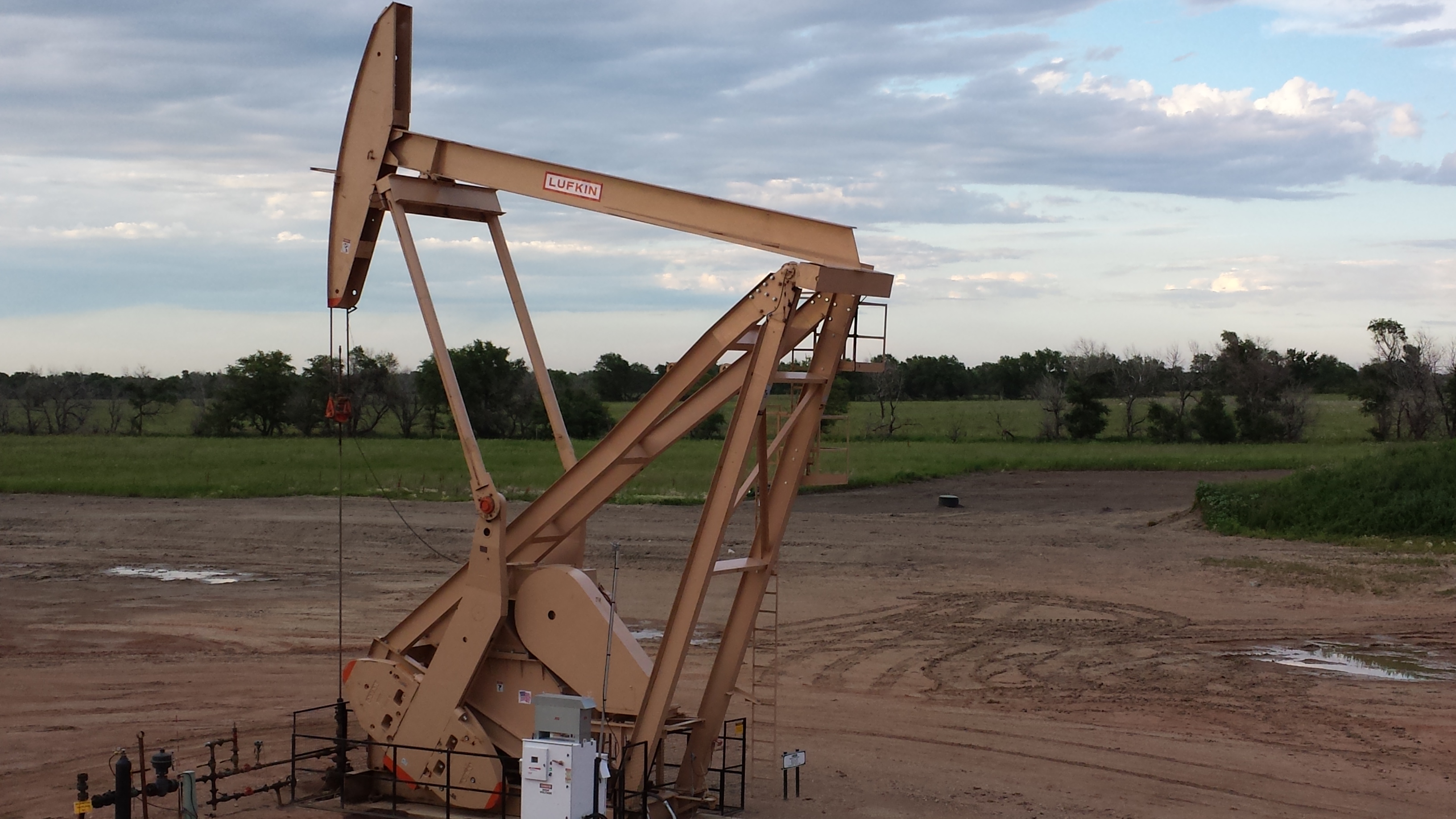
Oil Rig Stuff
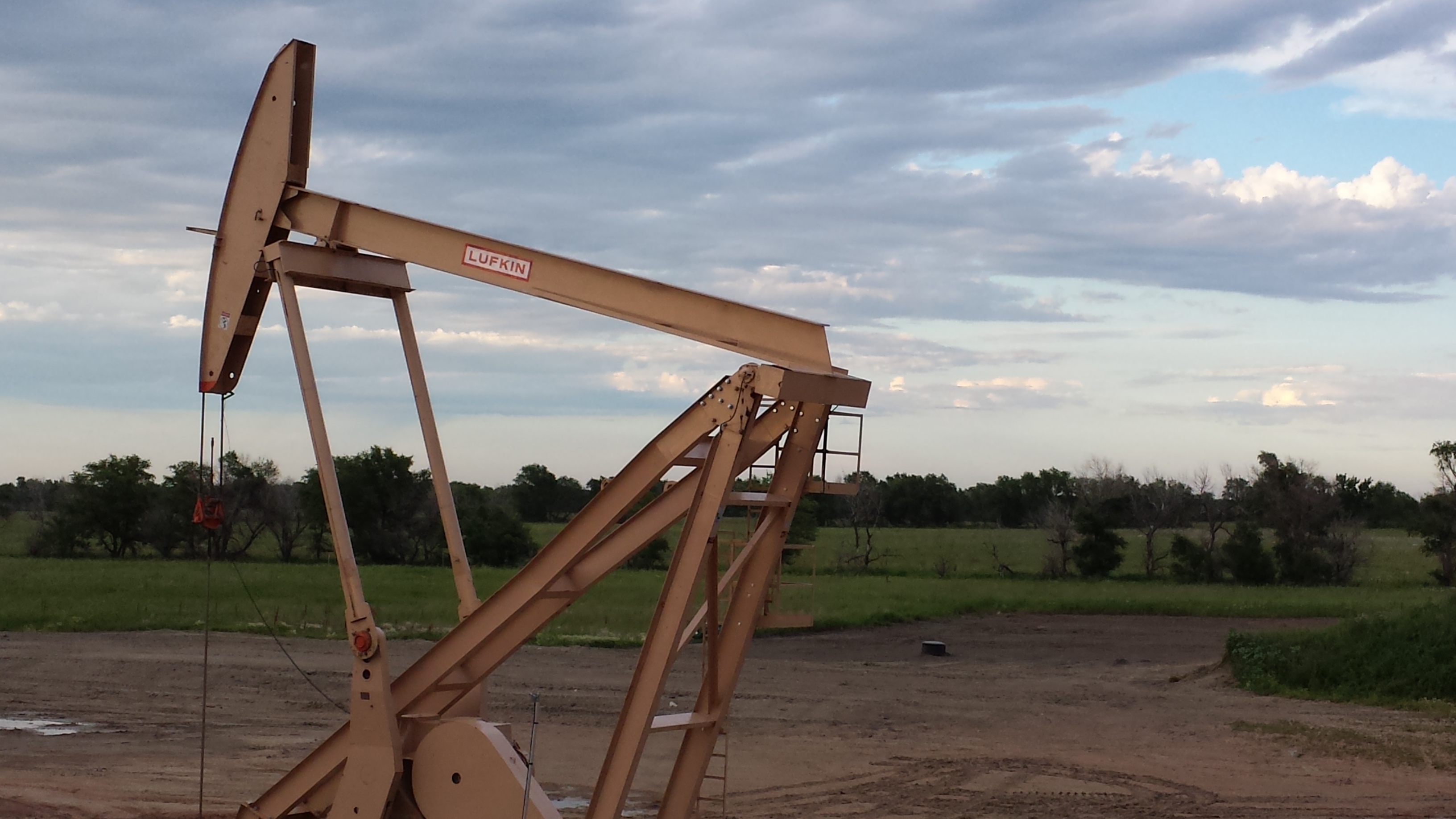
Oil Rig Stuff

Two Chimneys

Another ghost town
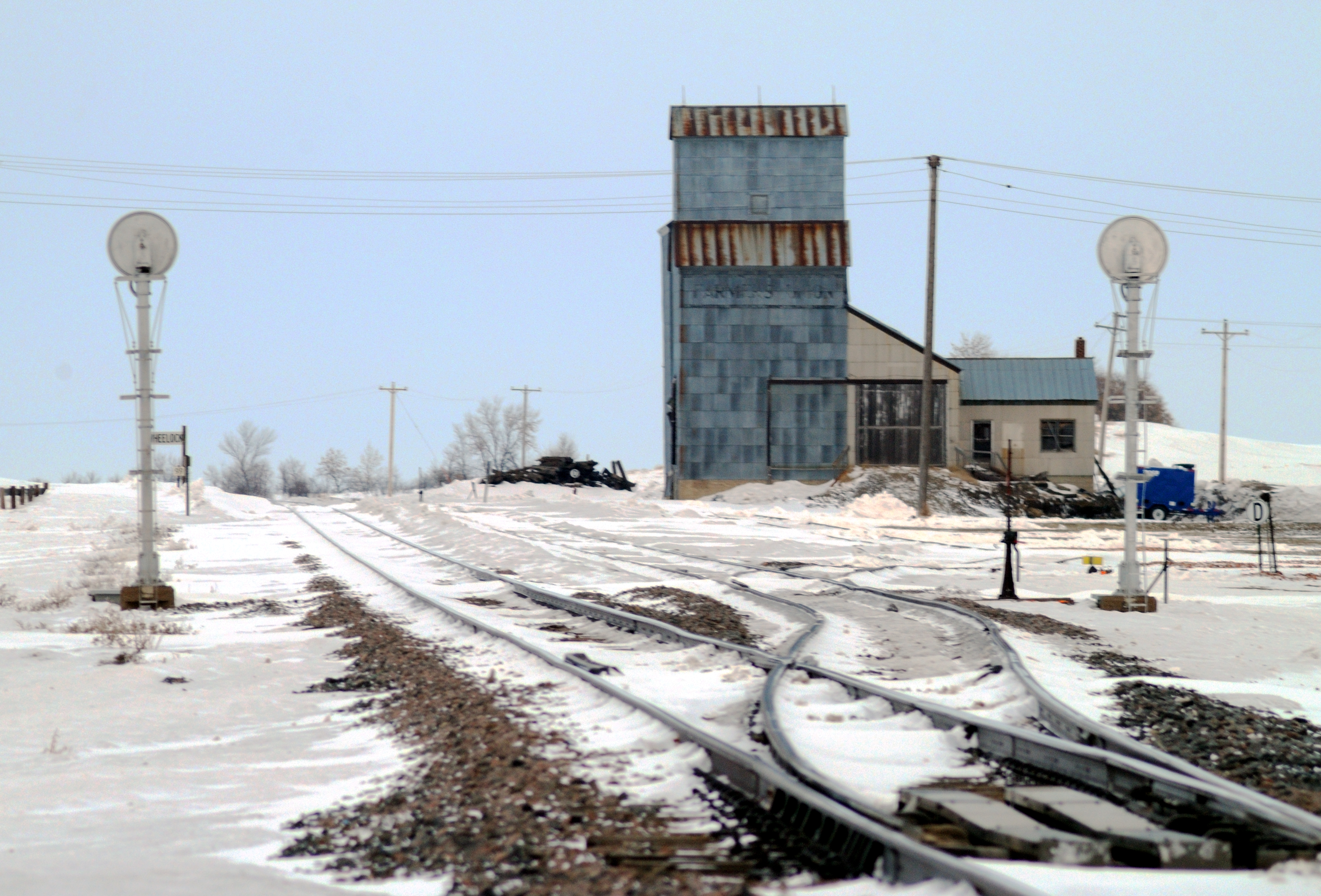
Wheelock ND Elevator siding 143

Wheelock ND school 137

Wheelock ND faded hoop dreams 131
Wheelock ND Prairie Ark 128
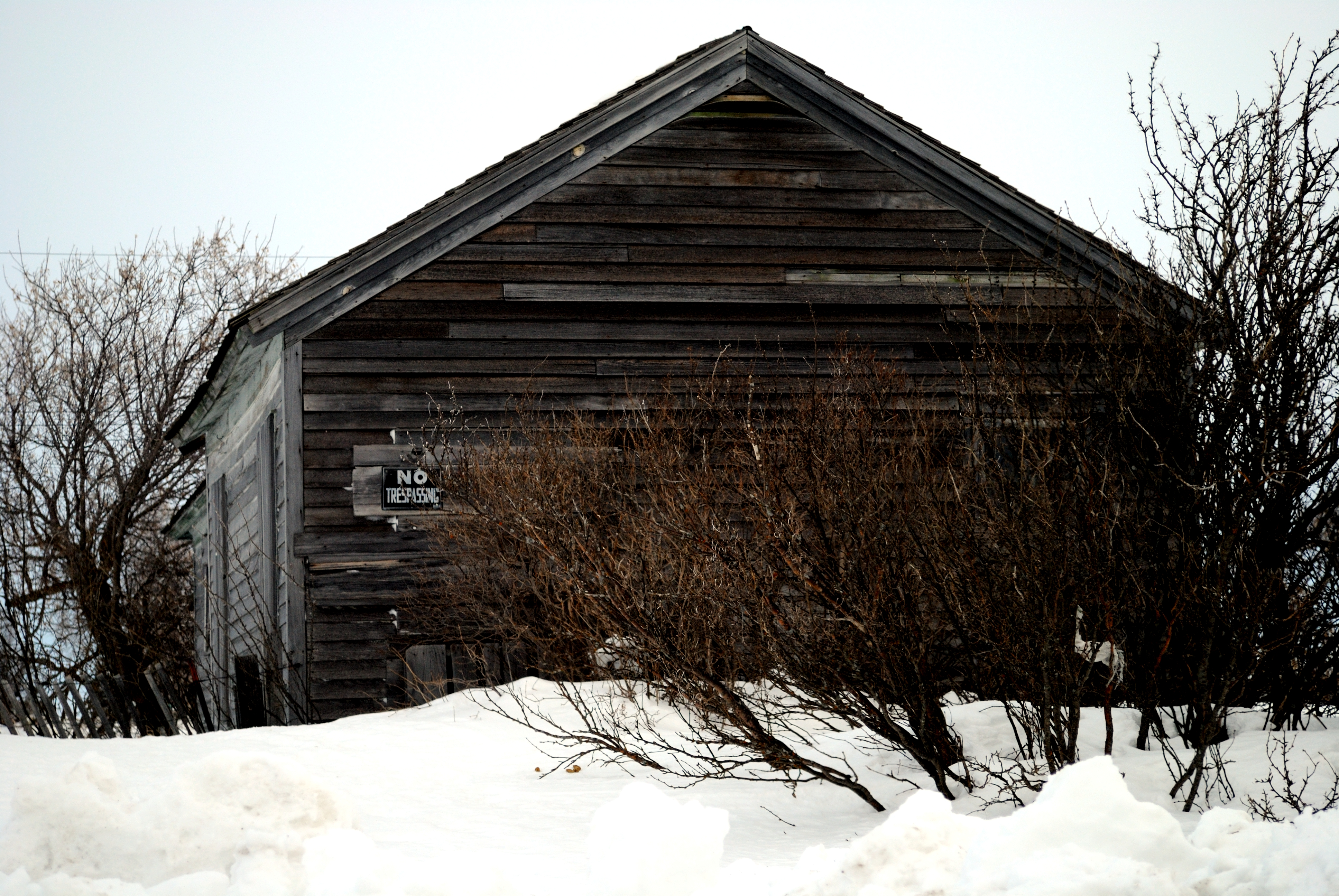
Wheelock ND abandoned building 126
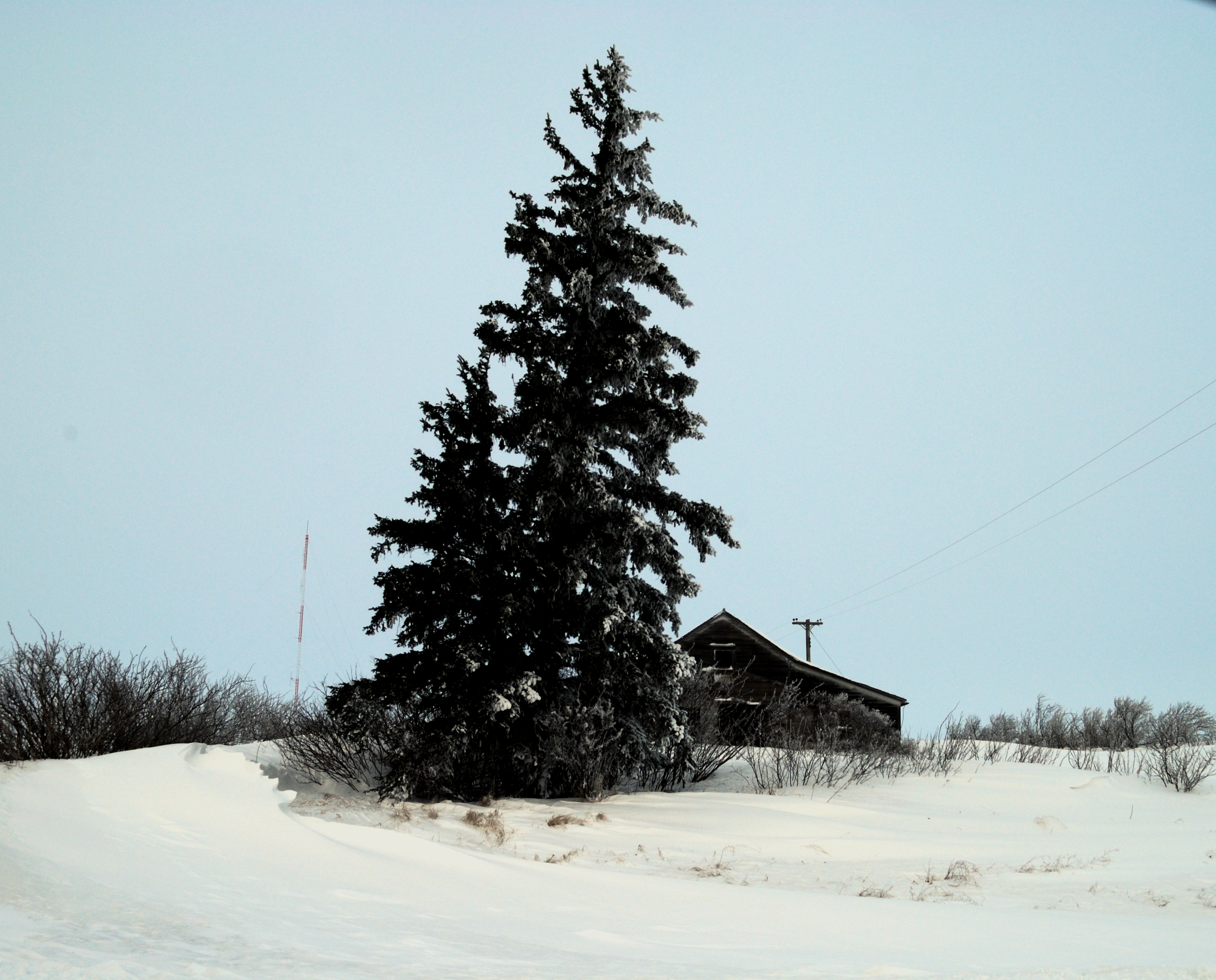
Wheelock ND tree & shack 121

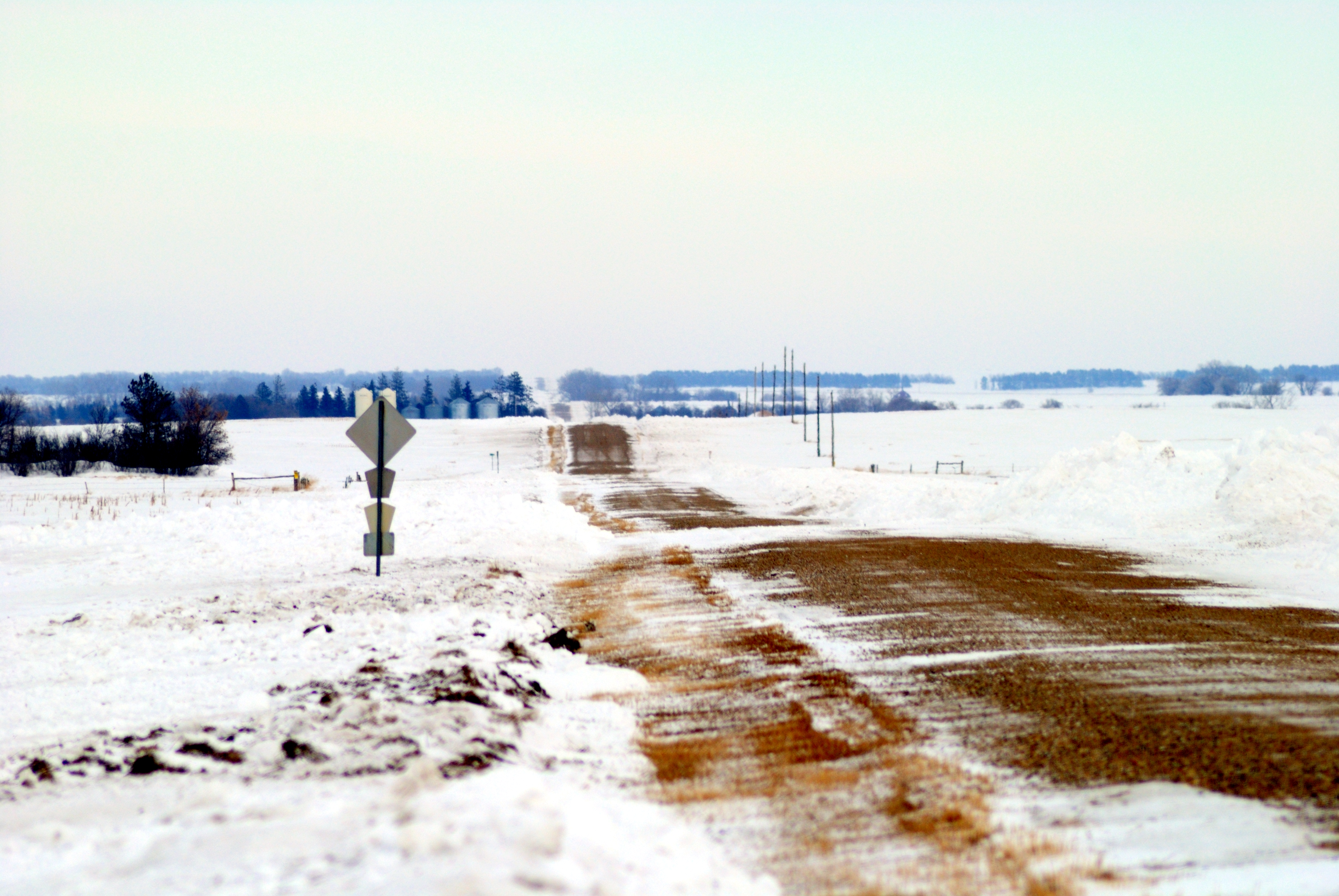
Ray ND tree line 087
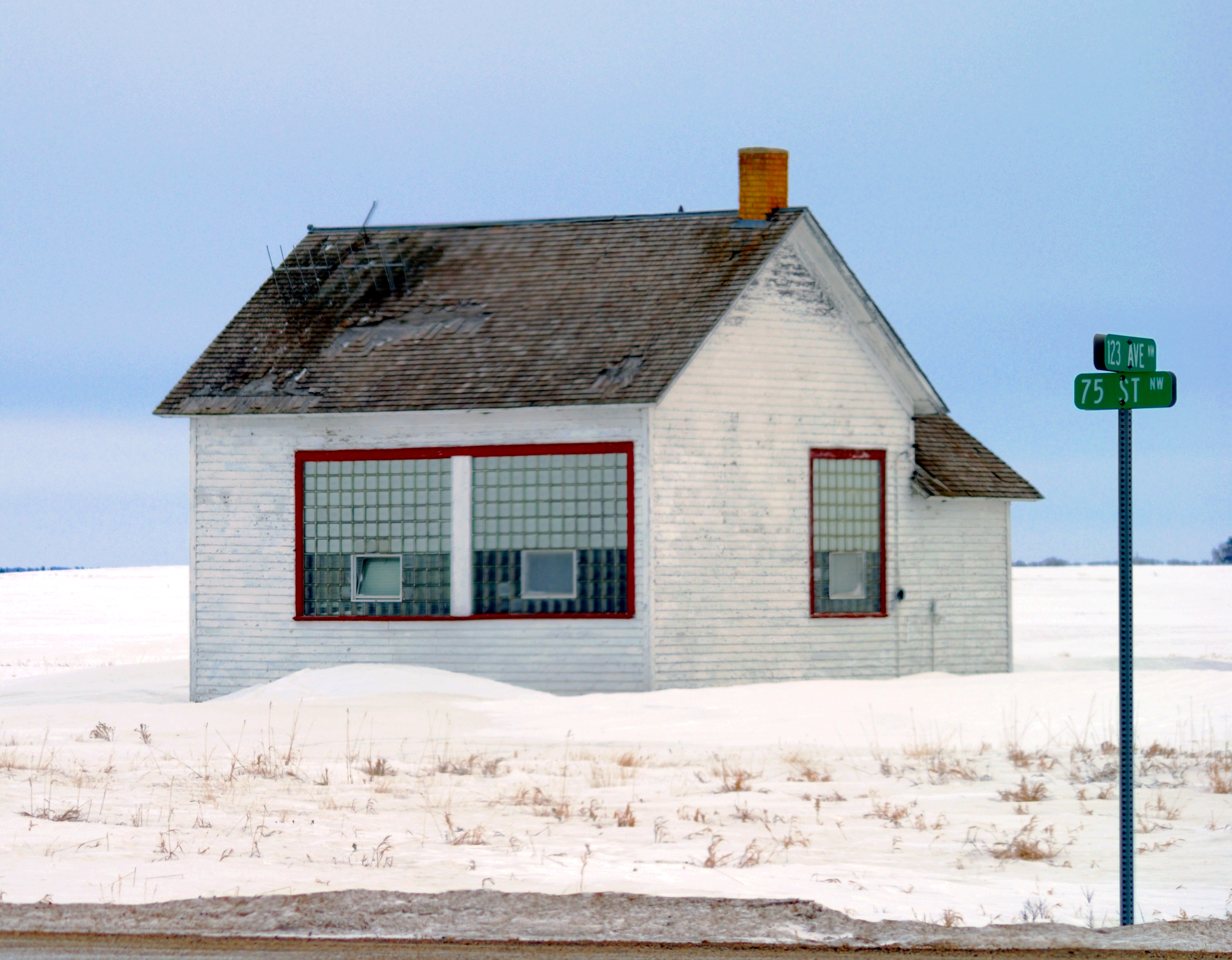
Ray ND Country School 085

Union Elev 5
Topographic Map of Williams County, ND, USA
Find elevation by address:

Places in Williams County, ND, USA:
Epping
Dublin
Buford
Big Meadow
Bonetraill
Athens
Williston
th Ave NW, Williston, ND, USA
Tioga
Round Prairie
Grenora
Places near Williams County, ND, USA:
Main St, Epping, ND, USA
Epping
Dublin
th Ave NW, Williston, ND, USA
5621 131st Ave Nw
5621 131st Ave Nw
14 S 4th St, Epping, ND, USA
Big Meadow
Athens
8 Hamlet Ave, Wildrose, ND, USA
Tomahawk Pipeline Construction
Tioga
5963 Us-85
67th St NW, Williston, ND, USA
1315 22nd St E
Little Muddy River Boating Access
1201 E Broadway
514 E Broadway
Williston
329 2nd Ave E
Recent Searches:
- Elevation of Corso Fratelli Cairoli, 35, Macerata MC, Italy
- Elevation of Tallevast Rd, Sarasota, FL, USA
- Elevation of 4th St E, Sonoma, CA, USA
- Elevation of Black Hollow Rd, Pennsdale, PA, USA
- Elevation of Oakland Ave, Williamsport, PA, USA
- Elevation of Pedrógão Grande, Portugal
- Elevation of Klee Dr, Martinsburg, WV, USA
- Elevation of Via Roma, Pieranica CR, Italy
- Elevation of Tavkvetili Mountain, Georgia
- Elevation of Hartfords Bluff Cir, Mt Pleasant, SC, USA