Elevation of th Ave NW, Williston, ND, USA
Location: United States > North Dakota > Williams County >
Longitude: -103.48022
Latitude: 48.353354
Elevation: 649m / 2129feet
Barometric Pressure: 94KPa
Elevation Map:
Satellite Map:
Related Photos:

Creek seen from Amtrak's "Empire Builder"; near Epping, North Dakota

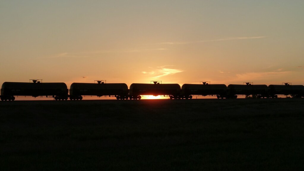
Near Williston, ND

2014.07.23-19.49.41

Two Chimneys

Colt Monitors
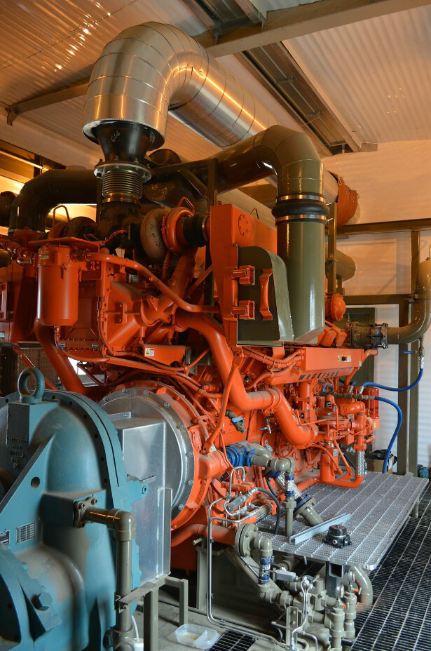
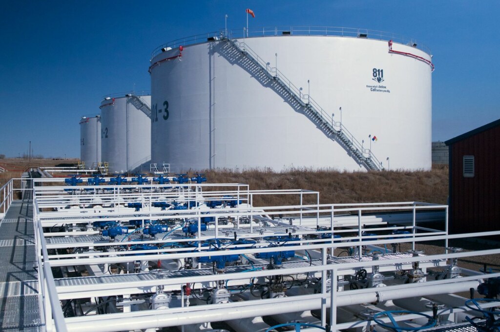
Bakken 3
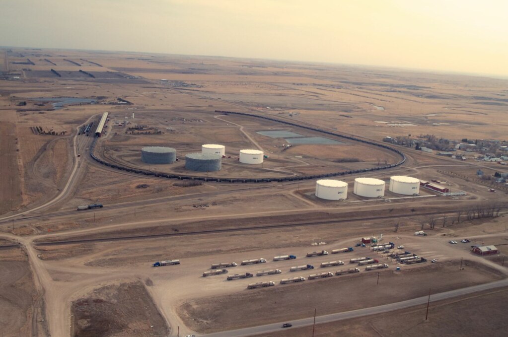
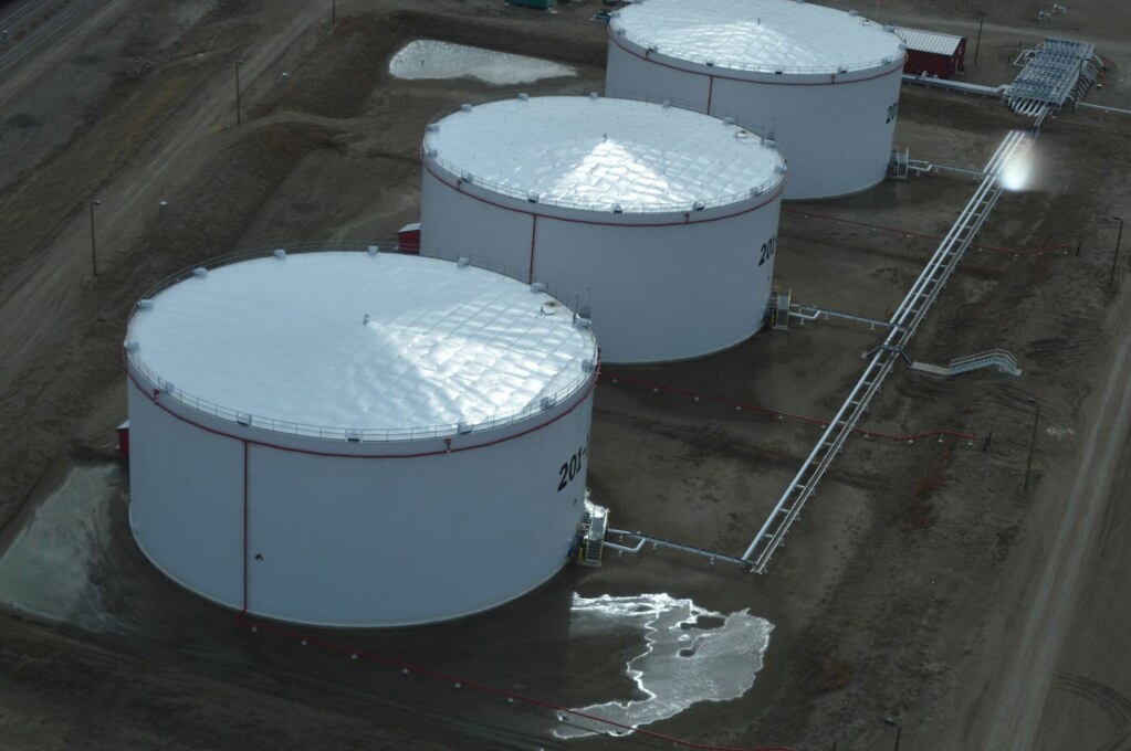
Bakken 4
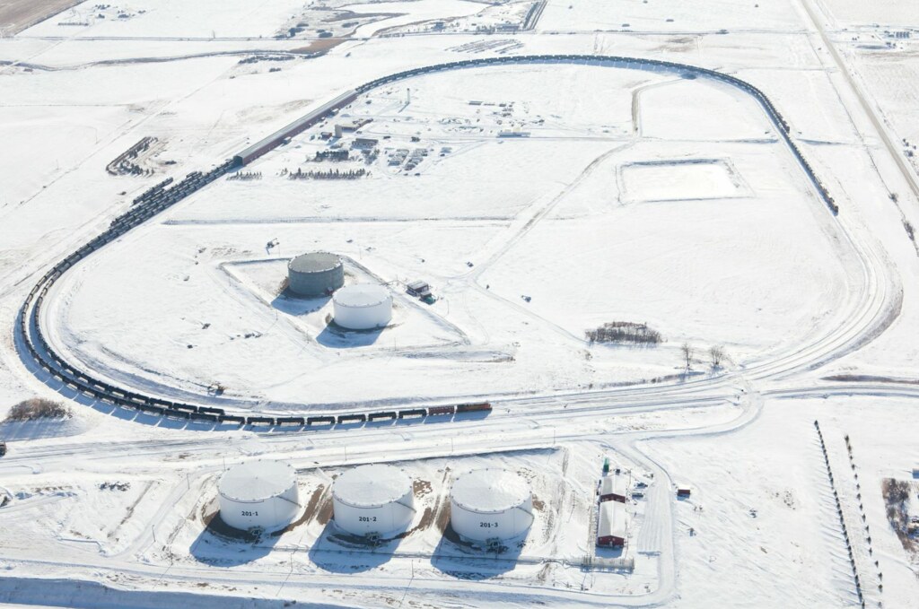
Bakken 5
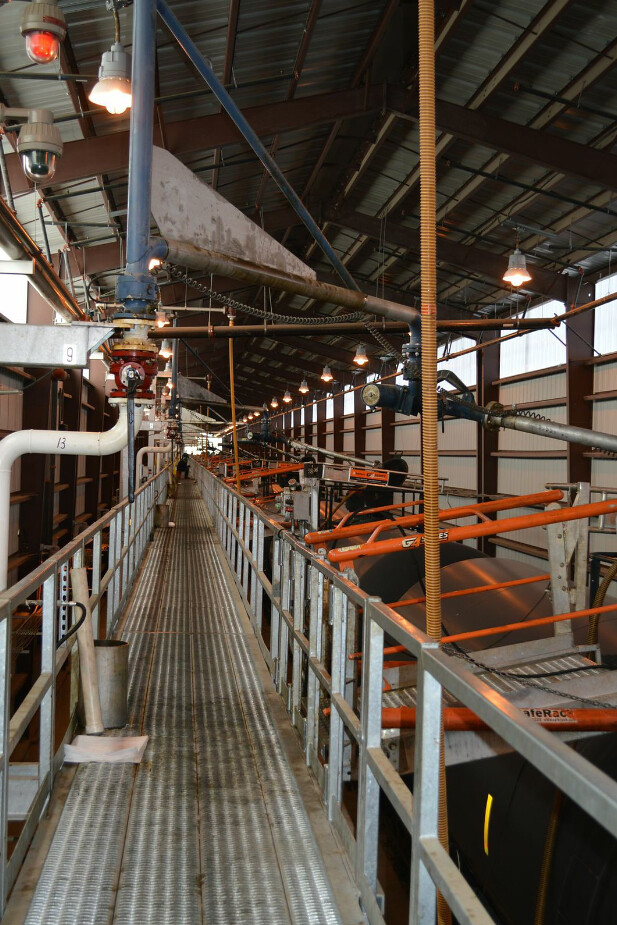
Bakken 6
Bakken 7
Bakken 8
Bakken 9

photo.JPG
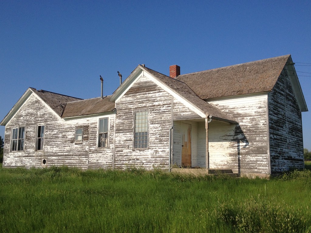
photo.JPG

IMG_1565-Edit2-Edit

IMG_1859LG.jpg

Country Girl
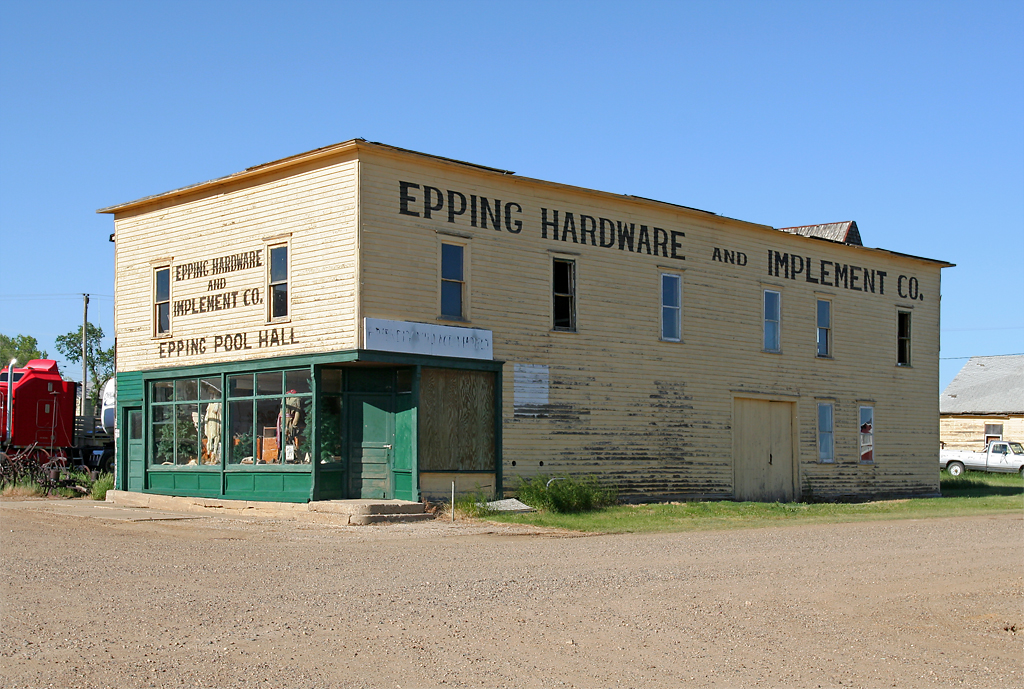
Hardware & Implement Co. - Epping, ND
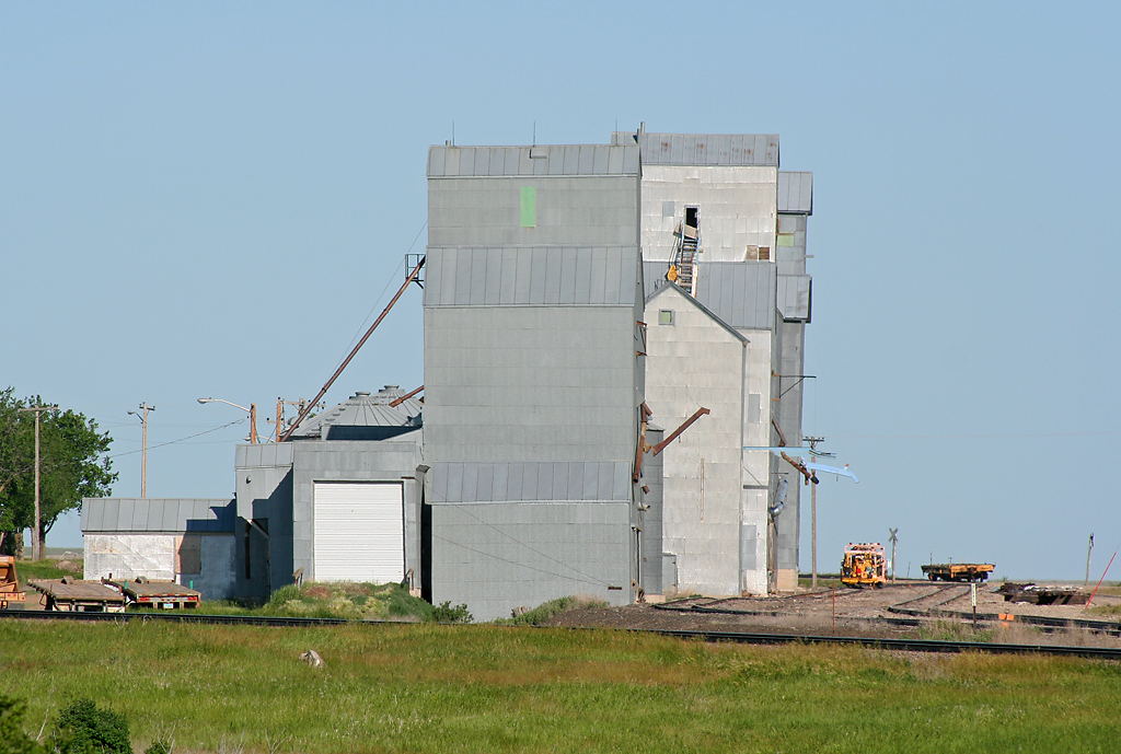
Epping, ND Grain Elevators
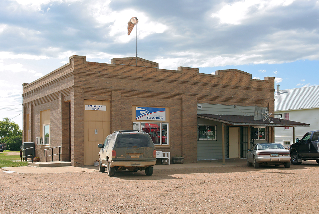
Epping, ND Post Office
Topographic Map of th Ave NW, Williston, ND, USA
Find elevation by address:

Places near th Ave NW, Williston, ND, USA:
5621 131st Ave Nw
5621 131st Ave Nw
Dublin
14 S 4th St, Epping, ND, USA
Athens
Main St, Epping, ND, USA
Epping
5963 Us-85
67th St NW, Williston, ND, USA
Williams County
1315 22nd St E
Little Muddy River Boating Access
1201 E Broadway
514 E Broadway
Williston
329 2nd Ave E
th Ave NW, Williston, ND, USA
Bonetraill
North Mckenzie
Bonetraill
Recent Searches:
- Elevation of Slanický ostrov, 01 Námestovo, Slovakia
- Elevation of Spaceport America, Co Rd A, Truth or Consequences, NM, USA
- Elevation of Warwick, RI, USA
- Elevation of Fern Rd, Whitmore, CA, USA
- Elevation of 62 Abbey St, Marshfield, MA, USA
- Elevation of Fernwood, Bradenton, FL, USA
- Elevation of Felindre, Swansea SA5 7LU, UK
- Elevation of Leyte Industrial Development Estate, Isabel, Leyte, Philippines
- Elevation of W Granada St, Tampa, FL, USA
- Elevation of Pykes Down, Ivybridge PL21 0BY, UK