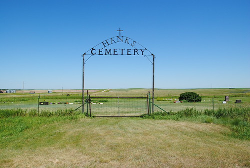
Elevation of Grenora, ND, USA
Location: United States > North Dakota > Williams County >
Longitude: -103.93617
Latitude: 48.6208378
Elevation: 650m / 2133feet
Barometric Pressure: 94KPa
Related Photos:
Topographic Map of Grenora, ND, USA
Find elevation by address:

Places near Grenora, ND, USA:
Writing Rock
Bonetraill
Bonetraill
th Ave NW, Williston, ND, USA
67th St NW, Williston, ND, USA
Caldera
Divide County
Athens
Round Prairie
5963 Us-85
5621 131st Ave Nw
5621 131st Ave Nw
14719 Lambert St
Dublin
14706 Lambert St
th Ave NW, Williston, ND, USA
1315 22nd St E
14659 Nd-1804
329 2nd Ave E
Williston
Recent Searches:
- Elevation of Woodland Oak Pl, Thousand Oaks, CA, USA
- Elevation of Brownsdale Rd, Renfrew, PA, USA
- Elevation of Corcoran Ln, Suffolk, VA, USA
- Elevation of Mamala II, Sariaya, Quezon, Philippines
- Elevation of Sarangdanda, Nepal
- Elevation of 7 Waterfall Way, Tomball, TX, USA
- Elevation of SW 57th Ave, Portland, OR, USA
- Elevation of Crocker Dr, Vacaville, CA, USA
- Elevation of Pu Ngaol Community Meeting Hall, HWHM+3X7, Krong Saen Monourom, Cambodia
- Elevation of Royal Ontario Museum, Queens Park, Toronto, ON M5S 2C6, Canada


