Elevation of Tioga, ND, USA
Location: United States > North Dakota > Williams County >
Longitude: -102.93823
Latitude: 48.3972442
Elevation: 684m / 2244feet
Barometric Pressure: 93KPa
Elevation Map:
Satellite Map:
Related Photos:

Lost Religion

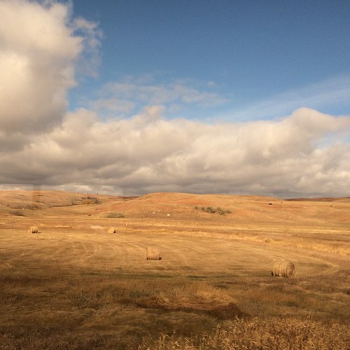
More North Dakota

St Olaf Lutheran
Amtrak's Empire Builder
Along the rails. #amtrak #landscape #outmywindow
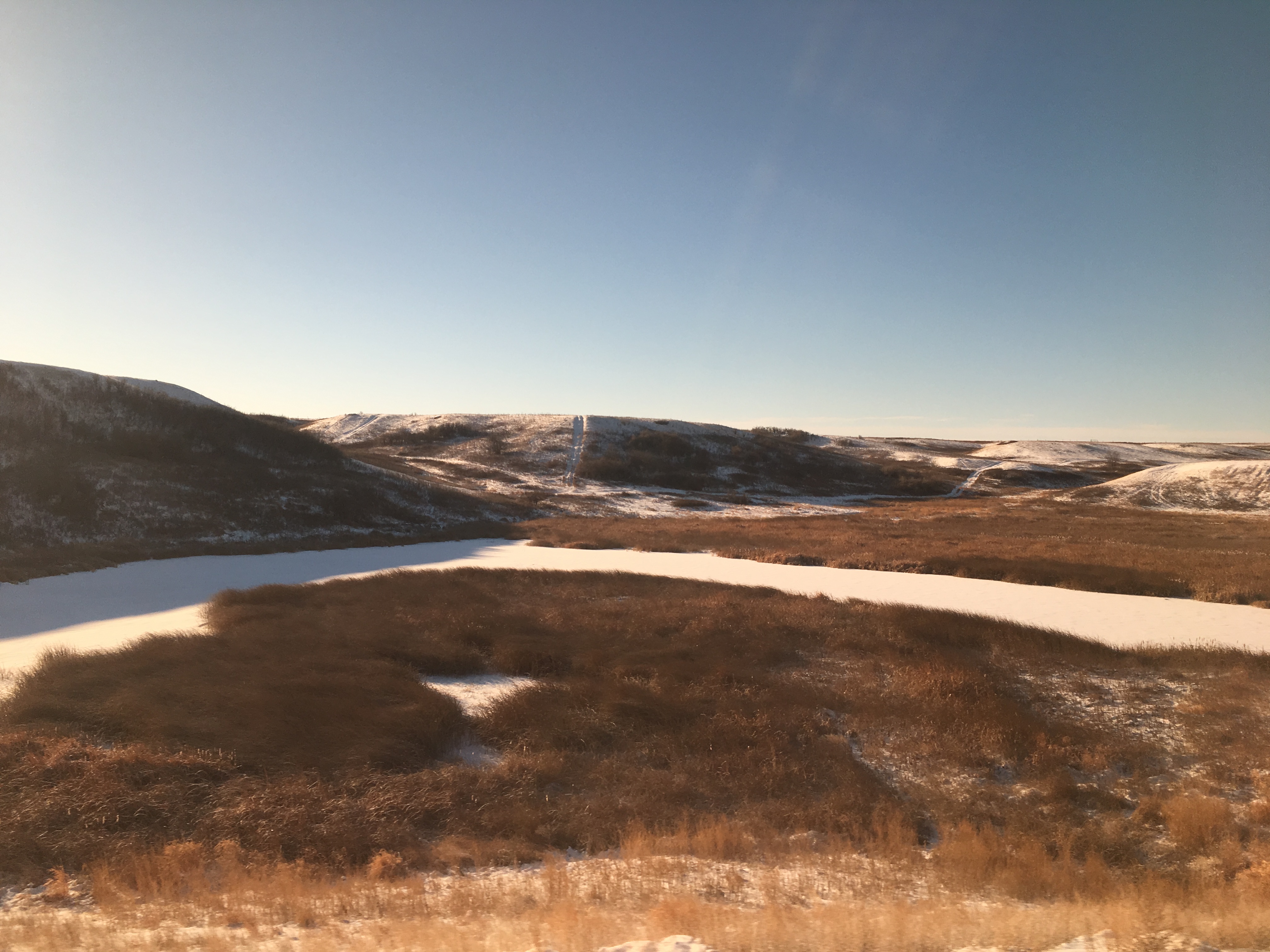
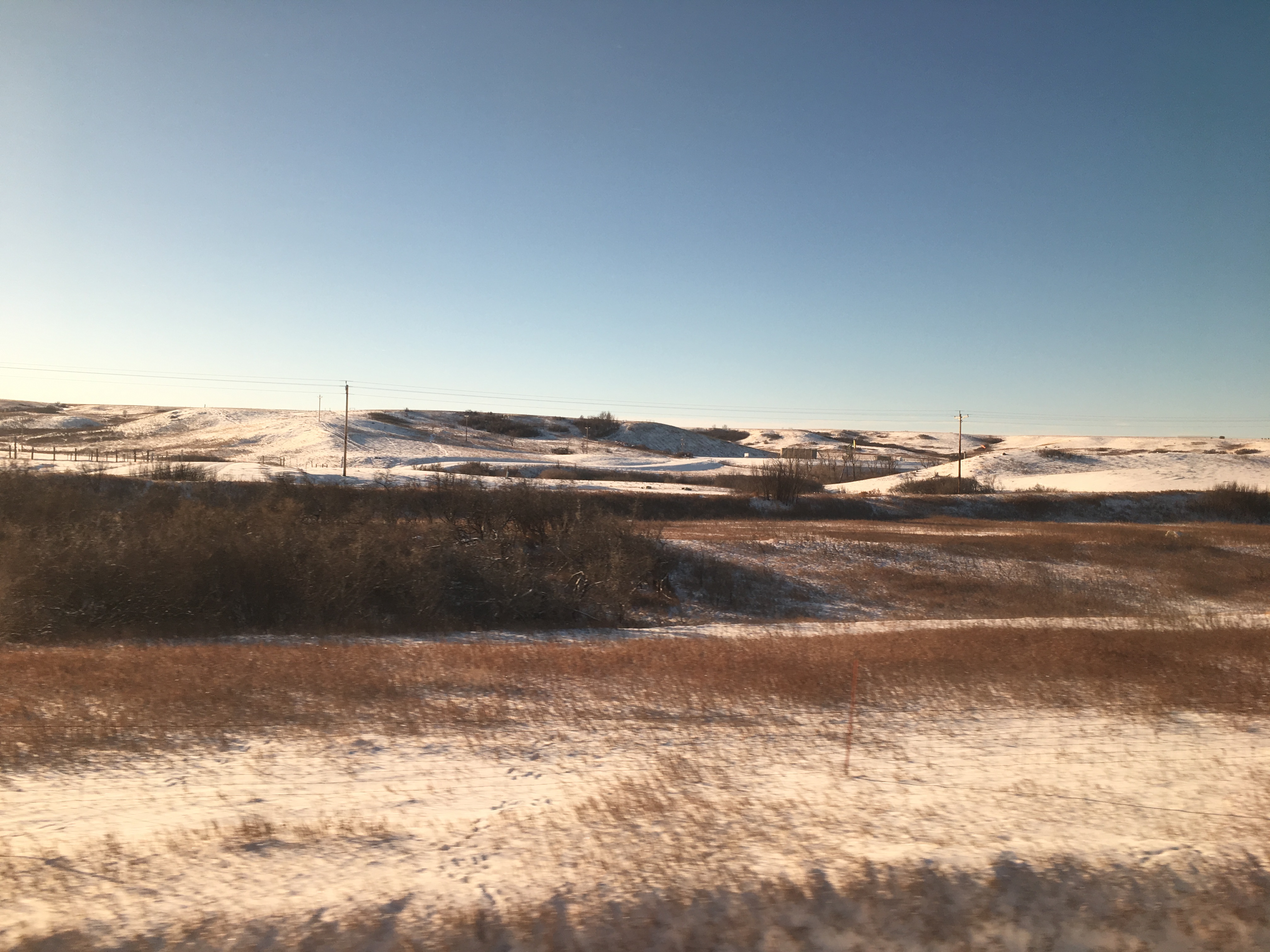
Near Tioga, ND
Amtrak's Empire Builder
Amtrak's Empire Builder
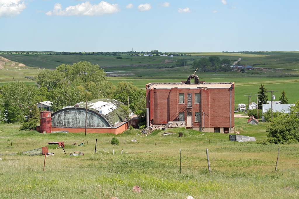
White Earth, ND School

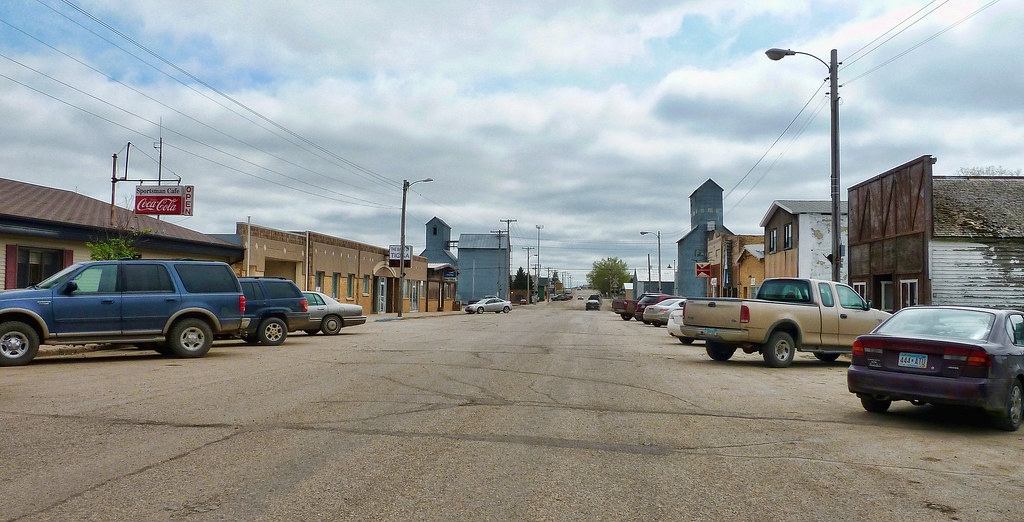
Tioga, ND

My handsome <3 #adventureswithmyhubs #amtrak
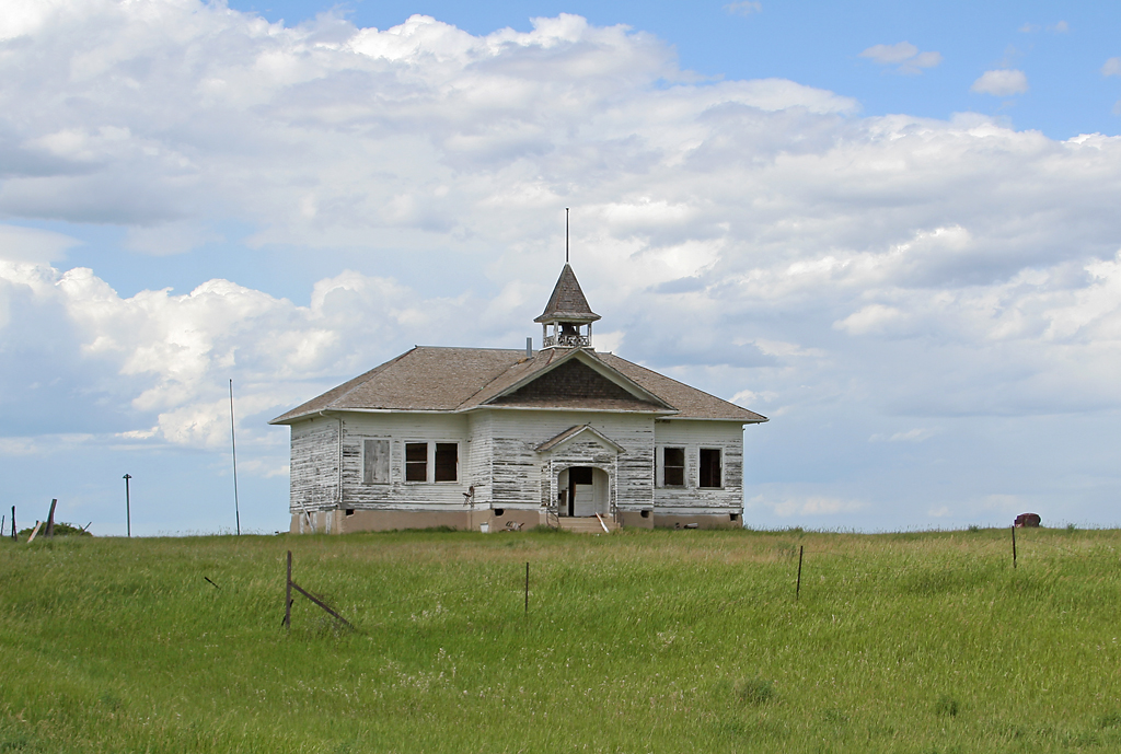
Temple, ND School
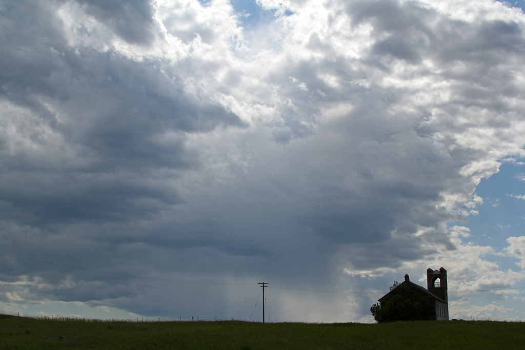
Abandoned Church - Temple, ND
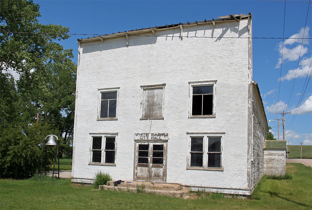
White Earth, ND City Hall
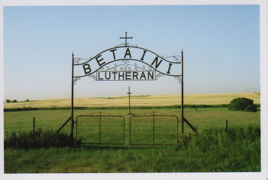
Betaini Lutheran
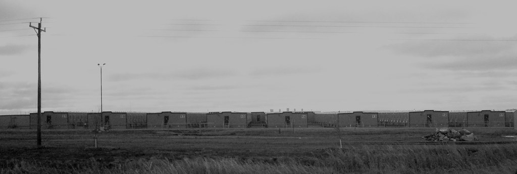
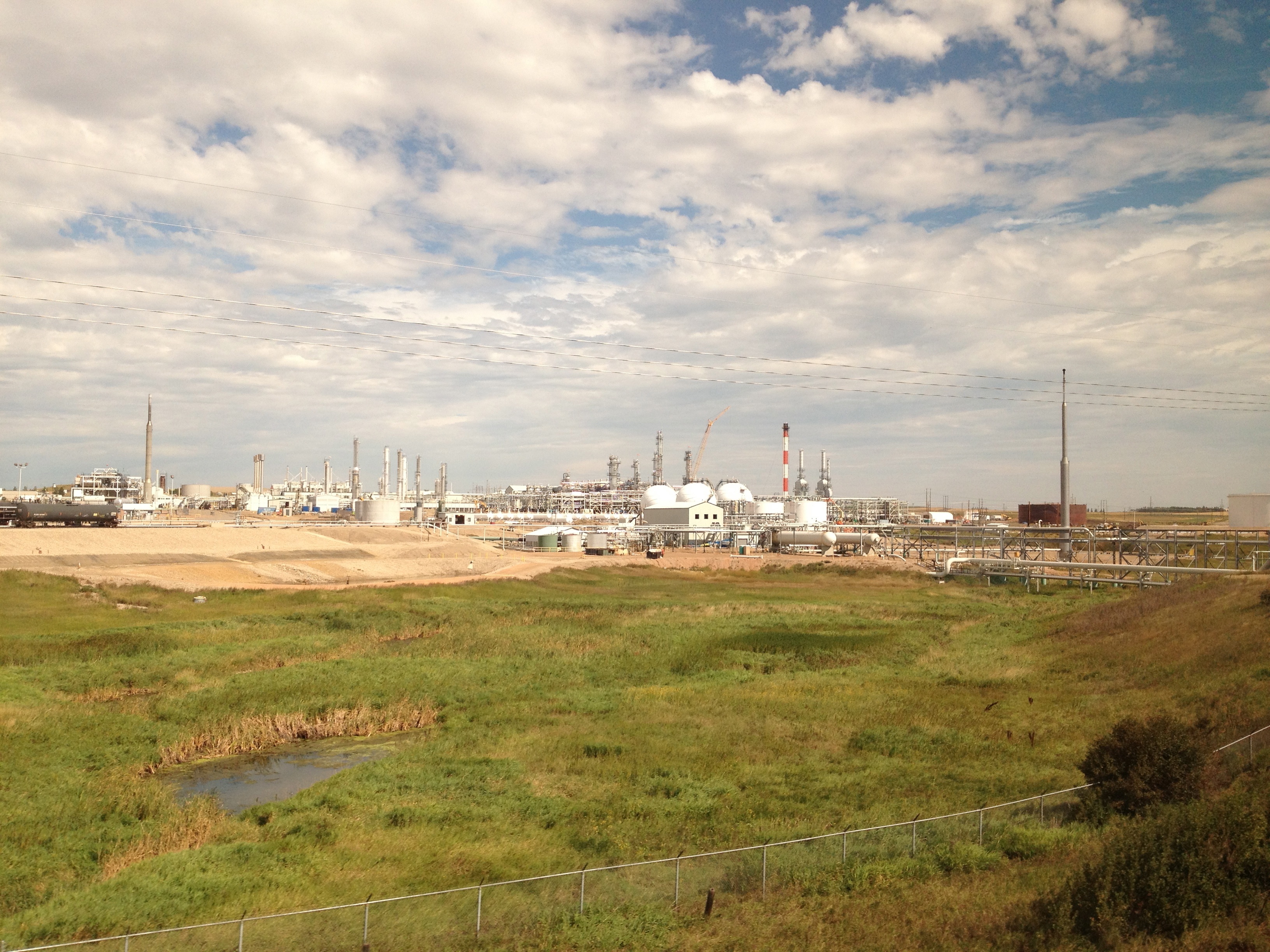
Oil field camp

Cozy. #amtrak

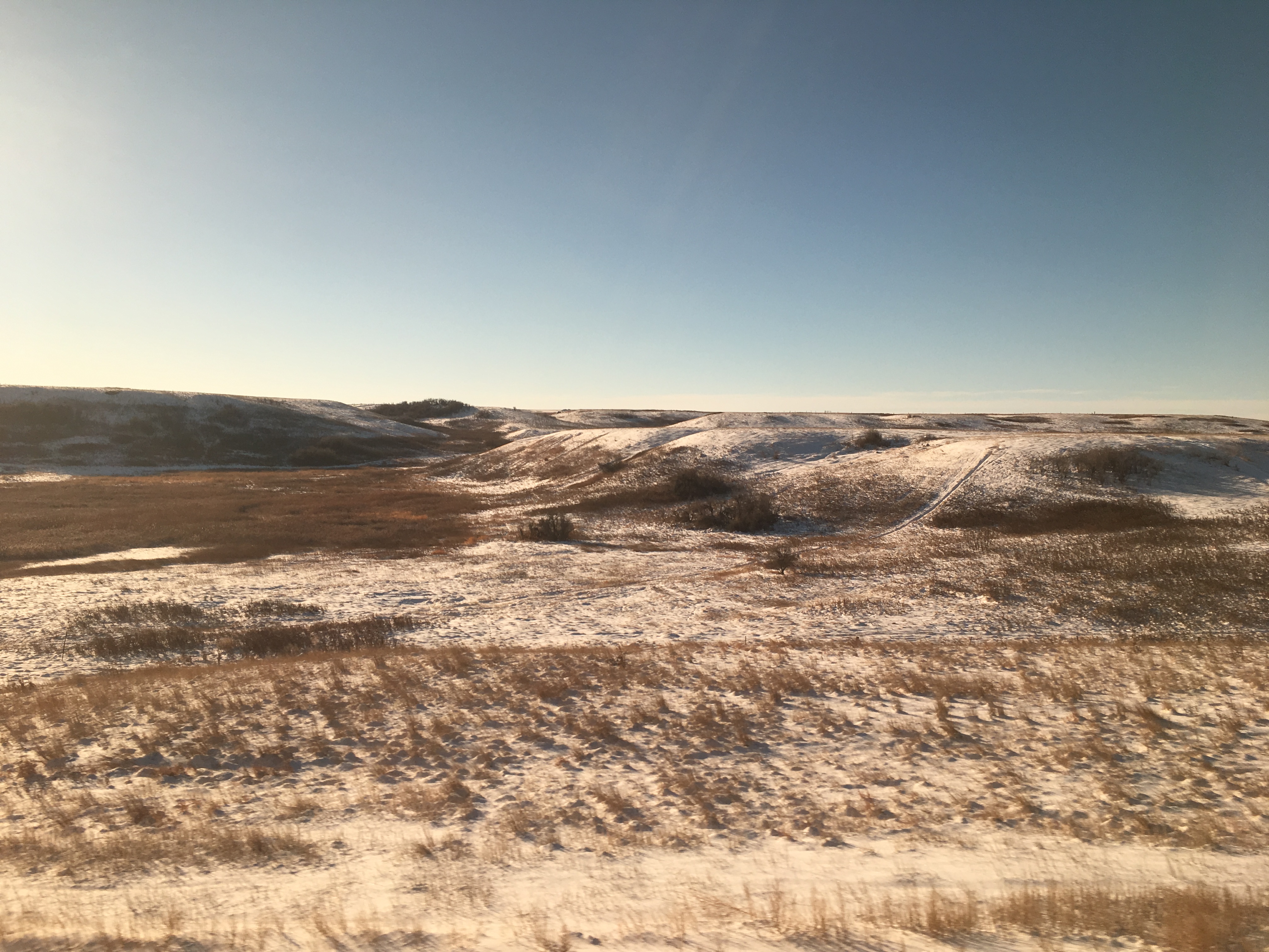
Stand of trees during early snowfall
Life in a Northern Town

DRUNK lady. She bothered us many times.

Tioga Mural

Give me that old-time religion

Fallen From Grace
Topographic Map of Tioga, ND, USA
Find elevation by address:

Places near Tioga, ND, USA:
Tomahawk Pipeline Construction
Big Meadow
8 Hamlet Ave, Wildrose, ND, USA
Williams County
Main St, Epping, ND, USA
Epping
Keller
Division St, Columbus, ND, USA
Unnamed Road
14 S 4th St, Epping, ND, USA
th Ave NW, Williston, ND, USA
Dublin
5621 131st Ave Nw
5621 131st Ave Nw
Fort Berthold
Crosby
3925 17th Ave Ne
Athens
North Mckenzie
5963 Us-85
Recent Searches:
- Elevation of Royal Ontario Museum, Queens Park, Toronto, ON M5S 2C6, Canada
- Elevation of Groblershoop, South Africa
- Elevation of Power Generation Enterprises | Industrial Diesel Generators, Oak Ave, Canyon Country, CA, USA
- Elevation of Chesaw Rd, Oroville, WA, USA
- Elevation of N, Mt Pleasant, UT, USA
- Elevation of 6 Rue Jules Ferry, Beausoleil, France
- Elevation of Sattva Horizon, 4JC6+G9P, Vinayak Nagar, Kattigenahalli, Bengaluru, Karnataka, India
- Elevation of Great Brook Sports, Gold Star Hwy, Groton, CT, USA
- Elevation of 10 Mountain Laurels Dr, Nashua, NH, USA
- Elevation of 16 Gilboa Ln, Nashua, NH, USA