Elevation of McCoy Rd, Belt, MT, USA
Location: United States > Montana > Cascade County > Belt >
Longitude: -111.04475
Latitude: 47.337703
Elevation: 1271m / 4170feet
Barometric Pressure: 87KPa
Elevation Map:
Satellite Map:
Related Photos:
Fife, Montana 59439
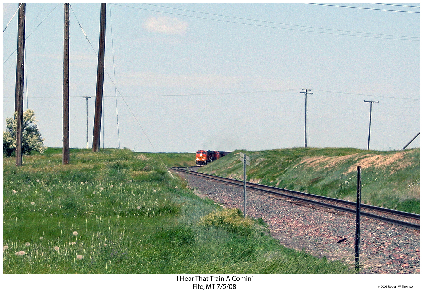
I Hear That Train A Comin'
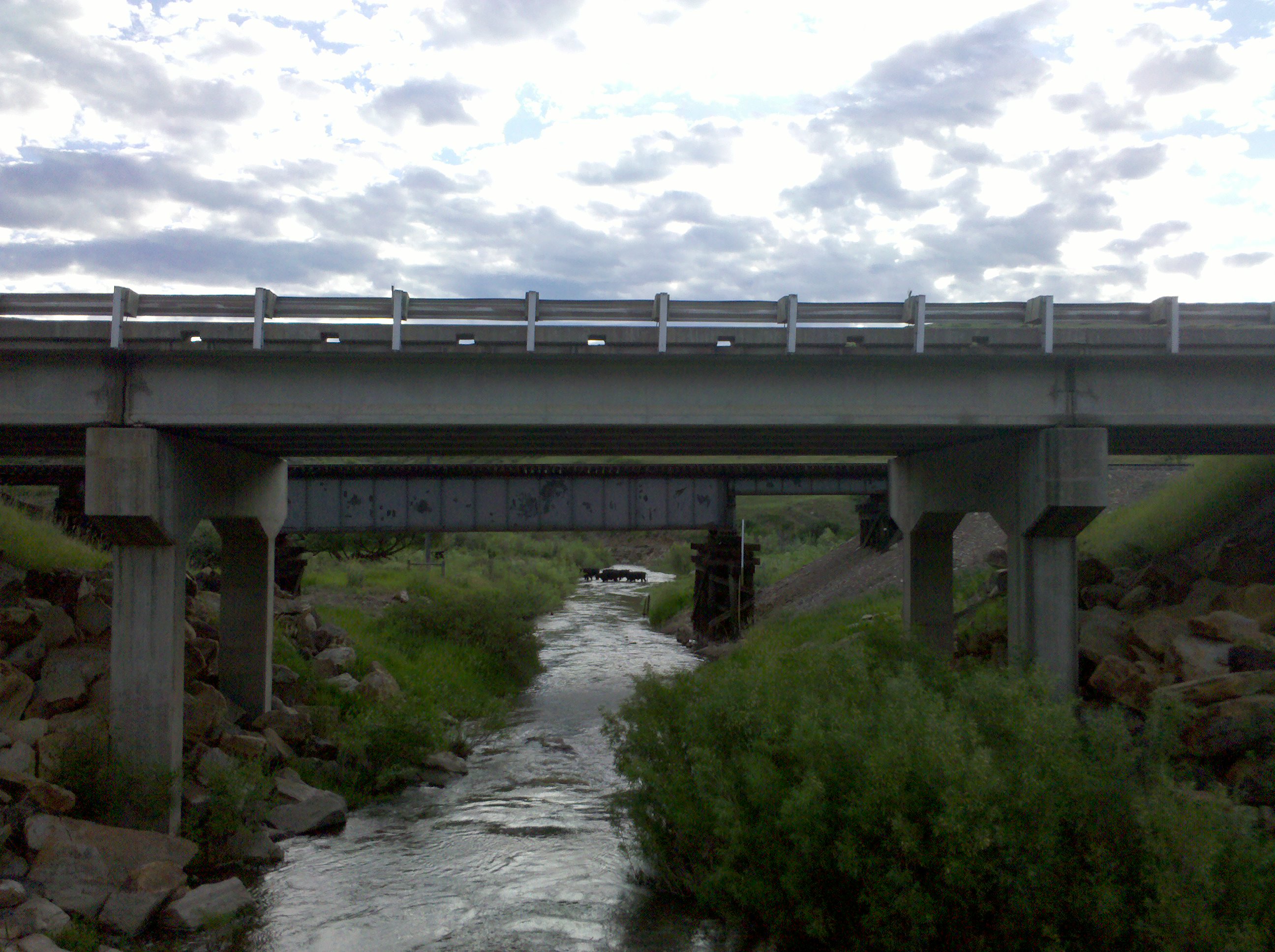
Cattle crossing!
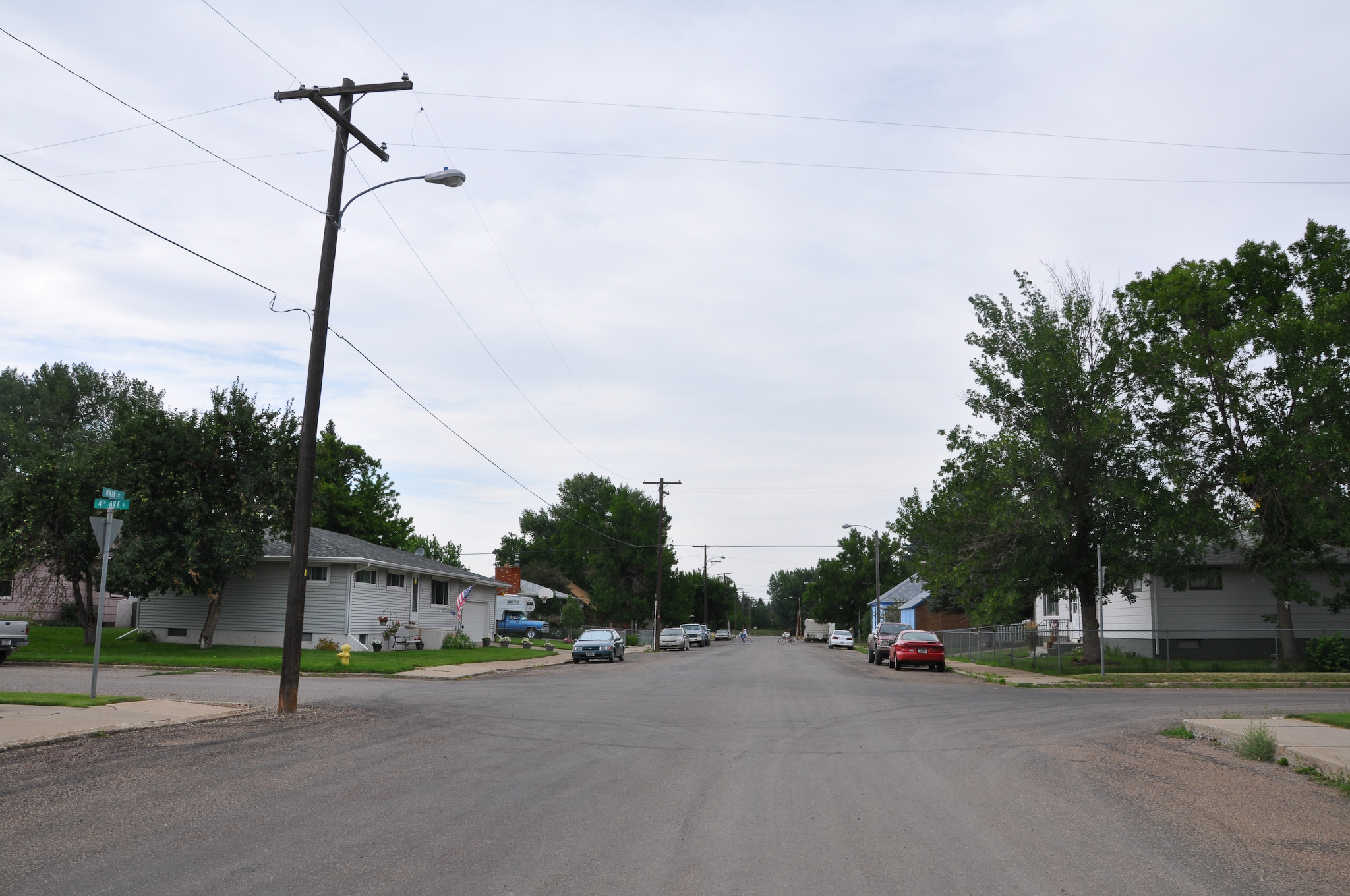
MappingMainStreet_BeltMT-5
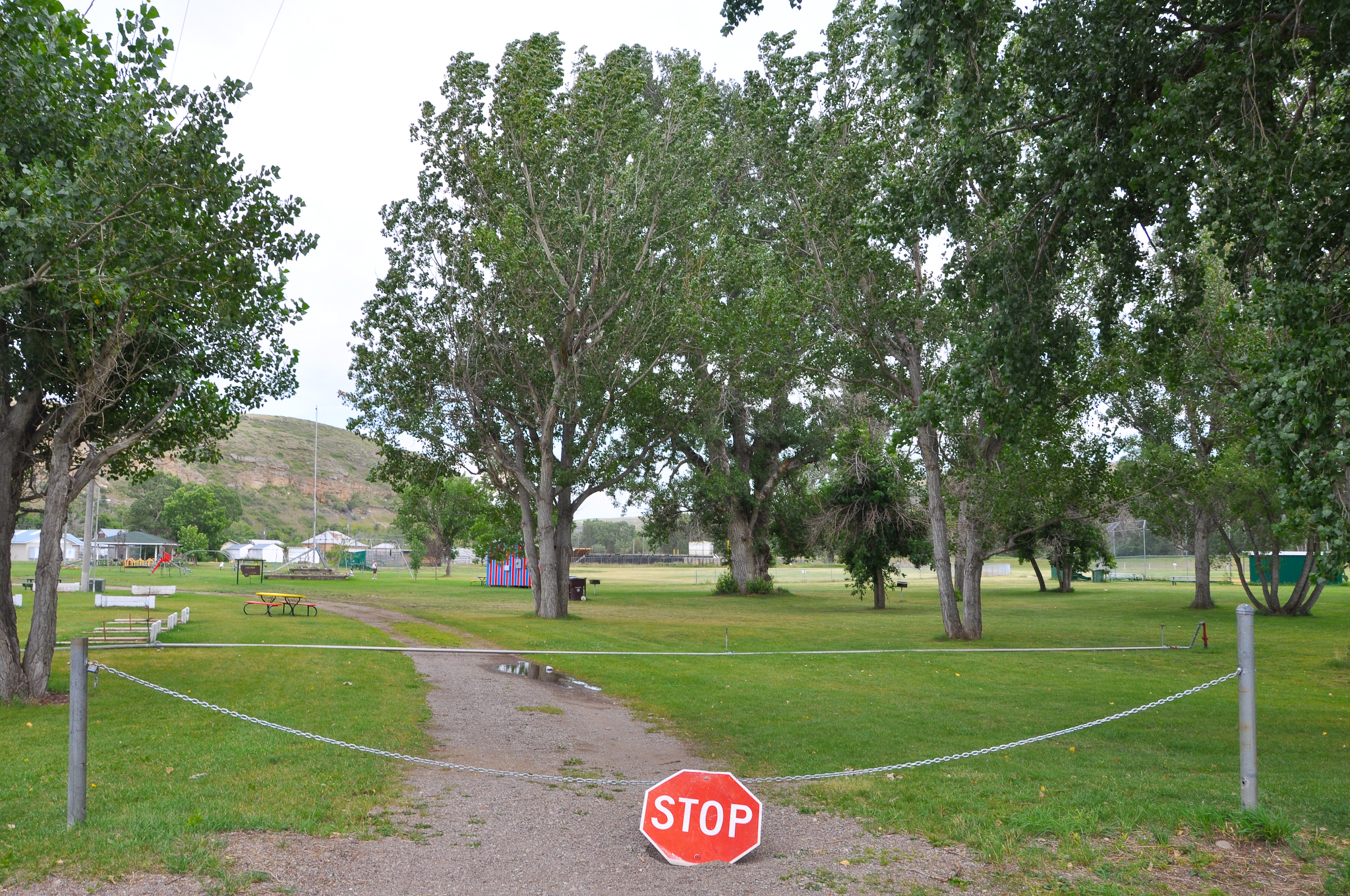
MappingMainStreet_BeltMT-3

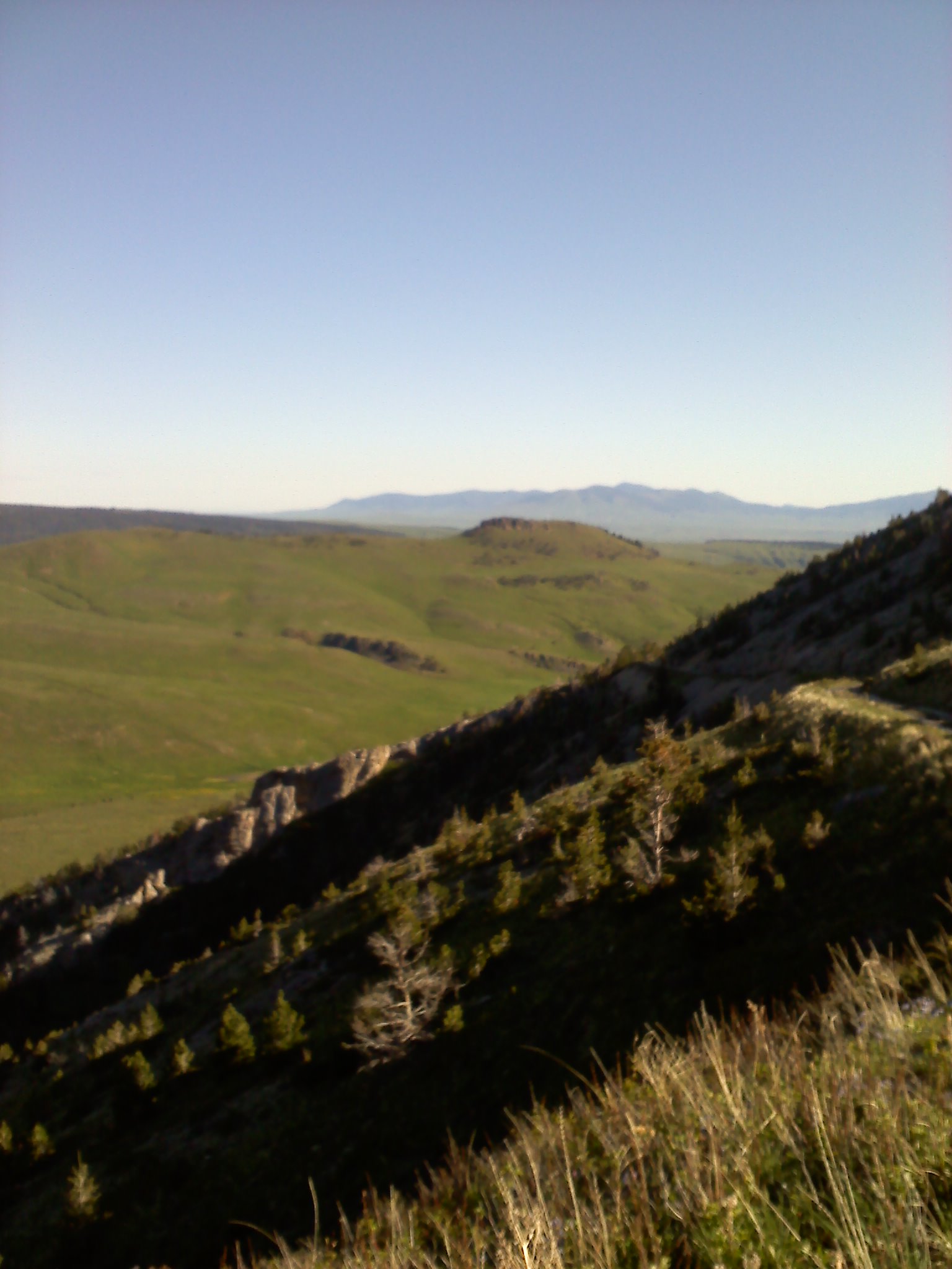
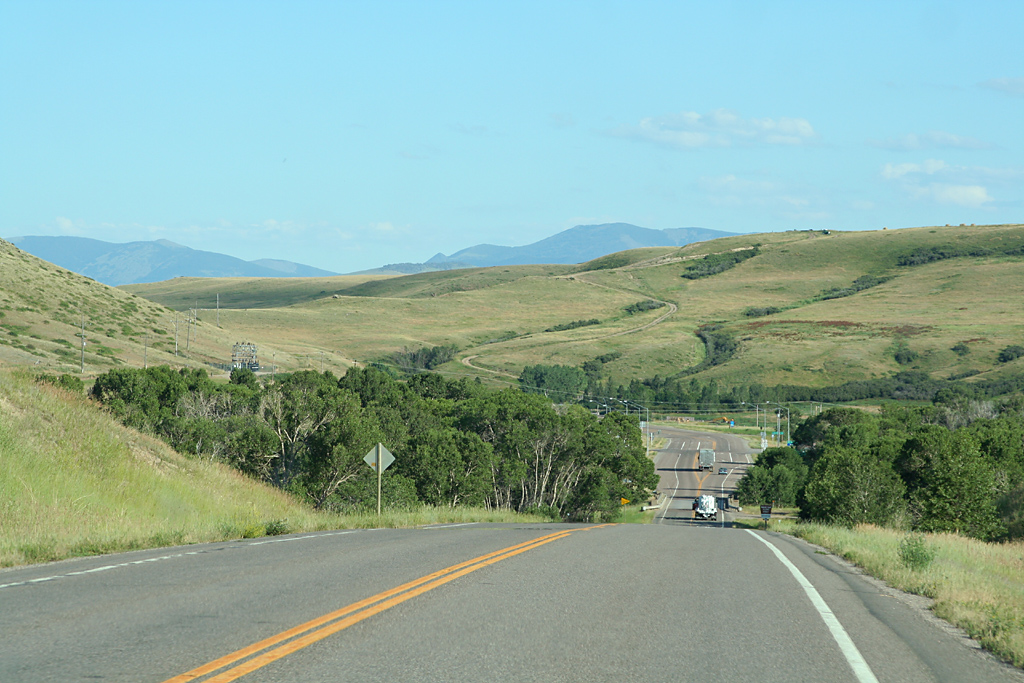
Highway Views

M-LAUSHE
20130609083410.jpg

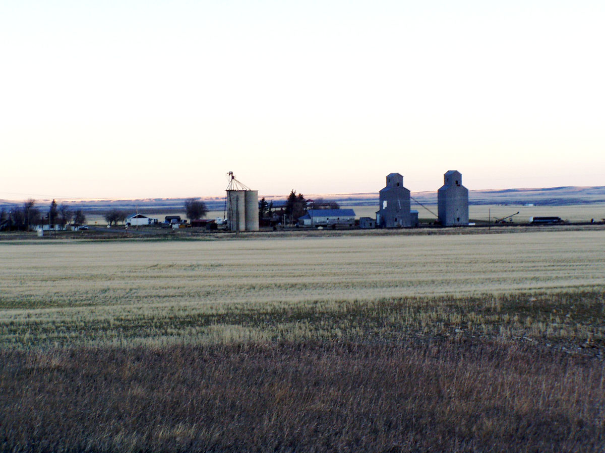
Three Grain Bins
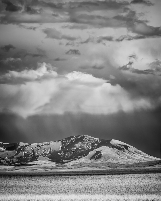
Storm Over South Peak
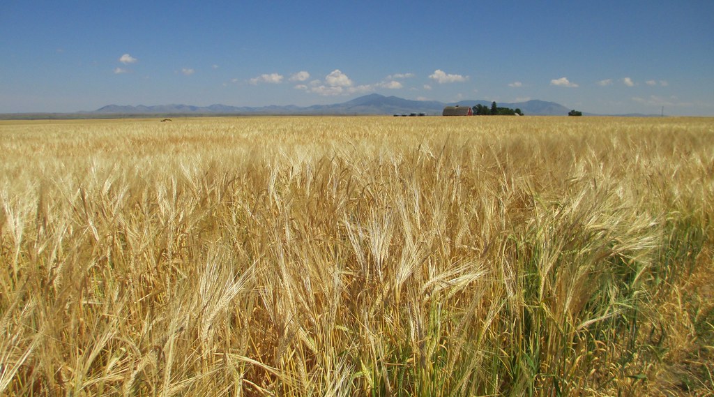
Montana Wheat Field (Cascade County, Montana)
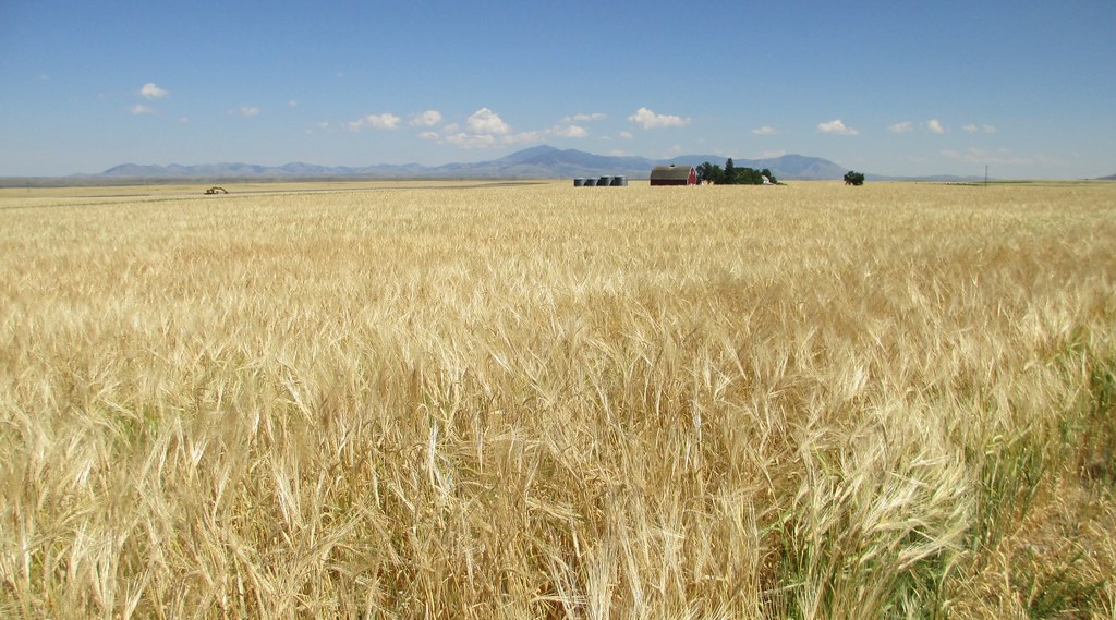
Montana Wheat Field (Cascade County, Montana)

Selstrom School
20130609083359.jpg

Rainbow over the Belt Mountains
branding 111
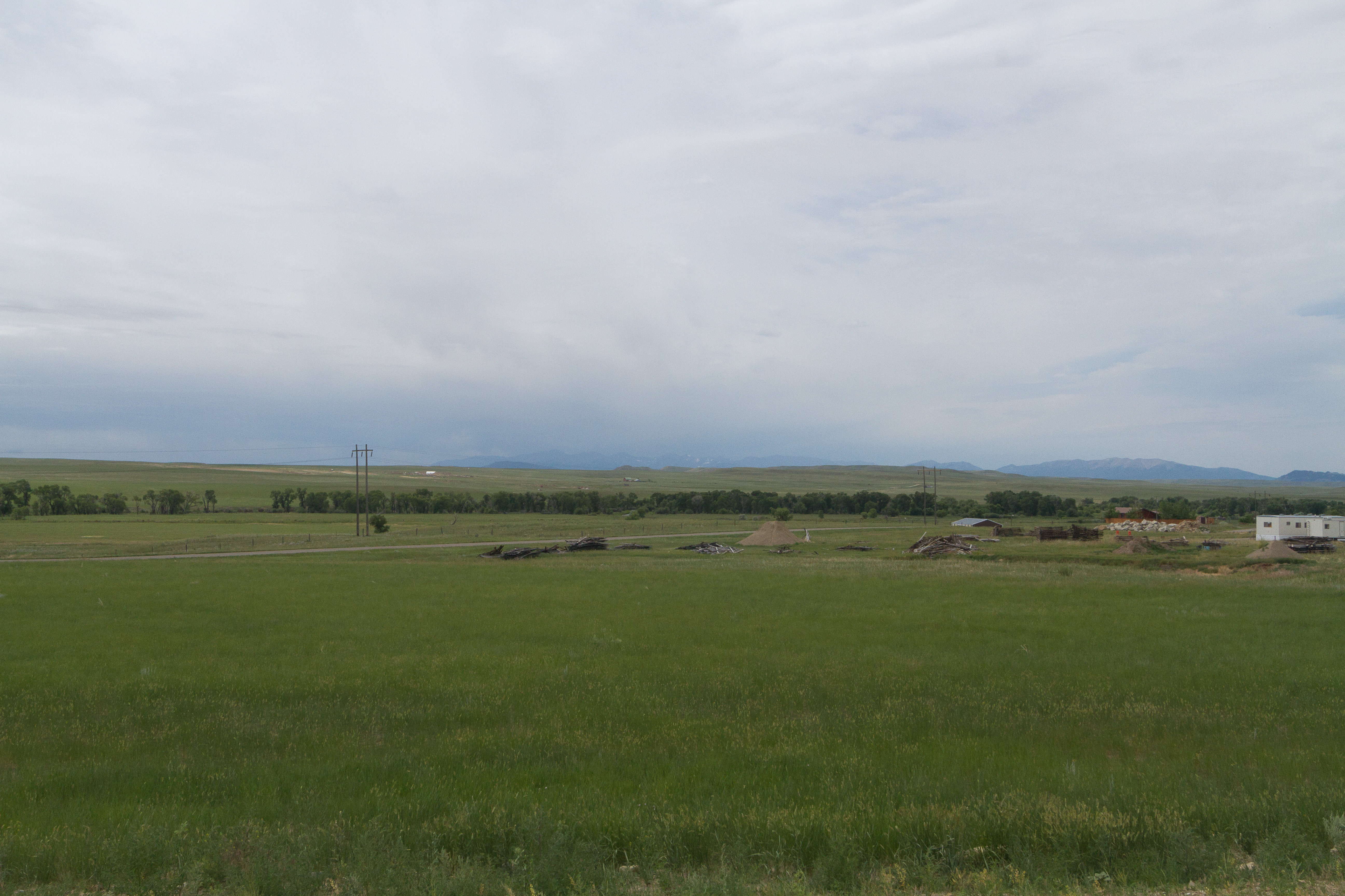
Pleasant Valley - Dairy Parlour - 231

driving 008
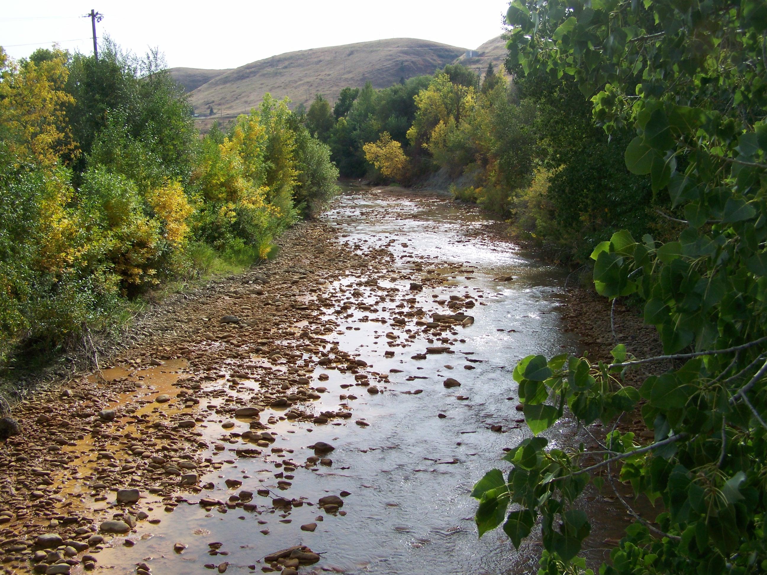
Belt Creek- Belt MT
AEB201307160011.jpg
day5-16
Topographic Map of McCoy Rd, Belt, MT, USA
Find elevation by address:

Places near McCoy Rd, Belt, MT, USA:
7661 Us-89
Belt
Belt Post Office
44 MT-, Belt, MT, USA
31 Evans Riceville Rd, Belt, MT, USA
472 Evans Riceville Rd
474 Evans Riceville Rd
Highwood Rd, Great Falls, MT, USA
Monarch Mountain
Powerline Rd, Floweree, MT, USA
Floweree
Carter
Carter Bar
619 Main St
Neihart
Spud Ln, Fort Benton, MT, USA
Many Pines Campground
Porphyry Peak
Meagher County
Stanford, MT, USA
Recent Searches:
- Elevation of Groblershoop, South Africa
- Elevation of Power Generation Enterprises | Industrial Diesel Generators, Oak Ave, Canyon Country, CA, USA
- Elevation of Chesaw Rd, Oroville, WA, USA
- Elevation of N, Mt Pleasant, UT, USA
- Elevation of 6 Rue Jules Ferry, Beausoleil, France
- Elevation of Sattva Horizon, 4JC6+G9P, Vinayak Nagar, Kattigenahalli, Bengaluru, Karnataka, India
- Elevation of Great Brook Sports, Gold Star Hwy, Groton, CT, USA
- Elevation of 10 Mountain Laurels Dr, Nashua, NH, USA
- Elevation of 16 Gilboa Ln, Nashua, NH, USA
- Elevation of Laurel Rd, Townsend, TN, USA