Elevation of Powerline Rd, Floweree, MT, USA
Location: United States > Montana > Cascade County > Floweree >
Longitude: -111.08038
Latitude: 47.691313
Elevation: 978m / 3209feet
Barometric Pressure: 90KPa
Elevation Map:
Satellite Map:
Related Photos:
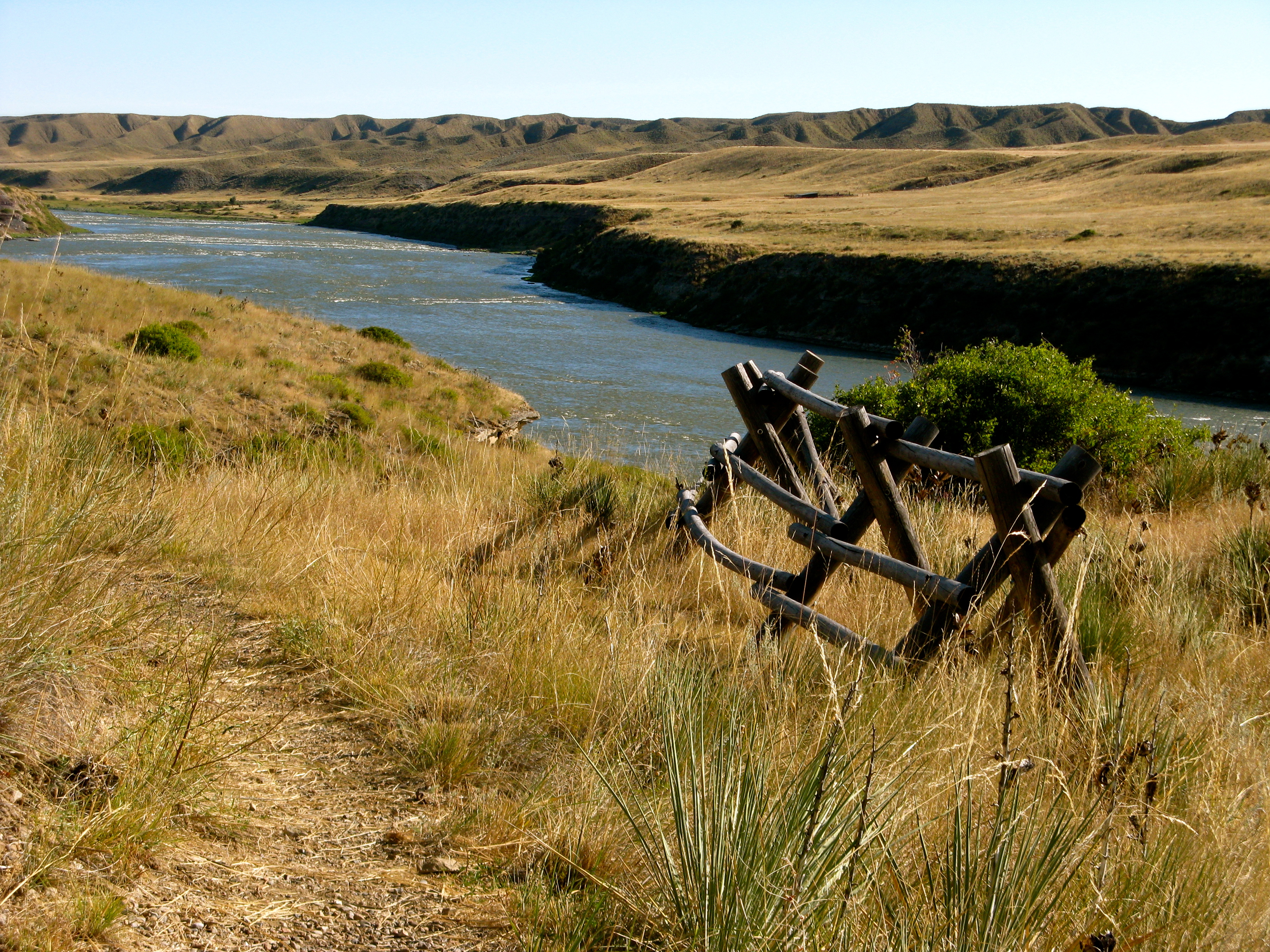
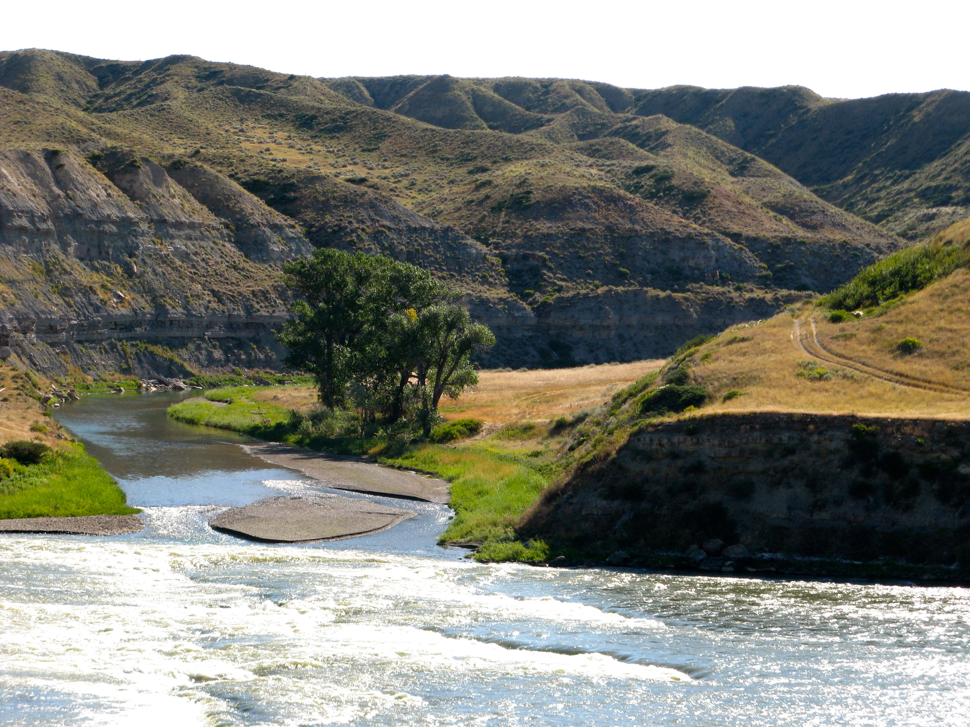
Missouri River. East of Great Falls,Montana
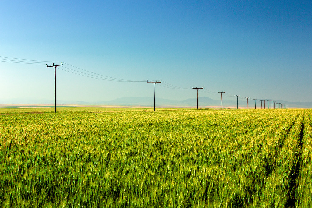
Lining a Sea of Green
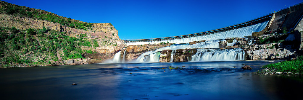
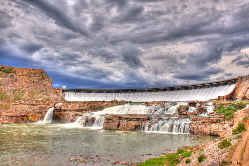
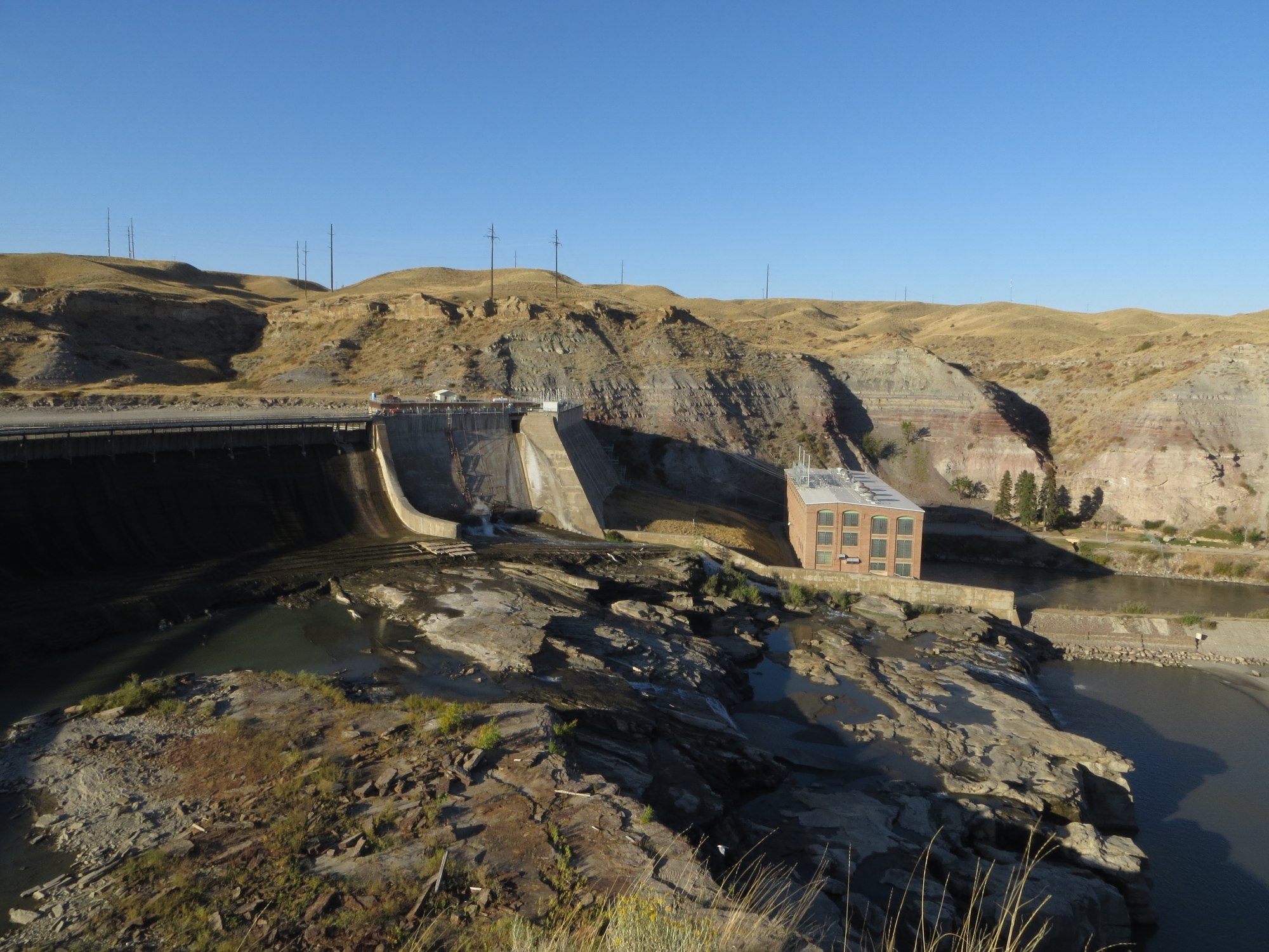
Ryan Dam
Ryan Dam Time Lapse

Big Sky Journal | Full Page Photo
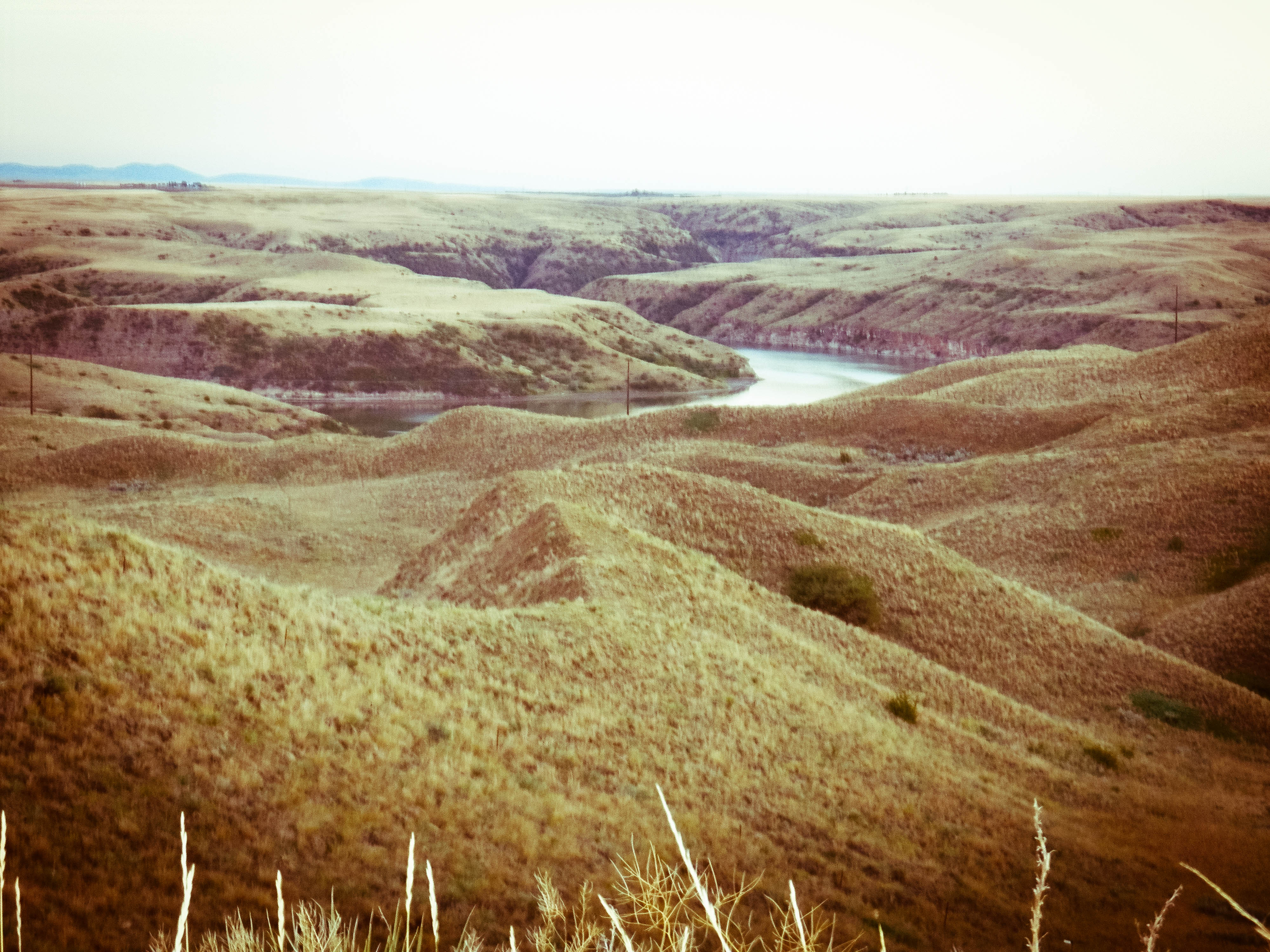
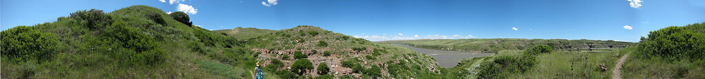
River Breaks
Missouri River - near Ryan Dam
Ryan dam
Montana Falls

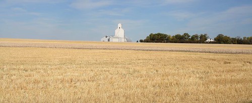
Bridge 475-03
Missouri River and Belt Creek. Montana
Sulphur Springs Trail
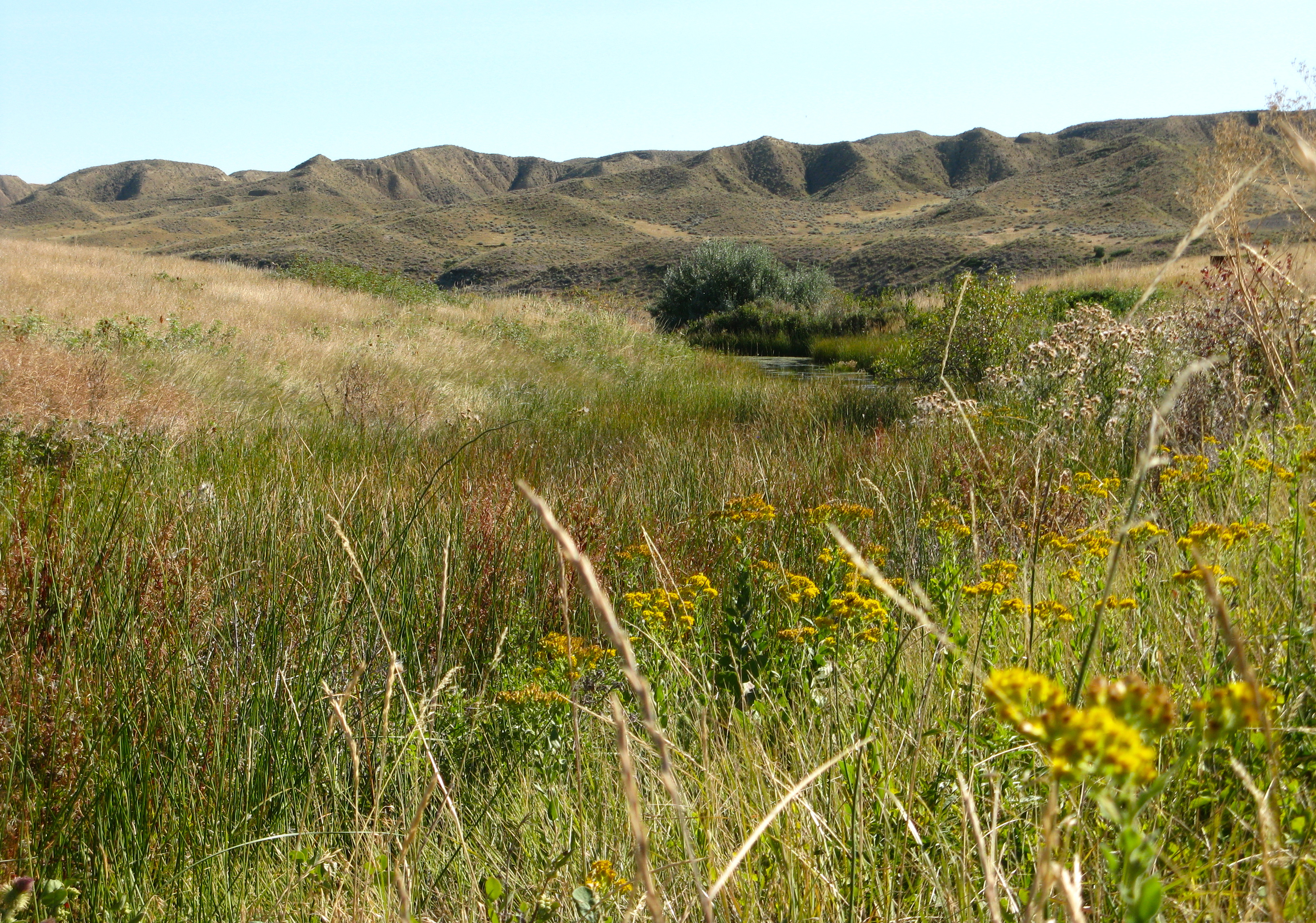
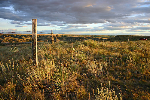
Montana Prairie

Missouri River, MT
Great Falls MT Sep05 _30 (2)
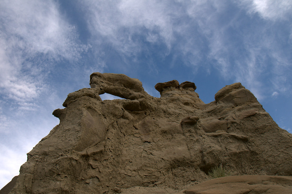
Castle Rock 2
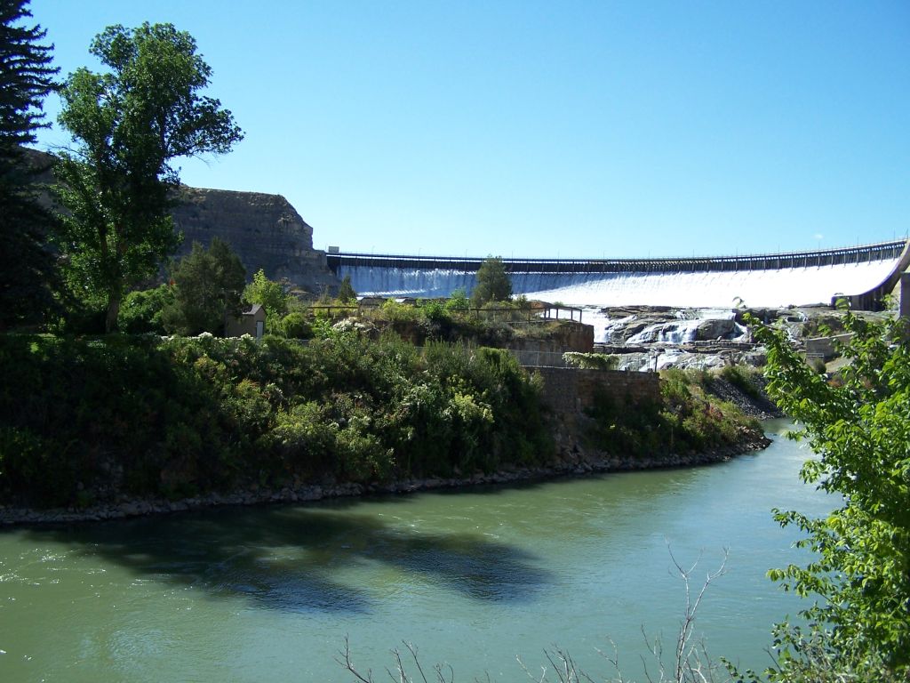
Ryan Dam, Missouri River

414 Montana, Great Falls, Power Station & Outflow

So these are the Great Falls of MT
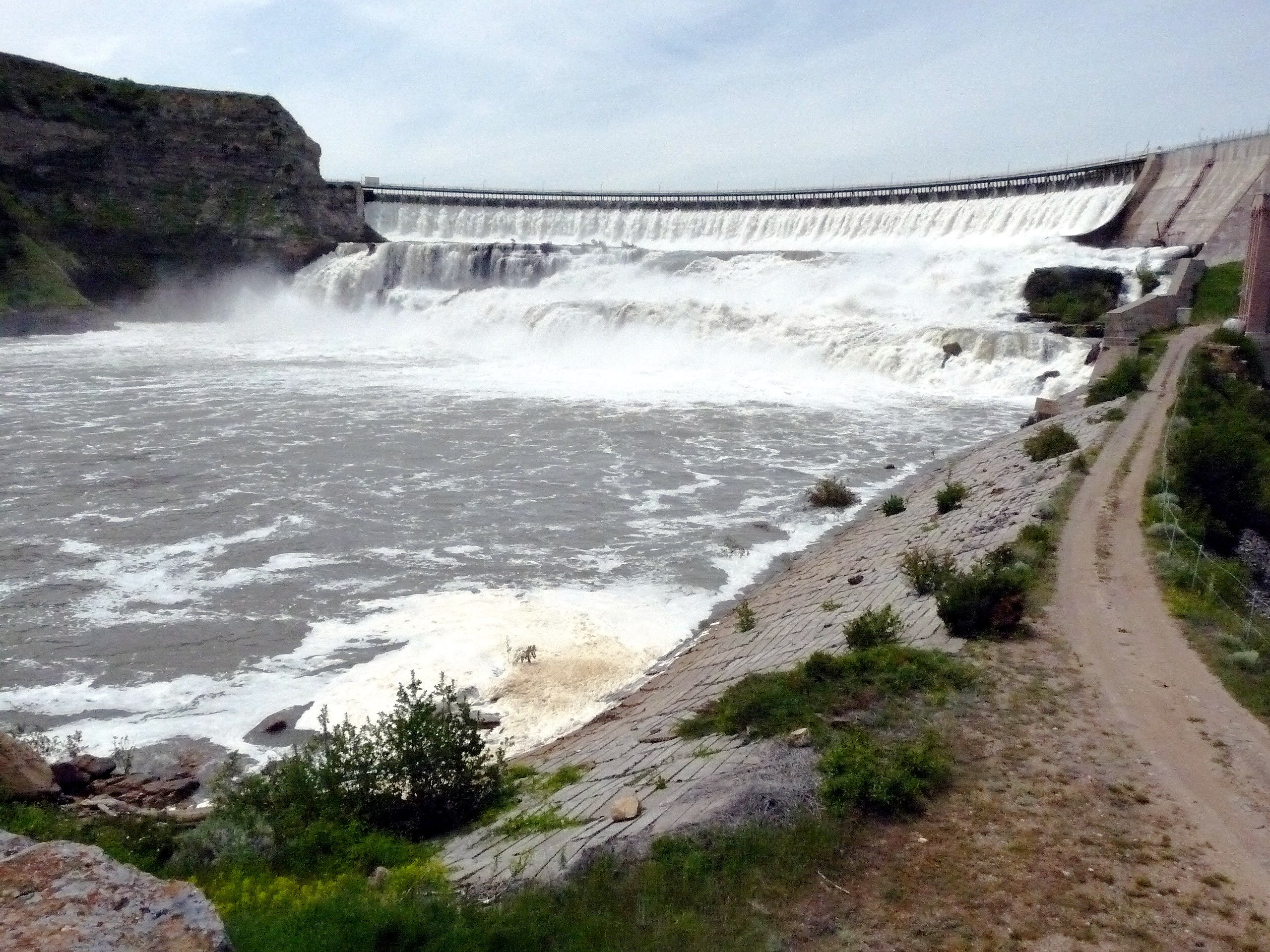
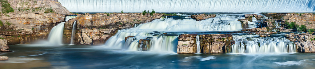
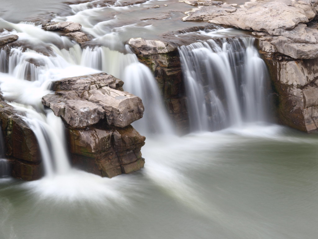
416 Montana, Great Falls, The Great Falls Of The Missouri
Great Falls of the Missouri, Ryan Island
Topographic Map of Powerline Rd, Floweree, MT, USA
Find elevation by address:

Places near Powerline Rd, Floweree, MT, USA:
Floweree
Carter Bar
Carter
Highwood Rd, Great Falls, MT, USA
Spud Ln, Fort Benton, MT, USA
7661 Us-89
Belt
Belt Post Office
McCoy Rd, Belt, MT, USA
44 MT-, Belt, MT, USA
31 Evans Riceville Rd, Belt, MT, USA
472 Evans Riceville Rd
474 Evans Riceville Rd
Monarch Mountain
619 Main St
Neihart
Many Pines Campground
Porphyry Peak
Stanford, MT, USA
Montana 200
Recent Searches:
- Elevation of Gateway Blvd SE, Canton, OH, USA
- Elevation of East W.T. Harris Boulevard, E W.T. Harris Blvd, Charlotte, NC, USA
- Elevation of West Sugar Creek, Charlotte, NC, USA
- Elevation of Wayland, NY, USA
- Elevation of Steadfast Ct, Daphne, AL, USA
- Elevation of Lagasgasan, X+CQH, Tiaong, Quezon, Philippines
- Elevation of Rojo Ct, Atascadero, CA, USA
- Elevation of Flagstaff Drive, Flagstaff Dr, North Carolina, USA
- Elevation of Avery Ln, Lakeland, FL, USA
- Elevation of Woolwine, VA, USA