Elevation of Monarch Mountain, Montana, USA
Location: United States > Montana > Cascade County > Belt >
Longitude: -110.83216
Latitude: 47.0610726
Elevation: 1674m / 5492feet
Barometric Pressure: 83KPa
Elevation Map:
Satellite Map:
Related Photos:
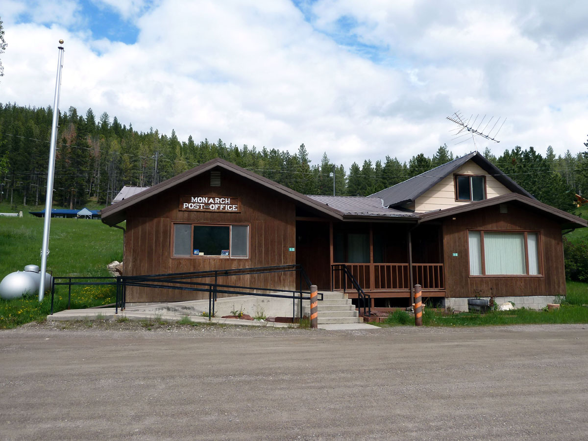
Monarch, Montana 59463
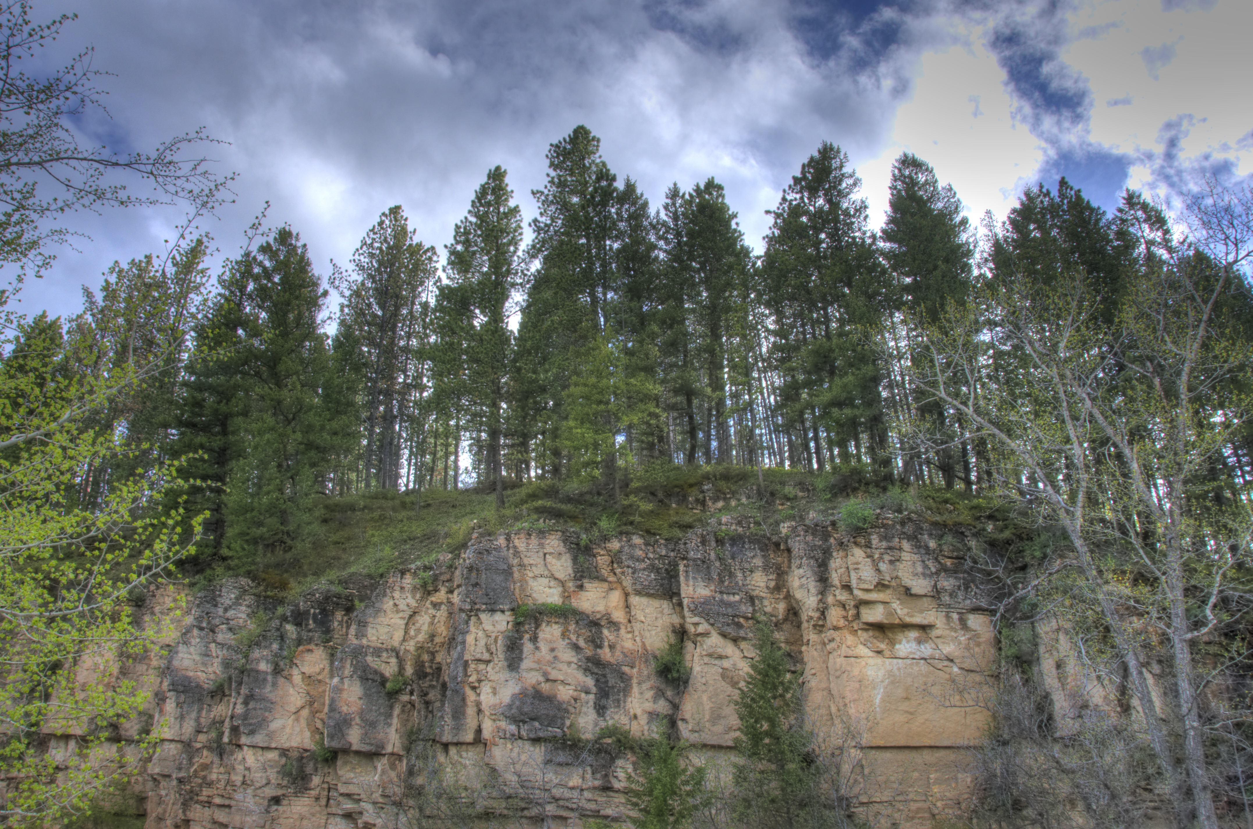
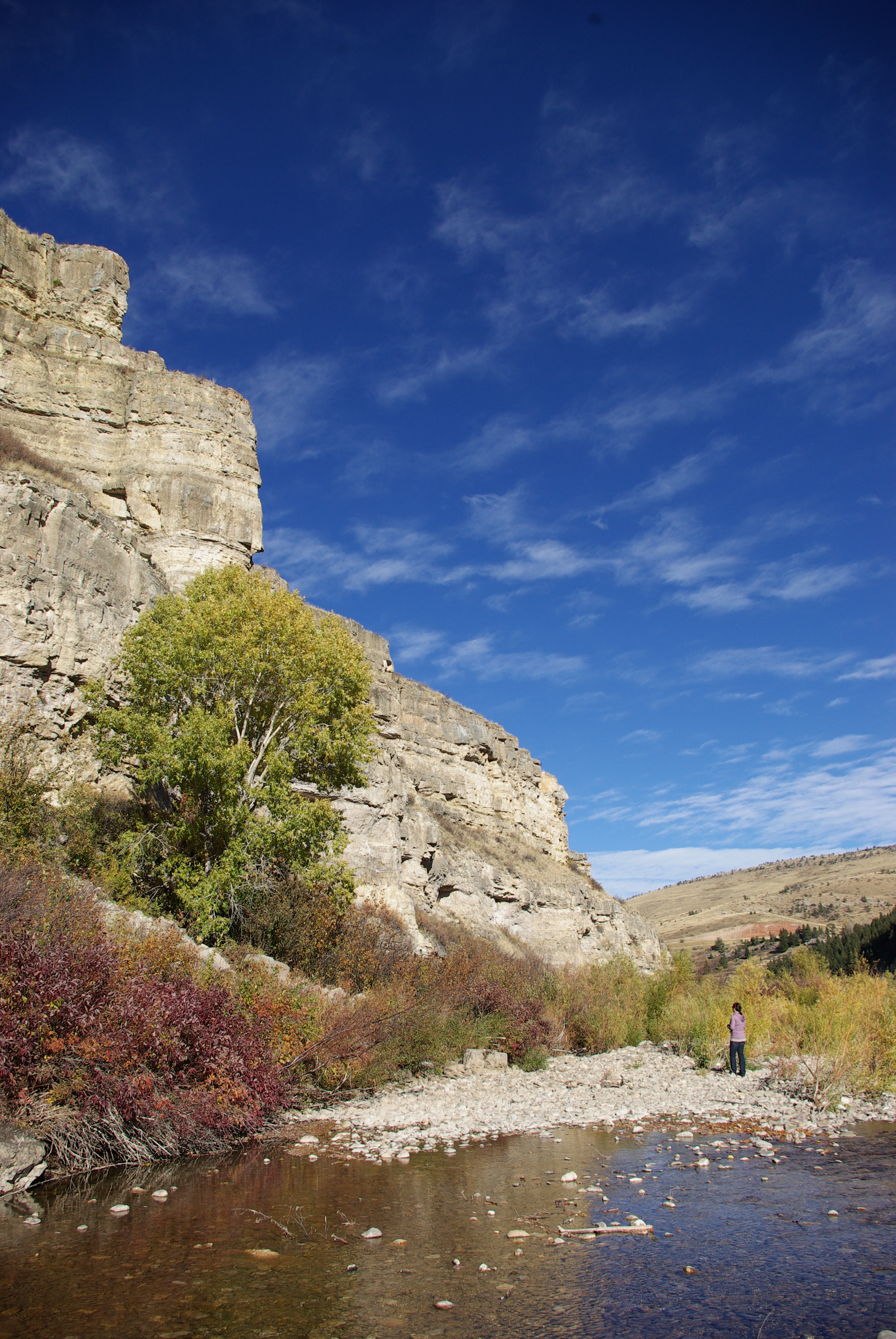
Cliff View
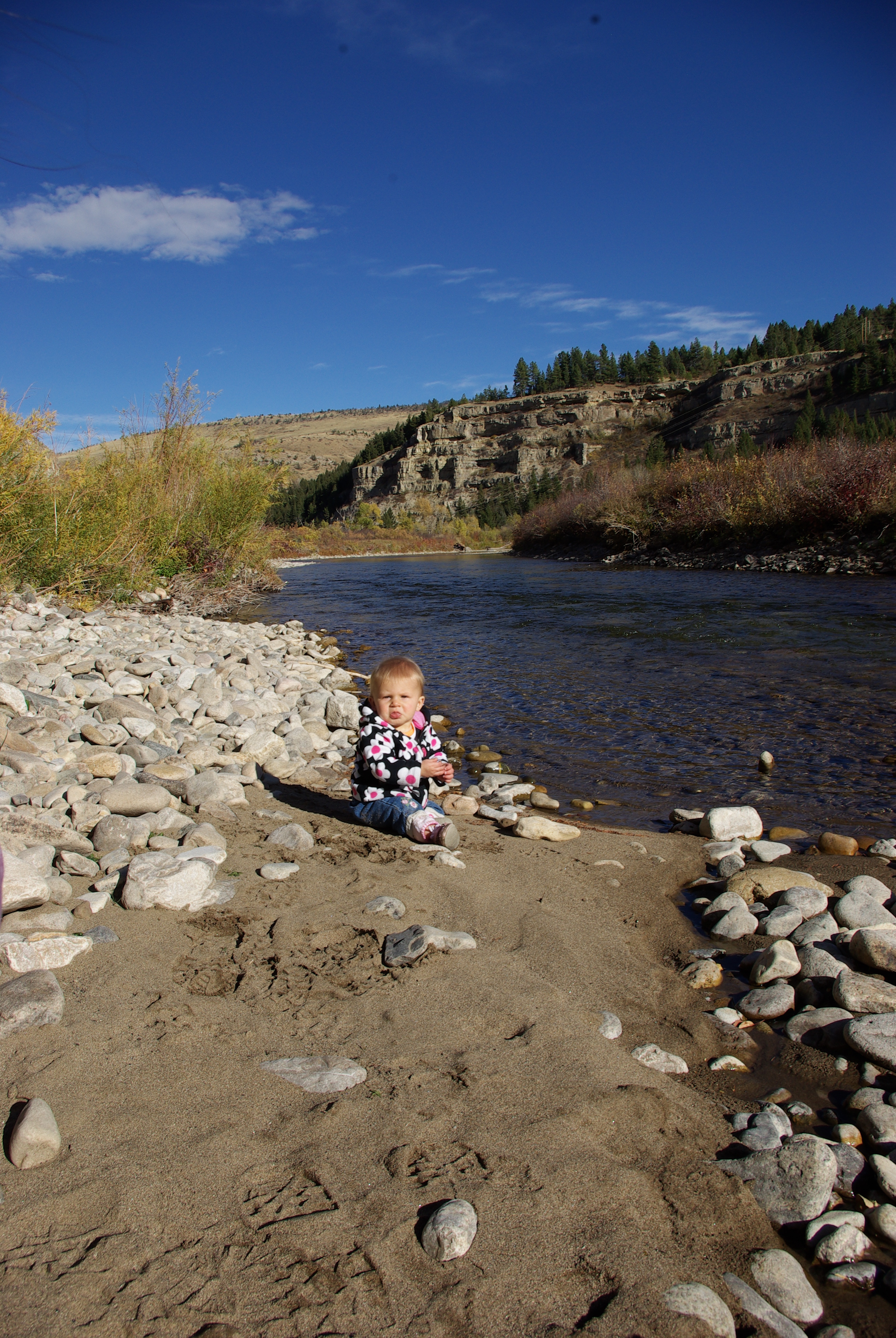
Fish's Eye View
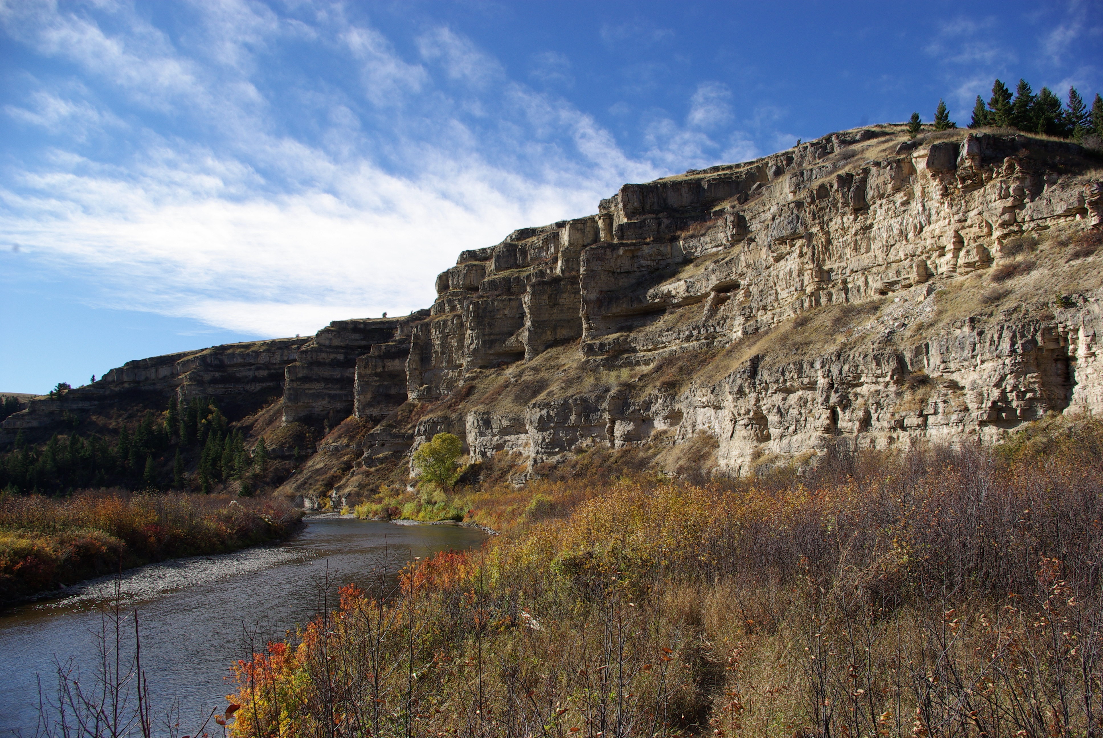
Sluice Boxes State Park
Sluice Boxes State Park
Sluice Boxes State Park

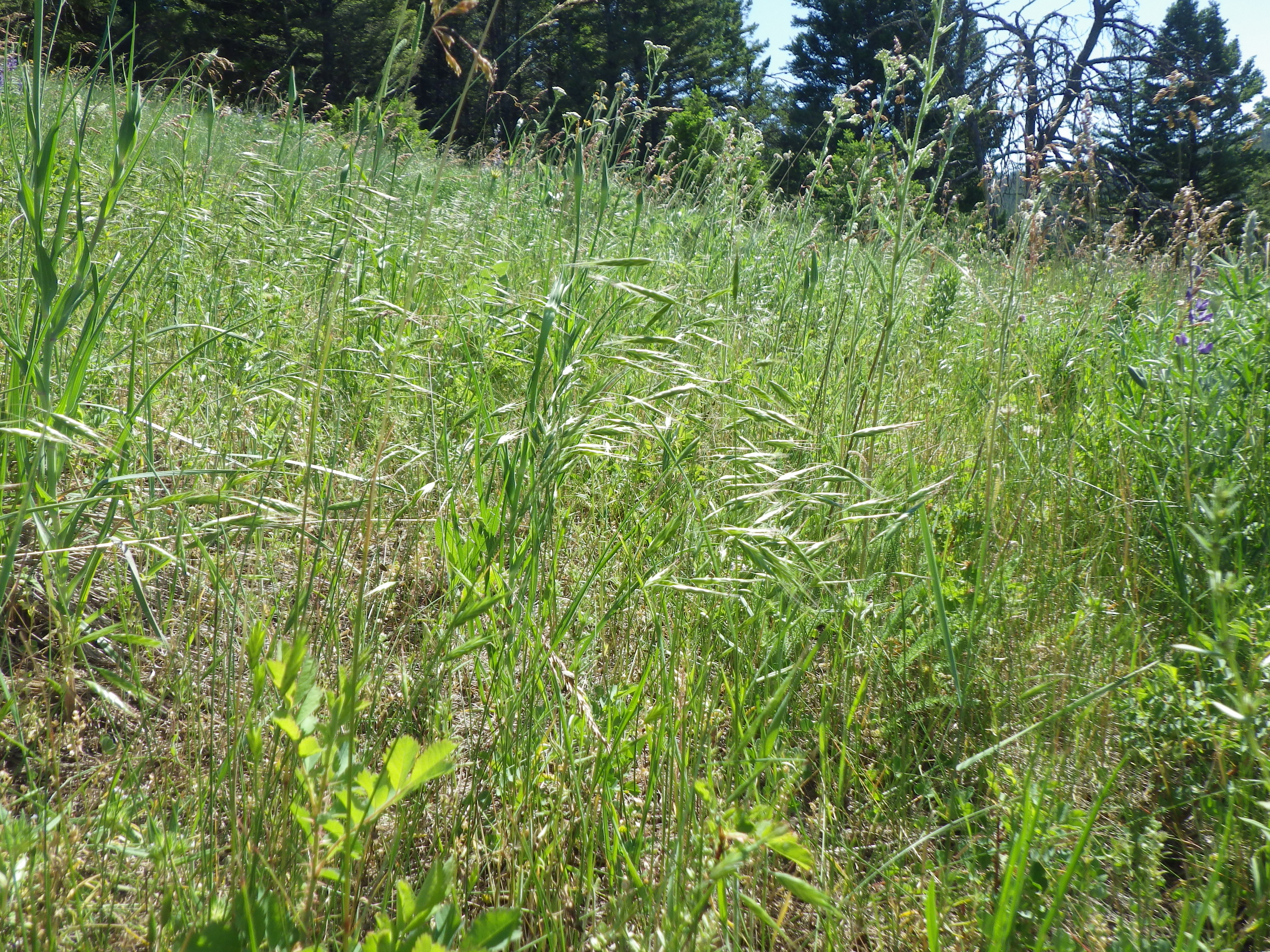
Bales Galore
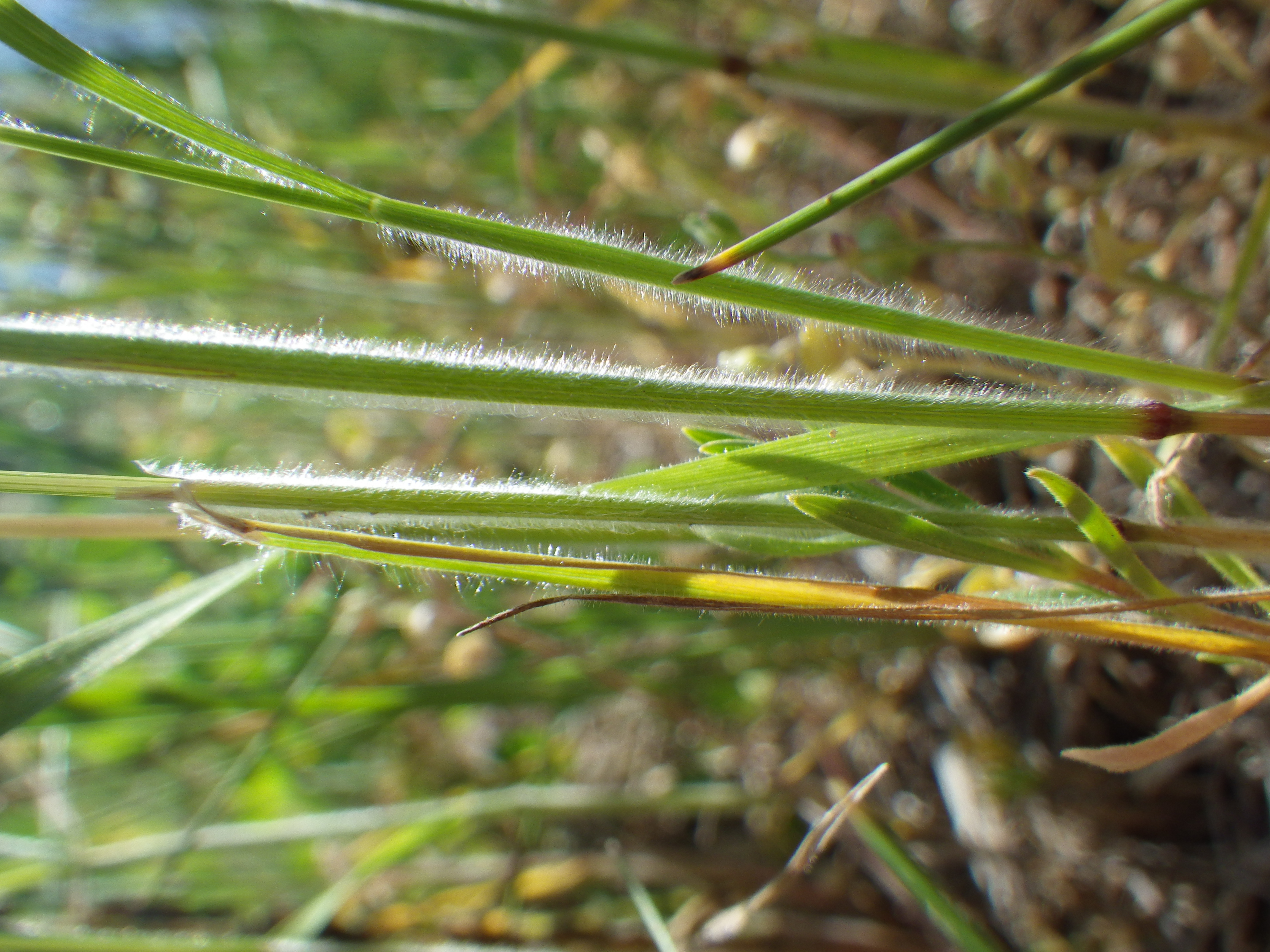
Bromus japonicus
Bromus japonicus
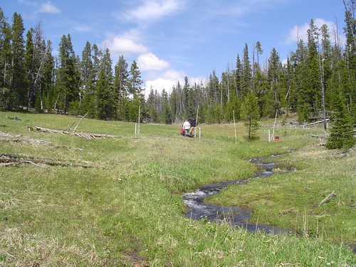
Stringer Creek
Topographic Map of Monarch Mountain, Montana, USA
Find elevation by address:

Places near Monarch Mountain, Montana, USA:
619 Main St
Neihart
474 Evans Riceville Rd
472 Evans Riceville Rd
31 Evans Riceville Rd, Belt, MT, USA
Many Pines Campground
Porphyry Peak
44 MT-, Belt, MT, USA
Belt Post Office
Belt
McCoy Rd, Belt, MT, USA
7661 Us-89
Meagher County
Stanford, MT, USA
Highwood Rd, Great Falls, MT, USA
Montana
White Sulphur Springs
4260 Us-12
110 S Central Ave
Judith Basin County
Recent Searches:
- Elevation of Corso Fratelli Cairoli, 35, Macerata MC, Italy
- Elevation of Tallevast Rd, Sarasota, FL, USA
- Elevation of 4th St E, Sonoma, CA, USA
- Elevation of Black Hollow Rd, Pennsdale, PA, USA
- Elevation of Oakland Ave, Williamsport, PA, USA
- Elevation of Pedrógão Grande, Portugal
- Elevation of Klee Dr, Martinsburg, WV, USA
- Elevation of Via Roma, Pieranica CR, Italy
- Elevation of Tavkvetili Mountain, Georgia
- Elevation of Hartfords Bluff Cir, Mt Pleasant, SC, USA