Elevation of US-89, Belt, MT, USA
Location: United States > Montana > Cascade County > Belt >
Longitude: -110.95812
Latitude: 47.414099
Elevation: 1154m / 3786feet
Barometric Pressure: 88KPa
Elevation Map:
Satellite Map:
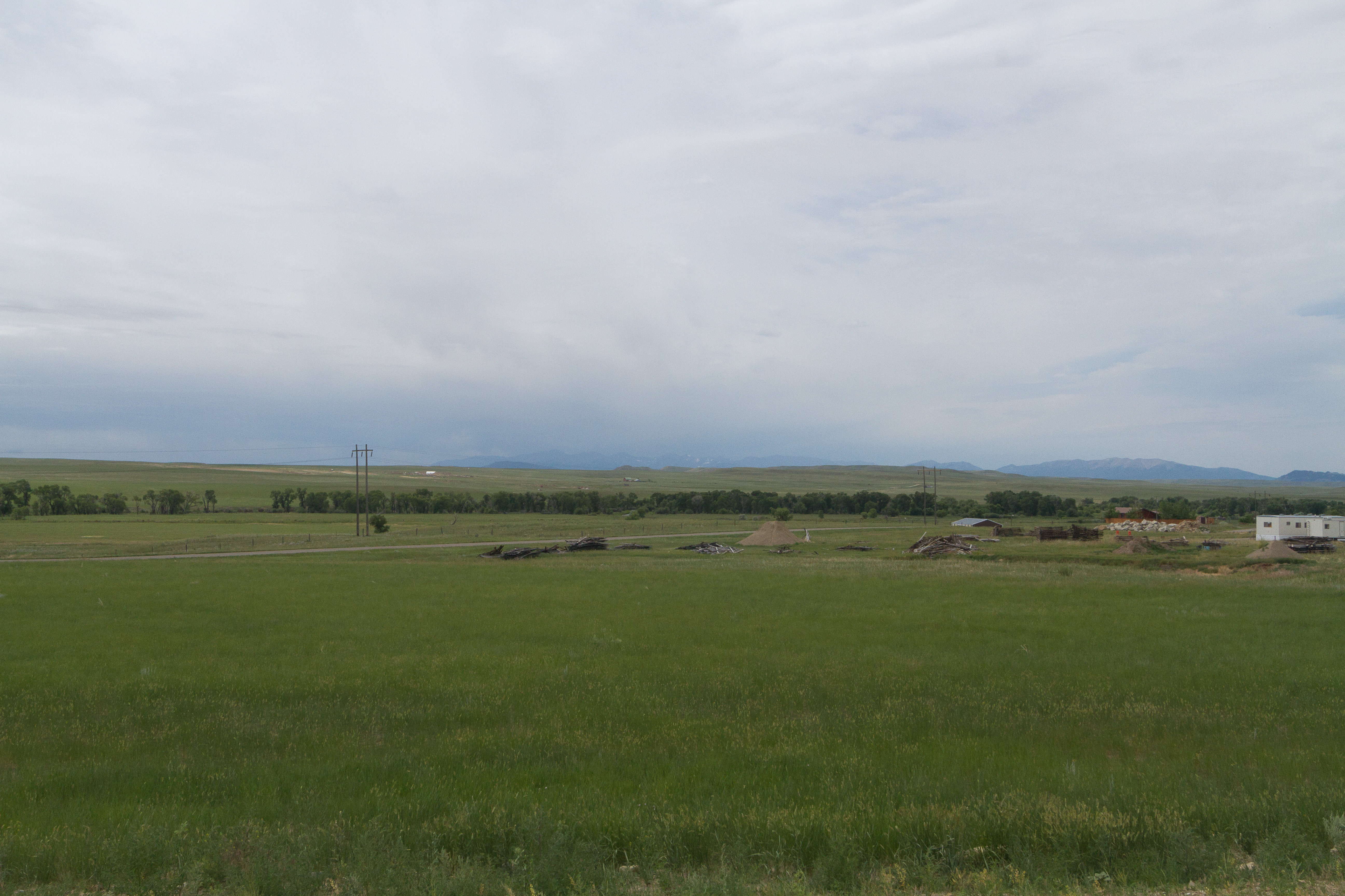
Related Photos:
Fife, Montana 59439
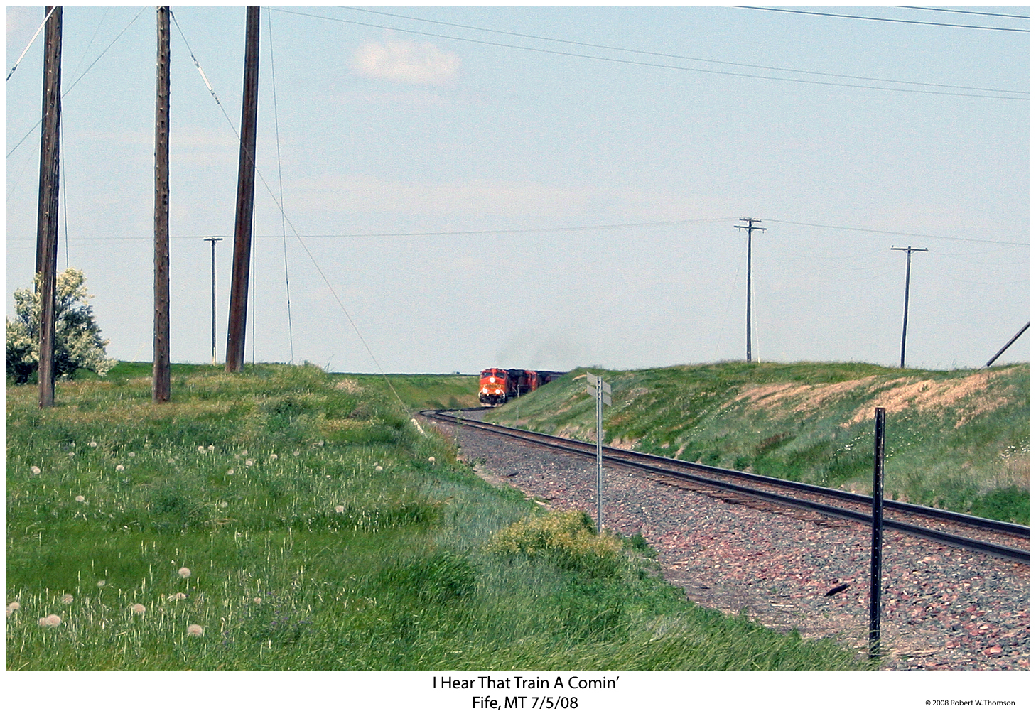
I Hear That Train A Comin'
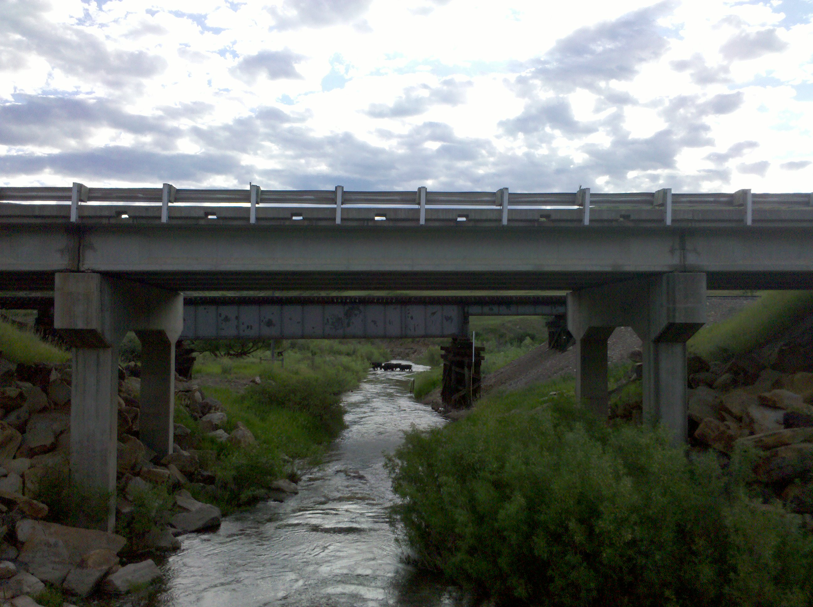
Cattle crossing!
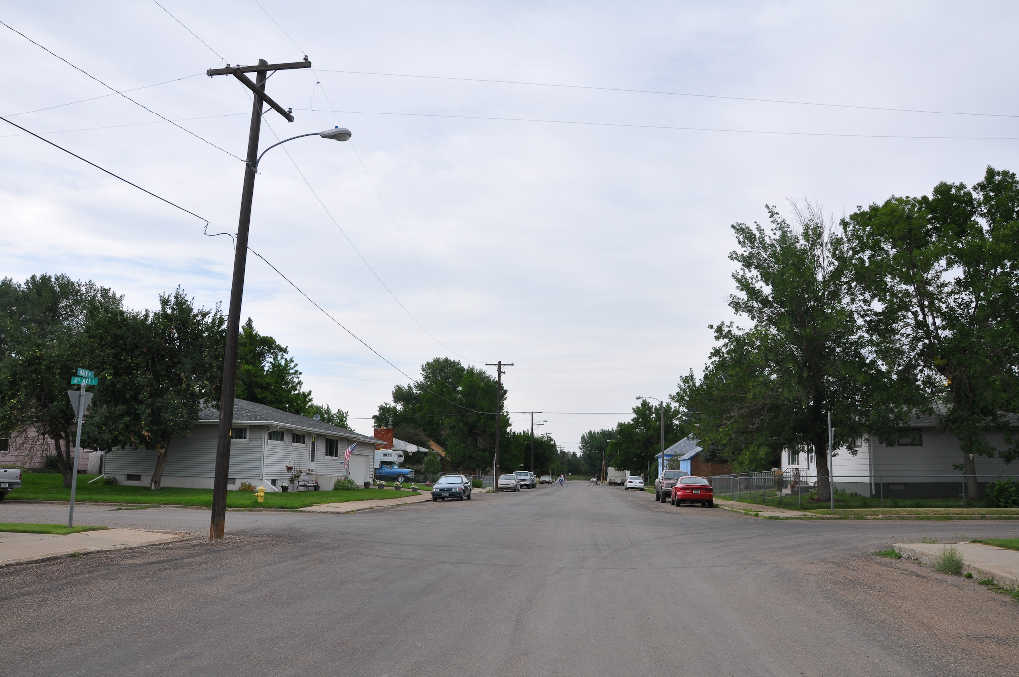
MappingMainStreet_BeltMT-5
MappingMainStreet_BeltMT-3

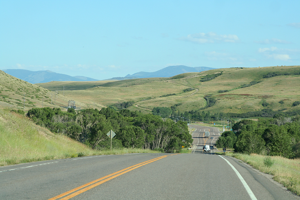
Highway Views

M-LAUSHE

Three Grain Bins
The Ranch
20130609083410.jpg

Highwood Mountain Moonrise
Storm Over South Peak
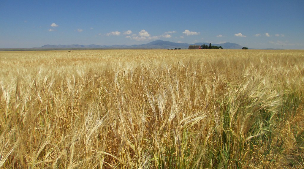
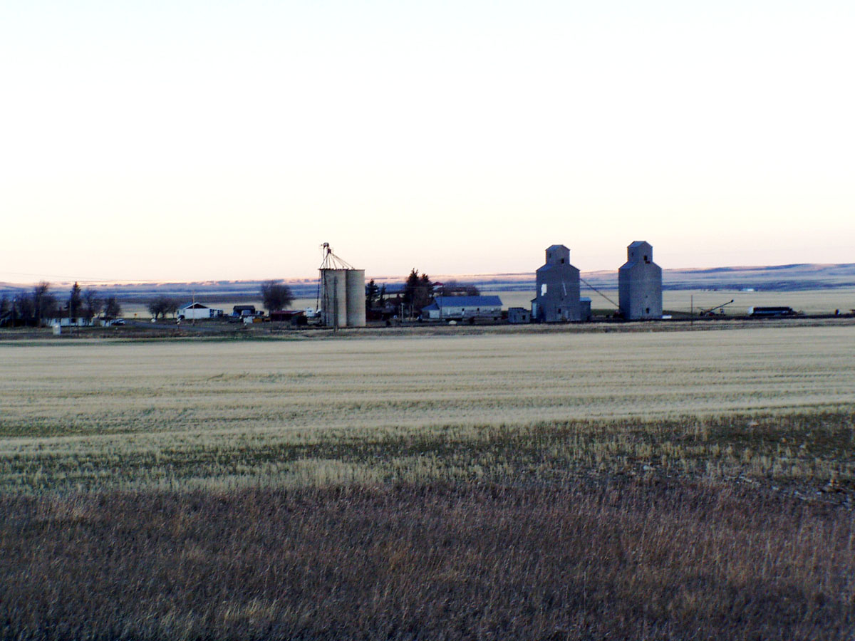
Montana Wheat Field (Cascade County, Montana)
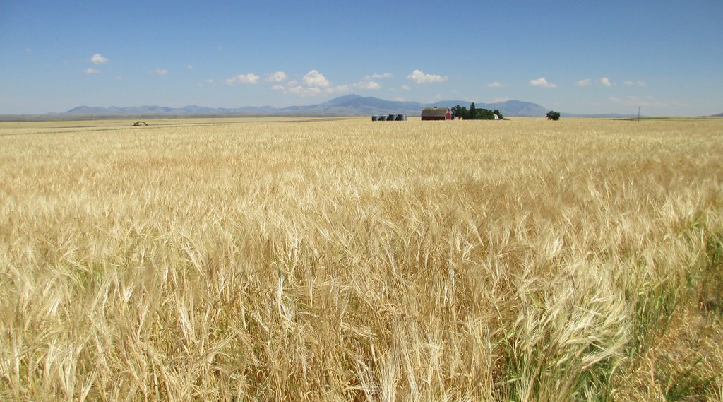
Montana Wheat Field (Cascade County, Montana)
20130609083359.jpg

driving 008
Pleasant Valley - Dairy Parlour - 231
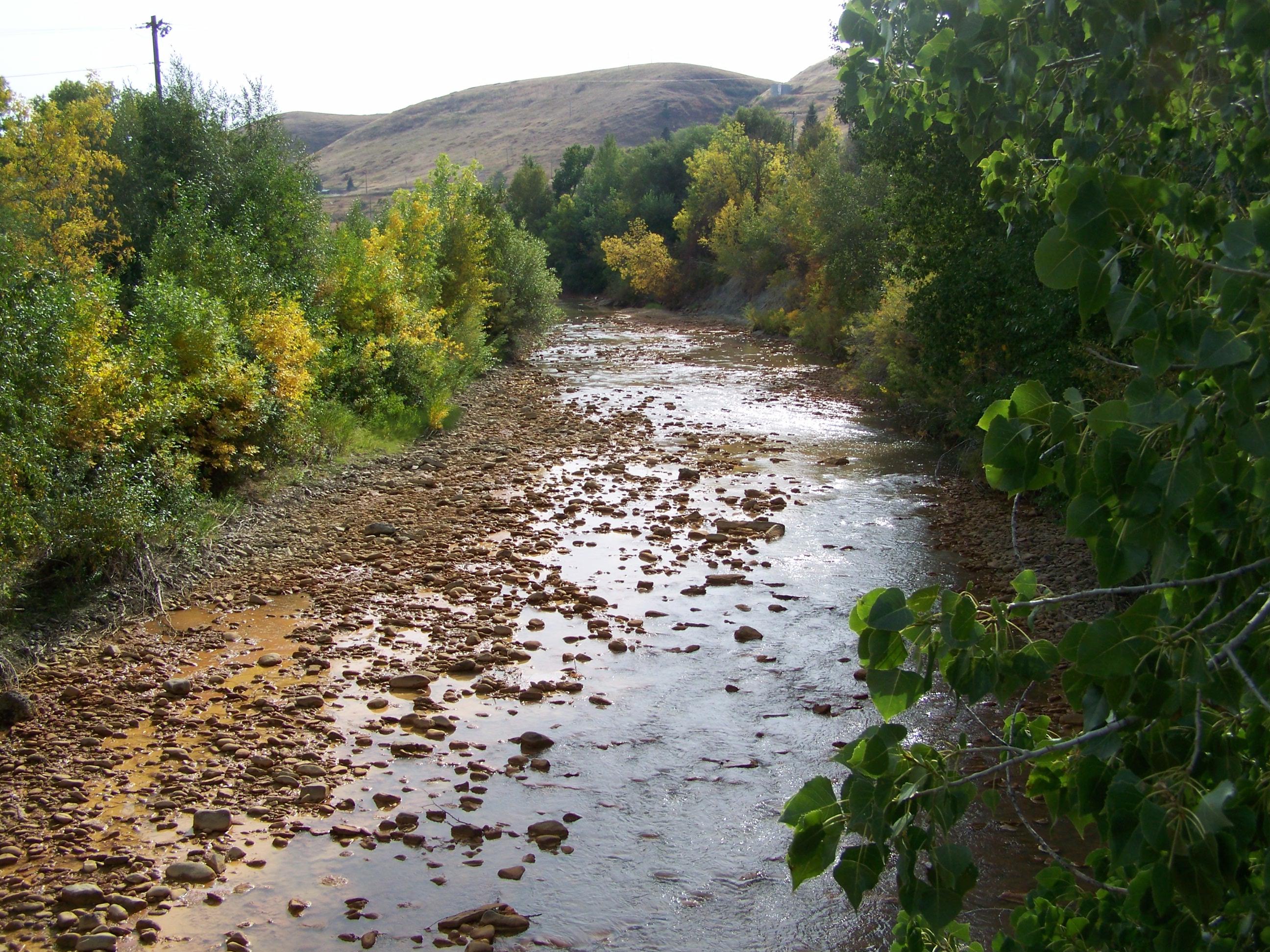
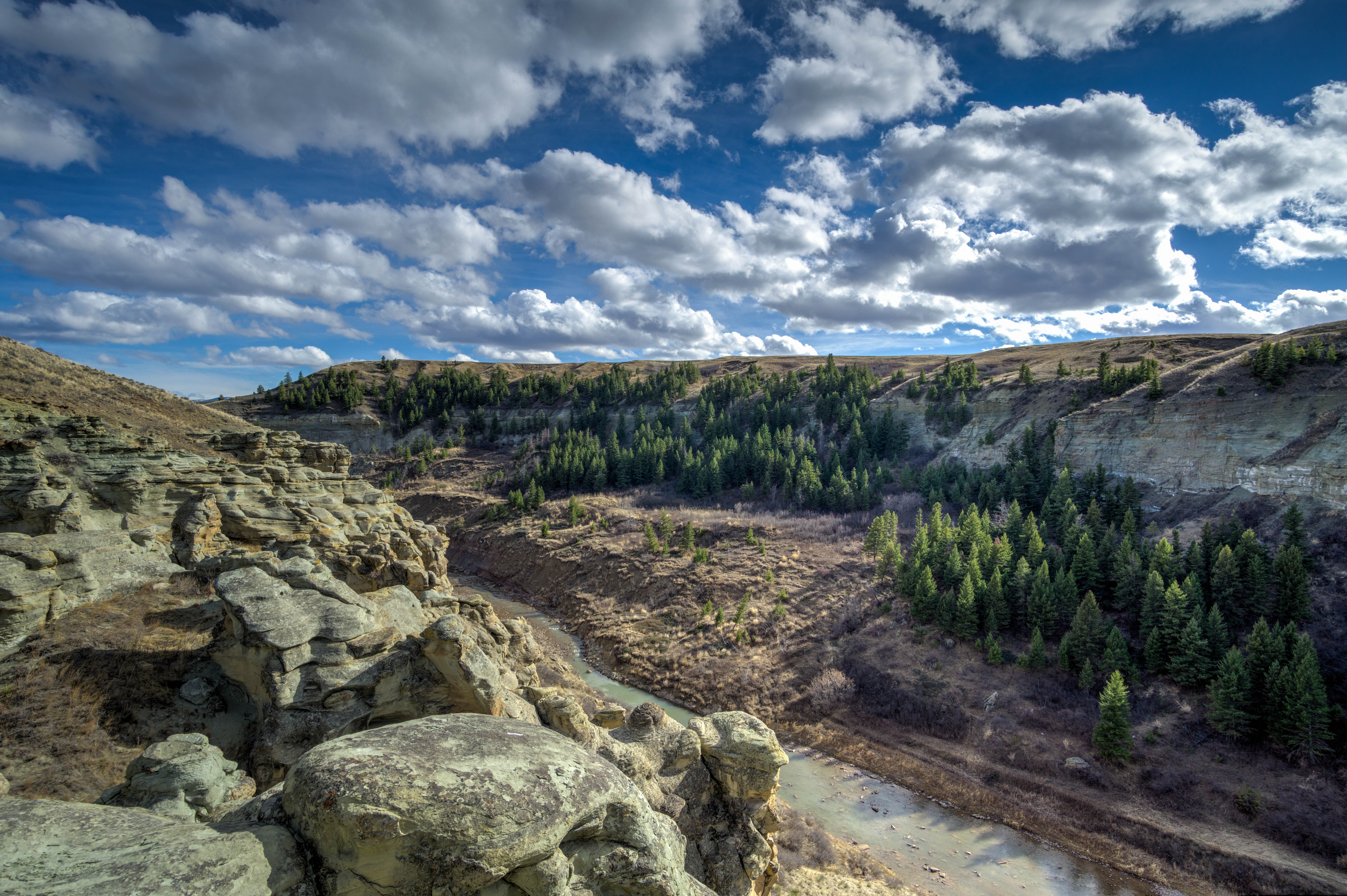
Belt Creek- Belt MT
AEB201307160011.jpg
day5-16
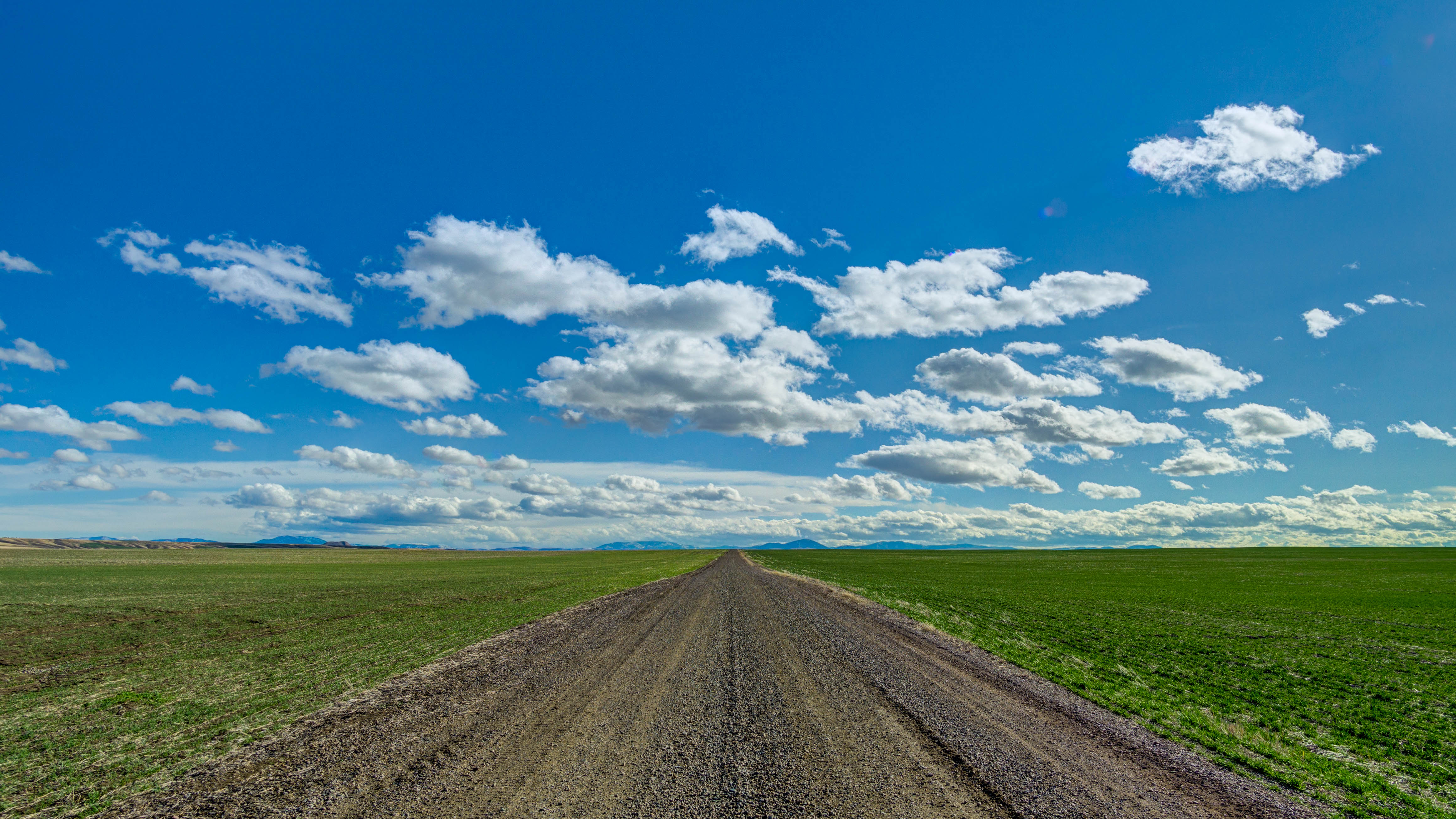
Almost Spring
Belt Creek
Topographic Map of US-89, Belt, MT, USA
Find elevation by address:

Places near US-89, Belt, MT, USA:
Belt
Belt Post Office
44 MT-, Belt, MT, USA
McCoy Rd, Belt, MT, USA
Highwood Rd, Great Falls, MT, USA
31 Evans Riceville Rd, Belt, MT, USA
472 Evans Riceville Rd
474 Evans Riceville Rd
Powerline Rd, Floweree, MT, USA
Floweree
Carter
Carter Bar
Monarch Mountain
Spud Ln, Fort Benton, MT, USA
619 Main St
Neihart
Many Pines Campground
Porphyry Peak
Stanford, MT, USA
Montana 200
Recent Searches:
- Elevation of Fern Rd, Whitmore, CA, USA
- Elevation of 62 Abbey St, Marshfield, MA, USA
- Elevation of Fernwood, Bradenton, FL, USA
- Elevation of Felindre, Swansea SA5 7LU, UK
- Elevation of Leyte Industrial Development Estate, Isabel, Leyte, Philippines
- Elevation of W Granada St, Tampa, FL, USA
- Elevation of Pykes Down, Ivybridge PL21 0BY, UK
- Elevation of Jalan Senandin, Lutong, Miri, Sarawak, Malaysia
- Elevation of Bilohirs'k
- Elevation of 30 Oak Lawn Dr, Barkhamsted, CT, USA