Elevation of Porphyry Peak, Montana, USA
Location: United States > Montana > Cascade County > Neihart >
Longitude: -110.71826
Latitude: 46.8380173
Elevation: 2496m / 8189feet
Barometric Pressure: 75KPa
Elevation Map:
Satellite Map:
Related Photos:

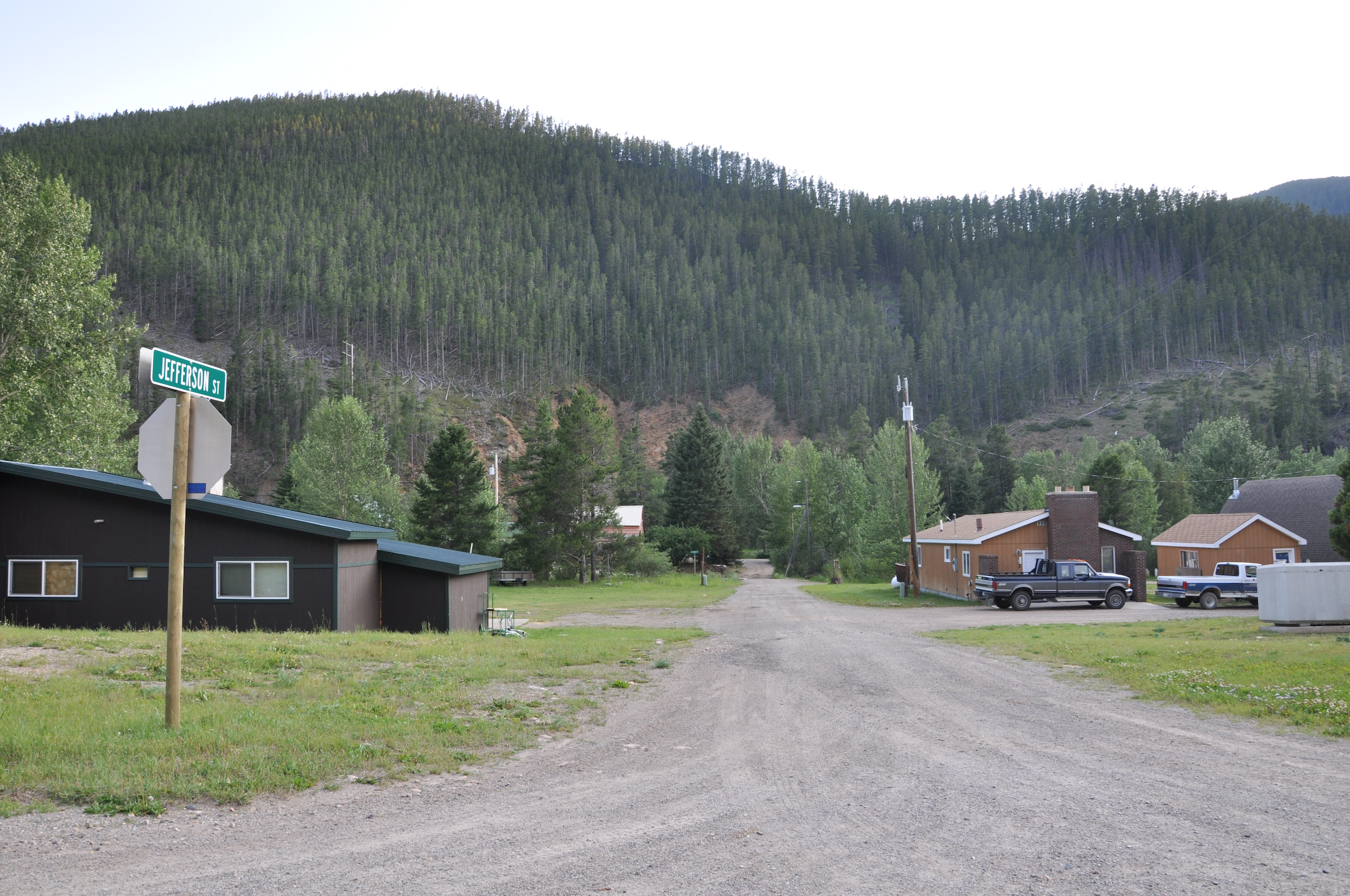
MappingMainStreet_NeihartMT-28

MappingMainStreet_NeihartMT-1

Blue Wave

Thale, Montana

Flower Field View

Jones' Columbine

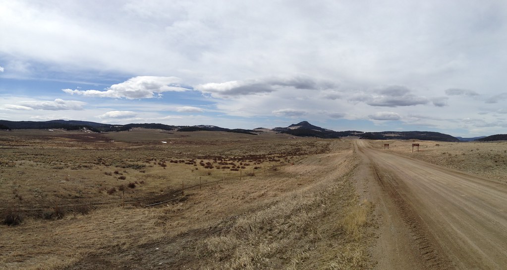
Little Belt Mountains

Riding Off into the Sunrise
MappingMainStreet_NeihartMT-29

Shields River Valley, Livington to Great Falls (19)

Shields River Valley, Livington to Great Falls (20)

Cowboy at Black Butte

Eriophorum chamissonis

Green Gentian Sunrise

Wolsey, Montana

Two Pinks

Blue Larkspur

Memorial Falls
Black Butte

Cloud Cover

Little Belt Mountains

Little Belt Mountains

Little Belt Mountains

Little Belt Mountains

2016 Sep 29_3765_HDR

Little Belt Mountains
Topographic Map of Porphyry Peak, Montana, USA
Find elevation by address:

Places near Porphyry Peak, Montana, USA:
Many Pines Campground
Neihart
619 Main St
Monarch Mountain
Meagher County
4260 Us-12
White Sulphur Springs
110 S Central Ave
Montana
Stanford, MT, USA
474 Evans Riceville Rd
472 Evans Riceville Rd
31 Evans Riceville Rd, Belt, MT, USA
Judith Basin County
44 MT-, Belt, MT, USA
Montana 200
Montana 200
Belt Post Office
Belt
Stanford
Recent Searches:
- Elevation of Royal Ontario Museum, Queens Park, Toronto, ON M5S 2C6, Canada
- Elevation of Groblershoop, South Africa
- Elevation of Power Generation Enterprises | Industrial Diesel Generators, Oak Ave, Canyon Country, CA, USA
- Elevation of Chesaw Rd, Oroville, WA, USA
- Elevation of N, Mt Pleasant, UT, USA
- Elevation of 6 Rue Jules Ferry, Beausoleil, France
- Elevation of Sattva Horizon, 4JC6+G9P, Vinayak Nagar, Kattigenahalli, Bengaluru, Karnataka, India
- Elevation of Great Brook Sports, Gold Star Hwy, Groton, CT, USA
- Elevation of 10 Mountain Laurels Dr, Nashua, NH, USA
- Elevation of 16 Gilboa Ln, Nashua, NH, USA