Elevation of Matanzas Rd, Centertown, KY, USA
Location: United States > Kentucky > Ohio County > Centertown >
Longitude: -87.059105
Latitude: 37.4500329
Elevation: 125m / 410feet
Barometric Pressure: 100KPa
Elevation Map:
Satellite Map:
Related Photos:

The days Last gleaming

to the winds we give our prayers

TBR land
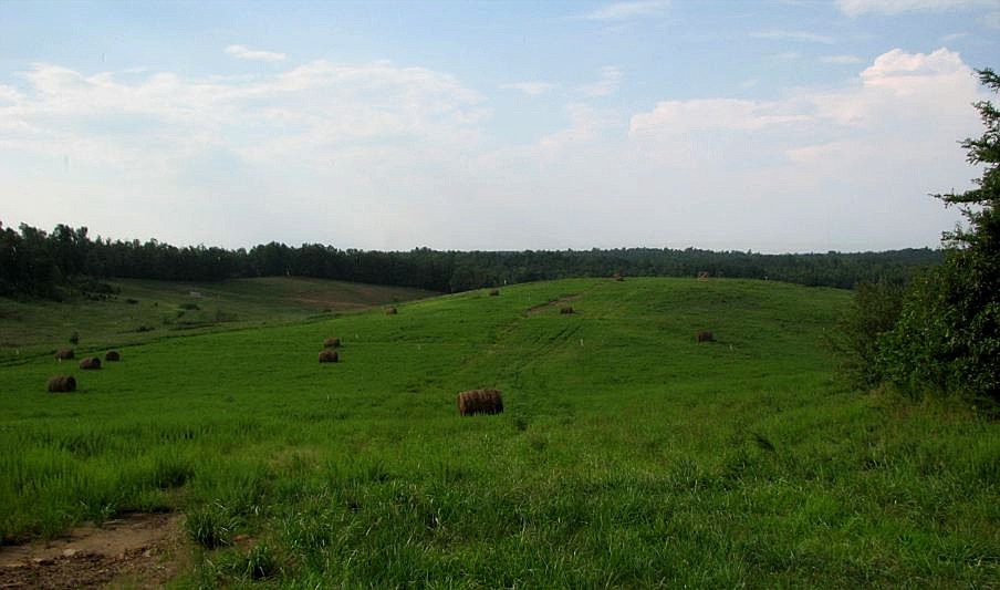
TBR land

New goats feeding

heysátan

looking up.

P&L Train LG2
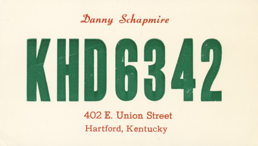
Danny Schapmire - Hartford, Kentucky

Abandoned RR Tracks

Green River - B&W

Besökare Samtidigt

West Point Church

Livermore Bridge
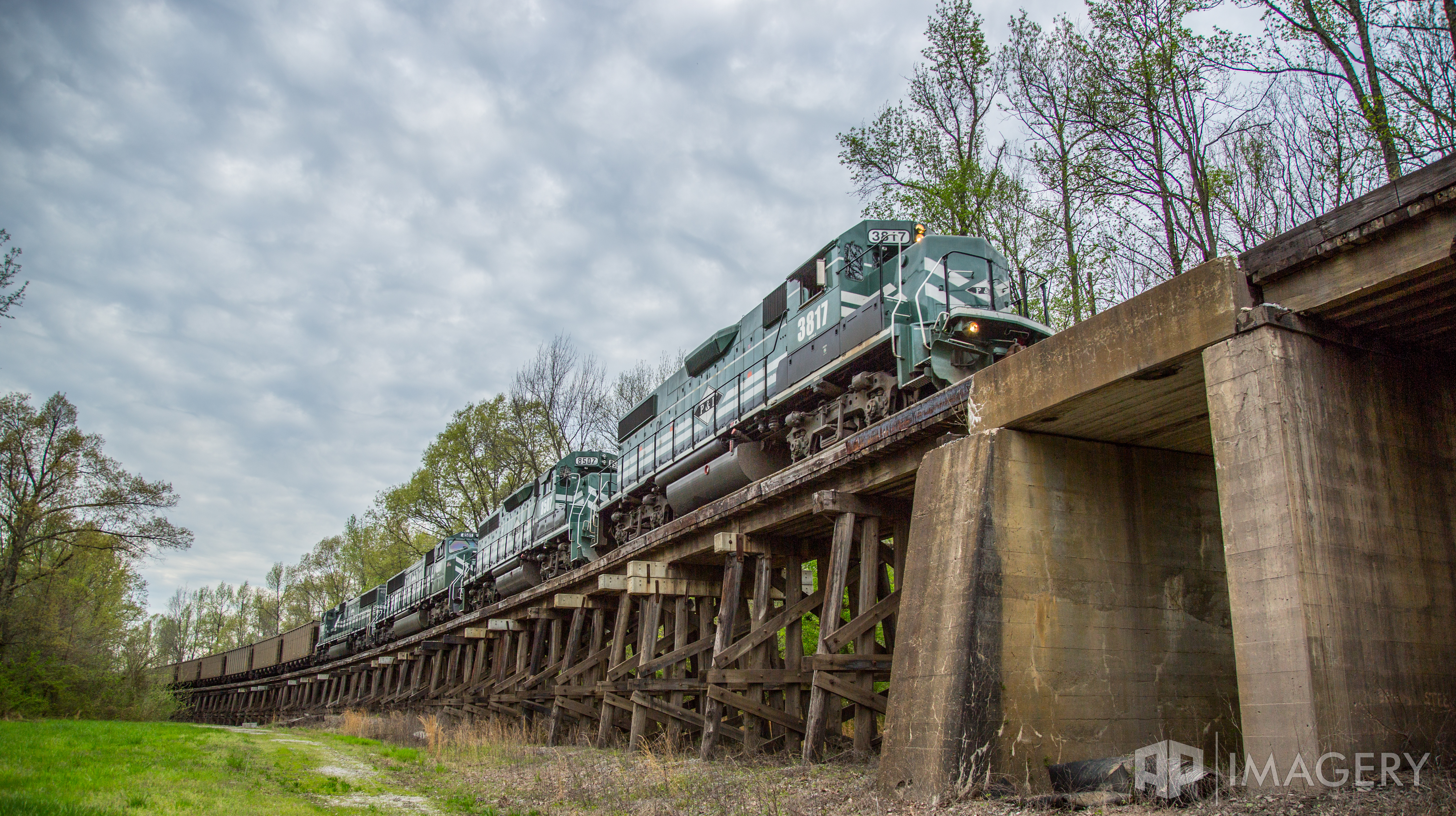
P&L Train

P&L Railroad

P&L Railroad
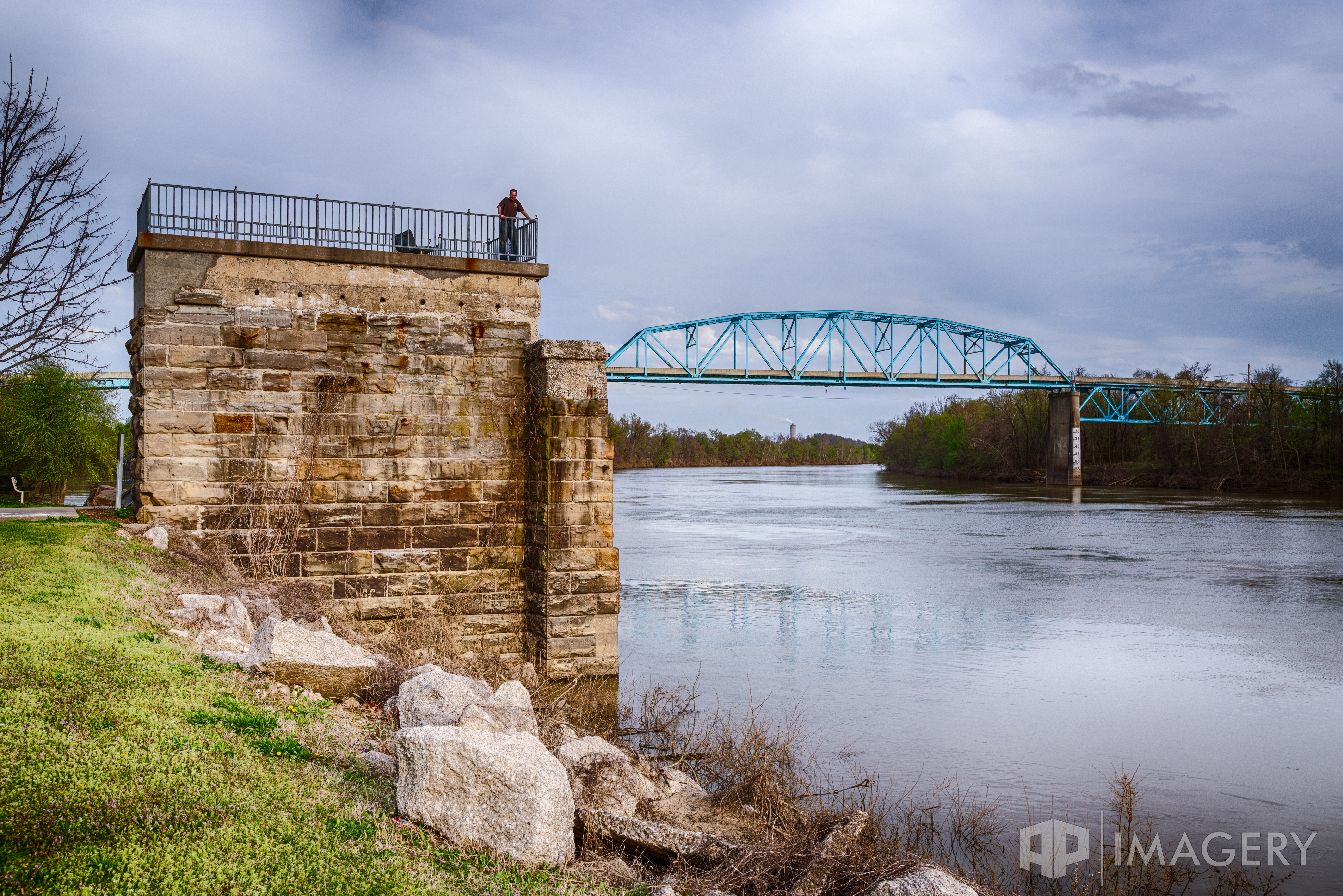
Livermore Bridge
All Photos-66
All Photos-65
All Photos-64

All Photos-63
All Photos-62
All Photos-61

All Photos-60

All Photos-59

All Photos-58
Topographic Map of Matanzas Rd, Centertown, KY, USA
Find elevation by address:

Places near Matanzas Rd, Centertown, KY, USA:
KY-69, Centertown, KY, USA
Centertown
E 7th St, Livermore, KY, USA
Livermore
Island
US-, Livermore, KY, USA
US-, Central City, KY, USA
KY-85, Island, KY, USA
Red Hill-Maxwell Rd, Utica, KY, USA
KY-, Central City, KY, USA
Rockport
Main St, Rockport, KY, USA
278 A G Daniel Rd
US-, Central City, KY, USA
189 Old Bethel-buck Gish Rd
11133 Fields Rd S
11450 Us-431
Hartford
KY-, Calhoun, KY, USA
US-62, McHenry, KY, USA
Recent Searches:
- Elevation of 72-31 Metropolitan Ave, Middle Village, NY, USA
- Elevation of 76 Metropolitan Ave, Brooklyn, NY, USA
- Elevation of Alisal Rd, Solvang, CA, USA
- Elevation of Vista Blvd, Sparks, NV, USA
- Elevation of 15th Ave SE, St. Petersburg, FL, USA
- Elevation of Beall Road, Beall Rd, Florida, USA
- Elevation of Leguwa, Nepal
- Elevation of County Rd, Enterprise, AL, USA
- Elevation of Kolchuginsky District, Vladimir Oblast, Russia
- Elevation of Shustino, Vladimir Oblast, Russia