Elevation of KY-85, Island, KY, USA
Location: United States > Kentucky > Mclean County >
Longitude: -87.170386
Latitude: 37.4477747
Elevation: 124m / 407feet
Barometric Pressure: 100KPa
Elevation Map:
Satellite Map:
Related Photos:

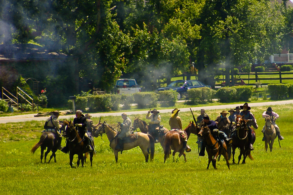
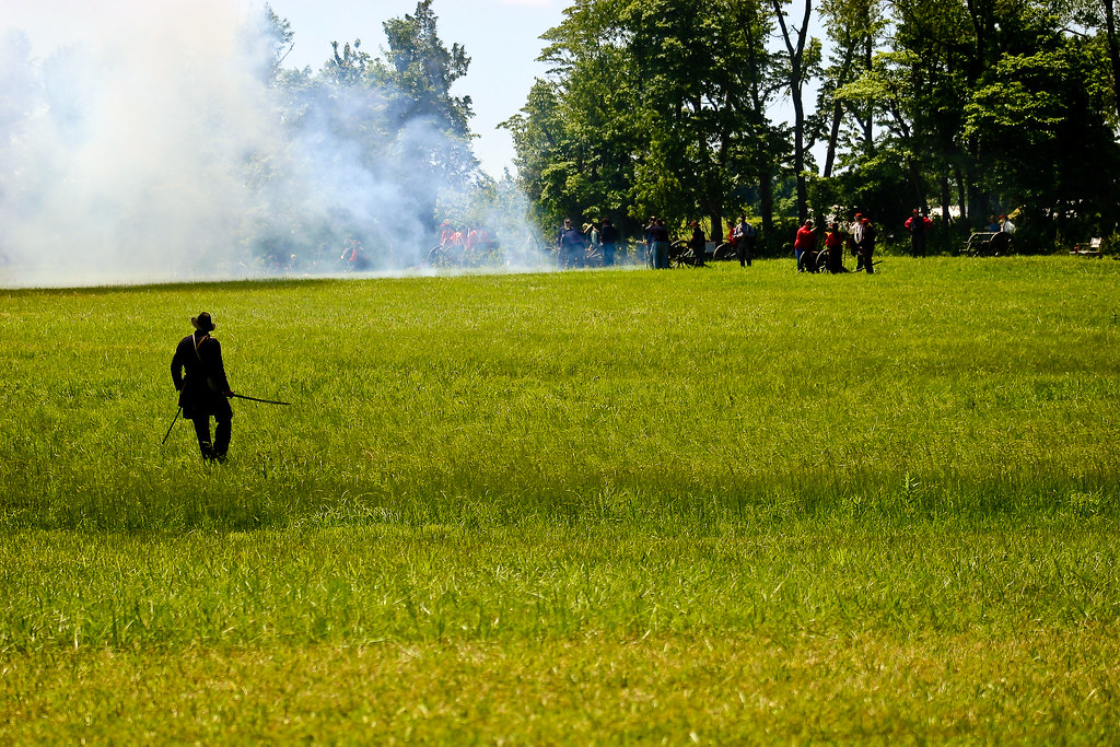
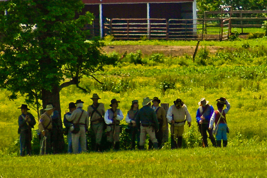
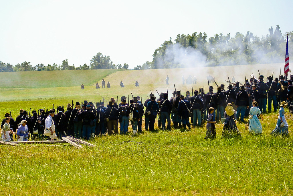
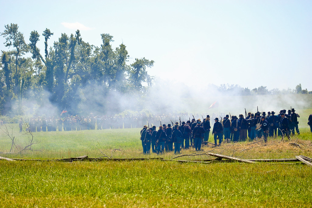
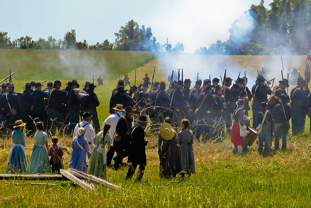
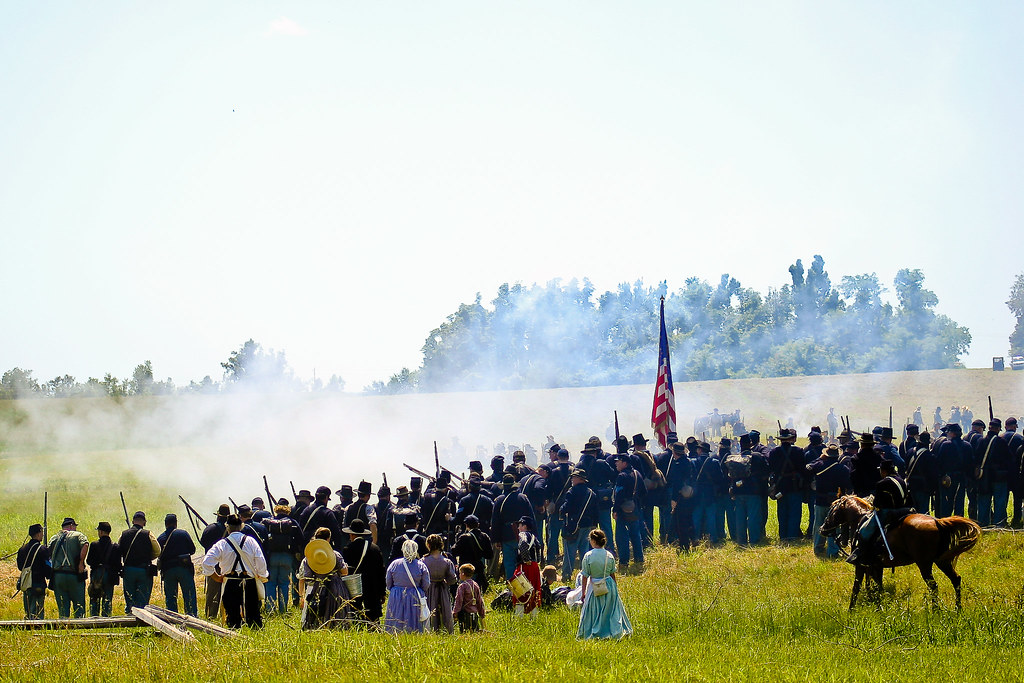
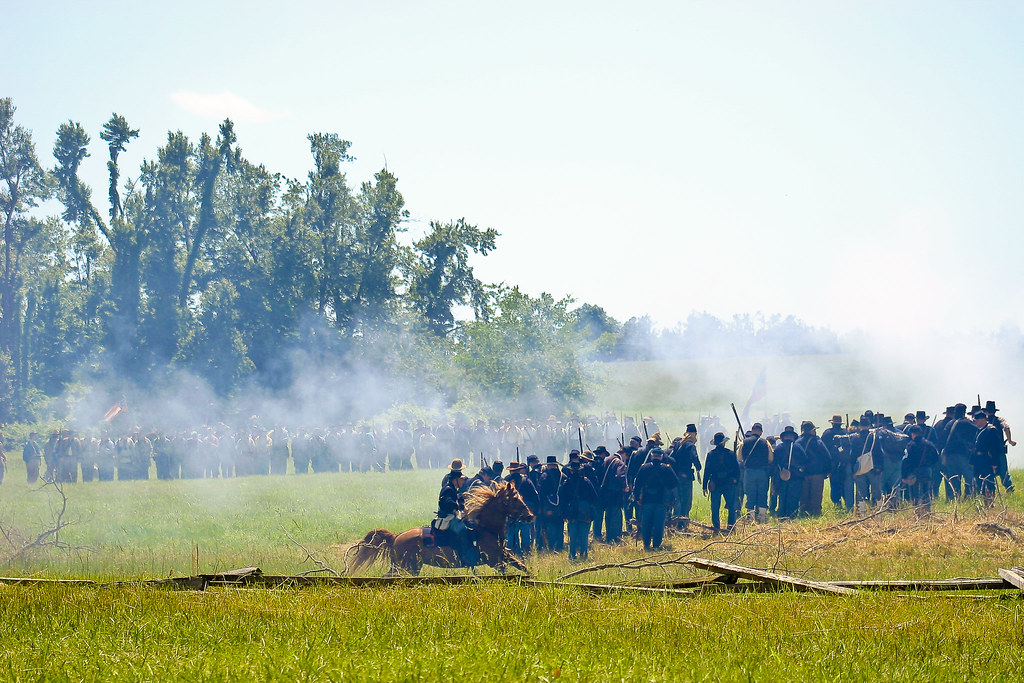
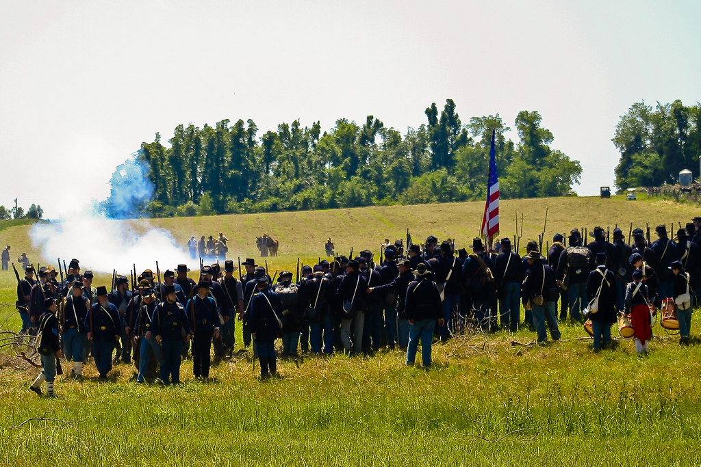
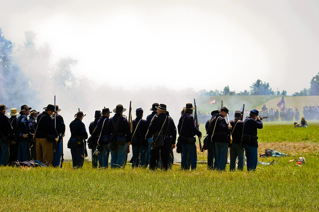
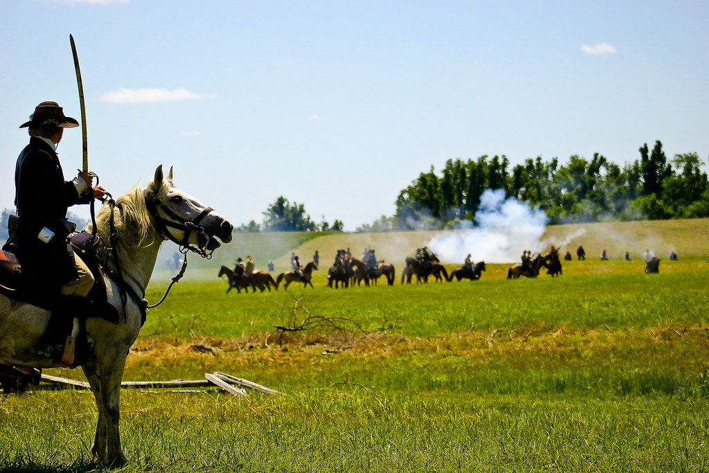
Battle of Sacramento, KY: May 16, 17, 18, 2008

Battle of Sacramento, KY: May 16, 17, 18, 2008
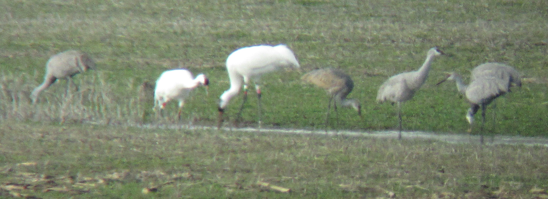
Sandhill Cranes & Whooping Cranes

Calhoun River

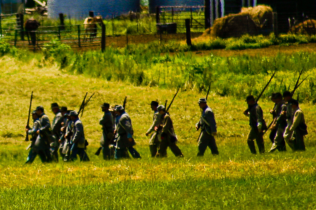
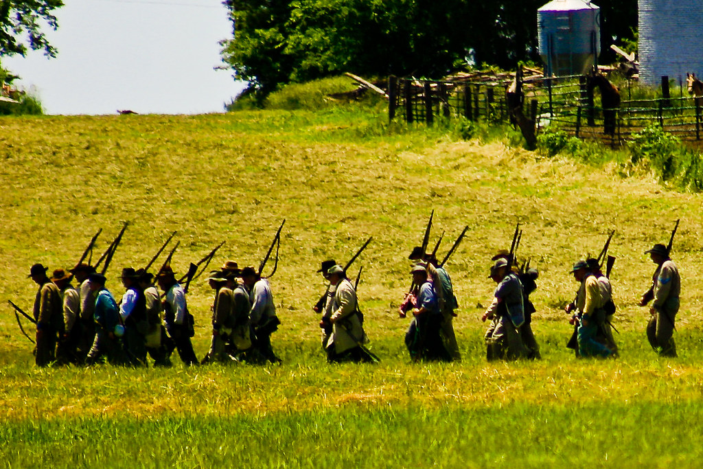
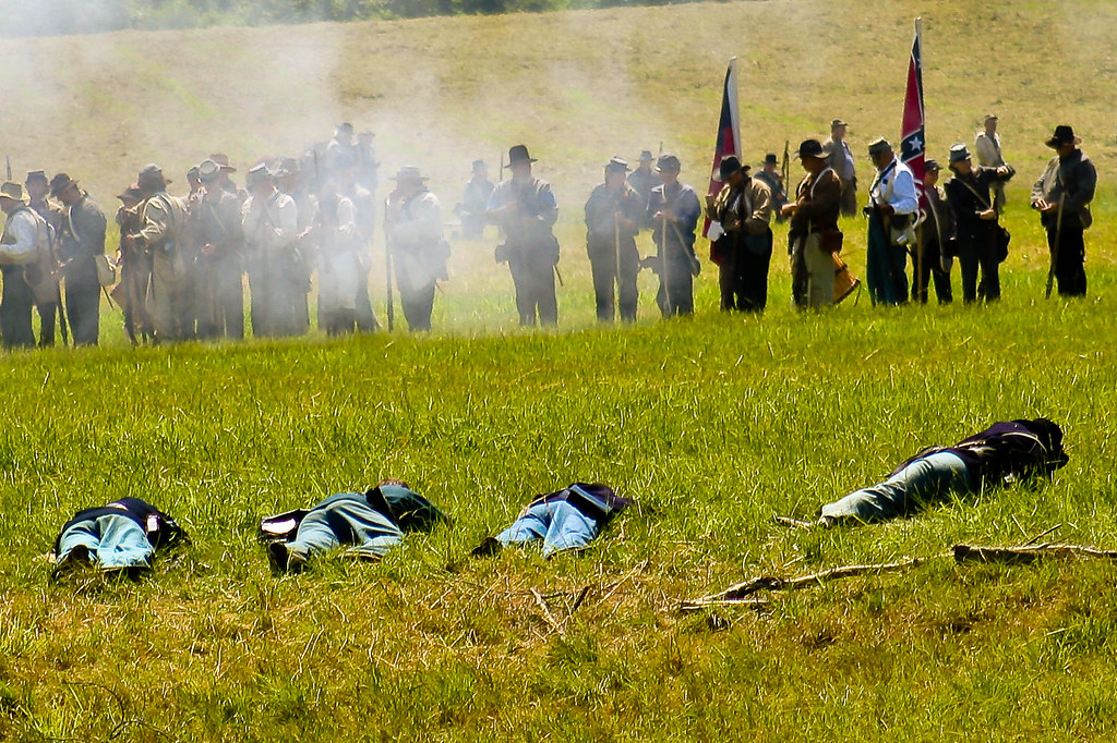
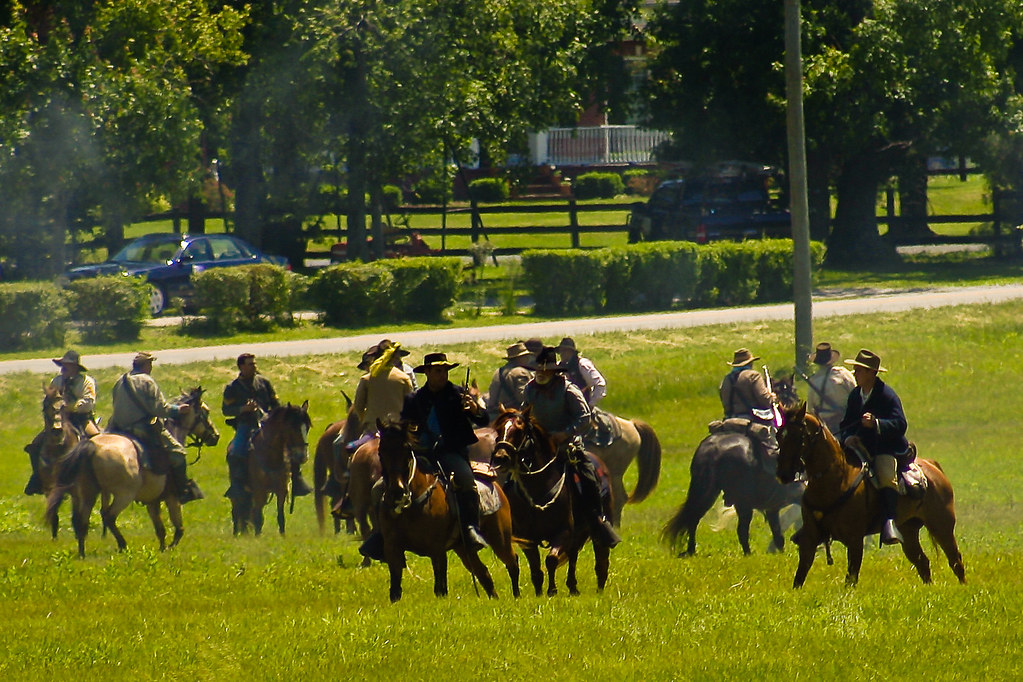
Battle of Sacramento, KY: May 16, 17, 18, 2008
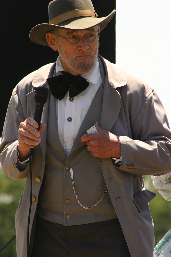
Battle of Sacramento, KY: May 16, 17, 18, 2008
IMG_0125-125
IMG_0161-161
IMG_0031-31

The days Last gleaming
IMG_0029-29
IMG_0028-28

IMG_0177-177
IMG_0114-114

IMG_0145-145
IMG_0134-134

IMG_0085-85
IMG_0211-211

IMG_0149-149
IMG_0099-99
IMG_0126-126
IMG_0179-179

IMG_0030-30
IMG_0133-133
IMG_0111-111
IMG_0236-236
IMG_0067-67
Topographic Map of KY-85, Island, KY, USA
Find elevation by address:

Places near KY-85, Island, KY, USA:
Island
US-, Central City, KY, USA
E 7th St, Livermore, KY, USA
Livermore
US-, Livermore, KY, USA
KY-, Calhoun, KY, USA
Matanzas Rd, Centertown, KY, USA
189 Old Bethel-buck Gish Rd
US-, Central City, KY, USA
KY-69, Centertown, KY, USA
11450 Us-431
S 2nd St, Central City, KY, USA
Central City
Utica
429 Ky-1207
KY-, Central City, KY, USA
Red Hill-Maxwell Rd, Utica, KY, USA
Centertown
Everly Brothers Blvd, Powderly, KY, USA
11133 Fields Rd S
Recent Searches:
- Elevation of Rojo Ct, Atascadero, CA, USA
- Elevation of Flagstaff Drive, Flagstaff Dr, North Carolina, USA
- Elevation of Avery Ln, Lakeland, FL, USA
- Elevation of Woolwine, VA, USA
- Elevation of Lumagwas Diversified Farmers Multi-Purpose Cooperative, Lumagwas, Adtuyon, RV32+MH7, Pangantucan, Bukidnon, Philippines
- Elevation of Homestead Ridge, New Braunfels, TX, USA
- Elevation of Orchard Road, Orchard Rd, Marlborough, NY, USA
- Elevation of 12 Hutchinson Woods Dr, Fletcher, NC, USA
- Elevation of Holloway Ave, San Francisco, CA, USA
- Elevation of Norfolk, NY, USA