Elevation of US-, Central City, KY, USA
Location: United States > Kentucky > Muhlenberg County > Central City >
Longitude: -87.149285
Latitude: 37.4066649
Elevation: 136m / 446feet
Barometric Pressure: 100KPa
Elevation Map:
Satellite Map:
Related Photos:

Proud of the Past... Central City, Kentucky
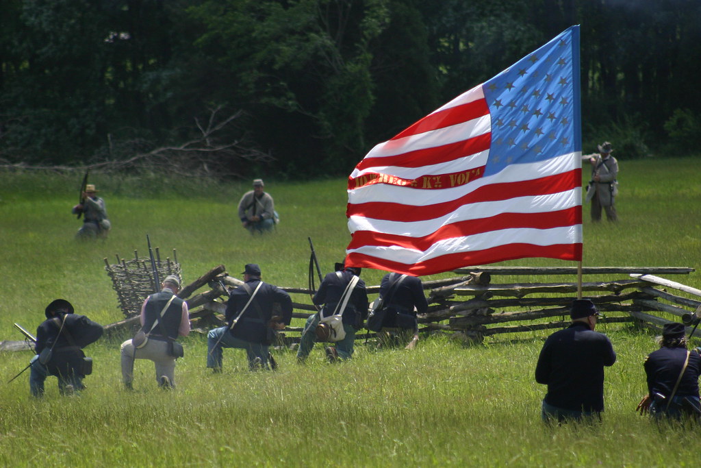
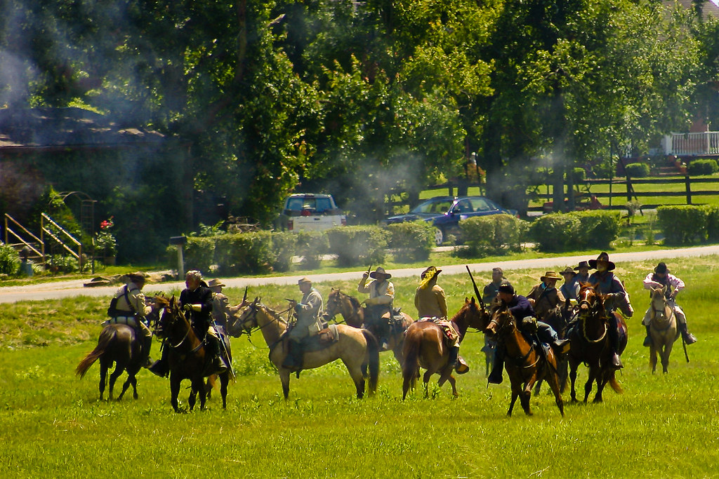
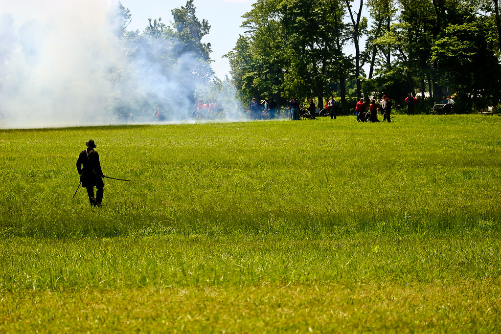
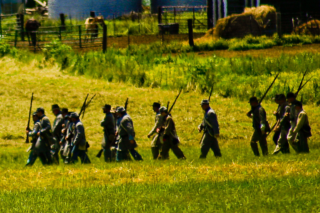
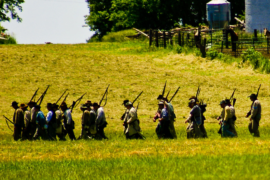
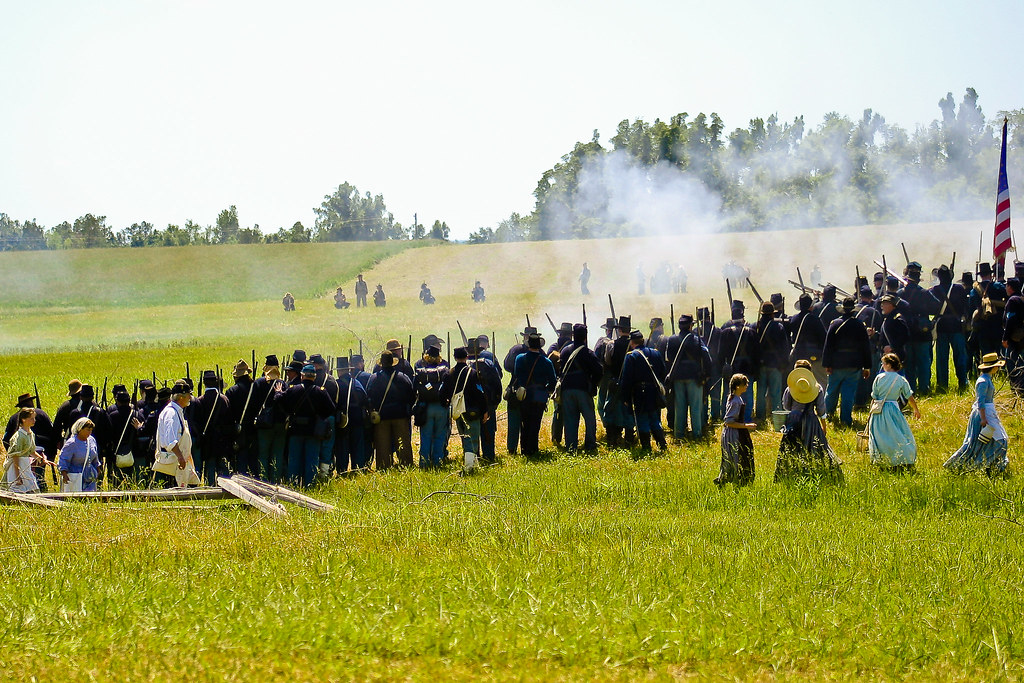
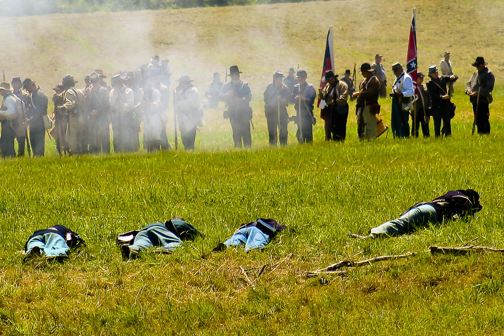
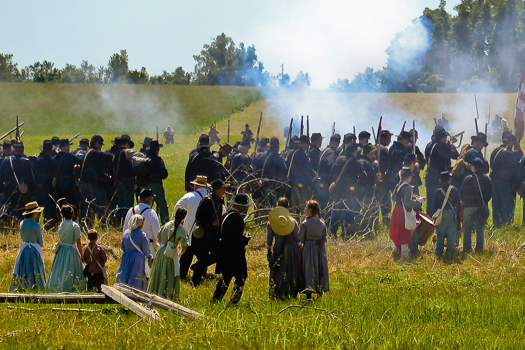
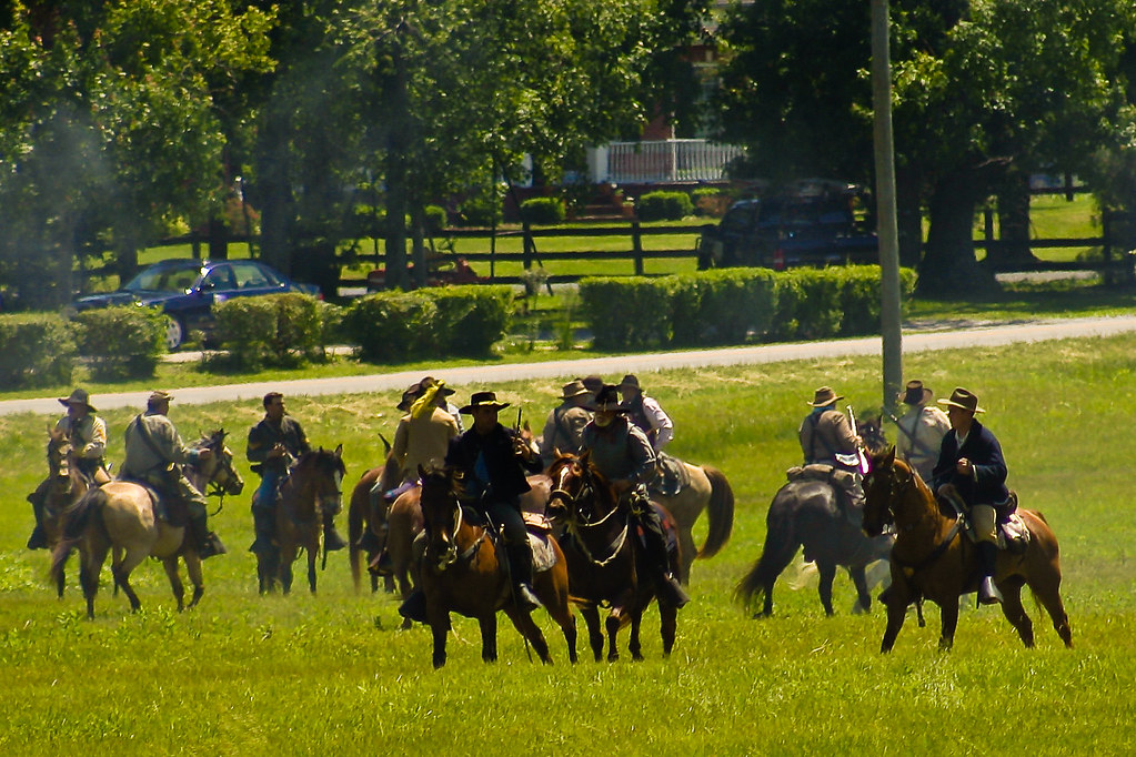
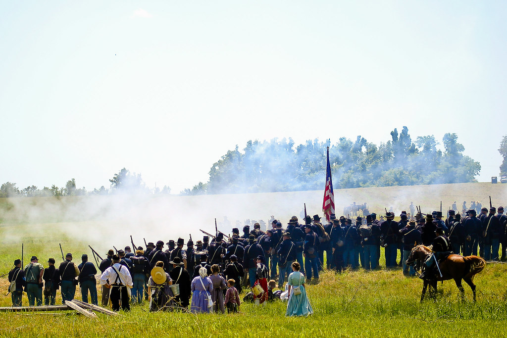
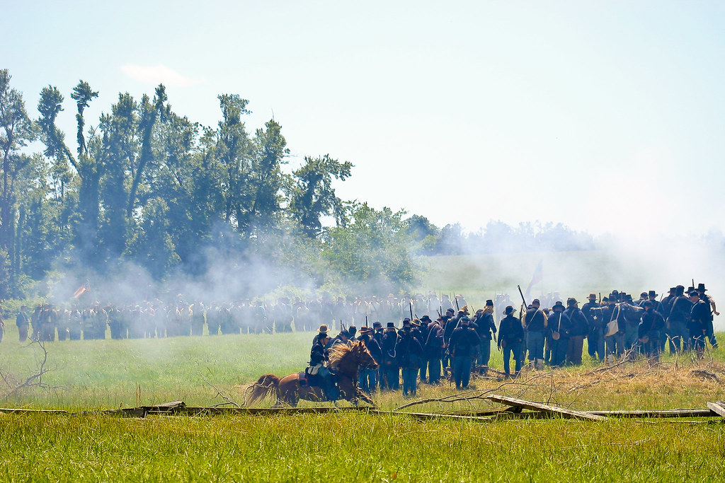
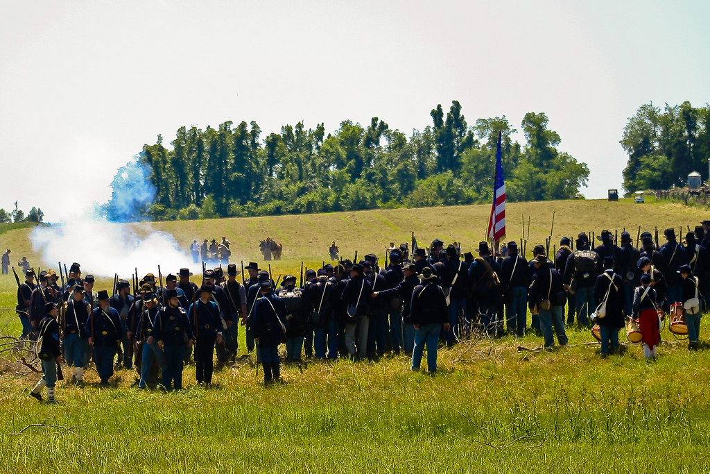
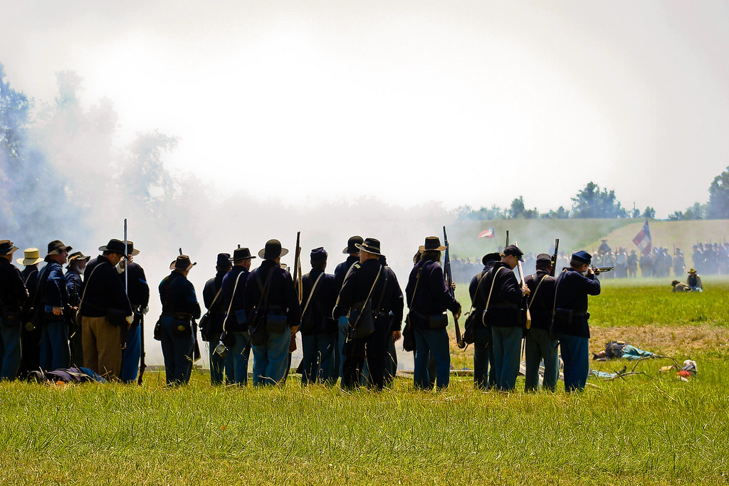
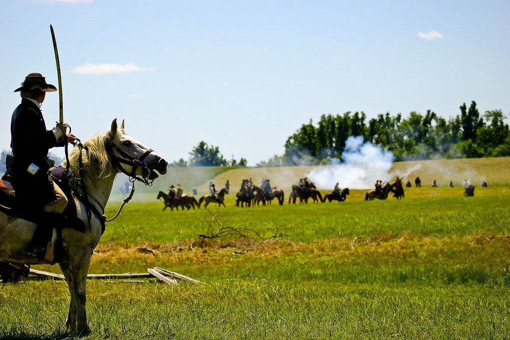
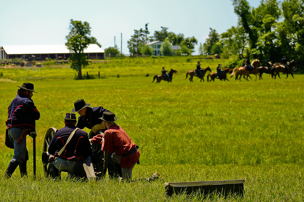
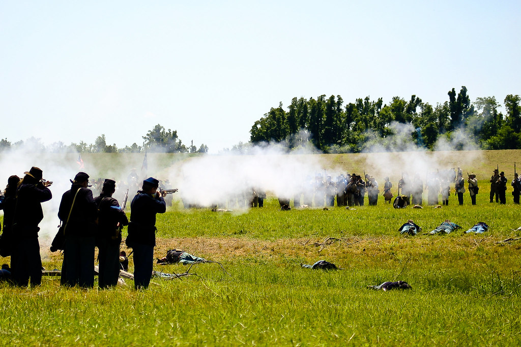
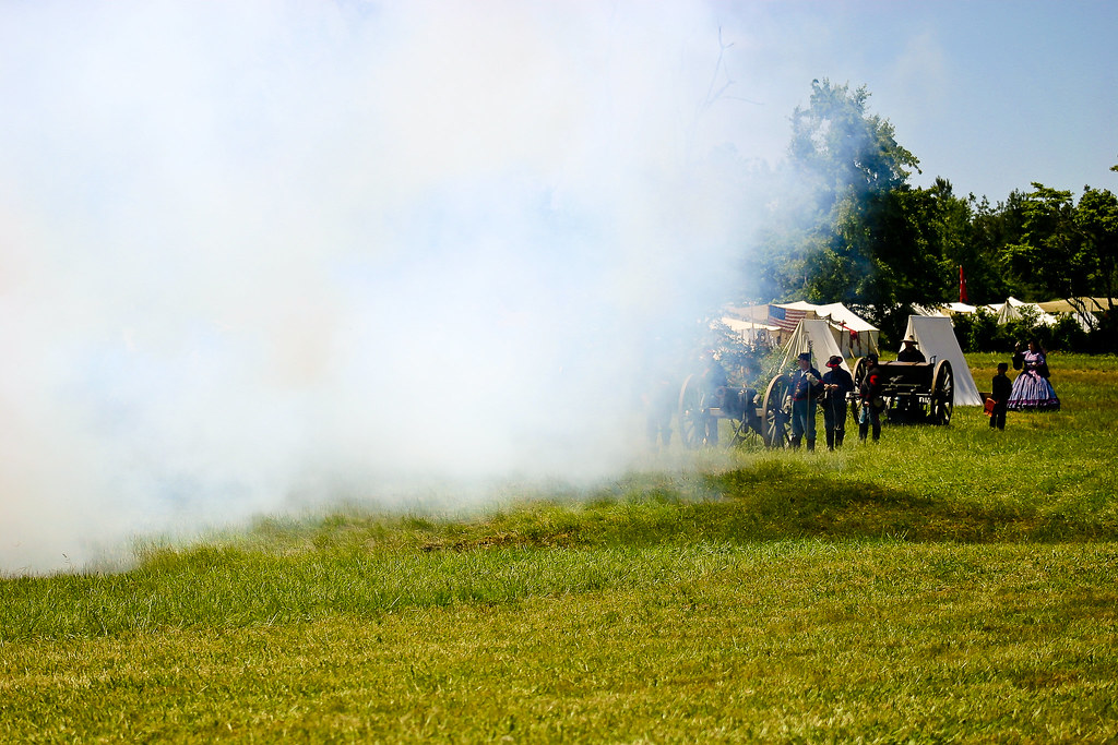
Battle of Sacramento, KY: May 16, 17, 18, 2008

Battle of Sacramento, KY: May 16, 17, 18, 2008
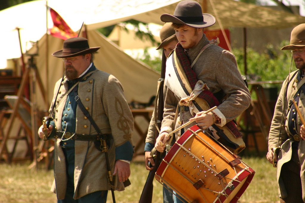
Battle of Sacramento, KY: May 16, 17, 18, 2008
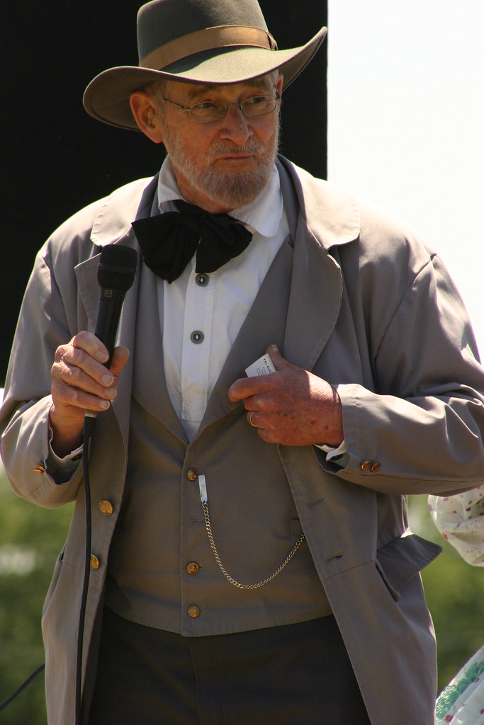
Battle of Sacramento, KY: May 16, 17, 18, 2008
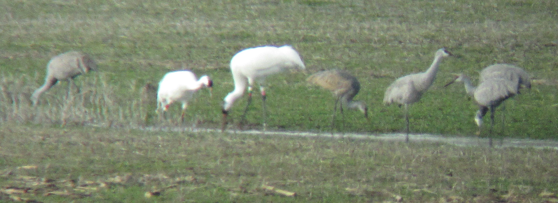
Sandhill Cranes & Whooping Cranes
IMG_0125-125
IMG_0161-161

The days Last gleaming
IMG_0029-29
IMG_0028-28

IMG_0177-177
IMG_0114-114

IMG_0145-145
IMG_0211-211

IMG_0149-149
IMG_0099-99
IMG_0126-126
IMG_0179-179

IMG_0030-30
IMG_0133-133
IMG_0111-111
IMG_0236-236
IMG_0067-67
IMG_0068-68
IMG_0247-2
IMG_0102-102
Topographic Map of US-, Central City, KY, USA
Find elevation by address:

Places near US-, Central City, KY, USA:
Island
KY-85, Island, KY, USA
US-, Central City, KY, USA
189 Old Bethel-buck Gish Rd
KY-69, Centertown, KY, USA
E 7th St, Livermore, KY, USA
Livermore
Matanzas Rd, Centertown, KY, USA
S 2nd St, Central City, KY, USA
Central City
US-, Livermore, KY, USA
KY-, Central City, KY, USA
KY-, Calhoun, KY, USA
Everly Brothers Blvd, Powderly, KY, USA
Centertown
331 Kameron St
129 Pendley St
Rockport
Main St, Rockport, KY, USA
W Main St, Powderly, KY, USA
Recent Searches:
- Elevation of Groblershoop, South Africa
- Elevation of Power Generation Enterprises | Industrial Diesel Generators, Oak Ave, Canyon Country, CA, USA
- Elevation of Chesaw Rd, Oroville, WA, USA
- Elevation of N, Mt Pleasant, UT, USA
- Elevation of 6 Rue Jules Ferry, Beausoleil, France
- Elevation of Sattva Horizon, 4JC6+G9P, Vinayak Nagar, Kattigenahalli, Bengaluru, Karnataka, India
- Elevation of Great Brook Sports, Gold Star Hwy, Groton, CT, USA
- Elevation of 10 Mountain Laurels Dr, Nashua, NH, USA
- Elevation of 16 Gilboa Ln, Nashua, NH, USA
- Elevation of Laurel Rd, Townsend, TN, USA