Elevation of Old Bethel-Buck Gish Rd, Central City, KY, USA
Location: United States > Kentucky > Muhlenberg County > Central City >
Longitude: -87.143945
Latitude: 37.336629
Elevation: 151m / 495feet
Barometric Pressure: 100KPa
Elevation Map:
Satellite Map:
Related Photos:

room with no view

Gourmet Express - Greenville, Kentucky (February 2013 aerial assignment)

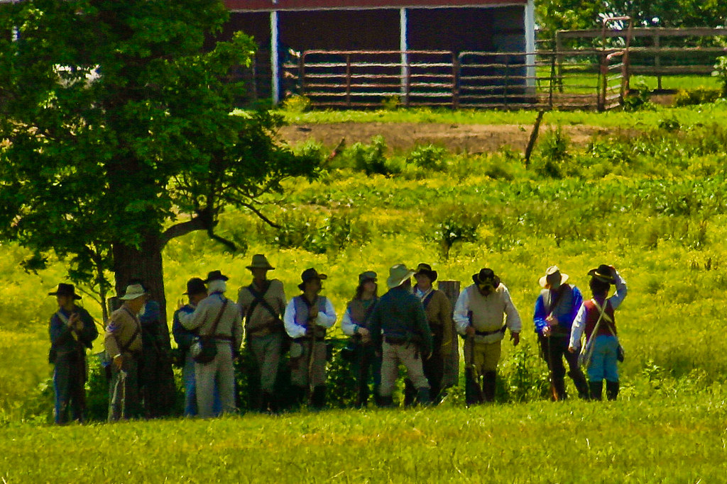
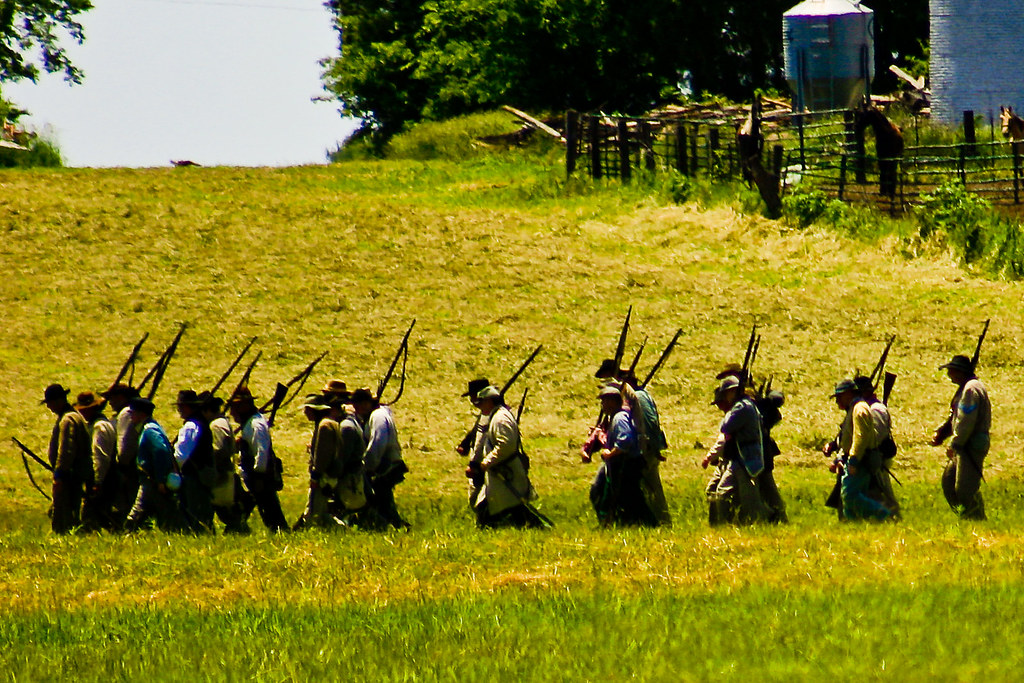
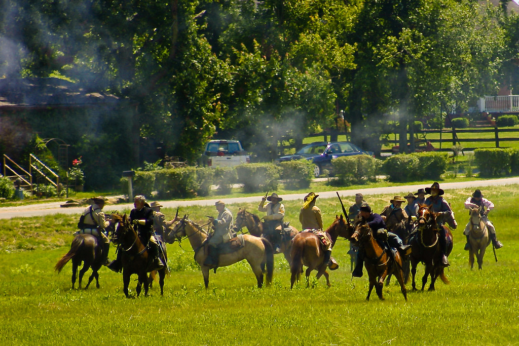
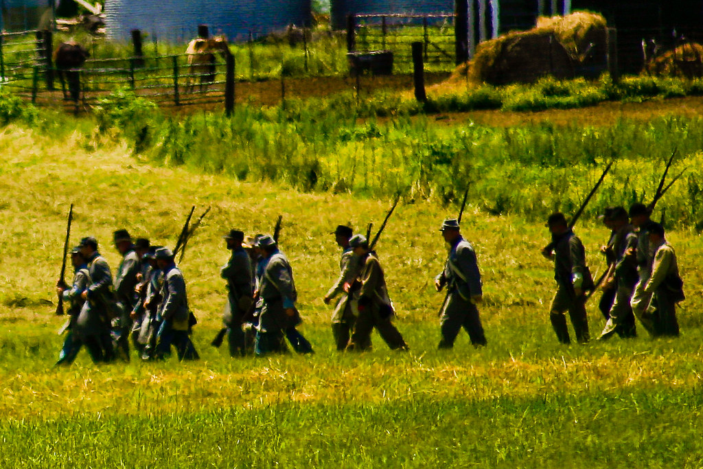
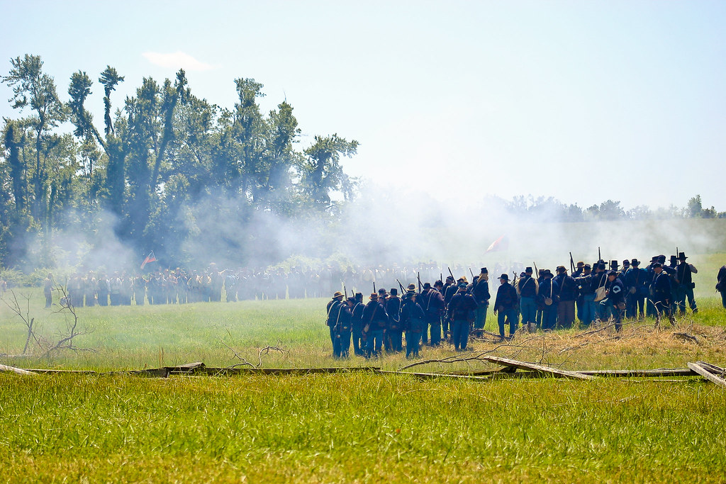
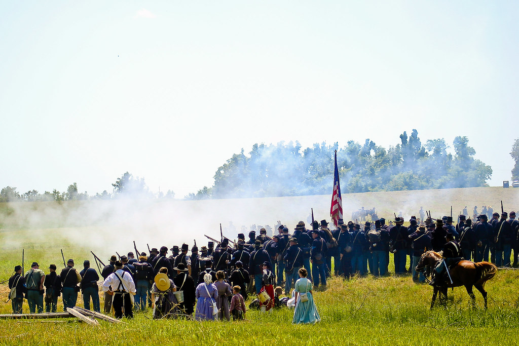
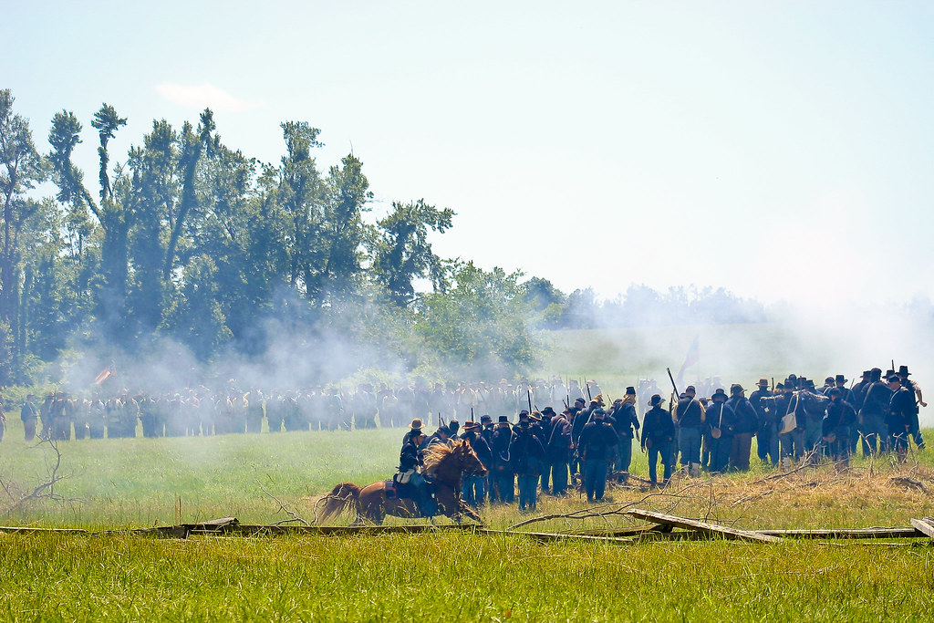
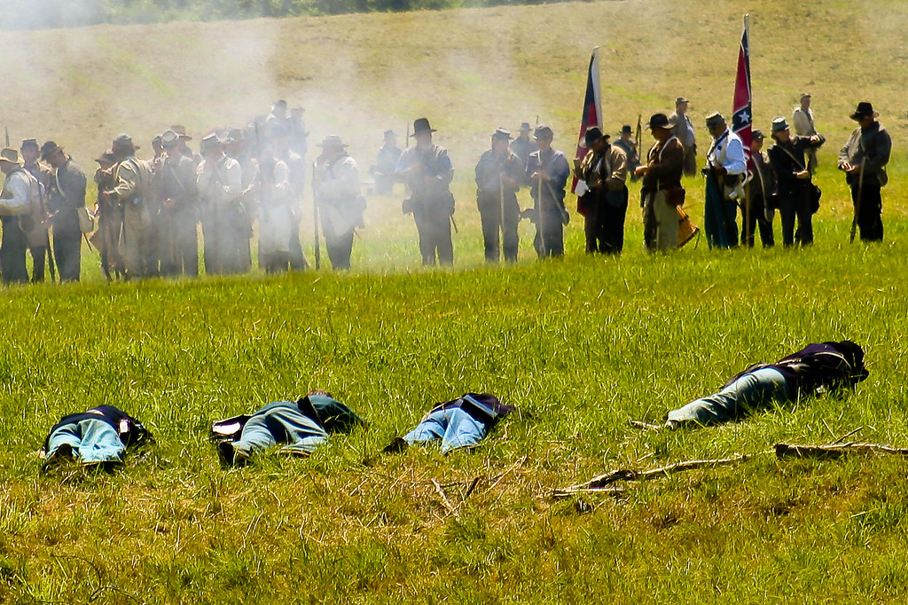
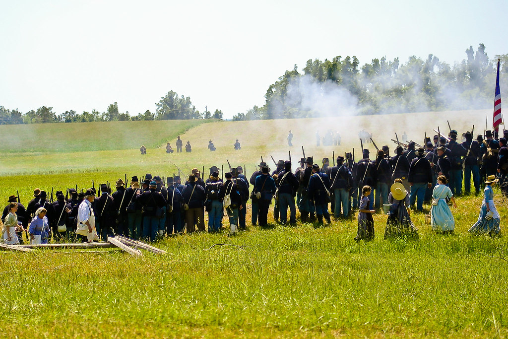
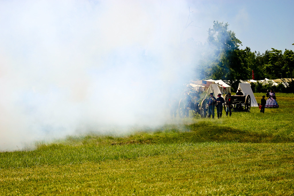
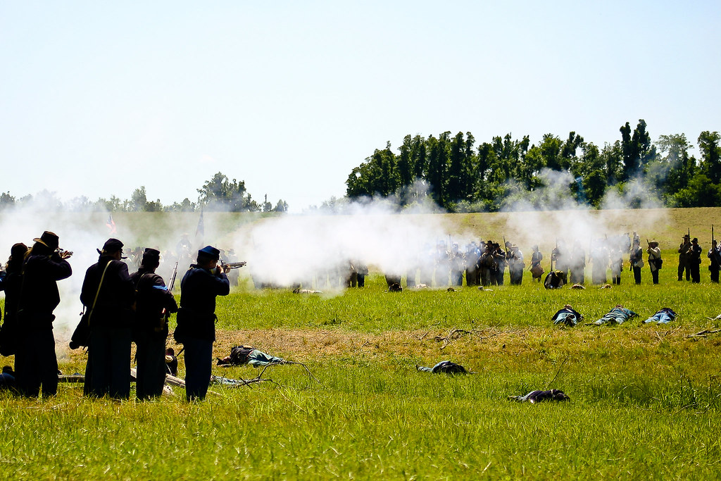
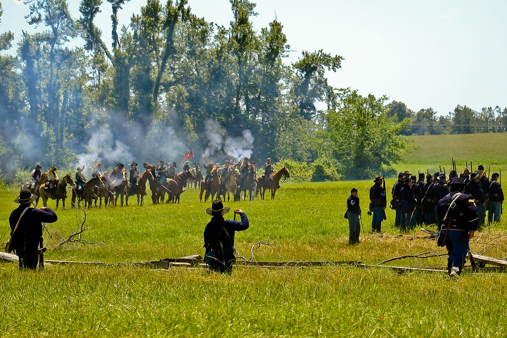
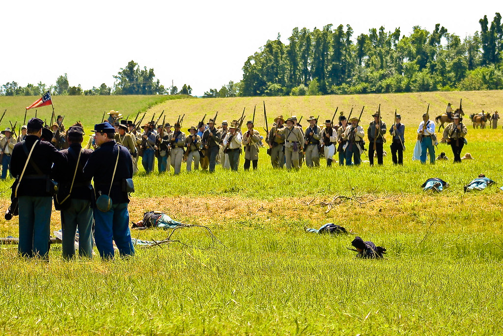
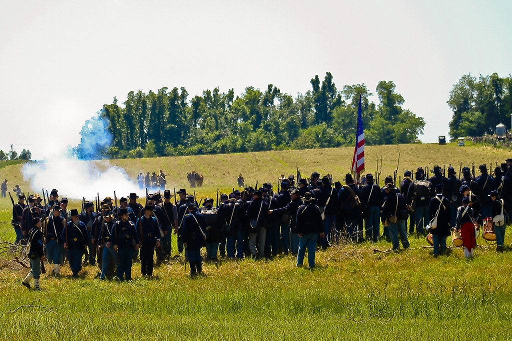
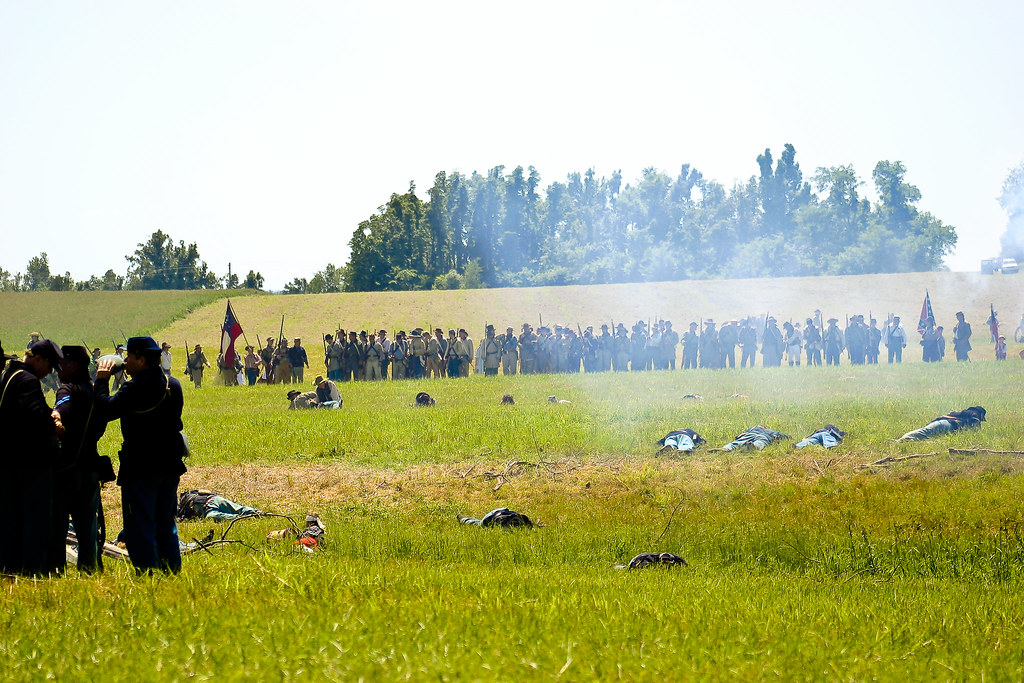
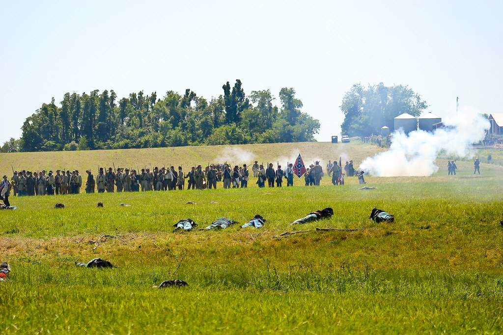
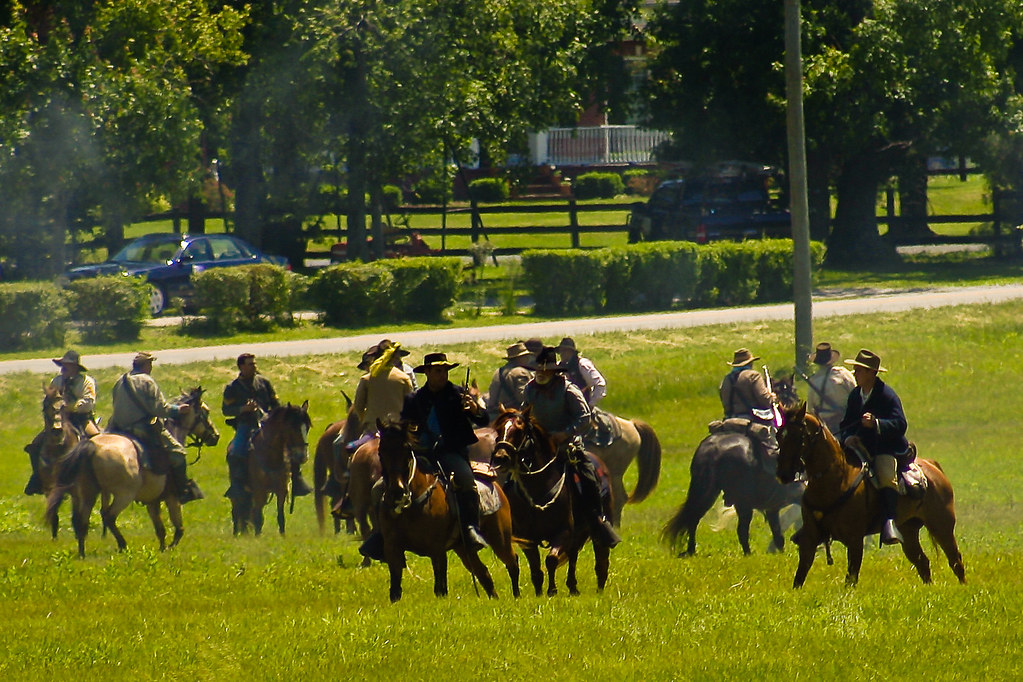
Battle of Sacramento, KY: May 16, 17, 18, 2008

Battle of Sacramento, KY: May 16, 17, 18, 2008
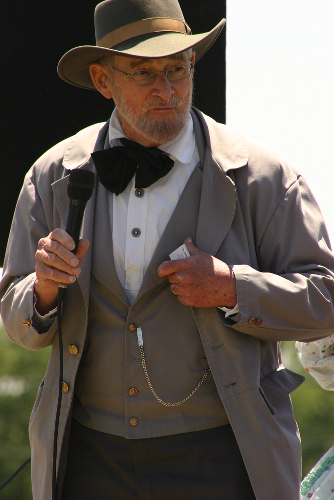
Battle of Sacramento, KY: May 16, 17, 18, 2008

Battle of Sacramento, KY: May 16, 17, 18, 2008
IMG_0031-31
IMG_0028-28
IMG_0125-125
IMG_0029-29

IMG_0177-177
IMG_0134-134

IMG_0145-145
IMG_0179-179
IMG_0133-133
IMG_0211-211
IMG_0114-114
IMG_0102-102

IMG_0149-149

IMG_0099-99
IMG_0247-2
IMG_0094-94
IMG_0259-14
IMG_0111-111
IMG_0232-232
IMG_0230-230
IMG_0126-126
Topographic Map of Old Bethel-Buck Gish Rd, Central City, KY, USA
Find elevation by address:

Places near Old Bethel-Buck Gish Rd, Central City, KY, USA:
US-, Central City, KY, USA
S 2nd St, Central City, KY, USA
Central City
US-, Central City, KY, USA
Everly Brothers Blvd, Powderly, KY, USA
KY-, Central City, KY, USA
129 Pendley St
KY-69, Centertown, KY, USA
331 Kameron St
W Main St, Powderly, KY, USA
Powderly
Island
KY-85, Island, KY, USA
Old Nonnel Ln, Drakesboro, KY, USA
Greenville
Matanzas Rd, Centertown, KY, USA
318 Fox Dr
Main St, Rockport, KY, USA
Rockport
Drakesboro
Recent Searches:
- Elevation of Zimmer Trail, Pennsylvania, USA
- Elevation of 87 Kilmartin Ave, Bristol, CT, USA
- Elevation of Honghe National Nature Reserve, QP95+PJP, Tongjiang, Heilongjiang, Jiamusi, Heilongjiang, China
- Elevation of Hercules Dr, Colorado Springs, CO, USA
- Elevation of Szlak pieszy czarny, Poland
- Elevation of Griffing Blvd, Biscayne Park, FL, USA
- Elevation of Kreuzburger Weg 13, Düsseldorf, Germany
- Elevation of Gateway Blvd SE, Canton, OH, USA
- Elevation of East W.T. Harris Boulevard, E W.T. Harris Blvd, Charlotte, NC, USA
- Elevation of West Sugar Creek, Charlotte, NC, USA