Elevation of Red Hill-Maxwell Rd, Utica, KY, USA
Location: United States > Kentucky > Daviess County > Utica >
Longitude: -87.038234
Latitude: 37.5615049
Elevation: 131m / 430feet
Barometric Pressure: 0KPa
Related Photos:

Female Tree Swallow

Eastern Bluebird - juvenile

#countryside #view #sky #blue #clouds

Robin chicks

Dragonfly - Widow Skimmer

Indigo Bunting

Veil west#1(The Witch's Broom)

Mourning Dove

Male Tree Swallow

Brown Thrasher (maybe a juvenile)

Butterfly Milkweed - 6/9/13

Female Tree Swallow

Male Tree Swallow

Eastern Bluebird - juvenile

Eastern Bluebird- juvenile

Black-eyed Susan - 6/9/13

New goats feeding

The days Last gleaming

heysátan

to the winds we give our prayers
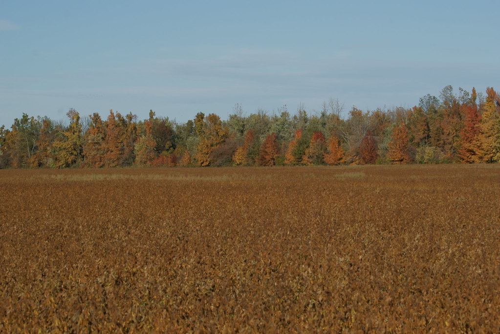
Autumn Colors

TBR land
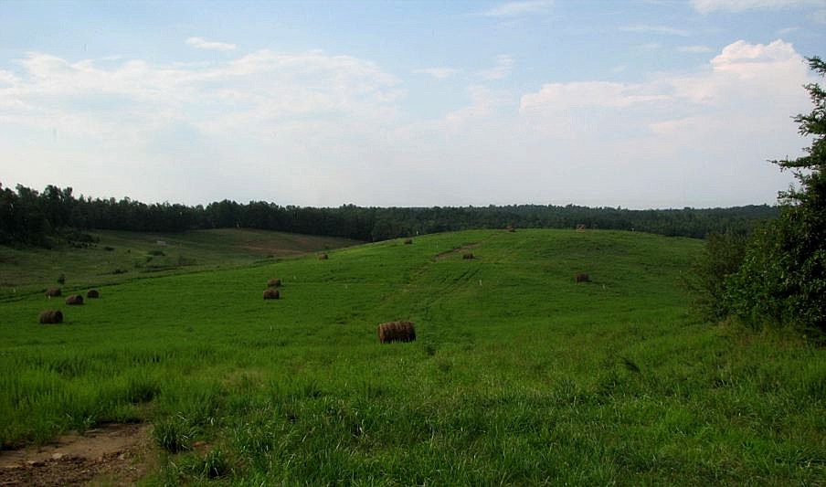
TBR land

Storm Rollin' In
Topographic Map of Red Hill-Maxwell Rd, Utica, KY, USA
Find elevation by address:

Places near Red Hill-Maxwell Rd, Utica, KY, USA:
11133 Fields Rd S
11450 Us-431
US-, Livermore, KY, USA
Utica
429 Ky-1207
US-, Utica, KY, USA
Matanzas Rd, Centertown, KY, USA
Masonville
278 A G Daniel Rd
Livermore
E 7th St, Livermore, KY, USA
8038 Ky-762
Hill Bridge Rd, Owensboro, KY, USA
KY-, Calhoun, KY, USA
Hill Bridge Rd, Utica, KY, USA
KY-, Philpot, KY, USA
KY-, Hartford, KY, USA
Centertown
Island
8240 Todd Bridge Rd
Recent Searches:
- Elevation map of Greenland, Greenland
- Elevation of Sullivan Hill, New York, New York, 10002, USA
- Elevation of Morehead Road, Withrow Downs, Charlotte, Mecklenburg County, North Carolina, 28262, USA
- Elevation of 2800, Morehead Road, Withrow Downs, Charlotte, Mecklenburg County, North Carolina, 28262, USA
- Elevation of Yangbi Yi Autonomous County, Yunnan, China
- Elevation of Pingpo, Yangbi Yi Autonomous County, Yunnan, China
- Elevation of Mount Malong, Pingpo, Yangbi Yi Autonomous County, Yunnan, China
- Elevation map of Yongping County, Yunnan, China
- Elevation of North 8th Street, Palatka, Putnam County, Florida, 32177, USA
- Elevation of 107, Big Apple Road, East Palatka, Putnam County, Florida, 32131, USA
- Elevation of Jiezi, Chongzhou City, Sichuan, China
- Elevation of Chongzhou City, Sichuan, China
- Elevation of Huaiyuan, Chongzhou City, Sichuan, China
- Elevation of Qingxia, Chengdu, Sichuan, China
- Elevation of Corso Fratelli Cairoli, 35, Macerata MC, Italy
- Elevation of Tallevast Rd, Sarasota, FL, USA
- Elevation of 4th St E, Sonoma, CA, USA
- Elevation of Black Hollow Rd, Pennsdale, PA, USA
- Elevation of Oakland Ave, Williamsport, PA, USA
- Elevation of Pedrógão Grande, Portugal