Elevation of KY-, Philpot, KY, USA
Location: United States > Kentucky > Daviess County > Philpot >
Longitude: -86.960055
Latitude: 37.65451
Elevation: 138m / 453feet
Barometric Pressure: 100KPa
Elevation Map:
Satellite Map:
Related Photos:

#countryside #view #sky #blue #clouds

Owensboro Christian Church entry view

Robin chicks

Veil west#1(The Witch's Broom)

Katie before her Christmas Glee performance.

Sentinel of Liberty. Katie as Captain America, 2014 Halloween

Katie as Captain America, 2014 Halloween

Katie inducted into National Junior Honor Society.

Katie & Mallory at their Glee/Chorus performance Tuesday night.

Katie inducted into National Junior Honor Society.

Rural KY Sunset

Sunset - Veach Rd

sunset 2-11-07
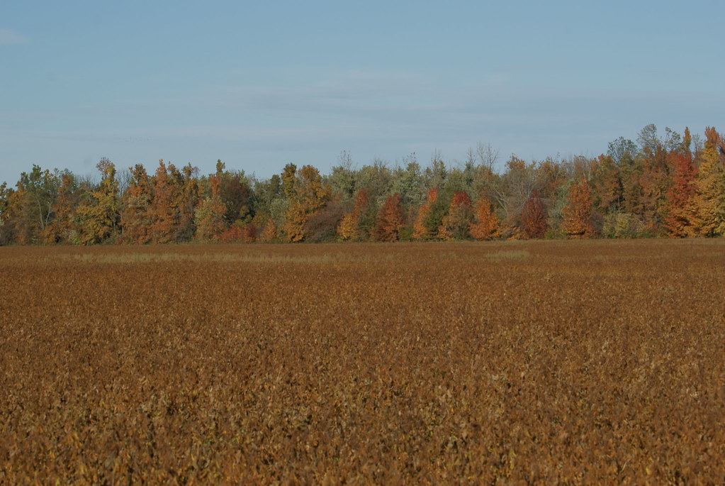
Autumn Colors

TBR land
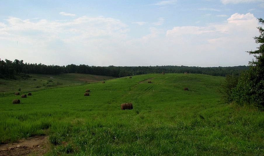
TBR land

New goats feeding

Storm Rollin' In

Owensboro Community College

Hines Center - Sunset 1
Topographic Map of KY-, Philpot, KY, USA
Find elevation by address:

Places near KY-, Philpot, KY, USA:
KY-, Philpot, KY, USA
US-, Utica, KY, USA
Masonville
Philpot
KY-, Whitesville, KY, USA
4701 Millers Mill Rd
Leitchfield Rd, Owensboro, KY, USA
Hill Bridge Rd, Owensboro, KY, USA
Whitesville, KY, USA
KY-, Philpot, KY, USA
Stone Creek Park
3552 Bold Forbes Way
4007 Noel Pl
4203 Hunter Pointe
2011 Trillium Gardens
3332 Bryant Ct
Daviess County
Hill Bridge Rd, Utica, KY, USA
2114 Oak Ave
1222 Avondale Rd
Recent Searches:
- Elevation of Vista Blvd, Sparks, NV, USA
- Elevation of 15th Ave SE, St. Petersburg, FL, USA
- Elevation of Beall Road, Beall Rd, Florida, USA
- Elevation of Leguwa, Nepal
- Elevation of County Rd, Enterprise, AL, USA
- Elevation of Kolchuginsky District, Vladimir Oblast, Russia
- Elevation of Shustino, Vladimir Oblast, Russia
- Elevation of Lampiasi St, Sarasota, FL, USA
- Elevation of Elwyn Dr, Roanoke Rapids, NC, USA
- Elevation of Congressional Dr, Stevensville, MD, USA