Elevation of Madison, Fredericktown, MO, USA
Location: United States > Missouri > Madison County > St. Michael Township > Fredericktown >
Longitude: -90.347745
Latitude: 37.5641437
Elevation: 208m / 682feet
Barometric Pressure: 99KPa
Elevation Map:
Satellite Map:
Related Photos:

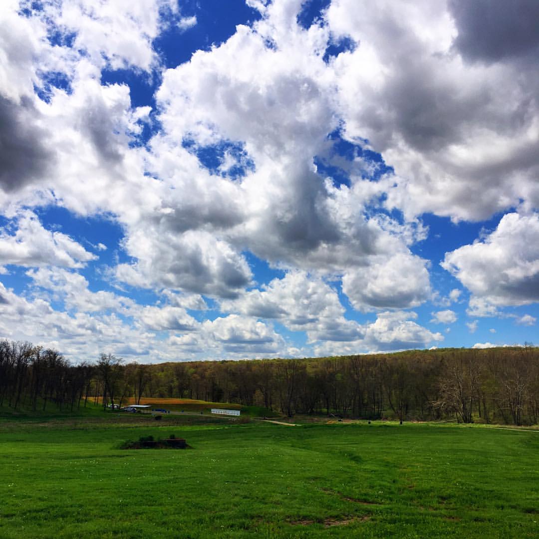
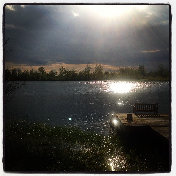
A Bench With a View

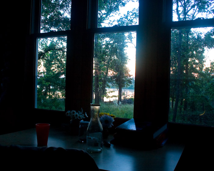
View from my desk
View from the office today... Not a bad day to throw some lead down-range (is there ever a bad day??). Big shout out to Dave & Zak at @asymmetricsolutions for providing another great shooting experience! #sunsoutgunsout #tacticalshooting #glock19
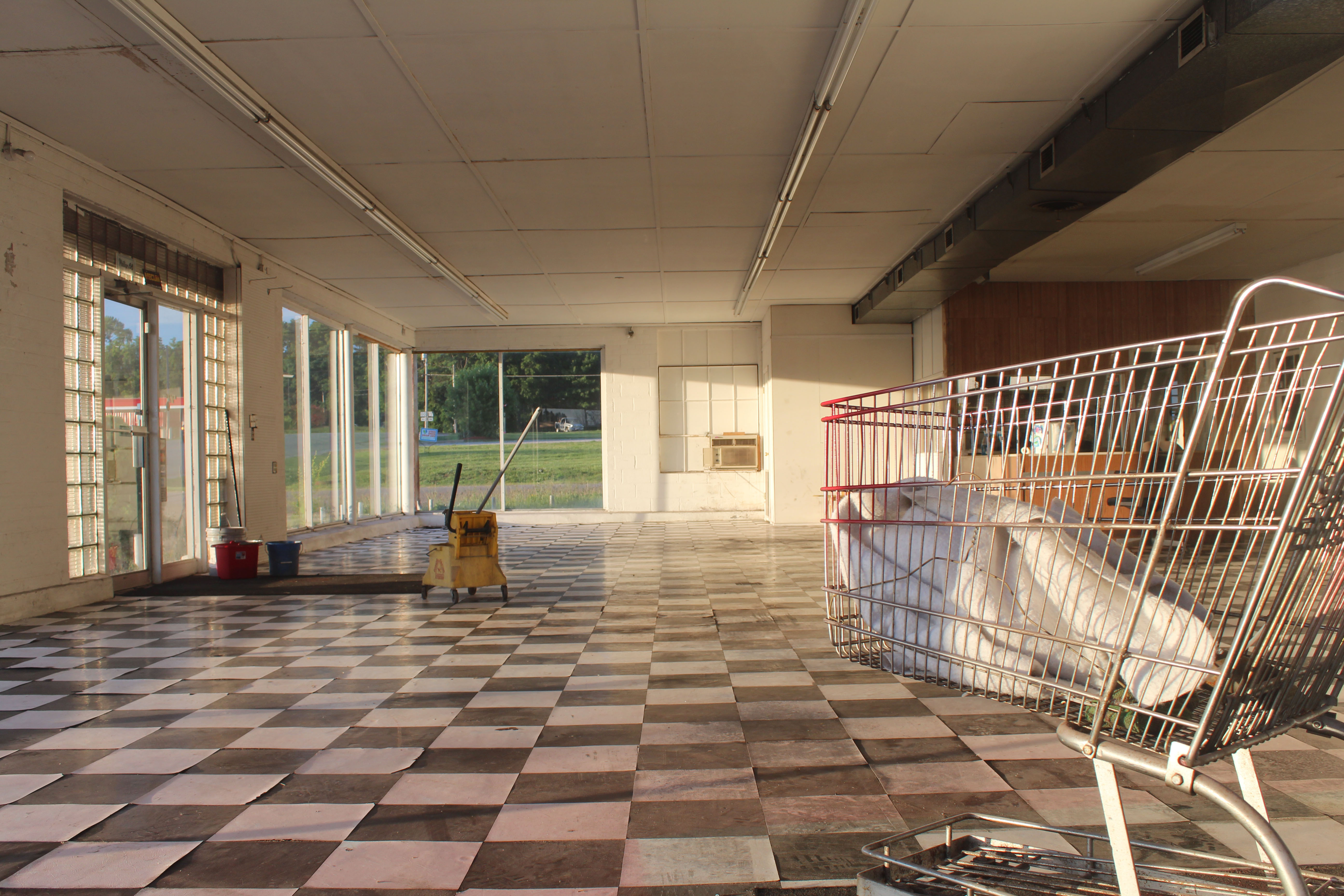
Mowear Autos
For Julie...
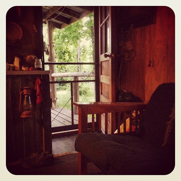
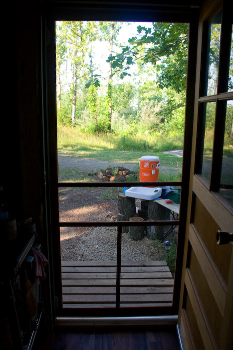
The view out my door, from my bed. Everything is so green and lush... Very pretty.

View from Knob Lick Towersite, St Francois County, Missouri
For Julie...
For Julie...
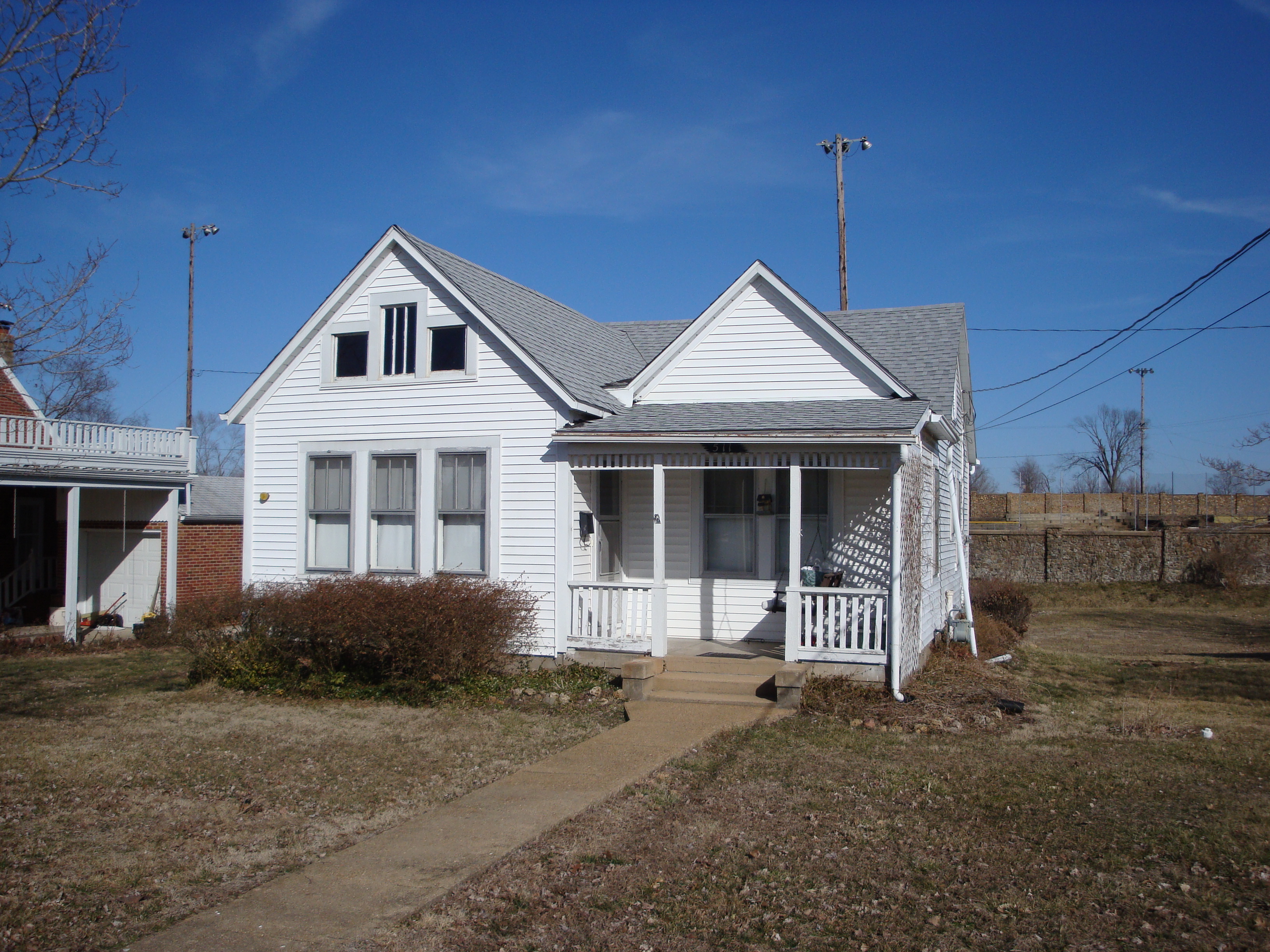
511 Marshall For Sale: Great Wall View, Good Sno-Cone Potential
For Julie...
For Julie...
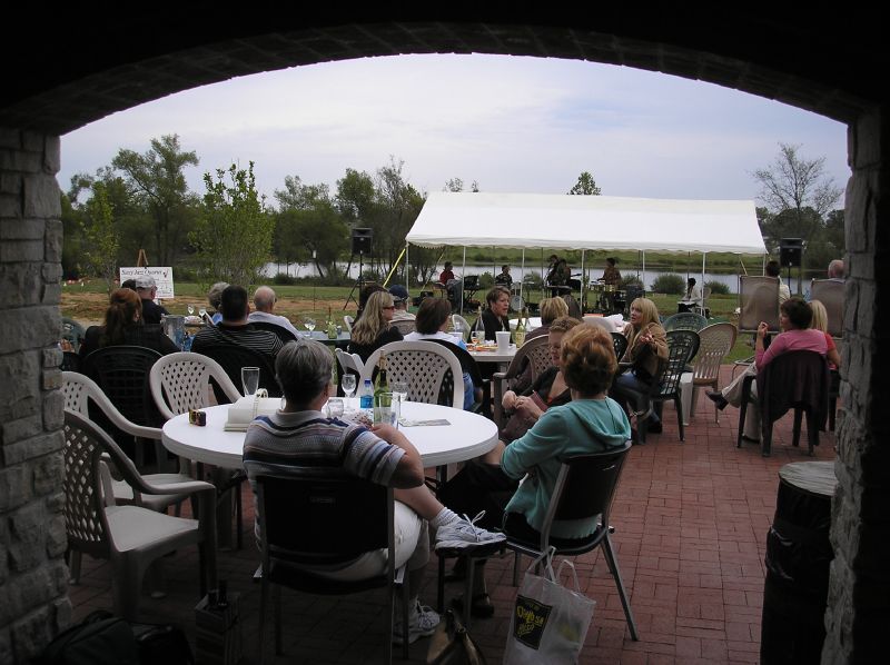
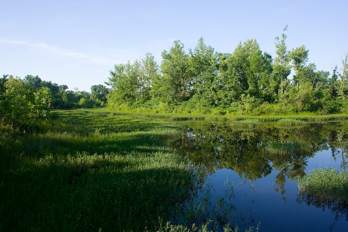
Another view

TC140221 008
TC140222 052
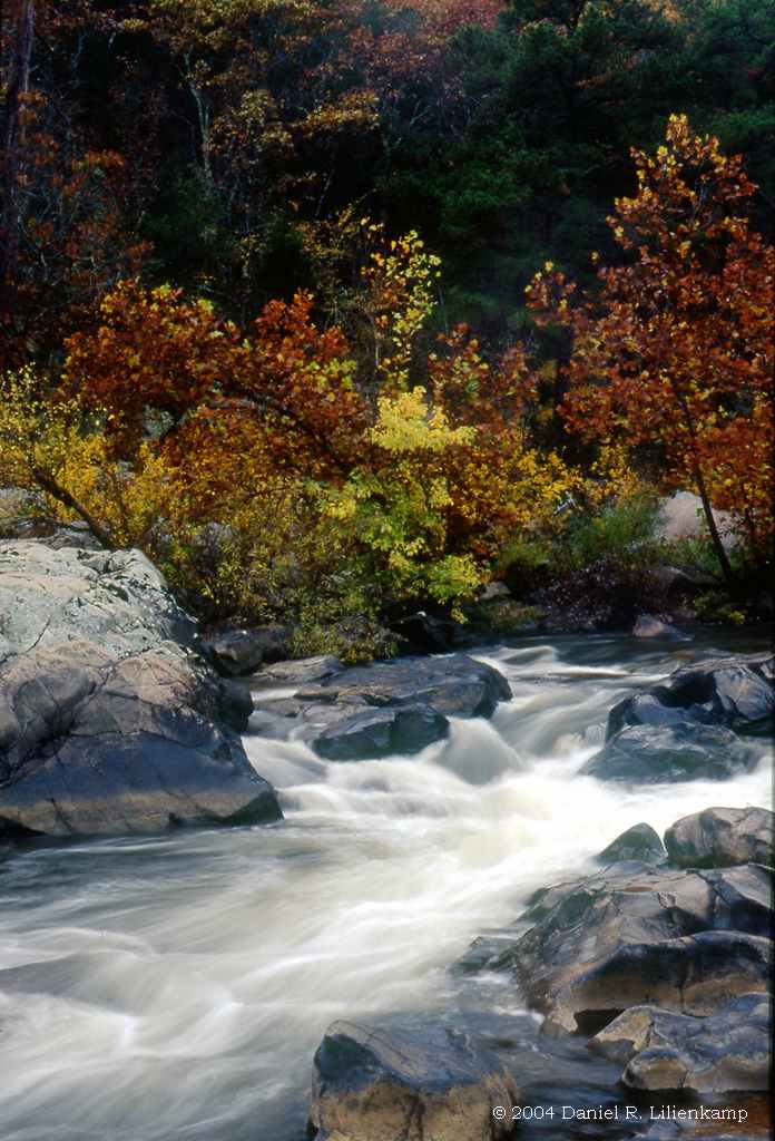
Silver Mines 05-Fall
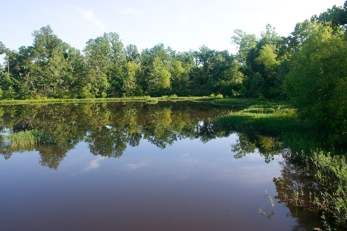
Another Day
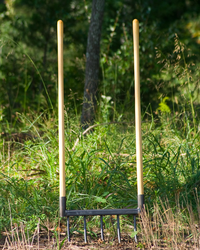
Gulland Forge Broadfork
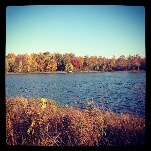
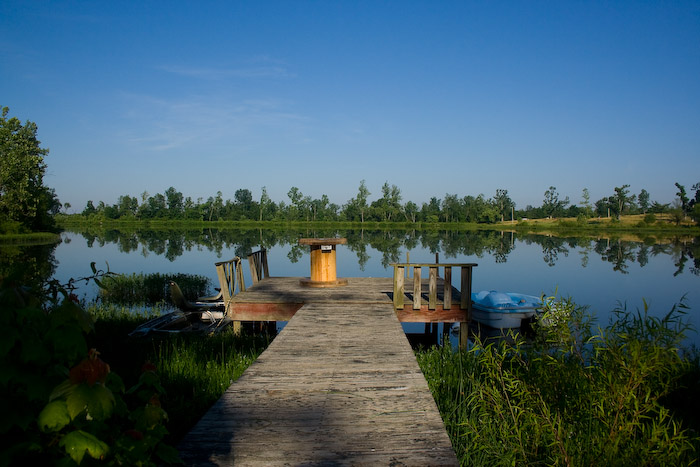
Fall day at the lake
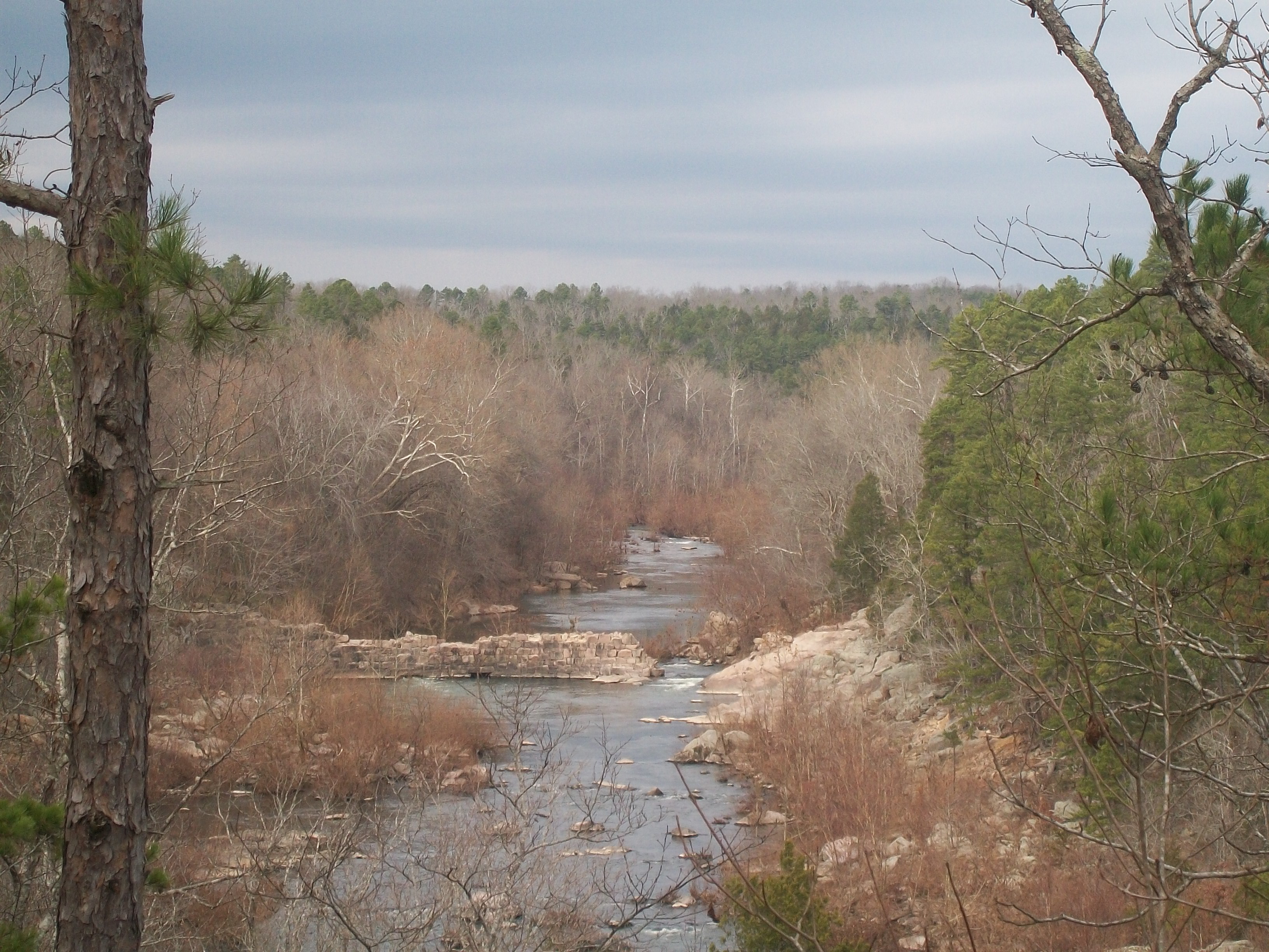
Silver Mines, Mark Twain National Forest

New Swales!
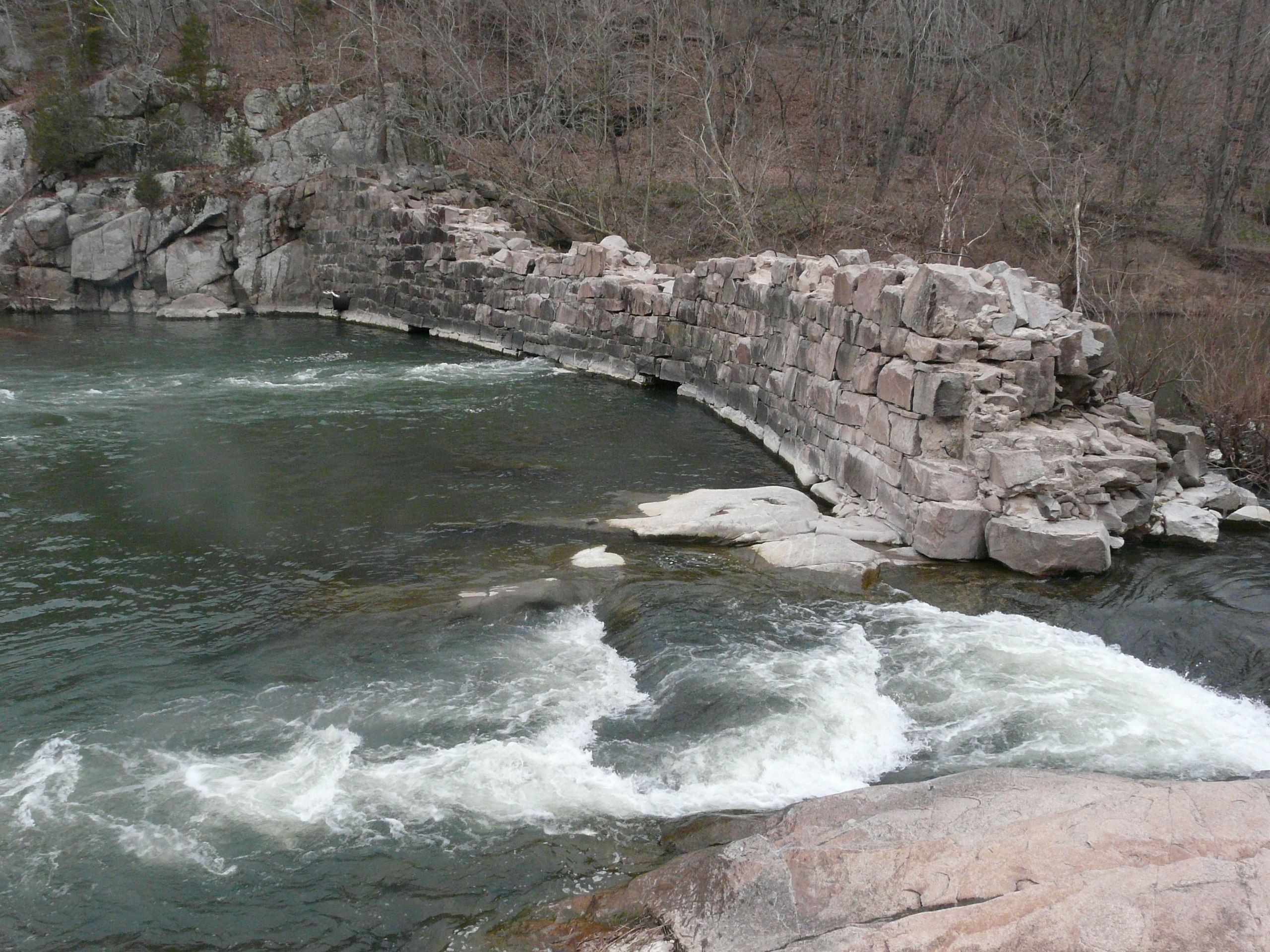
The dam
Topographic Map of Madison, Fredericktown, MO, USA
Find elevation by address:

Places near Madison, Fredericktown, MO, USA:
Madison County
St. Michael Township
110 S Main St
Fredericktown
E Main St, Fredericktown, MO, USA
Madison, Fredericktown, MO, USA
Village Creek Rd, Fredericktown, MO, USA
St. Francois Township
Co Rd, Fredericktown, MO, USA
Cherokee Pass
Co Rd, Annapolis, MO, USA
US-67, Fredericktown, MO, USA
Stevens Branch
6889 Hwy F
Marquand
Liberty Township
Farmington
Doe Run
St. Francois Township
Ironton, MO, USA
Recent Searches:
- Elevation of Groblershoop, South Africa
- Elevation of Power Generation Enterprises | Industrial Diesel Generators, Oak Ave, Canyon Country, CA, USA
- Elevation of Chesaw Rd, Oroville, WA, USA
- Elevation of N, Mt Pleasant, UT, USA
- Elevation of 6 Rue Jules Ferry, Beausoleil, France
- Elevation of Sattva Horizon, 4JC6+G9P, Vinayak Nagar, Kattigenahalli, Bengaluru, Karnataka, India
- Elevation of Great Brook Sports, Gold Star Hwy, Groton, CT, USA
- Elevation of 10 Mountain Laurels Dr, Nashua, NH, USA
- Elevation of 16 Gilboa Ln, Nashua, NH, USA
- Elevation of Laurel Rd, Townsend, TN, USA