Elevation of St. Francois Township, St Francois Township, MO, USA
Location: United States > Missouri > St. Francois County >
Longitude: -90.431372
Latitude: 37.7867424
Elevation: 289m / 948feet
Barometric Pressure: 98KPa
Elevation Map:
Satellite Map:
Related Photos:

night sky

our street

View from Knob Lick Towersite, St Francois County, Missouri
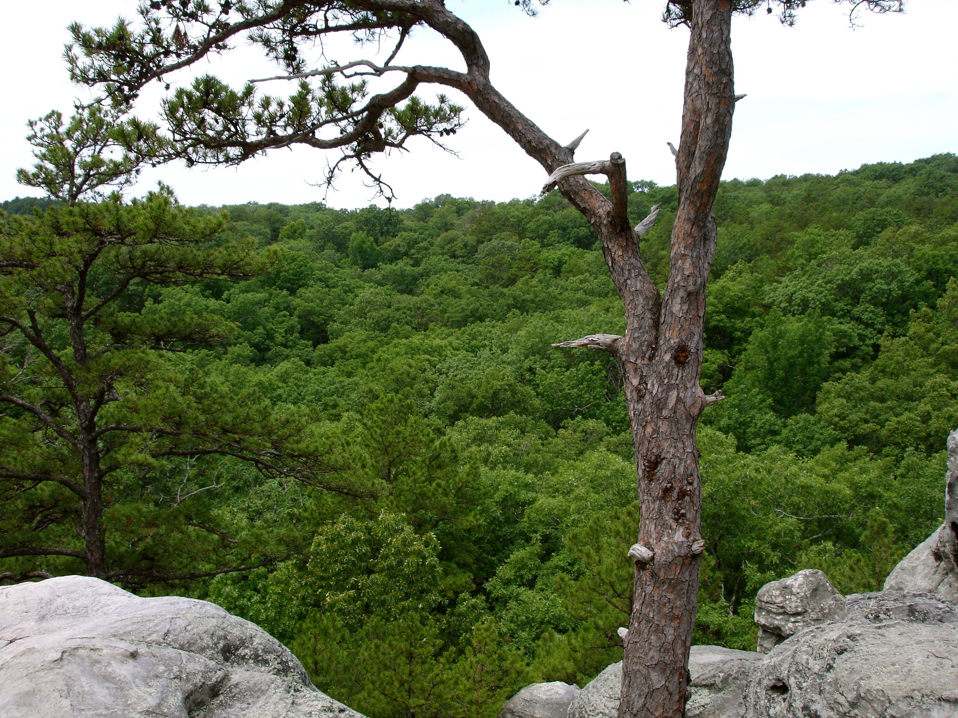
The View from Dome Rock
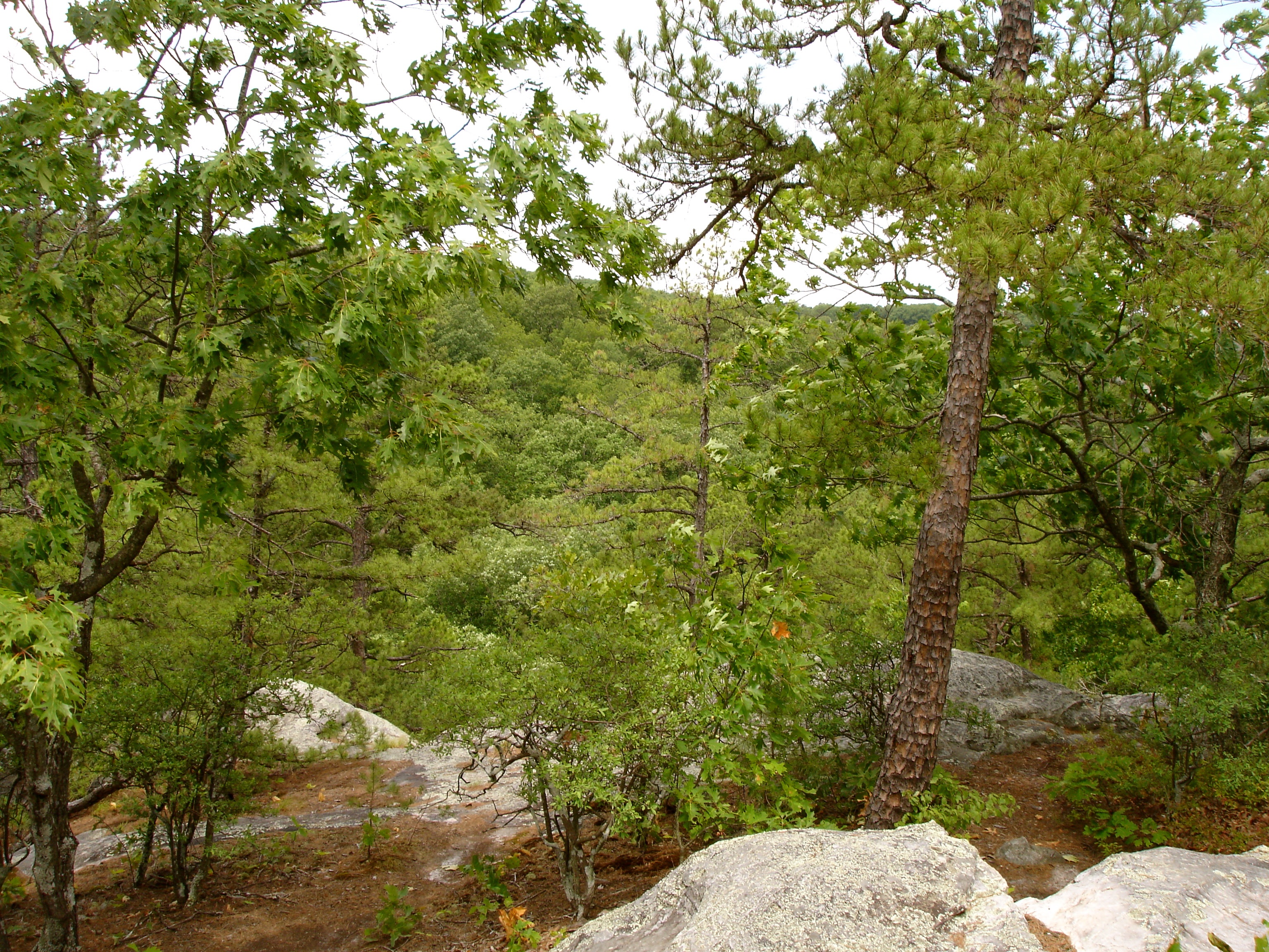
The View From Dome Rock

The View From Dome Rock
Pickle Springs, MO

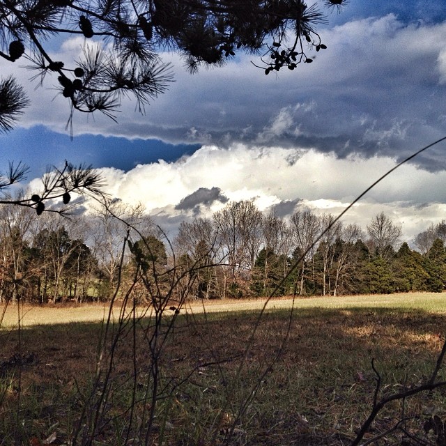
Farmington Sunrise
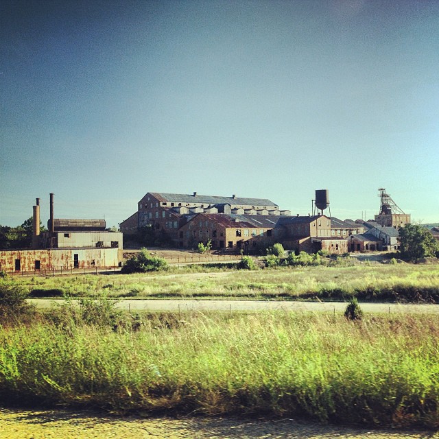
Abandoned mining factory

Morning Light
Way too hot for deer hunting today :-(
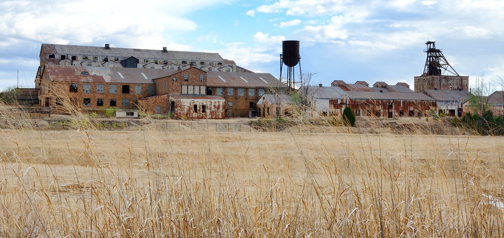
Missouri Mines State Historic Site

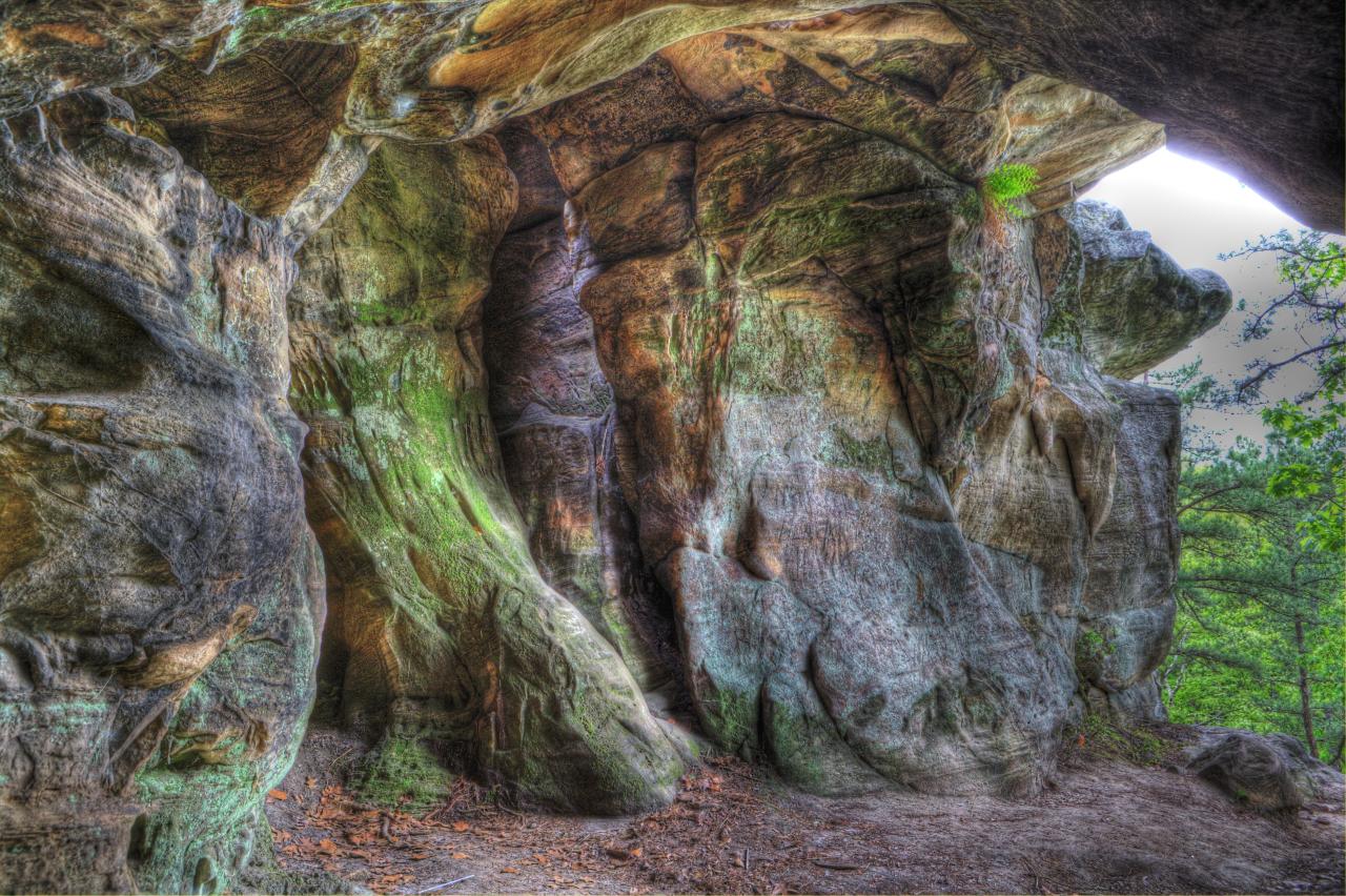
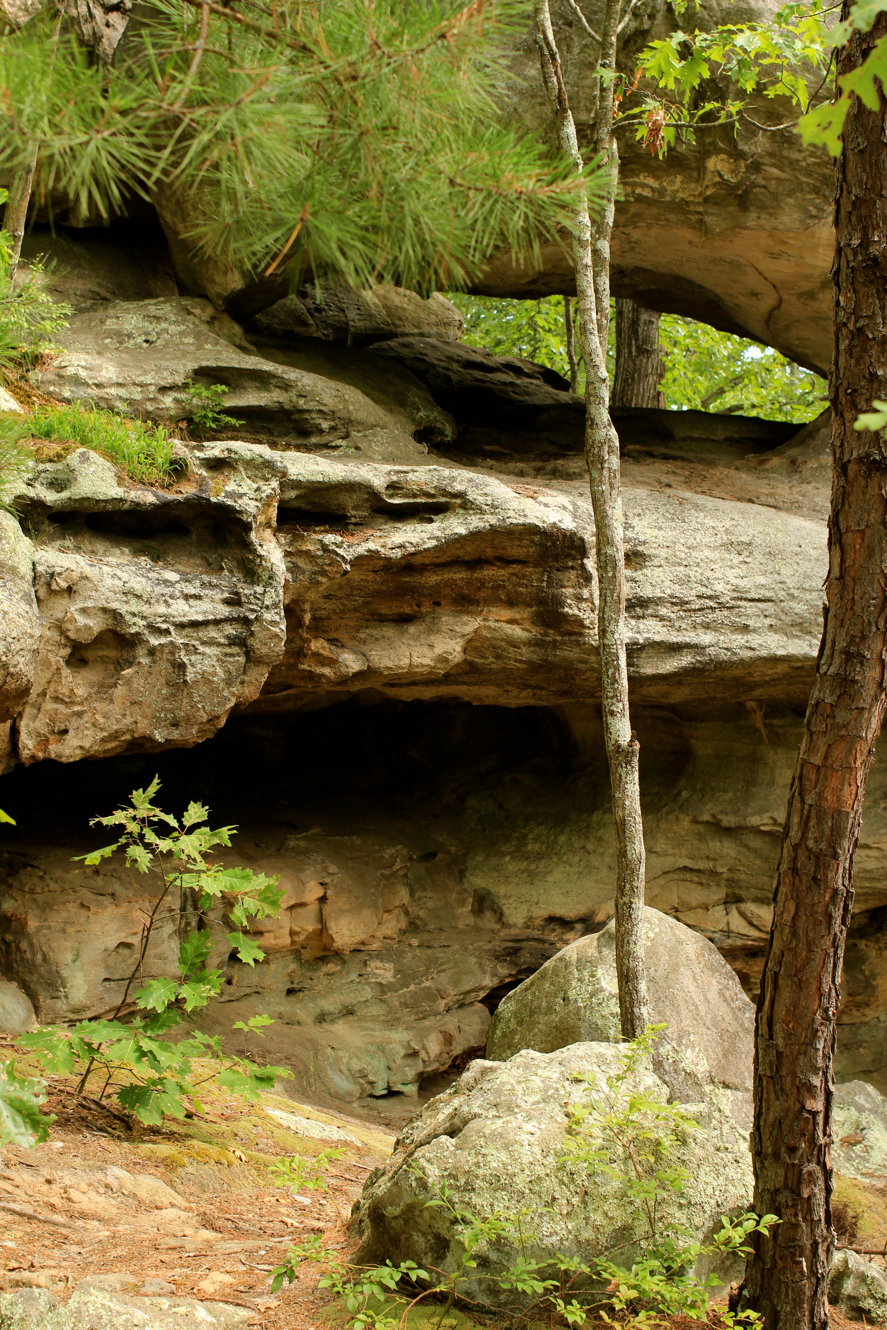
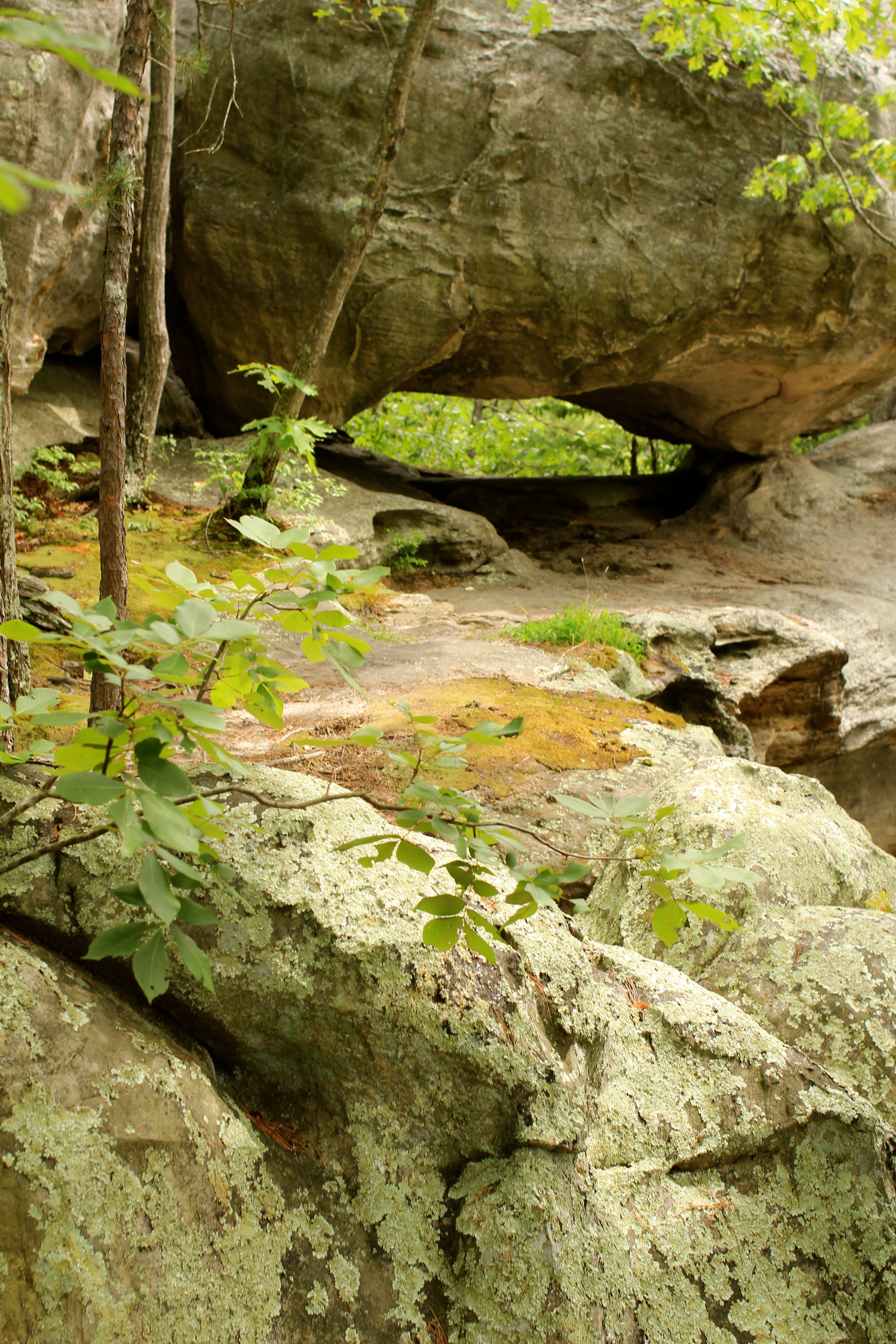
The Slots
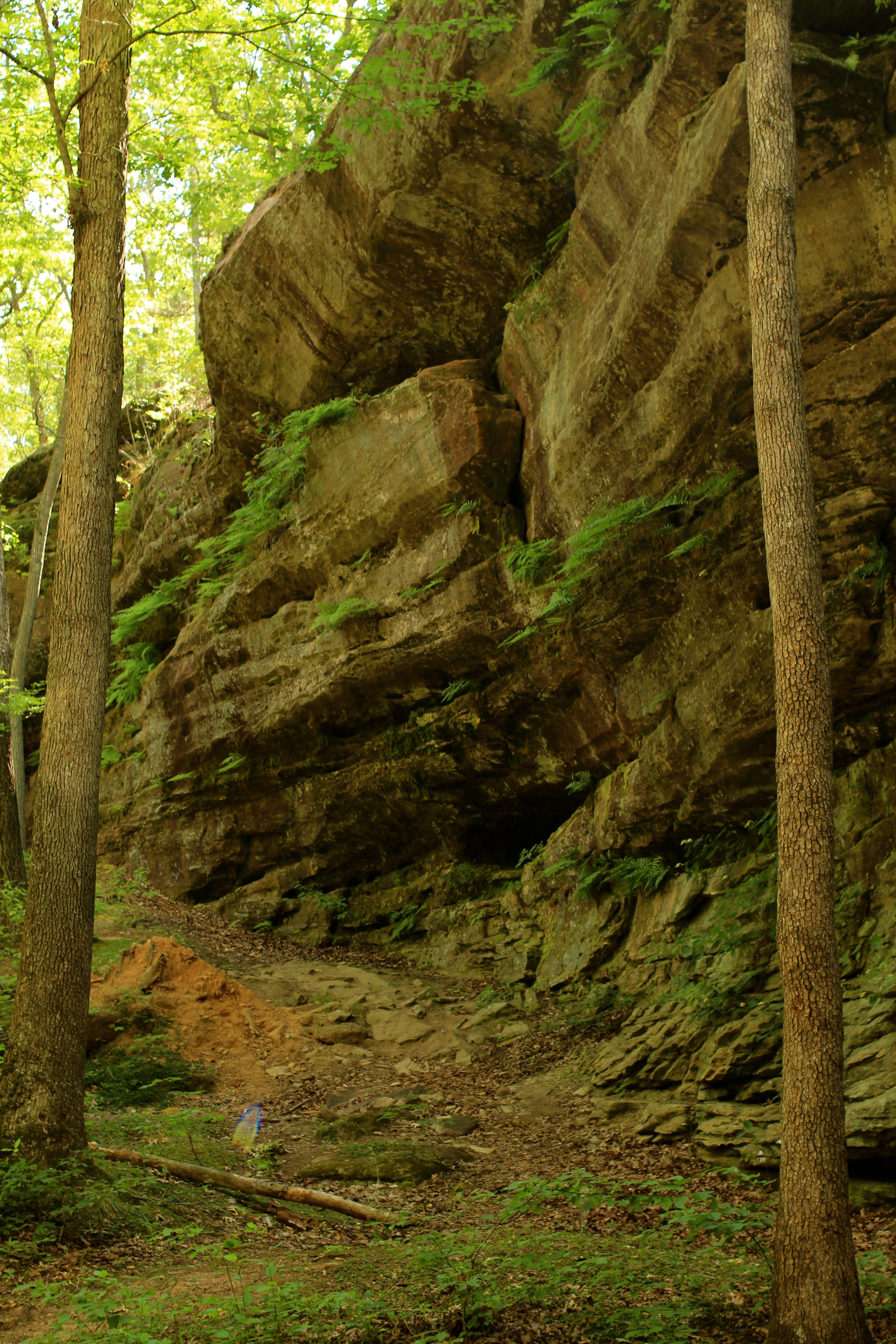
Hickory Canyon

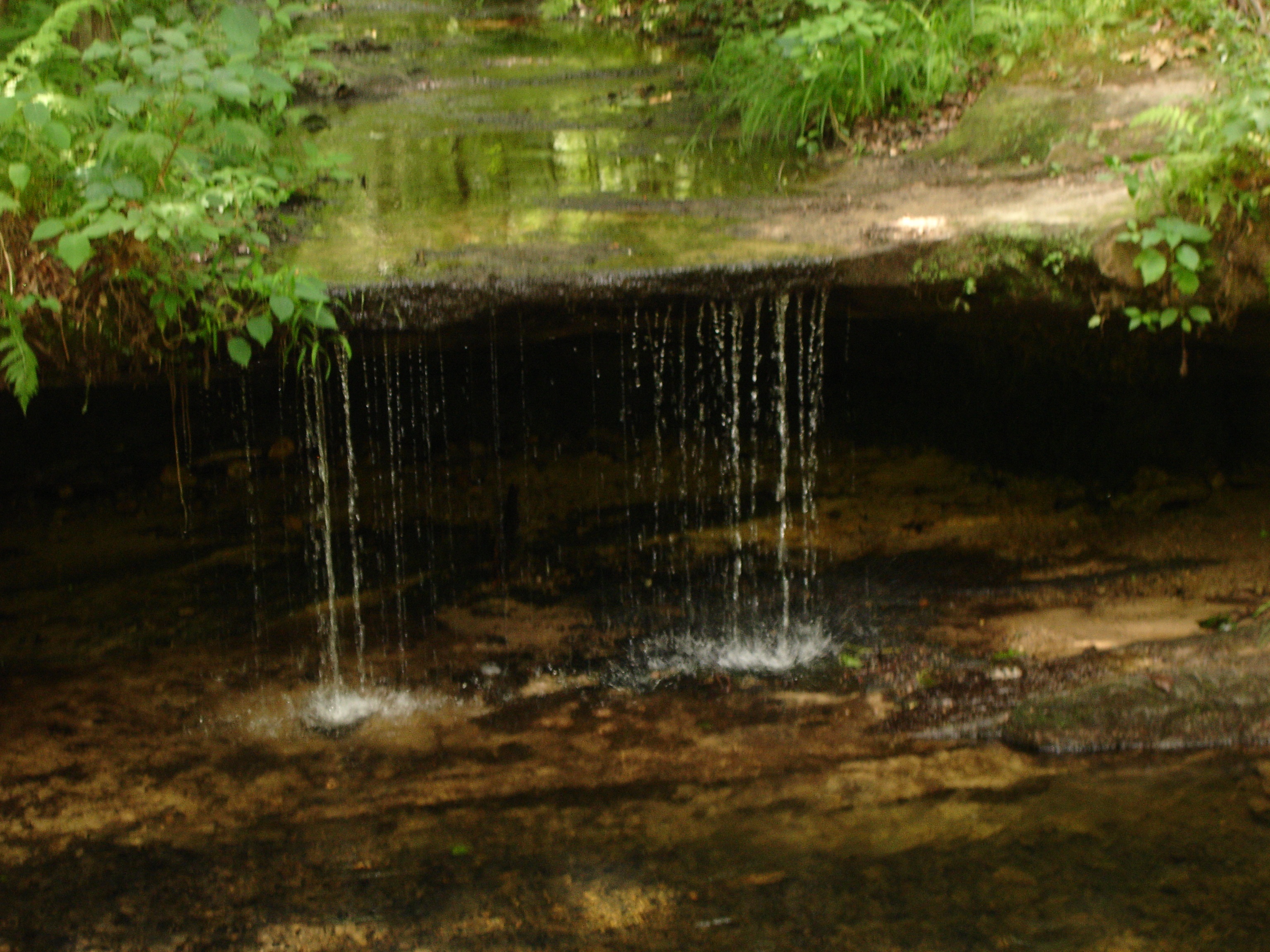
Waterfall on Pickle Creek

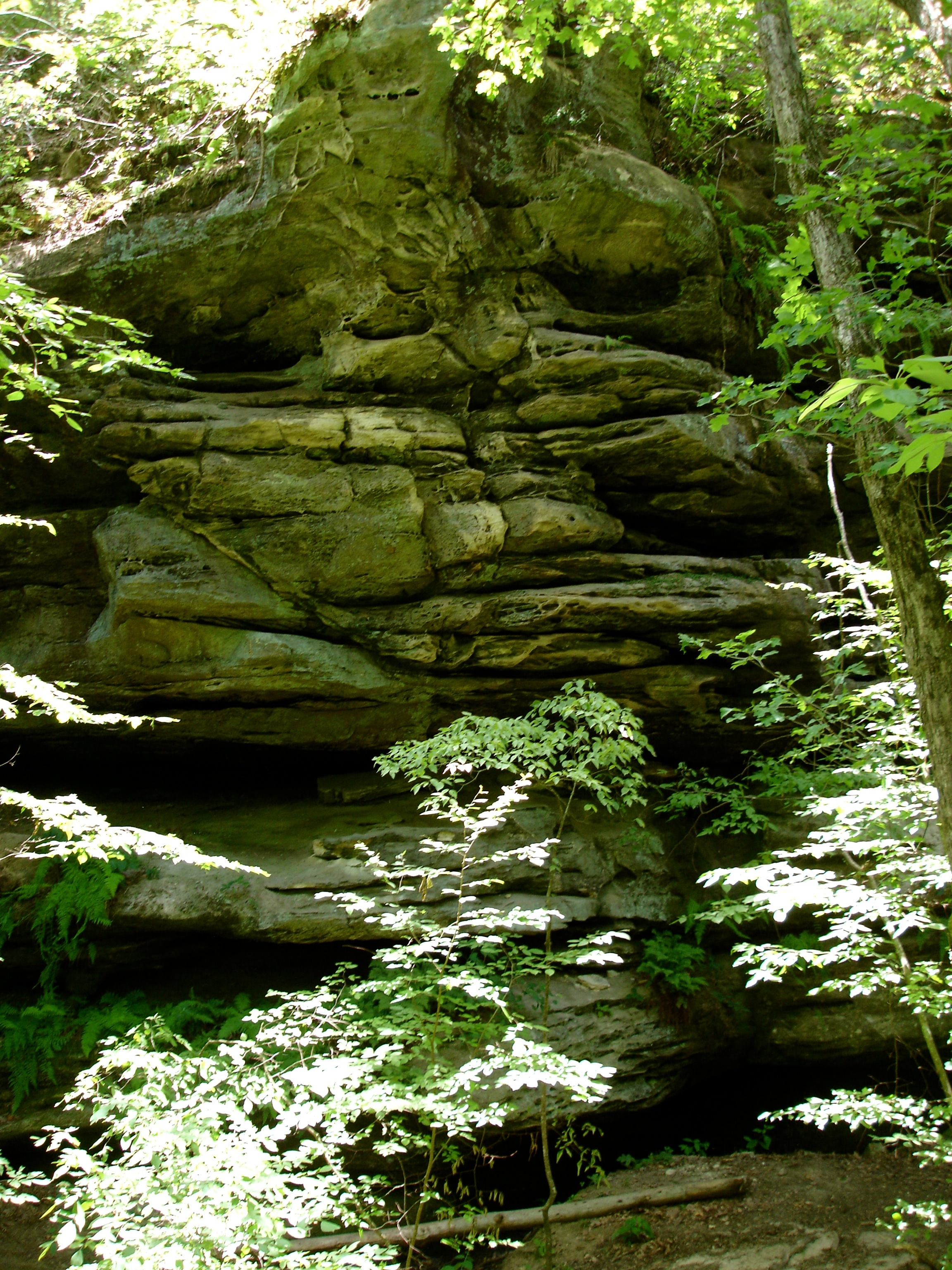
Close up of the Rock Shelf
Pickle Springs Waterfall
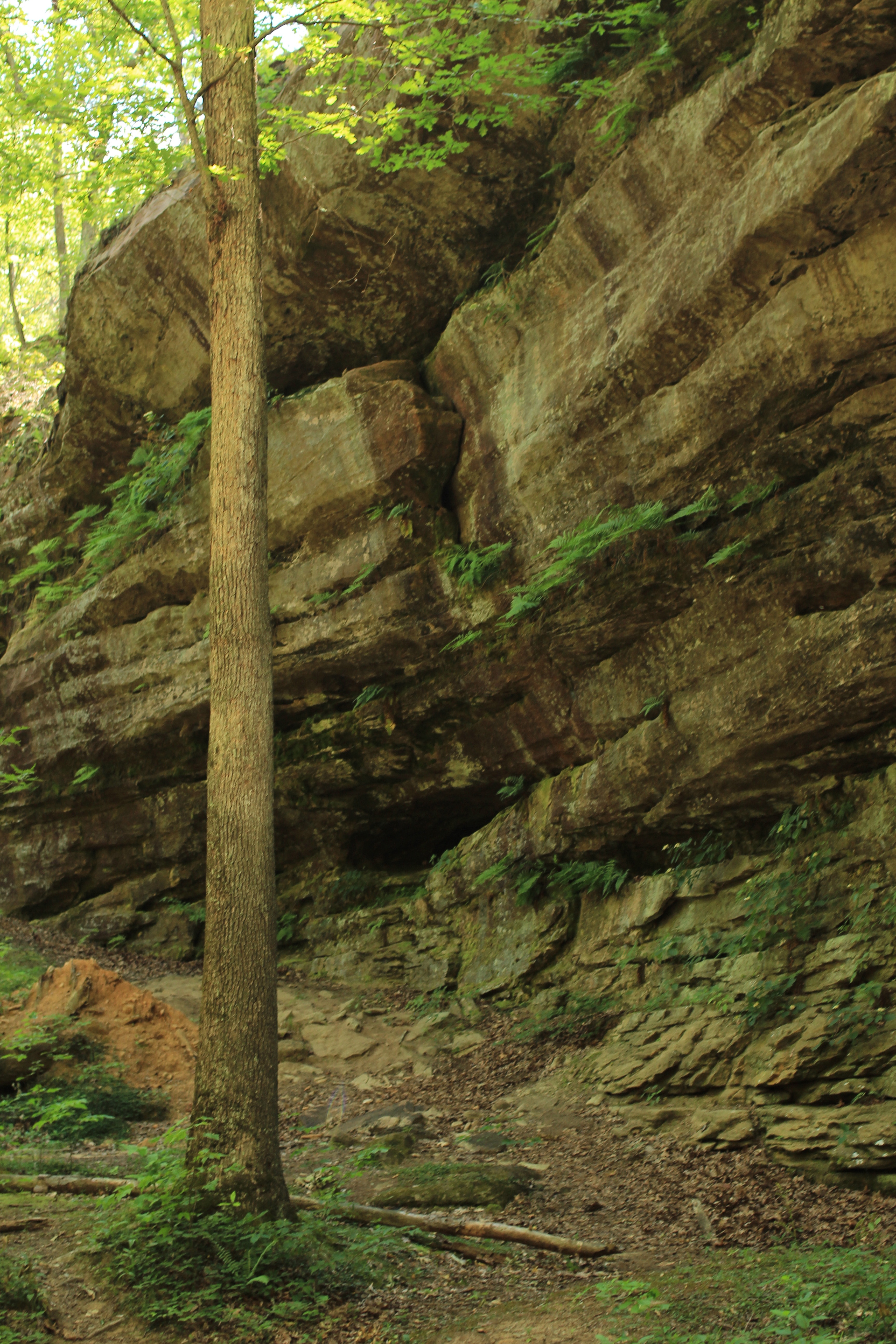
Hickory Canyon
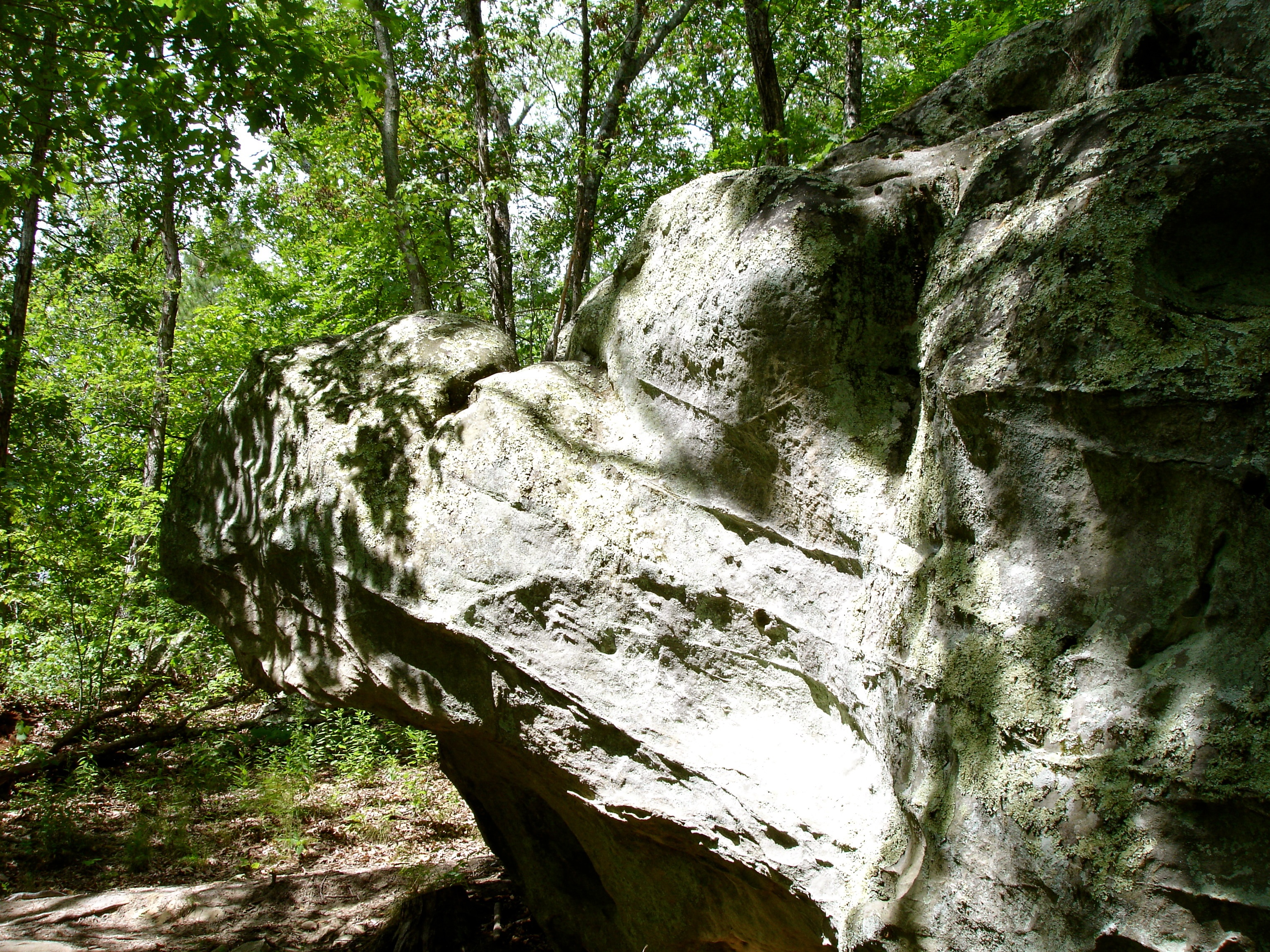
Terrapin Rock
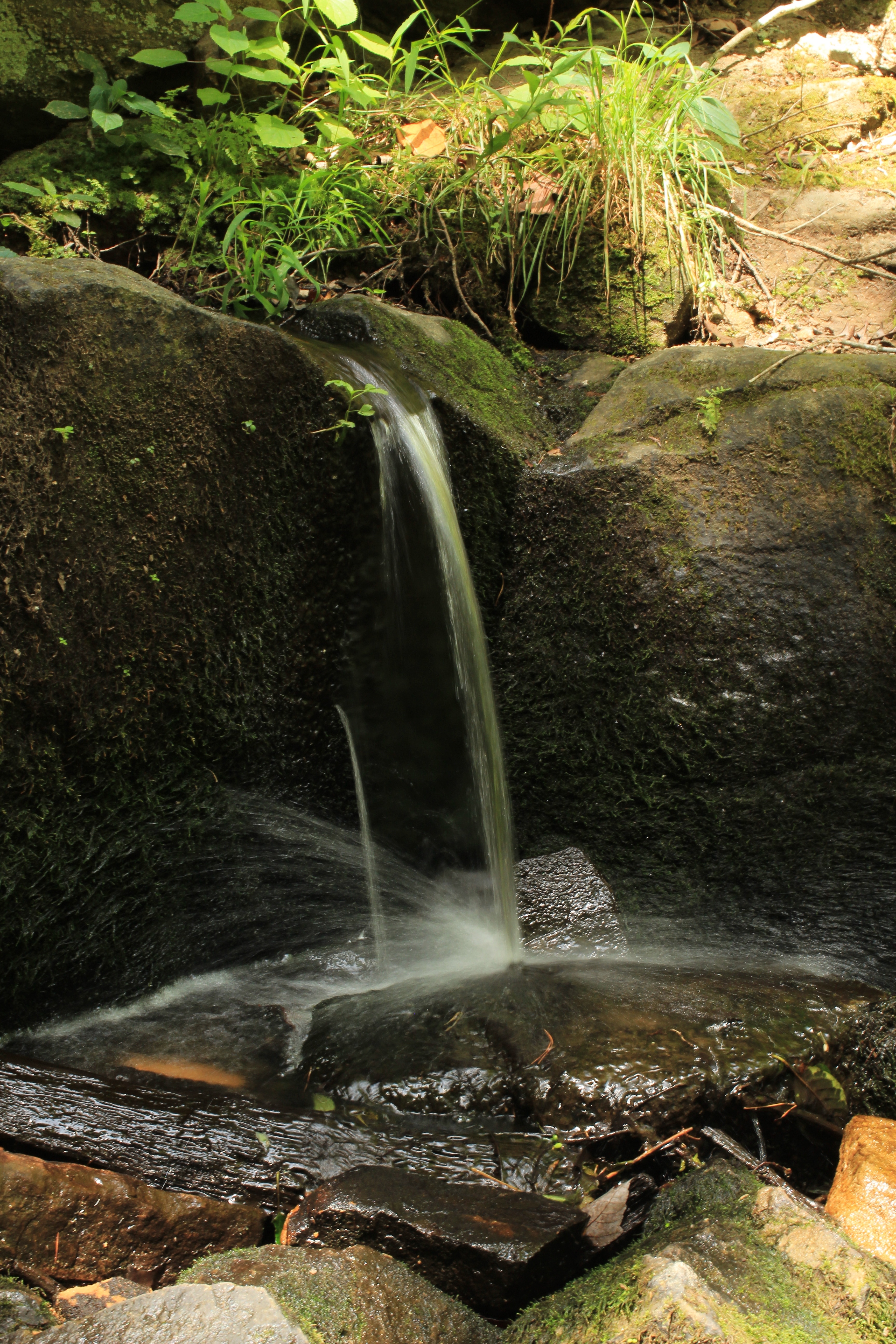
Waterfall on Pickle Creek
Rockpile Canyon
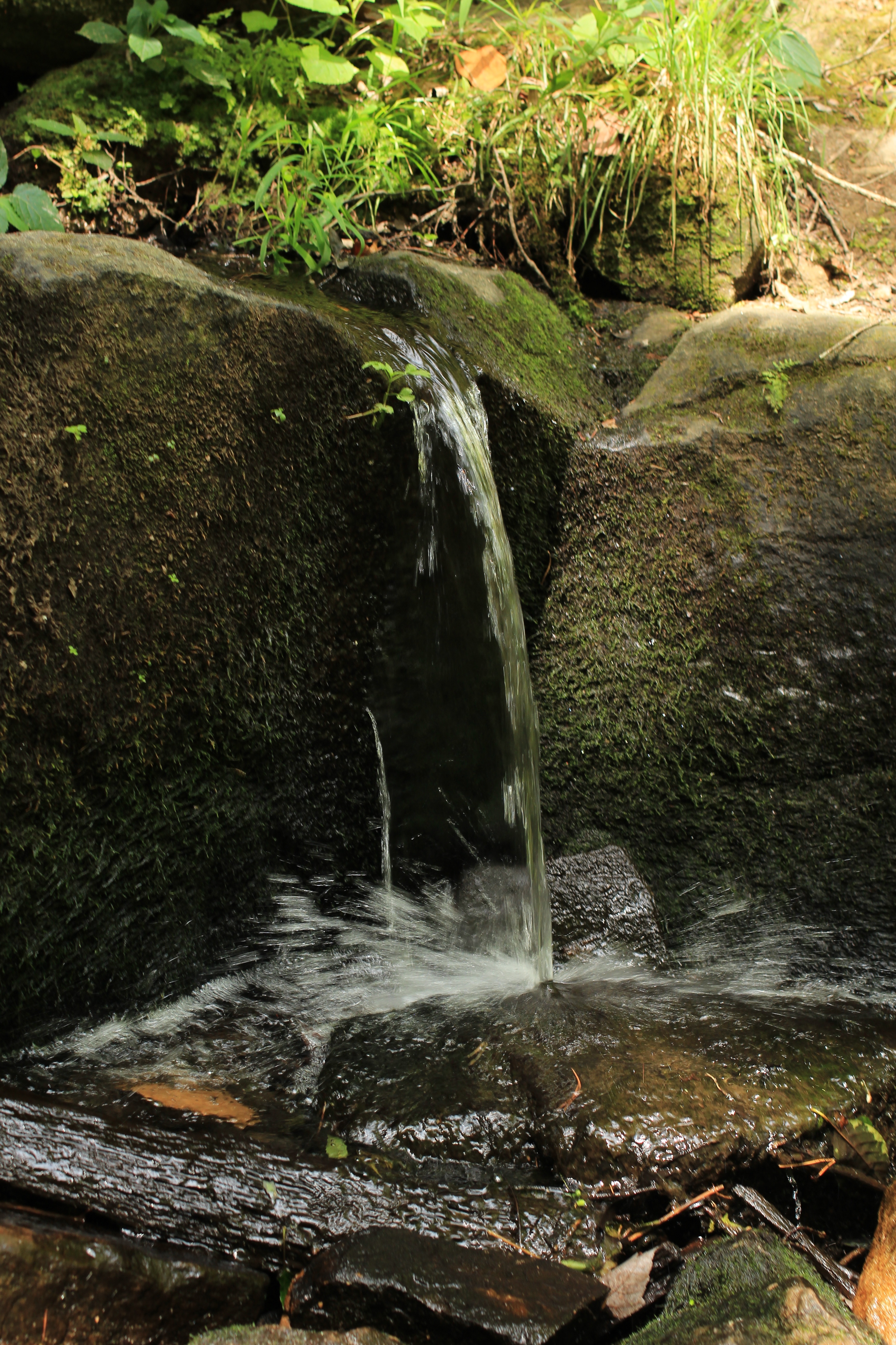
Waterfall on Pickle Creek
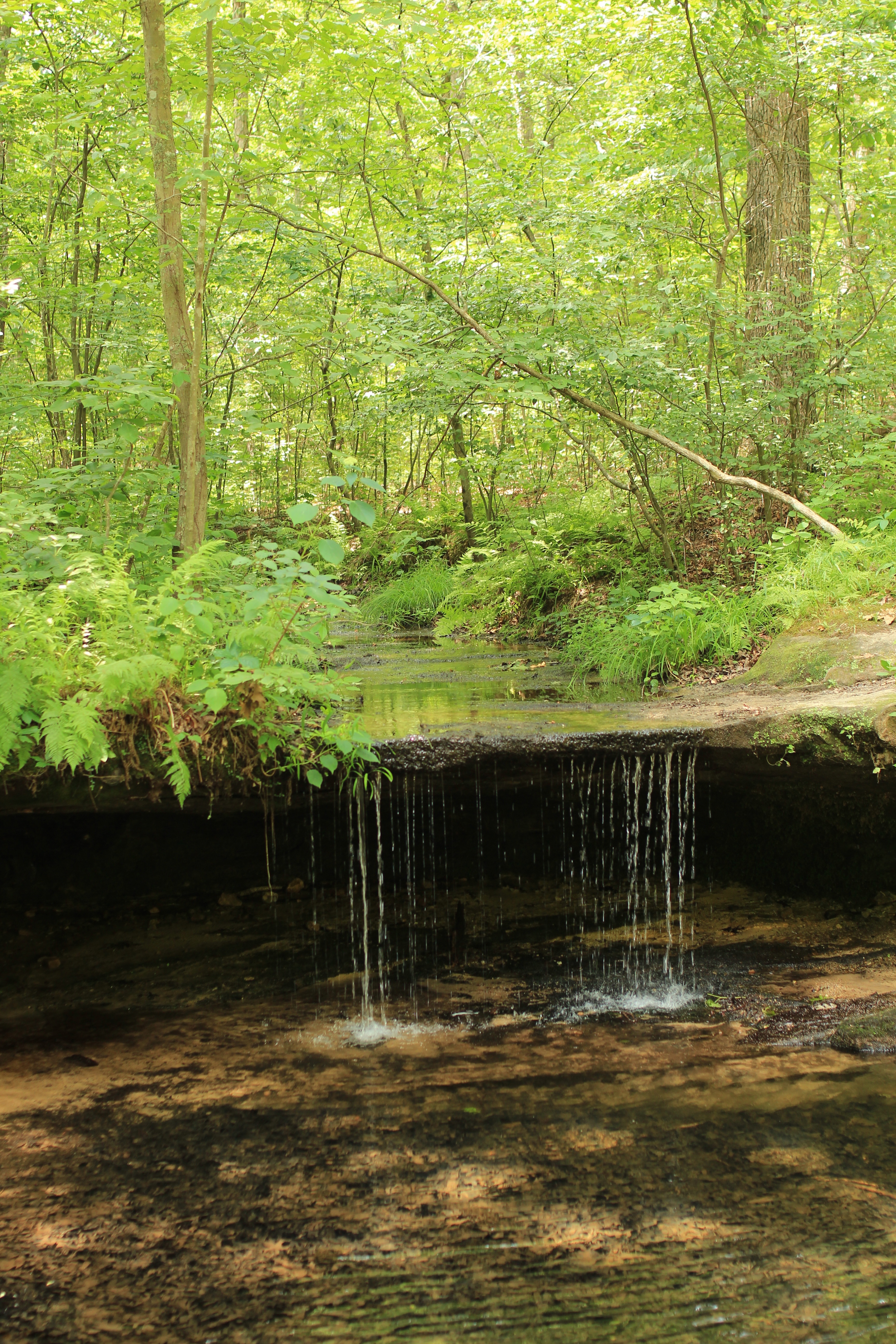
Pickle Springs Waterfall
Cauliflower Rock

Fern on Hickory Canyon trail
Cauliflower Rock
Topographic Map of St. Francois Township, St Francois Township, MO, USA
Find elevation by address:

Places in St. Francois Township, St Francois Township, MO, USA:
Places near St. Francois Township, St Francois Township, MO, USA:
Farmington
Gendale Street
900 Lake Forrest Dr
8 Mulligan Drive
St. Francois County
Doe Run
15 Woodlawn Dr, Leadington, MO, USA
Leadington
2825 Flannery Rd
704 3rd St
6889 Hwy F
Park Hills
Watts St, Park Hills, MO, USA
Desloge
Mitchell Pass
Randolph Township
Robert St, Park Hills, MO, USA
Grove Street
Oak Street
416 Grove St
Recent Searches:
- Elevation of Hercules Dr, Colorado Springs, CO, USA
- Elevation of Szlak pieszy czarny, Poland
- Elevation of Griffing Blvd, Biscayne Park, FL, USA
- Elevation of Kreuzburger Weg 13, Düsseldorf, Germany
- Elevation of Gateway Blvd SE, Canton, OH, USA
- Elevation of East W.T. Harris Boulevard, E W.T. Harris Blvd, Charlotte, NC, USA
- Elevation of West Sugar Creek, Charlotte, NC, USA
- Elevation of Wayland, NY, USA
- Elevation of Steadfast Ct, Daphne, AL, USA
- Elevation of Lagasgasan, X+CQH, Tiaong, Quezon, Philippines