Elevation of Liberty Township, MO, USA
Location: United States > Missouri > Madison County >
Longitude: -90.506882
Latitude: 37.4030052
Elevation: 250m / 820feet
Barometric Pressure: 98KPa
Elevation Map:
Satellite Map:
Related Photos:

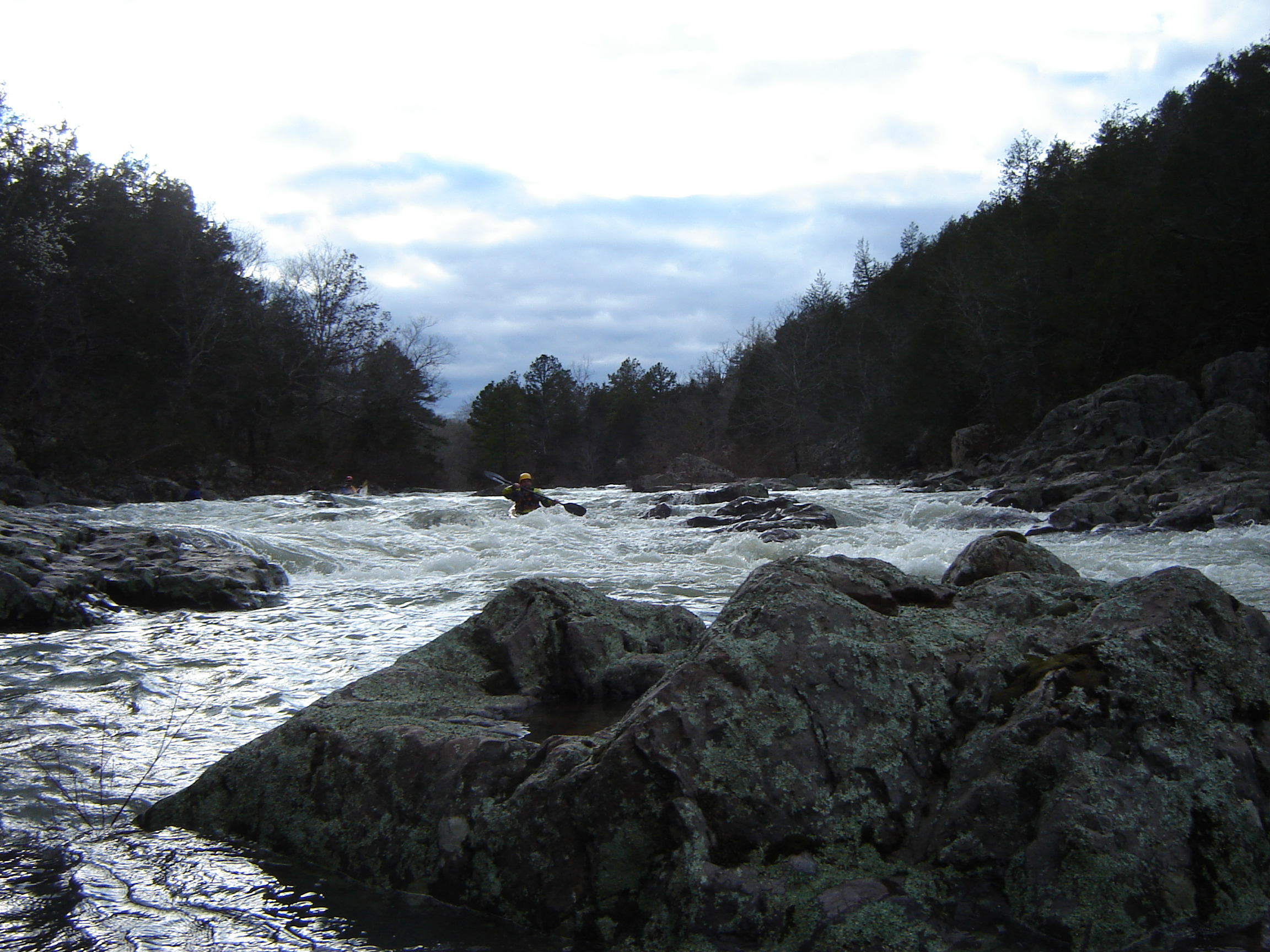
A New Day at Hand

Graves Mountain Conservation Area, Missouri 02
DSC06696.JPG
New Year 2012/2013
DSC06691.JPG

DSC06697.JPG
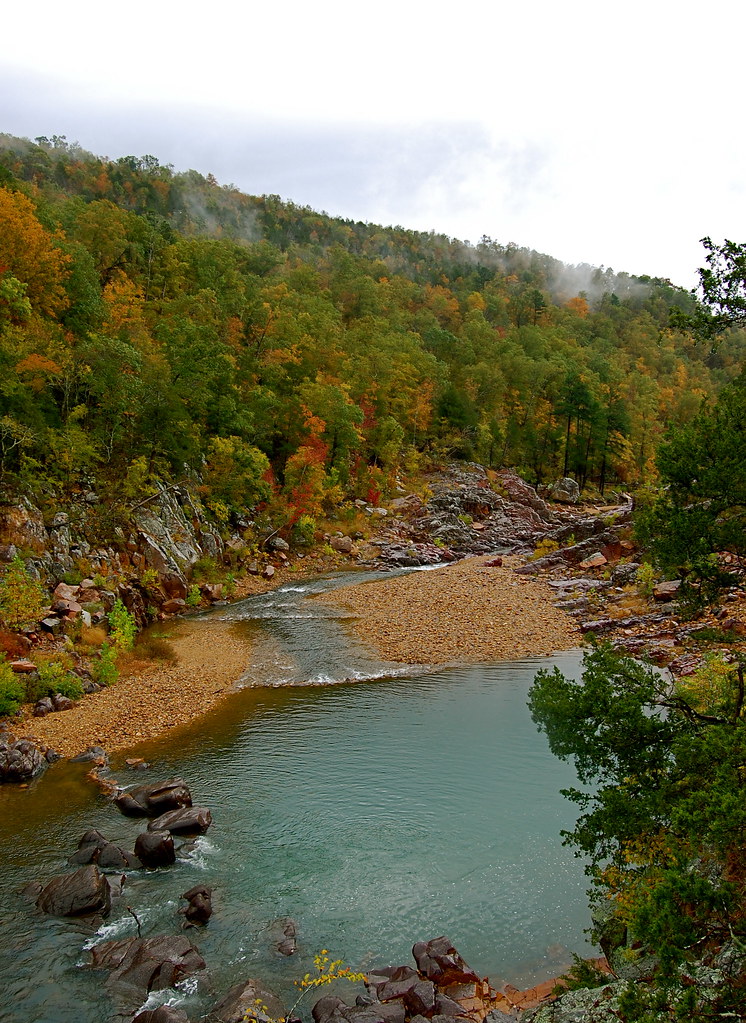
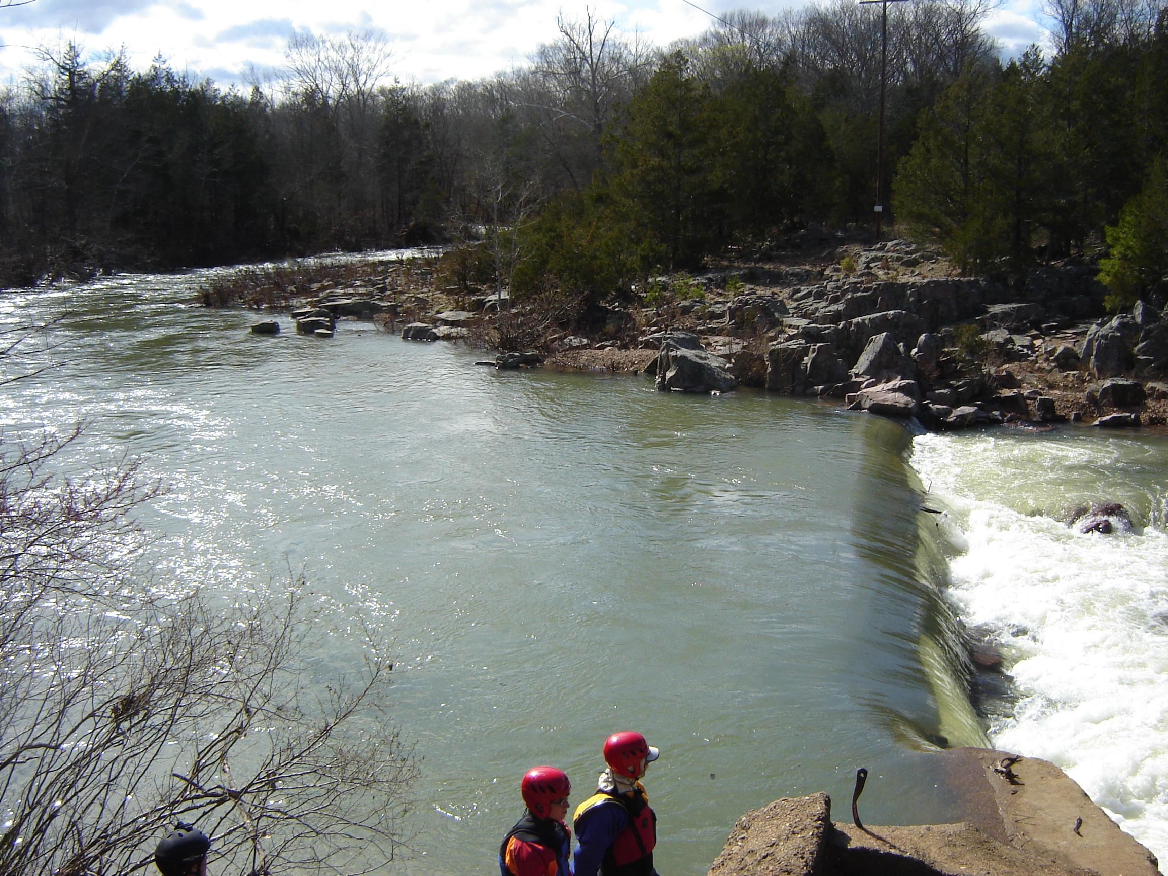
Johnsons Shut-Ins State Park
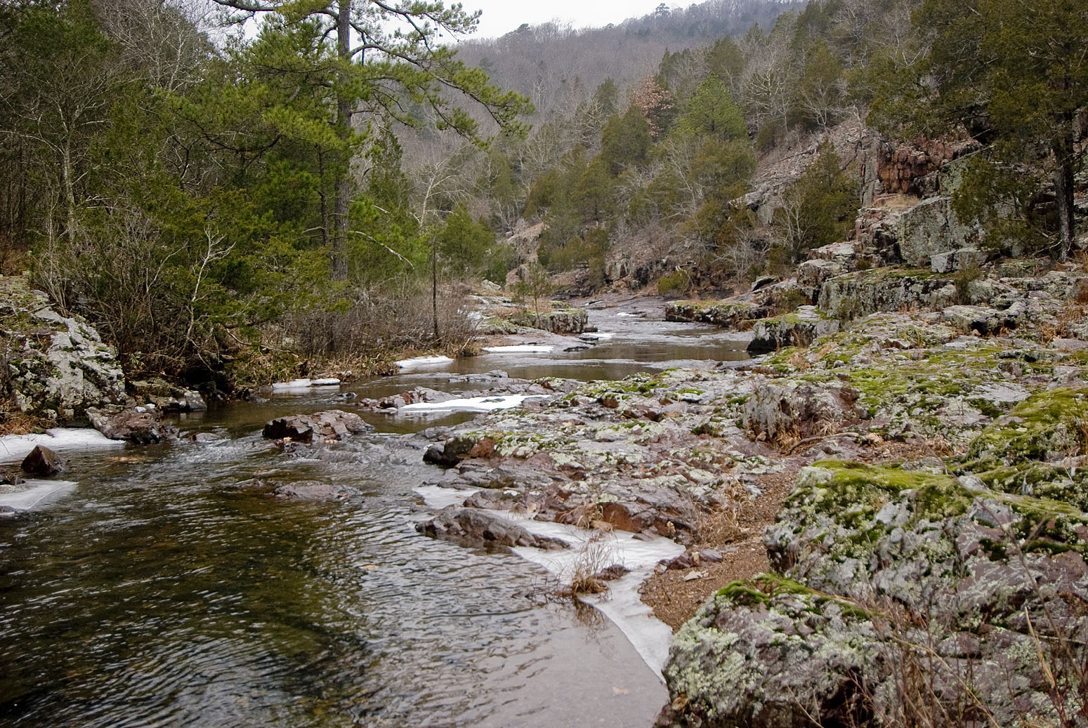
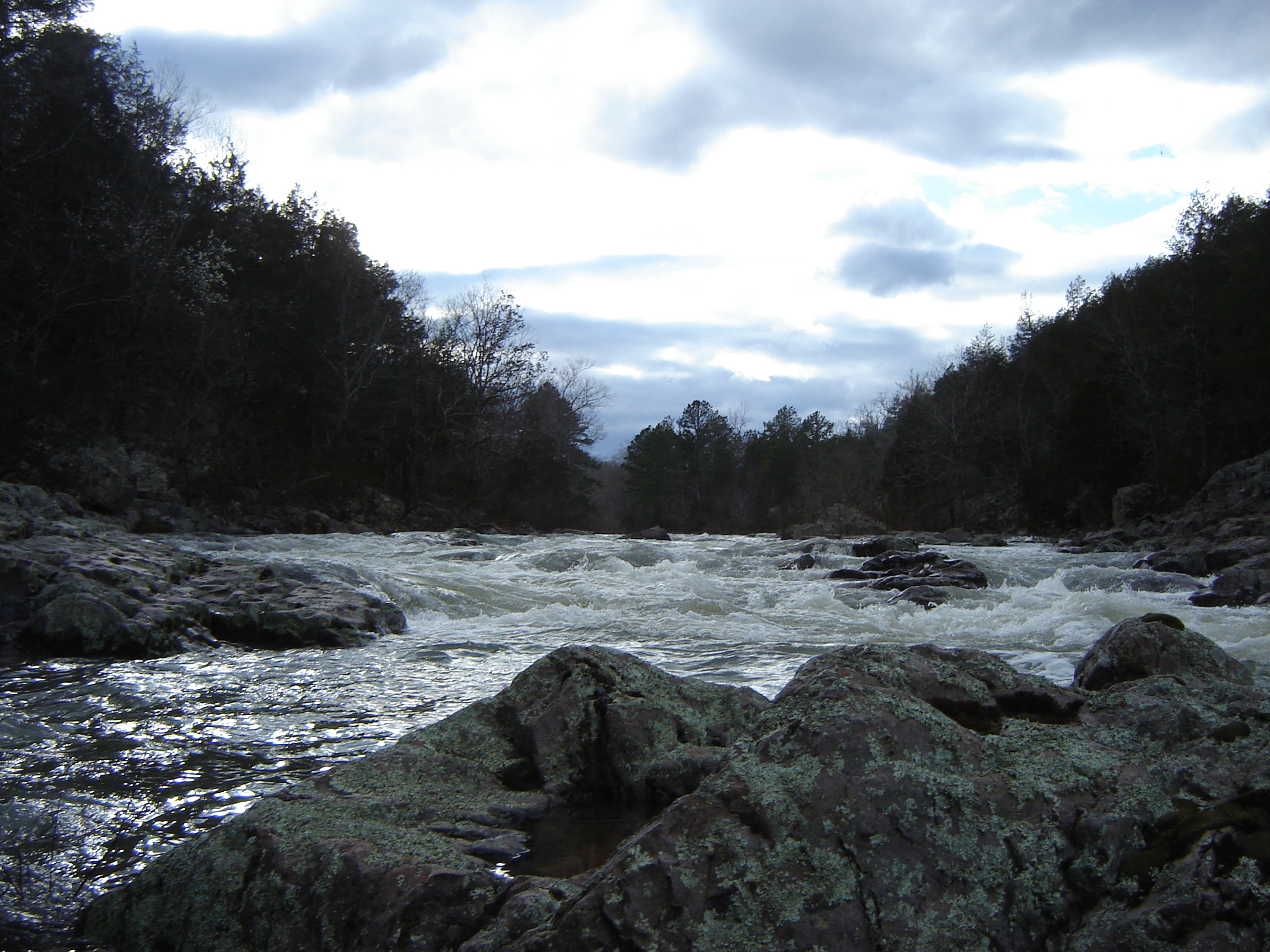
Lower Rock Creek Icy.jpg
DSC06659.JPG

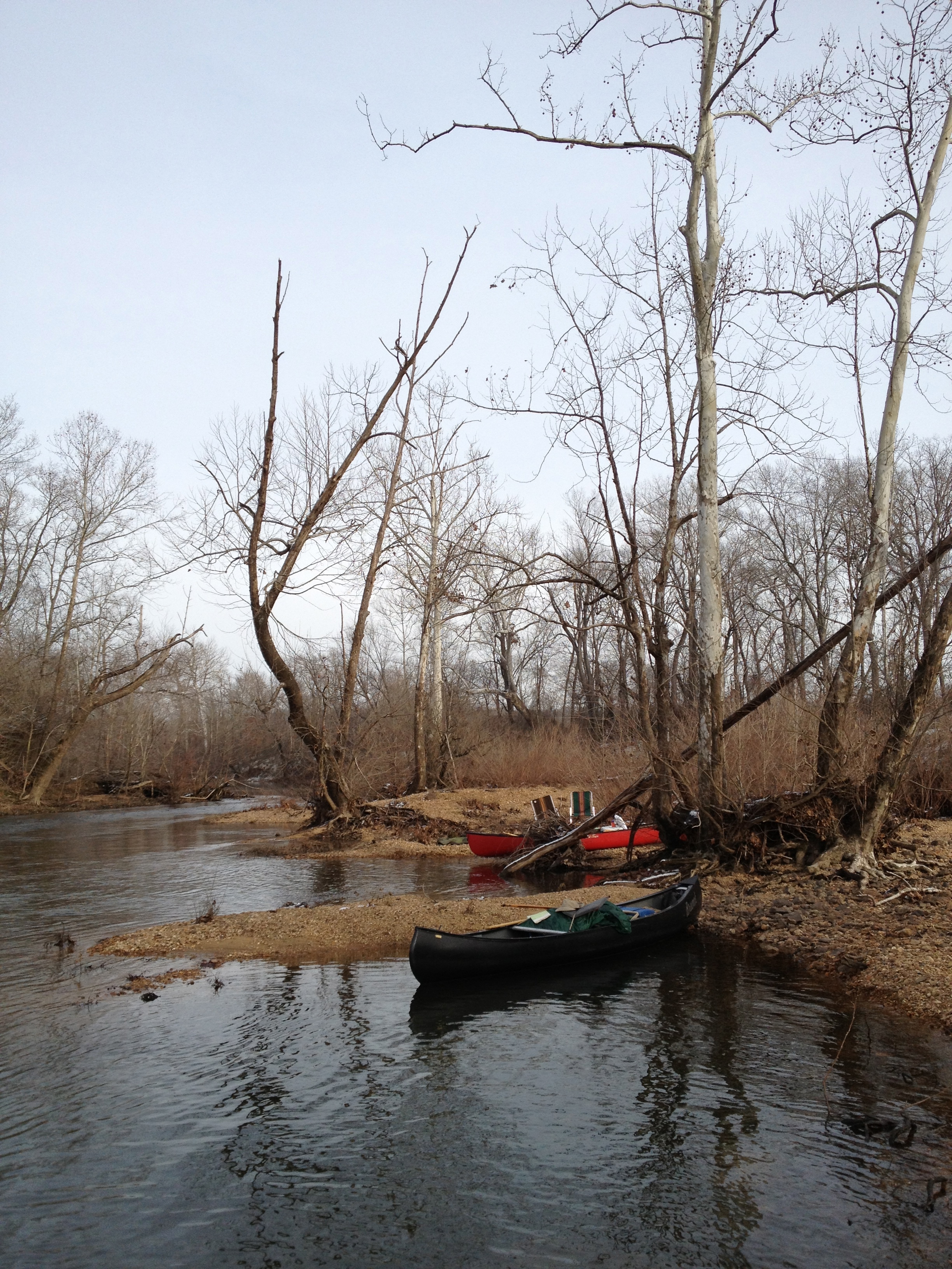
lots of memories here. I wanna go camping again soon
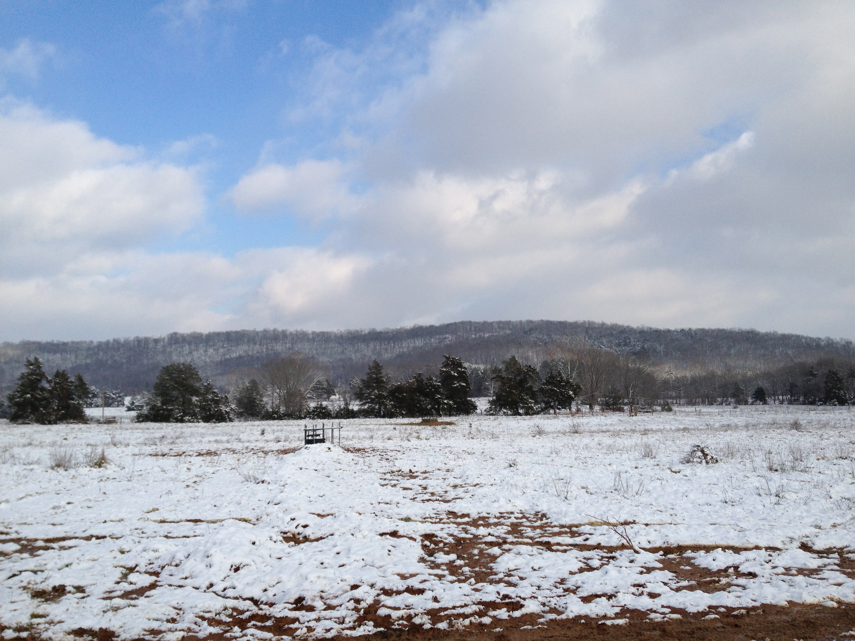
Brunot in the snow
Topographic Map of Liberty Township, MO, USA
Find elevation by address:

Places in Liberty Township, MO, USA:
Places near Liberty Township, MO, USA:
Co Rd, Annapolis, MO, USA
Union Township
US-67, Fredericktown, MO, USA
St. Francois Township
Co Rd, Fredericktown, MO, USA
Madison, Fredericktown, MO, USA
MO-49, Annapolis, MO, USA
Annapolis
Madison County
County Road 144
Patterson
2459 Wayne County 312
Cherokee Pass
Arcadia
Maple St, Arcadia, MO, USA
Ironton, MO, USA
Iron County
1649 Madison 504
Logan Township
St. Michael Township
Recent Searches:
- Elevation of Kreuzburger Weg 13, Düsseldorf, Germany
- Elevation of Gateway Blvd SE, Canton, OH, USA
- Elevation of East W.T. Harris Boulevard, E W.T. Harris Blvd, Charlotte, NC, USA
- Elevation of West Sugar Creek, Charlotte, NC, USA
- Elevation of Wayland, NY, USA
- Elevation of Steadfast Ct, Daphne, AL, USA
- Elevation of Lagasgasan, X+CQH, Tiaong, Quezon, Philippines
- Elevation of Rojo Ct, Atascadero, CA, USA
- Elevation of Flagstaff Drive, Flagstaff Dr, North Carolina, USA
- Elevation of Avery Ln, Lakeland, FL, USA