Elevation of Co Rd, Annapolis, MO, USA
Location: United States > Missouri > Madison County > Liberty Township >
Longitude: -90.468435
Latitude: 37.4165954
Elevation: 164m / 538feet
Barometric Pressure: 99KPa
Elevation Map:
Satellite Map:
Related Photos:

A New Day at Hand

Silver Mines 05-Fall

Graves Mountain Conservation Area, Missouri 02
DSC06696.JPG

New Year 2012/2013
DSC06691.JPG

DSC06697.JPG

Johnsons Shut-Ins State Park

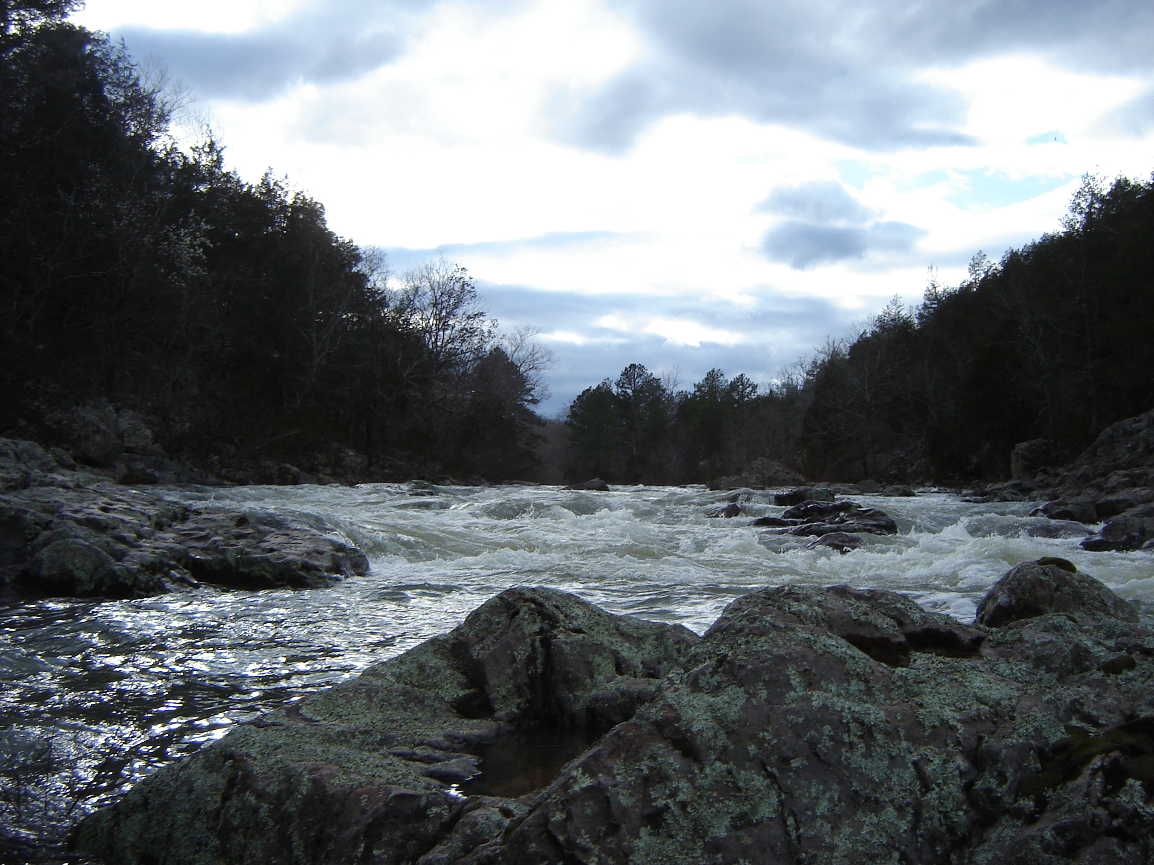
Silver Mines 03

Silver Mines Dam, Polk

Lower Rock Creek Icy.jpg

Silver Mines 02

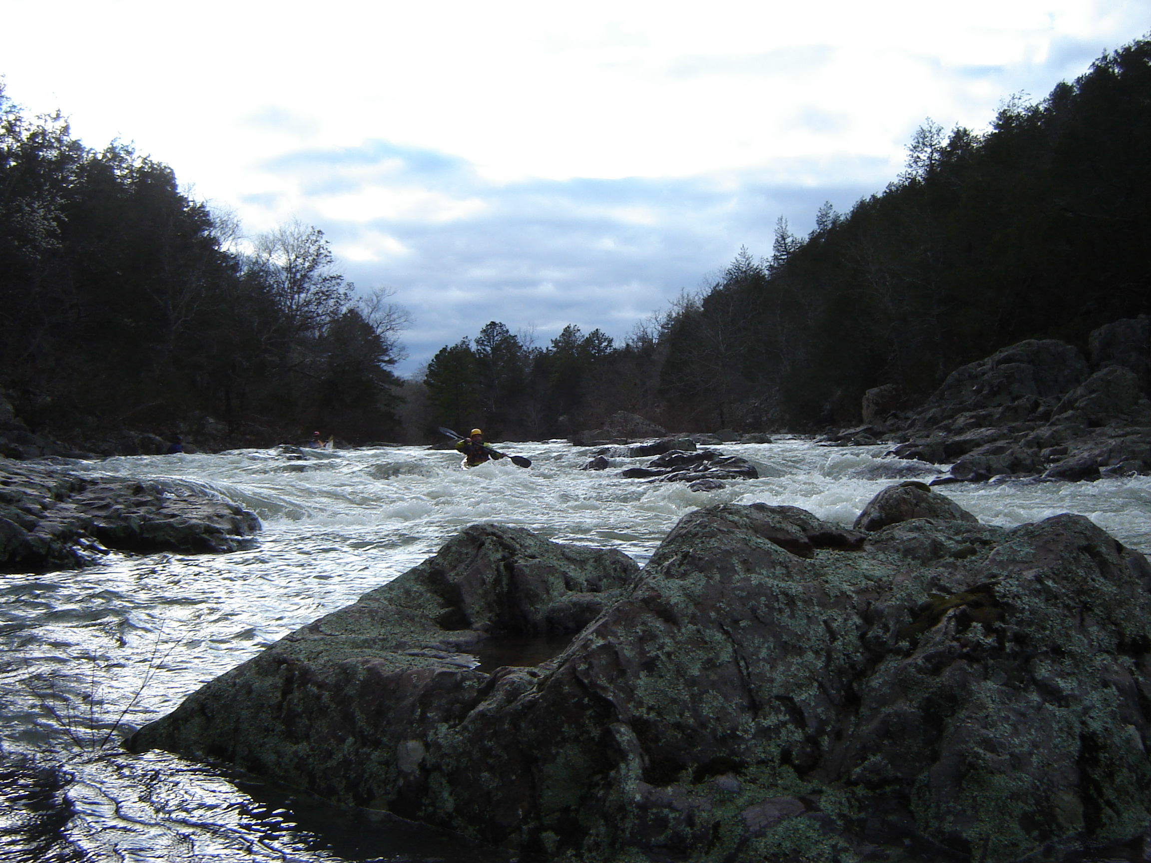
Silver Mines 04-Kayakers

DSC06659.JPG
Topographic Map of Co Rd, Annapolis, MO, USA
Find elevation by address:

Places near Co Rd, Annapolis, MO, USA:
Liberty Township
US-67, Fredericktown, MO, USA
St. Francois Township
Co Rd, Fredericktown, MO, USA
Madison, Fredericktown, MO, USA
Madison County
Cherokee Pass
Union Township
St. Michael Township
1649 Madison 504
110 S Main St
Fredericktown
E Main St, Fredericktown, MO, USA
MO-49, Annapolis, MO, USA
Ironton, MO, USA
Arcadia
MO-34, Silva, MO, USA
Maple St, Arcadia, MO, USA
Annapolis
Silva
Recent Searches:
- Elevation of Kreuzburger Weg 13, Düsseldorf, Germany
- Elevation of Gateway Blvd SE, Canton, OH, USA
- Elevation of East W.T. Harris Boulevard, E W.T. Harris Blvd, Charlotte, NC, USA
- Elevation of West Sugar Creek, Charlotte, NC, USA
- Elevation of Wayland, NY, USA
- Elevation of Steadfast Ct, Daphne, AL, USA
- Elevation of Lagasgasan, X+CQH, Tiaong, Quezon, Philippines
- Elevation of Rojo Ct, Atascadero, CA, USA
- Elevation of Flagstaff Drive, Flagstaff Dr, North Carolina, USA
- Elevation of Avery Ln, Lakeland, FL, USA