Elevation of Co Rd, Fredericktown, MO, USA
Location: United States > Missouri > Madison County > St. Francois Township >
Longitude: -90.373133
Latitude: 37.4951641
Elevation: 257m / 843feet
Barometric Pressure: 98KPa
Elevation Map:
Satellite Map:
Related Photos:

A Bench With a View

Mowear Autos
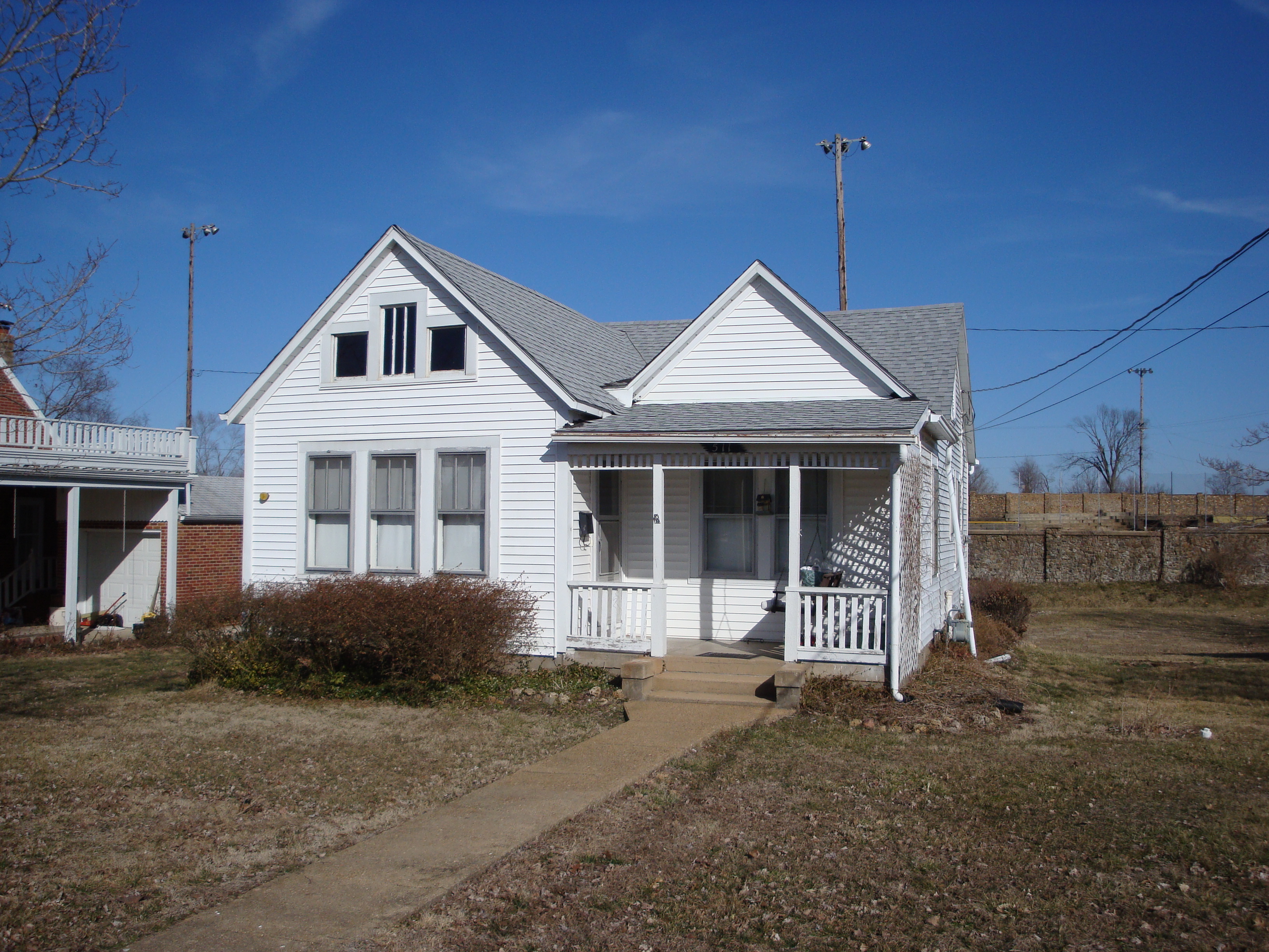
511 Marshall For Sale: Great Wall View, Good Sno-Cone Potential

Another view

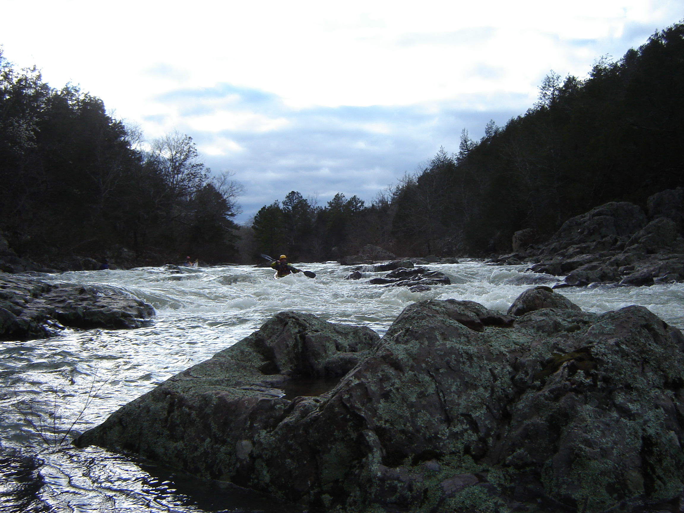
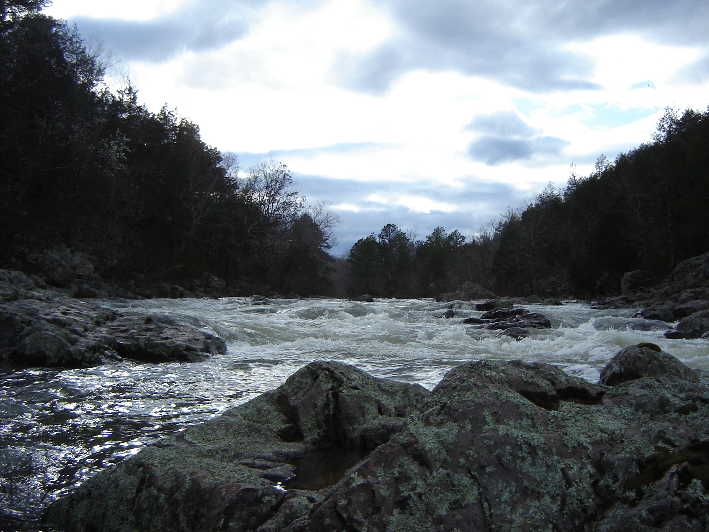
Silver Mines 05-Fall
DSC06696.JPG
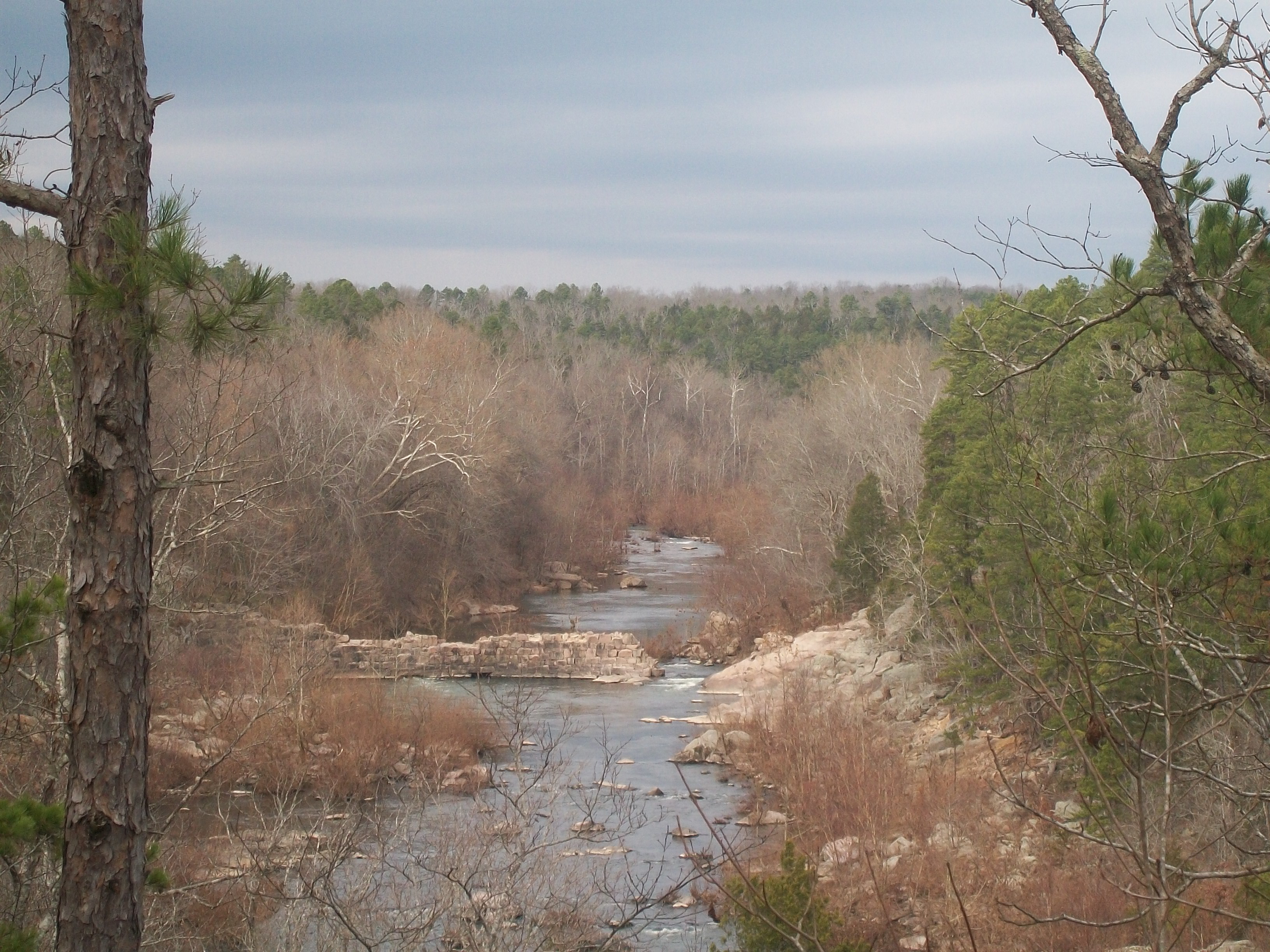
Silver Mines, Mark Twain National Forest
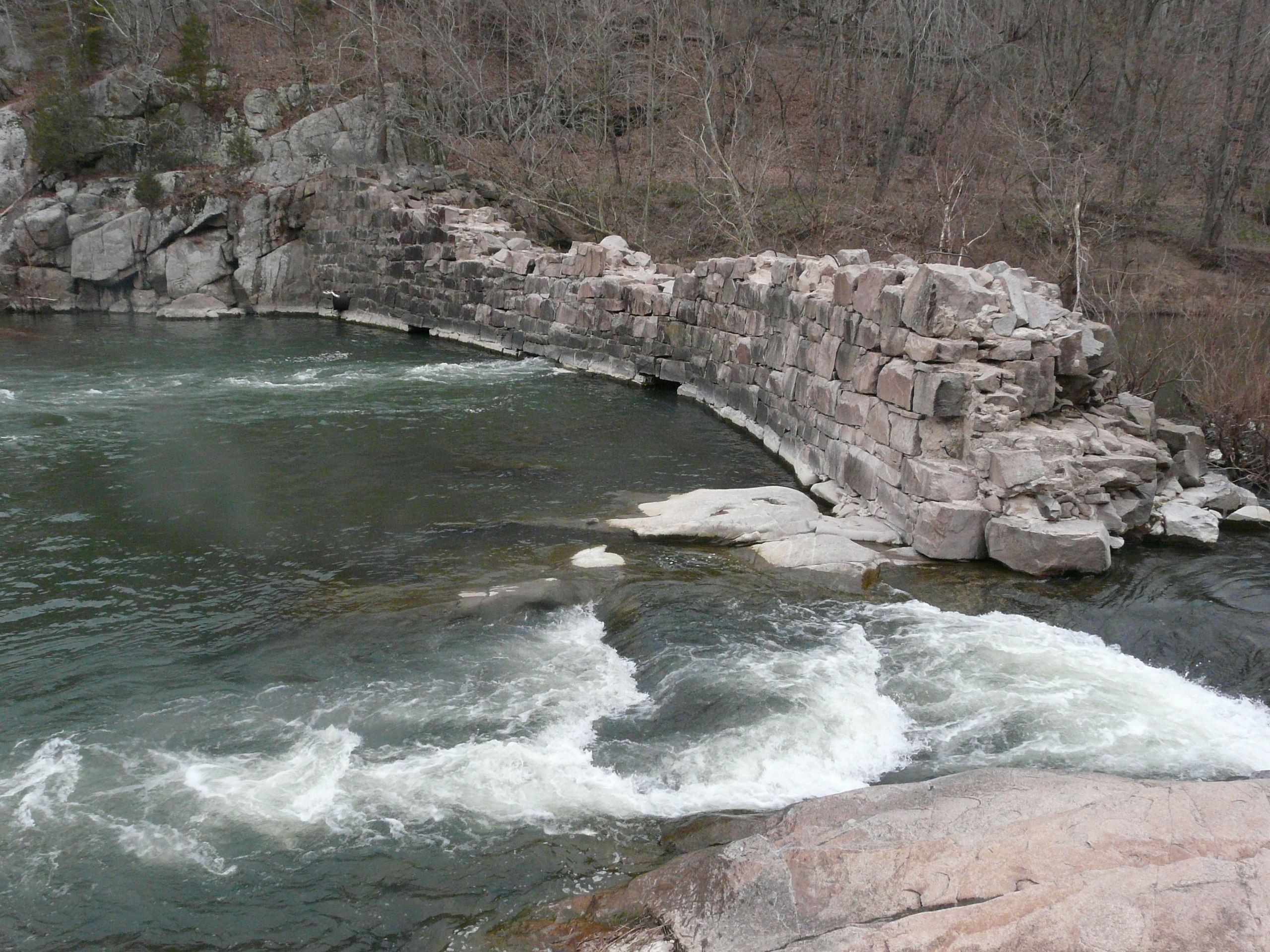
The dam
DSC06691.JPG

DSC06697.JPG

DSC05612.JPG
Topographic Map of Co Rd, Fredericktown, MO, USA
Find elevation by address:

Places near Co Rd, Fredericktown, MO, USA:
Madison, Fredericktown, MO, USA
St. Francois Township
Madison County
St. Michael Township
Cherokee Pass
1649 Madison 504
110 S Main St
Fredericktown
E Main St, Fredericktown, MO, USA
Village Creek Rd, Fredericktown, MO, USA
Co Rd, Annapolis, MO, USA
US-67, Fredericktown, MO, USA
Liberty Township
Stevens Branch
Marquand
Ironton, MO, USA
Arcadia
Ironton
Maple St, Arcadia, MO, USA
Doe Run
Recent Searches:
- Elevation of Corso Fratelli Cairoli, 35, Macerata MC, Italy
- Elevation of Tallevast Rd, Sarasota, FL, USA
- Elevation of 4th St E, Sonoma, CA, USA
- Elevation of Black Hollow Rd, Pennsdale, PA, USA
- Elevation of Oakland Ave, Williamsport, PA, USA
- Elevation of Pedrógão Grande, Portugal
- Elevation of Klee Dr, Martinsburg, WV, USA
- Elevation of Via Roma, Pieranica CR, Italy
- Elevation of Tavkvetili Mountain, Georgia
- Elevation of Hartfords Bluff Cir, Mt Pleasant, SC, USA