Elevation of Louisiana 16, LA-16, Louisiana, USA
Location: United States > Louisiana > Tangipahoa Parish > >
Longitude: -90.470740
Latitude: 30.7295586
Elevation: 40m / 131feet
Barometric Pressure: 101KPa
Elevation Map:
Satellite Map:
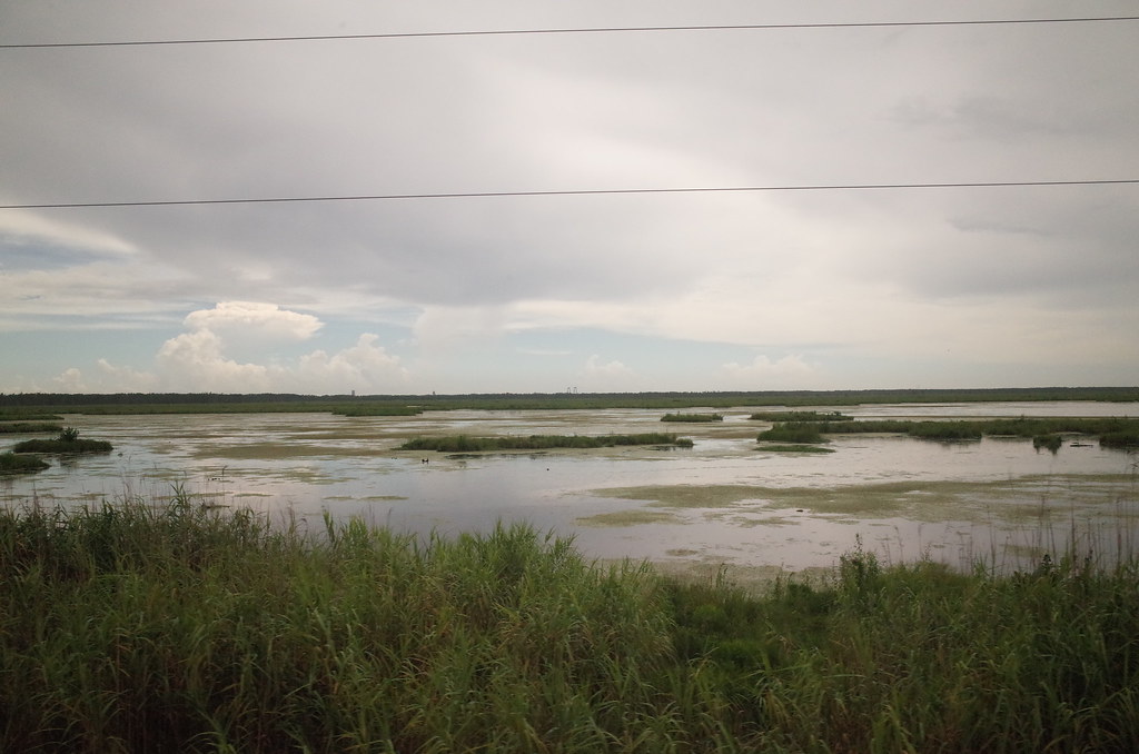
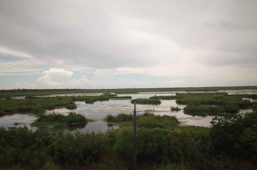
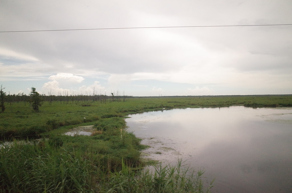
Related Photos:

So Close, Yet So Far

RI038547.JPG

RI038543.JPG
RI038556.JPG
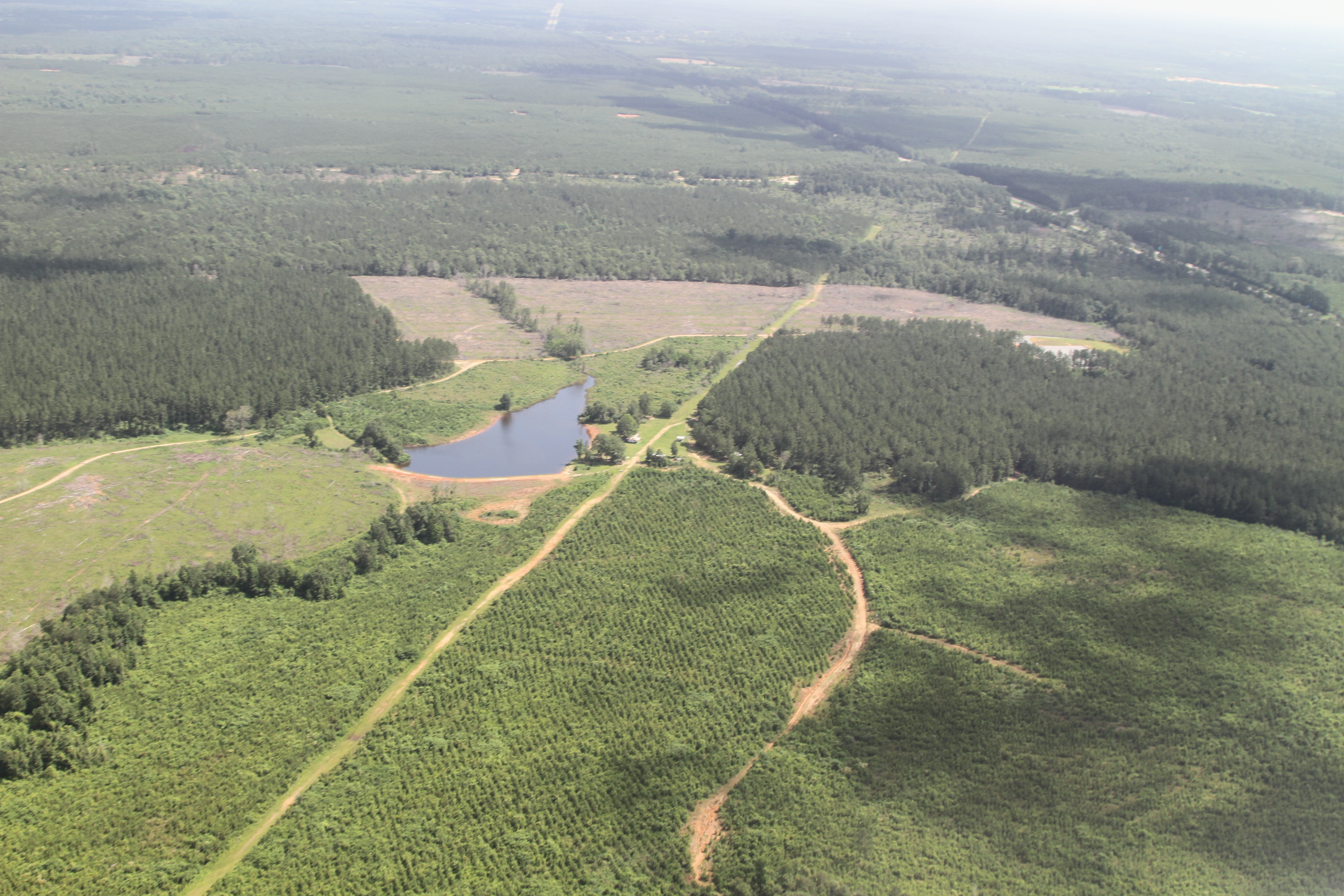
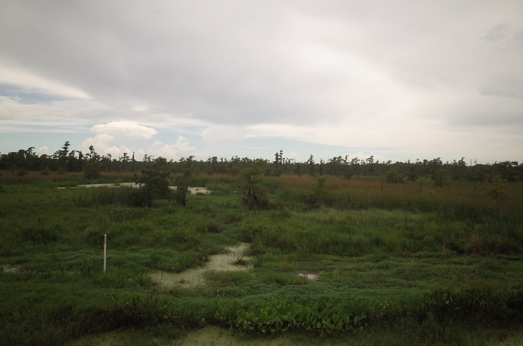
a farmer's pond turned to fracking
RI038557.JPG
RI038558.JPG
RI038560.JPG

IMG_3078 tangipahoa
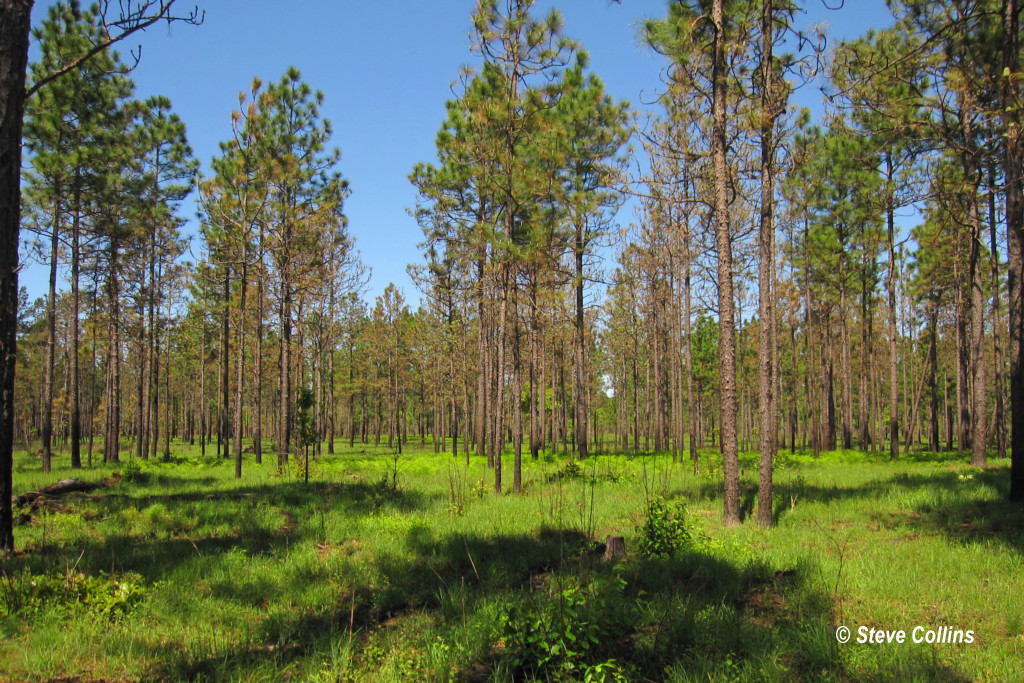
I ♥ Longleaf Flatwoods

RI038563.JPG

Louisiana morning
Topographic Map of Louisiana 16, LA-16, Louisiana, USA
Find elevation by address:

Places near Louisiana 16, LA-16, Louisiana, USA:
Louisiana 16
Amite High School
Amite City
809 Ash St
Chappapeela Baptist Church
60154 Bennett Rd
60154 Bennett Rd
60154 Bennett Rd
60154 Bennett Rd
60154 Bennett Rd
61296 Bennett Rd
55386 Mandella Rd
19075 Cory Rd
19119 Cory Rd
3, LA, USA
10041 La-1045
4, LA, USA
211 Calhoun St
Independence
LA-16, Amite City, LA, USA
Recent Searches:
- Elevation of Bydgoszcz, Poland
- Elevation of Bydgoszcz, Poland
- Elevation of Calais Dr, Del Mar, CA, USA
- Elevation of Placer Mine Ln, West Jordan, UT, USA
- Elevation of E 63rd St, New York, NY, USA
- Elevation of Elk City, OK, USA
- Elevation of Erika Dr, Windsor, CA, USA
- Elevation of Village Ln, Finleyville, PA, USA
- Elevation of 24 Oakland Rd #, Scotland, ON N0E 1R0, Canada
- Elevation of Deep Gap Farm Rd E, Mill Spring, NC, USA