Elevation of Amite City, LA, USA
Location: United States > Louisiana > Tangipahoa Parish > >
Longitude: -90.508981
Latitude: 30.7265747
Elevation: 35m / 115feet
Barometric Pressure: 101KPa
Elevation Map:
Satellite Map:
Related Photos:

So Close, Yet So Far
RI038547.JPG
RI038543.JPG
RI038556.JPG
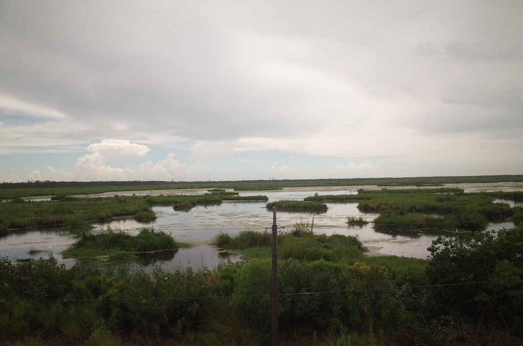
a farmer's pond turned to fracking
RI038557.JPG
RI038558.JPG
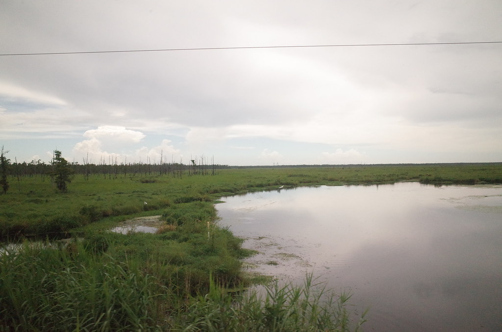
RI038560.JPG

IMG_3078 tangipahoa
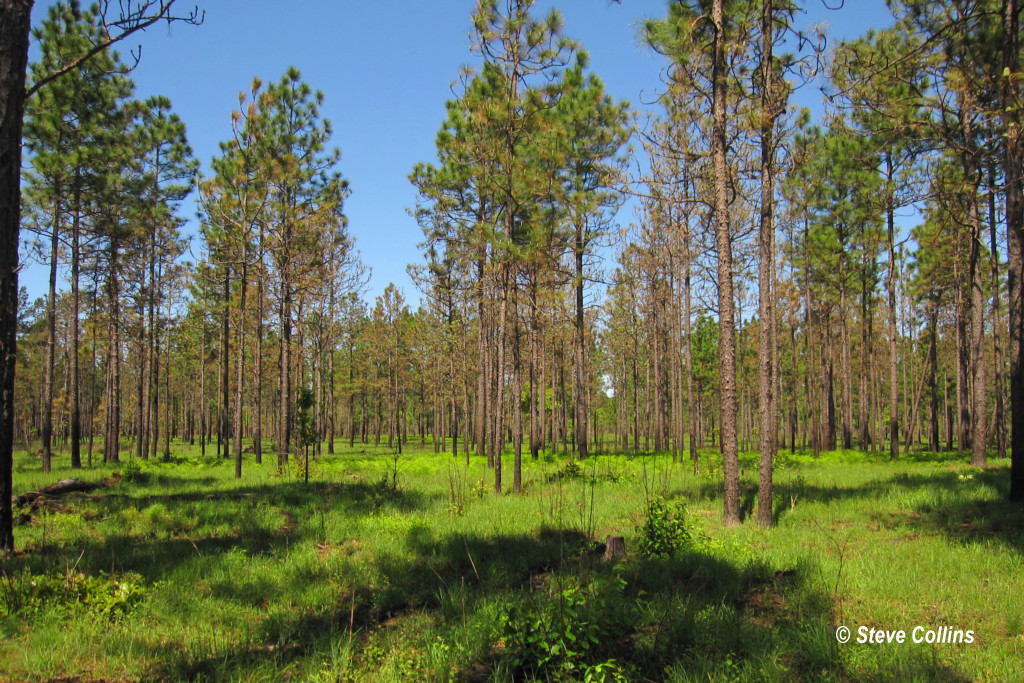
I ♥ Longleaf Flatwoods

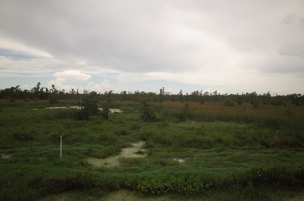
RI038563.JPG

Louisiana morning
Topographic Map of Amite City, LA, USA
Find elevation by address:

Places in Amite City, LA, USA:
Places near Amite City, LA, USA:
Amite High School
809 Ash St
60154 Bennett Rd
60154 Bennett Rd
60154 Bennett Rd
60154 Bennett Rd
60154 Bennett Rd
61296 Bennett Rd
Louisiana 16
Louisiana 16
3, LA, USA
10041 La-1045
55386 Mandella Rd
Opal Bennett Road
Leonard Chapel Road
Independence
211 Calhoun St
Chappapeela Baptist Church
Jones Road
5, LA, USA
Recent Searches:
- Elevation of Sadovaya Ulitsa, 20, Rezh, Sverdlovskaya oblast', Russia
- Elevation of Ulitsa Kalinina, 79, Rezh, Sverdlovskaya oblast', Russia
- Elevation of 72-31 Metropolitan Ave, Middle Village, NY, USA
- Elevation of 76 Metropolitan Ave, Brooklyn, NY, USA
- Elevation of Alisal Rd, Solvang, CA, USA
- Elevation of Vista Blvd, Sparks, NV, USA
- Elevation of 15th Ave SE, St. Petersburg, FL, USA
- Elevation of Beall Road, Beall Rd, Florida, USA
- Elevation of Leguwa, Nepal
- Elevation of County Rd, Enterprise, AL, USA