Elevation of Independence, LA, USA
Location: United States > Louisiana > Tangipahoa Parish >
Longitude: -90.500924
Latitude: 30.635466
Elevation: 26m / 85feet
Barometric Pressure: 101KPa
Elevation Map:
Satellite Map:
Related Photos:

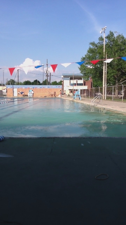
The View from a Stool
Room with a View
So Close, Yet So Far
Hammond Depot

my view, #golions #lionup #football #college

View of BUS US 51 at US 90 from Kirin Restaurant

Cloudy Sky

Golden Dragonfly

Colors of Morning

Sun Waking

Purple Flowers

Sunburst II

Morning Glow

Jupiter Rises
Camera Roll-3

Morning Clouds

Purple Sky

Morning Sky
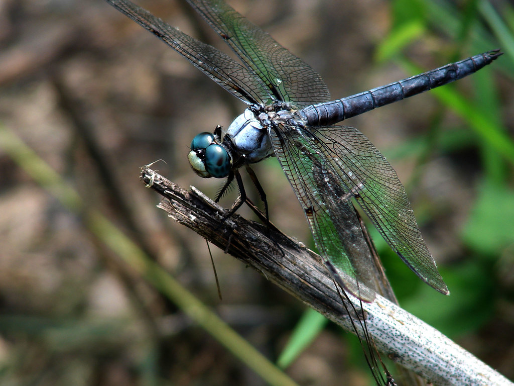
Blue Eyed Dragonfly

Colorful Morning Clouds

IMG_3078 tangipahoa

Camera Roll-4
Camera Roll-5

More Purple Flowers
Topographic Map of Independence, LA, USA
Find elevation by address:

Places near Independence, LA, USA:
211 Calhoun St
55386 Mandella Rd
12583 Kinchen Ln
10518 Richardson Rd
3, LA, USA
4, LA, USA
10148 Richardson Rd
Jones Road
18419 Acadiana Pl
52176 Ridgecrest Dr
Amite High School
Leonard Chapel Road
Amite City
Louisiana 16
Louisiana 16
Loranger High School
60154 Bennett Rd
60154 Bennett Rd
60154 Bennett Rd
60154 Bennett Rd
Recent Searches:
- Elevation of Power Generation Enterprises | Industrial Diesel Generators, Oak Ave, Canyon Country, CA, USA
- Elevation of Chesaw Rd, Oroville, WA, USA
- Elevation of N, Mt Pleasant, UT, USA
- Elevation of 6 Rue Jules Ferry, Beausoleil, France
- Elevation of Sattva Horizon, 4JC6+G9P, Vinayak Nagar, Kattigenahalli, Bengaluru, Karnataka, India
- Elevation of Great Brook Sports, Gold Star Hwy, Groton, CT, USA
- Elevation of 10 Mountain Laurels Dr, Nashua, NH, USA
- Elevation of 16 Gilboa Ln, Nashua, NH, USA
- Elevation of Laurel Rd, Townsend, TN, USA
- Elevation of 3 Nestling Wood Dr, Long Valley, NJ, USA