Elevation of Ash St, Amite City, LA, USA
Location: United States > Louisiana > Tangipahoa Parish > > Amite City >
Longitude: -90.513406
Latitude: 30.7365616
Elevation: -10000m / -32808feet
Barometric Pressure: 295KPa
Elevation Map:
Satellite Map:
Related Photos:

So Close, Yet So Far

IMG_3078 tangipahoa

Henslow's Sparrow (Ammodramus henslowii)

Tickfaw River

RI038547.JPG

RI038543.JPG

RI038556.JPG

Scenic Tangipahoa River

RI038560.JPG

a farmer's pond turned to fracking

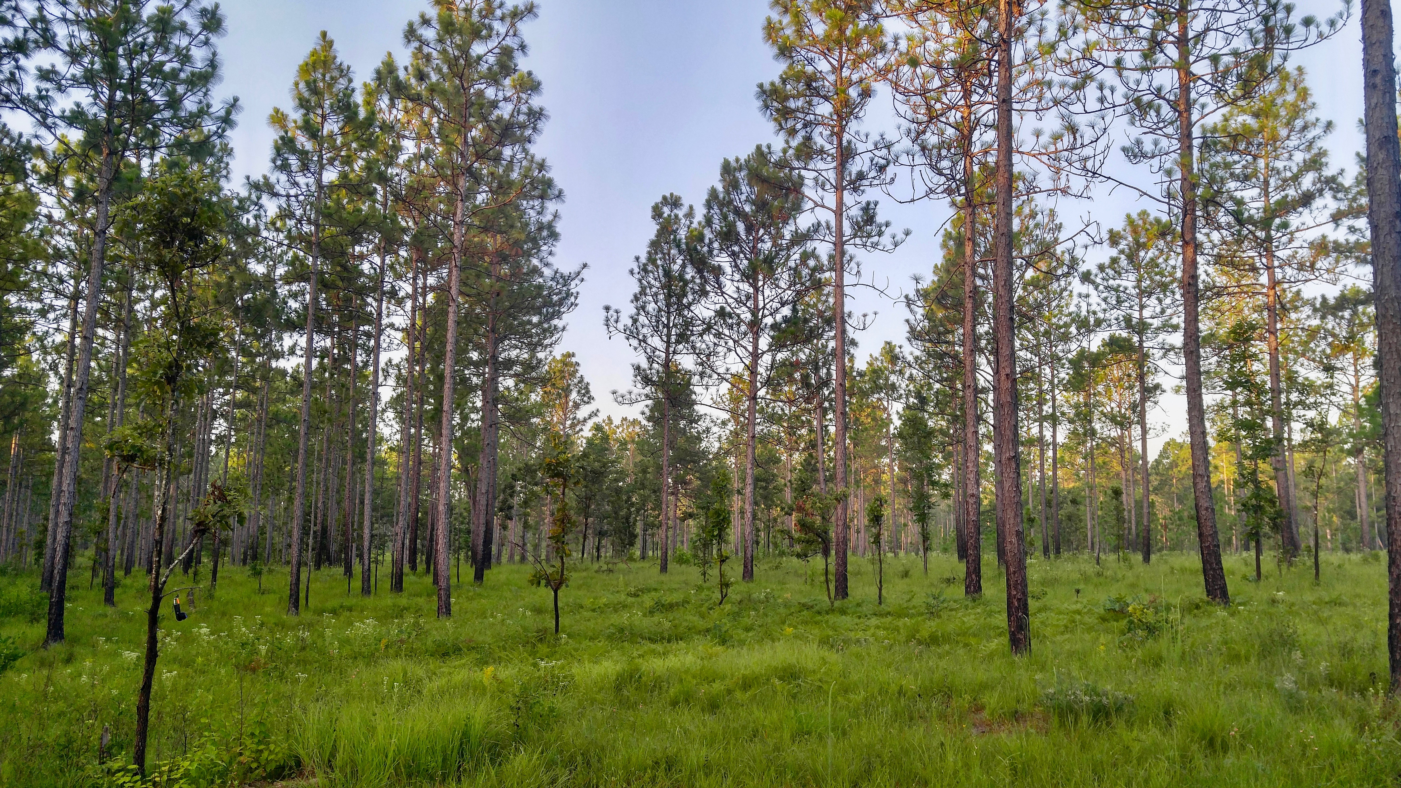
I ♥ Longleaf Flatwoods

RI038563.JPG
Sandy Hollow WMA

Louisiana morning
Topographic Map of Ash St, Amite City, LA, USA
Find elevation by address:

Places near Ash St, Amite City, LA, USA:
Amite City
Amite High School
60154 Bennett Rd
60154 Bennett Rd
60154 Bennett Rd
60154 Bennett Rd
60154 Bennett Rd
61296 Bennett Rd
Louisiana 16
Louisiana 16
10041 La-1045
3, LA, USA
55386 Mandella Rd
Opal Bennett Road
Leonard Chapel Road
Chappapeela Baptist Church
5, LA, USA
Independence
211 Calhoun St
Jones Road
Recent Searches:
- Elevation of 72-31 Metropolitan Ave, Middle Village, NY, USA
- Elevation of 76 Metropolitan Ave, Brooklyn, NY, USA
- Elevation of Alisal Rd, Solvang, CA, USA
- Elevation of Vista Blvd, Sparks, NV, USA
- Elevation of 15th Ave SE, St. Petersburg, FL, USA
- Elevation of Beall Road, Beall Rd, Florida, USA
- Elevation of Leguwa, Nepal
- Elevation of County Rd, Enterprise, AL, USA
- Elevation of Kolchuginsky District, Vladimir Oblast, Russia
- Elevation of Shustino, Vladimir Oblast, Russia