Elevation of Little Mountain Cir, Rocky Mount, VA, USA
Location: United States > Virginia > Franklin County > Blackwater > Rocky Mount >
Longitude: -79.931796
Latitude: 37.0754499
Elevation: 375m / 1230feet
Barometric Pressure: 97KPa
Elevation Map:
Satellite Map:
Related Photos:

Blue Ridge Parkway
Summer Corn

Dappled Lane

2016 02-12 1612 NS AC44C6M-4000, 4001 S/B 746 at Rocky Mount, VA

2016 02-12 1422.6 NS AC44C6M-4000, 4001 S/B 746 at Wirtz, VA

2016 02-12 1552 NS AC44C6M-4000, 4001 S/B 746 at Rocky Mount, VA

2016 02-12 1421 NS AC44C6M-4000, 4001 S/B 746 at Wirtz, VA

2016 02-12 1552.8 NS AC44C6M-4000, 4001 S/B 746 at Rocky Mount, VA

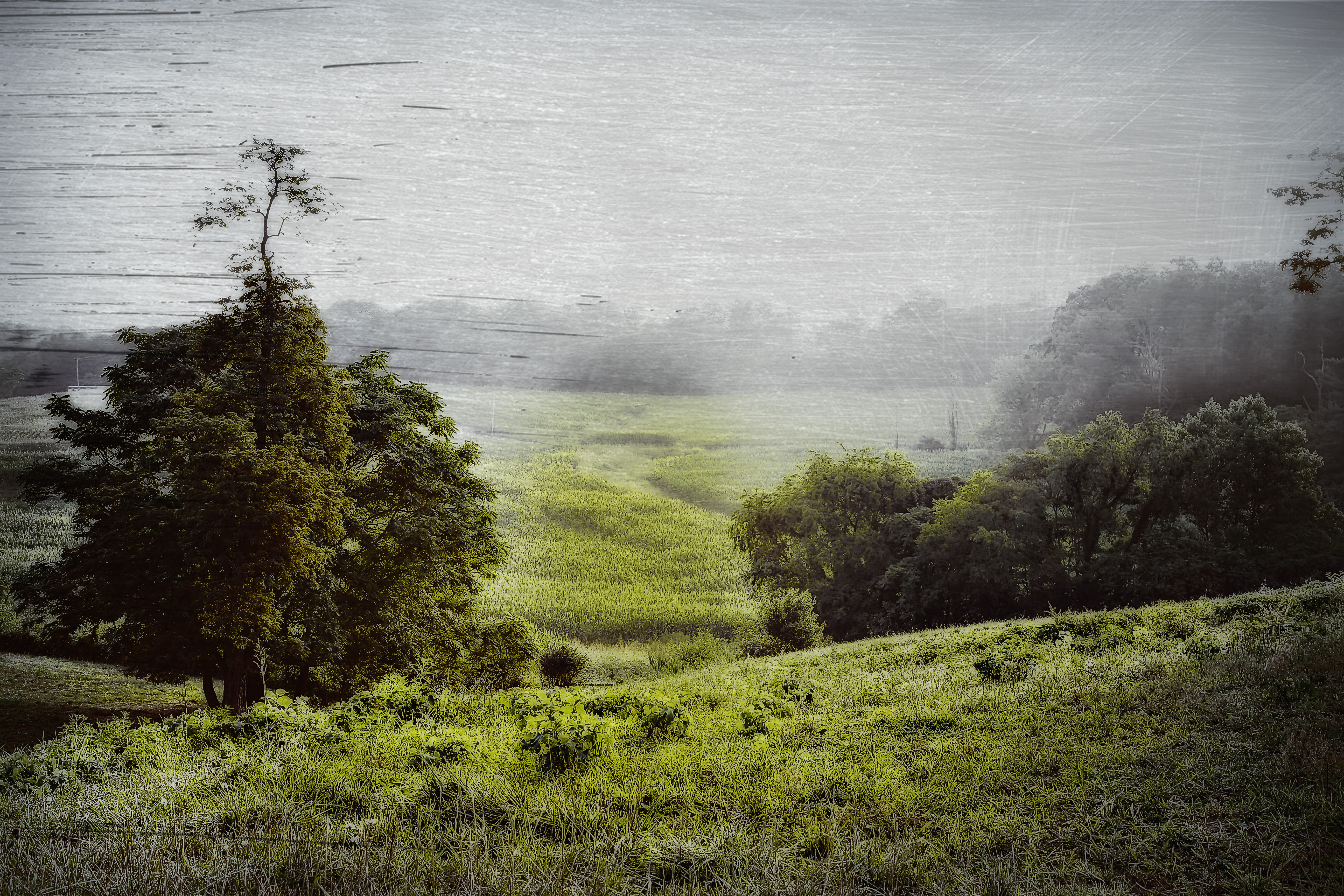
Franklin County Pasture

2016 02-12 1438.3 NS SD70ACe-1117 N/B 759 at Rocky Mount, VA
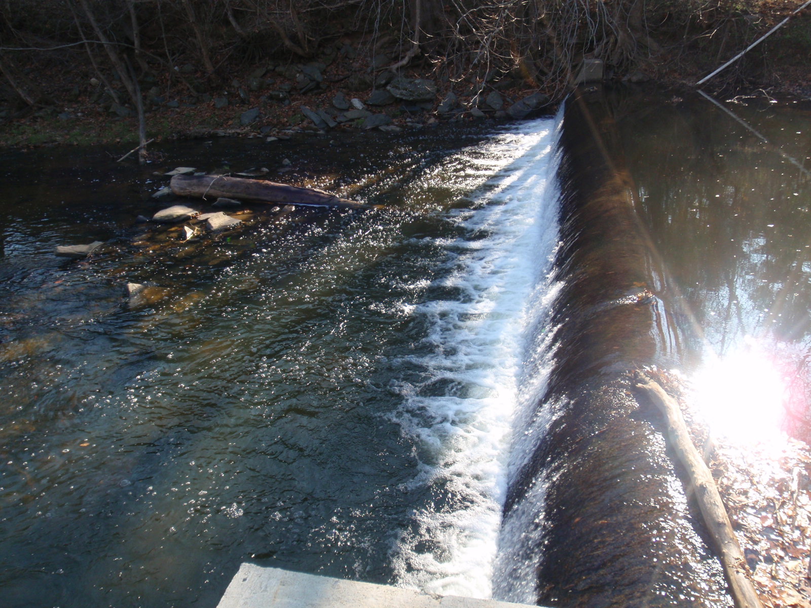
Close-up View of Veterans Memorial Park Dam

Looking Upstream at Veterans Memorial Park Dam

Veterans Memorial Park Dam

Side view of new elevator button

Blue Ridge Parkway

Outhouse Behind Mountain View Service Station

View in Rocky Mount

Looking east

Plan Ahea.

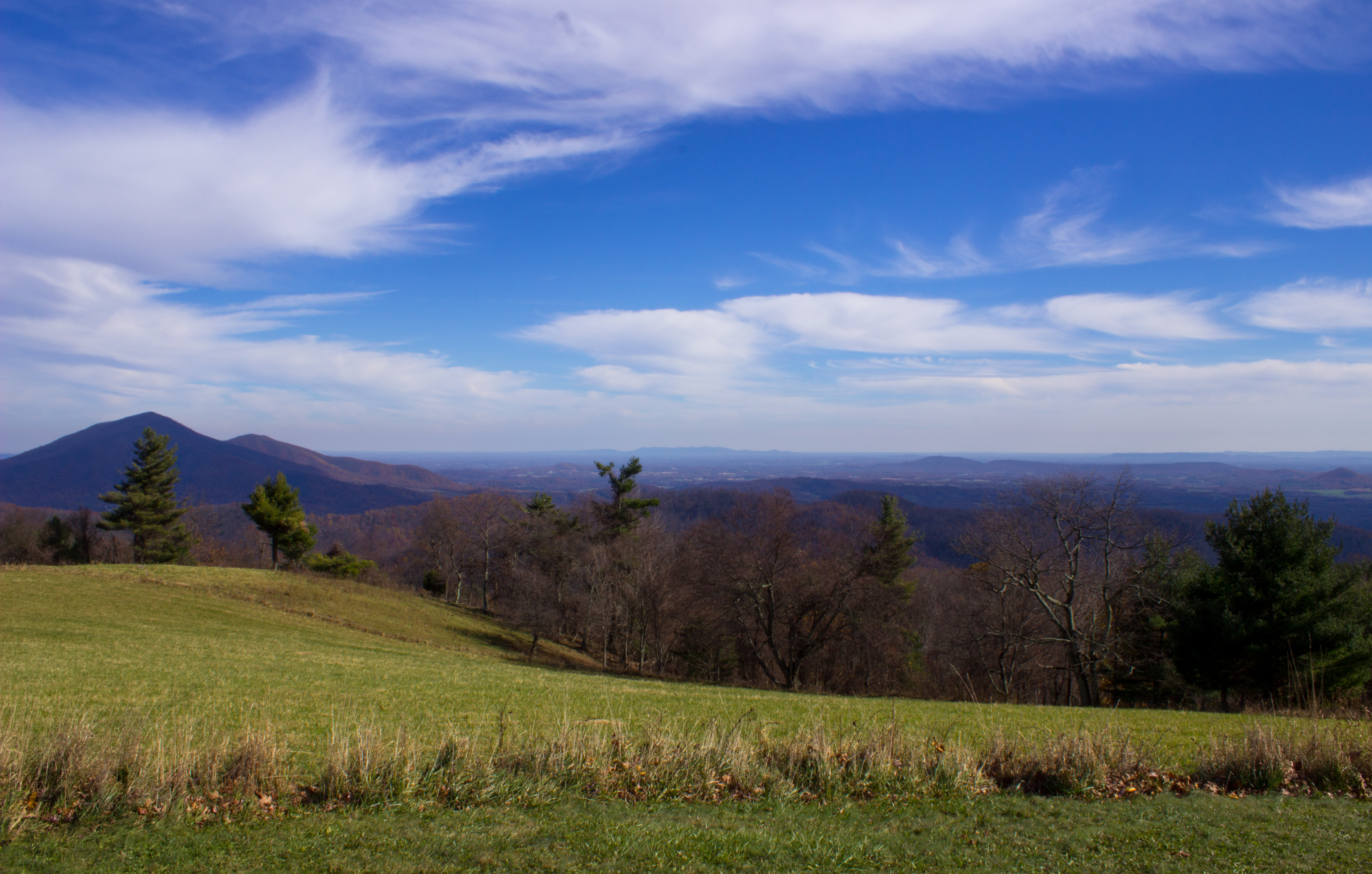
View Cahas Mountain Overlook

view from roanoke mountain in the fall

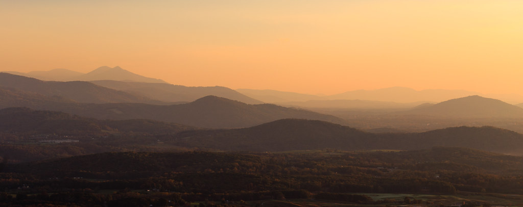
Cahas Sunrise

Cahas Sunrise

Smith Mountain Lake

Farm House in December
Blue Ridge Parkway Sky

Day 223 -- Foggy top

Roanoke Mountain view after storm

Roanoke Mountain view after storm

Roanoke Mountain view after storm pano
Blue Ridge

Pigg River Power Dam

Callaway Village

Fall Comes To The Valley

Pigg River Power Dam

Milky Way Sonic Clear

Power Dam intial notching Day 1
Topographic Map of Little Mountain Cir, Rocky Mount, VA, USA
Find elevation by address:

Places near Little Mountain Cir, Rocky Mount, VA, USA:
1349 Brick Church Rd
Wirtz
Callaway Rd, Rocky Mt, VA, USA
2326 Callaway Rd
124 Vintage Cir
6 Scenic Dr
270 Parkside Ln
17385 Virgil H Goode Hwy
Hickman Rd, Rocky Mt, VA, USA
875 Riverbend Dr
Altice Mill Road
Rocky Mount
1139 Calico Rock Rd
210 Hillcrest Dr
385 Knollwood Dr
280 Grahams Dr
Rocky Mount
Blackwater
778 Holland Rd
884 Isolane Rd
Recent Searches:
- Elevation of Groblershoop, South Africa
- Elevation of Power Generation Enterprises | Industrial Diesel Generators, Oak Ave, Canyon Country, CA, USA
- Elevation of Chesaw Rd, Oroville, WA, USA
- Elevation of N, Mt Pleasant, UT, USA
- Elevation of 6 Rue Jules Ferry, Beausoleil, France
- Elevation of Sattva Horizon, 4JC6+G9P, Vinayak Nagar, Kattigenahalli, Bengaluru, Karnataka, India
- Elevation of Great Brook Sports, Gold Star Hwy, Groton, CT, USA
- Elevation of 10 Mountain Laurels Dr, Nashua, NH, USA
- Elevation of 16 Gilboa Ln, Nashua, NH, USA
- Elevation of Laurel Rd, Townsend, TN, USA