Elevation of Blackwater, VA, USA
Location: United States > Virginia > Franklin County >
Longitude: -80.031136
Latitude: 37.0268789
Elevation: 380m / 1247feet
Barometric Pressure: 97KPa
Elevation Map:
Satellite Map:
Related Photos:
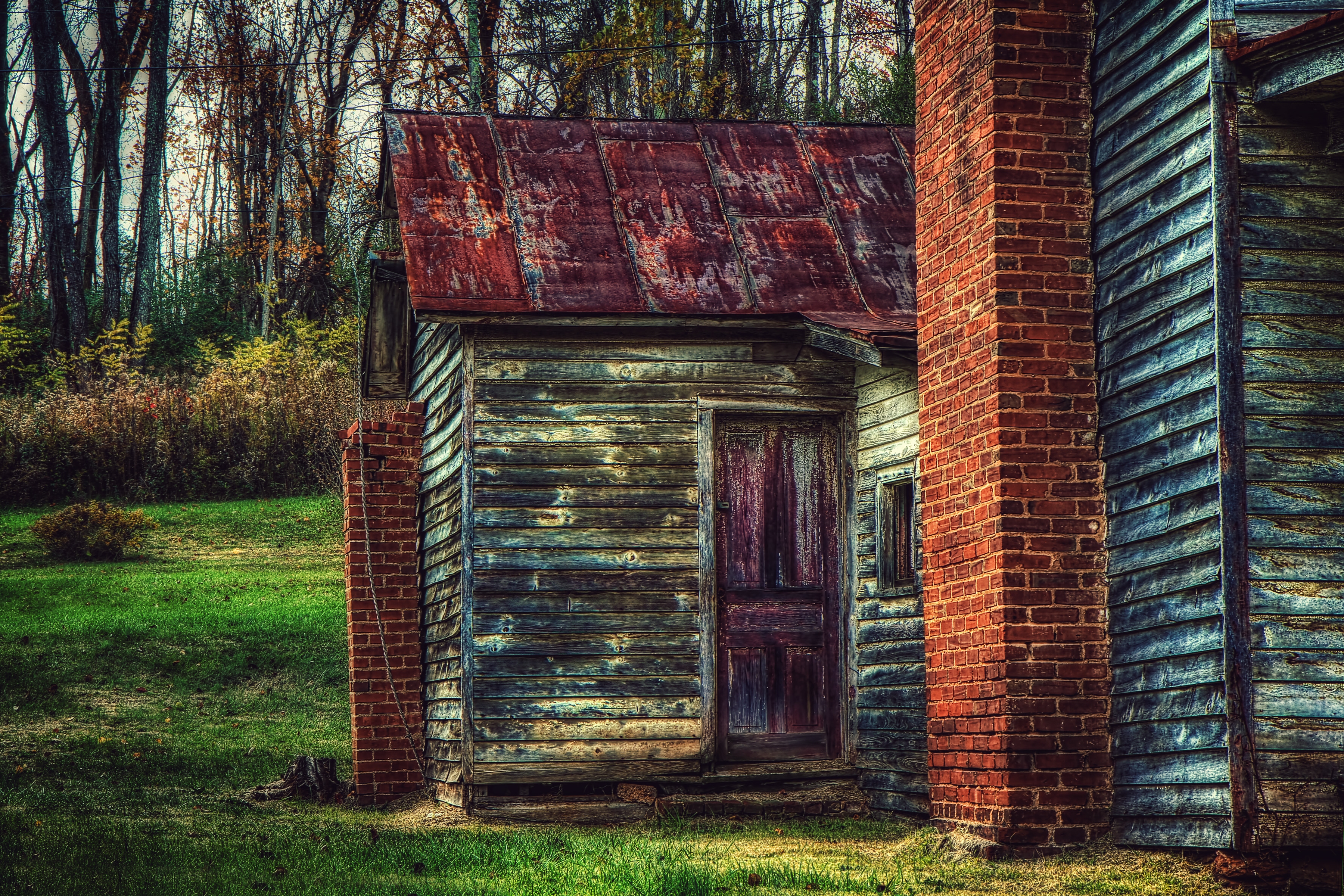
The Back Door
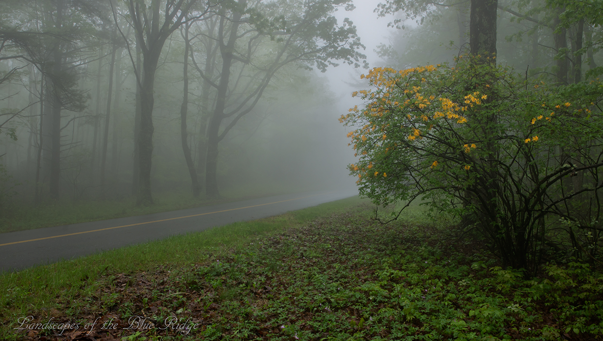
Flame in the Fog
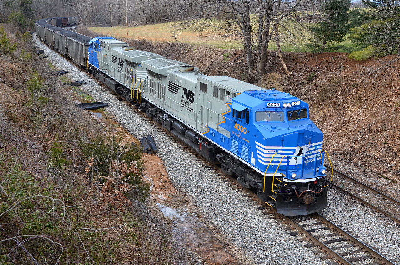
2016 02-12 1422.6 NS AC44C6M-4000, 4001 S/B 746 at Wirtz, VA
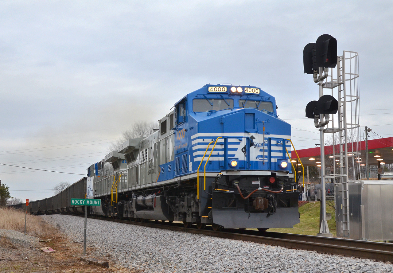
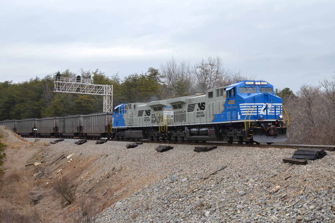
2016 02-12 1612 NS AC44C6M-4000, 4001 S/B 746 at Rocky Mount, VA

Summer Corn
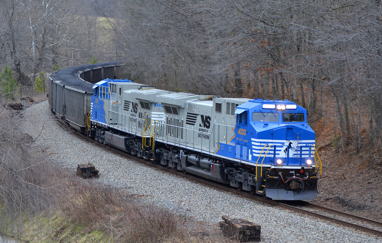
2016 02-12 1637 NS AC44C6M-4000, 4001 S/B 746 at Ferrum, VA
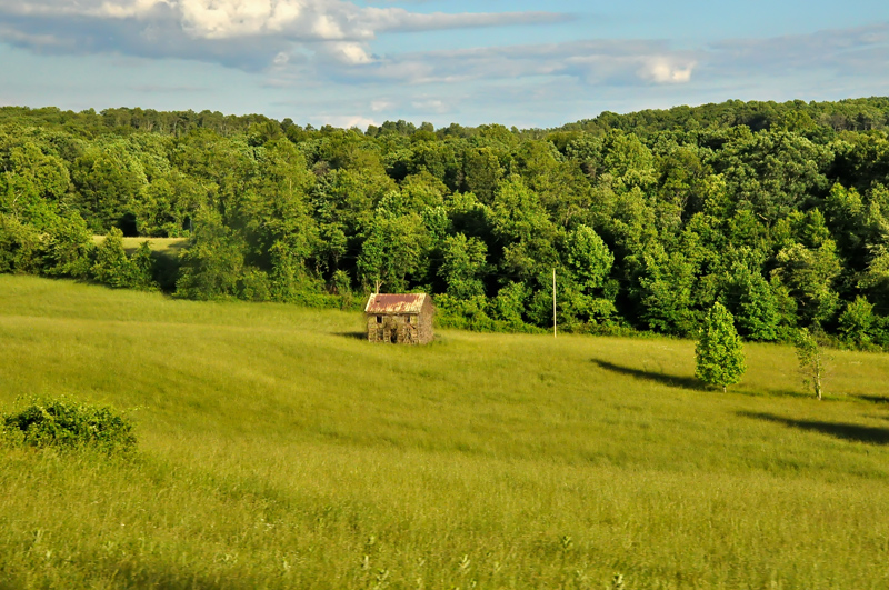
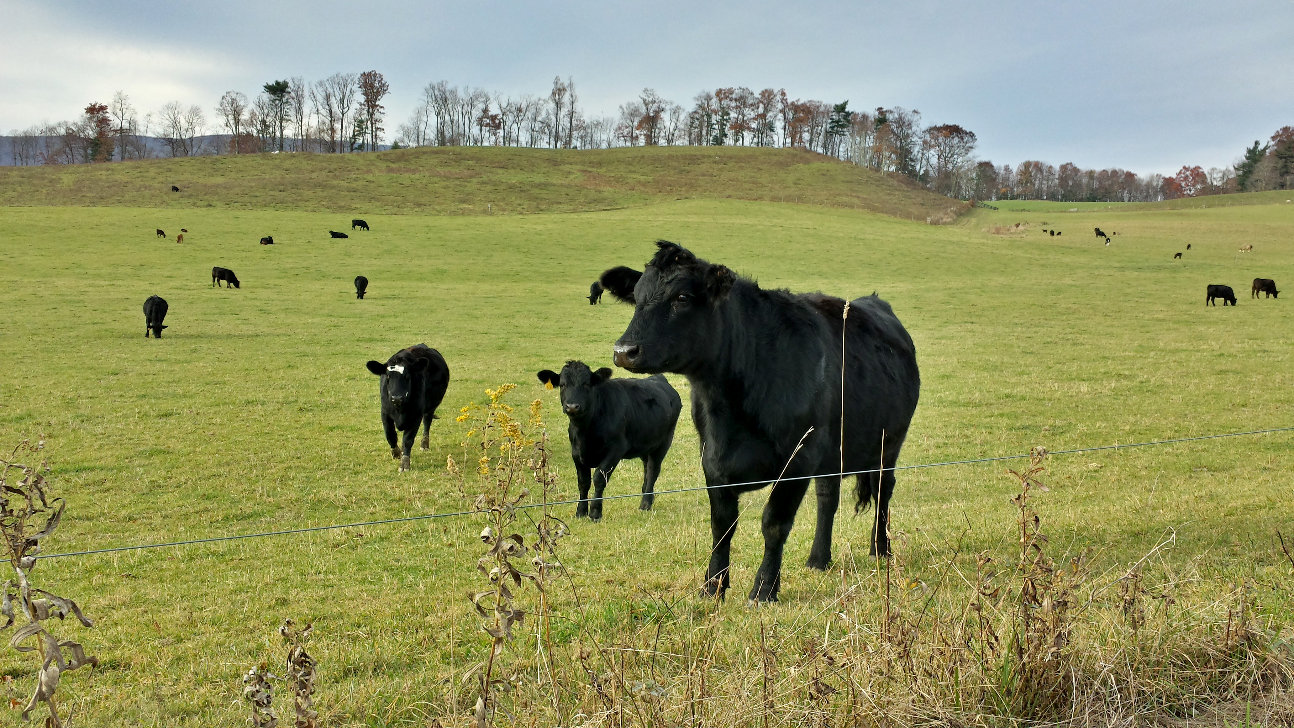
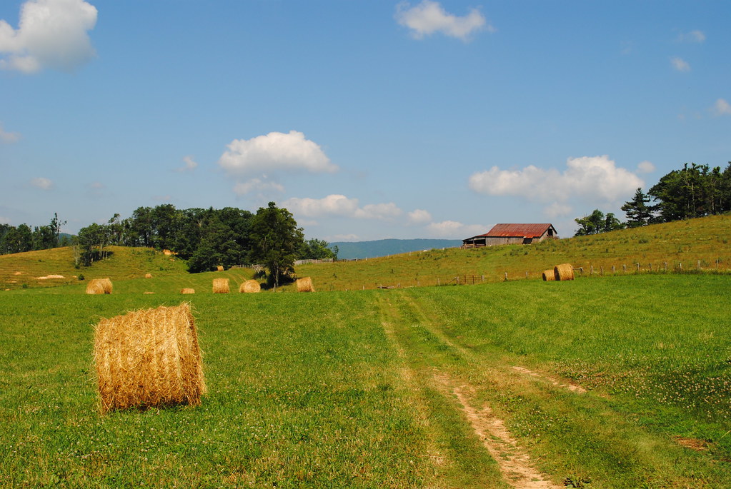
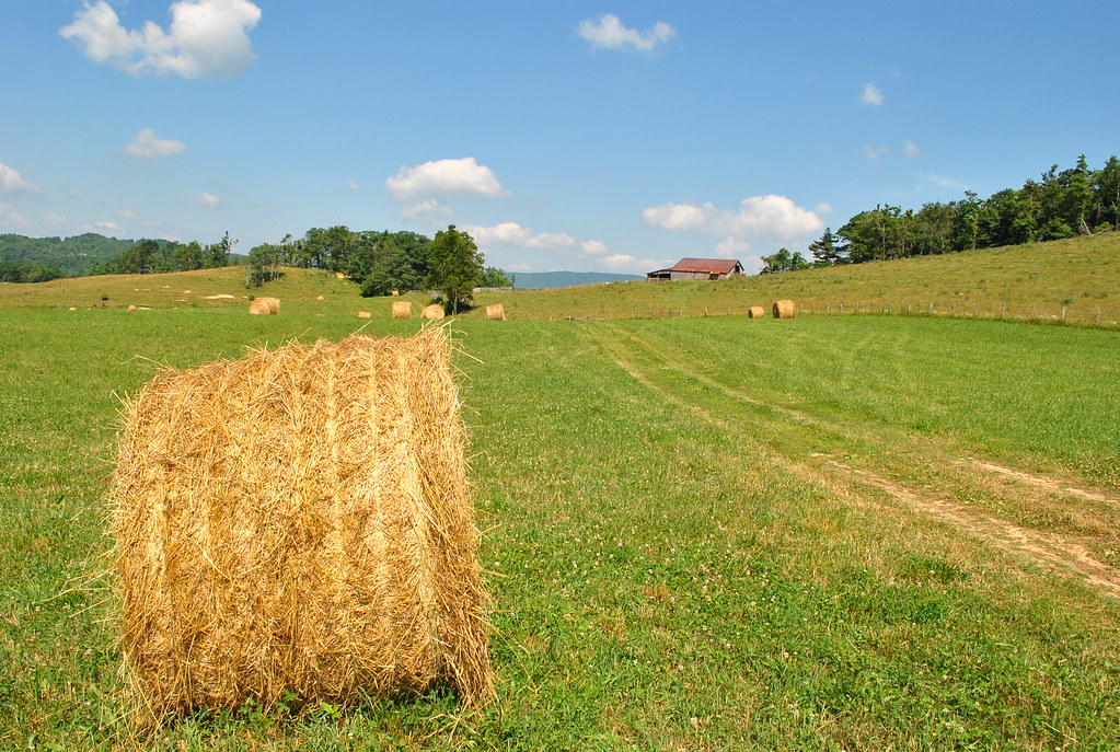
Franklin County Pasture

Side View
2016 02-12 1552.8 NS AC44C6M-4000, 4001 S/B 746 at Rocky Mount, VA
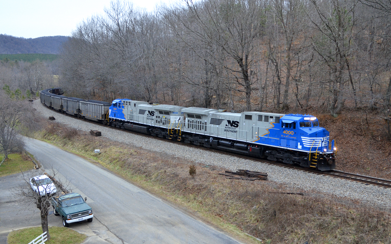
2016 02-12 1637.8 NS AC44C6M-4000, 4001 S/B 746 at Ferrum, VA
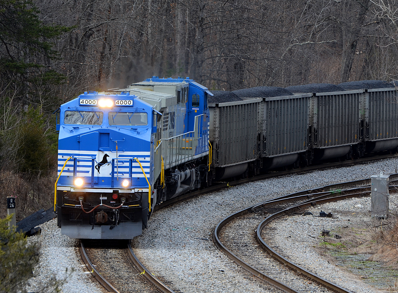
2016 02-12 1421 NS AC44C6M-4000, 4001 S/B 746 at Wirtz, VA
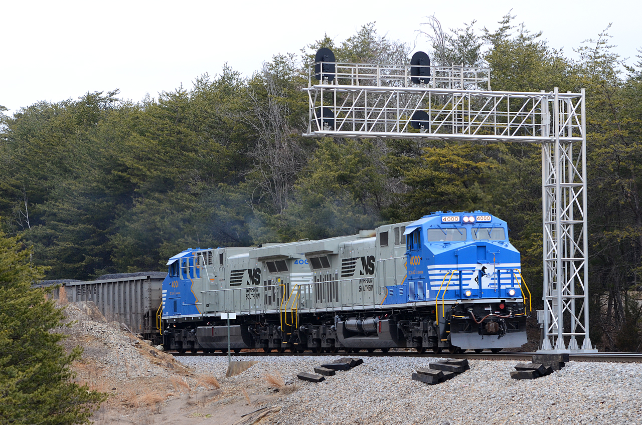
2016 02-12 1552 NS AC44C6M-4000, 4001 S/B 746 at Rocky Mount, VA
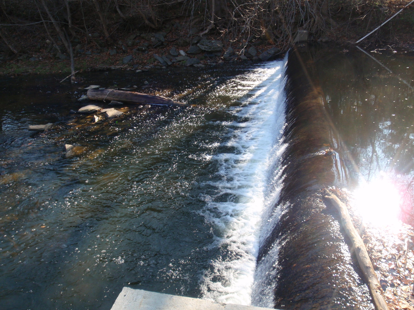
Close-up View of Veterans Memorial Park Dam
3059 View Devils Backbone Img_14220
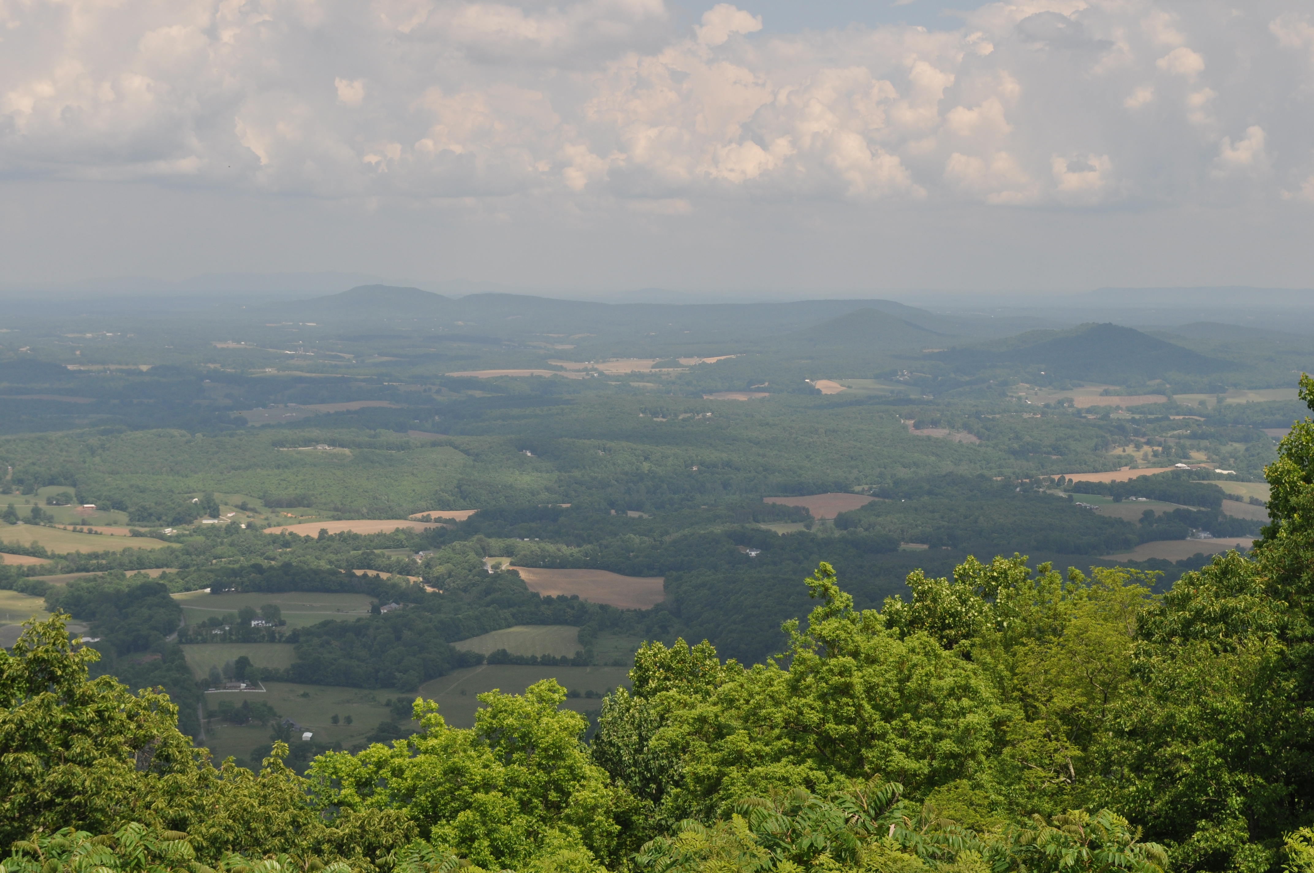
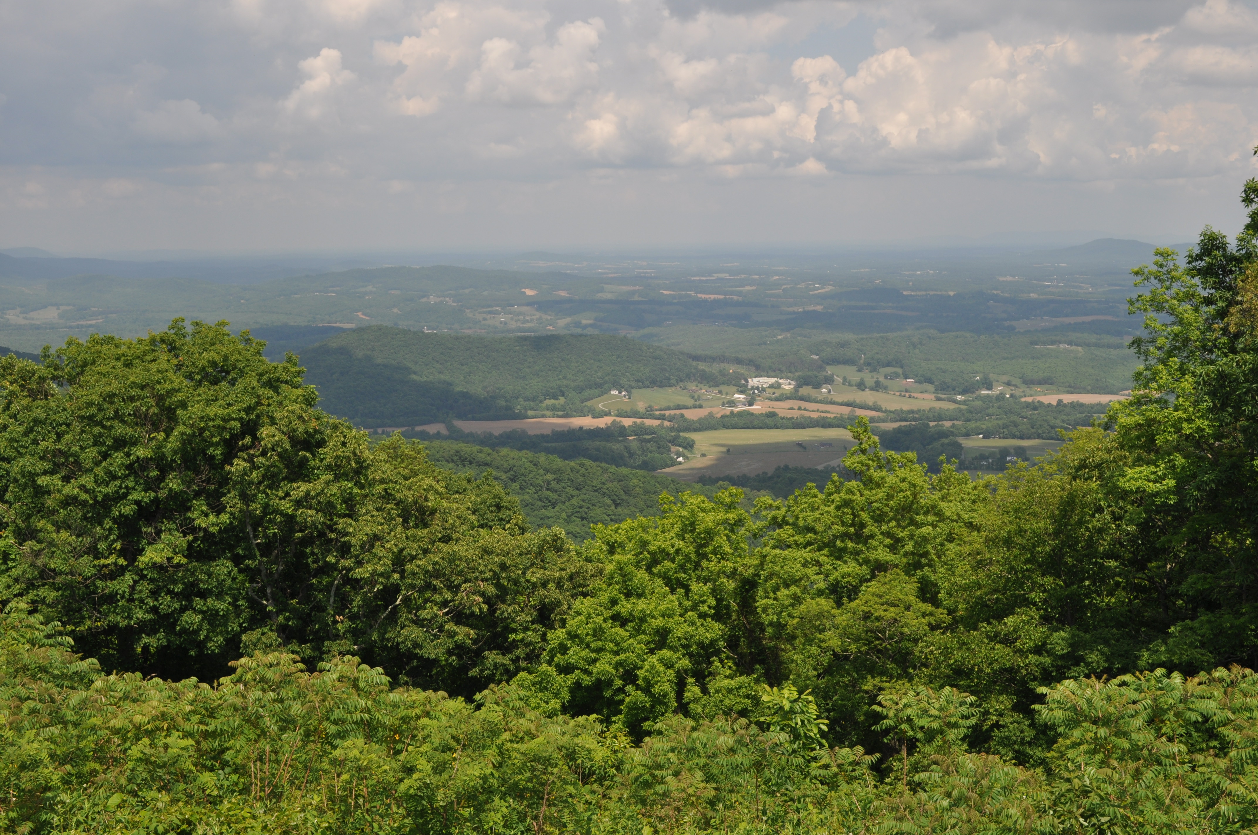
View from Pine Spur overlook

2014.03.18 155K Views

A view for eternity.
Looking Upstream at Veterans Memorial Park Dam
3058 View Devils Backbone Img_14219
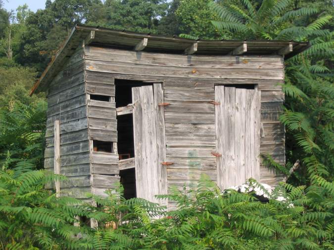
Outhouse Behind Mountain View Service Station

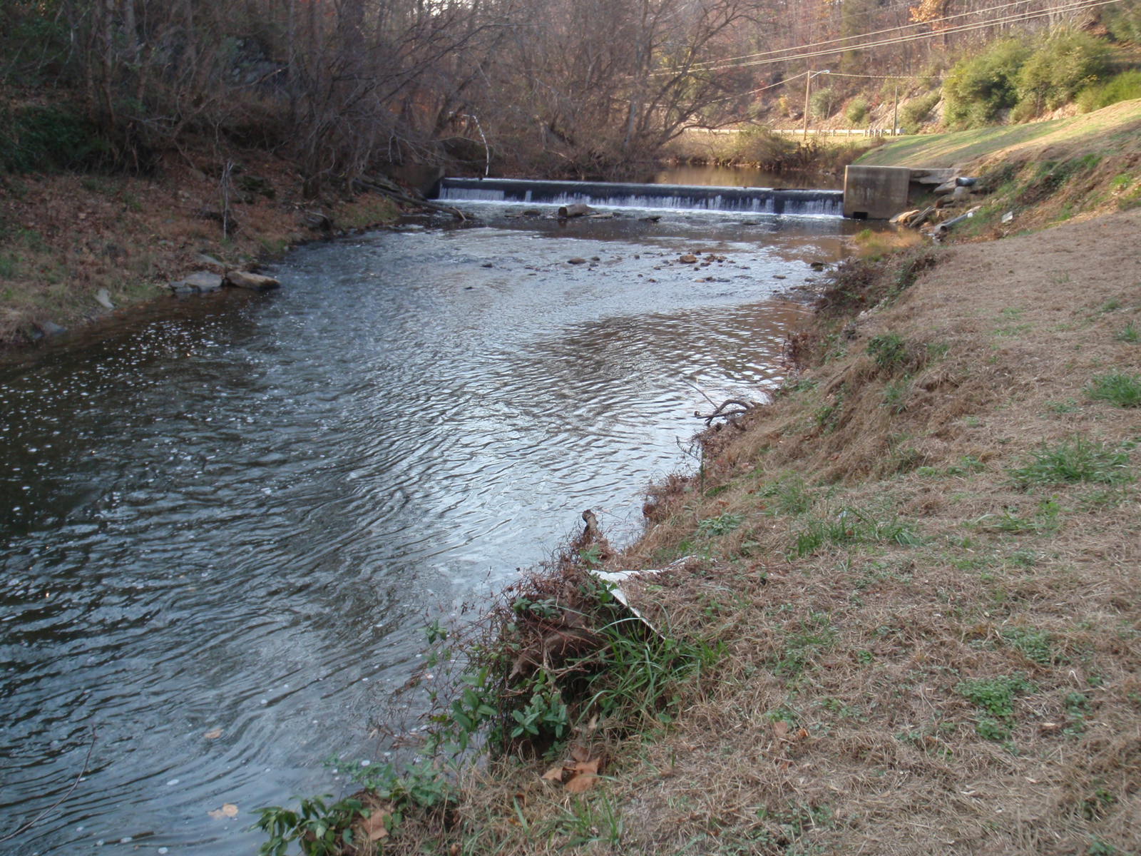
Veterans Memorial Park Dam

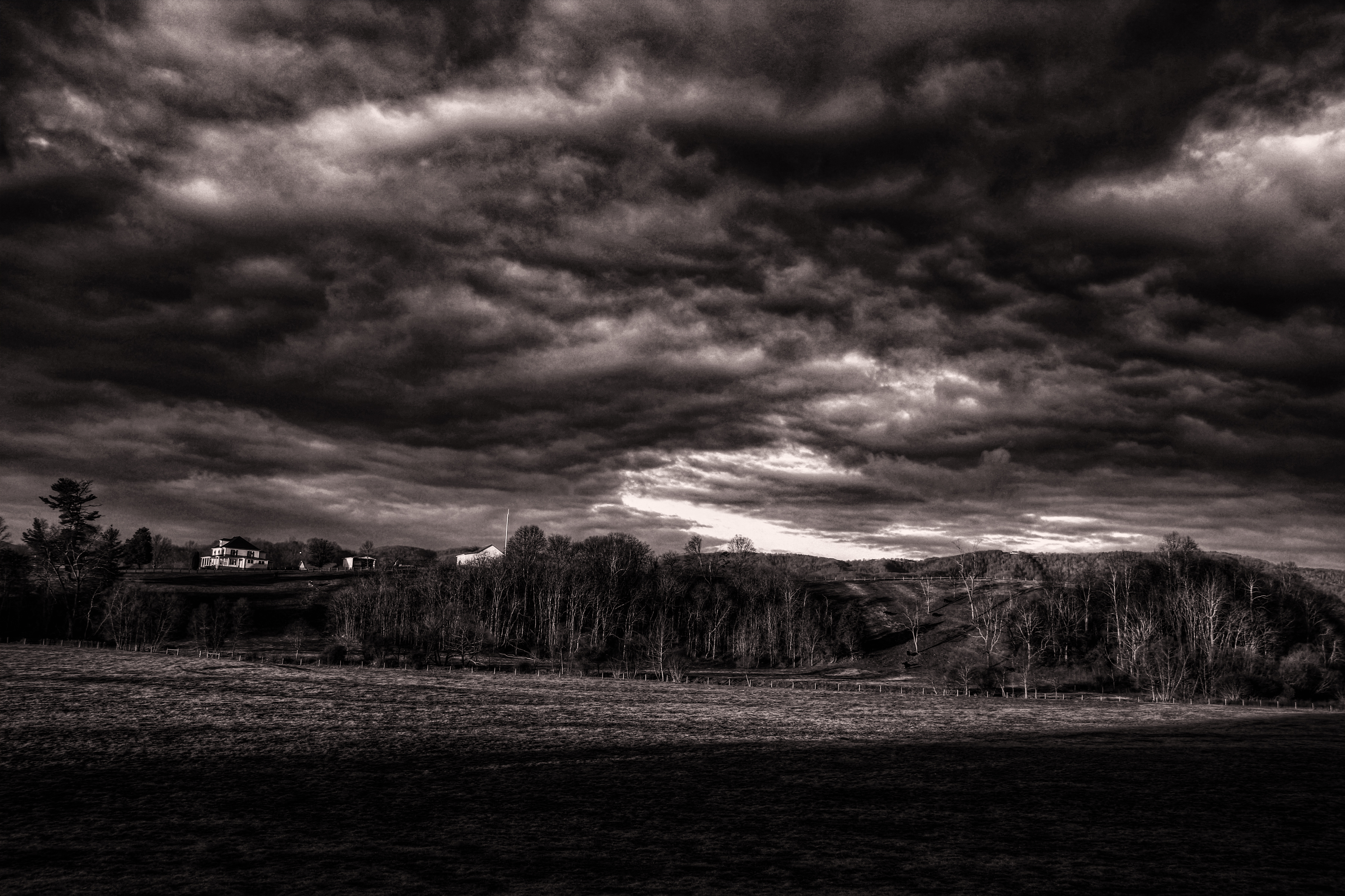
Farm House in December
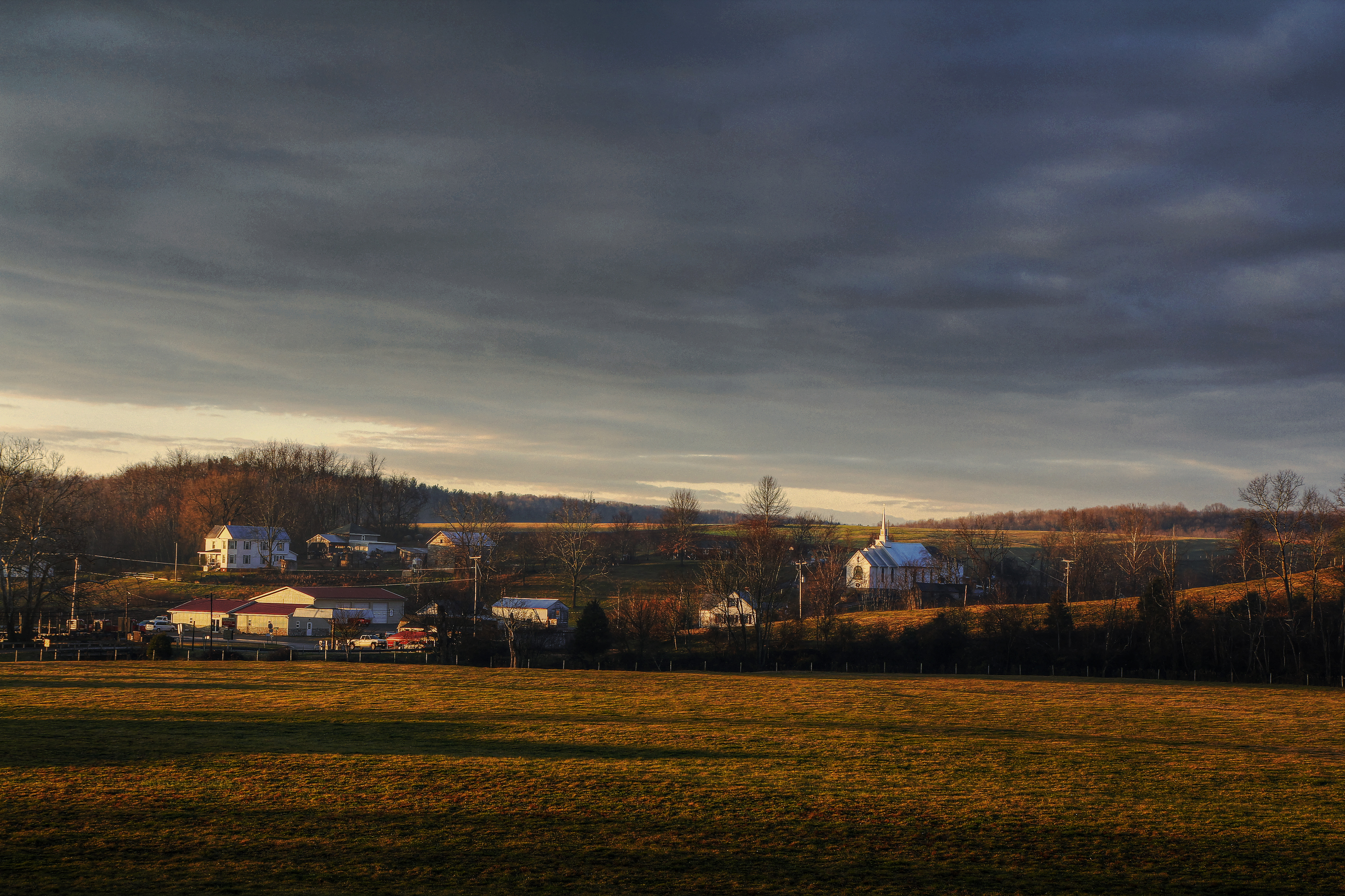
Callaway Village

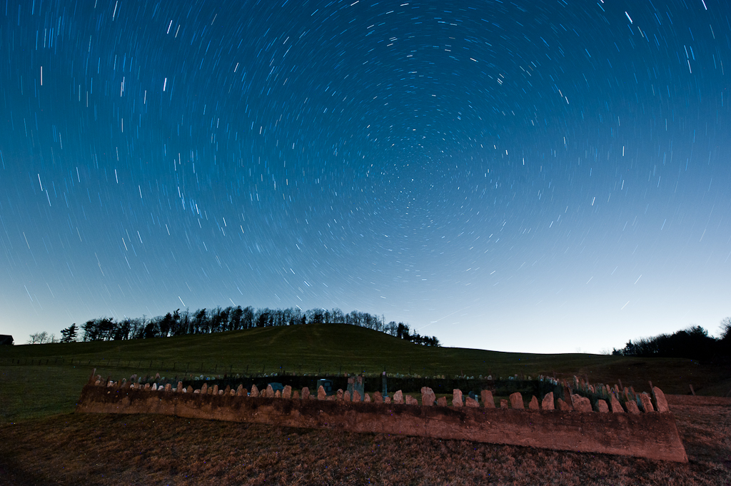
Milky Way Sonic Clear

Evie's birthday sunset

Blue Ridge Parkway Sky
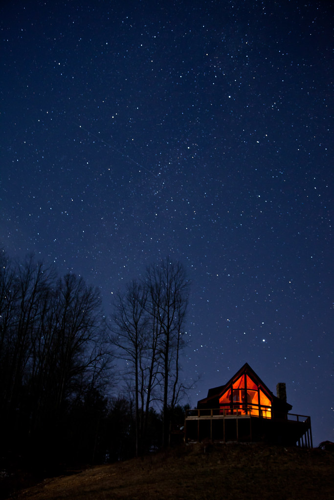
Warm Cabin in the Woods on a Cold Clear Starry Night
Blue Ridge Parkway
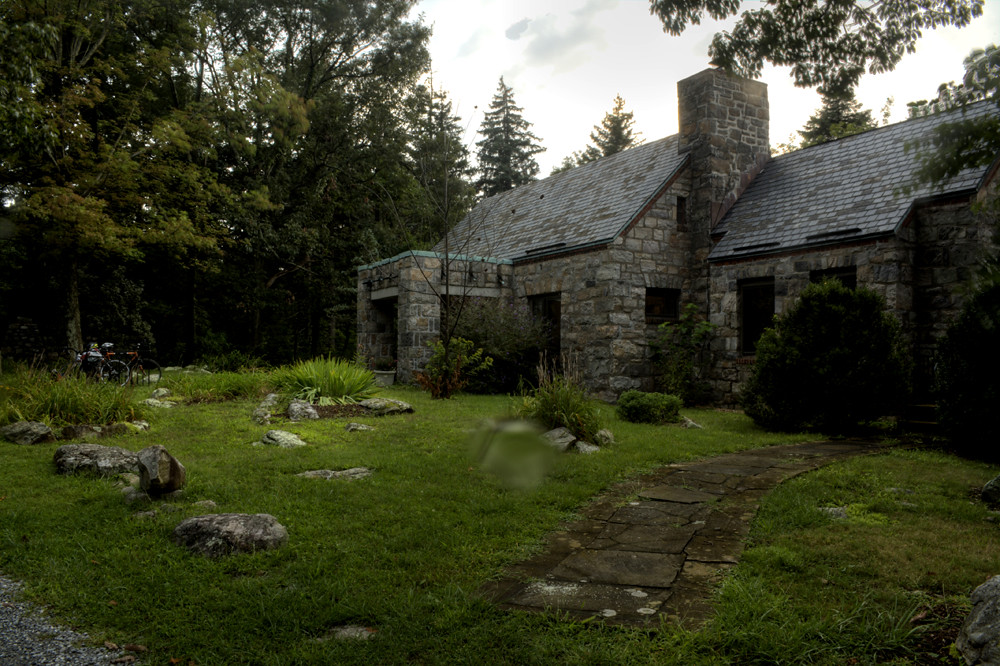
Abandoned House in Virginia

The Sun Falls Behind The Appalachians
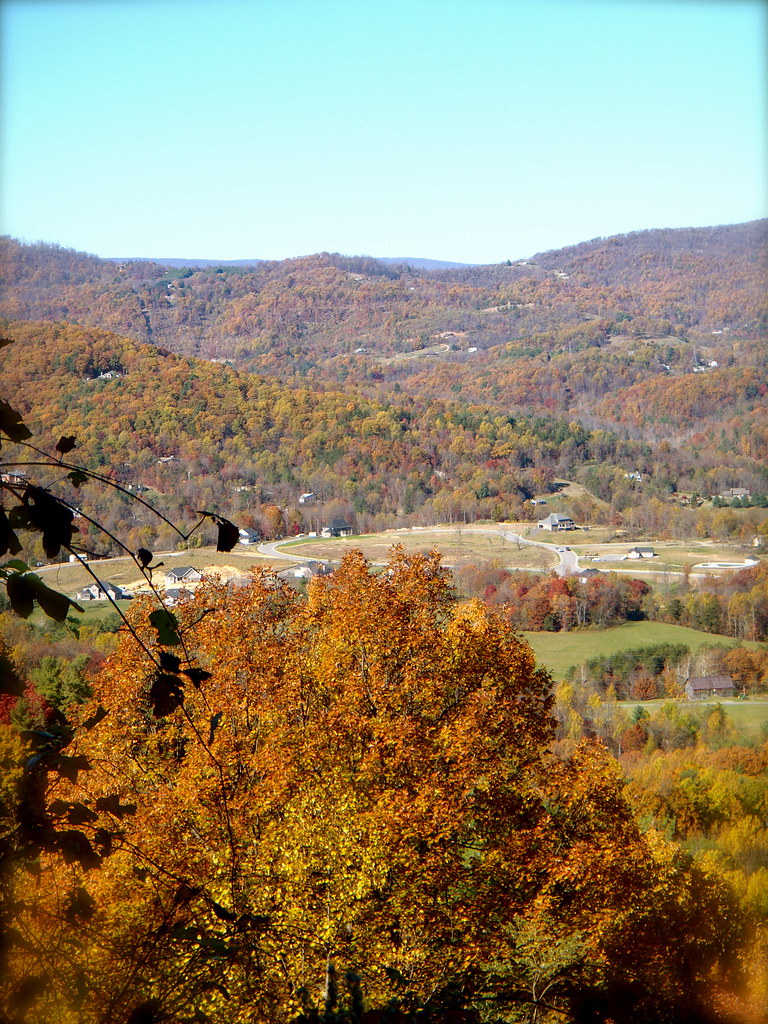
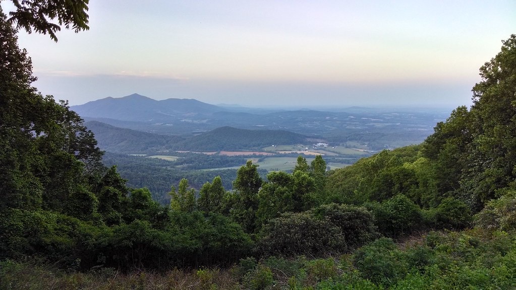
View!
2013.11.04_ZAD09
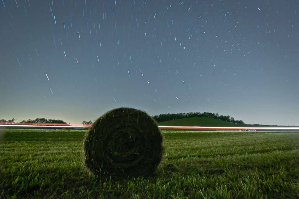
Time in the Dark
Circles all the way down.

Cahas Mountain Overlook
BENT MOUNTAIN
BENT MOUNTAIN
Topographic Map of Blackwater, VA, USA
Find elevation by address:

Places in Blackwater, VA, USA:
Places near Blackwater, VA, USA:
778 Holland Rd
Callaway
Hickman Rd, Rocky Mt, VA, USA
2326 Callaway Rd
884 Isolane Rd
Callaway Rd, Rocky Mt, VA, USA
13357 Callaway Rd
225 Ferrum Mountain Rd
1139 Calico Rock Rd
384 Hemlock Ridge Rd Se
Hemlock Ridge Road Southeast
3457 5 Mile Mountain Rd
164 White Pine Dr Se
161 Greenwood Ln Se
161 Greenwood Ln Se
161 Greenwood Ln Se
900 Bridgewater Ln
40 Shively Rd
1349 Brick Church Rd
Ferrum
Recent Searches:
- Elevation of 62 Abbey St, Marshfield, MA, USA
- Elevation of Fernwood, Bradenton, FL, USA
- Elevation of Felindre, Swansea SA5 7LU, UK
- Elevation of Leyte Industrial Development Estate, Isabel, Leyte, Philippines
- Elevation of W Granada St, Tampa, FL, USA
- Elevation of Pykes Down, Ivybridge PL21 0BY, UK
- Elevation of Jalan Senandin, Lutong, Miri, Sarawak, Malaysia
- Elevation of Bilohirs'k
- Elevation of 30 Oak Lawn Dr, Barkhamsted, CT, USA
- Elevation of Luther Road, Luther Rd, Auburn, CA, USA