Elevation of Altice Mill Road, Altice Mill Rd, Rocky Mount, VA, USA
Location: United States > Virginia > Franklin County > Blackwater > Rocky Mount >
Longitude: -79.868220
Latitude: 37.0252316
Elevation: 319m / 1047feet
Barometric Pressure: 98KPa
Elevation Map:
Satellite Map:
Related Photos:

A Field of Susans 2

2016 02-12 1612 NS AC44C6M-4000, 4001 S/B 746 at Rocky Mount, VA
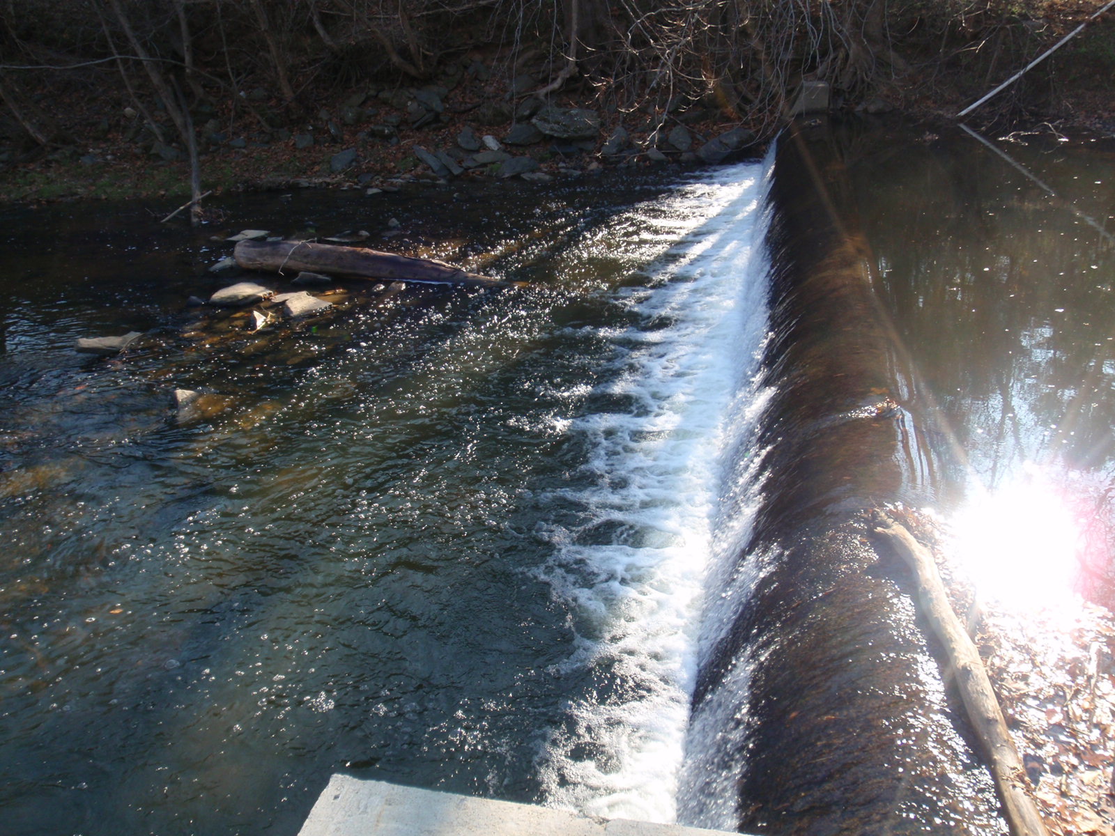
Close-up View of Veterans Memorial Park Dam

Looking Upstream at Veterans Memorial Park Dam

Veterans Memorial Park Dam

Blacksmith Shop

A Field of Susans

Franklin County Sunset

Example #2

2016 02-12 1422.6 NS AC44C6M-4000, 4001 S/B 746 at Wirtz, VA
Summer Corn

Beets and Cold Water

The Potter

2016 02-12 1421 NS AC44C6M-4000, 4001 S/B 746 at Wirtz, VA

2016 02-12 1552 NS AC44C6M-4000, 4001 S/B 746 at Rocky Mount, VA

2016 02-12 1552.8 NS AC44C6M-4000, 4001 S/B 746 at Rocky Mount, VA

Franklin County Pasture

2016 02-12 1438.3 NS SD70ACe-1117 N/B 759 at Rocky Mount, VA

Scarecrow Fence
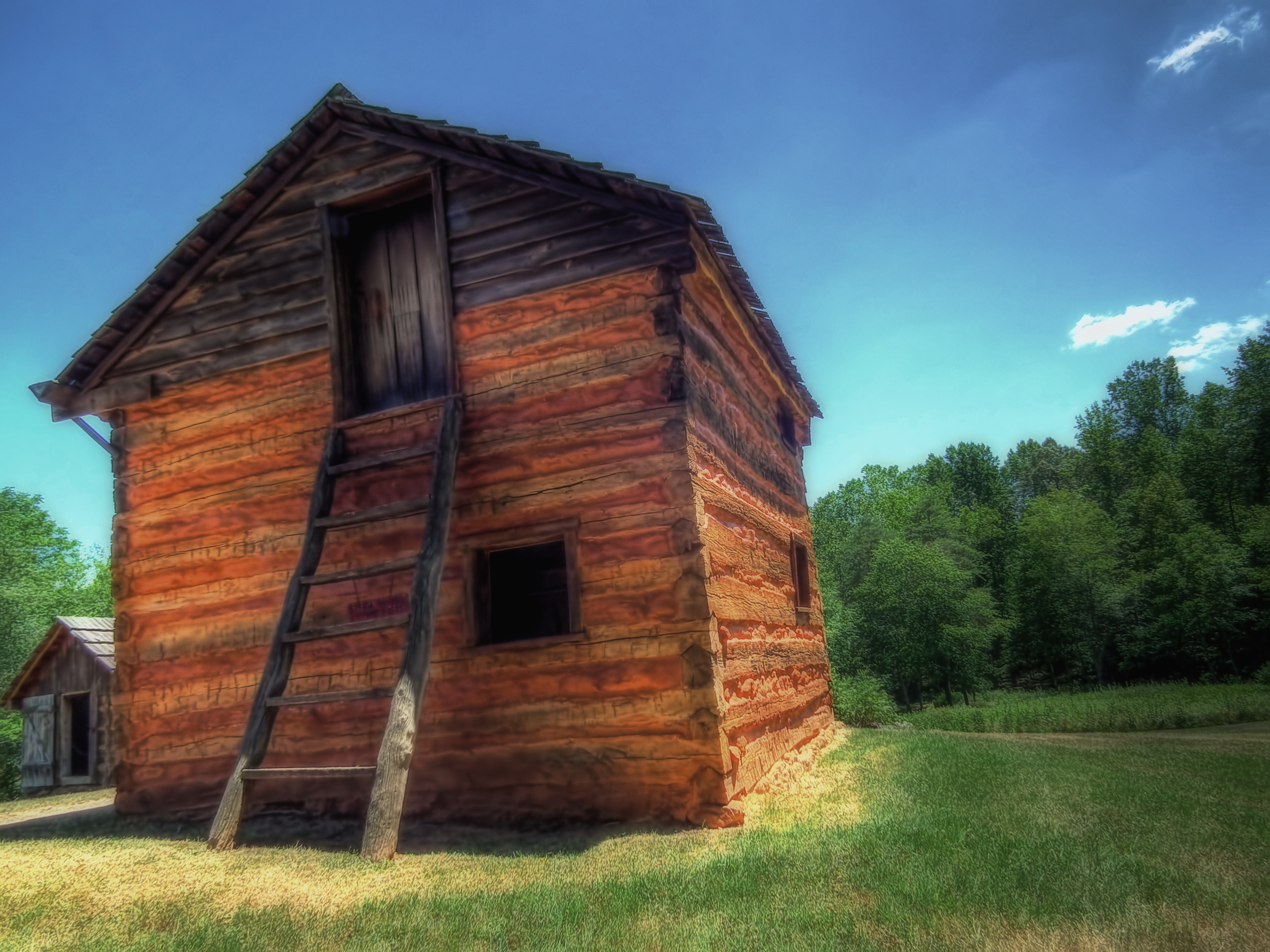
Reconstructed Slave Cabin

Red Jungle

Whatta Sky

Farm House in December

Scarecrow Garden

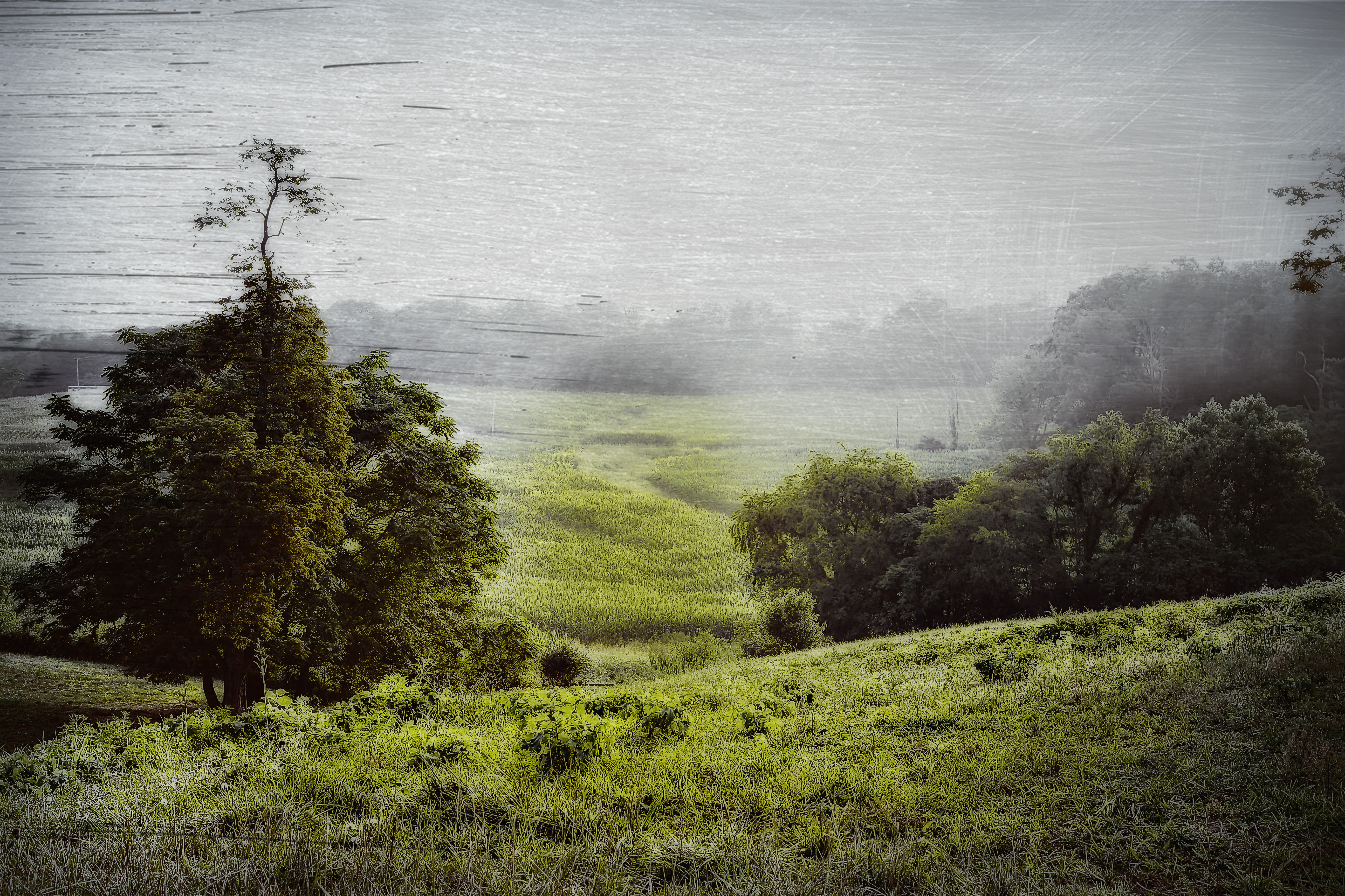
Confluence in the woods.

Smith Mountain Lake

Pigg River Power Dam

Callaway Village

Pigg River Power Dam

Power Dam intial notching Day 1

WASHINGTON IRON WORKS

Butterfly 024

The Sun Falls Behind The Appalachians

behind decorators paradise

Dusk at Smith Mountain Lake

The lake

Blue sky. Green grass. Cows. #FarmLife
Topographic Map of Altice Mill Road, Altice Mill Rd, Rocky Mount, VA, USA
Find elevation by address:

Places near Altice Mill Road, Altice Mill Rd, Rocky Mount, VA, USA:
17385 Virgil H Goode Hwy
875 Riverbend Dr
6 Scenic Dr
Rocky Mount
124 Vintage Cir
210 Hillcrest Dr
280 Grahams Dr
385 Knollwood Dr
Rocky Mount
270 Parkside Ln
724 State Rte 705
724 Chestnut Hill Rd
Wirtz
Rocky Mount, VA, USA
1349 Brick Church Rd
Ashpone
790 Little Mountain Cir
Franklin County
1104 State Rte 723
Callaway Rd, Rocky Mt, VA, USA
Recent Searches:
- Elevation of Woodland Oak Pl, Thousand Oaks, CA, USA
- Elevation of Brownsdale Rd, Renfrew, PA, USA
- Elevation of Corcoran Ln, Suffolk, VA, USA
- Elevation of Mamala II, Sariaya, Quezon, Philippines
- Elevation of Sarangdanda, Nepal
- Elevation of 7 Waterfall Way, Tomball, TX, USA
- Elevation of SW 57th Ave, Portland, OR, USA
- Elevation of Crocker Dr, Vacaville, CA, USA
- Elevation of Pu Ngaol Community Meeting Hall, HWHM+3X7, Krong Saen Monourom, Cambodia
- Elevation of Royal Ontario Museum, Queens Park, Toronto, ON M5S 2C6, Canada