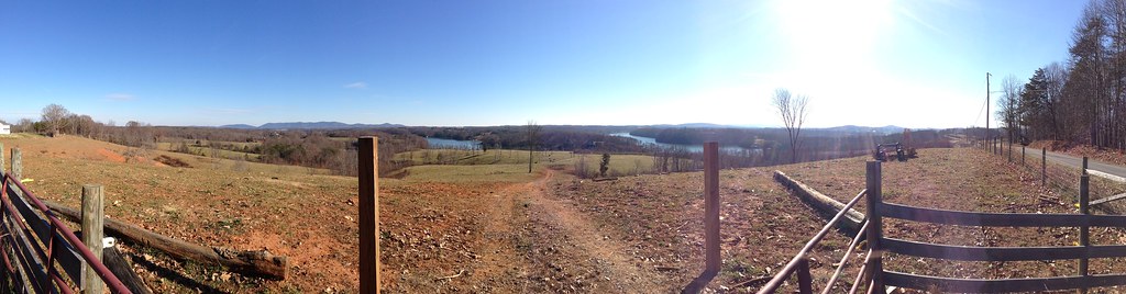
Elevation of Grahams Dr, Rocky Mount, VA, USA
Location: United States > Virginia > Franklin County > Blackwater > Rocky Mount >
Longitude: -79.832494
Latitude: 37.0493152
Elevation: 304m / 997feet
Barometric Pressure: 98KPa
Elevation Map:
Satellite Map:
Related Photos:

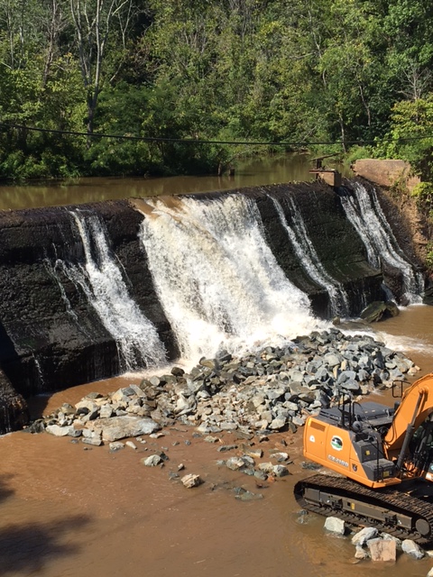
Veterans Memorial Park Dam
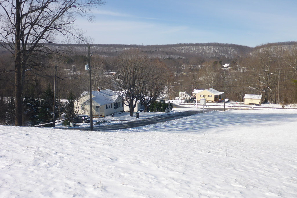
View in Rocky Mount

Summer Corn

A Field of Susans 2

A Field of Susans
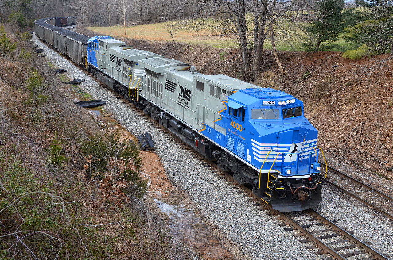
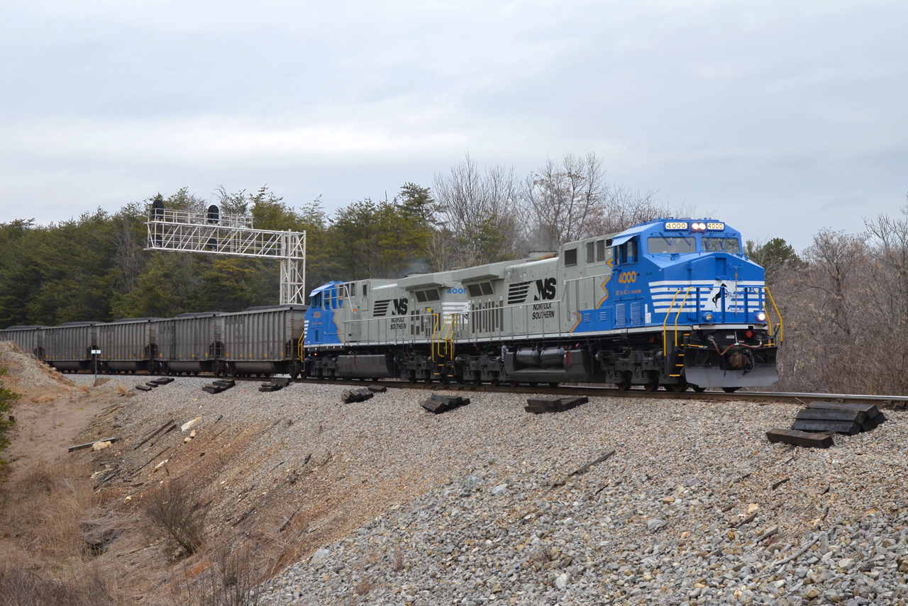
2016 02-12 1422.6 NS AC44C6M-4000, 4001 S/B 746 at Wirtz, VA

A view for eternity.

Scarecrow Fence
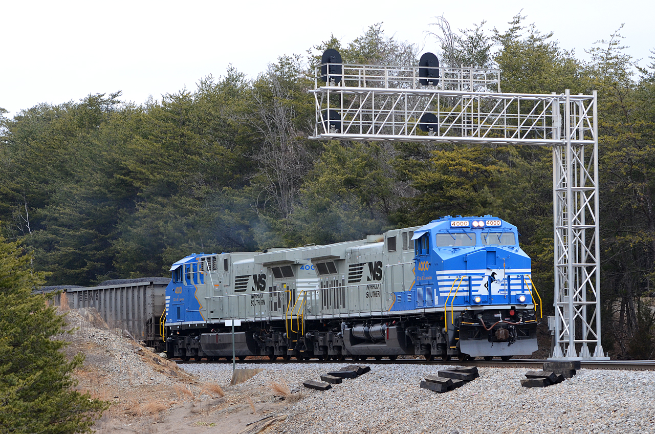
2016 02-12 1552 NS AC44C6M-4000, 4001 S/B 746 at Rocky Mount, VA
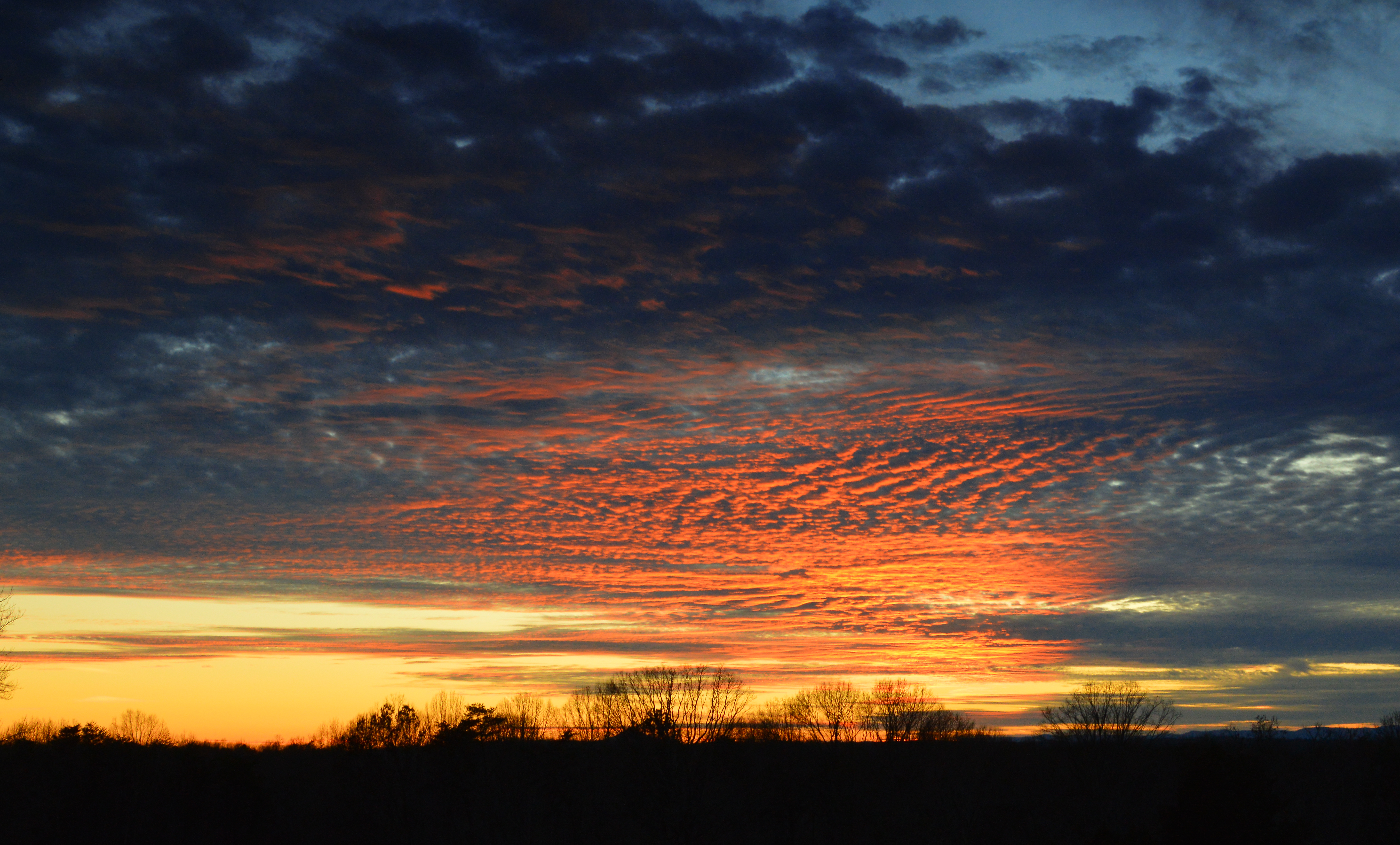
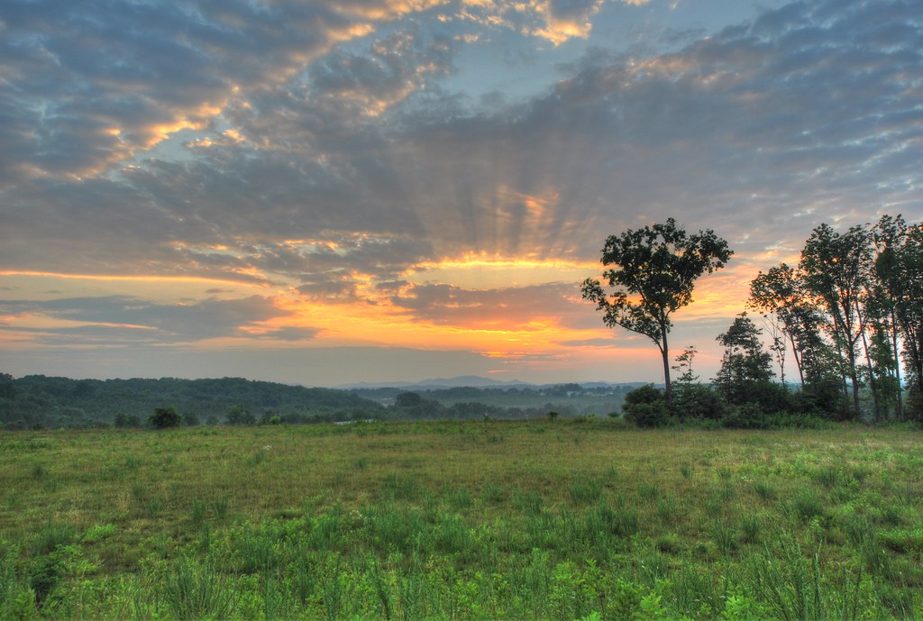
Franklin County Sunset

Reconstructed Slave Cabin
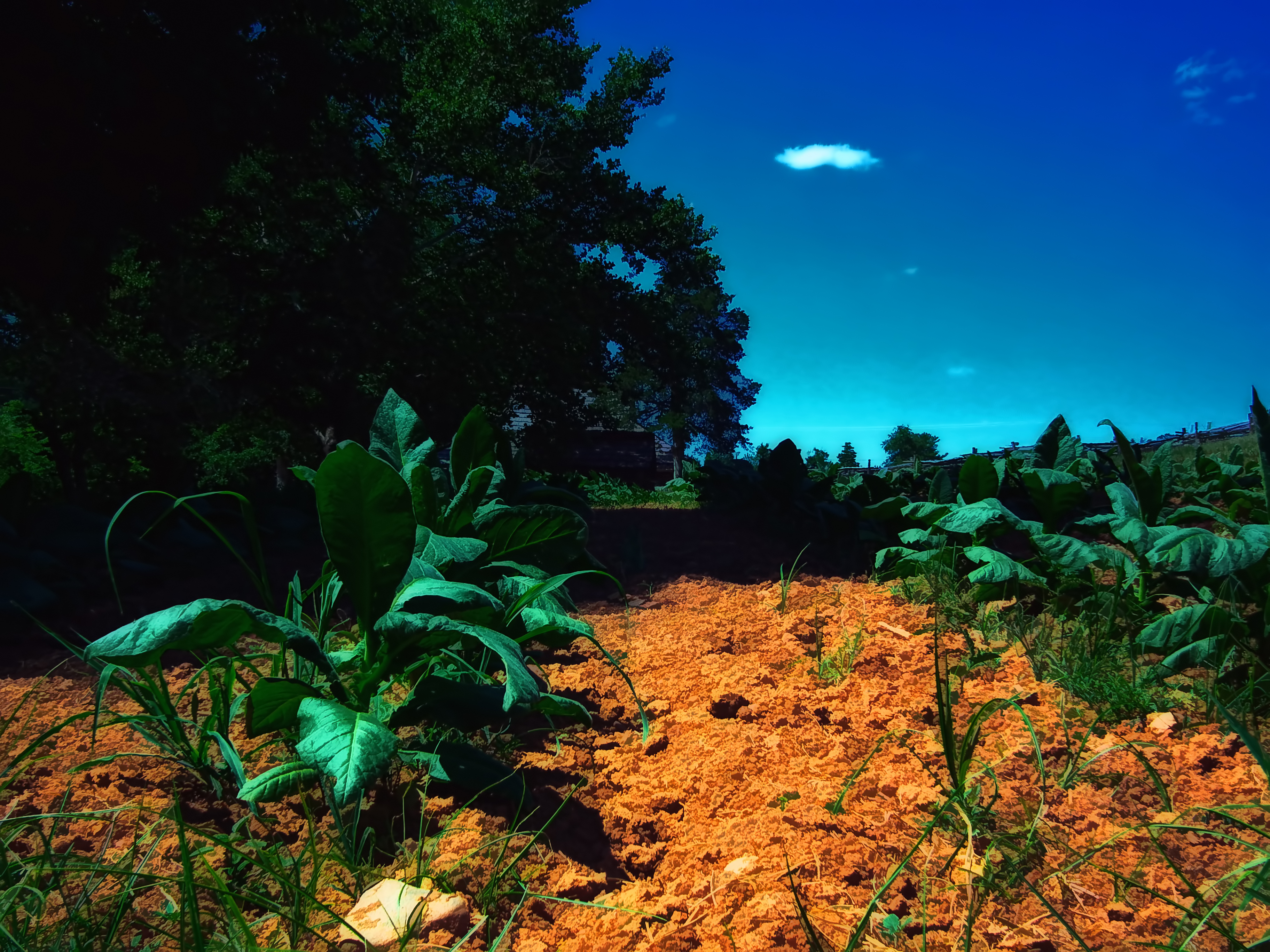
Tobacco Field
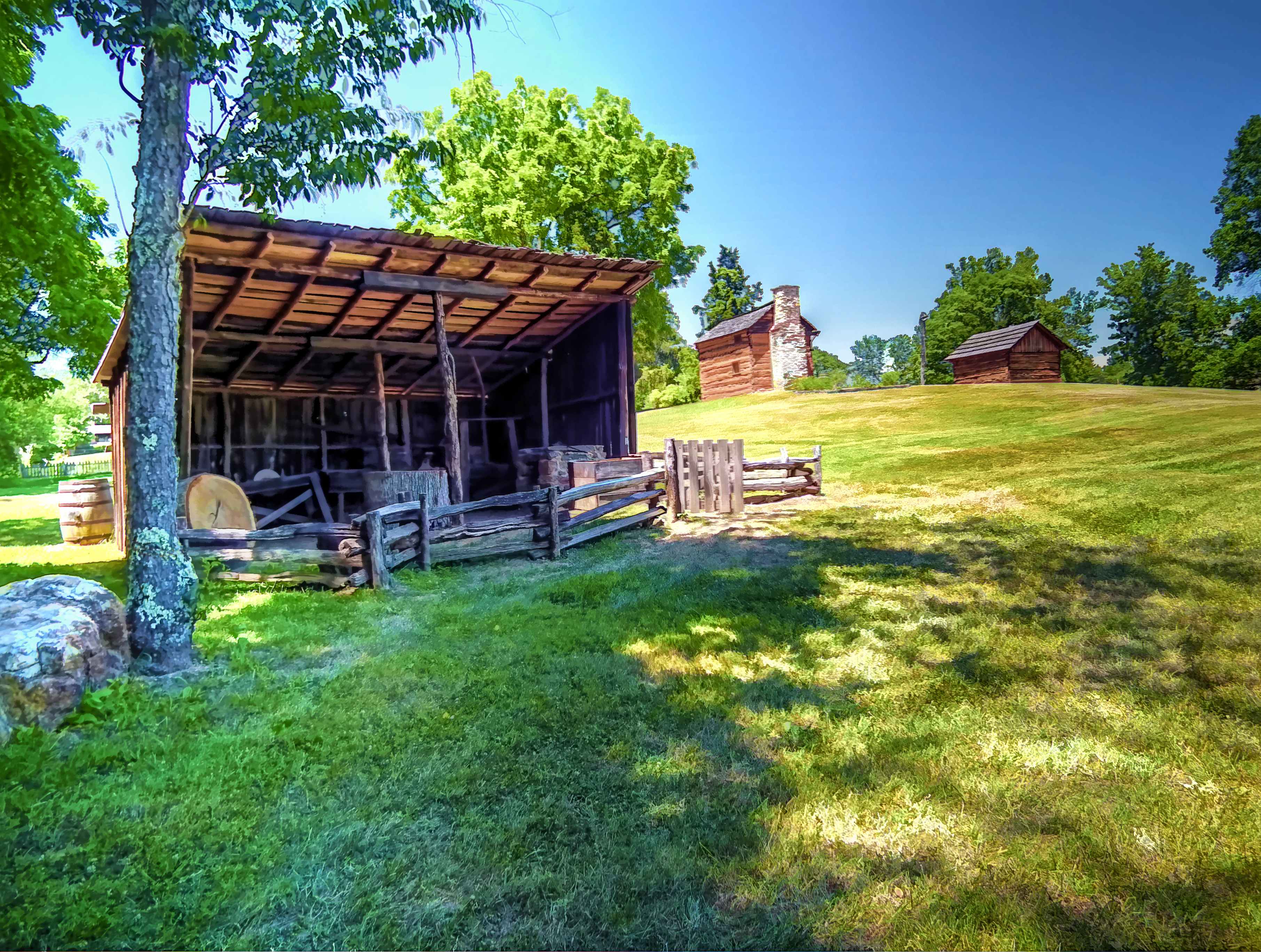
Blacksmith Shop
2016 02-12 1552.8 NS AC44C6M-4000, 4001 S/B 746 at Rocky Mount, VA
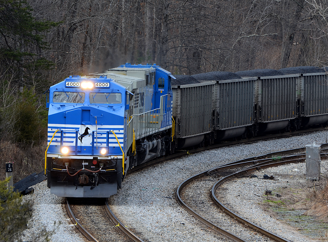
2016 02-12 1421 NS AC44C6M-4000, 4001 S/B 746 at Wirtz, VA

More Faded Blooms
The view from our farm, Smith Mountain Lake, VA

Scarecrow Color

Example #2

Example #4
Example #1

The Sun Falls Behind The Appalachians
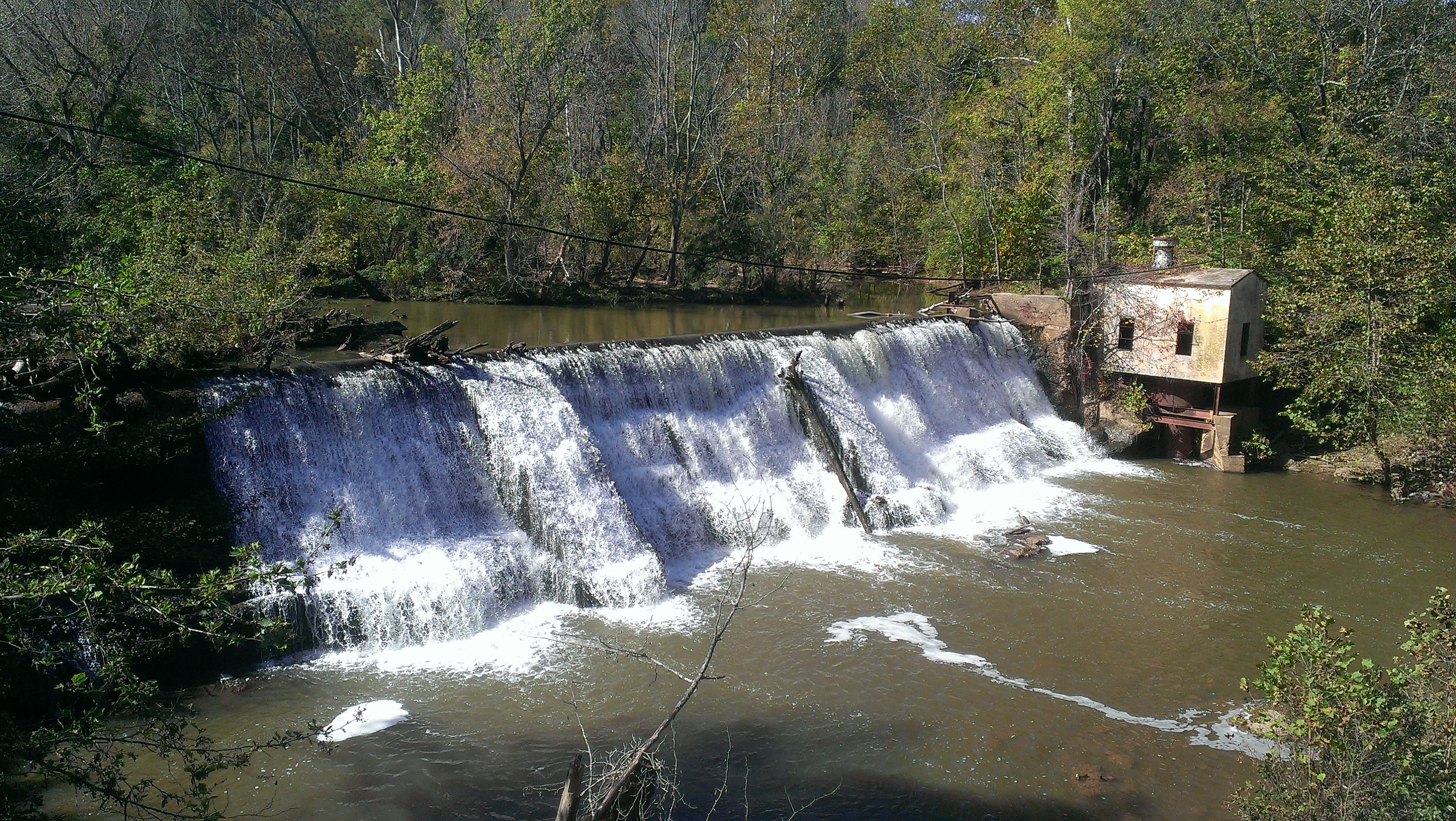
Pigg River Power Dam
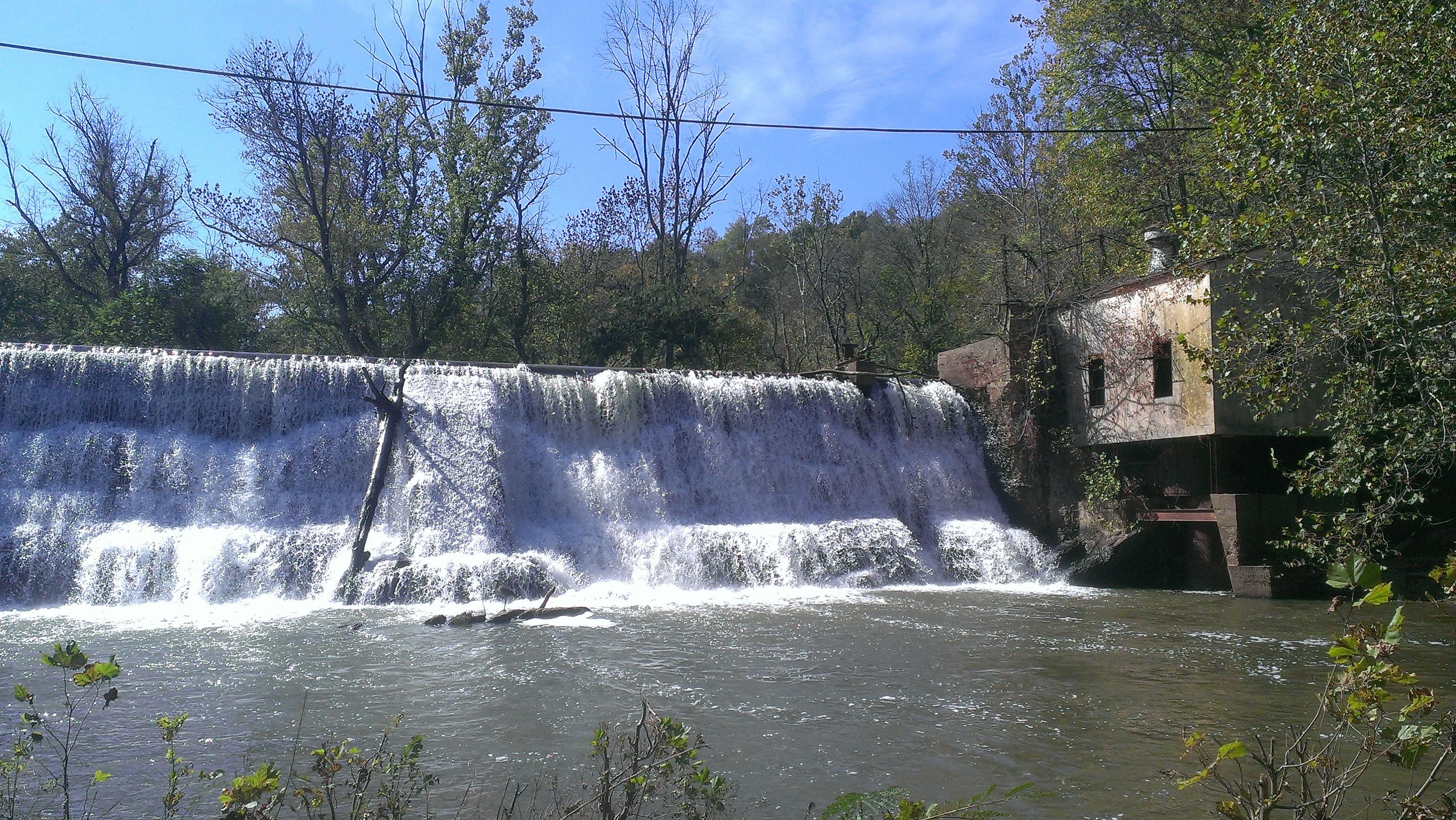
Pigg River Power Dam
Power Dam intial notching Day 1

Scarecrow Garden
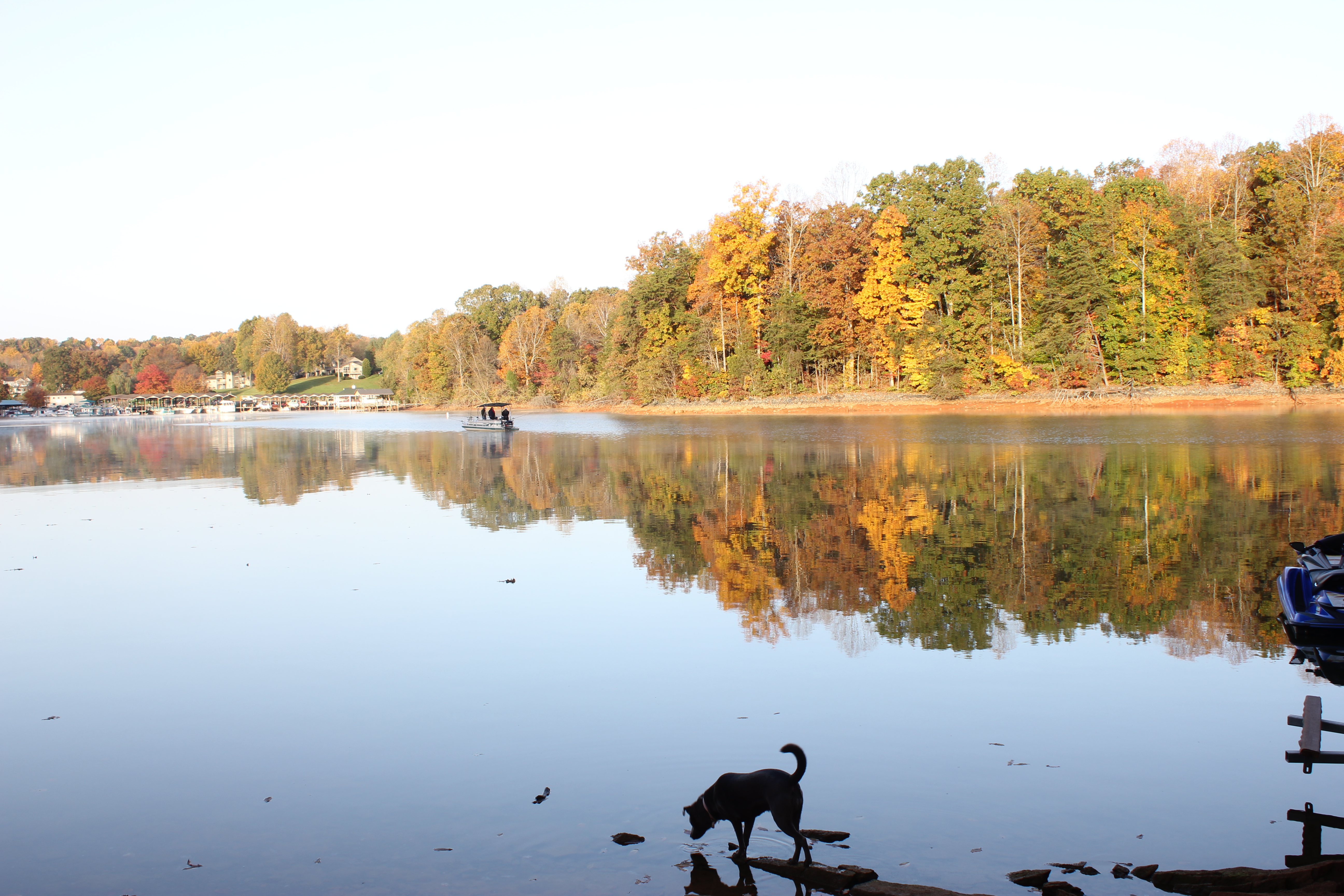
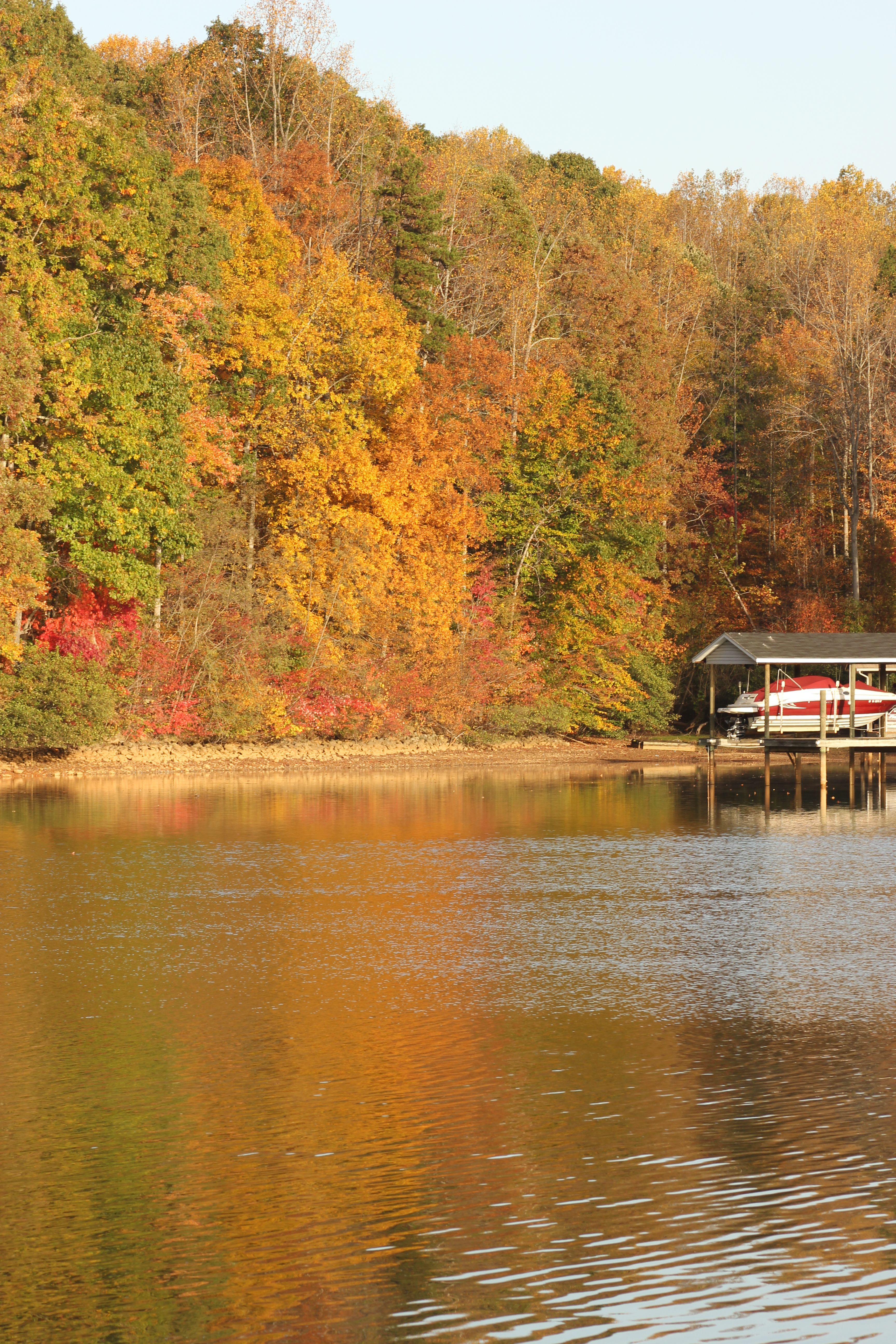
Smith Mountain Lake
10.20.12 Smith Mountain Lake

Cloudy Contrasty
10.20.12 Smith Mountain Lake

Butterfly 024

10.20.12 Smith Mountain Lake
10.20.12 Smith Mountain Lake

Sunrise in Franklin County

Visiting Mark's Parents

Visiting Mark's Parents

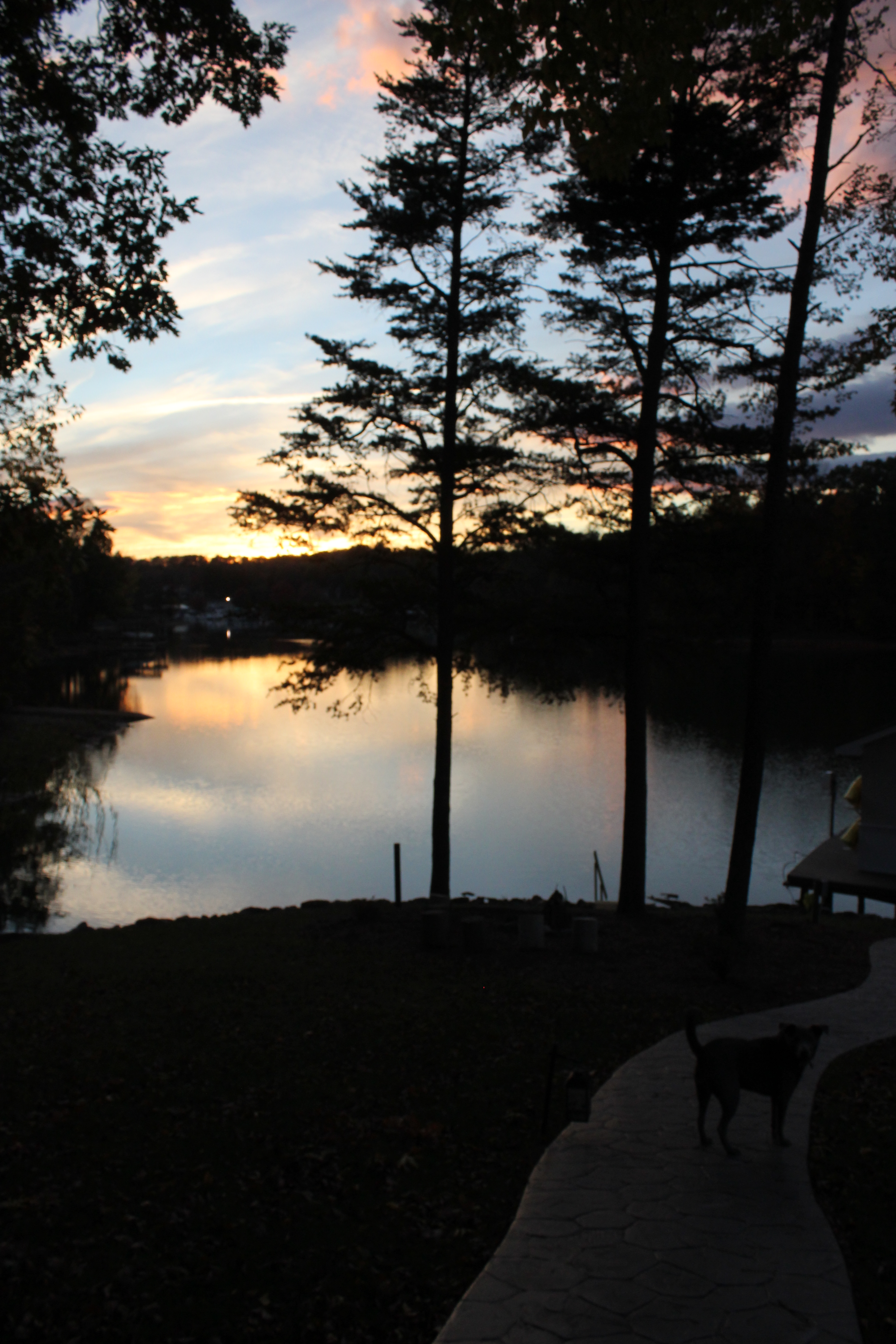
Dusk at Smith Mountain Lake
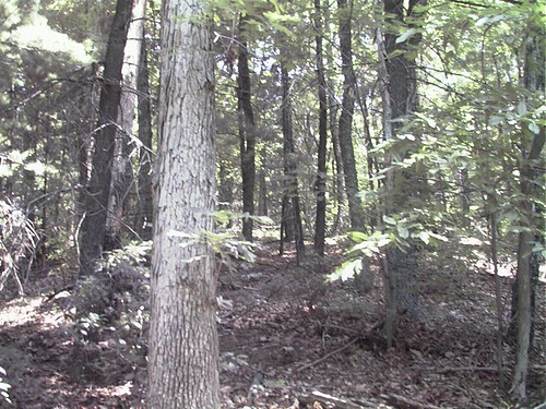
Confluence in the woods.
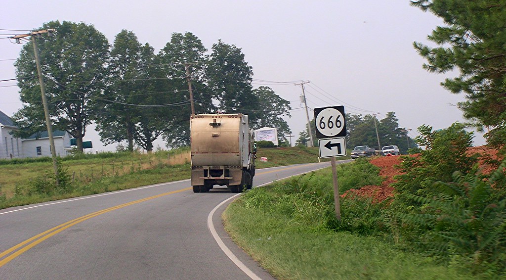
Highway to *where*??
Topographic Map of Grahams Dr, Rocky Mount, VA, USA
Find elevation by address:

Places near Grahams Dr, Rocky Mount, VA, USA:
875 Riverbend Dr
Altice Mill Road
17385 Virgil H Goode Hwy
6 Scenic Dr
724 State Rte 705
724 Chestnut Hill Rd
Wirtz
124 Vintage Cir
Rocky Mount
Rocky Mount, VA, USA
210 Hillcrest Dr
Rocky Mount
385 Knollwood Dr
270 Parkside Ln
Ashpone
1349 Brick Church Rd
790 Little Mountain Cir
Franklin County
1104 State Rte 723
Callaway Rd, Rocky Mt, VA, USA
Recent Searches:
- Elevation of NY-, Friendship, NY, USA
- Elevation of 64 Danakas Dr, Winnipeg, MB R2C 5N7, Canada
- Elevation of 4 Vale Rd, Sheffield S3 9QX, UK
- Elevation of Keene Point Drive, Keene Point Dr, Grant, AL, USA
- Elevation of State St, Zanesville, OH, USA
- Elevation of Austin Stone Dr, Haslet, TX, USA
- Elevation of Bydgoszcz, Poland
- Elevation of Bydgoszcz, Poland
- Elevation of Calais Dr, Del Mar, CA, USA
- Elevation of Placer Mine Ln, West Jordan, UT, USA