Elevation of Liberty County, TX, USA
Location: United States > Texas >
Longitude: -94.810595
Latitude: 30.1633593
Elevation: 22m / 72feet
Barometric Pressure: 101KPa
Elevation Map:
Satellite Map:
Related Photos:
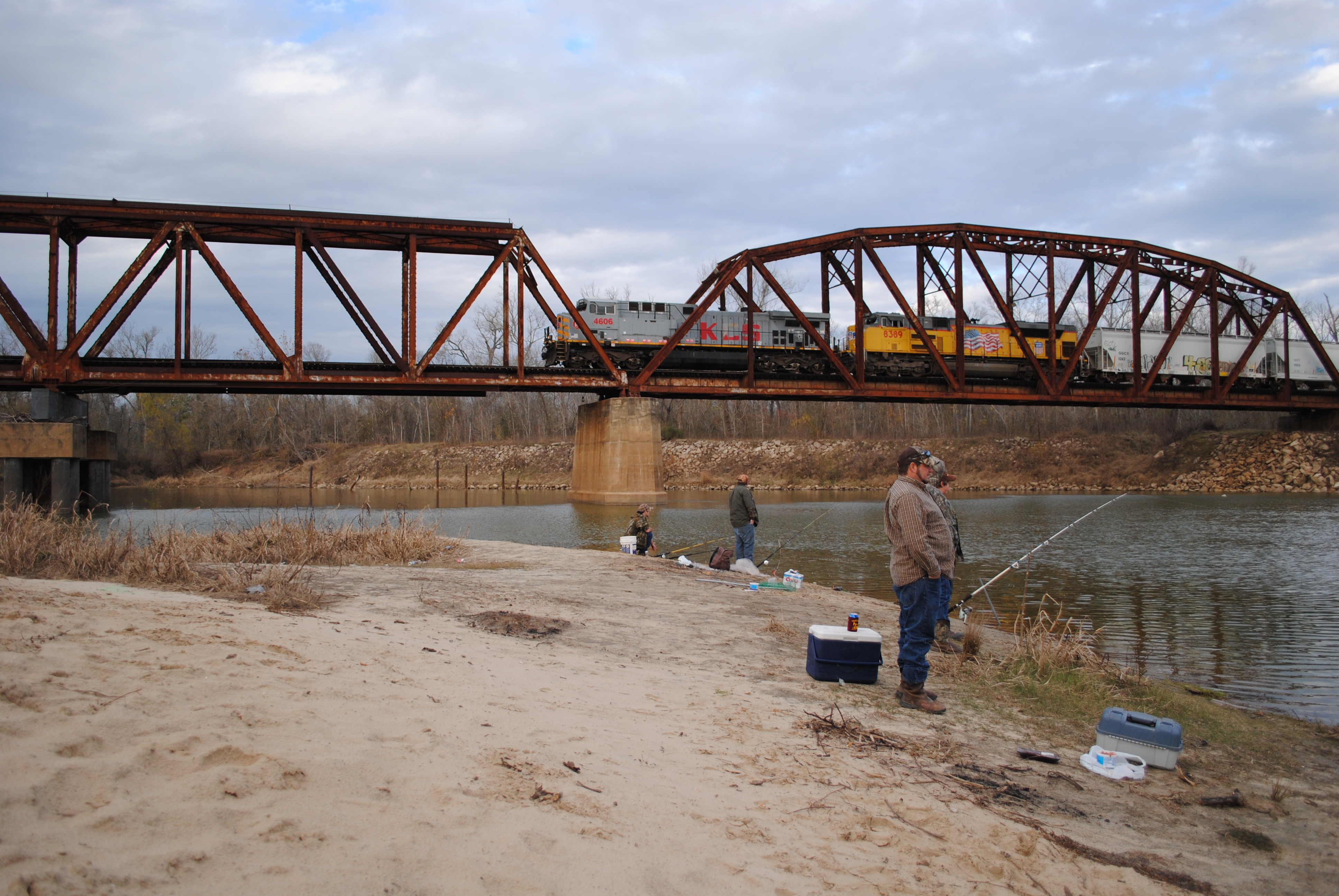
Fishing as KCS 4606 Crosses Trinity River on Union Pacific Railroad Bridge, Liberty, Texas 1301031610

Through the corral

Fishing as KCS 4606 Crosses Trinity River on Union Pacific Railroad Bridge, Liberty, Texas 1301031608BW

Once red barn 1

Rear end shot.

Point Bar on the Trinity River

#texas #sunrise #magichour #cloudporn ... #streetphotography #vagabond

20150609_065927~2

New Heifer.
Topographic Map of Liberty County, TX, USA
Find elevation by address:

Places in Liberty County, TX, USA:
Places near Liberty County, TX, USA:
County Road 2500
Co Rd, Liberty, TX, USA
559 County Rd 2331
2359 Fm 563 Rd
553 Co Rd 2106
County Road 645
Hardin
County Rd, Dayton, TX, USA
Co Rd, Liberty, TX, USA
6002 Atascocita Dr
60 County Rd, Dayton, TX, USA
160 County Rd 6391
1116 Co Rd 2016
4017 Hillcrest St
2525 Jefferson Dr
1602 Edgewood St
1602 Hawthorne St
742 County Rd 632
1509 Magnolia St
County Road 6508
Recent Searches:
- Elevation of Corso Fratelli Cairoli, 35, Macerata MC, Italy
- Elevation of Tallevast Rd, Sarasota, FL, USA
- Elevation of 4th St E, Sonoma, CA, USA
- Elevation of Black Hollow Rd, Pennsdale, PA, USA
- Elevation of Oakland Ave, Williamsport, PA, USA
- Elevation of Pedrógão Grande, Portugal
- Elevation of Klee Dr, Martinsburg, WV, USA
- Elevation of Via Roma, Pieranica CR, Italy
- Elevation of Tavkvetili Mountain, Georgia
- Elevation of Hartfords Bluff Cir, Mt Pleasant, SC, USA