Elevation of Co Rd, Liberty, TX, USA
Location: United States > Texas > Liberty County > Liberty >
Longitude: -94.790255
Latitude: 30.2314684
Elevation: 13m / 43feet
Barometric Pressure: 101KPa
Elevation Map:
Satellite Map:
Related Photos:

Point Bar on the Trinity River
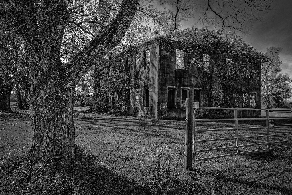
Old Tarkington High School
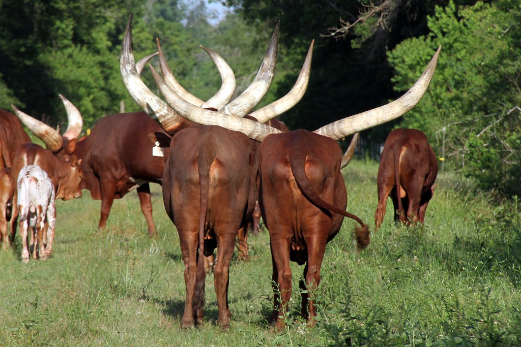
Rear end shot.
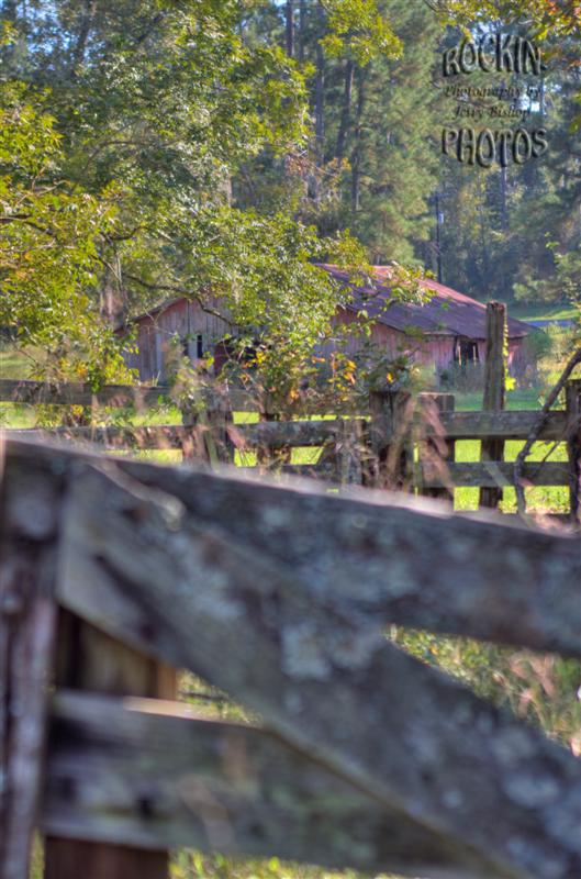
Through the corral

Old Tarkington School
3x3x3...

Morning Glory
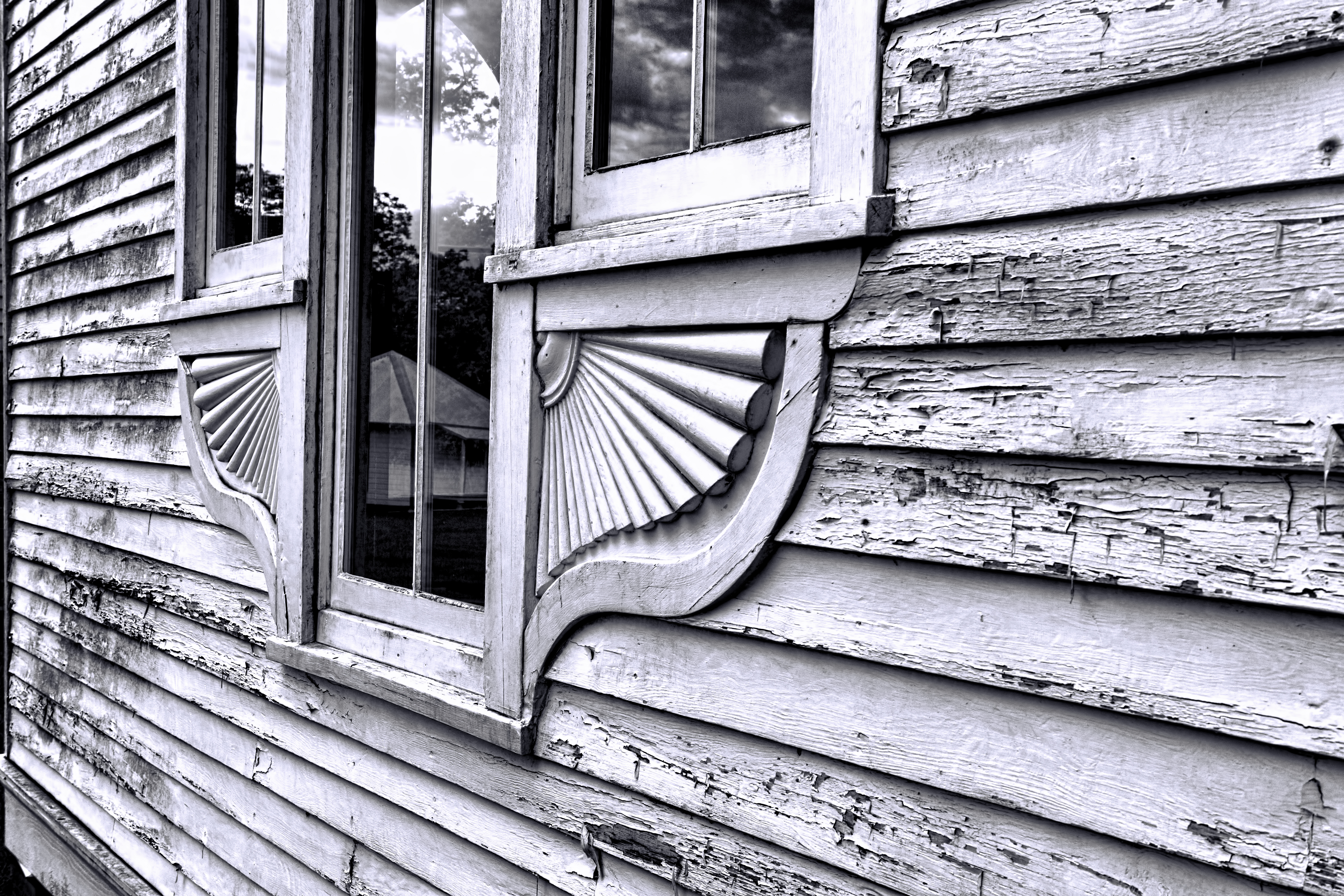
Chapel Details
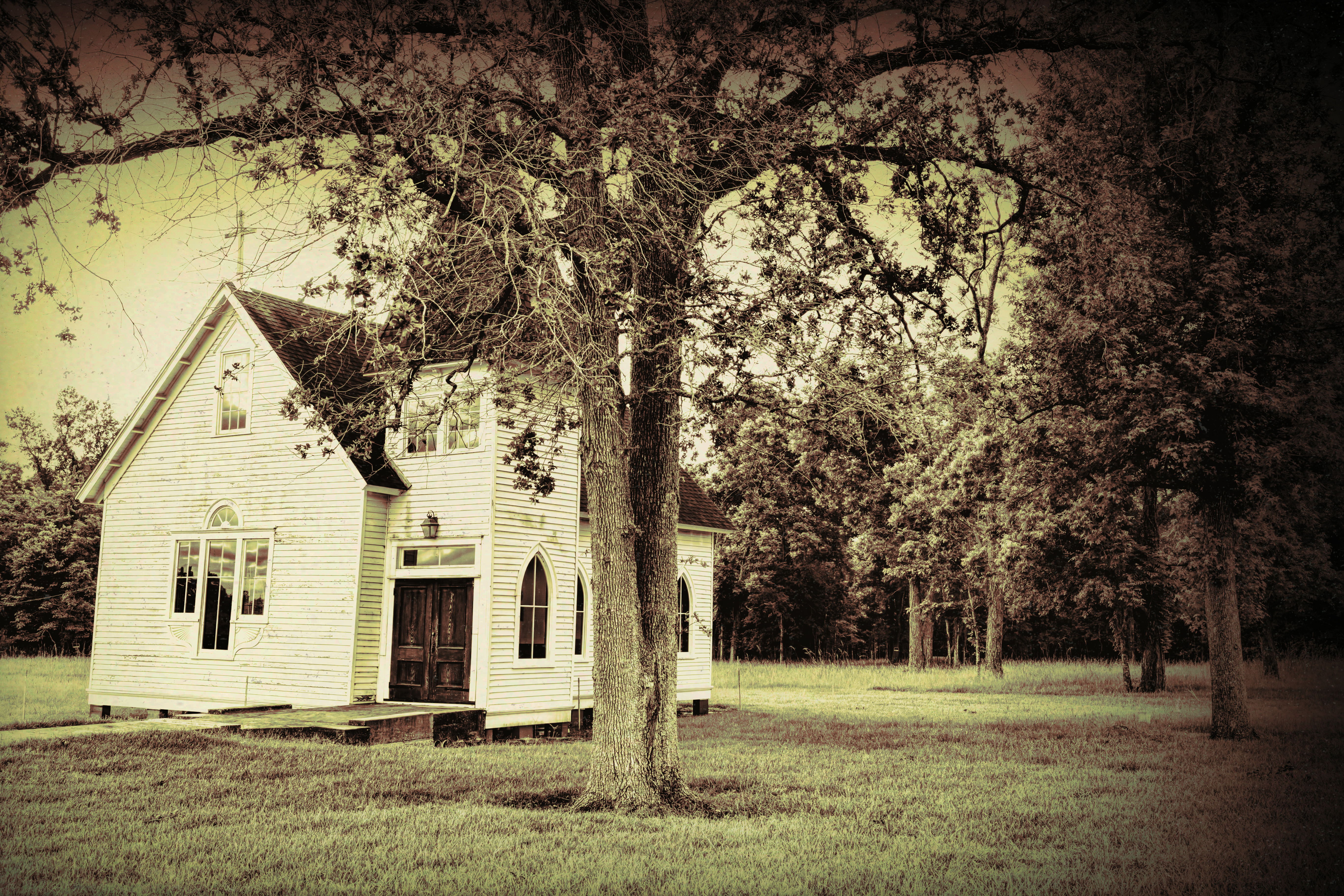
Liberty TX Chapel

20151227_082826~2
20151227_082855~2

20160109_094552~2
20160127_072122~2

20150912_073120~2

20150704_113054~2
20150704_113339~2~2

20150704_113318~2~2

20150704_112955~2

20150704_195124~2

20150705_105012~2
20150704_211718~2

20150507_184559~2

20150525_110527~2
Topographic Map of Co Rd, Liberty, TX, USA
Find elevation by address:

Places near Co Rd, Liberty, TX, USA:
County Road 2500
Co Rd, Liberty, TX, USA
Co Rd, Liberty, TX, USA
Liberty County
Co Rd, Hull, TX, USA
County Road 2058
2359 Fm 563 Rd
Hardin
1116 Co Rd 2016
Co Rd, Hull, TX, USA
11170 Fm1008
First America Homes At Encino Estates
559 County Rd 2331
County Road 645
County Rd, Dayton, TX, USA
60 County Rd, Dayton, TX, USA
Co Rd, Liberty, TX, USA
4017 Hillcrest St
6002 Atascocita Dr
160 County Rd 6391
Recent Searches:
- Elevation of N 82nd Pl, Mesa, AZ, USA
- Elevation of Snake Hill Rd, North Scituate, RI, USA
- Elevation of Lake Shore Dr, Warwick, RI, USA
- Elevation of E Brightview Ave, Pittsburgh, PA, USA
- Elevation of Cavendish Rd, Harringay Ladder, London N4 1RR, UK
- Elevation of 1 Zion Park Blvd, Springdale, UT, USA
- Elevation of Ganderbal
- Elevation map of Konkan Division, Maharashtra, India
- Elevation of Netaji Nagar, Hallow Pul, Kurla, Mumbai, Maharashtra, India
- Elevation of Uralsk, Kazakhstan