Elevation of 60 County Rd, Dayton, TX, USA
Location: United States > Texas > Liberty County > Dayton >
Longitude: -94.886575
Latitude: 30.1290347
Elevation: 27m / 89feet
Barometric Pressure: 101KPa
Elevation Map:
Satellite Map:
Related Photos:
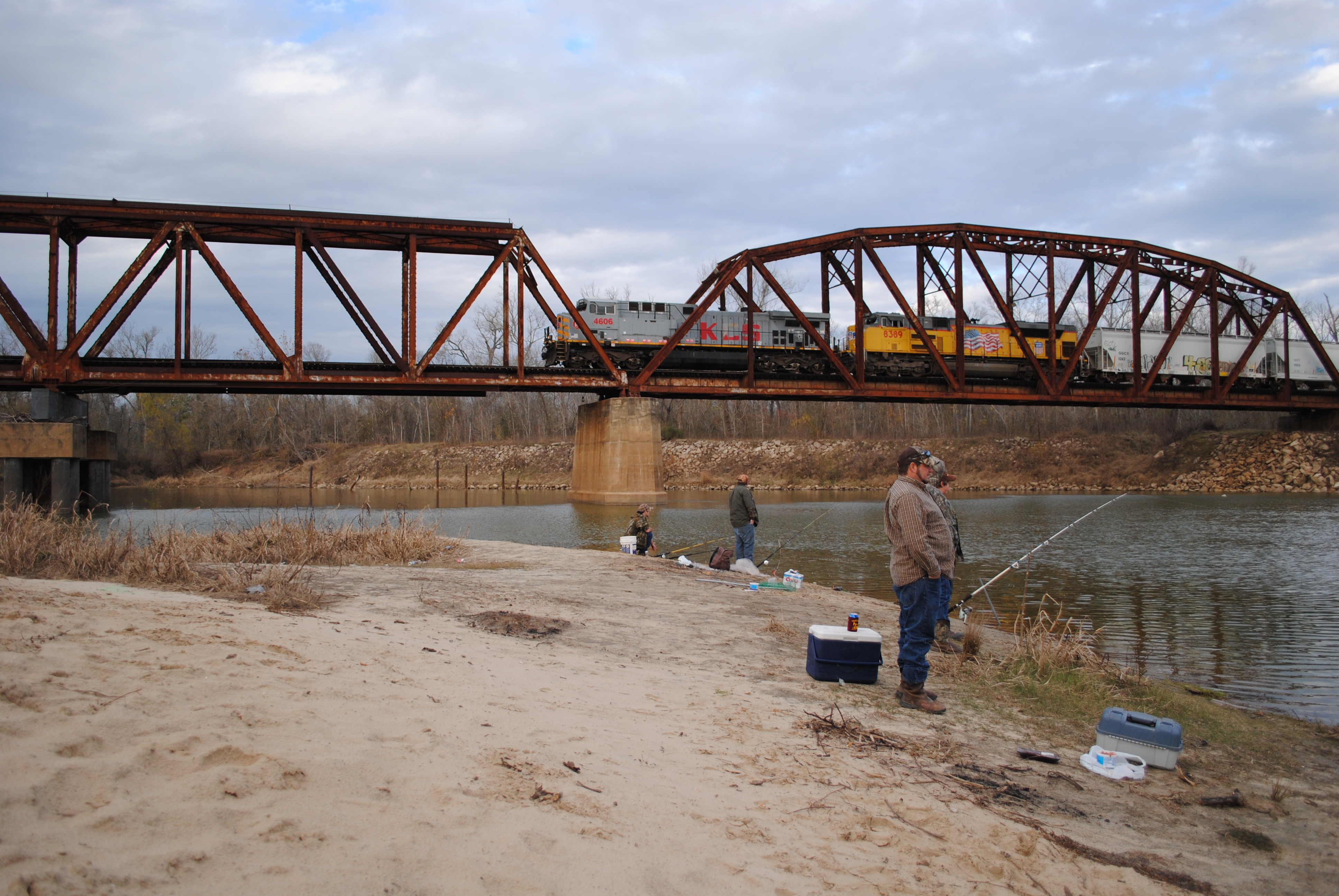
Fishing as KCS 4606 Crosses Trinity River on Union Pacific Railroad Bridge, Liberty, Texas 1301031610

Point Bar on the Trinity River

Through the corral

Fishing as KCS 4606 Crosses Trinity River on Union Pacific Railroad Bridge, Liberty, Texas 1301031608BW

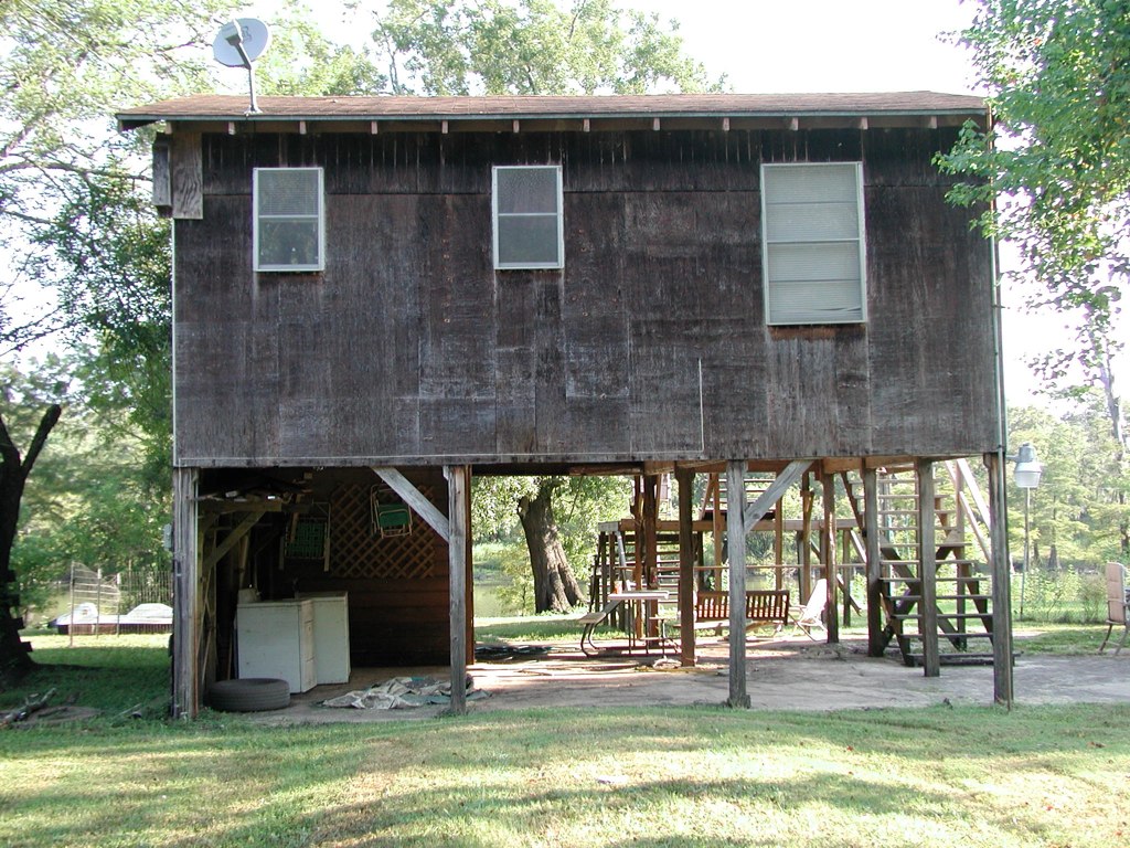
Once red barn 1

Rear end shot.
Front View

Back View

Side View

#texas #sunrise #magichour #cloudporn ... #streetphotography #vagabond

Costa Rica 2012 013

New Heifer.

A wet day at the range

A wet day at the range

20150609_065927~2
Topographic Map of 60 County Rd, Dayton, TX, USA
Find elevation by address:

Places near 60 County Rd, Dayton, TX, USA:
County Road 6508
695 County Rd 6769
559 County Rd 2331
County Road
106r
County Rd, Dayton, TX, USA
County Road 645
996 County Rd 632
915 County Rd 6324
160 County Rd 6391
742 County Rd 632
4490 N Cleveland St
9 River Oaks St
2359 Fm 563 Rd
1 River Oaks St
2 River Oaks St
201 E Austin St
First America Homes At Encino Estates
2800 N Winfree St
2009 Chester St
Recent Searches:
- Elevation of Congressional Dr, Stevensville, MD, USA
- Elevation of Bellview Rd, McLean, VA, USA
- Elevation of Stage Island Rd, Chatham, MA, USA
- Elevation of Shibuya Scramble Crossing, 21 Udagawacho, Shibuya City, Tokyo -, Japan
- Elevation of Jadagoniai, Kaunas District Municipality, Lithuania
- Elevation of Pagonija rock, Kranto 7-oji g. 8"N, Kaunas, Lithuania
- Elevation of Co Rd 87, Jamestown, CO, USA
- Elevation of Tenjo, Cundinamarca, Colombia
- Elevation of Côte-des-Neiges, Montreal, QC H4A 3J6, Canada
- Elevation of Bobcat Dr, Helena, MT, USA