Elevation of Magnolia St, Liberty, TX, USA
Location: United States > Texas > Liberty County > Liberty >
Longitude: -94.800558
Latitude: 30.0693829
Elevation: 12m / 39feet
Barometric Pressure: 101KPa
Elevation Map:
Satellite Map:
Related Photos:

Before The Storm

Fishing as KCS 4606 Crosses Trinity River on Union Pacific Railroad Bridge, Liberty, Texas 1301031608BW
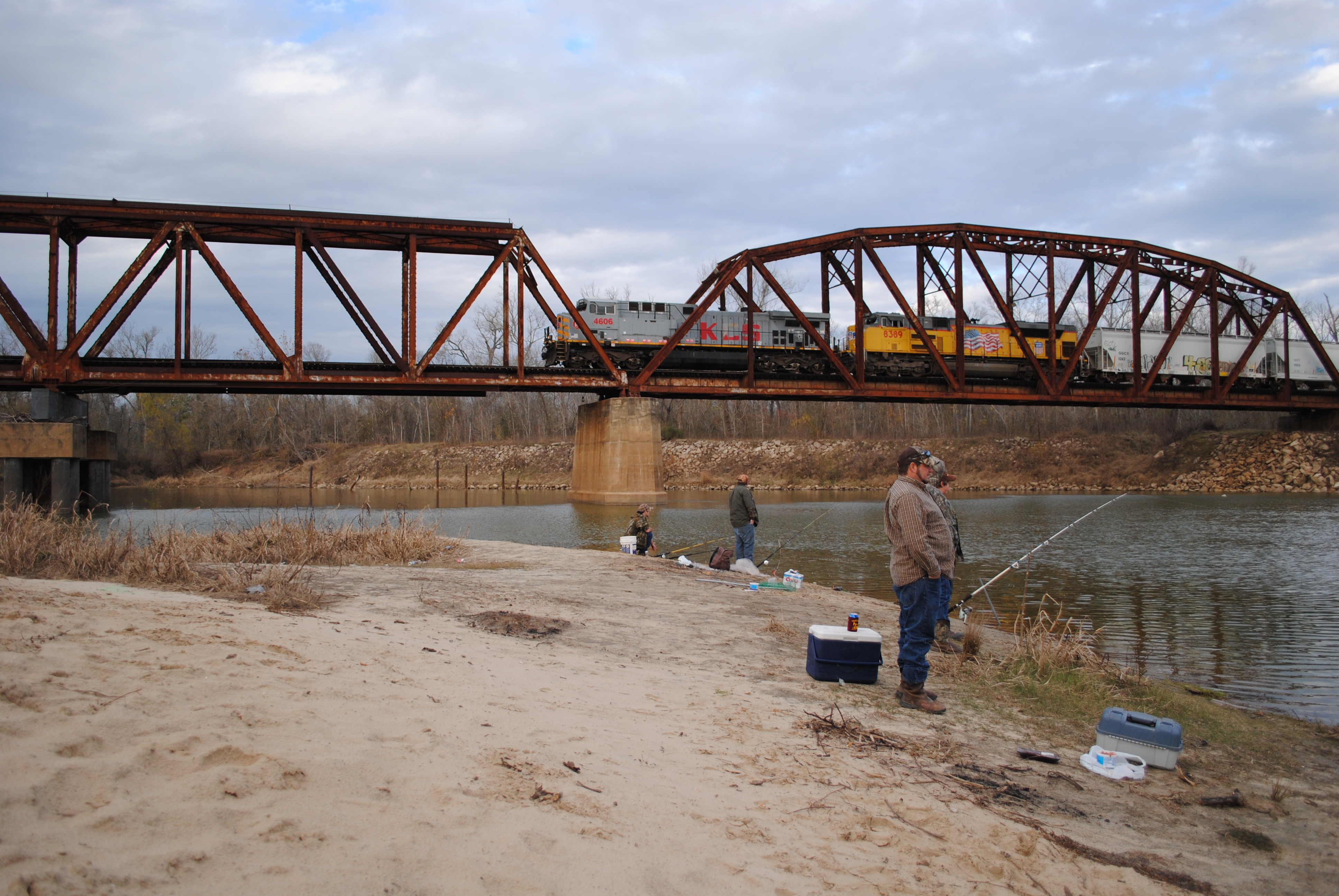
Fishing as KCS 4606 Crosses Trinity River on Union Pacific Railroad Bridge, Liberty, Texas 1301031610

Through the corral

Rear end shot.
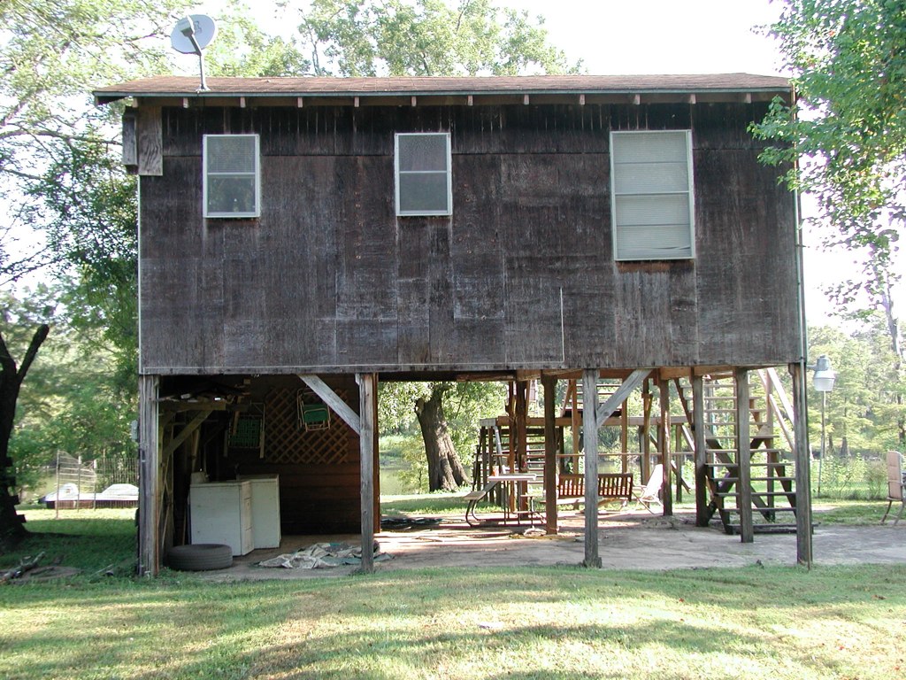
Front View
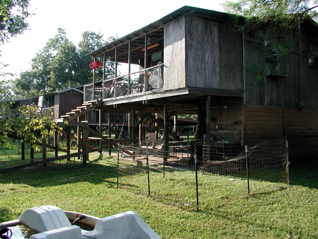
Back View
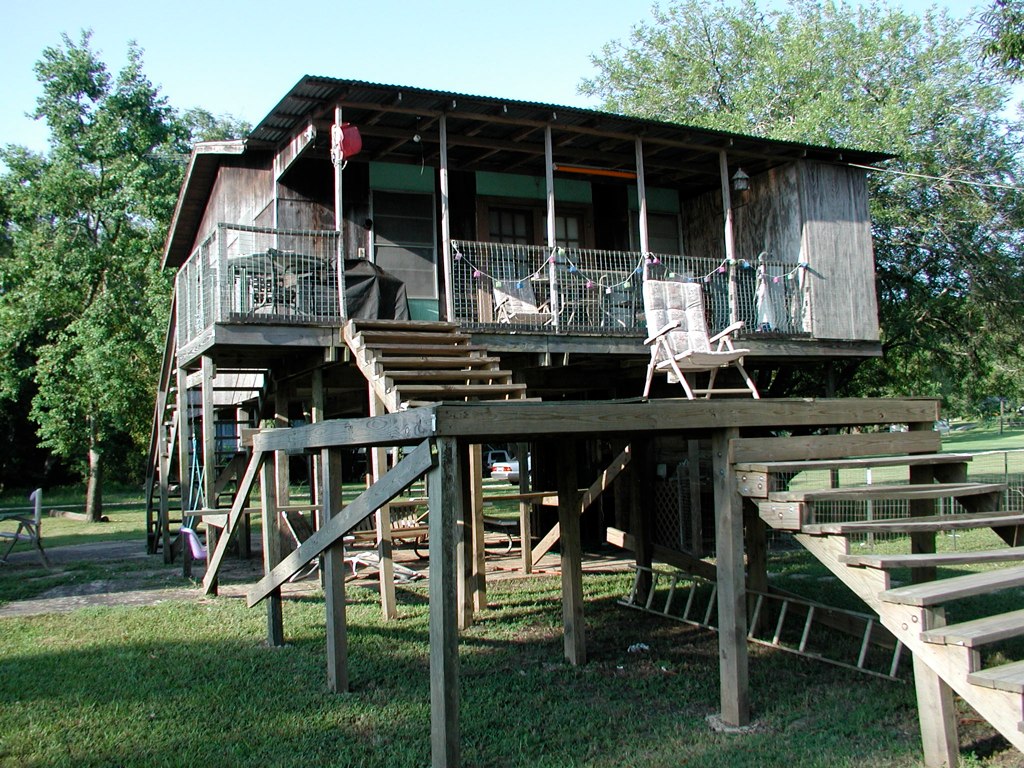
Side View

Point Bar on the Trinity River

Once red barn 1

#texas #sunrise #magichour #cloudporn ... #streetphotography #vagabond

The scary sinkhole ... cracks all over the place

20150609_065927~2

Sunset in the clouds

Costa Rica 2012 013

New Heifer.
Topographic Map of Magnolia St, Liberty, TX, USA
Find elevation by address:

Places near Magnolia St, Liberty, TX, USA:
1602 Edgewood St
1602 Hawthorne St
1801 Trinity St
1019 Lynnwood Ave
2525 Jefferson Dr
6002 Atascocita Dr
1600 Grand Ave
410 Minglewood Rd
938 Minglewood Rd
4017 Hillcrest St
4003 Beaumont Rd
160 County Rd 6391
County Road 645
County Rd, Dayton, TX, USA
742 County Rd 632
996 County Rd 632
915 County Rd 6324
559 County Rd 2331
2009 Chester St
106r
Recent Searches:
- Elevation of Zimmer Trail, Pennsylvania, USA
- Elevation of 87 Kilmartin Ave, Bristol, CT, USA
- Elevation of Honghe National Nature Reserve, QP95+PJP, Tongjiang, Heilongjiang, Jiamusi, Heilongjiang, China
- Elevation of Hercules Dr, Colorado Springs, CO, USA
- Elevation of Szlak pieszy czarny, Poland
- Elevation of Griffing Blvd, Biscayne Park, FL, USA
- Elevation of Kreuzburger Weg 13, Düsseldorf, Germany
- Elevation of Gateway Blvd SE, Canton, OH, USA
- Elevation of East W.T. Harris Boulevard, E W.T. Harris Blvd, Charlotte, NC, USA
- Elevation of West Sugar Creek, Charlotte, NC, USA